Wrong Turn.
Avro Anson MG464 on Grisedale Pike.
(Distance covered =
6.7 mile/Ascent =+1113m)
Plan for this day was to go and visit a crashsite of a n HP Halifax on Eel Crag just north of Keswick, that I almost got to in 1985; on the way I planned to visit another Avro Anson site on Grisedale Pike, then on the way back re-visit the Hawker Hurricane on Scar Crags that I did get to in 1985. That would make this walk a nice 10 mile circular route with ascent of about 1270m.
That was the plan, my plans never go to plan. Well the first part did anyways as I set off from home nice and early so I could get parked in the small carpark above Braithwaite where I was starting off from.
 Even arriving at the carpark just after 7-00am
I was lucky to get the last space.
To reach the Anson crashsite I first had to climb to the top of Grisedale Pike, which is 791 metres of uphill right from the start. The very start of this 791 metres of uphillyness was a very steep haul up out of the carpark which was made a little easier by some wooden steps that had been constructed.
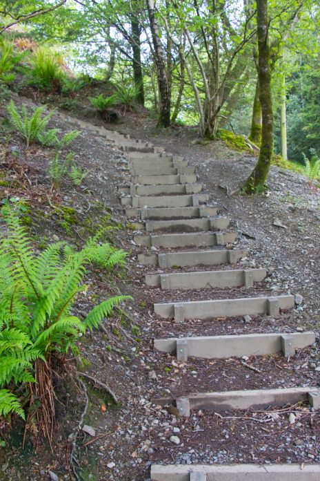
I imagine this section would have been a lot more enjoyable before the steps were there, especially if it had been raining.
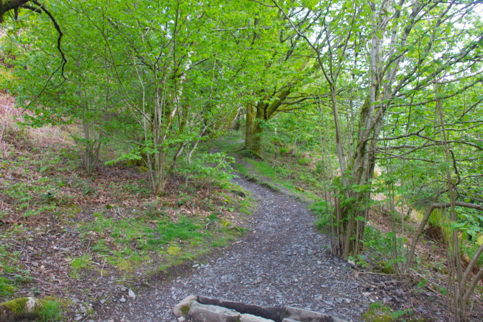
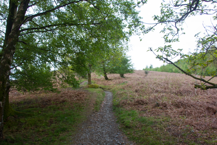
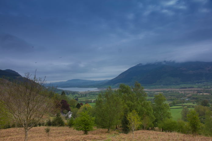
Bit of a view back to Bassenthwaite Lake, which is actually the only body of water in the Lake District which has "Lake" in it's name, all the others are either "Water" or "Mere".
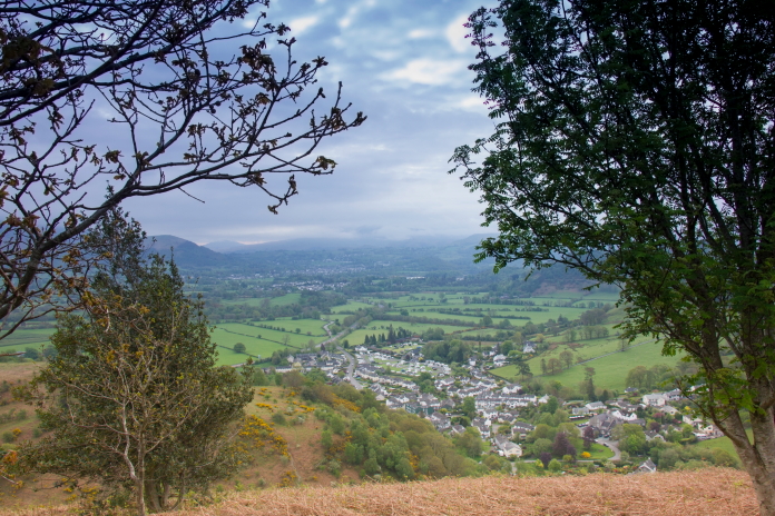
View down to Braithwaite, I stopped in that caravan park in 1985, that's when I visited the Hurricane site on Scar Crags. Although the top of Grisedale Pike and indeed all the surrounding hills were covered in Cloud I was kind of hoping it would have lifted by the time I got up there. The start of my walk was quite pleasant as I was below the cloud and there was a nice well trodden path to follow thanks to being on the route of the Coledale Horseshoe, which is a very popular circular route around the hilltops adjacent to the Coledale Beck.
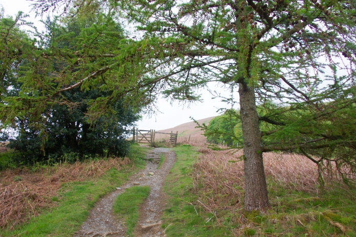
This path is well frequented due to people heading off to complete the "Coledale Horseshoe"
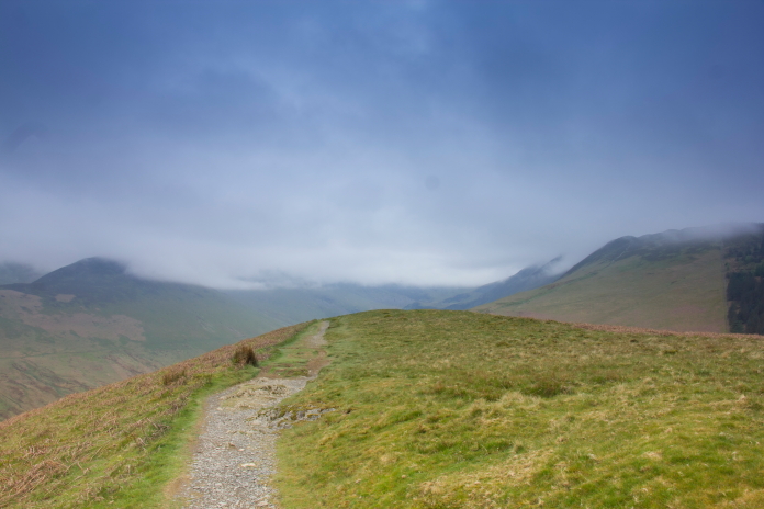
above and below:-Starting to gain a bit of altitude, the well trodden path made navigating very easy.
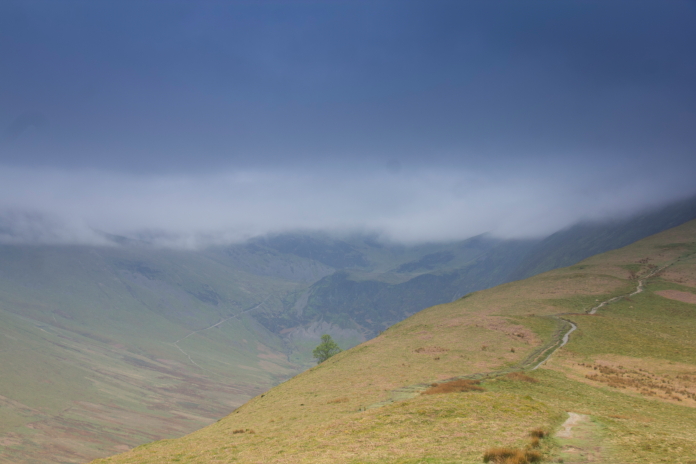 Although following the Coledale Horseshoe
route with it's well trodden path did make navigating very easy at the
start, it was going to teach me a valuable lesson a bit further on.
For now though I was able to plod along enjoying the views and not
worrying about going the wrong way.
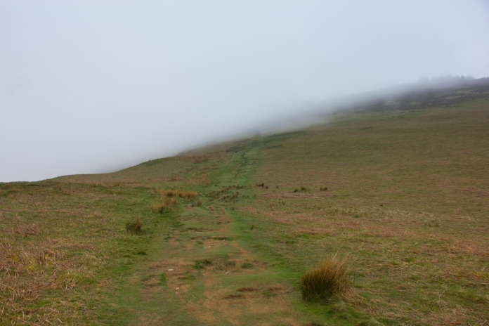 above and below:- About to enter the
clag, which still hadn't lifted as hoped.
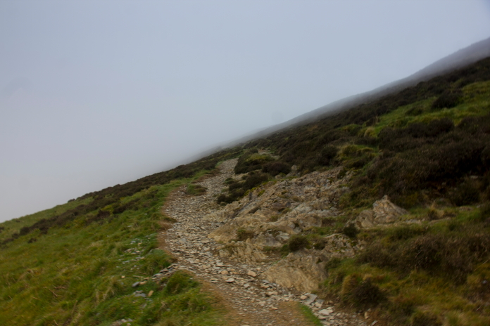
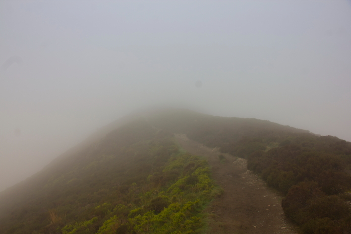 above and next 3 photos:-Some nice views might of distracted from
the monotonous slog up to Grisdale Pike Summit.
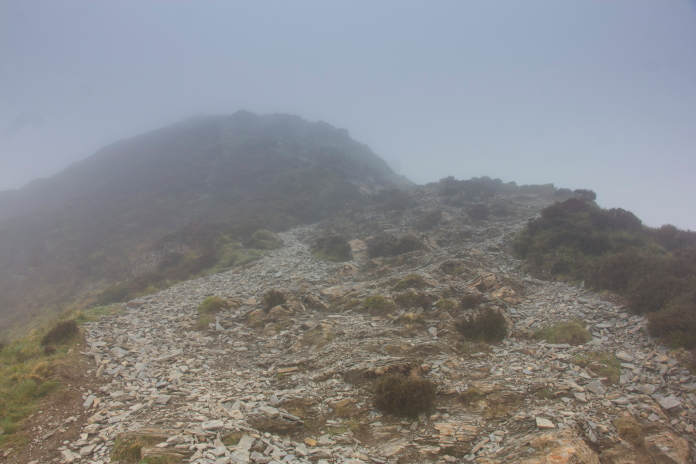
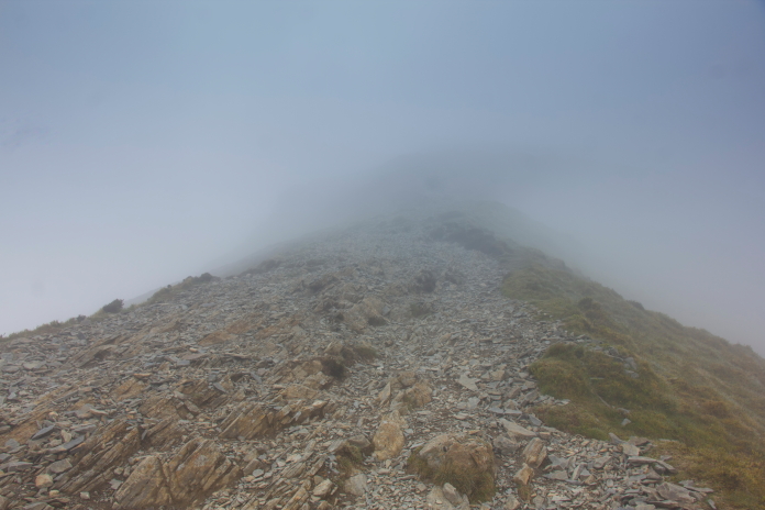
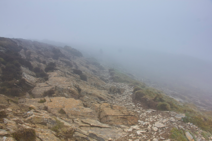 While studying the map to plan my route I had taken a mental note that
upon reaching the summit I should follow the well trodden path over
the top and down the other side to reach the Anson site, I couldn't go
wrong as I would just need to keep the Coledale valley on my left.
This however went horribly wrong on the day; as I arrived at the
summit of Grisedale Pike I followed the well trodden path over the top
and down the other side keeping the Coldale Valley to my left as
planned but what I didn't realise because of the zero visibility was
the well trodden path I should have followed was hidden from view and
the well trodden path I followed was another route to Grisedale Pike
from the north. The valley to my left was Hobcarton Gill and not
Coledale Beck.
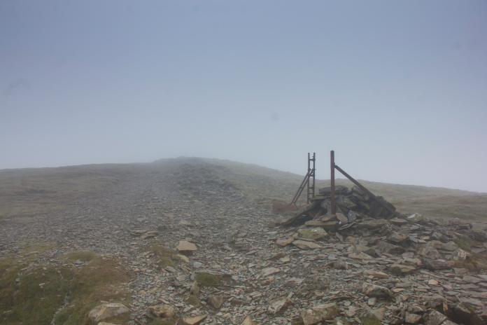
I did contemplate walking those few metres up to the summit, but decided against it as there was no view; if I had of I would have noticed the correct path down the other side.
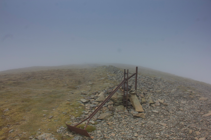
The well trodden path I followed. I didn't realise my blunder until quite a way down the north side of Grisedale Pike when I started to emerge from underneath the clag. The first thing that alerted me to my faux pas was a forest that I knew shouldn't be there, I then checked my map (which I should have done on the summit of course) and quickly realised what I had done. About turn and back up the hill it was, but first I had a quick look around Hobcarton End as I'd read somewhere that there is another possible Anson crashsite on there; as yet undiscovered.
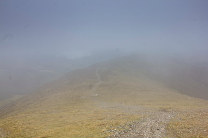
Just about to realise my slight error.
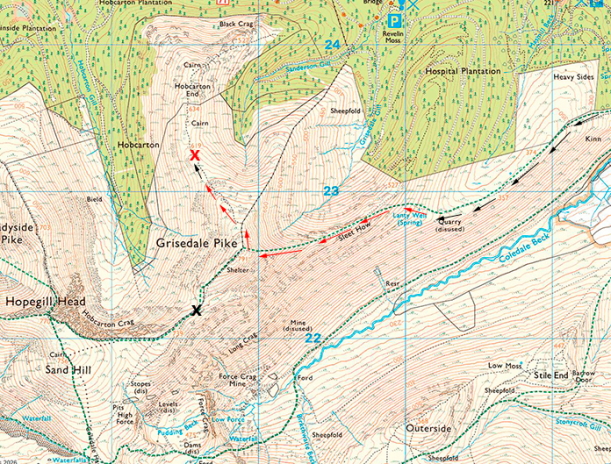
The black cross is where I wanted to be, the red cross is where I ended up. I arrived back at the summit of Grisdale Pike (after my latest reminder not to take the navigating for granted) with the Anson site on Hobcarton End still undiscovered and set off down the correct path which was now easily visible as the cloud had eventually lifted a bit, so my unintentional detour did have one positive outcome.
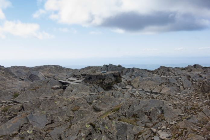
Stumpy little trig on the summit of Grisedale Pike.
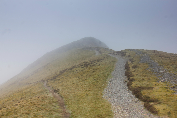
On the correct tourist path, the little path on the left here took me closer to my search area.
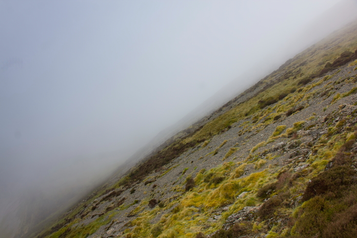
My search area for bits of Anson Wreckage.
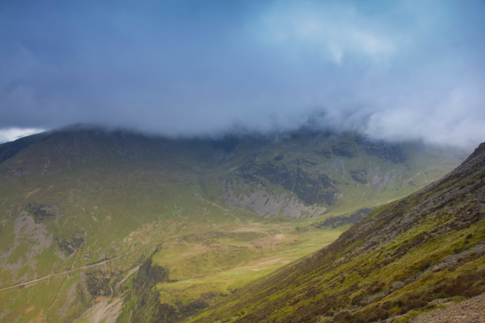 View over to Eel crag, location of the second crashsite on my day's itinerary.
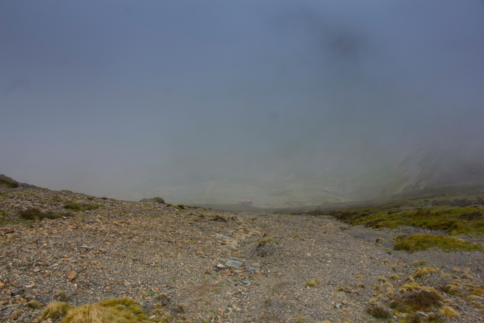
The grid reference I had put the crashsite lower down and to the right of this scree chute. On arriving at the grid reference I had, it was a bit disappointing to find absolutely nothing. I had read reports on the tinterweb that the remains lay amongst scree, so I deduced that it must be in the nearest scree chute to where I was now standing. As the nearest scree chute was quite large it took me quite a while to reach the conclusion that it wasn't in that either.
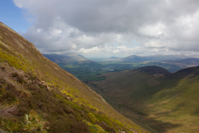
This is the area where Anson wreckage should be located according to my grid reference. After failing to find anything in the scree I then searched below it and to either side of it, but still nothing, so I headed over to a small crag to have a sit down and some bait. I had fetched along a Tupperware box full of chicken drumsticks, while eating these I was joined by one of those massive crows that fly around in mountains, it sat on the rock next to me watching me, so I ate the chicken and gave him the skin ; I say him, it might of been a her, or a non binary they/them crow I don't know, what ever it was, it enjoyed sharing my bait.
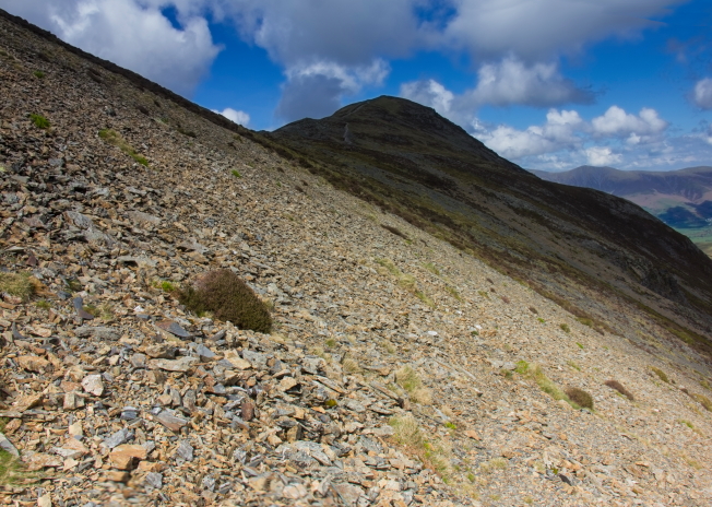
Where I eventually found some wreckage , quite a way along and up the slope in a different area of scree. After plan A and Plan B were a #fail I commenced plan C which was walk quite a way downhill then make long sweeps back and forward while gradually making my way back up the hill. Plan C worked as I found a piece of pipe right at the bottom of the next scree chute over. I was then able to follow a wreckage trail back uphill from that which terminated at an area of disturbed ground right next to the small path previously mentioned.
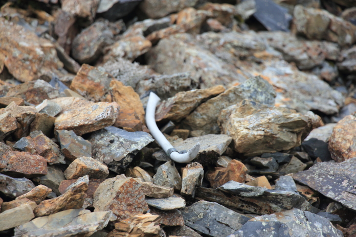
Anybody who goes searching for wrecksites will understand why I was so happy to find this small piece of corroded pipe. More wreckage photos.
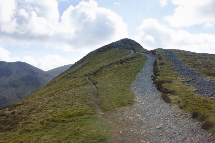 Above and below:-After searching for several hours I
eventually found the Anson crashsite right next to the small path
going around the hill on the left, the same path I had
walked along earlier.
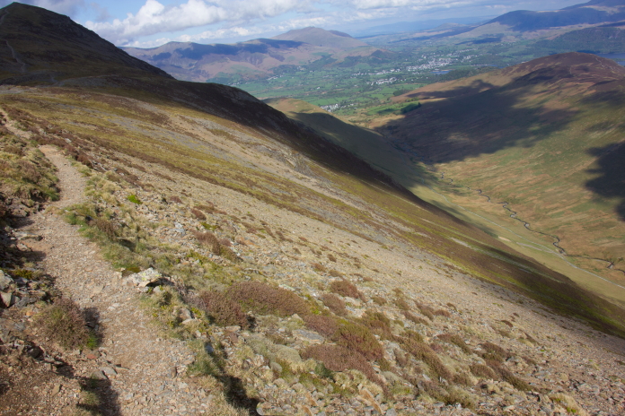 Because of my earlier hiccup and also after taking so long to find
this crashsite, I decided it would be a bit of a push timewise to
continue on to the second and third crashsite on my planned itinerary;
this was a very wise decision as I would find out a couple of weeks
later when I returned to finish off todays plan..
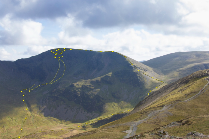
The yellow arrows here indicate the route I followed a couple of weeks later searching for HP Halifax wreckage on Eel Crag; the two areas outlined in yellow are where I found pieces of wreckage scattered. There was no way I would have had time to accomplish this on the same day as my visit to the Anson on Grisedale Pike.
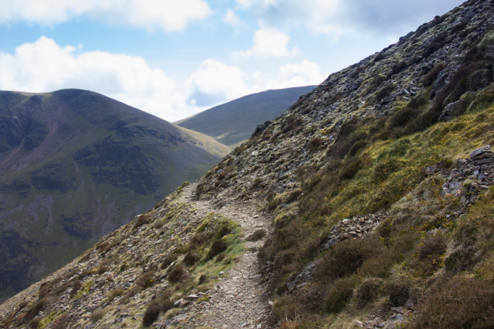
This nice little path did try to entice me to continue a bit further.
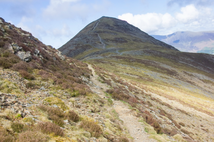
Retracing my steps back to the car would involve scaling Grisedale Pike summit for a third time.
 Above and below:-If I'd stuck to my original plan I would have
ended up walking along the tops of all these hills and also completed
most of the Coledale Horseshoe.
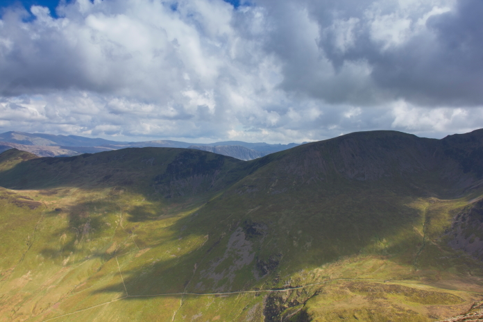
Crashsite 3 on my plan was over the other side of that ridge. The third crashsite on my original route for the day was a Hawker Hurricane that lay over the other side of Scar Crags. I had already been to see this one way back in 1985. On that day I was also intending going to the Halifax on Eel Crag, but after finding quite a few pieces of the Hurricane scattered up the very steep scree slopes I again decided it was too late in the day and headed back to the car; a blue Morris Marina estate that struggled to get up any of the passes in the Lake District and used as much oil as petrol.
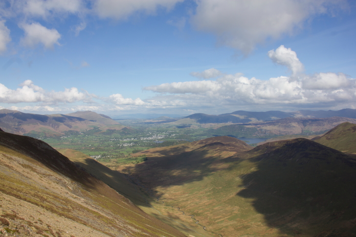
Nice view down the Coledale Valley with Keswick and Derwentwater visible in the distance. Abandoning any thought of proceeding to crashsite number 2 and 3 meant I could have more of a leisurely walk back to the car the way I'd came, and as it was now cloud free on the tops I could enjoy the views that I couldn't see on the way out. Another bonus was I was easily able to keep to the correct path up and over the top of Grisedale Pike, although even if it had still been cloudy there was no way I would make that mistake again.
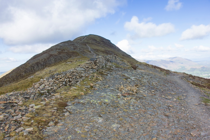
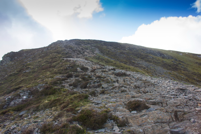
Approaching the summit of Grisedale Pike.
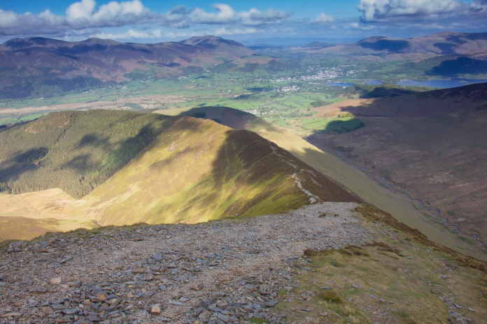
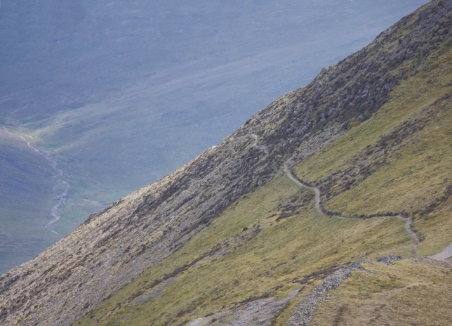 Above and below:-The Anson crashsite is
located in the centre of these photos, just to the left of the path
contouring around the left of the peak.
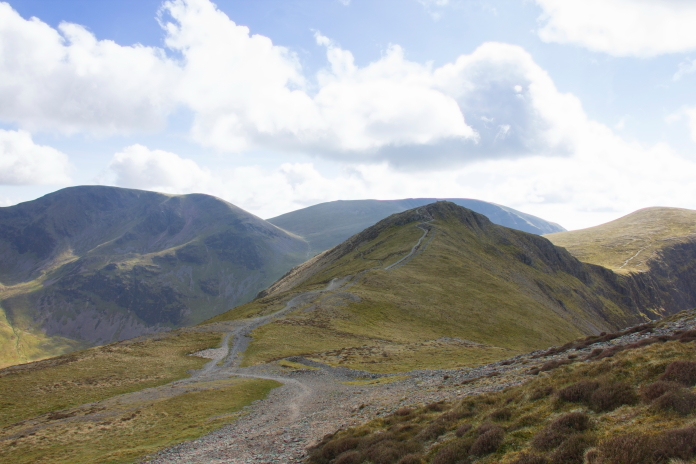
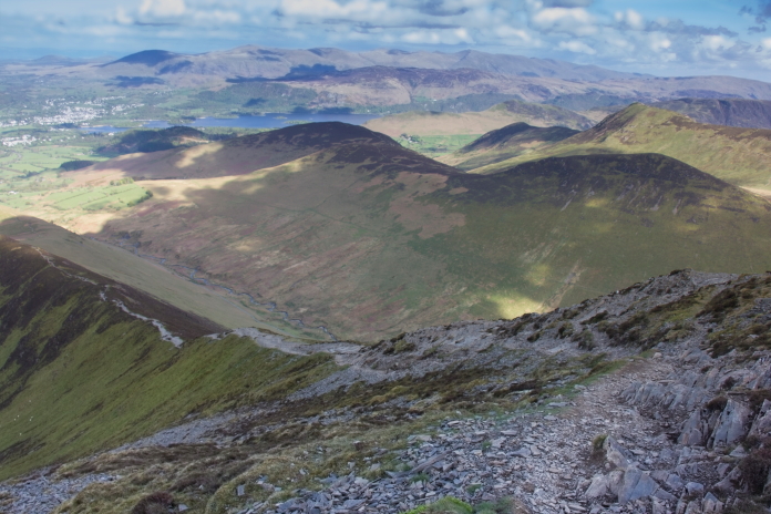
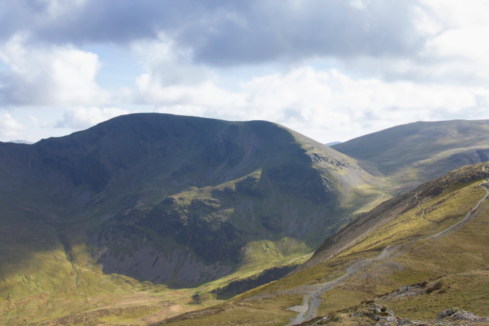 Above and next two photos:-More views over to the Halifax crashsite, viewed from Grisedale Pike.
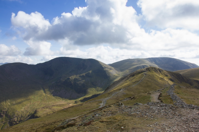
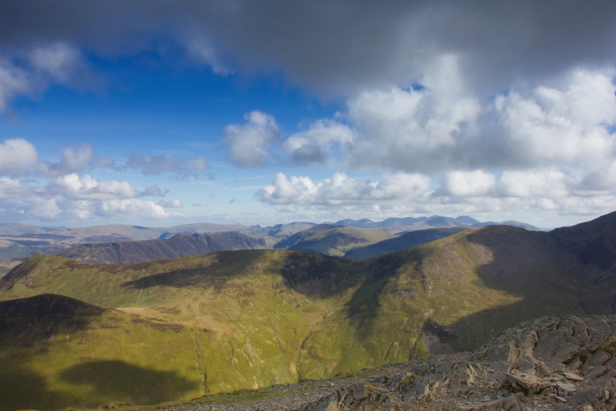
View south-east from Grisedale pike.
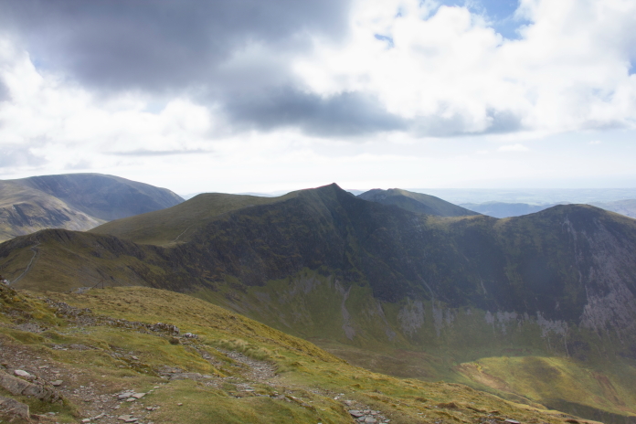 View
west from Grisedale Pike over to Hopegill Head and Ladyside Pike.
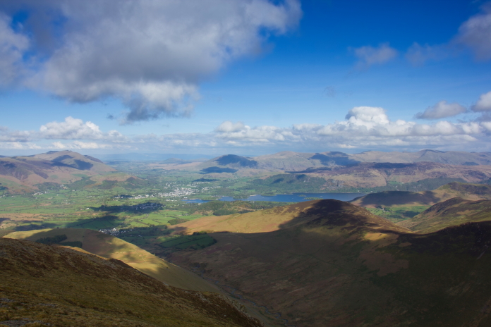
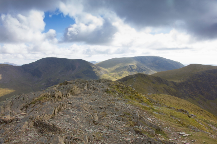
Back on the very top of Grisedale Pike.

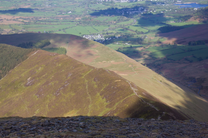
View down to Hobcarton End and the path I inadvertently followed on the way out, there's reportedly another Anson crashsite down there somewhere; if anybody ever comes across it please let me know.
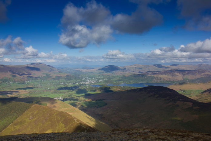
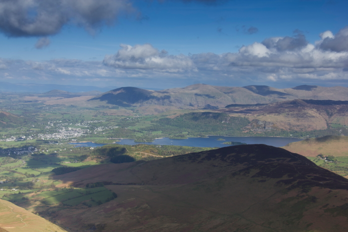
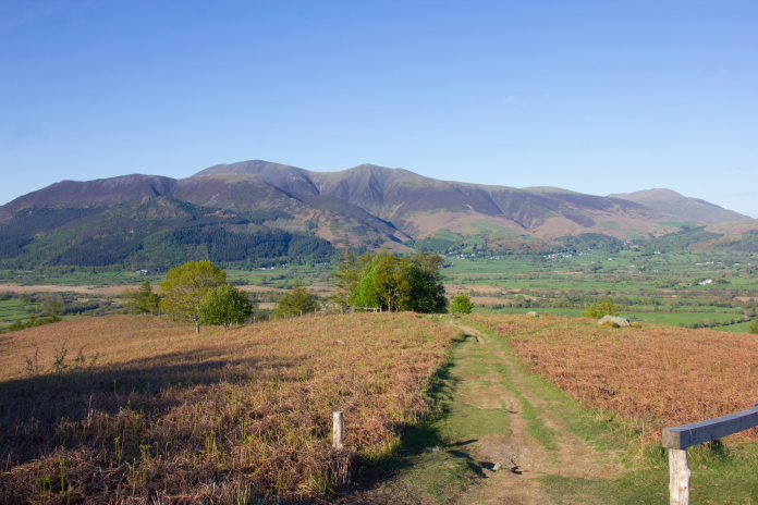
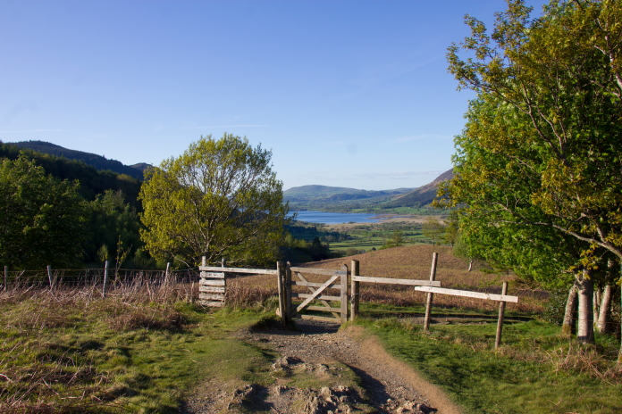
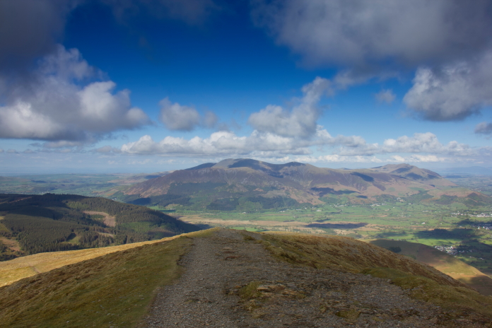 Above and next 14 photos:-Descending Grisedale Pike back towards
the carpark above Braithwaite.
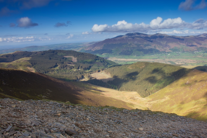
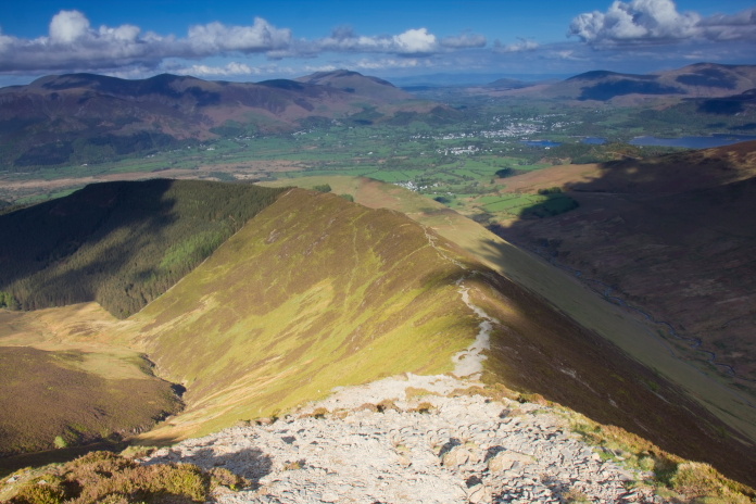
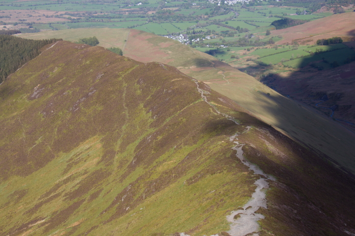
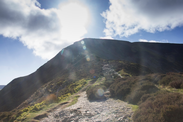
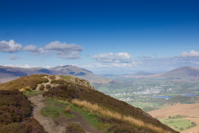
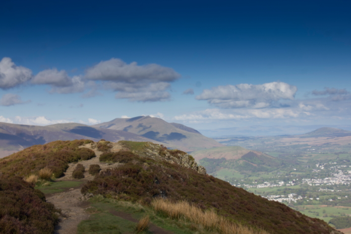
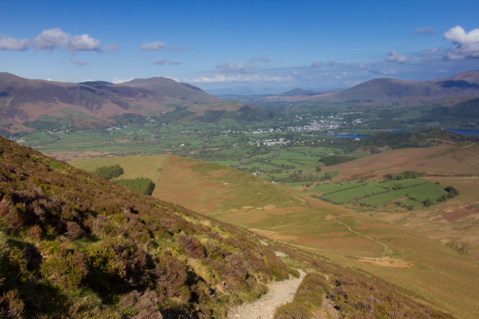
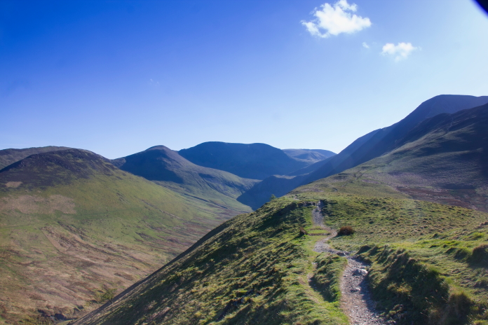
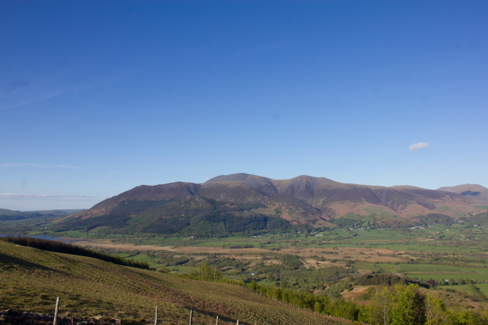 Skiddaw, there's a B-17 and Wellington crashsite on there.
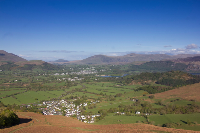
Braithwaite with Keswick beyond.
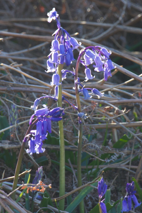
Some Foxgloves, eating a couple of these would be enough to kill you according to the Guide in 'The Poison Garden' in Alnwick Gardens .
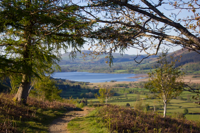 Above and next two photos:-The last very steep descent back to the
carpark.