Brocken Spectre
Vickers
Wellington X3336 on Ullock Pike
(Distance covered = 4.6
miles/Ascent = 692 metres)
On a previous visit to the hills just north of Keswick myself and my eldest son Stuart visited the crashsite of an American B-17* on the steep scree slopes of Skiddaw. I hadn't realised at the time that there was another crashsite on an adjacent Hill, within easy walking distance of our route.
A couple of weeks after our excursion to the B-17 on Skiddaw there was a rather nice Weather forecast for the Keswick area, sunshine and clear blue skies; so off I went to look for the other site.
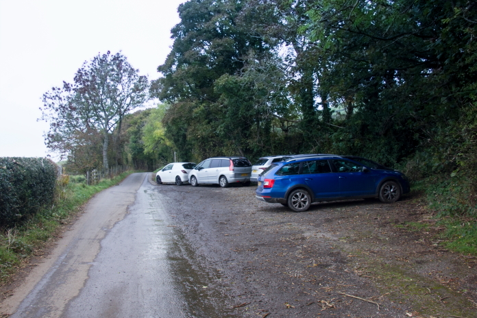
This trip I used the Shitroen, I prefer using the Wife's little Fiat Panda for places like this because it's so much easier to squeeze into a
small space when parking is limited.
I could have taken the same route as we used to reach the B-17 site but I didn't fancy tackling the very steep climb again so I opted for a longer but less severe route starting a mile north of the Ravenstone Hotel. This route was a more gradual climb up along a ridge and it promised some nice views off to the south.
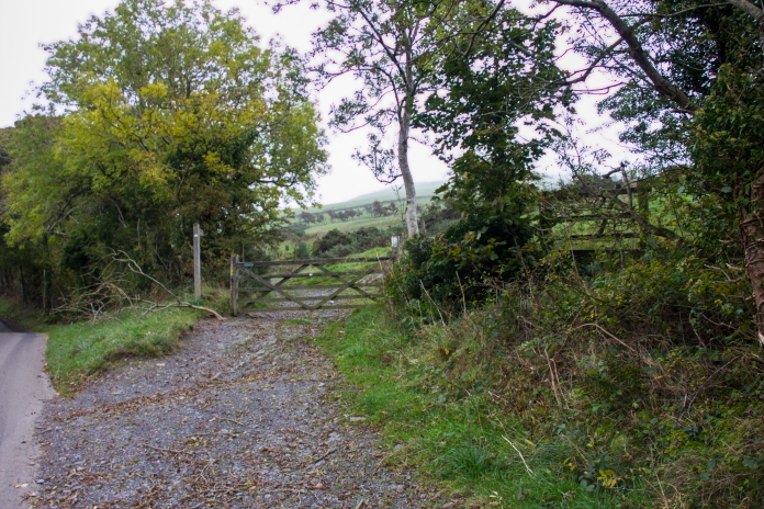
Setting off from a small carpark at the
side of a single track road that branches off the A591 about 5 mile north
of Keswick.
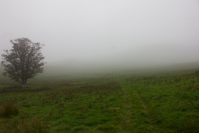
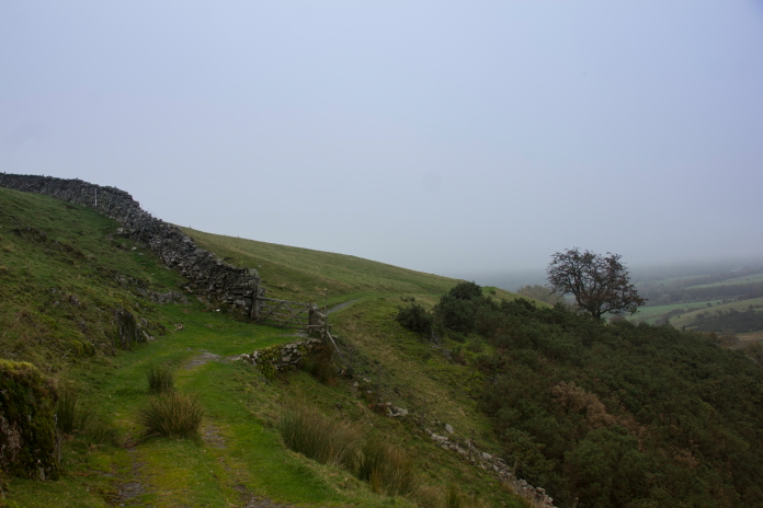
above and next two photos:-Seems like the weather forecast was a little inaccurate.
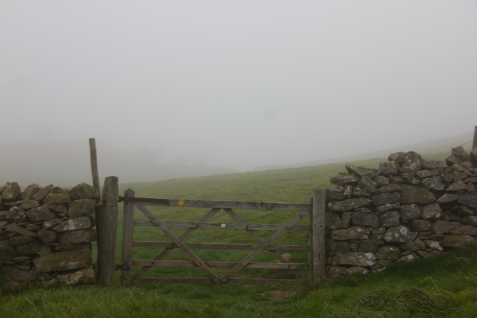
Although it's nice walking along in clear blue skies and sunshine I quite enjoy having a walk in poor visibility and I don't mind if it rains for a bit as long as its not that type of rain that goes on and on all day. I think it's a lot more atmospheric when you can't see especially far and even better if the clag keeps lifting a bit every now and then to give you a sneaky peek of your surroundings.
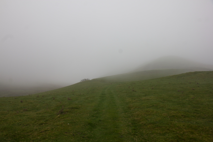
Hills always look a lot bigger than they actually are when you approach then in bad visibility.
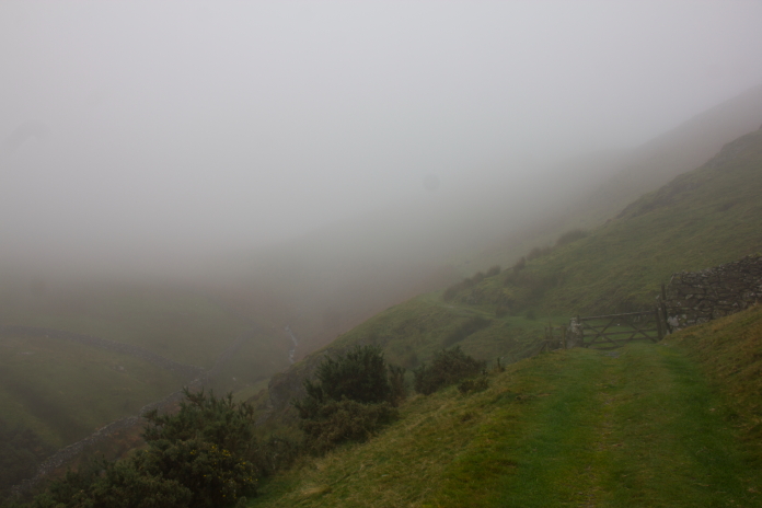
This stretch actually looked a lot more impressive in the clag.
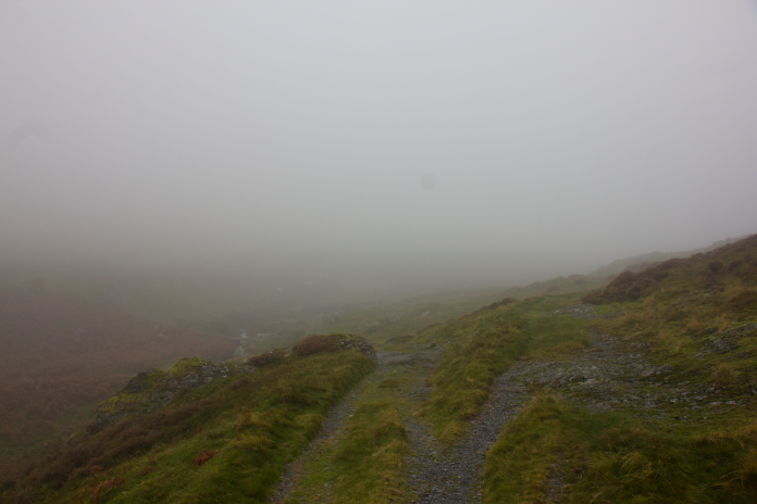
The human bodies natural tendency to go left almost had me going in the wrong direction at this junction in the path.
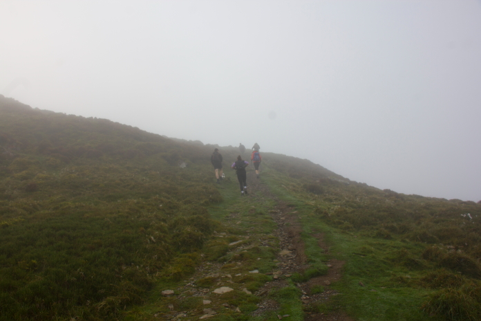
Some other Hikers coming up the path that starts out from the
Ravenstone Hotel.
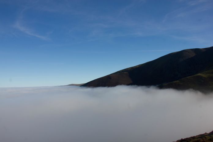
As I started the ascent up onto Ullock Pike I started becoming just a little bit hopeful that there might be a Cloud Inversion on the cards. In case anyone doesn't know what a Cloud Inversion (or temperature inversion) is, it's a meteorological phenomenon where the usual atmospheric temperature pattern is flipped. Instead of air getting cooler as altitude increases, a layer of cold, moist air becomes trapped near the ground beneath a layer of warmer air. This trapped, cold air condenses into a blanket of fog or low-lying clouds that fill valleys and basins, so if you're lucky as you climb up the hill you get to emerge out of the cloud into brilliant blue skies and sunshine.
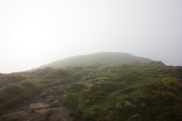
above and below:-Early indications of an impending cloud inversion experience.
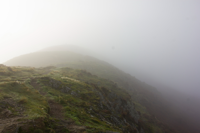
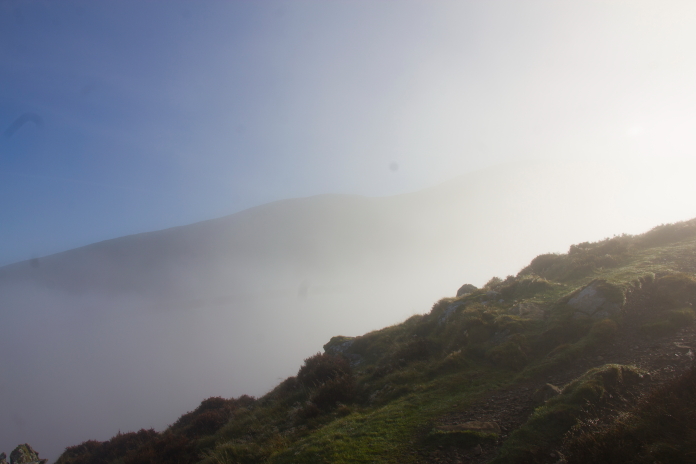
Looking even more likely.
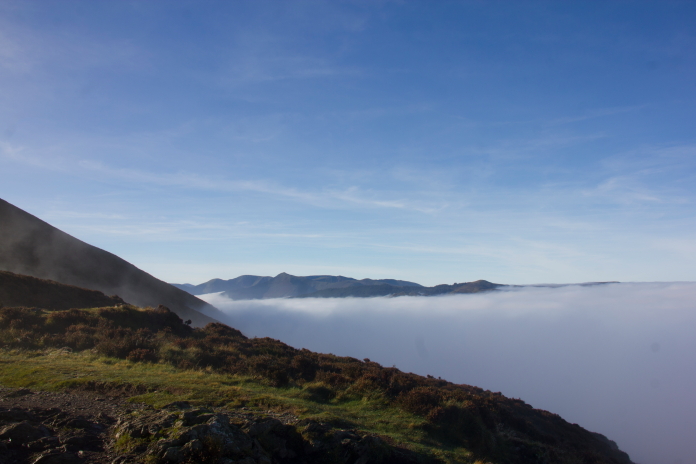
Result!
Including this one I have now been treat to 4 cloud inversions when I have been out Hillwalking, although it was a bit of an epic one on this day it wasn't quite as good as the one I enjoyed on Broadlaw in the Scottish Borders several years ago.
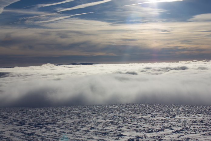
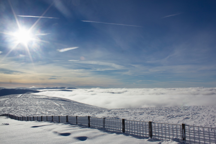
above and below:-Brilliant cloud inversion on Broadlaw; It' holds the distinction of best Cloud Inversion I've experienced, helped by the fact the hill was also covered in snow.
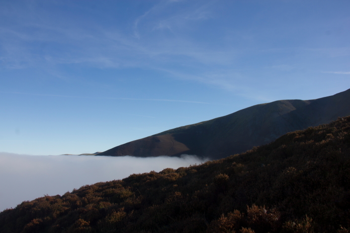
above and below:-Seems the weather forecast was right, just not down in keswick.
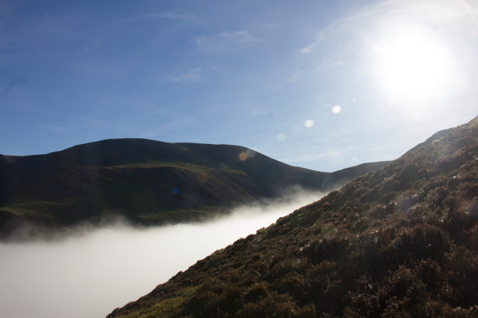
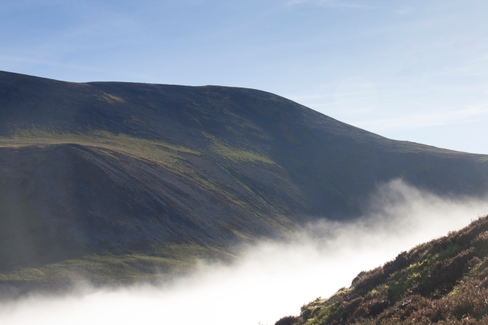
View over to Skiddaw, The B17 crashsite we visited a couple of weeks earlier was on the steep scree slopes just above centre of the photo.
After I had to lose 4 stone in weight when I was diagnosed with type 2 diabetes, dangerously high Cholesterol and severe sleep apnea, I have found it much easier to walk up Mountains. Today I thought I was proper scootling up the hill at a really good rate of knots for my age and I was really pleased with my progress, that is until I was overtaken by an Over 70's walking group, one of whom referred to me as being a young-un!
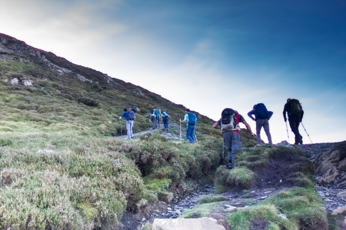 The over 70's walking group who
were also proper scootling up the hill at a good rate of knots more
than me!; Nearly as bad as being overtaken by a 6 yr old Girl on the
way up Scafell Pike.
The over 70's walking group who
were also proper scootling up the hill at a good rate of knots more
than me!; Nearly as bad as being overtaken by a 6 yr old Girl on the
way up Scafell Pike.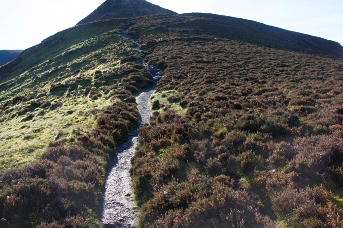
above and below:-The well worn path that goes along 'The Edge' then up and over Ullock Pike before intersecting the path up from Millbeck that we used on our B17 visit.
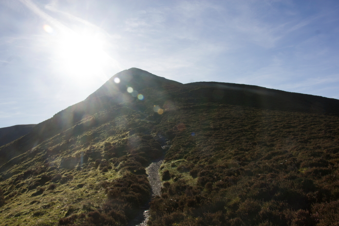
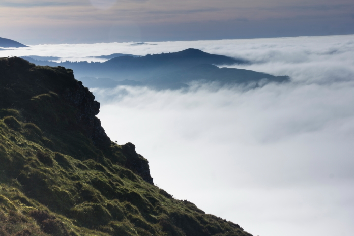
Although I consider the Cloud Inversion on Broadlaw as the best I've seen, this one came close.
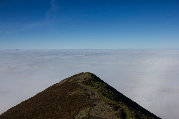
above and below:-On The Edge.
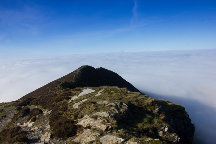
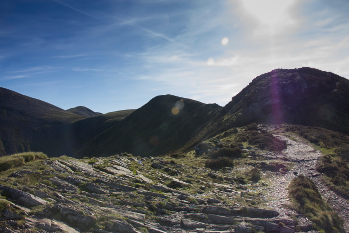
Approaching the summit of Ullock Pike.
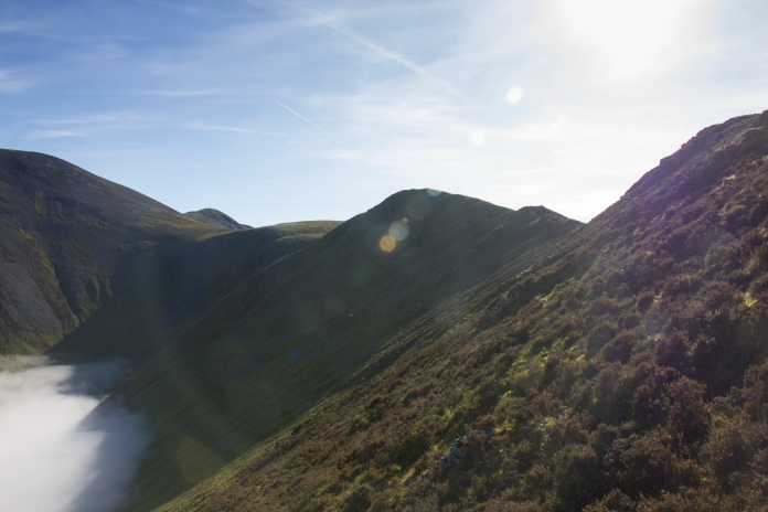
This is the sort of Terrain I would soon be searching.
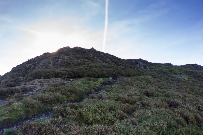
The top of Ullock Pike.
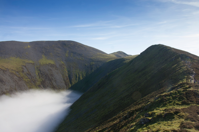
Above and below:-Walking between Ullock Pike and Longside Edge.
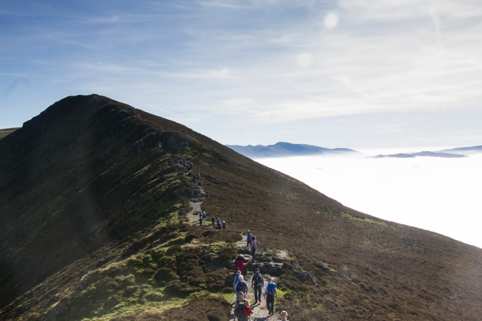
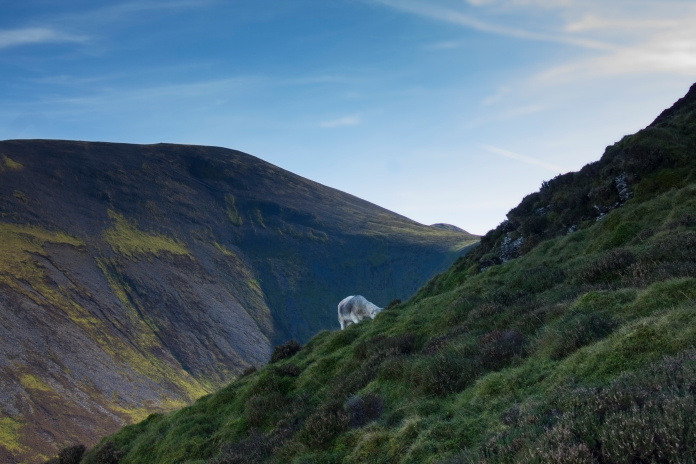
A Sheep having it's Bait.
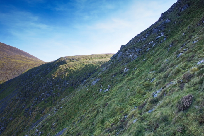
In the search area on the lookout for bits of Vickers Wellington. This was another site where the grid reference I had was a little out, about two hundred metres out I would say. I knew pieces of the Wellington had been found down the bottom of the scree so when I didn't find anything at the grid reference I headed down there, then walked back and forward across the slope until I found a piece. I was then able to follow a trail of pieces uphill until I found the impact point.
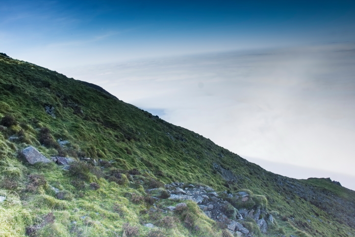
Above and below:-There is a small patch of disturbed ground at the impact point but no pieces of Wellington. More crashsite photos
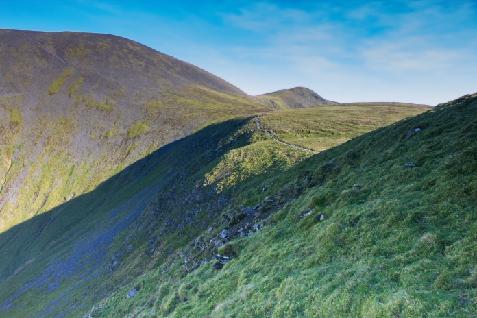 After spending quite a bit of time searching the steep scree slopes to
find the crash site I went back up onto the ridge and had a nice long
sit down in the sunshine to enjoy the views of the cloud inversion
before retracing my steps back to the car.
After spending quite a bit of time searching the steep scree slopes to
find the crash site I went back up onto the ridge and had a nice long
sit down in the sunshine to enjoy the views of the cloud inversion
before retracing my steps back to the car.
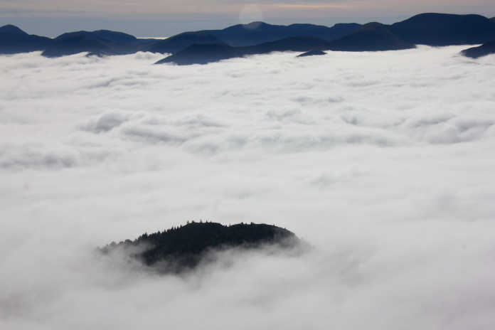 More cloud inversion photos.
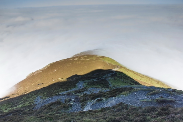
Above and below:-Descending back down the way I came up.
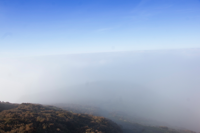
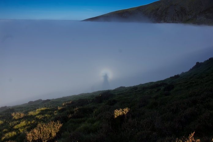
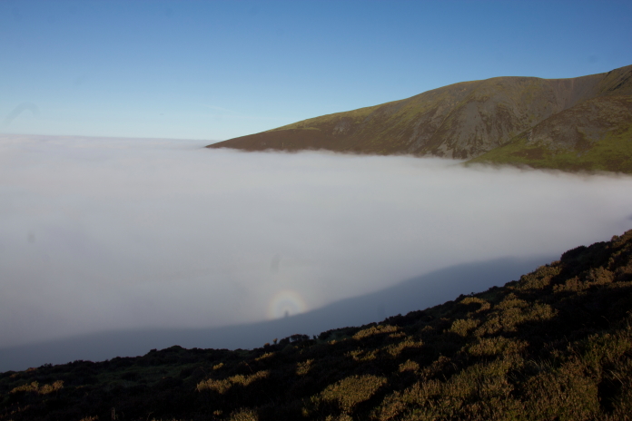
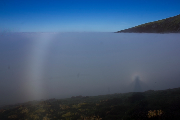 Above and nest 2 photos:-A Brocken Spectre.
(A Brocken Spectre is
a large,
often magnified shadow of an observer(in this case me) cast onto a cloud or mist,
creating the illusion of a giant, ghost-like figure)
Above and nest 2 photos:-A Brocken Spectre.
(A Brocken Spectre is
a large,
often magnified shadow of an observer(in this case me) cast onto a cloud or mist,
creating the illusion of a giant, ghost-like figure)
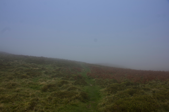 above and below:-Back down into the clag.
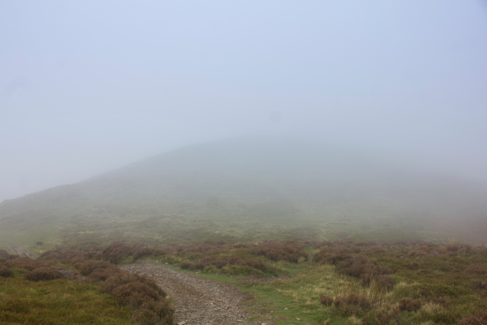
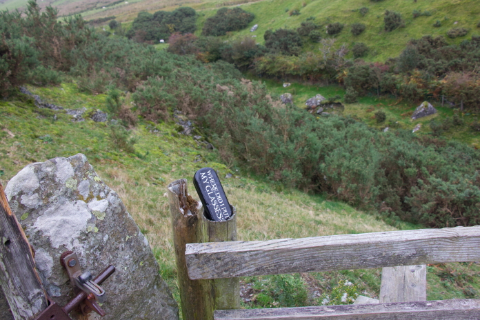 above and below:-I didn't notice this on the way up?