
A scenic stroll around the
northern Pennines
Gloster Meteor WD778, Vickers Wellington T2715, HP
Halifax BB310 and Lockheed Hudson N7325.
(Distance covered = 15.0 mile/Ascent
=+910m)
It was the North of England Highland Dancing Championships; they are held in Newcastle and I didn't have to take the girls or pick them up so I could pretty much go where I wanted for however long I wanted.
I'd been wanting to revisit five crashsites
in the vicinity of Cross Fell in the Northern Pennines which I'd failed to find
or failed to reach on a previous excursion, so
now that I had no time limits I hatched a rather ambitious plan to go and
look for those five plus another 3 in the area, trouble is this was going to involve a 20 mile hike.
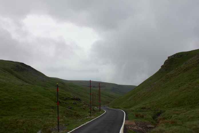
There is a private road that was built to access the NATS Radar station on
the top of Great Dunn Fell, this road is the highest tarmac'd road in the
UK. I figured if I parked as far up this road as I could it would shave over
5 mile of my walk and most of the altitude.
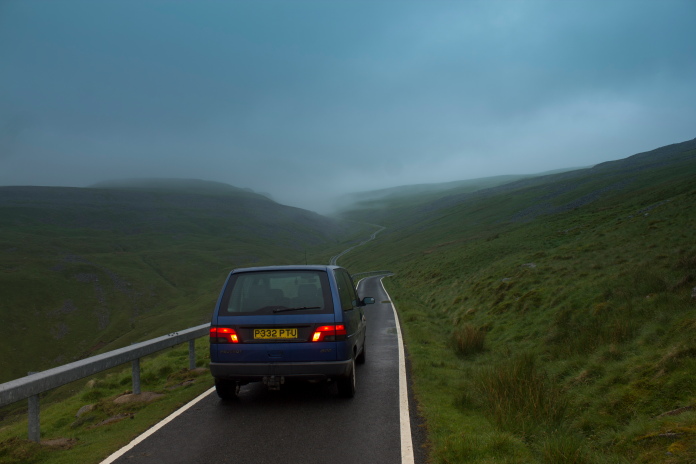 Driving
up the private road which leads up to the NATS Radar station on the top of
Great Dunn Fell. One of the Pugs taillights was not working on this photo
so in case any Traffic Policemen look at my website I have replaced the
bulb using photoshop!
Driving
up the private road which leads up to the NATS Radar station on the top of
Great Dunn Fell. One of the Pugs taillights was not working on this photo
so in case any Traffic Policemen look at my website I have replaced the
bulb using photoshop!

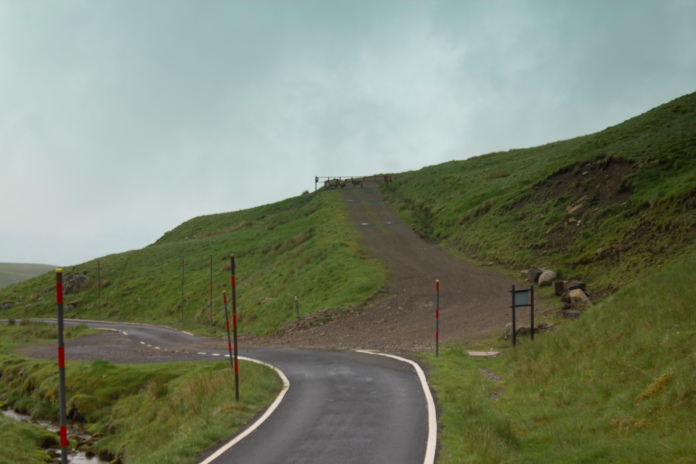
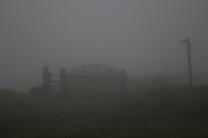
A locked barrier meant I could only drive about 3/4's of the way to the summit but that was ideal as the car was now parked at the midway point of my walk.
Being able to drive onto Great Dunn Fell would also mean my car would be at the halfway point of my route which was in essence a figure of eight, which incorporated three crashsites to the south of Great Dunn fell and 5 to the North. I contacted NATS and was told it would be ok to use their road.
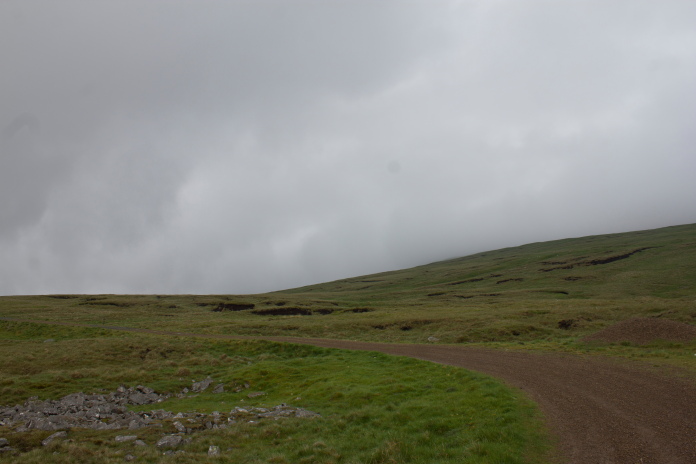
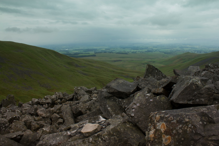
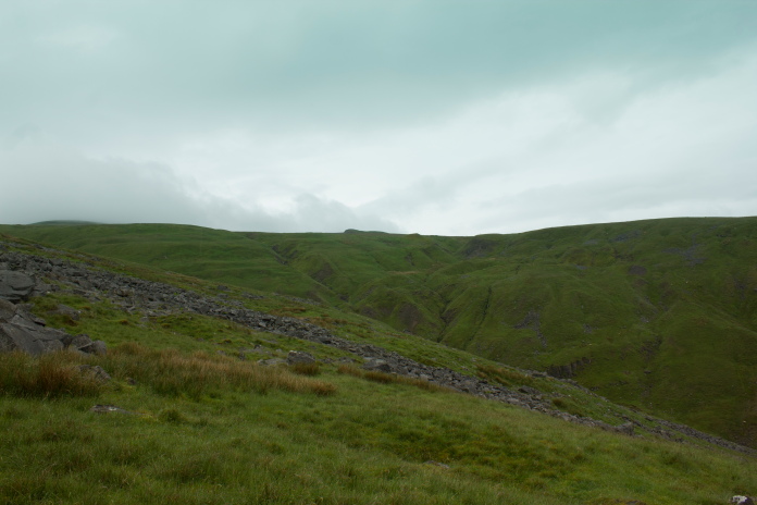
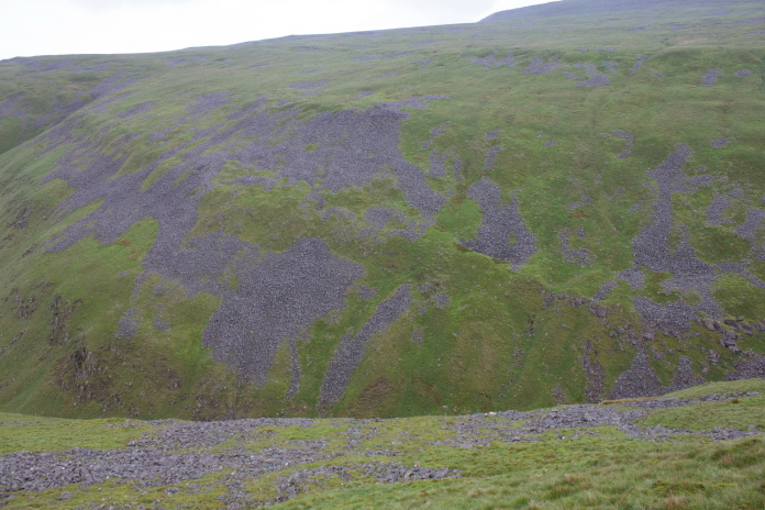
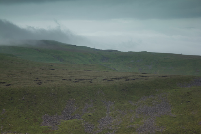
Heading south towards the first of three crashsites in that direction.
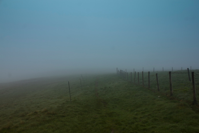
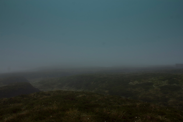
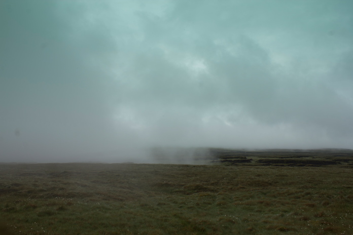
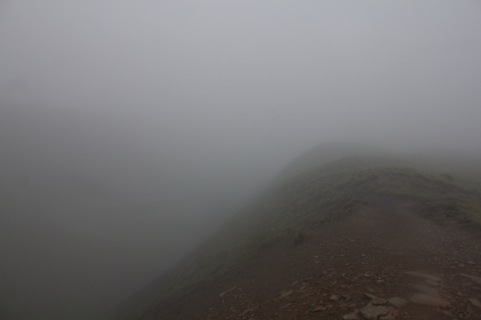
The weather forecast had not been too good and that certainly seemed to be the case as I set off to the south following the Pennine Way for the first couple of miles across Knock Fell to Knock Old Man.
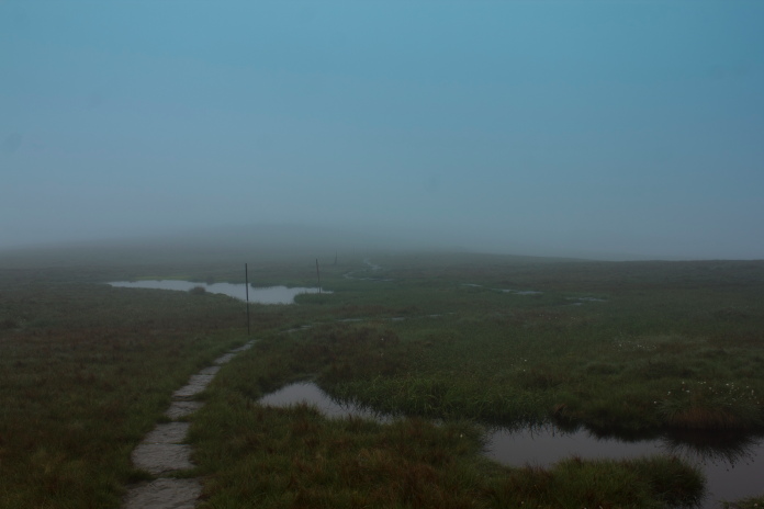
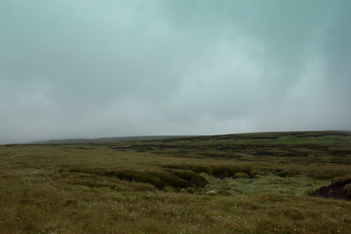
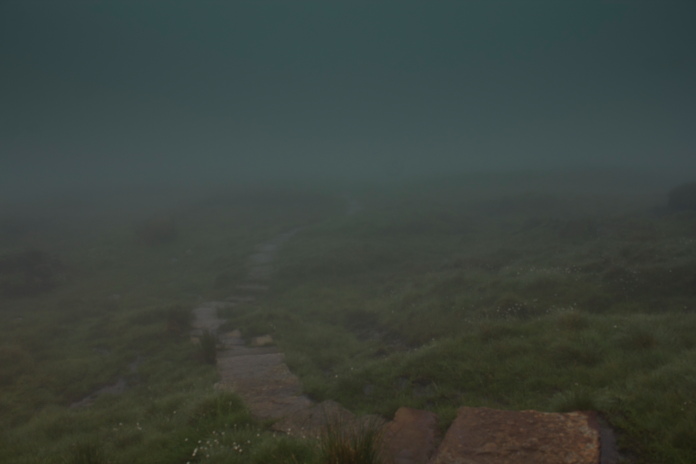
Above and below:-Following the Pennine Way across Knock Fell.
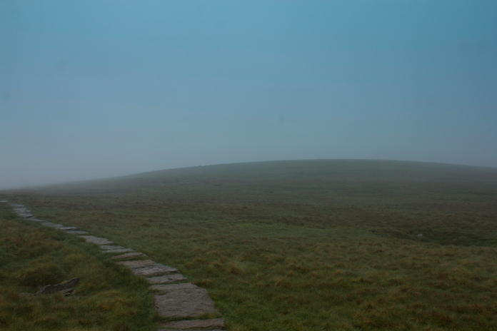
Once I reached the summit of Knock Old Man I had to leave the nice flagstones of the Pennine Way and follow a compass bearing south into the clag. Although I'd been to this crashsite twice before* that counted for nothing in finding it this time, as the visibility was so poor and because one peat gully looks like any other when walking in thick clag. Instead of heading straight for where the crashsite was marked on my map I headed off to the right to intersect a burn that ran up into the area from the west and once I came across that, finding the Meteor was easy enough.
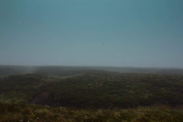
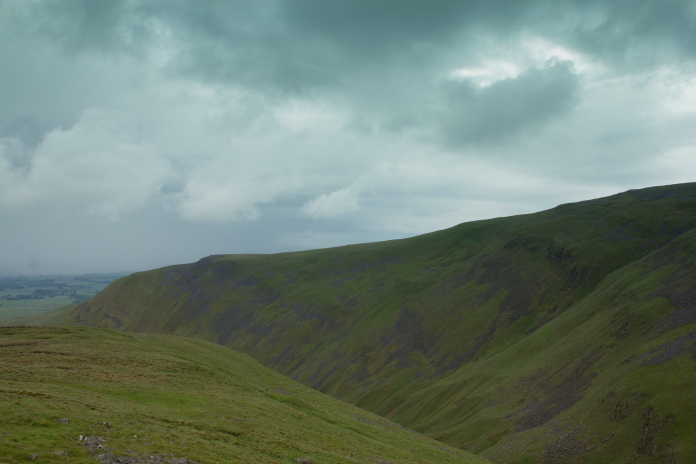
Lovely views from the summit of Knock Old Man.
Above and next 15 photos:-Wreckage of Gloster Meteor WD778 on Knock Fell
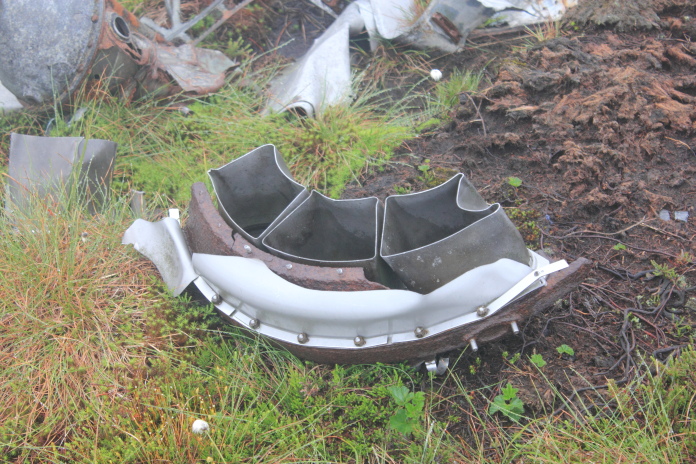
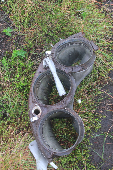
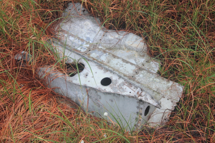
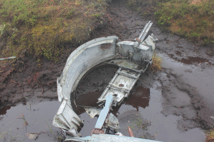
I had seen some reports on the interweb that the large lump of wing and some of the large pieces of jet engine had been stolen from the site but these were still there, exactly where they were when I visited back in the 1990's, the harness and quick release buckle that I photographed back then* had indeed been stolen or should I say "recovered"!
The other pieces in the area where the harness used to be had been collected together in a pile.
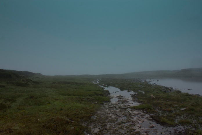
From the Meteor it was another mile to the south east to reach crashsite number two on my itinerary which was Hawker Hurricane V7534. Again I had to follow the compass because of the visibility but this time I would know if I'd gone to far as my feet would get very wet when I walked into Great Rundale Tarn.
Heading towards Great Rundale Tarn, although the grassy bits between the peat hags look like easy going, it was
actually large tussocks interspersed with pools of water.
Although the terrain from the Meteor site down to Great Rundale Tarn was not the easiest going I was at least walking the same way as the peat gullies which would have been nice if I could have walked along the grassy areas between the peat hags but the grass was concealing tussocks and pools of water so it was easier to transfer from the top of one peat hag to another.
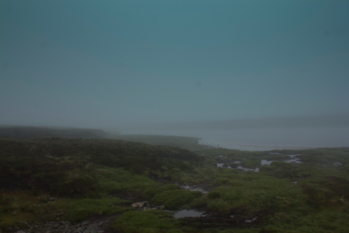
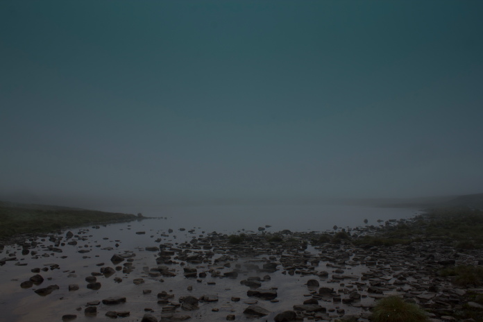
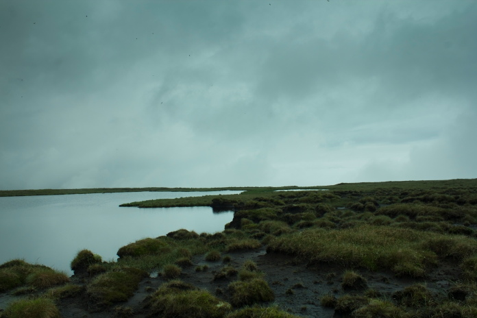
Great Rundale Tarn, at least some of it!
Because of my mobile phone playing silly buggers with my compass I almost managed to miss the quite large Tarn, but luckily I just clipped the eastern end of it, then was able to follow a rough quad track along it's shore to the area where the grid ref I had put the crashsite. Despite a good search around I managed to find nothing other than detritus from the Hunting/Fishing Lodge which had been built next to the Tarn.
Above and next 3 photos:-Searching around the area of my grid ref for V7534
The next leg of my walk was about a 2 mile stretch to the north east to look for the crashsite of Vickers Wellington T2715 on Dufton Fell, this was going to prove to be the most arduous part of my day despite there being hardly any contour lines involved.
Setting off for Dufton Fell, the track didn't go my way for long!
Last view of Great Rundale Tarn, at least
part of it anyways!
Could of done with a few more of these over the next two mile but unfortunately this was the last one I was able to utilise!
While the walk from the Meteor site to the Hurricane site was 'with the grain' so to speak, the stretch from the Hurricane across to the Wellington was 'across the grain'. So instead of being able to walk along the top of the peat hags I was having to constantly climb across them and this was made even more difficult by the fact most of the gullies between them contained spaggy moss which was also enforcing numerous diversions.
 Lovely smooth and flat grassy area resembling
someone's front lawn, walk across this and its Bye Bye!
Lovely smooth and flat grassy area resembling
someone's front lawn, walk across this and its Bye Bye!
Adding to the fact that the visibility was still poor the two mile across to Dufton Fell was pretty feature less and numerous diversions to avoid the light green stuff meant maintaining my track towards the Wellington crashsite was difficult. There was also nothing to aim off at and I was convinced I crossed twice as many steams as was marked on my map. Despite all this when I eventually arrived on Dufton fell I was only about 200 yards to the south of the crashsite, so I was really quite pleased with my navigating.
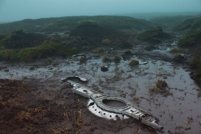
The Wellington crashsite on Dufton Fell(centre of photo).
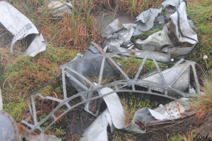
above and next 8 photos:-Pieces of Wellington T2715 on Dufton Fell, all of the interesting small pieces shown on other websites are no longer at this site(aka stolen?) but the pile of copper pipe is still there that had been suspiciously collected together allegedly ready for removal to the scrapman.

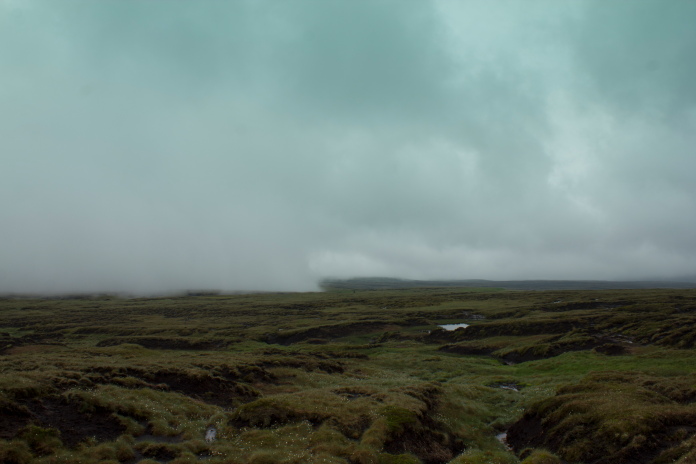
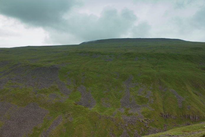
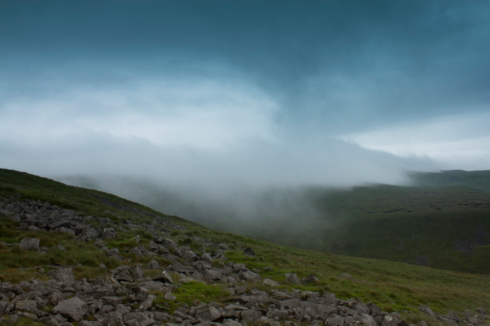
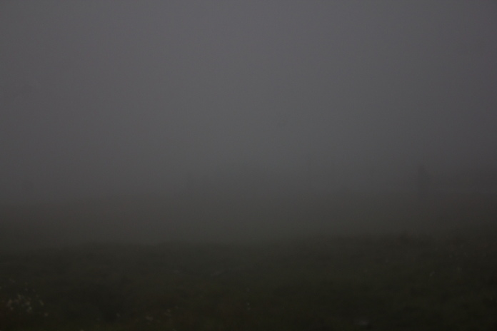
Any hopes that the terrain on my route back to Knock Old Man might be a bit better was quickly dispelled as I encountered more peat gullies and bogs and it would seem that large shake holes had taken over the diversion enforcement duties from the spaggy moss, but at least the visibility had improved enough so that I didn't have to be constantly checking my compass.
Looking back to the Wellington crashsite which is still covered by a cloud.
This stretch wasn't too bad!
This stretch was!
One of the many shake holes encountered.
Shakeholes are caused by acid rain seeping through the ground and
dissolving the limestone underneath, causing everything above to collapse
into the void.
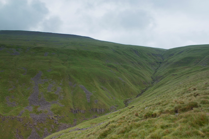
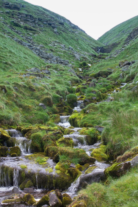
The terrain past this tarn was very boggy!
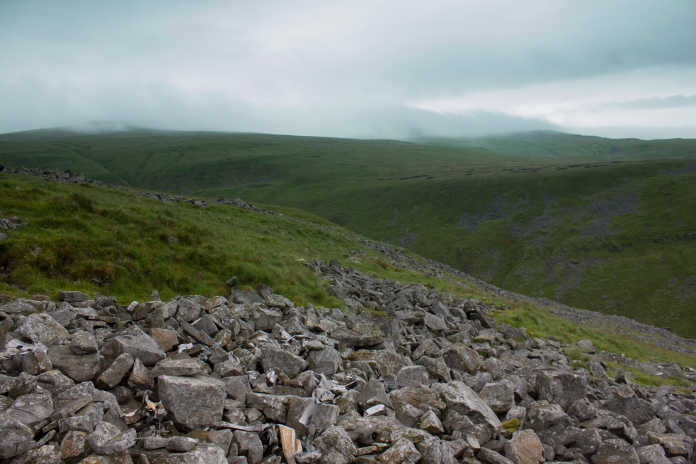
Once I was past an unnamed tarn on the eastern flank of Knock fell the going improved quite a bit, more so when I reached the Pennine way. It was now that my revised plan was going to pay dividends as I would soon be able to have a complete change of clothes, including some nice dry socks and a nice soft seat to have a sit down and enjoy some dinner in comfort before tackling part two of my walk.
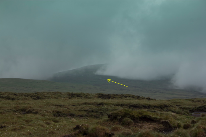
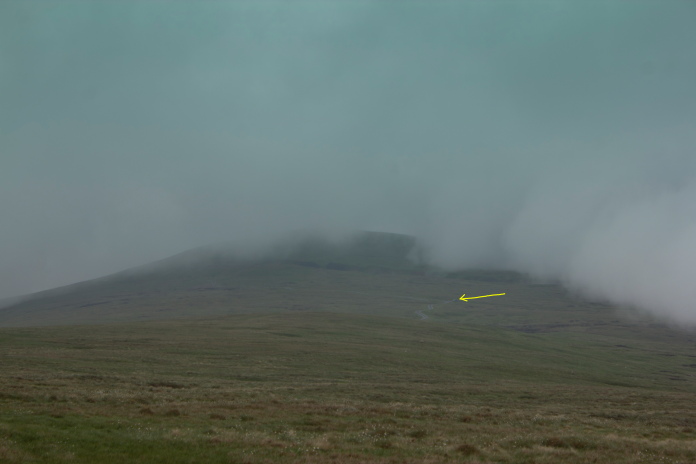
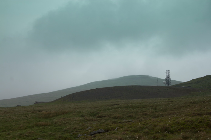
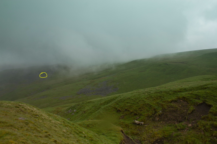
Above and below:-The yellow arrow is pointing at Blueberry Esmerelda Muffin II, just visible under the cloud on Great Dunn Fell.
Although the visibility had been poor thanks to spending all of the morning in a cloud, it hadn't actually rained, that is until I arrived back at the car. As I was sitting in the car munching contently on a ham sandwich and watching a cyclist struggle up the road, it began to rain. Not the drizzly type of rain but the large fat horizontal type. I felt a bit sorry for the cyclist as I watched him struggling against the wind to don his waterproof coat. I did not however feel sorry enough for him to ask if he wanted to shelter in my nice dry car until the rain stopped!
Setting off on part two of my days walking.
To reach the first of the crashsites on the northern leg of my route involved walking about a quarter of a mile back down the NATS access road, this was enough to get below the cloud that I had been walking around in up to now.
Down the NATS road and out of the cloud.
The fourth crashsite on my itinerary was Spitfire K9888 which crashed close to a track which runs along to the Silverband Mine. I had seen photos of this crashsite on the interweb and I knew the grid reference I had was correct so I was confident I would find this one easily enough, but with my past luck with finding Spitfire crashsites I should have known better.
Checkpoint Charlie at the start of the Silverband Mine track. The Ninja Sheep manning the checkpoint were highly trained in the martial art of TaiKwanscarper.
 The area where K9888 crashed, dead ahead.
 View from the mine track across to the NATS Access road .
Despite my optimism I failed to find any remains of the Spitfire at the Grid ref I had despite a thorough search around the area. When I returned home I emailed the person who had posted photos of pieces of the Spitfire on the interweb and he provided me with a more accurate 10 digit grid ref which I used to locate the exact location on google earth. On goggle earth I could clearly make out where I had searched and where the wreckage was located and just like the Spitfire on Bullhope Law** I had passed within feet of it but slightly downhill, so had failed to spot it.
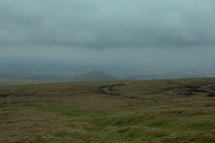
Photo I took of the area where I thought the pieces of Spitfire should be. They are actually about fifty feet behind me!
As with the Spitfire on Bullhope Law I will definitely find them on my
next visit.
Silverband Mine on the left with Little Dunn Fell off in the distance.
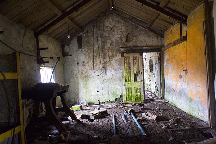
Next on my agenda was a quick nosey around the old mine, well the buildings anyway not the mineshafts, I had recently watched a Horror Film about a Scottish Clan of cannibals who were living in an old mineshaft so there was no way I was going near any of those.
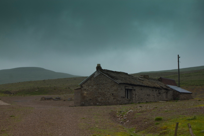
Above and below:-The offices of the Old Mine, these proved to be plenty creepy enough!
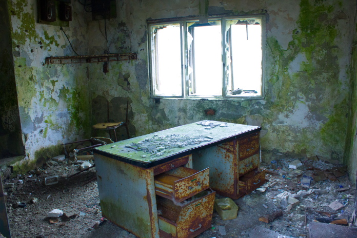
Anybody who watches Salvage Hunters will know that Drew Pritchard would probably pay £800 for that table
and there's a matching pair of chairs in the corner!
While peering through the door into this building a
Rabbit almost gave me a heart attack by leaping through the doorway on the right and darting down the hole just to the right of the strange table,
and thus my exploring of the old mine ended!
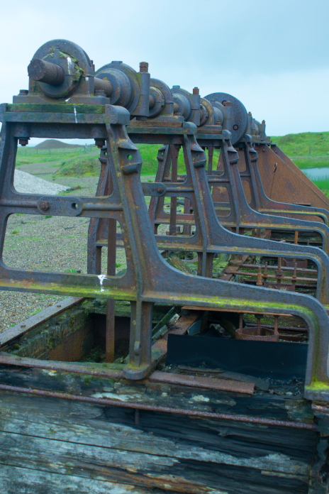
An old shaker, sort of like a giant vibrating seive.
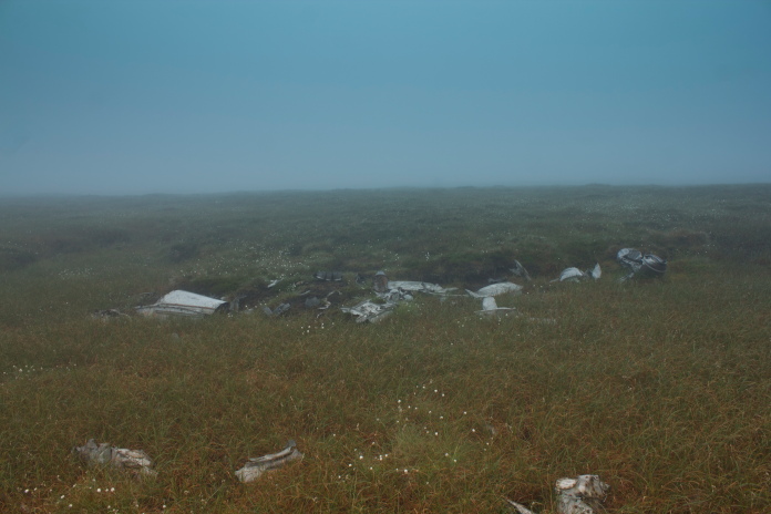
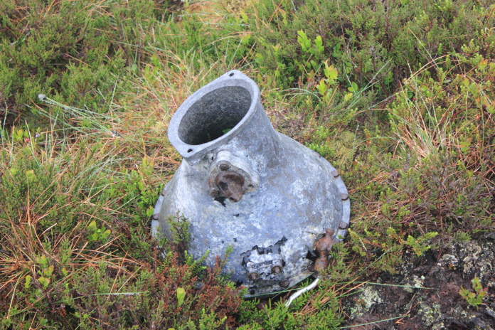
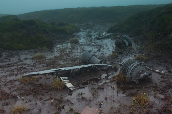
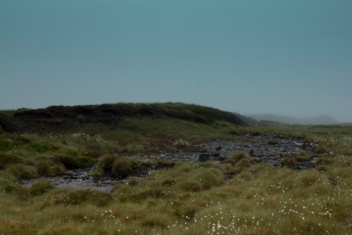
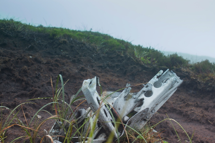
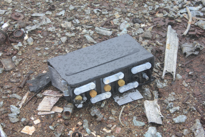
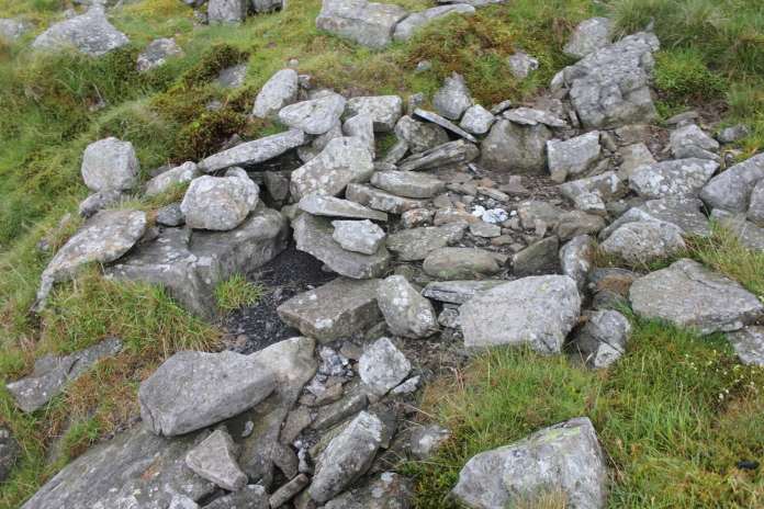
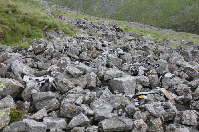
Crashsite number 5, Halifax BB310 on Middle Tongue.
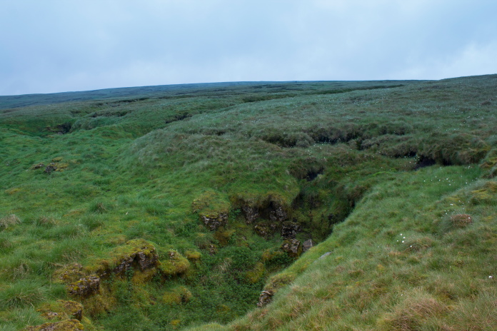
To reach crashsite number five I had to cross a deep ravine, I could go uphill and cross it at a shallower point but after having a look, going directly over didn't look to daunting and indeed it wasn't. My grid ref was a little out but after having a quick shufty around the numerous boulder fields I spotted the memorial plaque that is fixed to a large boulder at the site.
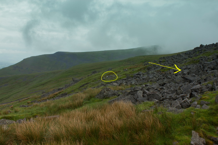
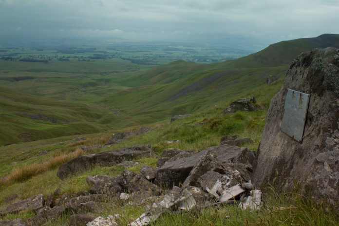
The yellow circle highlights the location of the plaque, the arrow points to the large crater in the boulder field where the Halifax crashed.
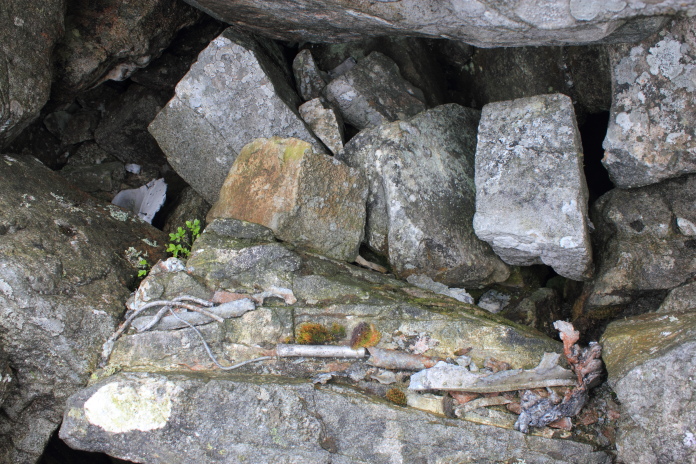
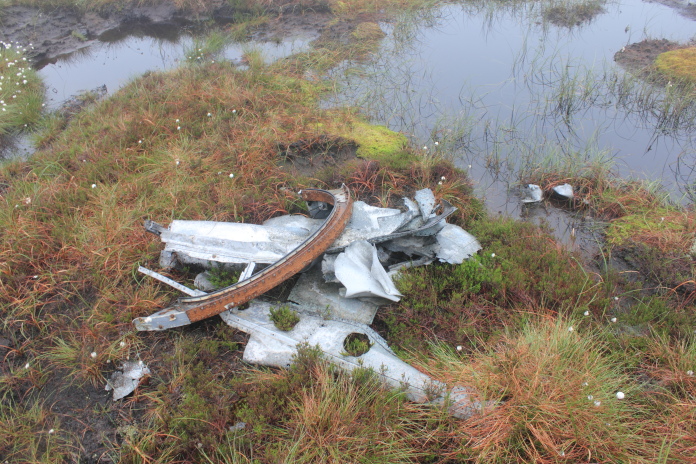
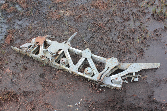
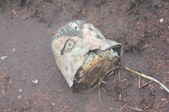
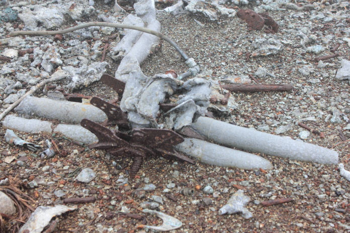
above and below:-Some pieces of Halifax BB310 lying in the large crater, there are lots of pieces scattered around in the rocks here but I only photographed a few as the boulders were wet and very slippy and a broken ankle would have hindered my progress in reaching crashsite number 6.
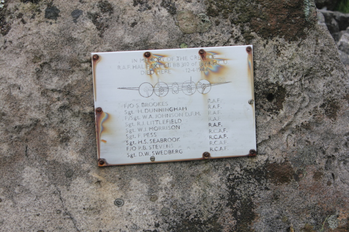
Although the plaque isn't rusting the rusty screws seemed to be causing some sort of degradation.
Some pieces of the Halifax have also been placed below the plaque by visitors.
Leaving the crashsite, the ravine I crossed to reach it looks more daunting from this side.
From crashsite number 5 to crashsite number 6 the obstacles were not peat hags, shakeholes and spaggy moss but boulder fields, not usually a problem but today they were wet and slippy so I made the odd diversion to stick to the grass and had to be very careful when I had no choice but to cross the rocks. To reach the next crashsite which was Lockheed Hudson N7325 I had to negotiate another ravine, only this one did necessitate a diversion uphill to where it was shallower.
Above and below:-Approaching Wildboar Scar,
if I'd took a direct route over to this one I would have ended up doing a spot of
base-jumping but without a parachute!
I had to divert uphill and crossed 3/4's of the way up just before the steep bit on the right.
The crashsite was at the top end and just to the left of the large area of rocks
above the centre of the photo.
Crossing the Wildboar burn
 Approaching the crashsite on the right side of the ravine.
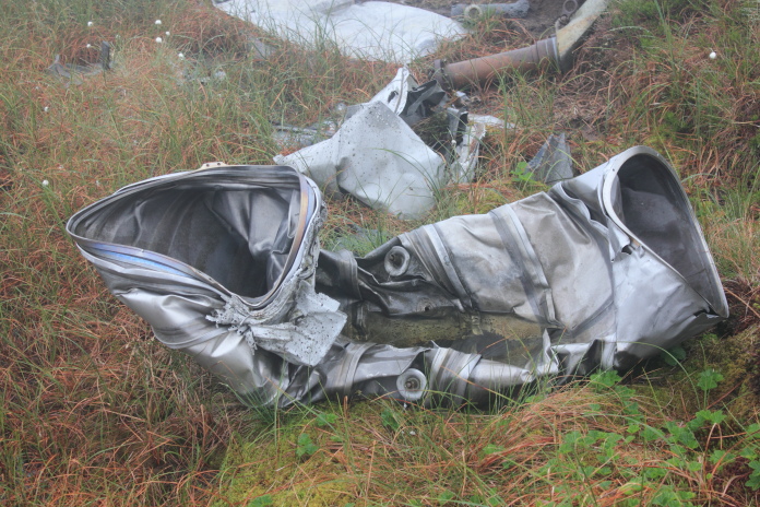
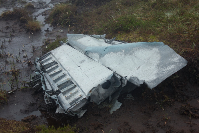
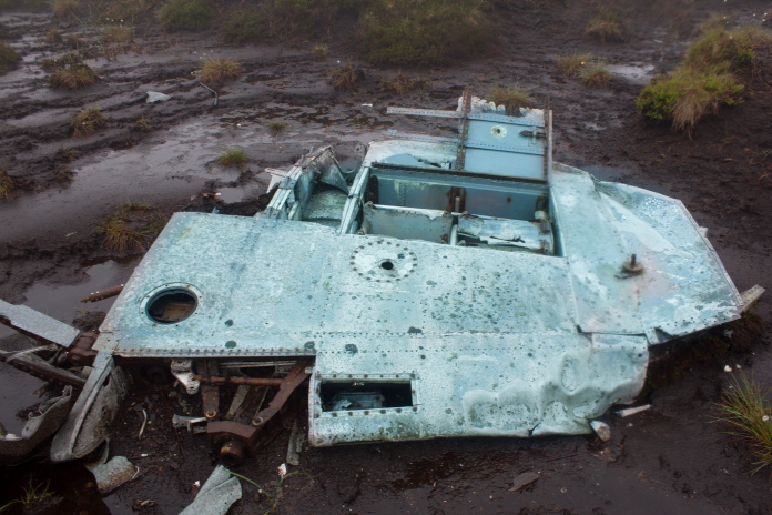
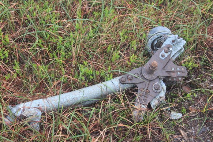
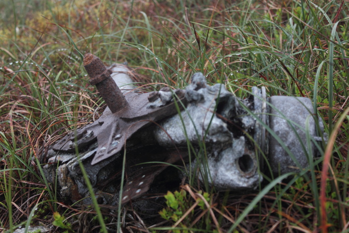
This one was pretty much where it should be which was just as well because it was hard to spot in amongst all the boulders, there was a few pieces of the Hudson scattered in the rocks and a small area that showed signs of a fire.
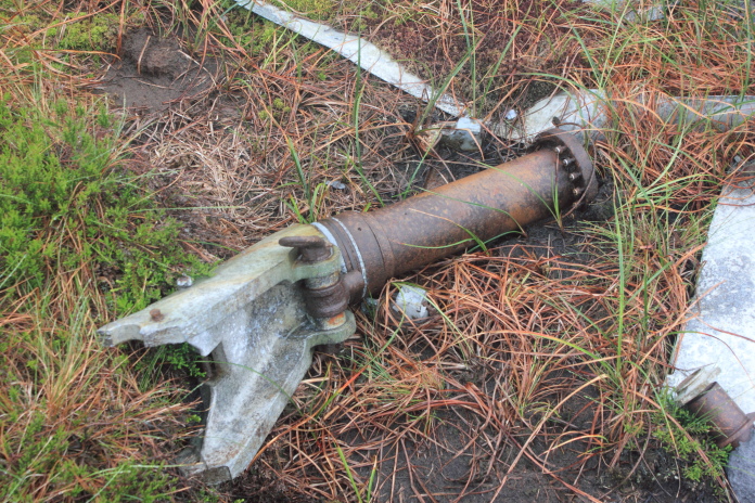
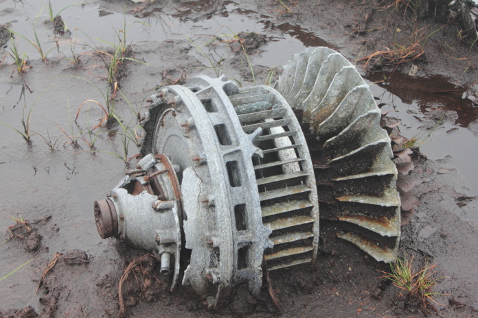
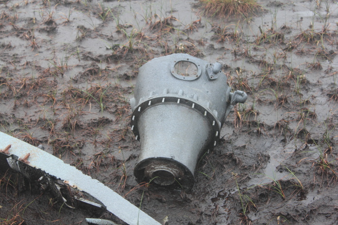
above and next 5 photos:-Wreckage of N7325 scattered amongst the boulders.

View back over Middle Tongue to the Silverband Mine on Great Dunn Fell.
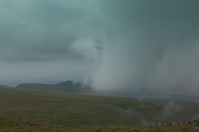
After taking some photos at N7325's crashsite I had to head uphill towards crashsite number 7 which was near enough on the summit of Cross Fell, heading uphill also meant going back up into the cloud.
Little Dunn Fell covered in its own cloud.
Shakeholes on the side of Cross Fell.
Entering the cloud again.
Back into the cloud the visibility was even worse than earlier not helped by the fact time was getting on and the light was starting to deteriorate. I wasn't having to constantly check my compass as I had the ravine on my right the path up from Blencarn on my left and the Pennine Way running from left to right across the top of both of them so I just walked parallel to the ravine until I intersected the Pennine Way which was unmistakable being as its nicely paved with large slabs or rock.
Almost at the Pennine Way, I had by this
point come to the conclusion that my good luck with the Scottish weather
didn't work very well in England!
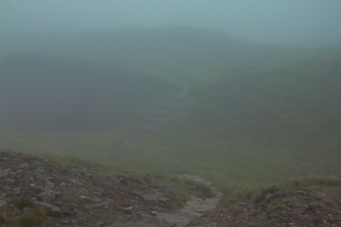
Some of the paving slabs on the Pennine way were grippy and some were slippy, unfortunately it was hard to tell
which it was going to be until you stood on them and slipped.
When I reached the Pennine Way the visibility was down to about 'not very far at all' and it had begun to rain, so I decided to leave crashsite number 7 and 8 for another time as I didn't fancy my chances of finding them in the diminishing light which was fast becoming gloomy. As well as the lighting issue I knew both sites were in amongst boulders and it was now raining.
View up towards crashsite number 7 on Cross Fell.
Decision made, all I now had to do was follow the Pennine Way back to the car and play the 'is it slippy or is it grippy game' which actually proved to be quite entertaining for a while until slippy started winning and it became tiresome!
The summit of Little Dunn Fell.
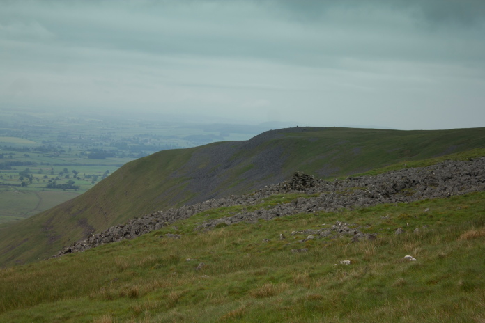
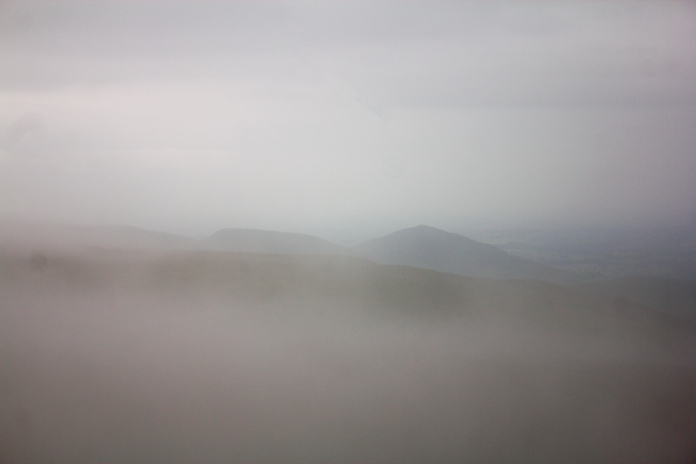
Fantastic views over to Cumbria from Little Dunn Fell.
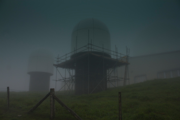
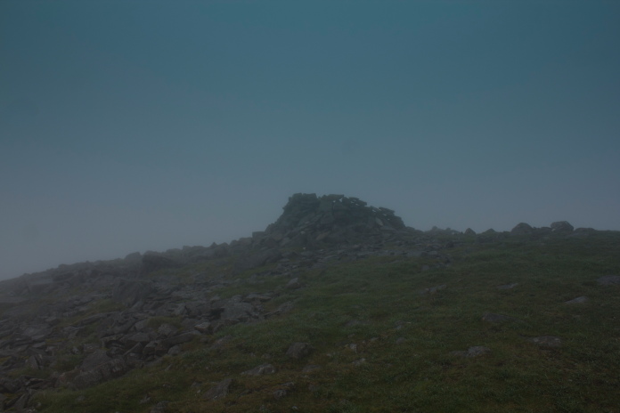
The Radar Station on Great Dunn Fell, the large Golfball is obscured in the mist.
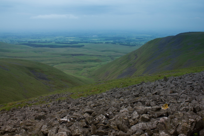
More fantastic views to the south from Great Dunn Fell
Luckily grippy came out on top on these steps.
Scary bit, the drop on the left could have been 80 feet or 8000 feet as the bottom was lost in the mist.
Above and below:-A welcome sight looming out of the gloom, by this time it was for want of a better word absolutely pissing down. But at least it kept the midges away.
Click this link for more information about the crash
peakdistrictaircrashes.co.uk/pages/pennines/Hudson