
The Climb
Cessna F152 G-BHDR on The Law
(Distance covered = 5.5mile/Ascent +
823m)
Heather's competition was at Grangemouth which is only about 10 mile from the Ochil Hills. The venue was Grangemouth Town hall, just along the road from the Spitfire Memorial.
I have incomplete grid references for a number of Spitfires that crashed in the Ochils, so I decided to go and look for one of those that is reported to be on Maddie Moss. I decided I would walk up to Maddie Moss from Tillicoultry as I hadn't been that way before and it looked an easier route than approaching from Castle Cambell.
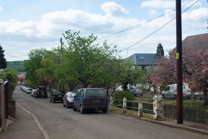 Parked beside the burn on Upper Mill Street
As I didn't have an exact location for the Spitfire crash I didn't hold much hope in finding it, but at least it gave me something to aim for. While researching on the interweb for any other clues to its location I came across photos of a Cessna that crashed in roughly the same area in 2006, so I figured I could check that location out as well on the way to Maddie Moss.
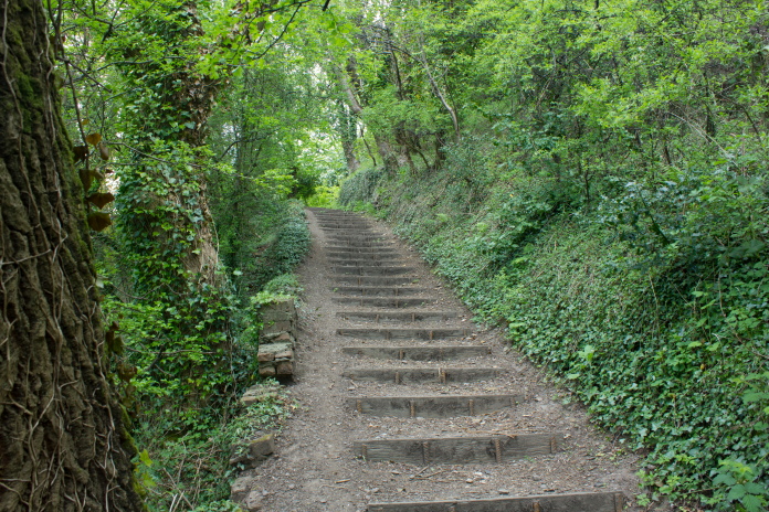
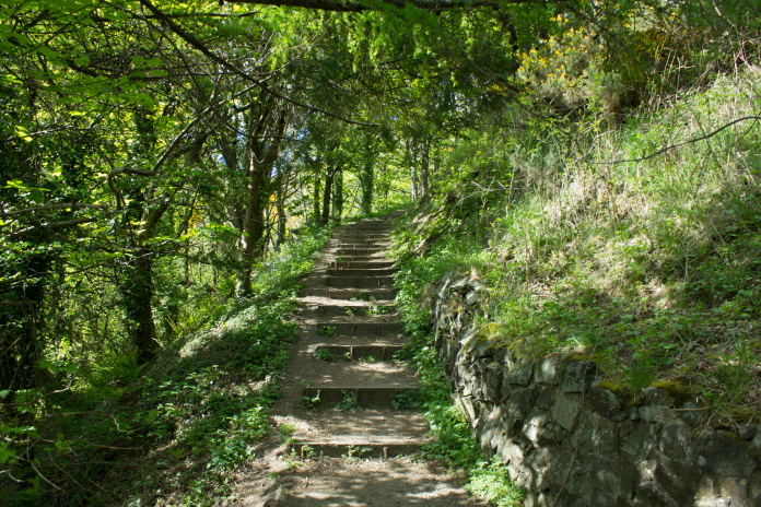
above and below:-Steep steps onto the hill from the top of Upper Mill Street.
Once at the top of the steep flight of steps that are encountered right at the start of the walk there is an equally steep path that zigzags its way up past the quarry, then splits in two: one branch heading off to the ravine at the base of The Law and the other branch heading off up towards Kings Seat Hill.
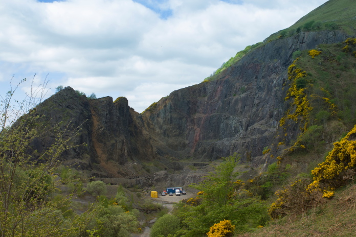
Although supposedly no longer in use
something was going on in the old Quartz-Dolerite/Andesite Mine above
Tillicoultry.

Above and below:-Path towards The Law
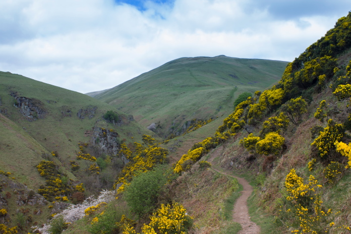
At the top of the zigzags there was a bit of a respite as the path contoured around a very steep slope then dropped down into a ravine. Once over the bridge at the bottom of the ravine the respite was over, as from this point it was a very steep slog all the way up to the summit of The Law; starting off with a near vertical section which involved a bit of rock scrambling the climb was brutal all the way to the top!.
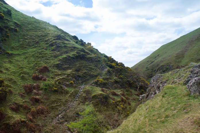
The path dropping down into the ravine.
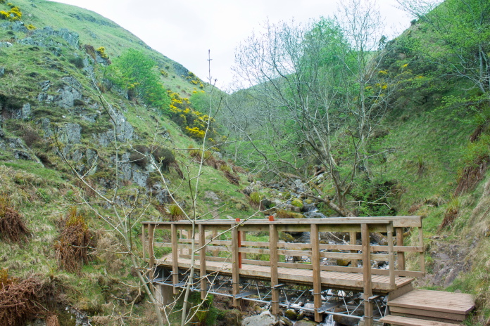
Small bridge over the burn at the bottom of the ravine.
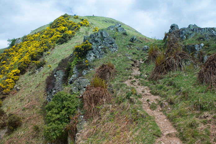
Very steep bit at the base of The Law.
Stopping to take photos is always a good excuse for a breather.
I was quite chuffed with myself on the ascent of The Law as although I was plodding along at a very modest pace I was still overtaking everyone and although there was a couple of people who passed me, I caught them up further up the hill while they were sitting on rocks waiting for the lactic acid to drain from their legs. There's an annual running race up this hill every year called the 'Maddie Moss Mash'; I don't think I will ever be entering that
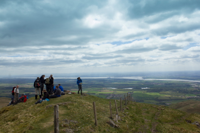
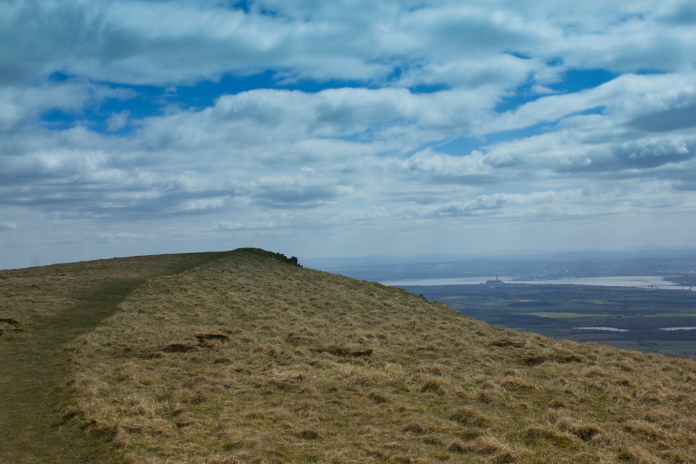
Crowded summit of The Law, most people were on their way to Ben Cleuch.
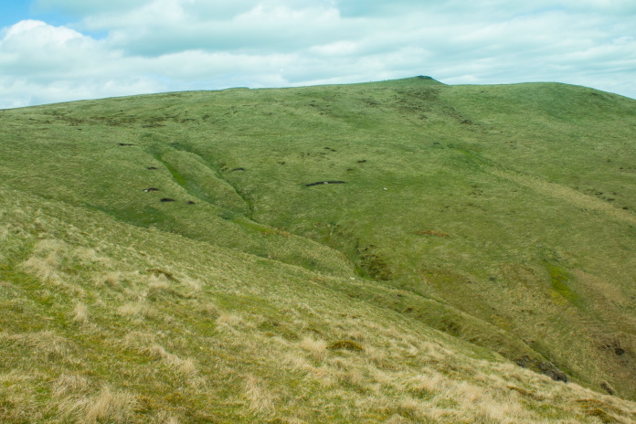
Immediatley past the summit I left the steady stream of walkers heading for Ben Cleuch and went 'off piste' towards the gully where the Cessna crashed. Being a modern day crash I knew it would have been thouroughly cleared and as it was more or less intact there would probably be no small pieces hidden in the grass either, so I set my target at acquiring some 'then and now' photos.
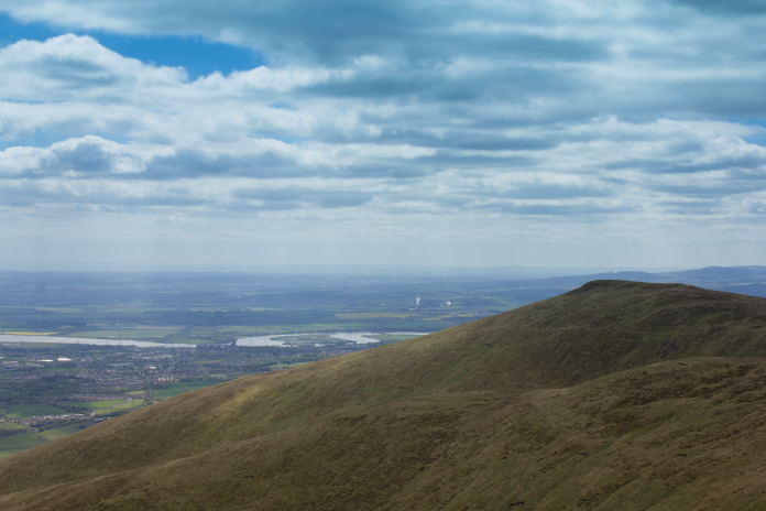
Heading towards the gully where the Cessna crashed, the hill in the background is Andrew Gannel Hill.
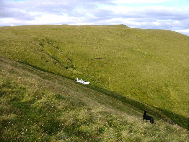
Above:-Photo of the Cessna taken in 2006. The dog is called Midge.
Below:-My comparison photo taken in 2016,
didn't have a dog with me to make it more accurate.
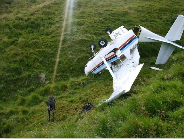
above:-According to the AAIB report the Cessna was heavily vandalised
before it could be recovered.
below:-Same spot in 2016
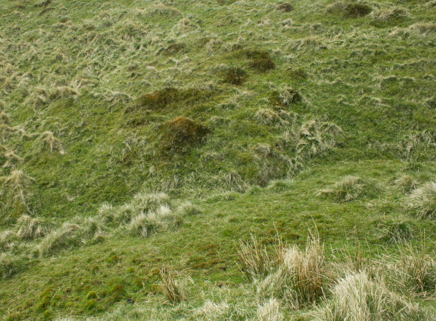

Above and below:-Although there's no doubt I found the exact spot I still can't count this on my list because my own rules state I must find a piece of the Aircraft or a memorial at the site!
It wasn't far from the gully over to Andrew Gannel Hill where I found a nice comfortable looking rock on the summit to sit on to eat my bait. It made a change being on a hill that was called Andrew instead of the usual Ben! The origins of the name of this hill is disputed and in an early Atlas it is called Andragannet Hill but one theory is it was named after someone who lost their life on the hill when they were caught in a storm although I have been unable to find out what the persons name was!*
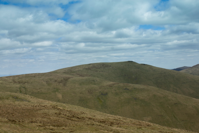
Approaching the summit of Andrew Gannel Hill.
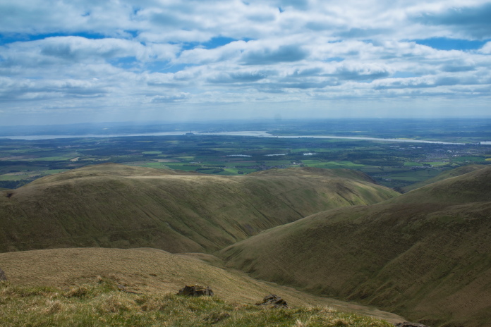
View across to The Law summit from Andrew Gannel Hill summit.
The path for my return route can be seen running along the side of the slope on the other side of the glen.
As Heather's section in the competition didn't start until the afternoon it had been quite a late start for me as well and as I had to be back by 5:30pm, by the time I'd reached the top of Andrew Gannel Hill there wasn't much time left to search for the Spitfire on Maddie Moss. As there was a good view from the top of the hill I was on I made do with having a good search around with the binoculors.
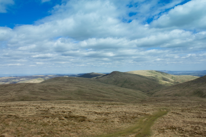
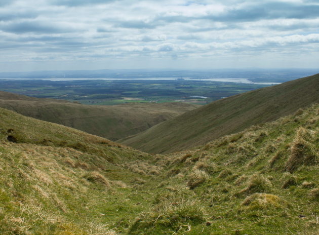
Maddie Moss with Tarmangie Hill in the distance, a B-24 crashed on there but I don't have a grid ref for that one either!
I've never met with much success when using the 'search with the binoculors' method and today was going to be no exception but as we are up this area nearly every month and as there arn't that many known crashsites I havn't already visited I was happy to leave this one for another day.
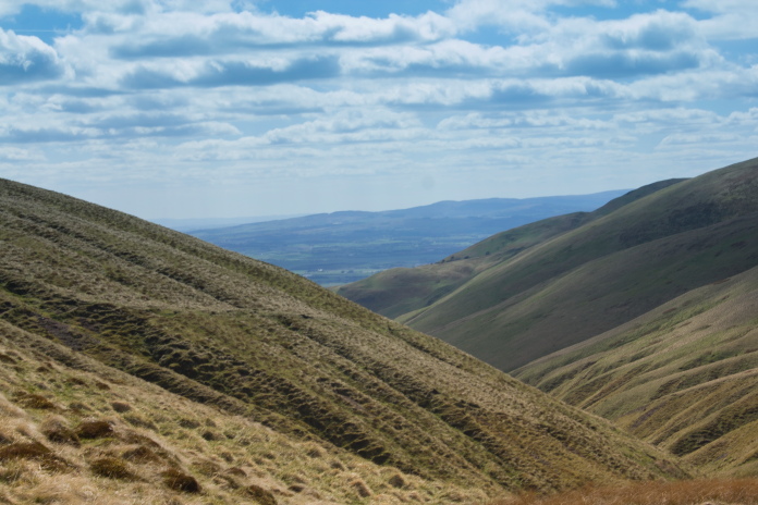
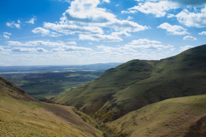
Andrew Gannel Hill to the left, Kings Seat
Hill to the right and Maddie Moss between them in the distance.
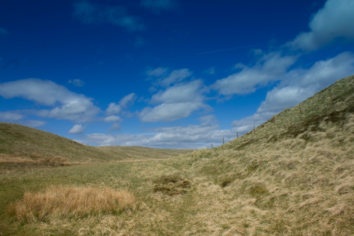
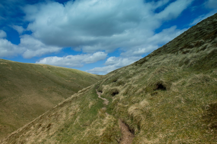
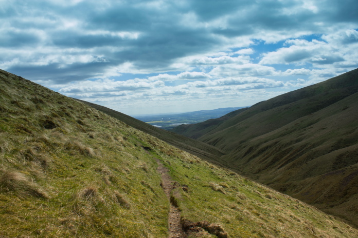
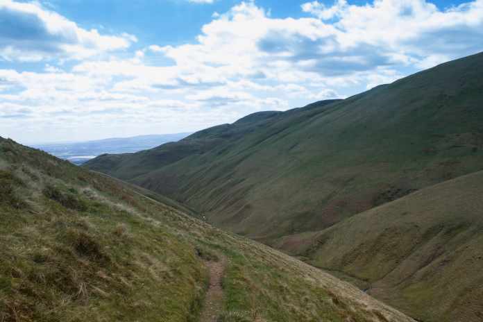
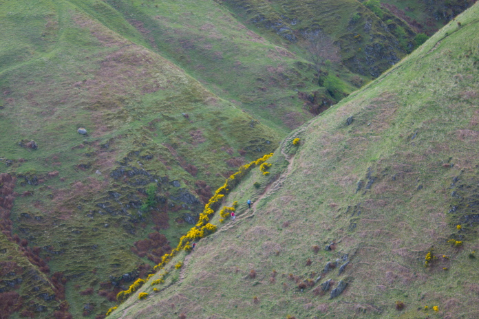
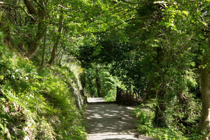
above and next 3 photos:-Path running along the side of Kings Seat Hill back down to Tillicoultry.
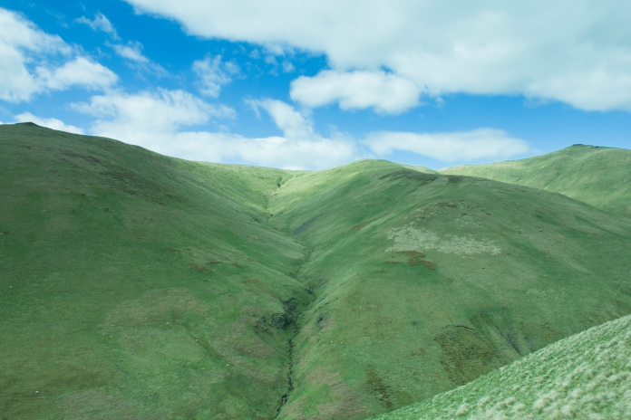
View across to The Law on the left and Andrew Gannel Hill on the right, the Cessna crashed at the top of the gully running up the centre.
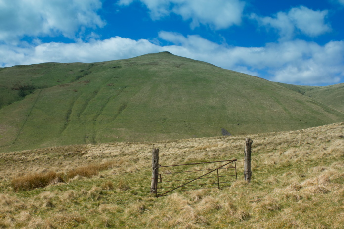 Luckily
I didn't have to climb over the gate as it wasn't locked!
Luckily
I didn't have to climb over the gate as it wasn't locked!
 A nice level stretch before the steep drop down to Tillicoultry.
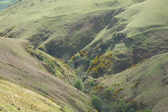
above and below:-The ravine and initial steep climb at the base of The Law.
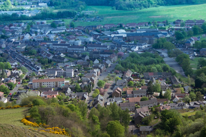
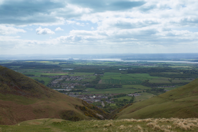
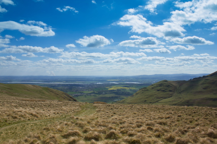
Tillicoultry from the zigzag section of path.
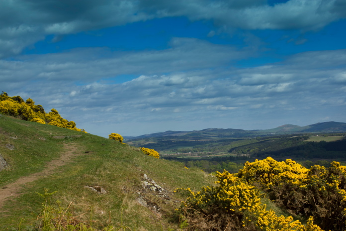
View east from the zigzags
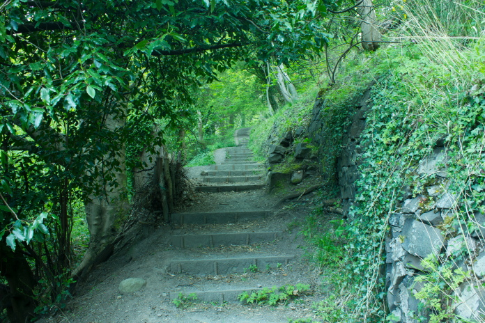
Above and below:-Back down the steps in a different light!
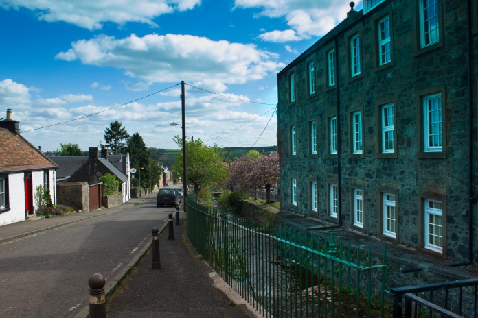
Upper Mill Street, I would hazard a guess the building on the right is the old Mill.
*---In case you don't get my sense of humour, the persons name was Andrew Gannel
2006 photos © Copyright John Chroston and licensed for reuse under this Creative Commons Licence