Hot and Cold
Avro Anson
AX145 on Frozen Fell ,
Vickers Wellington T2714 on Burn Tod
and
Hawker
Hurricane AF959 on Great Calva.
(Distance covered = 7.2
miles/Ascent = 688 metres)
Of these three crashsites on the fells north of Keswick I knew there would be nothing to find at two of them and very little at the third, but it looked like it might be a very enjoyable walk and I liked the sound of an area called "Trusmadoor"
Although it was highly likely I wouldn't find anything at two of the sites, there was always the possibility that I might get lucky and stumble across something. Two Aviation Historians, Richard Allenby and Ade Harris have located pieces at both sites in the past and there are photographs on their website(www.Yorkshire-Aircraft.co.uk) that I could reference to confirm that I was at the right location and allow me to add them to my "probables" list at least.
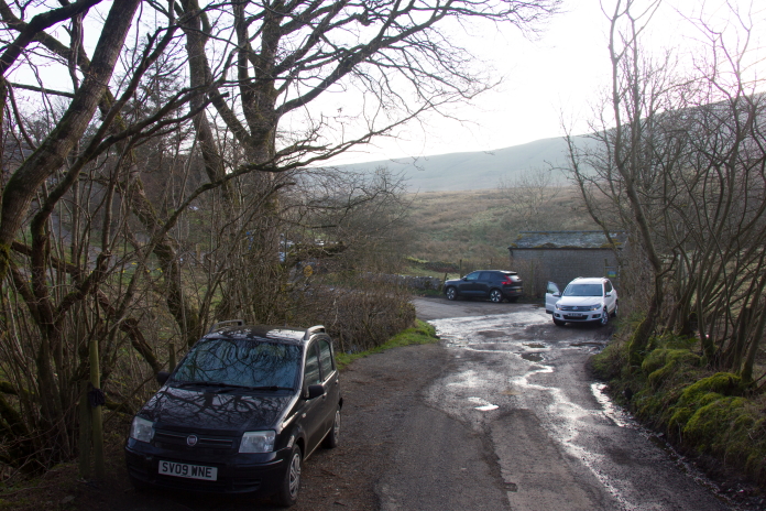
Limited parking at Longlands, where I was
starting my walk.
I'd set off really early again on this day as I knew there was very limited parking where I wanted to start my walk from. Because it was quite early in the year and quite early in the morning it was pretty nippy when I set off; after a couple of hundred metres I had to stop and deploy my winter gloves, as my fingers had gone numb with the cold.
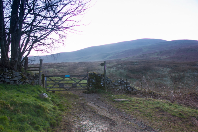
Above and below:-Rather cold start to the Day.
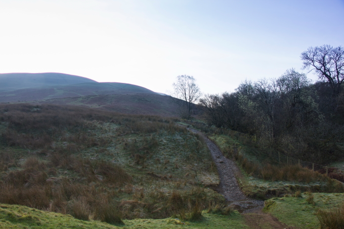
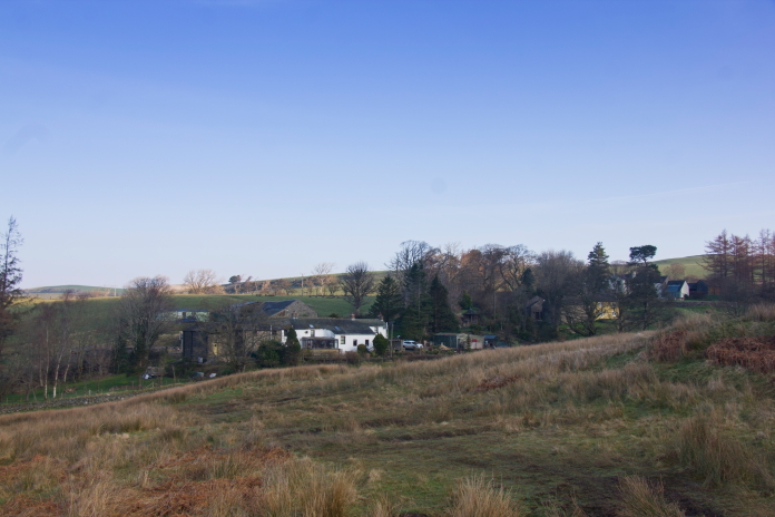
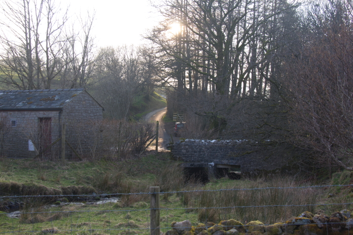
The tiny village of Longlands.
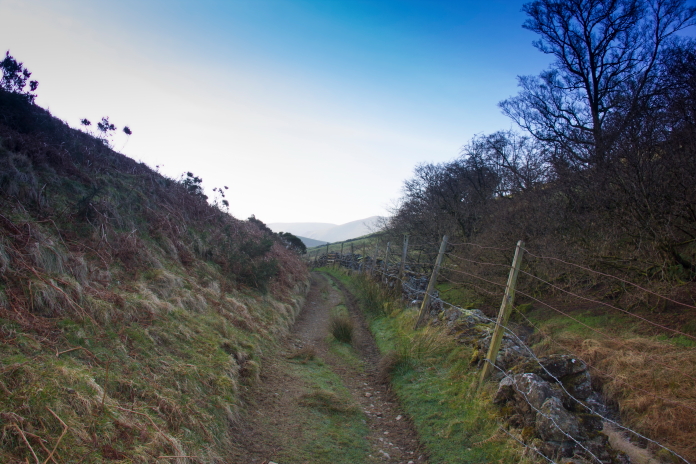
Above and below:-A very nice track to follow for the first couple of mile.
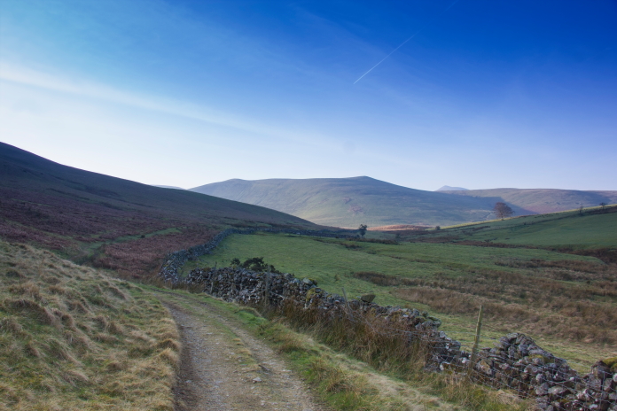
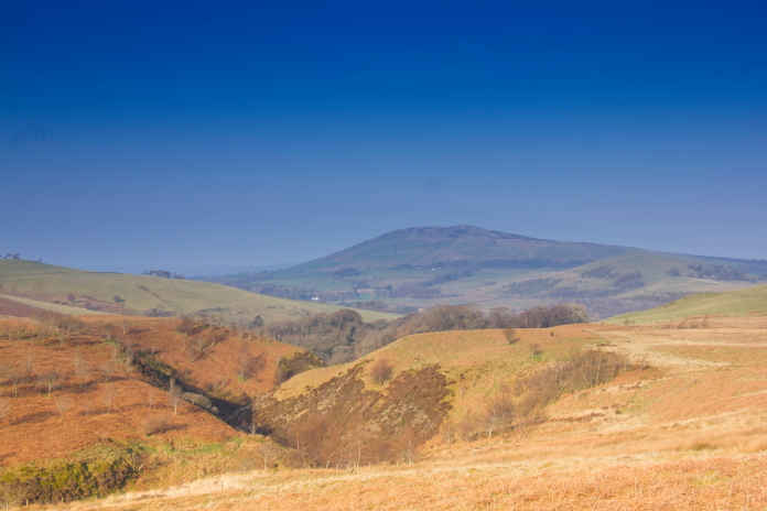
Nice early morning view over to a little
hill called Binsey.
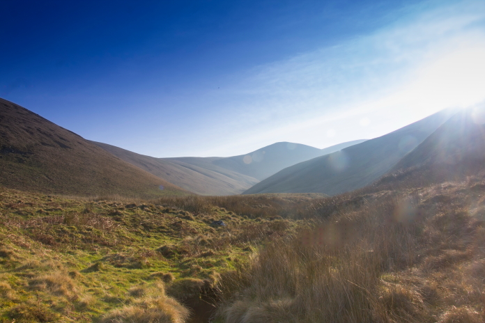
Another nice early morning view up to Great
Sca Fell.
One thing I'd noticed while looking at maps when I was planning my route was an area marked as "Trusmadoor", I found this quite an intriguing name, which for some reason made me think of the American Civil war film where Jimmy Stewart loses half his family while trying to save his youngest son from the war.
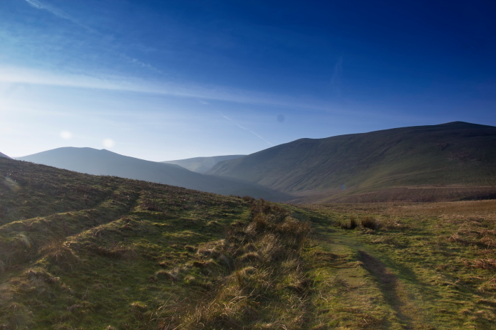
Above and below:-Trusmadoor is the nick in the Hillside just left of centre of the photo between Meall Fell on the left and Great Cockup on the right; Great Cockup for some reason made me think of another film, but we won't go into that.
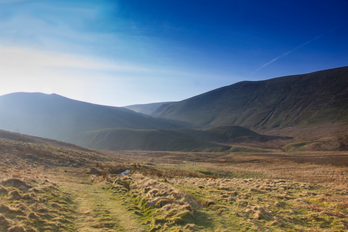
The name Trusmadoor
is actually a hybrid name built by different cultures over a 2000 year
period.
1- Trus: From Ancient Celtic, meaning "Doorway, gap or a pass in the mountains"
2- Ma: From Brittanic/Celtic, meaning "Place". So combined with the original Celtic meaning you have TrusMa or "The Pass Place"
3- Door: From Anglo-Saxon meaning "Door or Pass". This was added centuries later by the Anglo Saxons who , not realising that "Trusma" already translated as "Mountain Pass Place" added their word for "Pass" so you end up with "Trusmadoor" which actually translates as "Mountain Pass Place Pass"
So the name Trusmadoor has nothing to do with the Civil war film starring Jimmy Stewart, which incidentally was called Shanandoah, but in my defence that name does has a similar cadence.
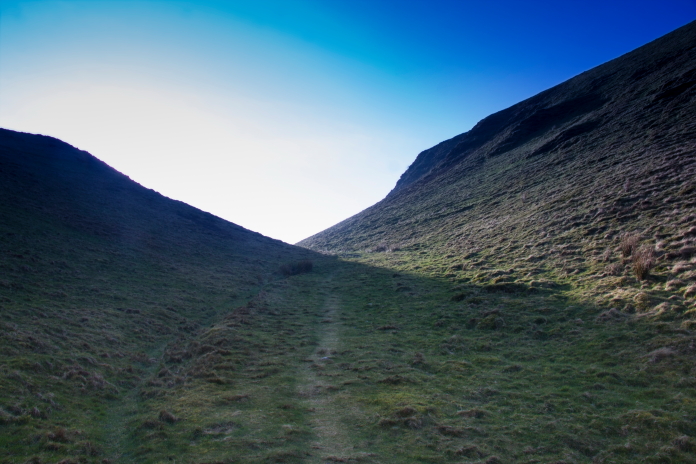
Above and next two photos:- Entering, walking through, and exiting Trusmadoor.
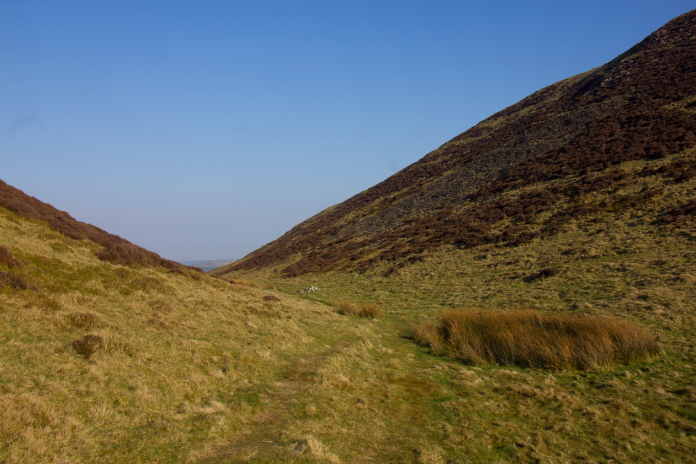
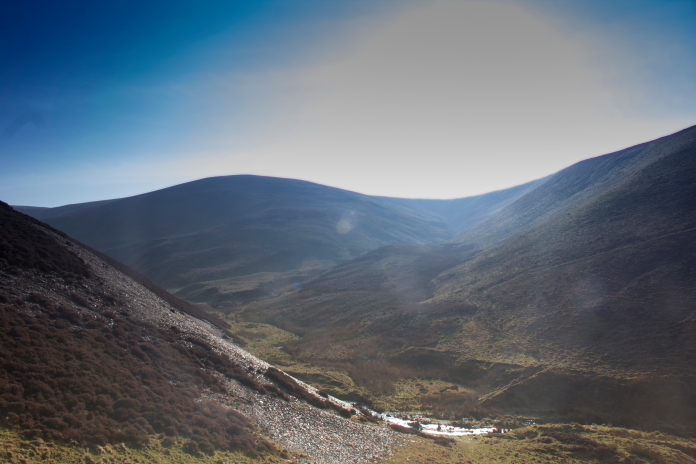
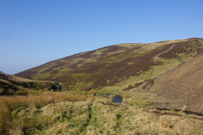
That hill there is called 'Great Cockup',
Trusmadoor to the right.
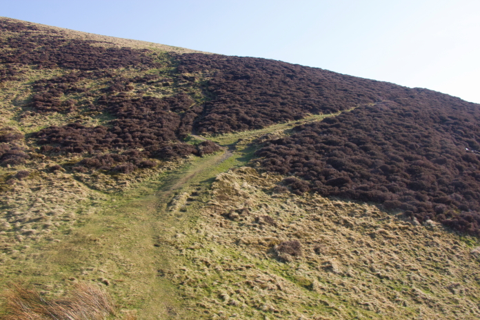
Once through Trusmadoor I had a choice of following a nice path east along the lower slopes of Meal Fell(above) or walking alongside the Beck in Frozenfell Gill(below). I opted for the latter and was pleased to find there was a nice little path running up there as well.
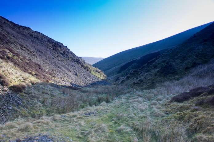
Above and next 4 photos:-Walking east up the Frozenfell Gill.
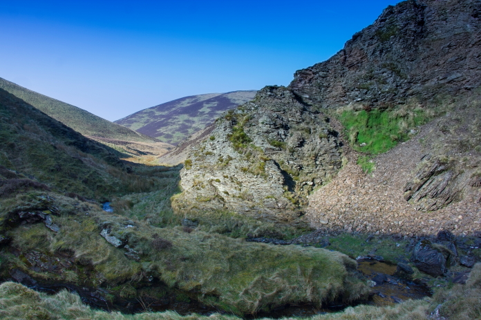
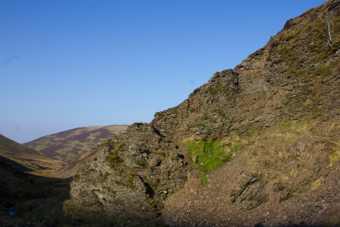
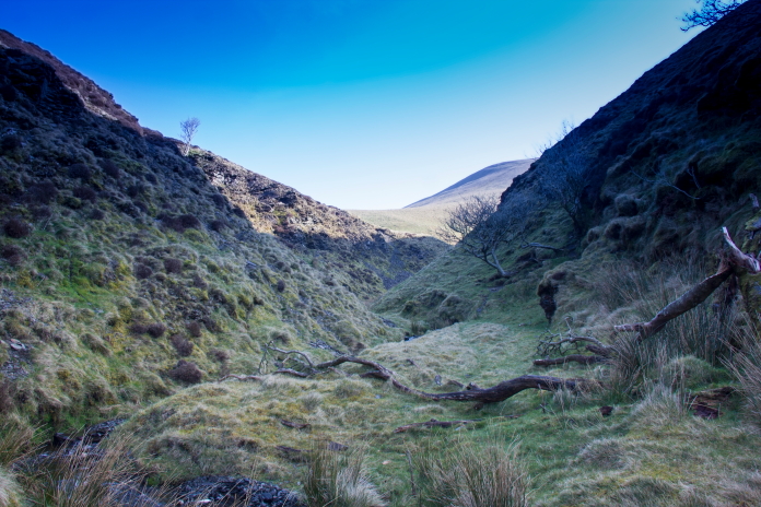
Above and below:-At first glance it looks like there's a woman walking up the gully as well, over to the right beyond the fallen tree.
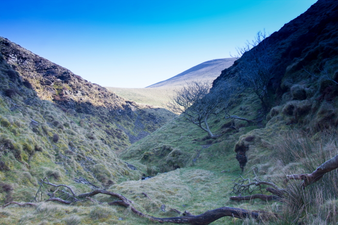
About half a mile up Frozenfell Gill I had to turn right and head off up a gully that ran south towards the summit of Frozenfell, knowing I was in the right gully was made easy by a prominent waterfall which cascaded over a vertical rockface about half the way up. The Anson was reported to have crashed near a smaller waterfall just above this one.
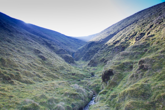

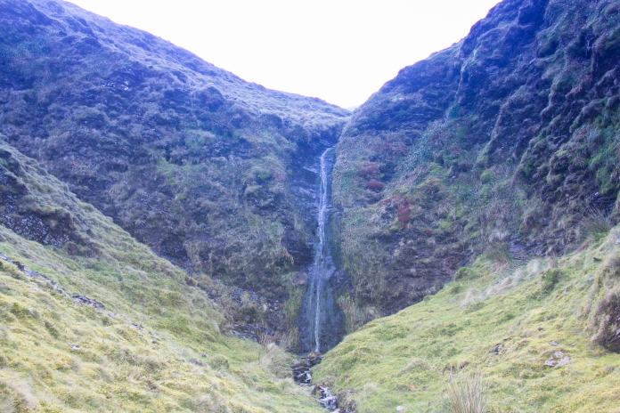
Whilst the waterfall may no have been as grandiose as it looked from a distance it still necessitated and bit of a diversion to get around it. This diversion forced me quite a way up the hill to the left so while I was up there I had a bit search around in case the Anson had crashed up there.
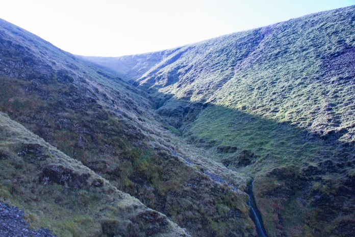
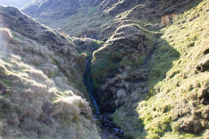
Diverting around the waterfall afforded me a good view of where Anson wreckage had been found in the past.
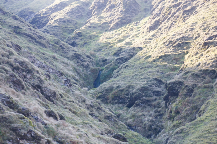
Above and below:- Despite a good search around the little waterfall where bits had previously been discovered and up the steep slope to the right I found absolutely zero bits of Anson.
 Crash details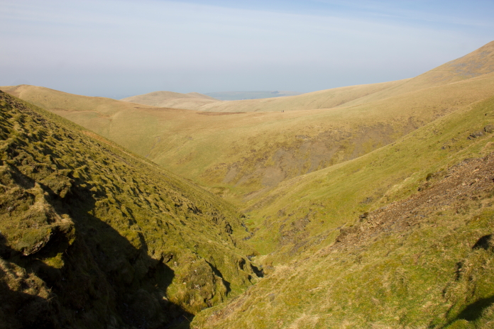
The view from where I sat to have some bait. I would score this quite high on my "Nice spots to have a picnic" list. The little beach beside Loch Neldricken in Glen Troll is still top of that list btw, the old mine building on Great Dunn Fell in the Pennines still being bottom.
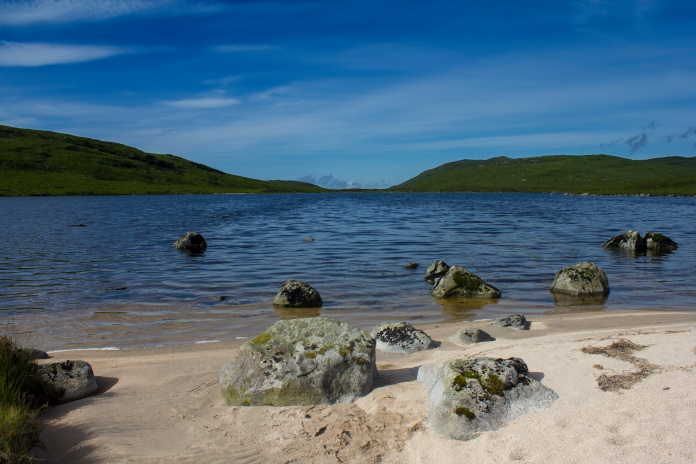
Above, Top of the list* and Below is bottom of the list**.

After spending quite a bit of time failing to find even the tiniest fragment of Anson I resigned myself to confining this one to my "probables" list and struck off around the hillside to look for remains of the Vickers Wellington on Burn Tod. The names of the Hills on this walk were actually mirroring the events of the day quite well as the day started of really cold when I was walking up to Frozen fell and now that I was walking around to Burn Tod the sun was out and it was becoming really warm. Because of this I decided to steer well clear of 'Great Cockup'

Contouring around Frozen Fell towards Burn Tod, Great Cockup is the Hill in the background; I have now made two quips about the name of that hill, so I won't mention it again.
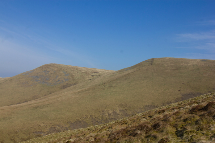
Little Sca Fell and Great Sca Fell.
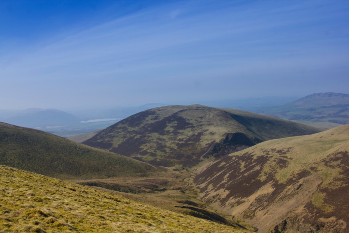
View down Frozenfell Gill with Meal Fell on the right and that Hill that I promised not to mention again, Trusmadoor is the nick on the right at the far end of Meal Fell.
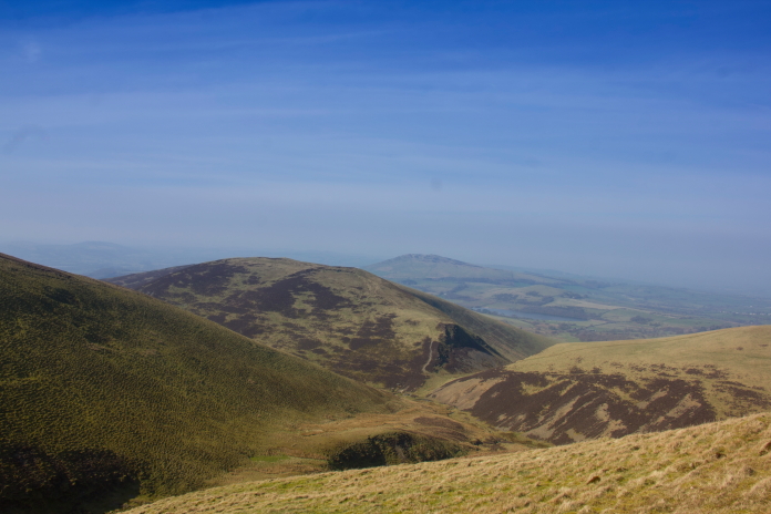
A better view of Trusmadoor from further around Frozen fell, Burn Tod can now be seen on the left.
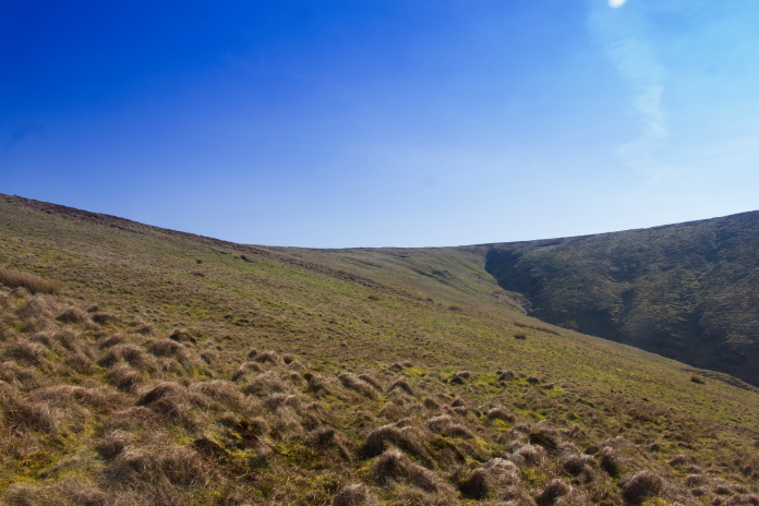
The Wellington site is near the top and to the left of the beck on the right side of this photo. Although it's listed as being on Burn Tod I would say it's more on a bit of like no-man's land between Burn Tod on the right and Frozen Fell to the left.
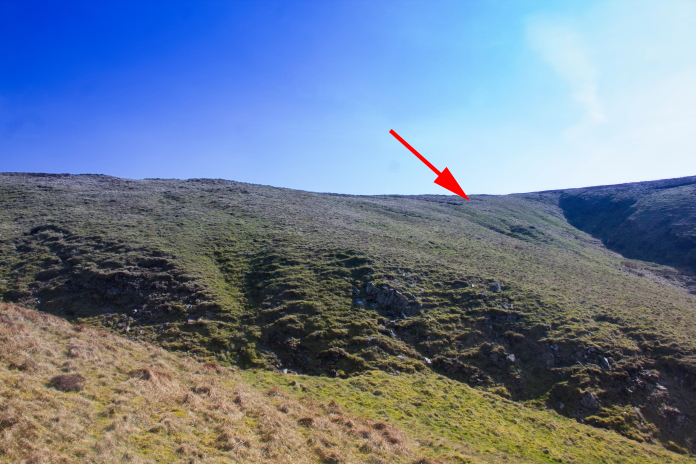
Almost at the Crash Site, the arrow is pointing to the scar that contains some fragments of the Wellington.
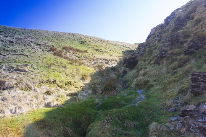 According
to my beep beep stick there was lots of wreckage buried in the area
where the darker coloured reeds are up ahead.
According
to my beep beep stick there was lots of wreckage buried in the area
where the darker coloured reeds are up ahead.

The small scar on the bottom right of the photo contains some small pieces of wreckage meaning I could at least add this one to my "Crashsites found" list. More Crashsite Photos.After photographing what was left at this crashsite I found a nice spot to sit down in the sunshine for a bit and have a drink and eat a rather nice looking apple that I fetched along. I placed the apple on the grass beside where I was sitting until I had a look at my map to help me decide whether or not to go over for a look at another crashsite that lay just over 1 km to the south of where I was.
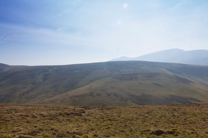
Above and below:-Heading over to Great Calva to check out the crashsite of Hawker Hurricane AF959.
 I knew from looking at a couple of other websites on the Tinterweb
that there was most probably nothing to see on Great Calva, but as
with the Anson on Frozen Fell I knew two Aviation Researchers had
found pieces in the past, and they had photographs on their website so
I could at least count it as another probable.
I knew from looking at a couple of other websites on the Tinterweb
that there was most probably nothing to see on Great Calva, but as
with the Anson on Frozen Fell I knew two Aviation Researchers had
found pieces in the past, and they had photographs on their website so
I could at least count it as another probable.
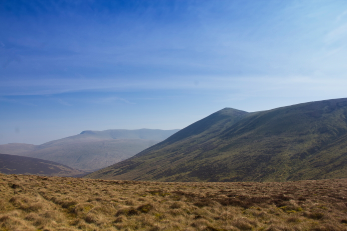
The summit of Great Calva taken from the saddle between Little calva and Burn Tod.
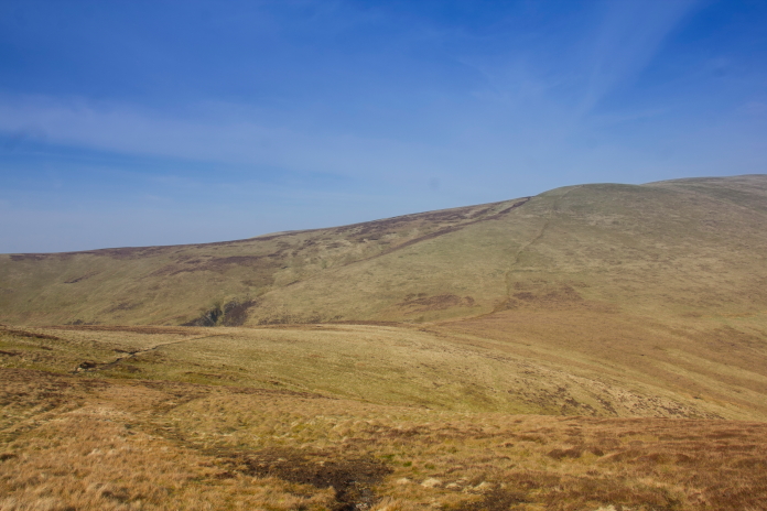
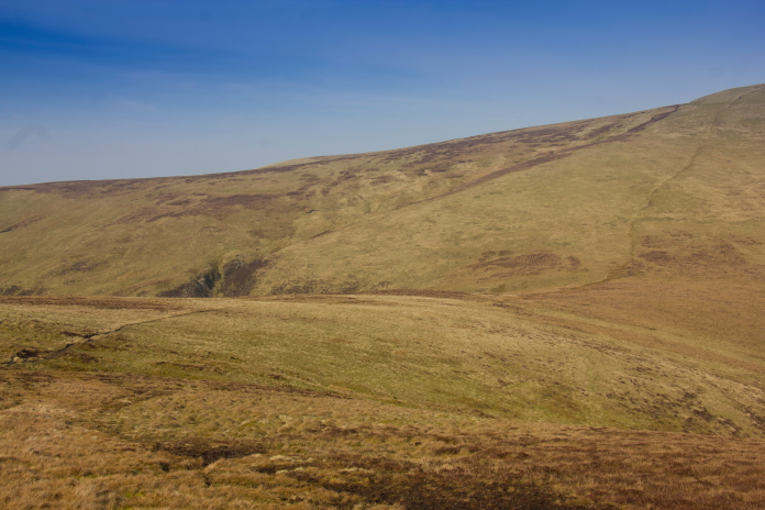
above and below:-The area where Hurricane AF959 crashed, I walked up the beck on the right in the hope of finding something in there to no avail.
 Crash Details
After finding zero trace of the Hurricane, as expected, I had to
decide which was the best way to get back to the car. After realising
I'd left my "nice looking" apple in the grass at the Wellington site I
decided to backtrack the way I'd came and recover the apple.
Crash Details
After finding zero trace of the Hurricane, as expected, I had to
decide which was the best way to get back to the car. After realising
I'd left my "nice looking" apple in the grass at the Wellington site I
decided to backtrack the way I'd came and recover the apple.
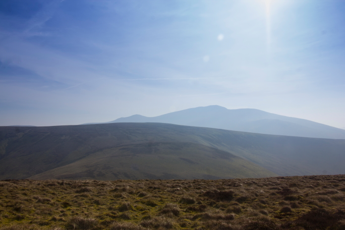
View south from Burn Tod over Little Calva to Skiddaw.

Back on Burn Tod.

Approaching the Wellington site from the other direction.

You've gotto admit it is a nice looking apple and well worth the extra mileage. I still had to decide on the best way back to the car but instead of choosing the easiest looking route I opted to walk down the gully containing an unnamed beck which flows down into Frozenfell Gill.
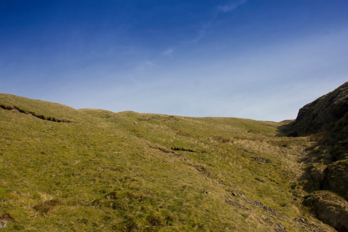
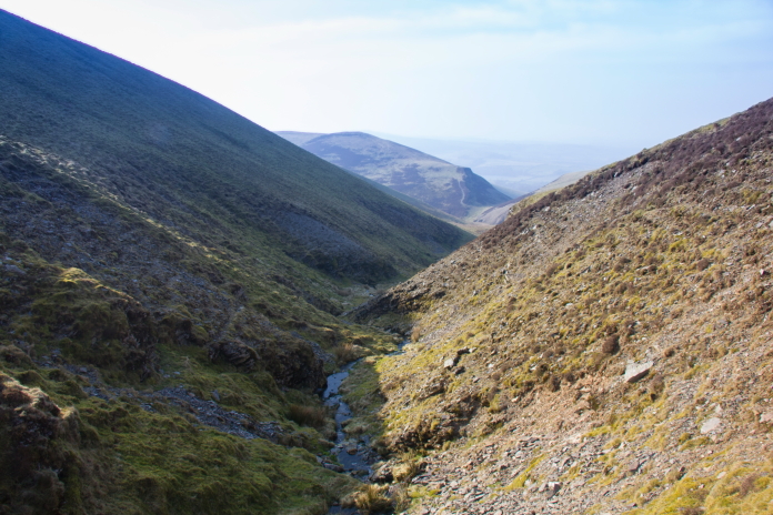
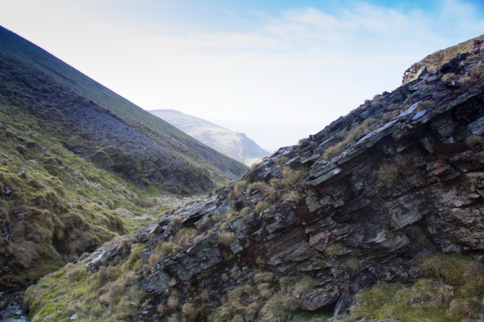
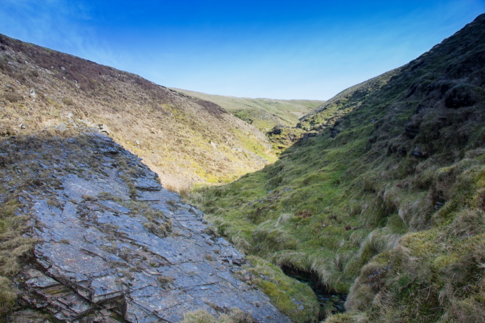
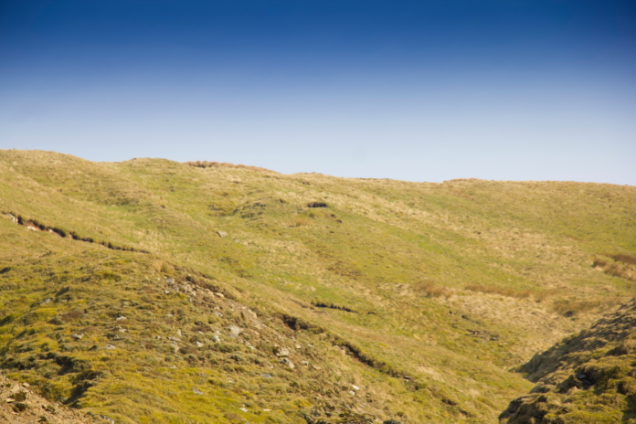
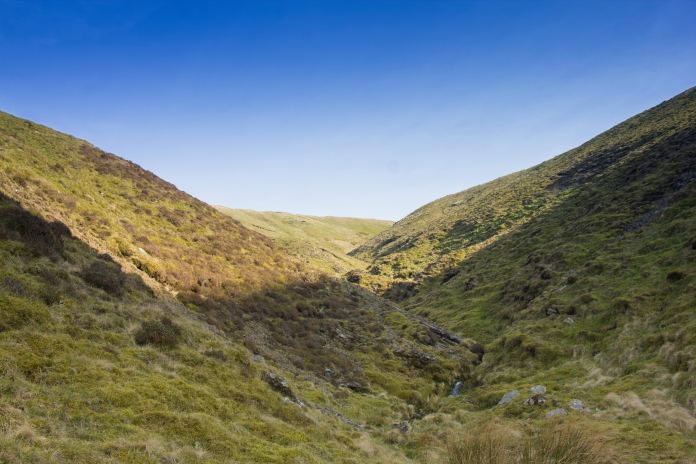
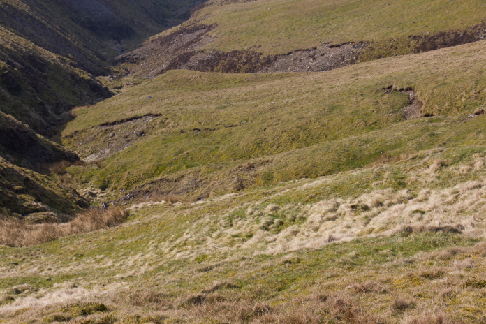 above and next 7 photos.:- I decided to
walk down the bottom of this, there was method in my madness however
as I could be on the lookout for bits of Wellington that may have been
swept down there by the beck or blown by high winds.
above and next 7 photos.:- I decided to
walk down the bottom of this, there was method in my madness however
as I could be on the lookout for bits of Wellington that may have been
swept down there by the beck or blown by high winds.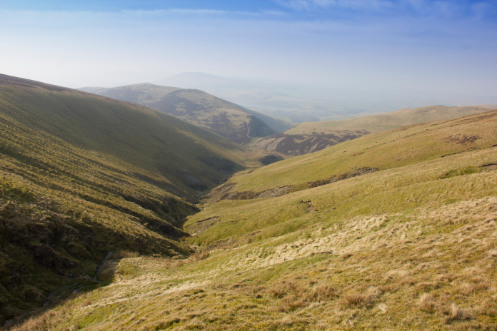
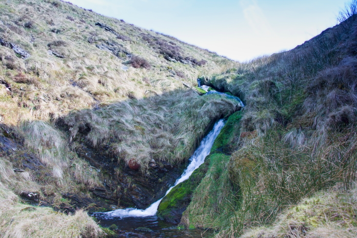 above and below:-Waterfall photo bagged
for the day, not the most impressive however.
above and below:-Waterfall photo bagged
for the day, not the most impressive however.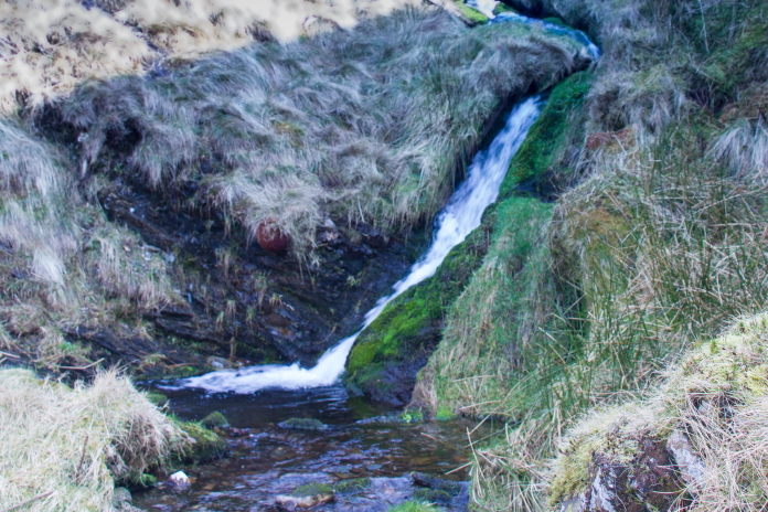
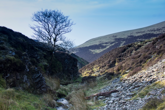 Above and below:-A knarly old tree at
the bottom of the Beck with no name gully.
Above and below:-A knarly old tree at
the bottom of the Beck with no name gully.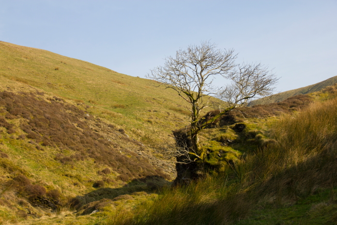
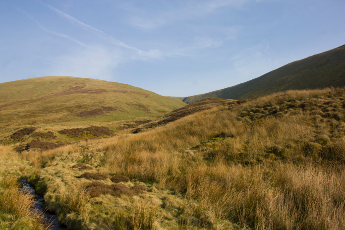
Above and nest 3 photos:-The Wellington crashsite is at the lowest point of the saddle between Frozen Fell on the left and Burn Tod on the right.
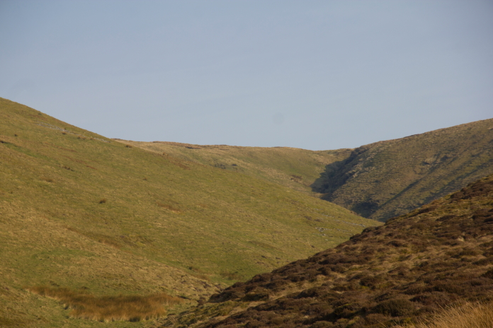
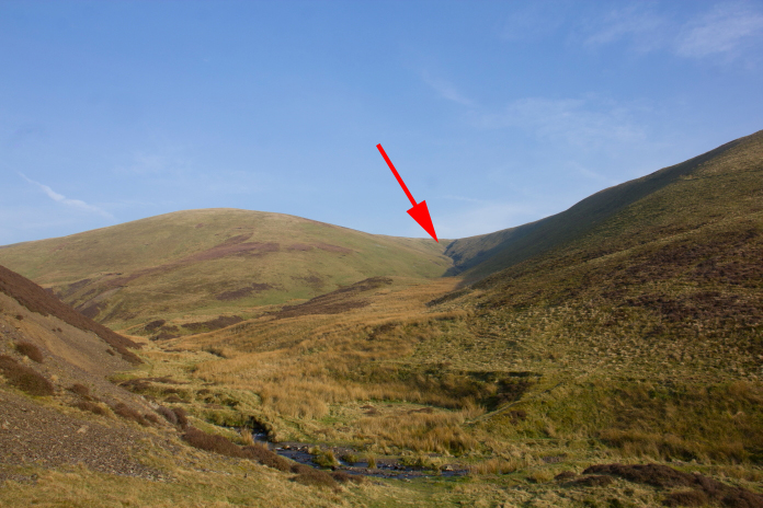
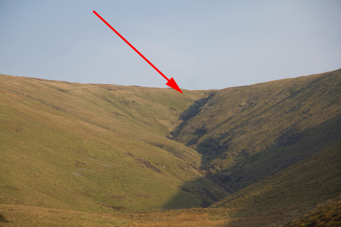
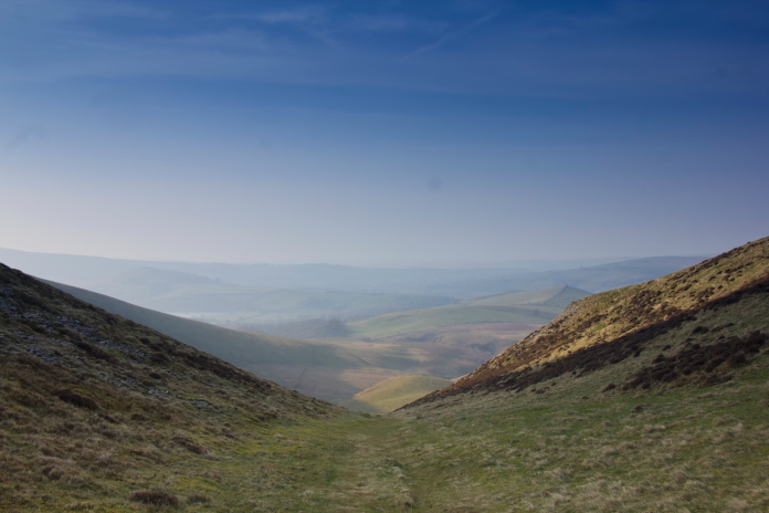
Back through Trusmadoor; still no sign of Jimmy Stewart!
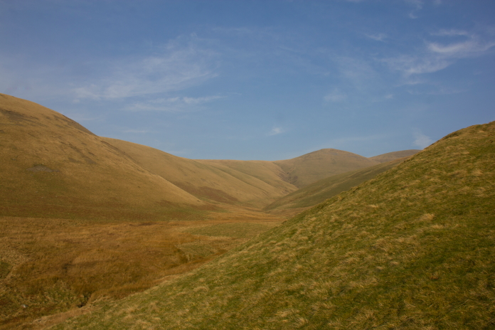
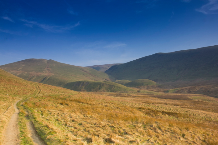
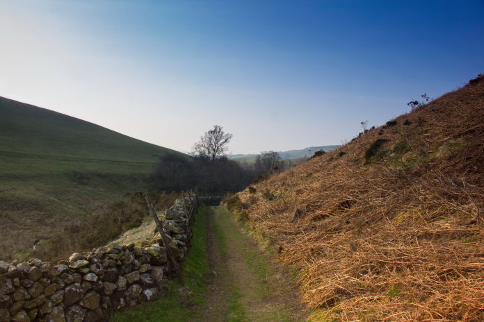
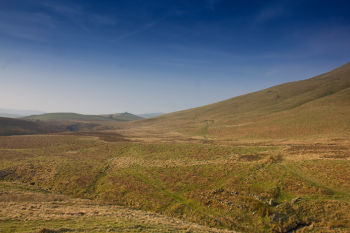 Above and next 4 photos:-Lovely evening stroll back to the car, in
slightly warmer conditions than on the way out.
Above and next 4 photos:-Lovely evening stroll back to the car, in
slightly warmer conditions than on the way out.
 *--Top of the list
**--Bottom of the list
*--Top of the list
**--Bottom of the list