WhiteOut.
Bristol Blenheim V5795 on Hart Fell
(Distance covered =
7.5mile/Ascent =+772m)
First walk of 2023. Decided on one not too great a distance from home and not too far north, in an attempt to avoid any snow.
After a bit of a discussion with my walking buddy (and head researcher) Stuart on which crashsite to go and have a look for, we eventually ended up meeting in a laybye on the A708 just north of Moffat at 7-00am, with the intention of looking for remains of a Bristol Blenheim on Hart Fell.
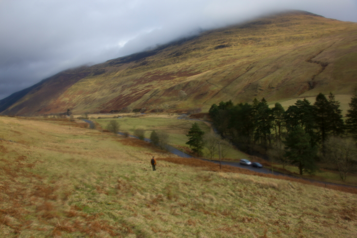
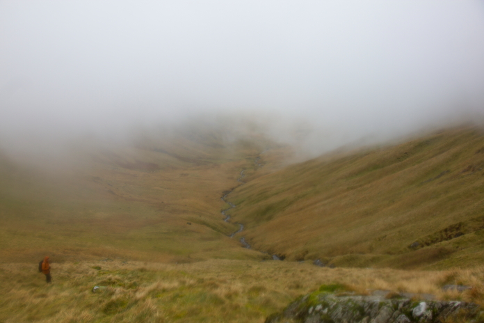
above and below:- Off up a landy track which followed the Blackhope burn north for about 2 mile.
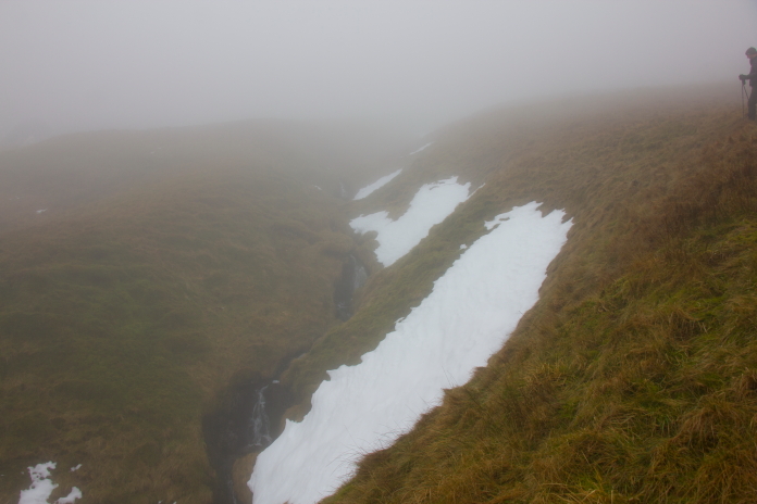
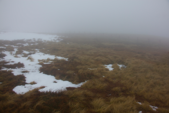
The weather forecast for the day had been favourable and indeed it was quite mild and precipitation free at the start of our walk, but all that changed as we gained height. While entering the bottom of a cloud we started encountering patches of snow, which ominously increased in size the higher we climbed until near the top the whole hillside was covered; which reduced greatly our chances of finding any Blenheim wreckage.
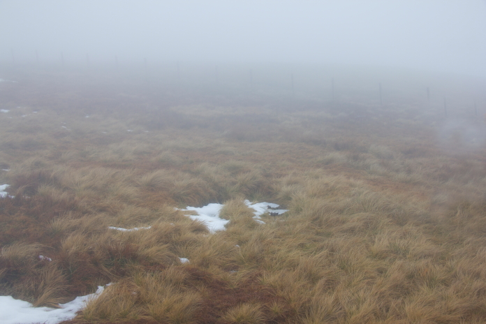
above and below:- Quite pleasant below the cloud base.

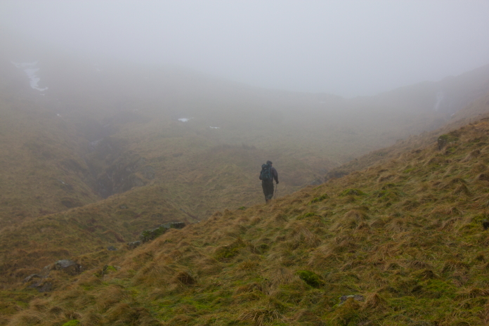
Climbing up into a cloud.
We encountered the first remnants of snow quite low down which was worrying.
The majority of people ascending Hart Fell will do it from the west side, up a track that starts near Ericstane then gradually gains altitude up to the summit. We of course didn't take that option but instead approached from the east side along a track that ran alongside the Blackhope Burn. We chose to approach from this side so we could look for any bits of Blenheim that may have been blown into the Cold Grain choire or washed down there in one of the burns.
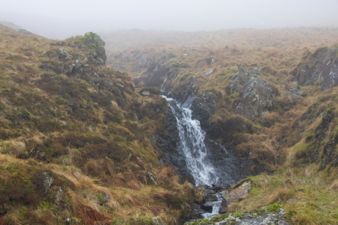
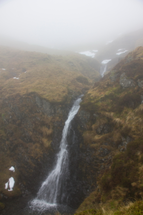
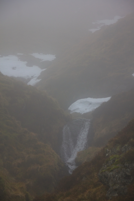
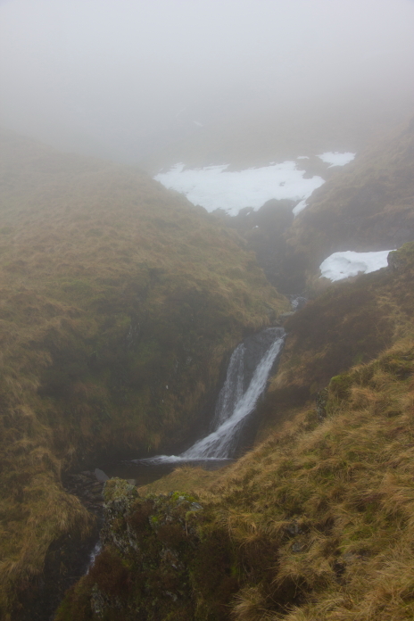
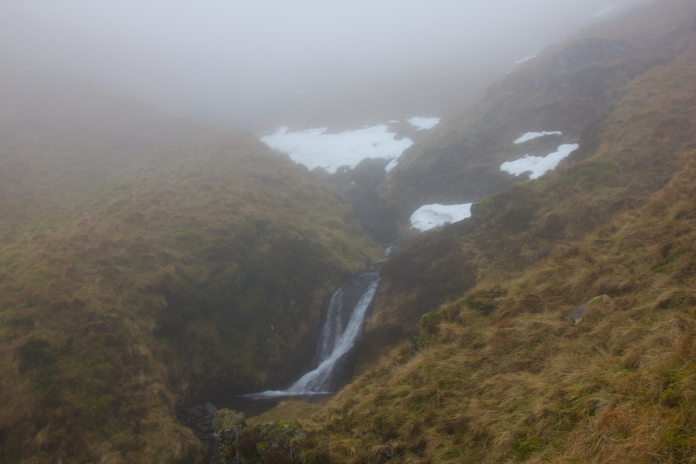
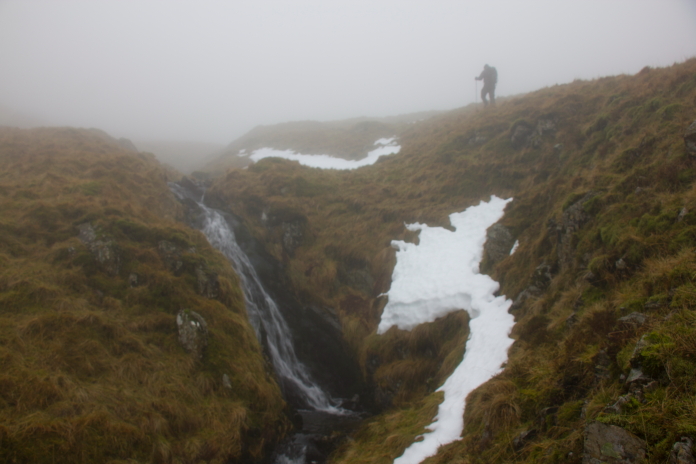
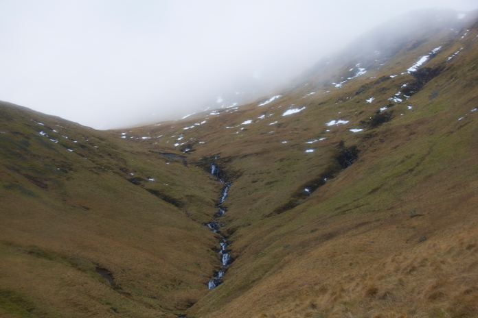
above and next 5 photos:- Some waterfalls passed on the ascent of Hart Fell. I might revisit this walk on a nicer day just to get some better photos of these.
One unexpected advantage of using the route we did, was we were on the leeward side of the hill for the whole ascent. We found this out as we emerged out of the Cold Grain choire onto the summit plateau and were met with a ferocious wind blowing in from the west. The wind however had done a reasonably good job of clearing the snow so we were able to find the scar where the Blenheim first hit the hill, which contained some fragments. There was a wreckage trail from this scar which travelled in a roughly north eastern direction but we failed to find anything else as that took us back over the ridge onto the eastern slopes which, being sheltered from the wind, were still covered in snow.
above and below:-Inpact scar containing a few fragments of Blenheim V5795, on top of Hart Fell.
We had seen reports prior to our visit that some Blenheim wreckage had been collected at the cairn on the summit of Hart Fell, so after failing to find any more bits along the wreckage trail thanks to the snow, we headed over to the trig point but we found no trace of anything in that area either.
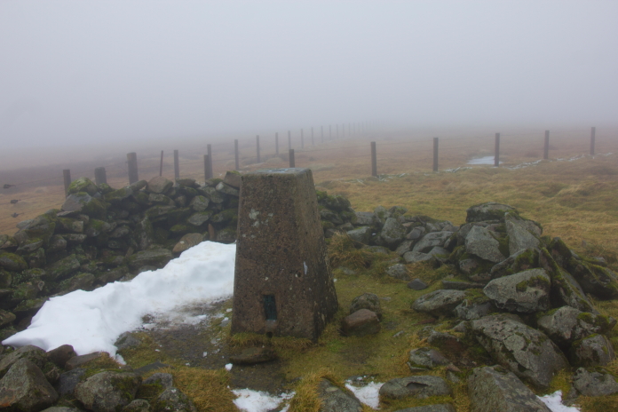
At Hart Fell summit.
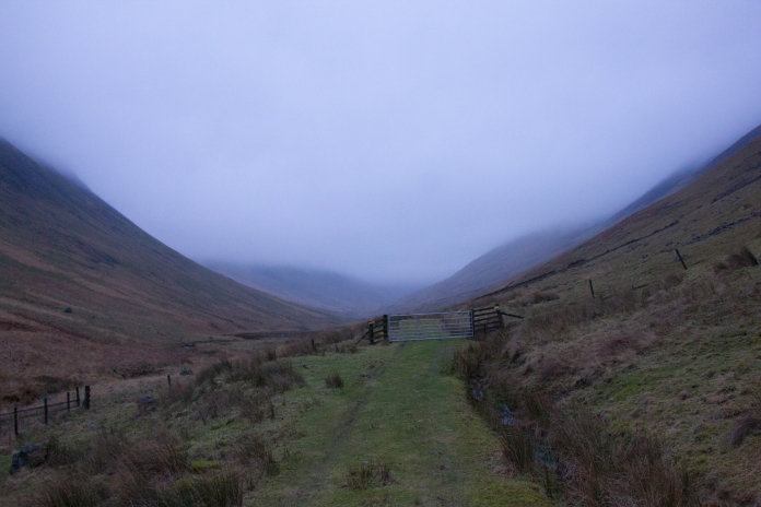
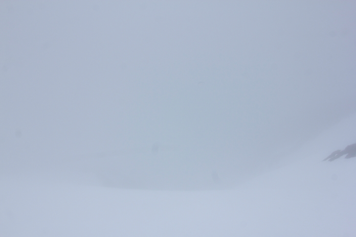
We had planned on dropping back into the Cold Grain Choire further north than where we ascended, so that we could check in more gullies for any wind or water swept pieces of Blenheim on the way down; but we had to abort that plan when we were met with total white out conditions.
above and next two photos:-Our planned route down from Hart Fell.
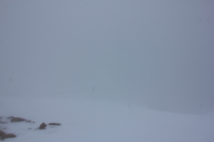
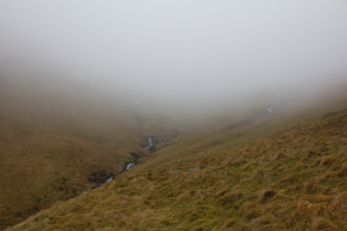
I took this photo as there were three
boulders that looked like the tips of mountains poking up through the
clouds, trouble is you can't even see the boulders.
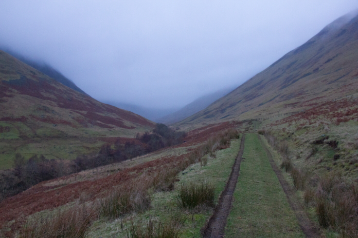
Above and below:-Back down the way we came.
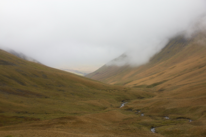
View south down Blackhope on the way back to
the cars.