In the spotlight.
Avro Anson MG356 on Bennanbrack,
Consolidated B24
Liberator AL624 on Millfore.
(Distance covered =
13.2 mile/Ascent =+1386 m)
The first day of my 2017 walking holiday to Arran and Kintyre, I'd stopped off on the way up to Ardrossen to catch the ferry over to Arran to spend a couple of days in Glen Trool, visiting some crashsites that had been on my 'to do' list for a while.
To get myself nice and loosened up for the coming 12 days of walking I set off on a 13 mile hike to visit two crashsites that were quite a distance apart but could be incorporated into a circular route, some of it along the 'Southern Upland Way' long distance footpath..
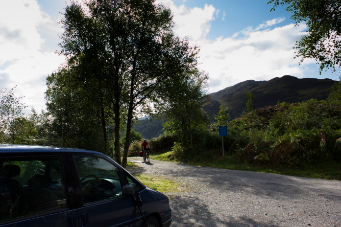
Ready for the off in Bruce's Stone carpark in Glen Trool.
I had a bit of a late start, setting off from the car at 10:00am but I had no time constraints so I could keep walking as long as I liked, at least until it became dark anyways!
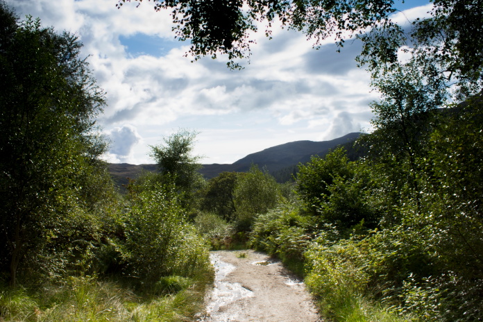
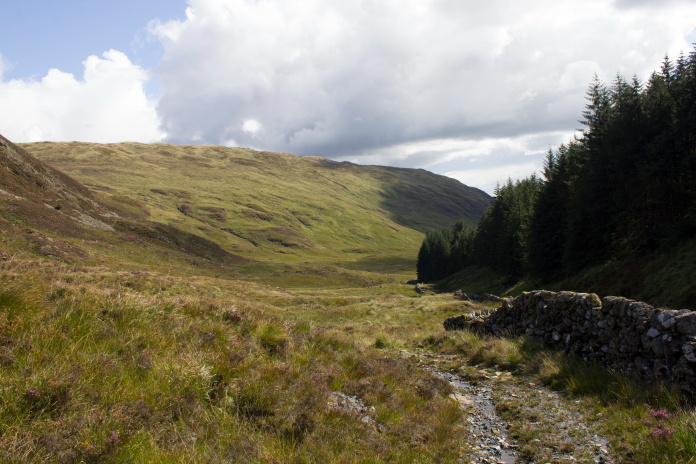
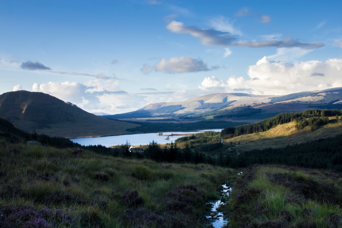
Above and below:-Off along Glen Trool.
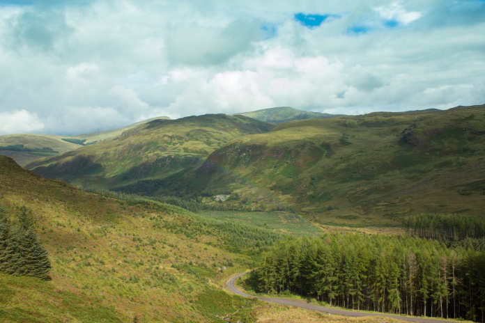
The first few miles of the walk was easy going along the Southern Upland Way, which itself was along a good forest track. The sun was shining and I had my fingers crossed my good luck with the weather would hold out for the next 12 days, I kind of doubted it would!.
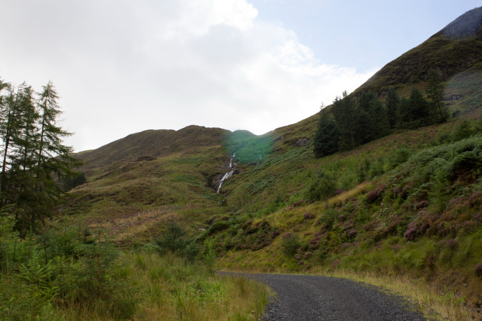
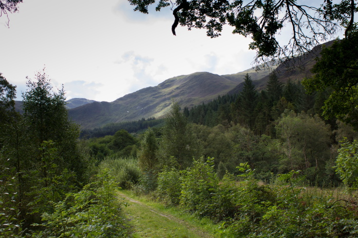
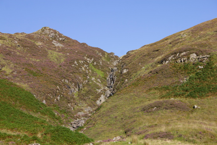
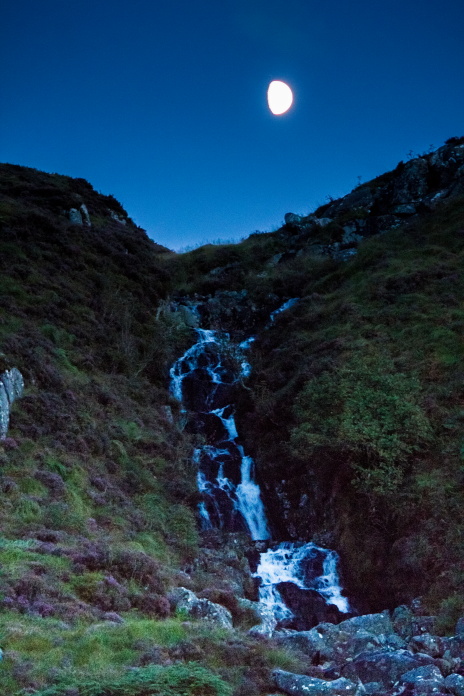
I had to leave the track here and head uphill beside the waterfall.
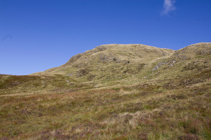
above and below:-Heading uphill towards Bennanbrack.
The climb up from the
Southern Upland Way was a bit of a slog especially the
initial steep bit past the waterfall but it got my legs and lungs working
and after enduring a short but heavy shower of rain I had my second breath
and was soon at the first crashsite of the day.
Remains of Avro Anson MG356 high up on
Bennanbrack.More
wreckage photos
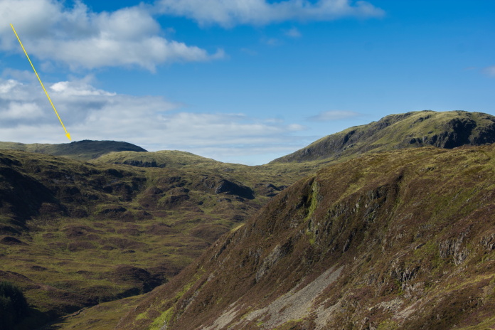
From the Anson crashsite it was a short walk up onto the top of Bennanbrack where I had an excellent view across to my second objective of the day, which had me wondering whether it might be just a little too far away to reach and still have time to get back to the car before it became dark!
Location of the B24 crashsite off in the distance on Millfore.
After a sit down and some bait on a boulder on top of Bennanbrack I decided if I could reach a footpath that ran south from White Laggan, between Curleywee and Millfore by 4pm I would continue on to the B24 crashsite, if not I would follow the path north to where it intersected the Southern Upland Way then follow that back to the car.
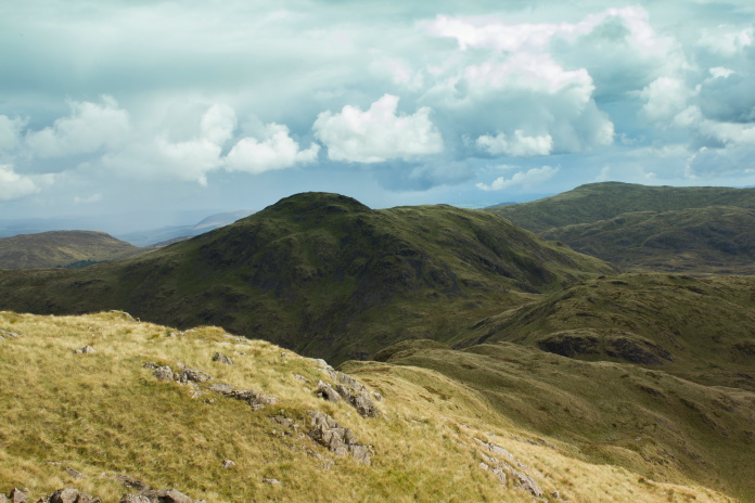
Above and next two photos:-Three different views of Curleywee from the west, south-west and south..
I eventually reached the path at 4-15pm which I deduced was near enough 4pm so continued on towards Millfore and the B24 crashsite.
Following the path south, looking for the easiest ascent of Millfore.
Location of the B24 crash, taken from the path south.
Just before the path reached an abandoned building it crossed a burn, I headed off up the hill here and set myself a new deadline to be back at the spot where the path crossed the burn at 6pm, that would give me approximately 2 and a half hours to get back to the car before losing the light.
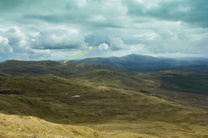
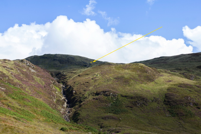
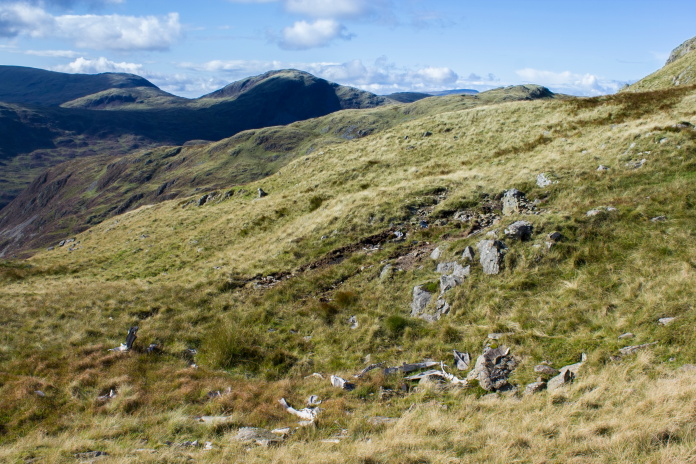
View back across to Bennanbracck from Millfore.The Arrow points to the location of the Anson crashsite which is just over the other side of the ridge.
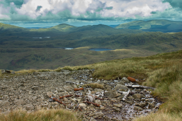
Bit of pipe from the B24, quite a distance from the rest.
The B24 wreckage is behind the bump on the right.
Where the B24 hit the hill, there is quite a bit of wreckage scattered around.
More wreckage photos
Back down at the path and I made the deadline.
Curleywee from the East.
The path was quite good from where I joined it down to the old building, but following it further north it just became wetter and boggier until eventually turning into one big muddy puddle as it made its way through a clearing in some woods. I decided once I made it back onto the Southern Upland Way I would find a rock to sit on and have a change of socks.
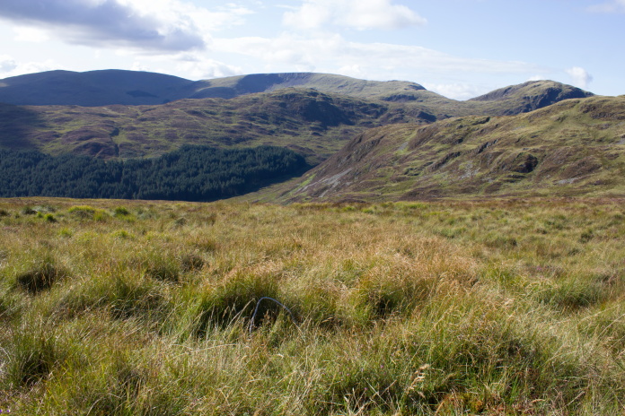
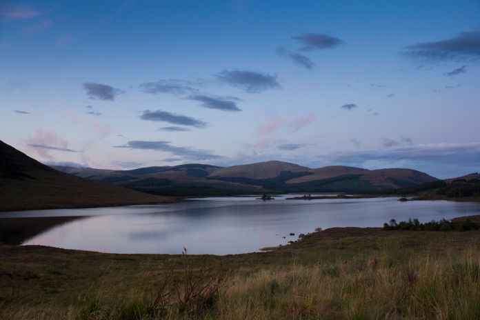
Approaching Loch Dee along the wet path, the landrover track which is the route of the Southern Upland Way can be seen in the distance.
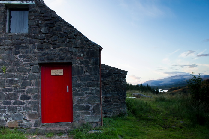
Above and below:-I found something much better than a rock to sit on. White Laggan Bothy.
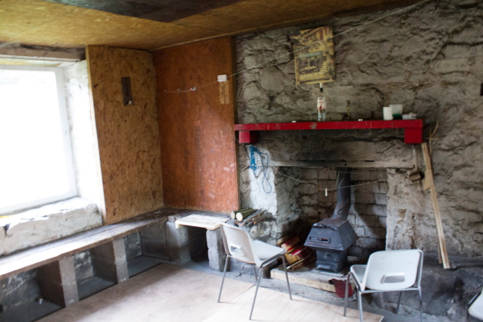
I should have set myself a deadline for leaving the Bothy, because I spent way too much time in there having a comfortable sit down and having something to eat while waiting for my boots to dry out a little. I contemplated spending the night there but I had a ferry to catch the following day so needed a very early start for walk number 2, therefore rather reluctantly I put on some dry socks and my 'a little drier' boots and continued on my way.
Above and below:-Starting to lose the light.
As I was walking back along the Southern Upland Way a Helicopter flew over me heading west, it then turned up a glen to the north before returning and flying over me heading east, it did this several times, heading up different Glens and on one occasion it shone its searchlight directly onto me, I felt like bursting into a song and dance routine but when I did nothing but continue walking it flew off to the west again before returning one last time and disappearing from whence it came. Whether it was searching for someone or just out training I do not know.
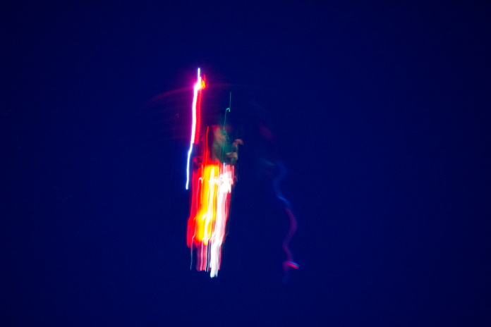
What happens when you try to take a photo of a Helicopter in the dark!