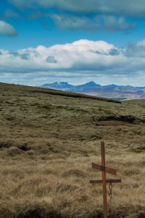
Not quite a T-Rex
Tiger Moth G-AKCH on Blairdenon.
(Distance covered = 9.0
mile/Ascent =+926m)
Supermarine Spitfire R6983
on Bengengie
(Distance covered =
8.0miles/Ascent = 717m)
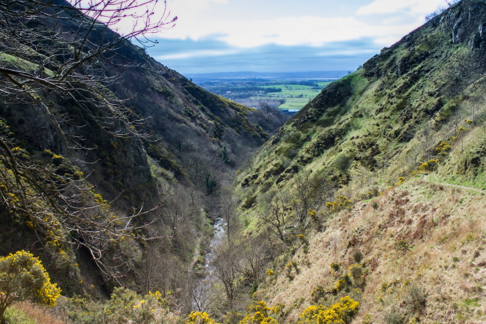
More trips to the Westpark Monthly Competition at Denny meant more trips across to the Ochill Hills for me and two excursions up the very scenic Alva Glen.
There is reports of a Spitfire crashing on Bengengie Hill up the top of Alva Glen, trouble is I only had an incomplete grid reference and I've found from past experience if the grid reference is incomplete it is usually inaccurate as well.
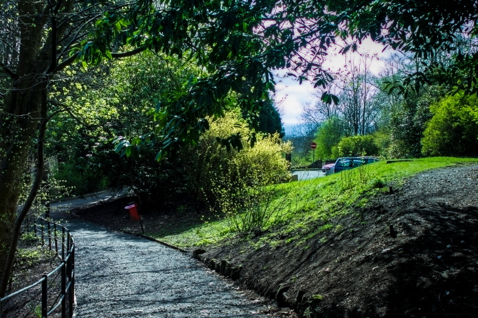
Carpark in the park, at the bottom of Alva Glen
The information I had put the Spitfire crashsite somewhere in a 1km by 1km square on the eastern slopes of Bengengie, My plan was to have a walk right up to the top of Alva Glen then climb up out of the Glen onto a farm track that lead to some sheep pens to the east of Bengengie. I could then have a sit down and see if I could spot anything through my binoculars.
One of several old dams in Alva Glen.
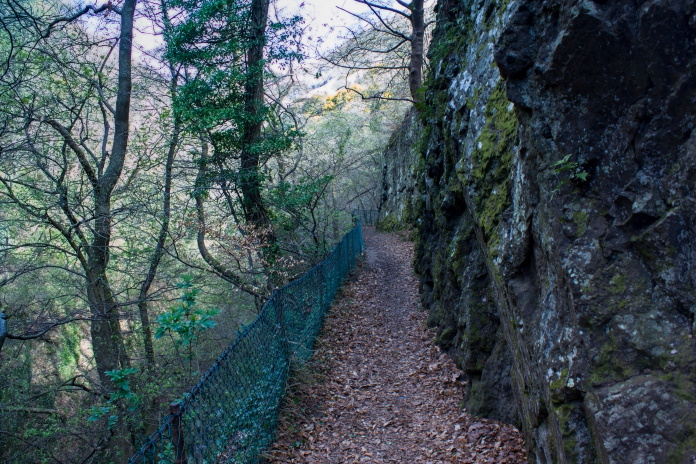
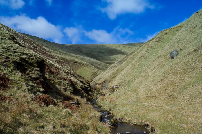
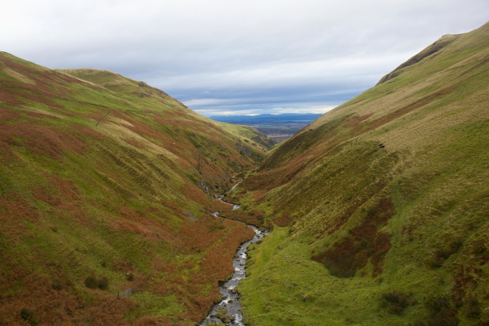
The lower reaches of the Glen is quite deep and to enter you have to go through a metal gate, the first half a mile of path has been hewed out of the flanks of a vertical rockface and has a wiremesh fence to prevent those not paying attention to where they're going plummeting over the edge into the burn far below.
This section of path put me in mind of a scene from
Jurassic Park
The path made me think of that scene on Jurassic Park where they're being chased by the Pterodactyls and a bit of mist down here would definitely of had me worried about what I might bump into. What I did come face to face with was not a T-Rex but a candidate for the world's stupidest Sheep.
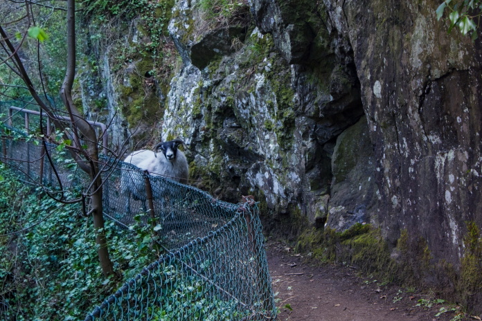
The Beastie I did bump into.
After a bit of a Mexican stand off the dopey sheep decided to turn around and go back the way it came then picked the steepest most dangerous looking spot to leave the path!. This would not be the last I saw of Dopey.
 At the end of the
Jurassic section of the Glen
At the end of the
Jurassic section of the Glen
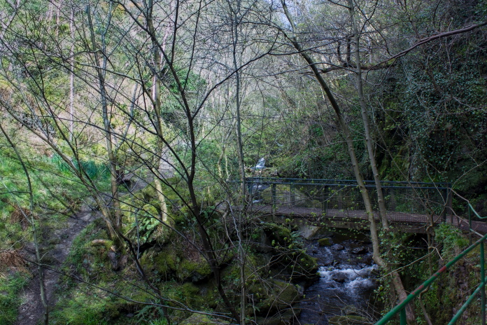
Several metal bridges are crossed on the way up the Glen and a sign warning you that the Burn is the water source for the Town below so you will be prosecuted if you contribute to the flow.
One last bridge and one last Dam before the path climbs steeply
out of the bottom of the Glen.
As it was very warm and sunny and sheltered from any breeze I was a bit envious of the Black Labrador having a swim in the pool formed by the last dam in the valley.
Steep climb out of the bottom
The tourist path comes to an abrupt halt above the not so uniquely named Smuggler's Cave. I don't know why Smugglers would be up here and its not technically a cave!
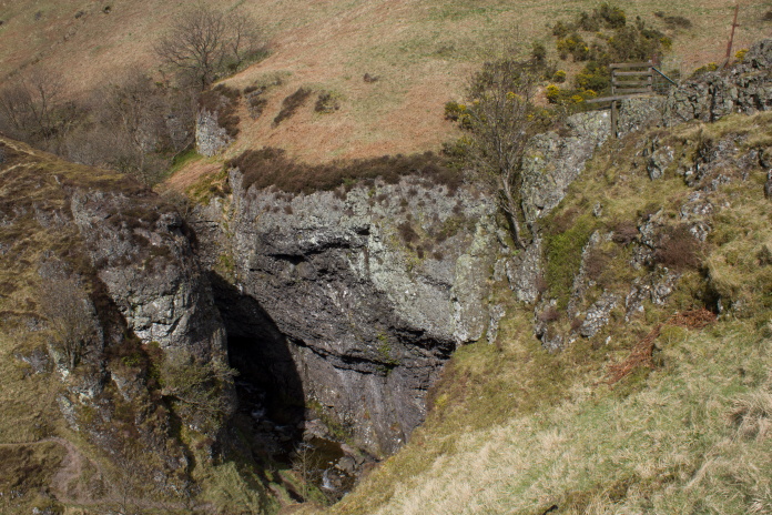
The tourist path ends at the wooden fence on the right.
After the official end of the path above Smugglers Cave there was a reasonable path that continued upstream although it did gradually deteriorate as it went.

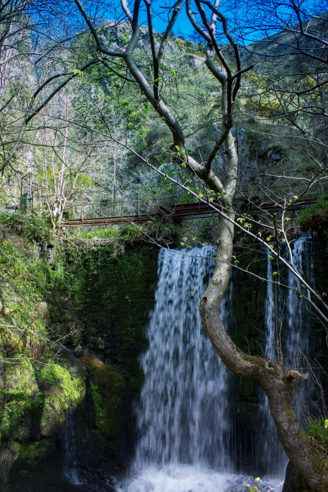
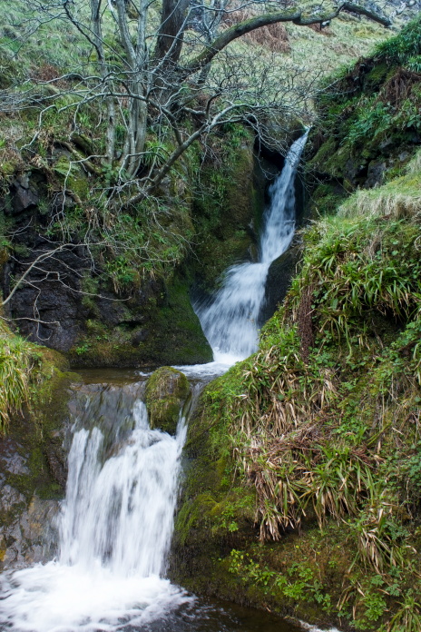
There was still a good path past the cave but only to the waterfall
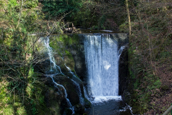
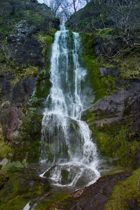
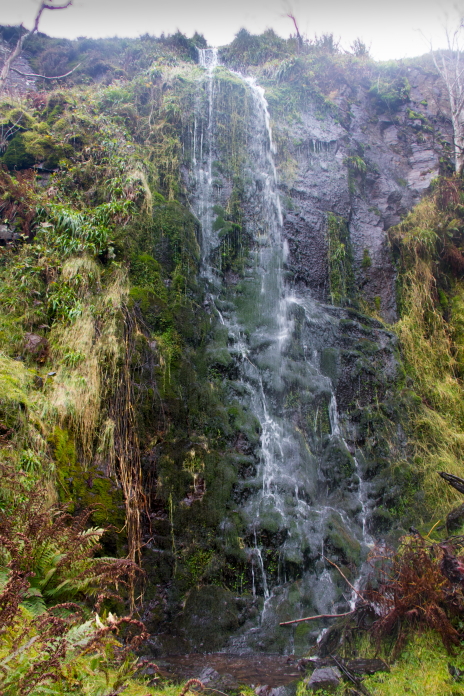
As well as photographing the crashsites I also enjoy taking photographs of waterfalls and the one in Alva Glen is quite impressive.
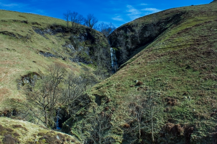
Although it would have been better with some leaves on the trees, the waterfall would probably then be obscured from view.
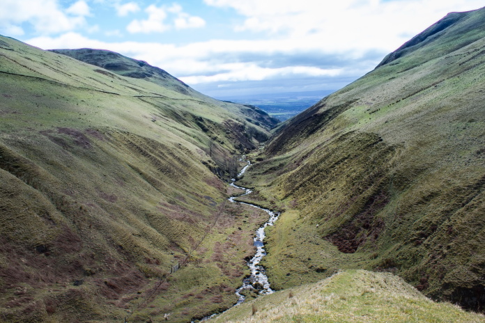
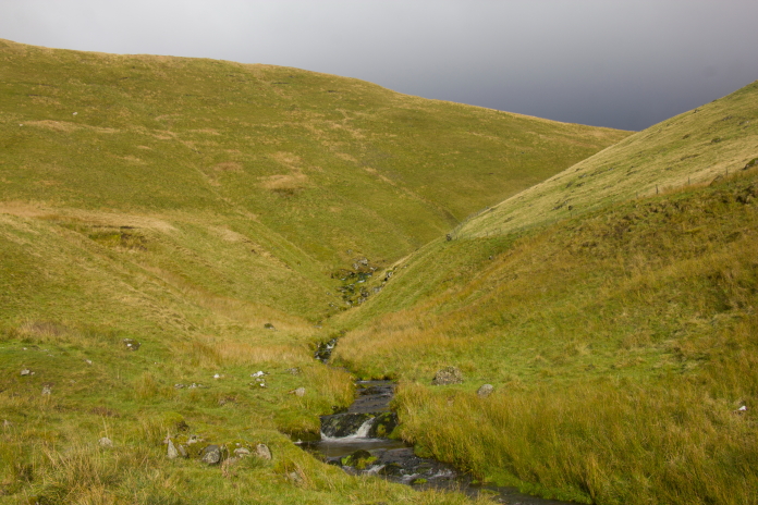
It would have been worth the walk just to see that waterfall but my main objective was to check out Bengengie so I still had at least another mile to go up the valley.
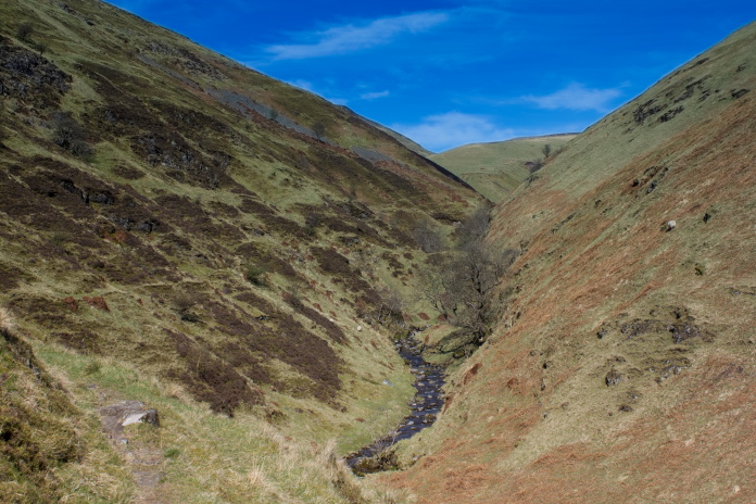
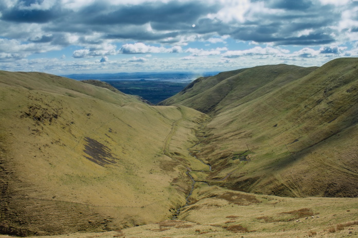
Above and below: Nearing the top of Alva Glen
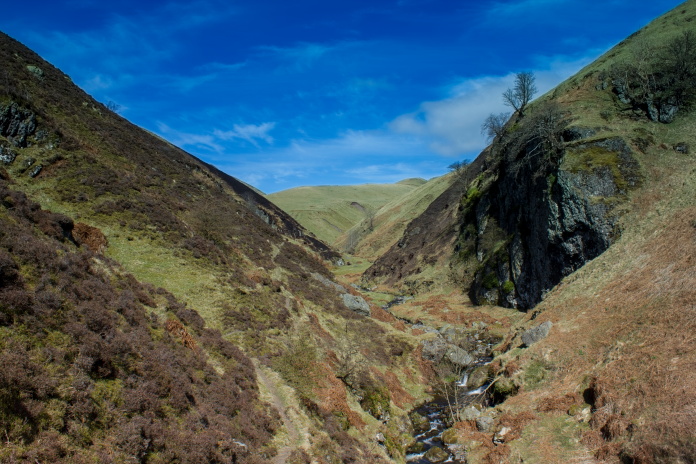

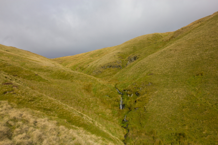
The rocky summit of Bengengie peaking above The Cloves
As it looked a bit tricky to follow the burn around a small hill called The Cloves, I had to go up a very steep incline and go over the top of it, on such a hot day it was very hard work.
Even contouring around the Cloves would have been tricky.
Up the initial steep bit looking back down Alva Glen
Onto the top of The Cloves I had a very good uninterrupted view across to
Bengengie so instead of following the farm track down the other side to
the sheep pens I just found a suitable rock to sit on , have my sandwiches
and have a search around with my Binoculars.
Bengengie on the right with the sheep pens below and the track coming over The Cloves on the left
I couldn't see anything that looked like plane wreckage but if it was lying in a depression or a peat hag or if there was just small parts remaining it was very unlikely I would spot it and most likely the grid ref I had was inaccurate anyway. However I wasn't disappointed because I'd enjoyed a very interesting walk up from Alva and I also knew now, exactly how much time I would need to visit another crashsite on nearby Blairdenon Hill.
Taking the farm track back down
There is a farm track that runs parallel with the Alva Burn but a couple of hundred feet higher up the hillside, I would save a lot of time using this route with my bike next visit. I followed it halfway back then dropped back down into the bottom of the Glen photographing the waterfall as I went and I also had enough time to go down and have a look in Smuggler's Cave.
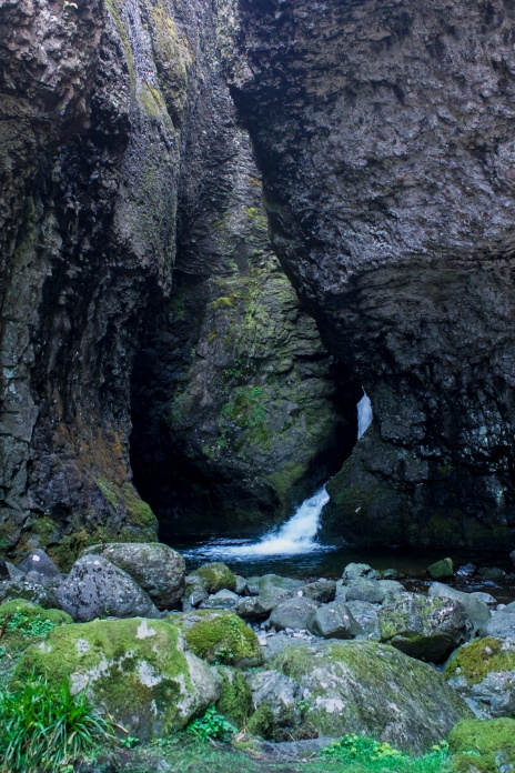
Inside Smuggler's Cave.
Oh! I almost forgot about Dopey!
Back down the path almost to the
metal gate I came across a farmer, his son and two sheep dogs, the Farmer
said to me "watch yourself when you walk past here in case that thing
falls on your head" pointing his crook up the almost vertical cliff face
to where Dopey was stuck, perched precariously about 50feet above the
path.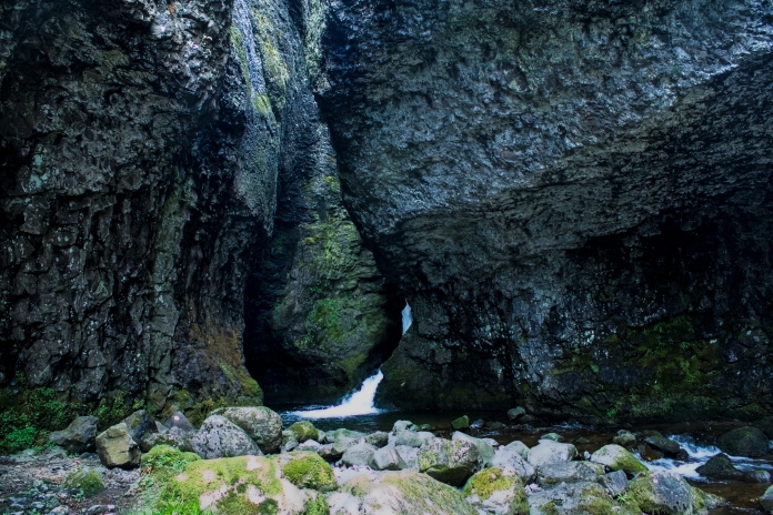
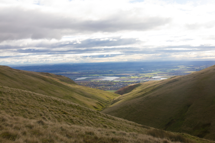
As we are usually at the competition at Denny every month it wasn't long before I was back, this time with my bike. After an initial lung busting climb out of Alva I was soon at the sheep pens where I ditched the bike and continued up the burn onto Menstrie Moss, a wet and soggy area between Bengengie and Blairdenon.
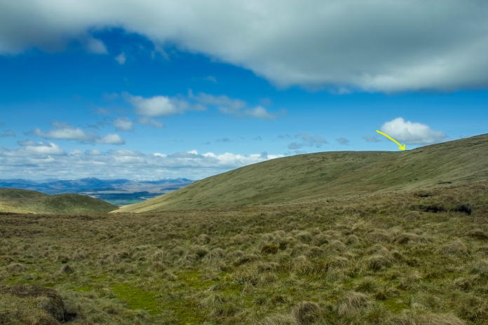
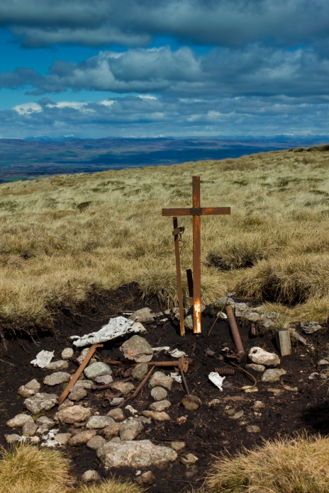
On Menstrie Moss heading towards Blairdenon, the location of the Tiger Moth crash is arrowed.
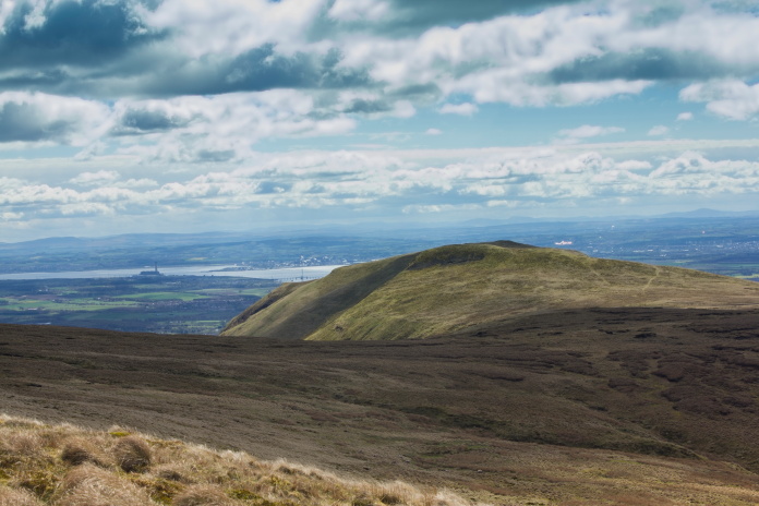
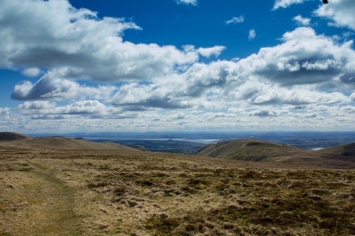
Fantastic views back over Bengengie to Grangemouth, where most of the planes that crashed in the Ochills were stationed.
Finding the crashsite was easy as a couple of metal crosses have been erected and it was exactly where it was supposed to be, which always helps.
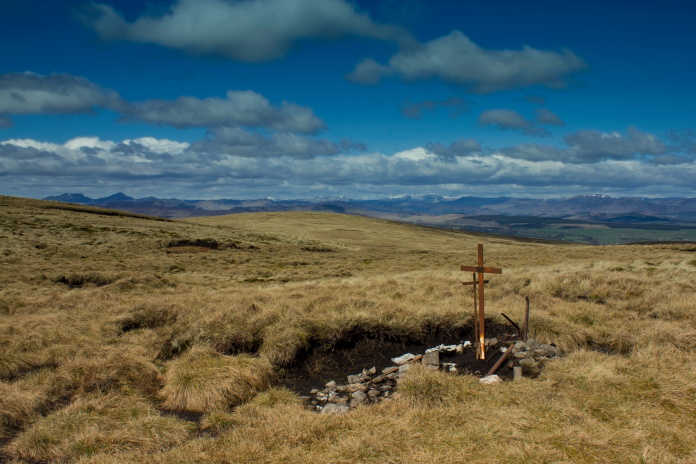
The crashsite consists of a few scraps collected together in a small peat hag and two metal crosses one of which has a plaque attached.
View west, the windfarm on Bein Odhar can be seen in the distance
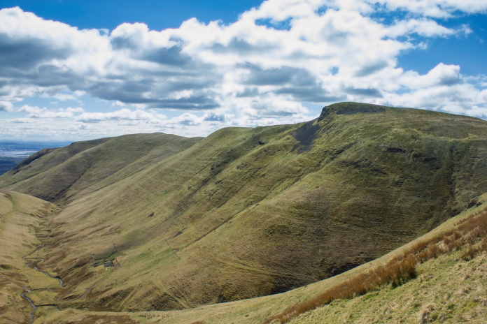
I took a different route back to the bike, straight over the top of Blairdenon and down the other side. This enabled me to have a look in another part of the 1km by 1km square where the spitfire could be, I didn't really expect to find anything so I wasn't surprised when I didn't.
The top of Blairdenon
Me bikes down there
Once back to the bike it was time to test the brakes and suspension on the way back to Alva, on the last very steep bit, the brakes were found sadly lacking and I had to dismount and push the bike down the hill.
Ben Buck and Craighorn from Blairdenon.
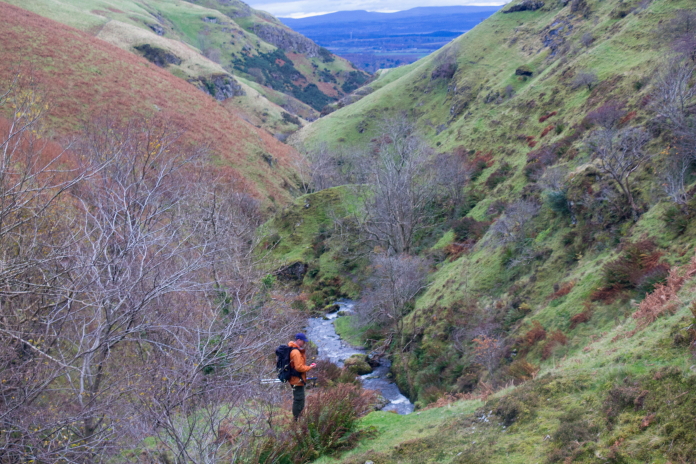
In November of 2023 myself and Stuart hatched a plan to go and have another look for the Spitfire on Bengengie. Stuart had acquired a Drone so we figured this crashsite would be a good one to try it out on as we could position ourselves on the other side of the Glen to have an uninterrupted view of the eastern slopes of Bengengie then fly the drone back and forward over the slopes to see if we could spot anything.
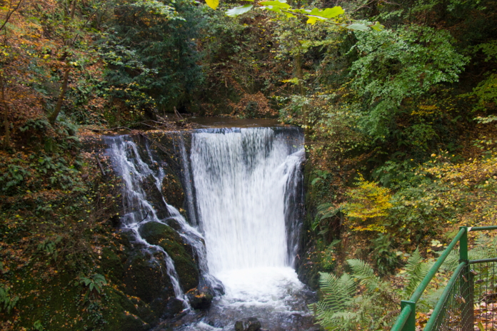
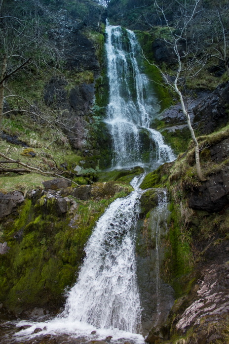
Sure I've seen this waterfall before!
After my first attempts at finding the Spitfire's remains I was contacted by a member of ACIA called Kenny, he had managed to find it and offered to go with me should I ever return to show me where it was. I contacted Kenny and he agreed to meet us in Alva Glen carpark.
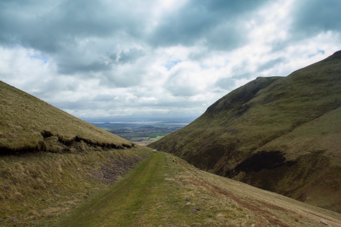
Taking the longer but less steep route to Bengengie.
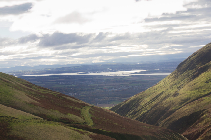
View across to Grangemouth, there was an RAF
airfield there, and that is where the Spitfire took off from on it's final
flight.
above and below:-starting the final ascent onto the top of the hill.
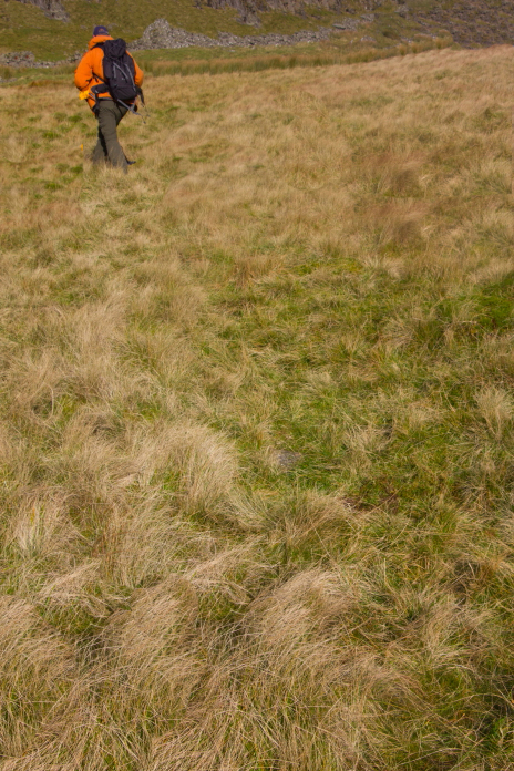
above and below:-Entering our search area.
It was lucky for us that Kenny agreed to come along because our plan of searching the eastern slopes of Bengengie with a Drone would have been a massive #Fail as the site wasn't on the steep boulder strewn east side of the hill as we thought it was, but on a grassy featureless area well out of sight of our planned vantage point.
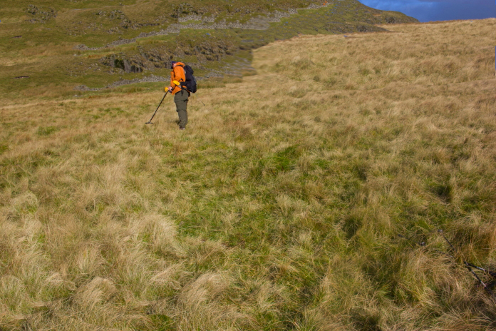
above and below:-Stuart trying to locate the site.
As well as being out of sight there was also no wreckage visible on the surface and it took quite a while for Kenny to relocated some pieces that he had hidden under a boulder on his first visit. I can safely say if he hadn't come along to show us where this one was, it would have been another FTF for my list.
Kenny searching for the boulder he'd hidden wreckage under.
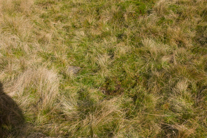
The boulder in question, itself almost completely hidden in the grass.
There were numerous pings on the metal detector in this area, without a licence or landowners permission we had to make do with seeing what Kenny had hidden under the boulder.
We decided to take the more direct route back to the carpark, straight down Alva Glen, a much more 'interesting path'.
A waterfall I didn't photograph on my previous visits.
Stuart trying to get a phone signal in the deepest depths of Alva Glen.