The Boot Camp excursion.
Hawker Hurricane Z3150 on Peel Fell.
(Distance covered = 7.4 mile/Ascent =+496m)
Auster Workmaster
G-APMJ on
Dungeon Hill and
AW Whitley P5009 at Loch Enoch.
(Distance covered = 10.2 mile/Ascent =+802 m)
As the girls were attending a 'Highland Dancing Bootcamp' at some Lodges near Kielder for the weekend I took the opportunity to go back to Glen Trool to visit two crashsites that I failed to reach on a previous visit.
The plan was to drop them at the bootcamp
at Bellingham then drive over to Glen Trool in Dumfries and Galloway, camp overnight then have a
very early start
the next day. However as I left the Lodges it was only just after midday so
I took the opportunity to visit a nearby crashsite on Peel Fell first.
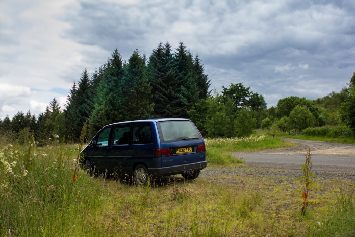
The faithful old Pug parked beside the road at Deadwater
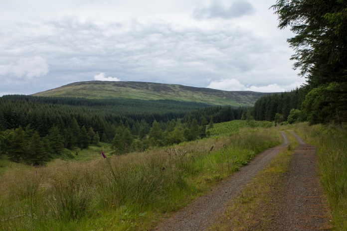
Sometimes when the first part of the trek is through Forestry Plantations it can be difficult to find the right Forest track to follow, as what's marked on the map sometimes bears no resemblance to what's on the ground, trees are felled or new ones are planted and new forest tracks are often constructed while old ones can be abandoned and overgrown. That wasn't the case here though as although a lot of the trees marked on the map had been felled the track left the road at a very distinct angle and it was the only one on a two mile stretch of road.
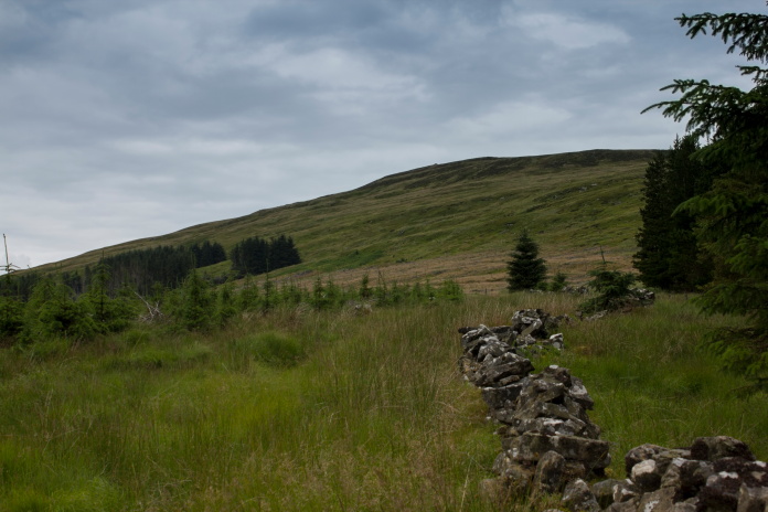
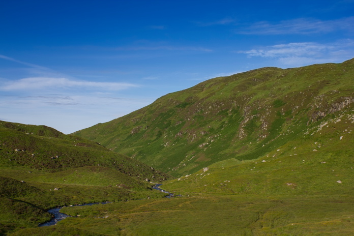
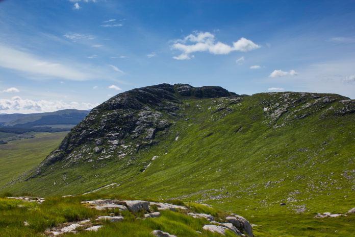
Peel Fell off in the distance.
Where I parked the Pug was in England, but another half a mile down the road and it would have been in Scotland. The English Scottish Border goes up and over the top of Peel Fell,the crashsite of the Hurricane is about 3/4's of a mile into Scotland.
Crossing the Border Wall into Scotland
The forest track took up about 2/3rds of the distance involved in reaching Z3150,s crashsite, at the end of the track it was through the woods and into Scotland. There was a feint path to follow up onto Peel Fell along the Scottish side of the Border wall. Half way up the initial rise onto the summit I decided to contour around the hill to reach the wreck instead of going up and over.
 The Border Wall leading onto Peel Fell, I contoured around the hill to the left just above the tree line.
In hindsight I wish I'd gone up and over
because the going around the side of the hill consisted of deep
heather, deep gullies and deep grass which concealed numerous boggy areas, having said that
however there was know way of knowing if the going up and over the top was any
better.
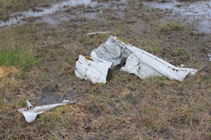
As the wreckage of the Hurricane was lying
in a hollow there was no sign of it until I was standing right on top of
it, however it was exactly where it was mean't to be so didn't pose any
real difficulties to locate.
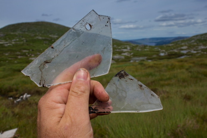
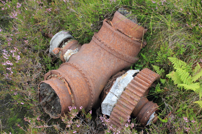 The propeller hub and reduction gear,the remains of the wooden propeller blades can be seen.
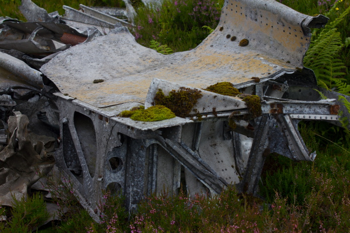
The largest piece remaining is this lump of wing.
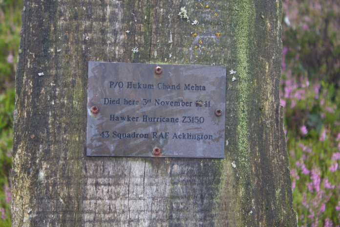
The Pilot was one of a few from India who fought with the RAF during the war.
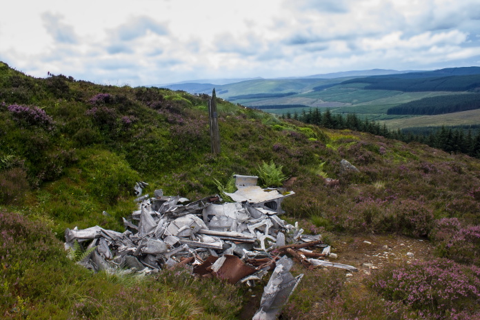
Above and below:-There's quite a lot left although as it's lying in a hollow it's hard to spot.

It was about 8pm by the time I arrived back at the car and 10.30pm by the time I was parked in Bruce's Stone carpark in Glen Trool which was ideal as it was straight to sleep ready for an early start in the morning.
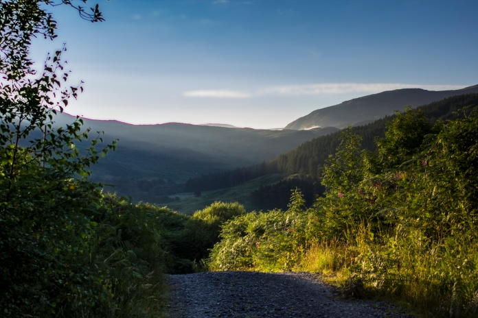
Leaving Bruce's Stone Carpark at 6-00am, I won't mention my luck with the weather!
Setting off at 6-00am I expected to be savaged my Midgies but I think they must of been having a lie in as there wasn't a single one to be seen.
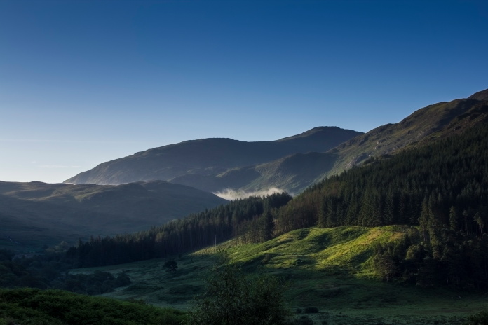
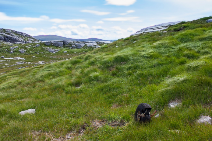
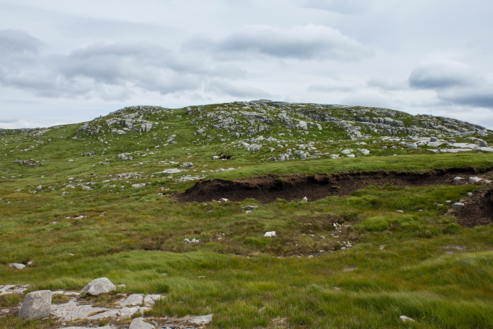
Bennanbrack on the right, there's an Anson crashsite up there, one for the future.
As I'd been up here a couple of months earlier I didn't have to bother with any navigating at first because I knew the way, the initial climb at the start of the walk looked like it was going to be tricky because of chest high bracken that had sprouted since my first visit but although not immediatly apparent, there was still a path to follow through it.
Above and below:-The path from the carpark up to Loch Valley was a little dryer but still very boggy.
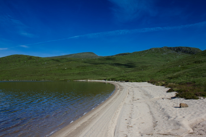
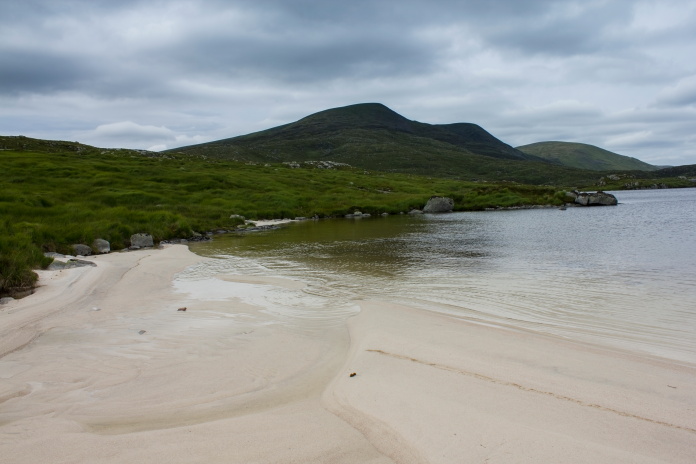
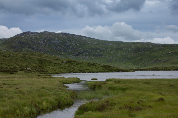
Once I'd reached Loch Neldricken I followed its shore around below Craignaw passing a couple of beautiful white sandy beaches on the way, these beaches only seemed to be at the northern end of the Loch while a little further on the beaches at Loch Enoch were all at it's southern end.
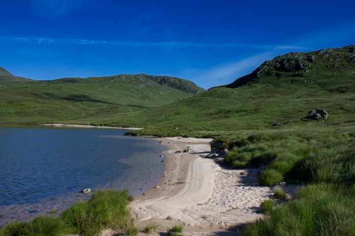
One of the beaches at the Northen end of Loch Neldricken below Craignaw.
On my previous visit it was just before these beaches that I turned right and ascended Craignaw to visit the crashsite of an American F-111 jet*, this time I continued around and at the last beach I sat down in the sun to have some breakfast.
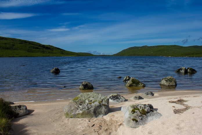
No1 on my 'nice place to have a picnic list'
Sitting on a boulder beside a loch at 8-30am in the morning having my breakfast in lovely warm sunshine with no wind, no rain and no midges was definately one of those 'can't get better than this moments'. I spent a lot longer sitting on that boulder than I had intended.
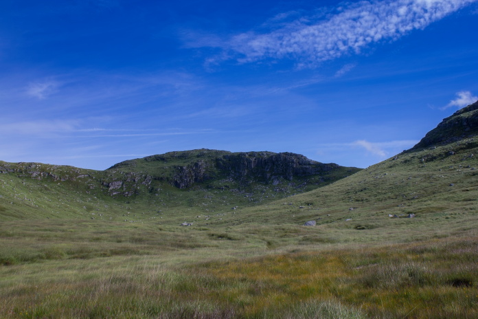
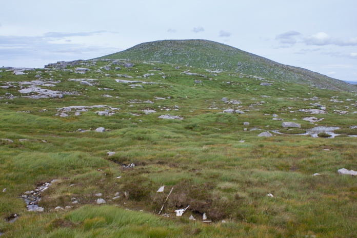
Next objective of the day dead ahead, Craignairny
After the last beach of Loch Neldricken I thought it was going to be another bogslog up the valley to Craignairny but the going wasn't half as bad as I had expected and I was soon up and over the bealach to the area where an engine and some other bits from an Auster Workmaster are supposed to lie.
 Craignaw from the southern slopes of Craignairny.
As with my previous visit, despite having a grid ref and some photos of the engine(which didn't prove to be much help) I failed to find it, the only people who appear to have found the illusive engine came across it just after the heather had been burned off so it would appear it is well concealed by vegetation.
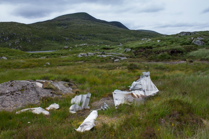
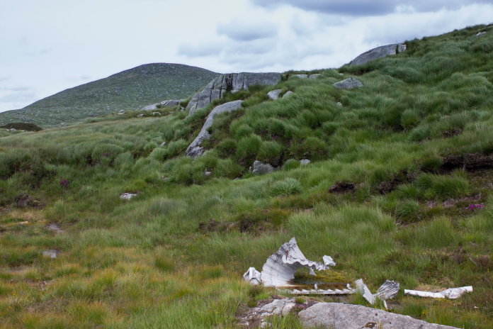
 Another piece lying away from the crashsite is one of the mainwheels
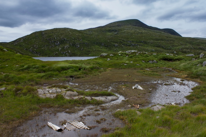
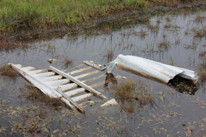
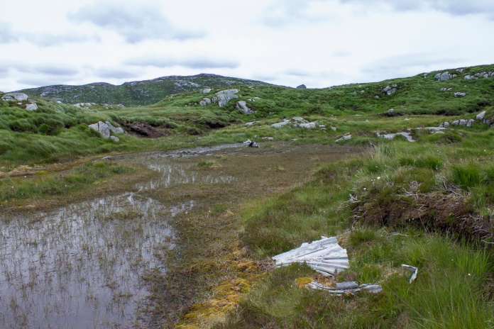
The area where the Auster crashed is in a boggy area between Craignairny and Dungeon Hill and was easy enough to find. Some very corroded pieces lye in a wet peaty area and right next to that a lot is buried in the grass with a few panels on the surface. On piece looked very like it could be the seat frame.
After eating my butties on a very large flat rock I headed up to the top of Craignairny where I had a birds eye view of my next target for the day, the crashsite of an Armstong Whitworth Whitley which lies right next to Loch Enoch.
Loch Enoch from the top of Craignairny
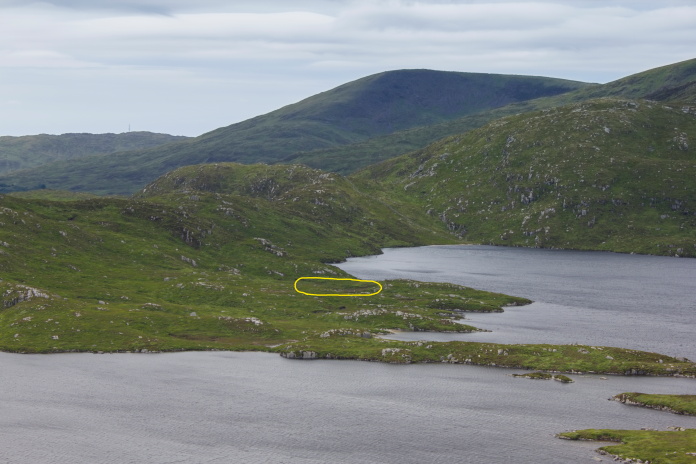
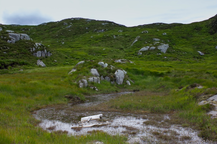
The location of the crashsite.
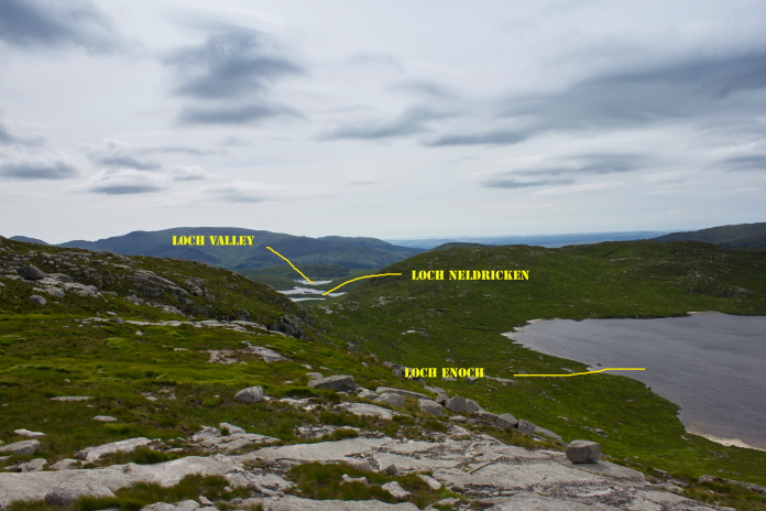
Loction of the other Lochs I'd passed earlier.

Above and below:-More sandy beaches, all of Loch Enochs beaches seemed to be at it's southern end.
Going off the map I expected the area at the south of Loch Enoch to be very wet and boggy but it wasn't at all bad and I made my way around to the crashsite from the base of Craignairny without getting my feet wet(ter).
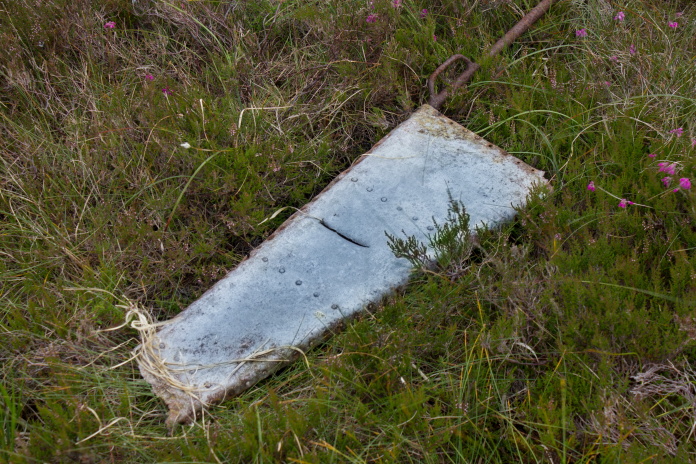
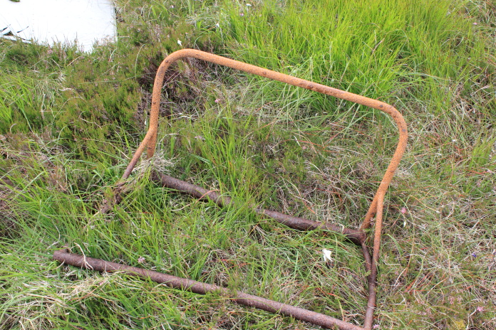
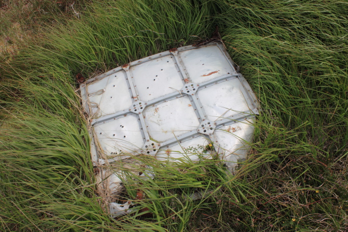
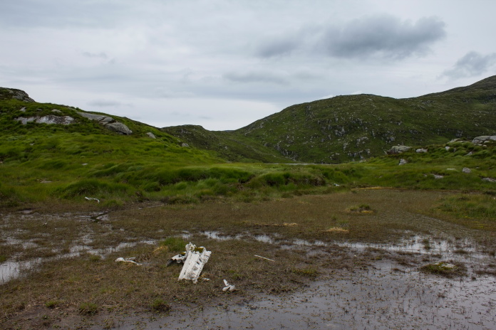
above and next 7 photos:- Theres not much left of the Whitley, just a few scattered panels.
After putting on some clean dry socks I spent quite a while sitting on a rock which overlooked the crashsite on one side and Loch Enoch on the other. As well as waiting for my boots to dry out a bit I was enjoying the remoteness of the place, a feeling which was being enhanced by the stiff breeze and darkening skies which were threatening some inclement weather.
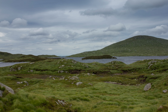
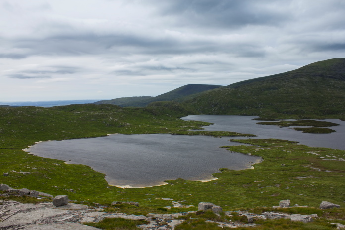
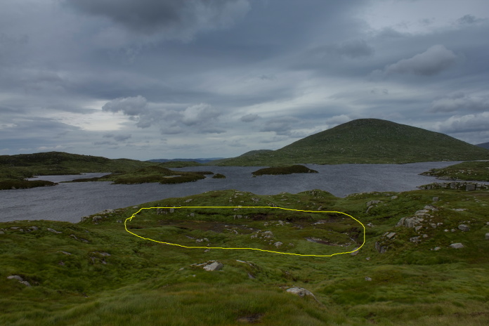
Above and below:-Loch Enoch and the area where the Whitley crashed(circled in yellow)
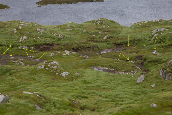
Yellow arrows pointing to pieces of wreckage.
I climbed up onto the top of the hill behind the crashsite to check if there was any pieces of Whitley further uphill and also to have a look at Loch Arron which was secreted away up there somewhere.
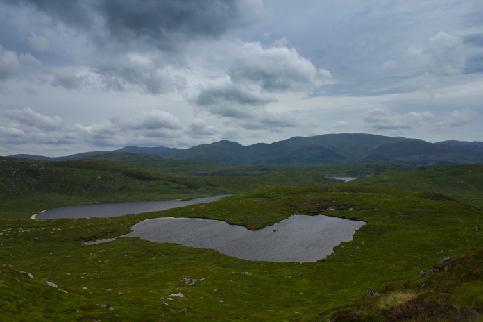
Loch Arron, it looks like it's adjacent to Loch Neldricken but its actually a couple of hundred feet higher up and about half a mile away.
Loch Valley can also be seen in the distance.
Once I'd found Loch Arron I had to decide to go down and around the northern end of Loch Neldricken back the way I'd came up earlier, or go off to the right and around the Southern end. I decided, saying as the area at the southern end was called 'Murder Hole', I would go that way and see what that was all about!
Crossing the area known as 'Murder Hole'
There was no clues on the ground as to where the name 'Murder Hole' might have come from but when I arrived back home a quick search on the interweb revealed it arrived by it's name, not because of any sinister wrongdoings at the location but because of a novelist's literary licence. In Galloway there exists the tale of a woman and her son who lived in a lonely cottage at Rowantree Junction on on the Bargrennan to Straiton road. The pair were said to welcome weary travellers, but after providing them with a bed for the night they would murder them and dump their bodies in a deep, boggy hole on the moor.When SR Crockett penned his novel called 'The Raiders' he used this story in his book but changed the location of the Murder Hole from Rowantree Junction to Loch Neldricken.
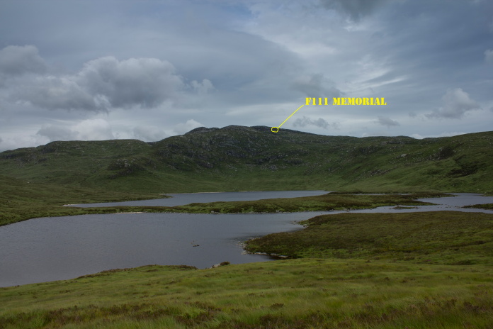
Craignaw and the location of the USAF F-111 crash from the southern end of Loch Neldricken.
Once passed the Murder Hole it wasn't far before I was back on the soggy path I had followed up on the way out, only this time I was a little less concerned about trying to keep my feet dry. On my first visit to Glen Trool* a few months earlier the weather had started off wet and miserable but became gradually nicer as the day went on so I arrived back at the carpark in glorious sunshine, this day was exactly the opposite having started off glorious but gradually deteriated as the day went by, so as I emerged from the thick bracken back onto the tarmac'd road leading to the carpark it had started raining.