
Diversion inversion.
DH60 G-ACGD on Broadlaw
I've been waiting for a chance to go and have another look for the two crashsites on Broadlaw that I failed to find on a previous occasion, a DH60 and an ANEC Misselthrush. That chance arose when Heather decided to go and dance in a competition she'd never been to before, held in Moffat.
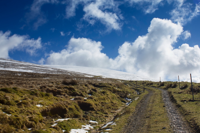
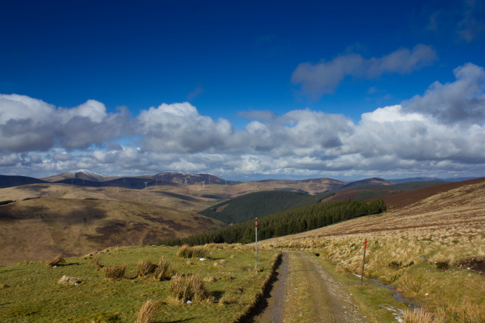
From Moffat it was just over 20 mile up the road to the Megget Stone, where I had parked on my first visit to Broadlaw, this time I was planning on parking about a half mile past that, which would enable me to walk in via the location of another piece of the Miles Master* that I didn't find last time as it's on the other side of the hill.
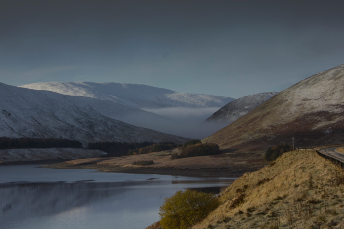
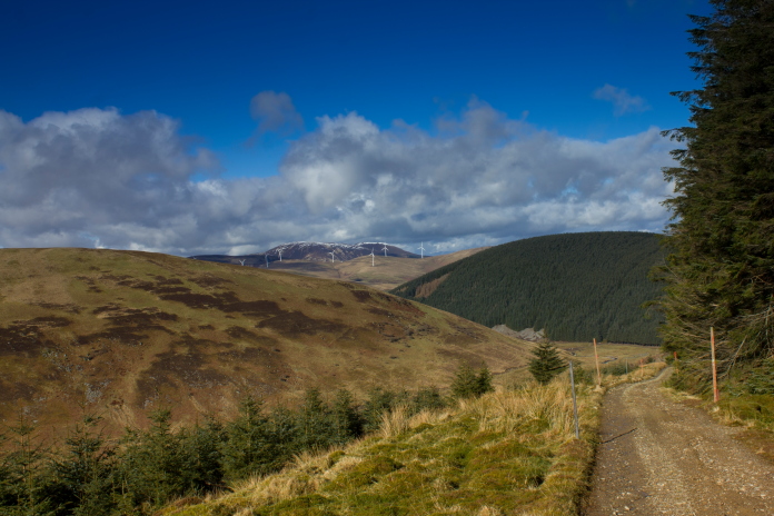
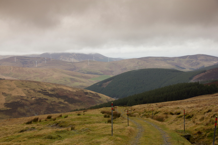
Passing Megget Reservoir.
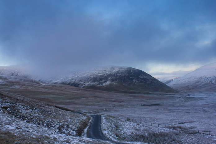
Even before I'd reached Moffat I was beginning to have doubts about finding the crashsites as driving up the M74 I could see that some of the hills were covered in snow. I had my fingers crossed that the snow had missed Broadlaw, or at least that it would only have a light dusting on it. After dropping the girls off at Moffat I arrived at my starting point and was a little more optimistic as it seemed that the snow was not too bad, patchy and not very deep. However the area was covered in cloud and the temperature gauge in the car was reading -6, so because of the poor visibility I decided against my planned route and instead started off from the same place as my last visit so that I could follow a familiar route.
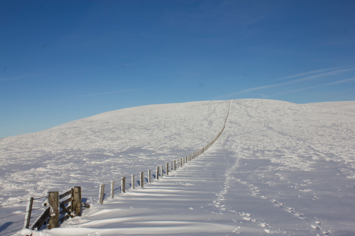
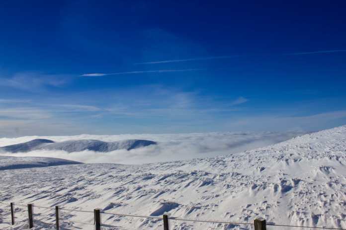
The one and only parking place at the Megget
Stone was occupied so I had make another diversion to park about 100 yards down the road.
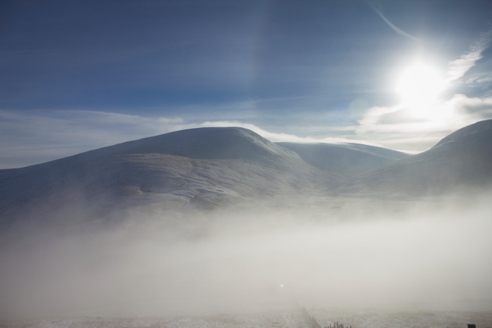
I was beginning to contemplate leaving this expedition for the next year with the hope of a slightly warmer day with better visibility. A strange phenomenon in the cloud which was shaped like a rainbow made me think that perhaps the sun was about to make an appearance so it might be worth taking a walk up the hill, on the off chance that I may at least get some nice photos in the snow.
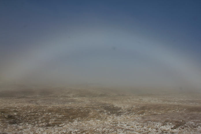
Strange 'Cloud Rainbow'.
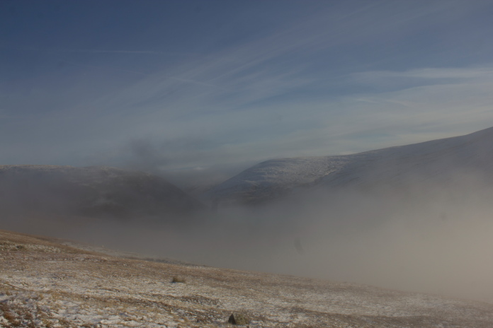
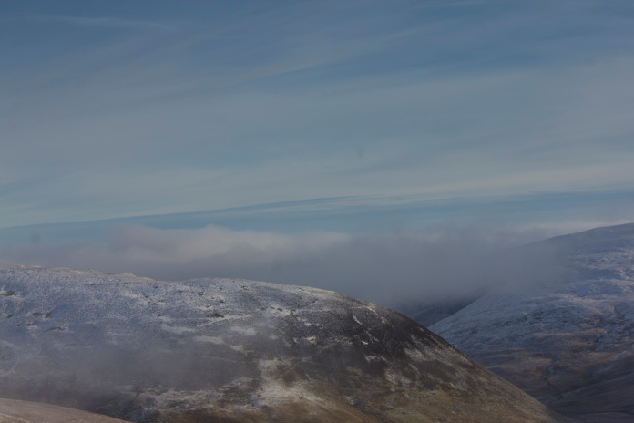
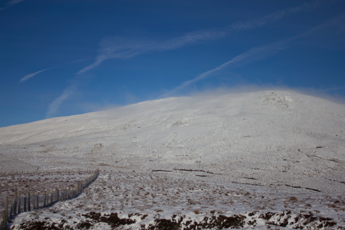
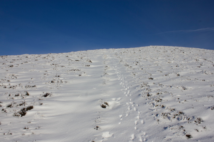
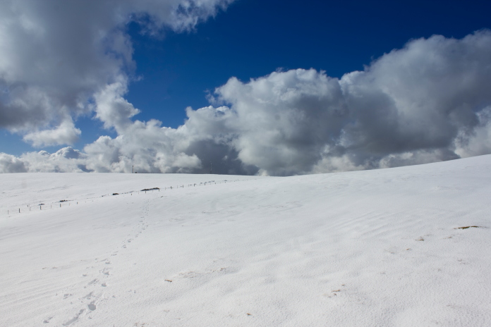
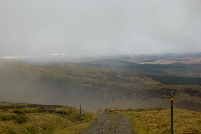
The route from the Megget stone to Broadlaw involves first going over the top of a small hill called Fan Law, even before reaching the top of Fan Law I emerged above the clag that was loitering in the Glen.
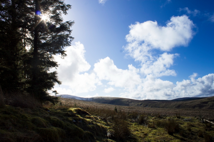
above and below:- Above the clag and into the sunshine already.
Once out of the cloud and into the sunshine the temperature was surprisingly warm despite all the snow, in fact the snow seemed to be reflecting the suns heat back up, so I was soon stripped down to my shorts and T-shirt.
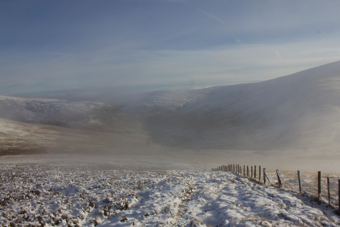
above and next 3 photos:-Some of the 'hoped for' nice photos taken on the ascent of Fan Law.
Walking from Fan Law across to Broadlaw I was kept entertained by trying to identify all the aicraft that were flying overhead. It appeared that everyone was flying over the top of Broadlaw on their way to wherever they were going, perhaps this was because of the large ATC Beacon that is located on Broadlaw's summit.
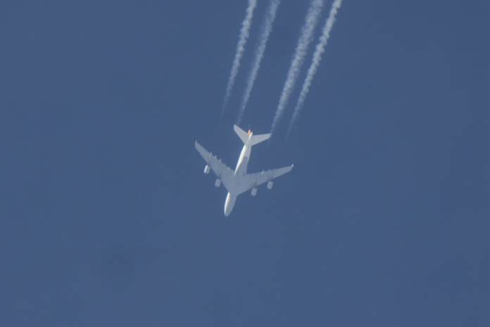
A Lufthansa Airbus A380 out of Frankfurt on its way to Los Angeles.
Not only did I manage to identify an Airbus A380 but because I took a photo of it I was able to zoom in on the original high res image when I got home and make out the Lufthansa emblem on its tail. Then I had a look at the Lufthansa timetable and worked out that the only flight that could have possibly been over Broadlaw at that time was from Frankfurt to Los Angeles; a bit sad on my behalf I know but I've got to have something to ramble on about on my website!
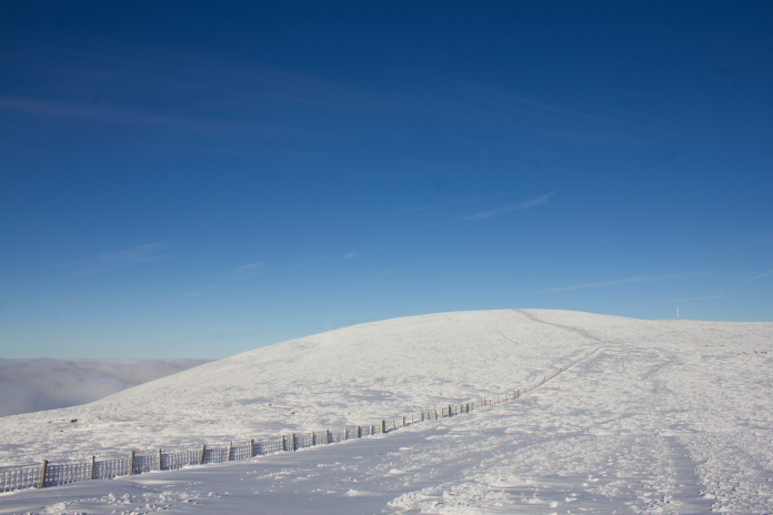
Broadlaw from Fan Law.
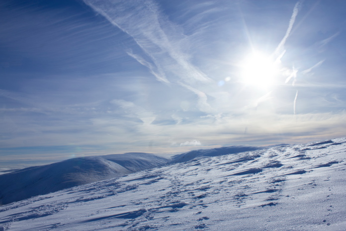
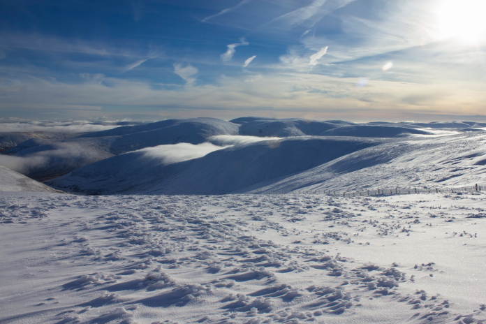
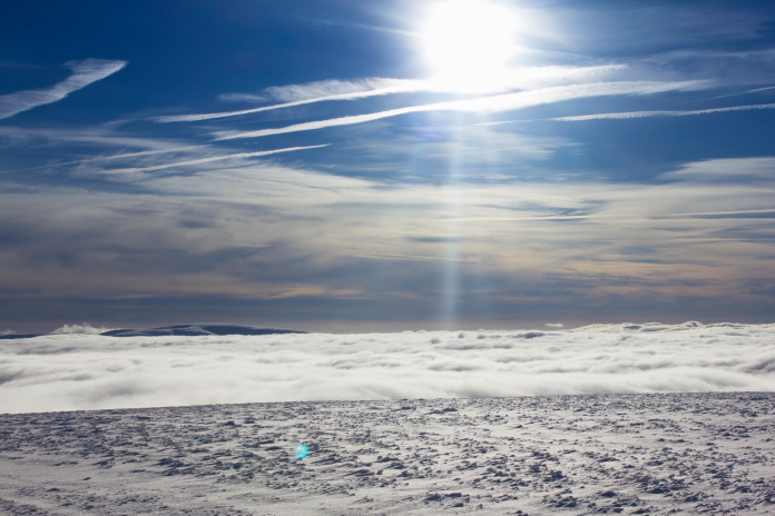
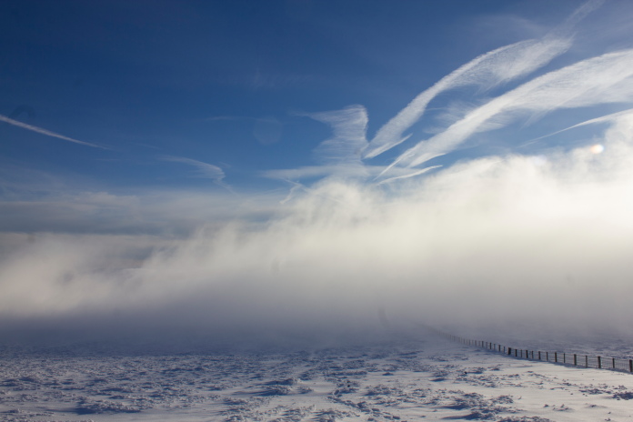
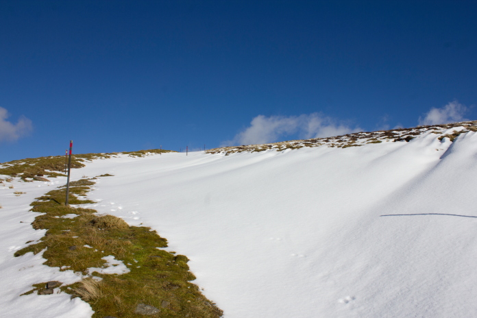
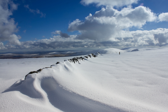
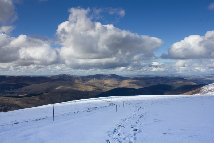
As soon as I hit the ascent onto Broadlaw itself the snow started to get deeper and deeper, but the views which were already quite impressive started to get better and better and over to the west was a spectacular cloud inversion. I decided to forget about finding the DH60 crashsite, as it was undoubtably going to be under snow, and just visit Broadlaw summit instead.
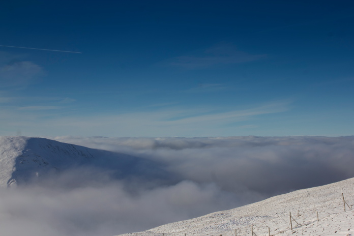
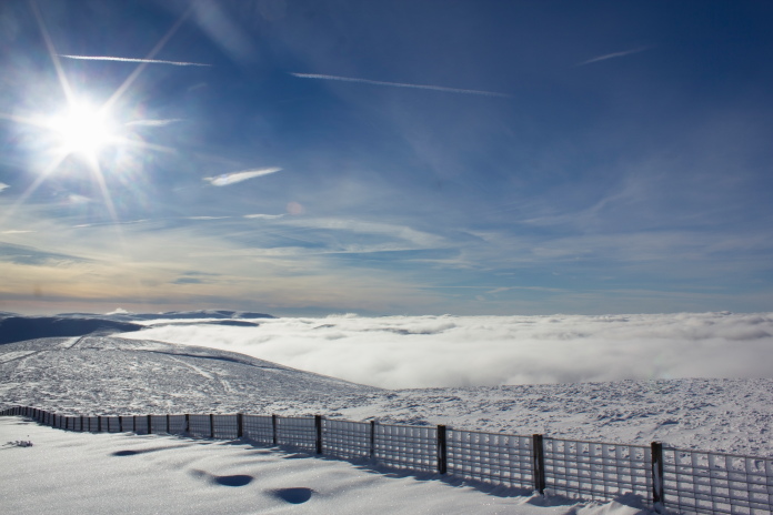
Cloud inversion over to the west.
Fan Law at the bottom left of the photo doesn't look like much of a hill from here but it gets the blood pumping at the start of the walk.
At the start of the final ascent of Broadlaw I followed some Bunny tracks as it seemed to know where the snow was firmer. I think this Bunny was into hillwalking as the tracks were leading onwards and upwards.
Following the Bunny tracks up Broadlaw.
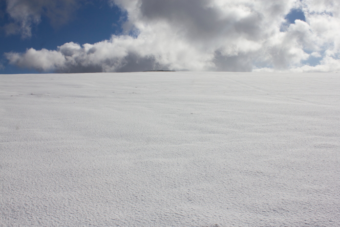
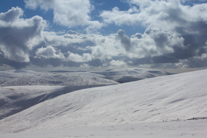
After an initial steep ascent onto an area known as Cairn Law the gradient levelled out a bit but the snow became deeper still, about a foot at best but about 3 feet where it had been drifting. As I wasn't equiped for walking through deep snow I decided to call it a day here as I didn't fancy walking any further with boots full of snow because of my lack of gaiters.
About to cross a deep drift.
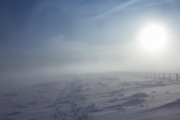
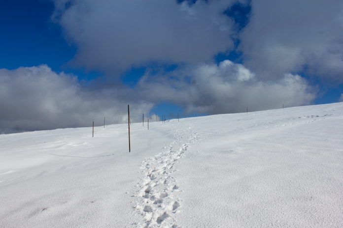
As I turned about to head back down the hill I spotted some footprints a little further to the west beside the fence, presumably made by the people who had knicked my parking spot at the Megget Stone. So I figured by placing my feet in the footprints I would be able to continue up the hill without acquiring bootfulls of snow and it also meant it wasn't as much hard work as the snow was already compacted and I could see where their boots had gone through the snow into bogs .
Above and next two photos:-Some more nice photos taken on the ascent of Broadlaw summit.
About a mile from the summit I passed the two people who'd very kindly made the tracks for me,they had been to the summit and were on their way back down. I thanked them for making the footprints and as they were following their own path back down the hill their tracks after I passed them were larger and firmer, just as well because the snow was even deeper.
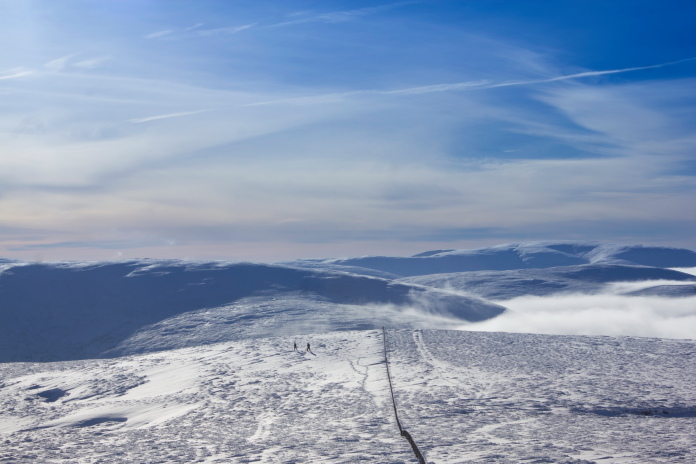
The two parking spot pinching walkers on their way back down off Broadlaw.
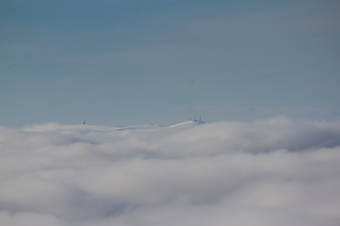
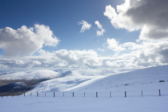
View across the tops of the clouds to Lowther Hill with the golfball
on its summit and Green Lowther with the masts, I'd previously visited the crashsite of a Hurricane on Lowther Hill**.
The very top of another hill protruding through the clouds.
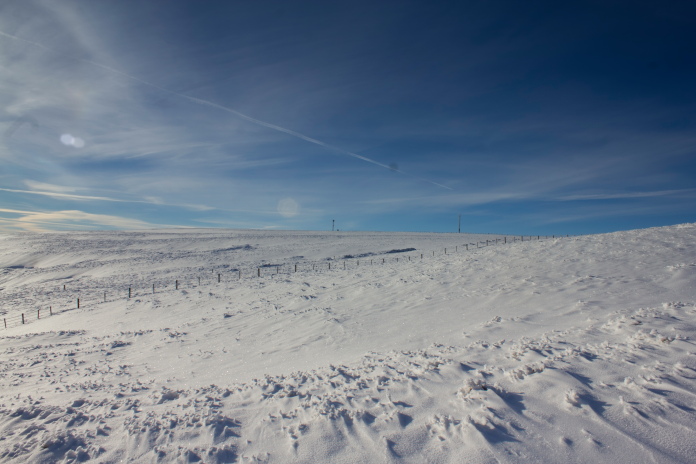
Broadlaw summit, this last stretch was very hard going even with the aid of the footprints.
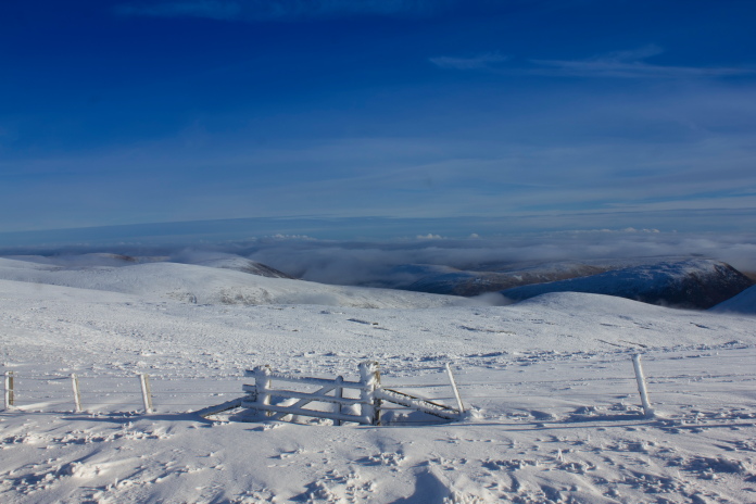
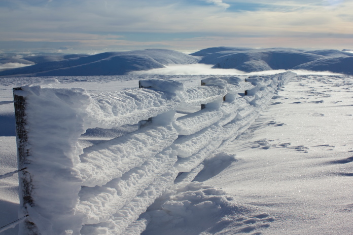
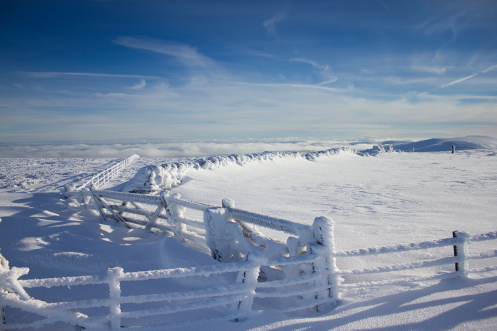
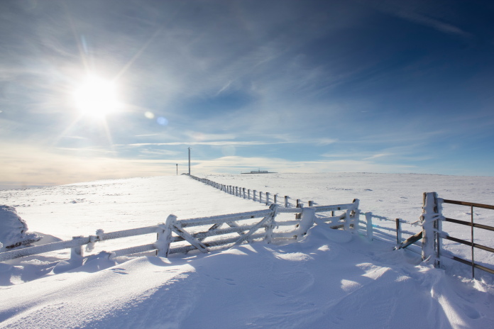
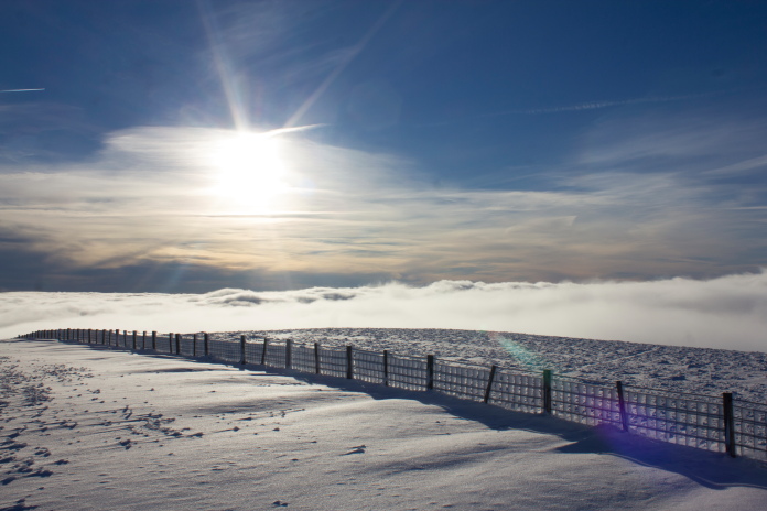
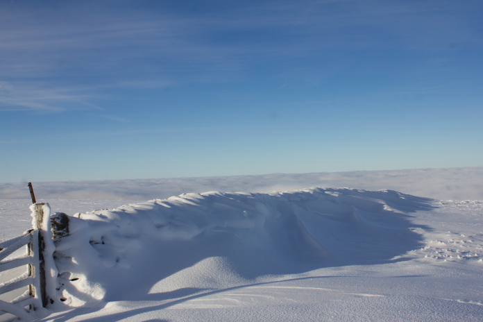
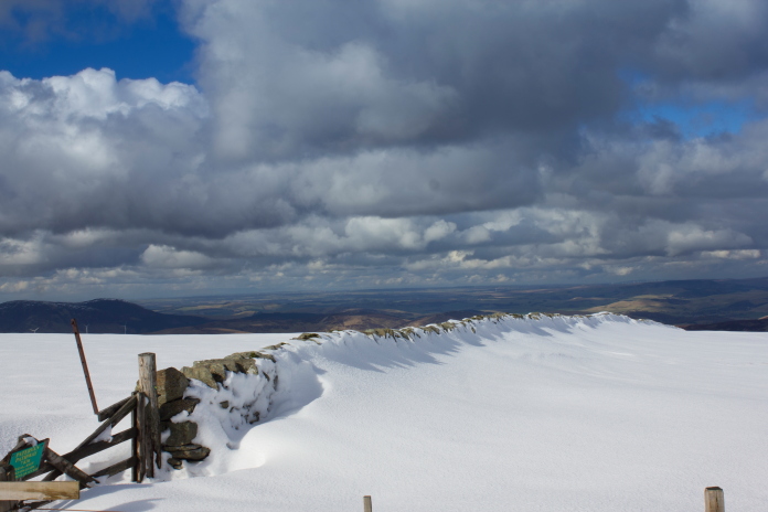
Above and below:-Because of the build up of ice this fence looked very much like a birdseye potato waffle.
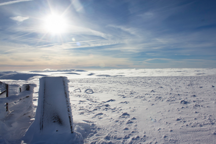
The trig point on Broadlaw summit.
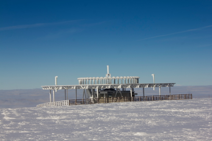
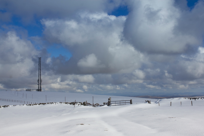
above and below:-The NATS Air traffic control beacon.
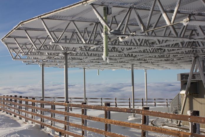
The NATS access road.
As I was so close to where the DH60 crashed I figured I may as well go and have a look, especially as it was so enjoyable up here with the sunshine, snow and spectacular cloud inversion. One drawback with continuing past the trig point was there was no footprints to follow, so I was continually having to scoop snow out of the tops of my boots before it melted and soaked my feet.
The DH60 crashite is to the left of the fence about where the ground starts to drop off.
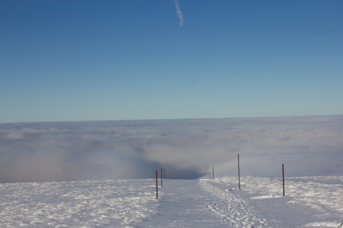
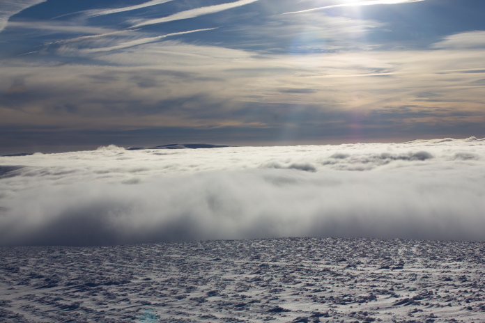
There is also a cloud inversion off to the east now.
I was hoping the snow up here might have been blown off making it shallow enough to be able to spot a piece of wreckage sticking out of it, but no such luck so another one for my failures list.
Above and next two photos:-The crashsite was under one of the snowdrifts in this area.
The NATS Station on Broadlaw summit taken from just above the DH60 crashsite.
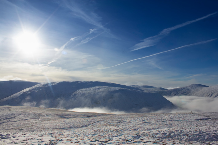
 As
the day went on the cloud inversion just got better and better.
As
the day went on the cloud inversion just got better and better.
The top of Broadlaw looks like a beach and the clouds a stormy sea.
Passing the potato waffle fence on my way back to the pug.
A lot more cloud down there than when I left.
I wasn't looking forward to dropping back down into the clouds remembering how cold it was when I set off in the morning, and indeed as soon as I began to enter it I could feel the temperature plummet so the hat gloves and fleece where quickly put back into service.
Above and next two photos:-Back down into the cloud.
Emerging from below the cloud, the weather
was not quite as nice down here.
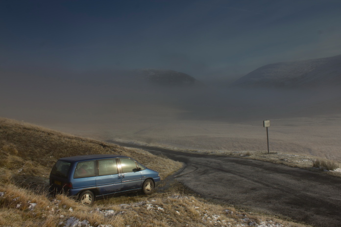
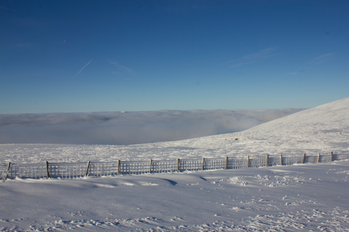
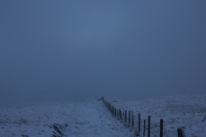
Back at the Megget Stone, Blueberry Esmerelda Muffin II can just be seen parked
opposite the signpost..
This was one of those walks that seemed like it was doomed from the start but I was pleased I eventually decided to 'have a walk up the hill' in the end. The dissapointment of not being able to add another crashsite to my list was more than compensated for by the spectacular views I experienced on the tops and by the beautiful weather; well beautiful weather above the clouds anyways!
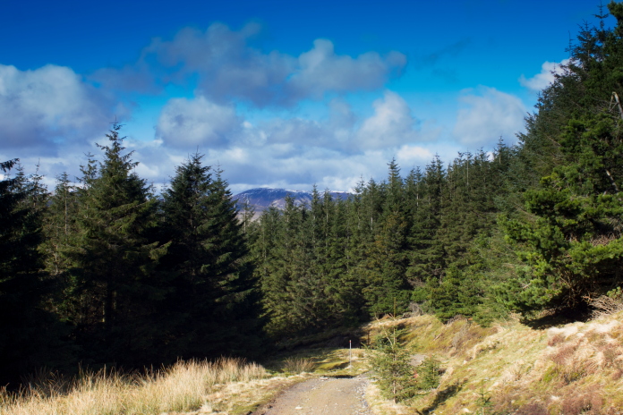
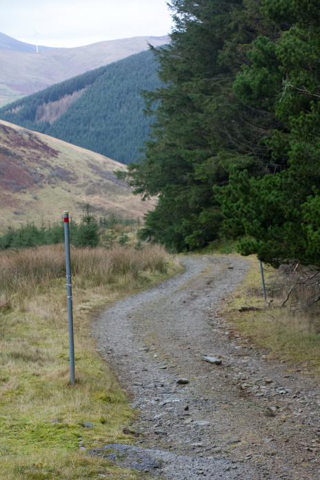
Next 21 photos:-Back again in February 2017, approached from Hearthstanes
Farm up the NATS Access road this time, same outcome thanks to the snow.
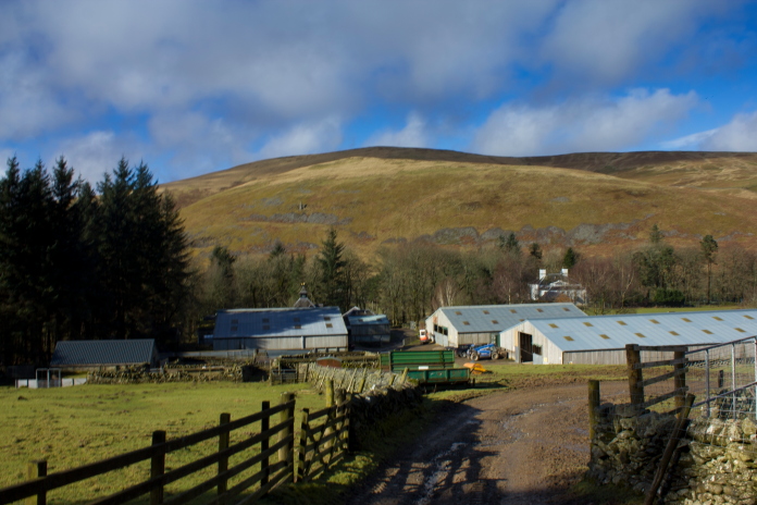
Hearthstanes Farm
Nice and sunny from the off this time.
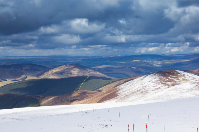
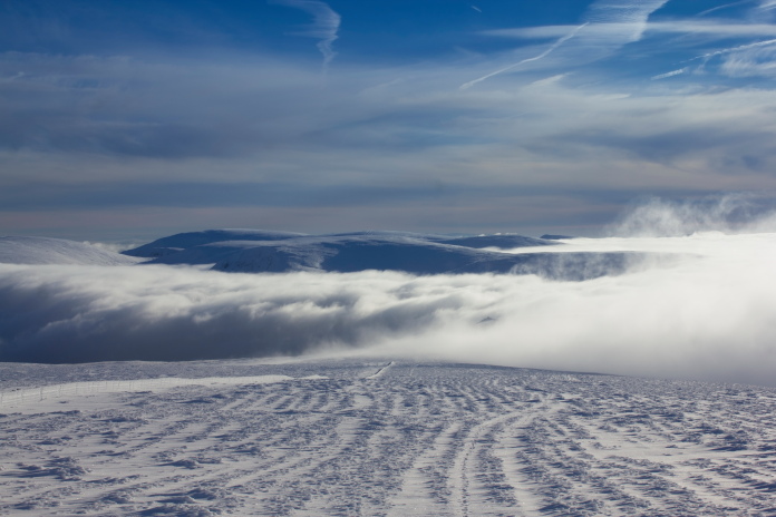
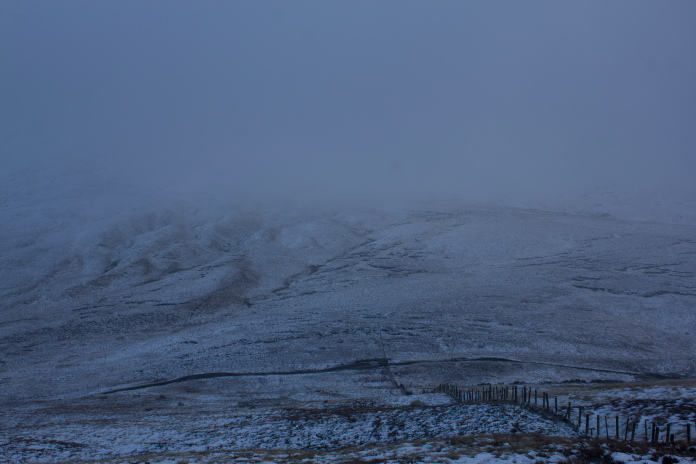
Above and Below:-View down to Little Knock from the ascent of Broadlaw, the location of Harvard FT401's crashsite is circled***.
Above and next 3 photos:-The snow in the area of the DH60 crashsite was deeper than on my visit in November 2016.
The area where the ANEC Misselthrush crashed, I didn't bother going over there for a look.
 Back down again, will have to be fourth time lucky for this one.
I was back to Broadlaw yet again in December 2018, this time there was no snow to be seen so I had my fingers crossed it would indeed be 4th time lucky.
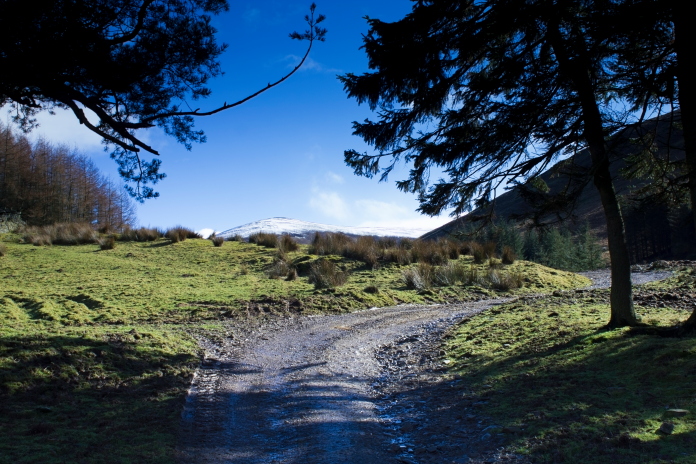
Off up the track from Hearthstanes Farm again.
Trying out my new 18-135mm lens, the drab weather didn't give it much of a chance.
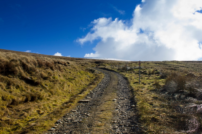
Although there was no snow on Broadlaw this time it was a lot colder than on my two previous visits thanks to a rather nasty windchill which became worse the higher up the hill I walked.
above and below:-Rather chilly on the exposed parts of the hill.
On top of Broadlaw, almost but not quite out of the top of the cloud.
As well as visiting the crashsite of the DH60 I was also planning on having another look for any remains of an ANEC Missel Thrush which also crashed on Broadlaw not too far from the DH60.
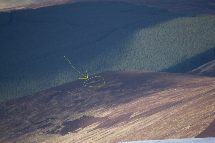
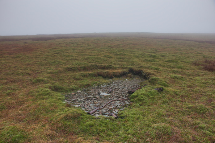
Above and below:- Fragments of DH60 Moth G-ACGD on the top of Broadlaw.More wreckage photos.
By the time I'd finished taking some photos of the DH60 crashsite I had donned all of the spare layers I had in my rucksack as it was very exposed on the top of the hill and also very very cold thanks to the windchill. No spare layers = get off the hill in my book so I abandoned my plans to go looking for Missel Thrush remains and beat a hasty retreat back down the NATS access road.
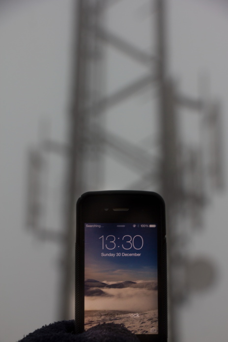
Seems that standing under a mobile phone mast doesn't insure a decent signal.
The photo on my phone is one I took on my previous visit to Broadlaw, much
nicer weather despite the snow.
Technically this was actually my fifth attempt at finding this crashsite as I did go looking for it on a completely different hill called Dollar Law and although I found wreckage there it turned out to be from a different aircraft which had been listed incorrectly in my reference book as being this DH60****
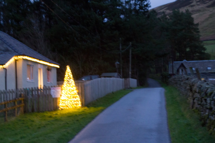 Passing through Hearthstaines Farm, a festive photo to finish off my hiking trips for 2018.
**-Lowther Hill
***-North American Harvard FT401