Wild Berries and water.
Short Sunderland W4026 on Cnoc Duin.
AW Whitley P5070 on East Scaraben.
EE Canberra
WT531 on Spot a Chuil/Scaraben
(Distance covered =
12.0 mile/Ascent =+1197m)
Day 3 on my 2018 walking Holiday in Caithness and Sutherland. Target for today was 4 crashsites in the area of a 2053ft Mountain called Scaraben.
As our plan was to do a large circular route we were able to cut out a couple of miles of tarmac bashing at the end of the walk by adopting a two car strategy. We parked Stuart's car at a little Hamlet called Braemar then drove back up to the start of our walk in my car, which we parked in an abandoned quarry next to the road.
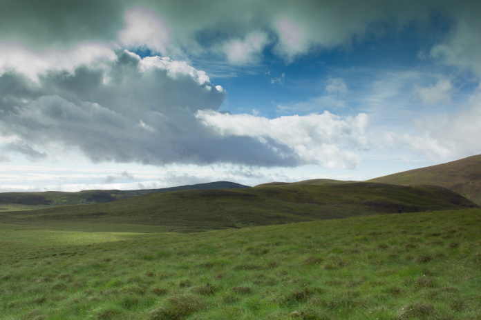
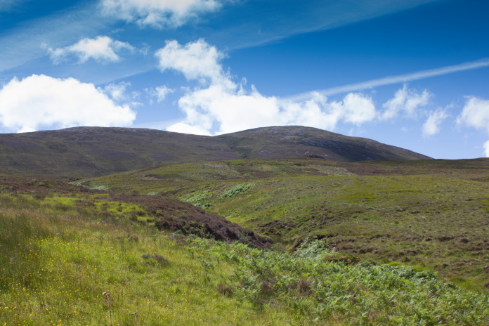
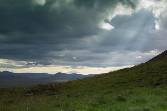
 View across to East Scaraben from the quarry, Scaraben is to it's right with it's summit in the clouds.
Our plan nearly became unstuck before we'd started when an over zealous Gamekeeper pulled up in his pickup and told us very abruptly that we wern't allowed to park in the abandoned quarry and the only place we could park was 2 mile down the road in the carpark at Braemar, where we'd left the other car. We couldn't see any reasonable logic in his request as the quarry was quite obviously abandoned and unused and on a very quite road miles from anywhere, so we waited till he drove off, moved the car to the edge of the quarry to be sure it wasn't causing an obstruction and set off on our route as planned.
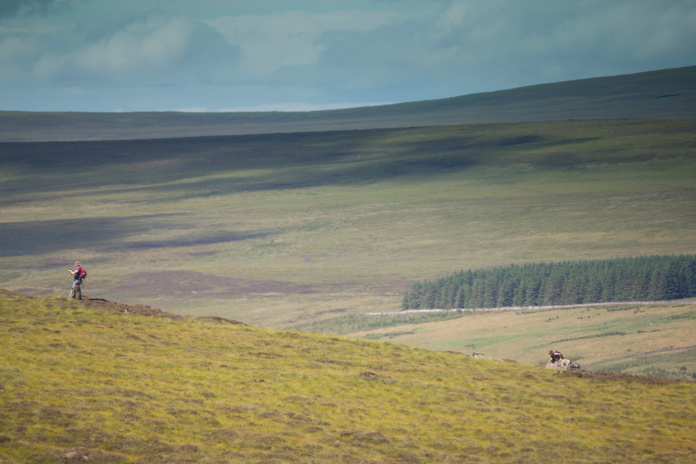
Off towards the top of Cnoc na Feadaige.
When we reached the top of a hill called Cnoc na Feadaige we spotted Mr McGrumpy the gamekeeper coming back up the road so we commenced covert operations, concealed ourselves from view and watched through the binoculors to see if he stopped when he noticed we were still parked in the quarry, he didn't.
The Whitley crashsite is near the top of the first bump
to the left, the Canberra is over the other side of the bealach between the second and third bump.
Before tackling the Scarabens we made a diversion to the east to have a look at where a Short Sunderland flying boat had crashed. This is a well known crashsite as one of the casualties was the Duke of Kent, and because of this there is a large memorial cross dedicated to everyone that was lost and a bit further north hidden out of view is a smaller marble slab placed at the location the Duke of Kent's body was found.
Approaching the Sunderland Crashsite, it's
on the bump in the centre of the photo middle distance.
The Sunderland crashsite is on a small hill near Cnoc Duin. We only expected to find the memorials as the site was thourougly cleared up during the war at the request of the King, they even replanted the heather, but there were some small fragments lying in a scar adjacent to the marble slab and a few more to the south, lying in the impact gouge where the Sunderland first hit the hill.
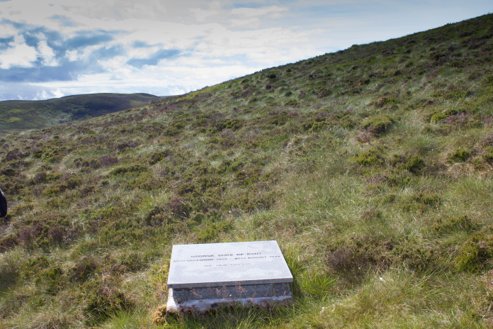
Marble Slab dedicated to the Duke of Kent.
this is placed where his body was found.
Above and below:-Scar containing some fragments of the Sunderland, this is near to the marble slab.
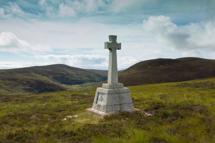
Memorial cross, the Sunderland flew up the Glen
in the background.
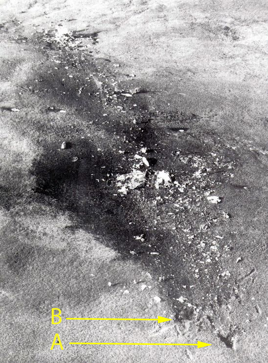
Aerial photo taken at the time of the crash. The Marble slab is placed
where the wreckage is at the top left of the photo and the large
cross in the area of the bulk of the wreckage in the centre. A+B are the
impact gouges shown in the photo below.
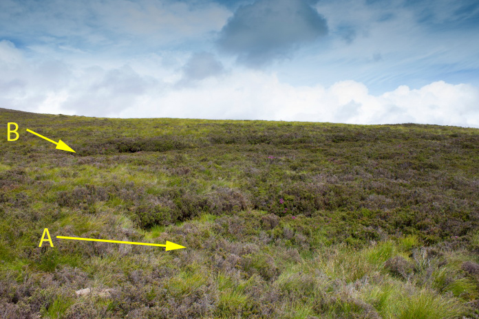
Impact gouges where the Sunderland first hit the hill, seen at the bottom
right of the photo above.(more
crashsite photos)
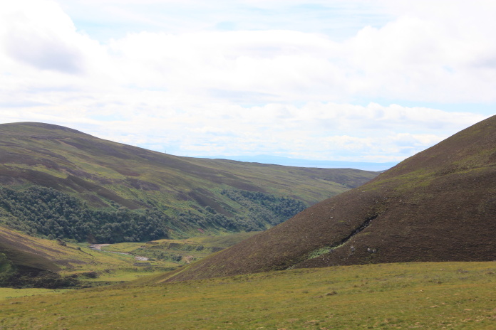 Photo taken at the impact gouge looking back in the direction the Sunderland came from.
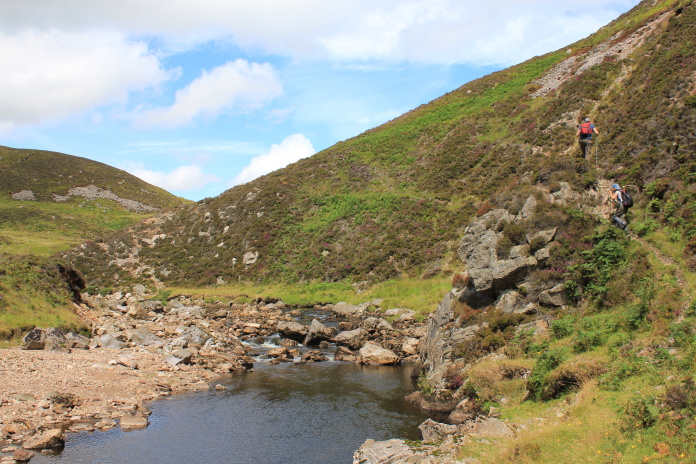
Our next objective was the crashsite of an Avro Anson on the lower slopes of East Scaraben, before we could reach this we first had to find a suspension bridge over to the west of where we were, which we needed to get across Berriedale Water.
Dropping down into the Berriedale Water glen.
Walking from the Sunderland crashsite across to the suspension bridge took
a lot longer than it should have thanks to a combination of:
1-It was
very warm and sunny.
2-It was a very beautiful walk along the Glen.
3-There
was an
abundance of Blaeberries which we kept stopping to eat.
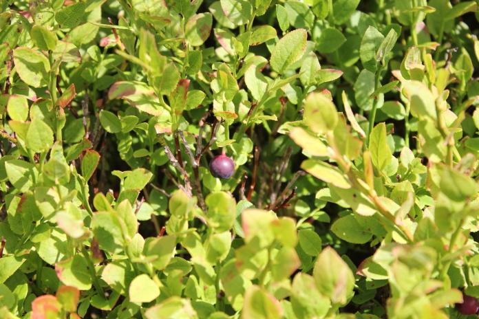
A Blaeberry, we had eaten the rest before I thought to take a photo.
A delightfull walk alongside Berriedale Water.
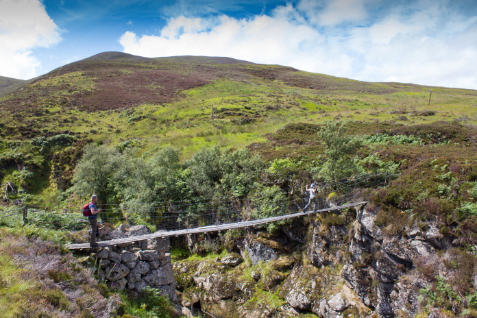
The suspension bridge, shame I've already used the Indiana Jones title
on one of my webpages*.
Once across the bridge there was a farm track to follow west, there was also livestock in the form of sheep, which mean't the possibility of Clegs. Not having learn't my lesson from the previous days visit to a B17 crashsite near to Loch Rangag I was wearing my shorts again, so it wasn't long before I was feeling the now familiar pinpricks on my calves as the little shits started biting me.
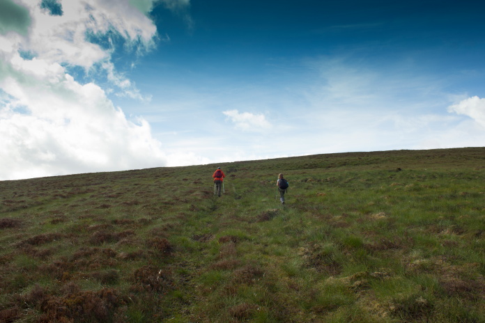
Time to head uphill and get away from the clegs.
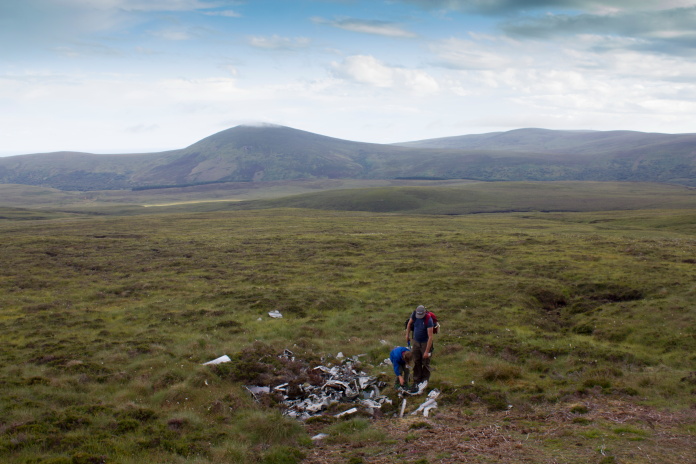
We were pretty confident of finding some pieces of Anson as we had a grid reference and Stuart had been here previously and found some bits of it, but on this occasion we found nothing, despite doing quite a thorough search of the area.
Stuart and Chloe searched west of the Dubh Allte burn while I searched east.
By the time I had given up searching for the Anson on the north eastern slopes of East Scaraben I was quite a way further up the hill than Stuart and Chloe who had searched a little further to the west, so I was able to have a nice long rest in the sunshine while they caught up. Then it wasn't much further to climb before we started to find the first bits of Whitley.
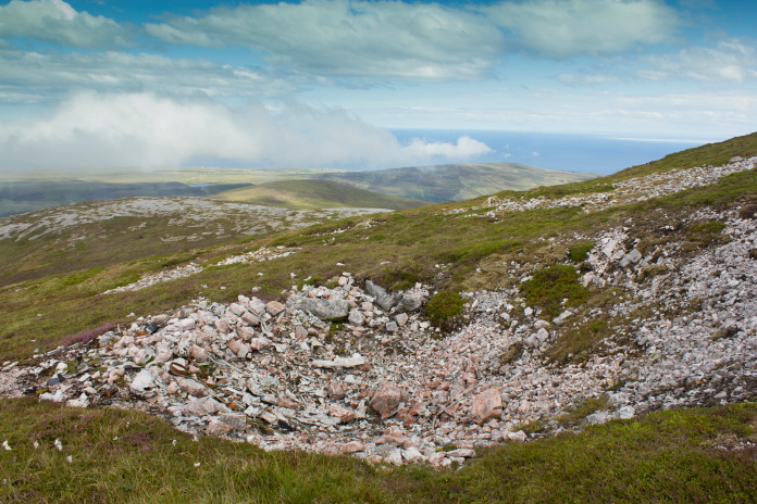
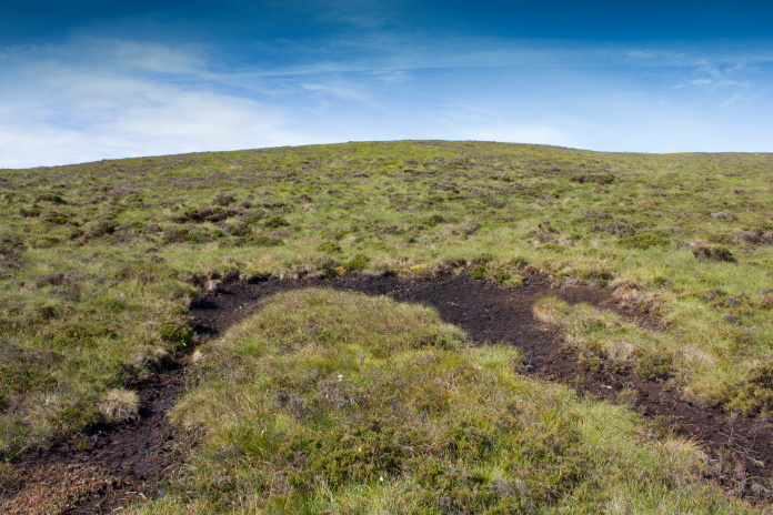
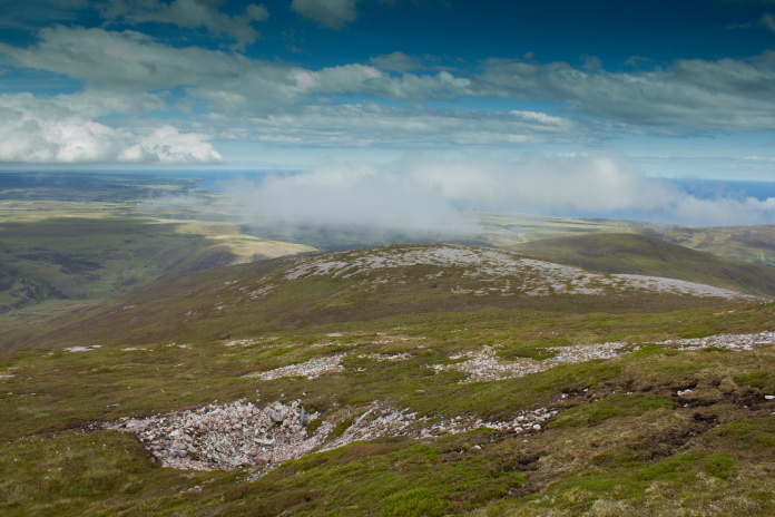
above and below:- large crater on East Scaraben, one of the mines the Whitley was carrying was exploded here then wreckage was chucked in the crater.
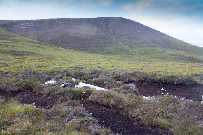
The Whitley had hit East Scaraben not too far from it's summit in an area of rocks that were a very similar colour to aluminium, so it was quite difficult to spot pieces from any distance away. It could be very easy to walk past this crashsite without noticing it.
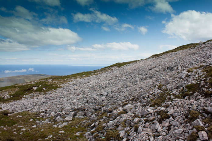
This area is littered with pieces of wreckage. As the rock is almost the same colour as the alluminium it
was very hard to spot, more so on a photograph!.
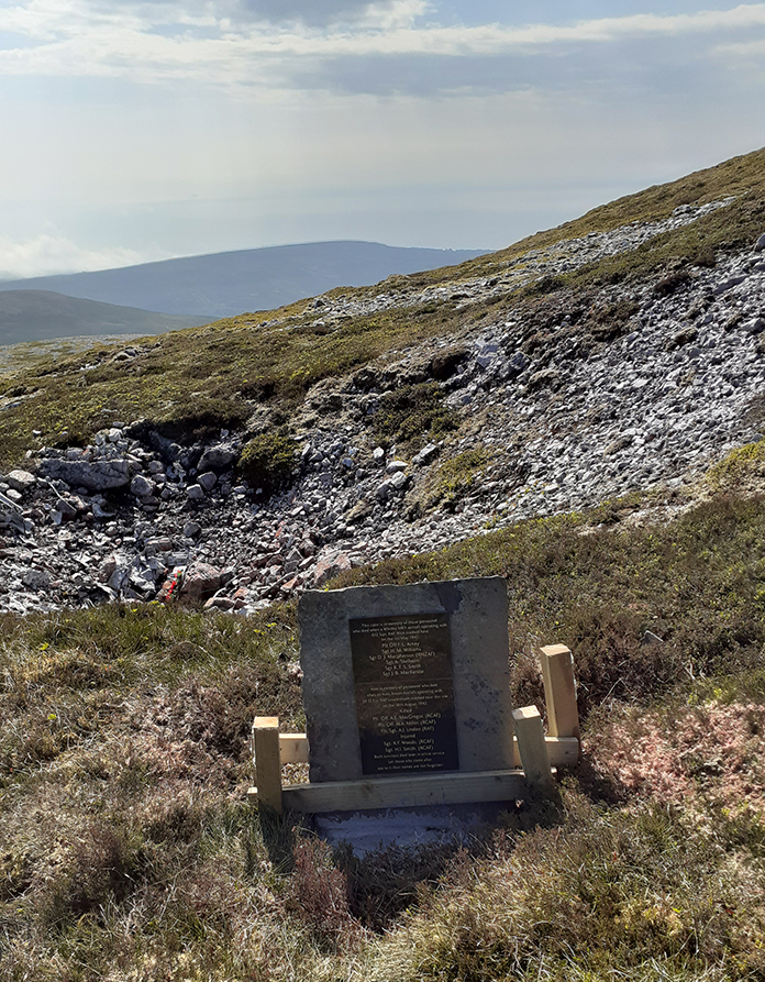
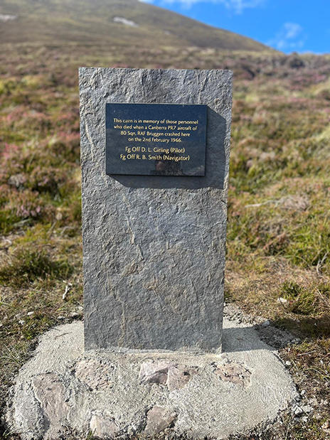
Since our visit a memorial has been placed at the crashsite of
P5070. Photo courtesy of James More, James spent 3 year persuading the
Welbeck Estate; who's land the crashsite is on, to erect this plaque,
which they did in June of 2021.
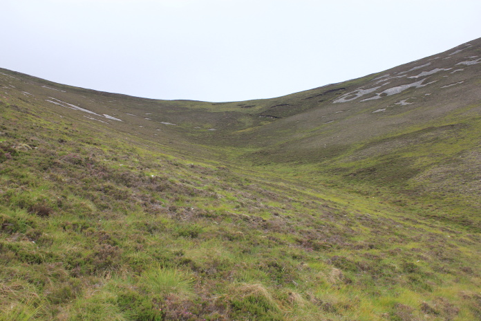
After the Whitley came the last crashsite on our itinerary for the day, Canberra WT531. To reach this we now had to go up and over the top of East Scaraben, then up and over the top of Scaraben, before dropping down onto the other side of the Mountain once we reached a bealach between Scaraben and Sron Garbh.
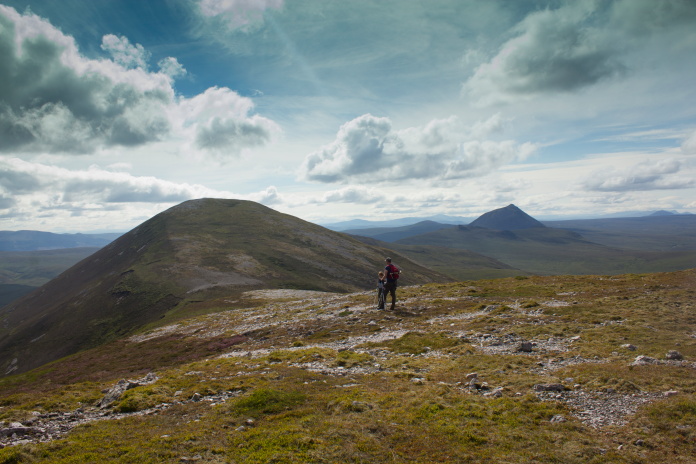
Walking over the sumit of Scaraben, the Canberra lies at the base of the steep slopes on the left.
We had already encountered Mr McGrumpy earlier and on the top of Scaraben we met Mr McGreedy. As well as there being Blaeberries on Scaraben and the surrounding hills there were also Cloudberries. Not as nice as blaeberries but bigger and juicier, which would have been nice as we had all run out of water thanks to it being so warm. Trouble was Mr McGreedy had been up here for a good few hours before our arrival and had picked most of them.
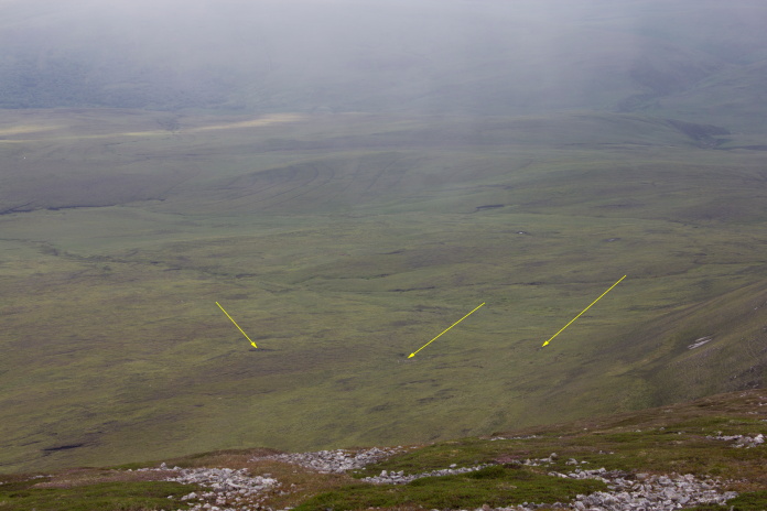
Three areas of Canberra wreckage visible from on top of Scaraben.
The area on the left being where it first hit the ground.
Stuart had been to the Canberra wreckage before and he remembered that
there was a burn that springs from under the ground half way down the steep
slope below the bealach. He had run out of water last time he was here as
well and described the water from this spring as the sweetest he'd ever
tasted. It appeared that the local population of Deer concurred with this
as there was a large herd of them drinking from the spring as we
approached.
It was kind of nice!
Approaching the first bits of Canberra below
Carn Garbh.
above and below:-More Canberra wreckage.(more crashsite photos)
The impact gouge where the Canberra first hit the hill.
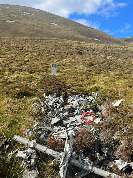
above and below:-A
new memorial stone and plaque has also been erected at the Canberra site
Photos courtesy of James More.
By the time we'd had a look around and took some photos it was after 7pm so it was time to put a scootle on back to the vehicles, especially considering we were now on the wrong side of the mountain.
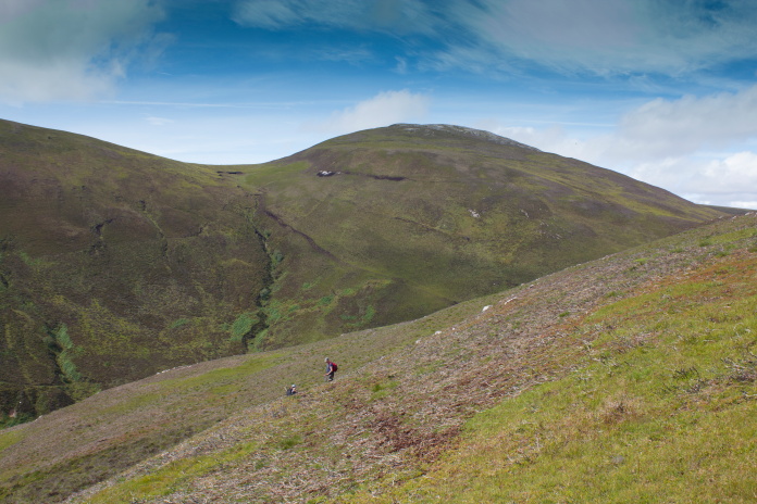
 It was a lot steeper and a lot further
back up to the bealach than it looks on this photo.
It was a lot steeper and a lot further
back up to the bealach than it looks on this photo.
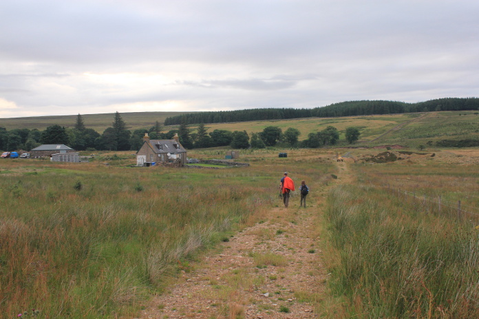
Thankfully because of our 2 car strategy and circular route we didn't have to go back over the Scarabens, instead we just had to go up and over the bealach between Scaraben and Carn Garbh. That said it was still a bit of a challenge going back up the steep incline so late in the day, but once we gained the baelach the hard work was done and although it was still 2.5 mile back to Stuart's car it was all downhill.
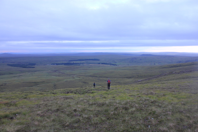
Back over the right side of the mountain, just a
2.5 mile bog slog left to do.
As we neared the end of our circular route we had to utilise a farm track to get back onto the public road, this track passed close to a small cottage, outside of which was parked what looked very like Mr McGrumpy's pick up. Preparing ourselves to run should he appear with his shotgun we were relieved when all we had to deal with was a Yorkshire Terrier on the front lawn doing it's nut at us as we walked by.