Curse of the Campervans.
AW Whitley BD678 on Ben Hutig
(Distance covered =
3.0 mile/Ascent =+236m)
Day 10 of my 2018 Holidays and time for a change of scenery as I made my way from the north east coast of Scotland up to the north coast.
In the following four days I was to
experience some spectacular walks right up the top of the Scottish mainland.
There was also some spectaclular scenery on offer whilst driving to the
start of these walks, and that was certainly the case on day 10.
The road to the start of my day 10 walk on Ben Hutig.
One negative aspect of there being so much spectacular scenery to see was there was a proliferation of campervans, they were everywhere and clogging every parking space there was to be found. So when I arrived at a car park that was marked on the map quite close to the start of my walk to Ben Hutig it was no surprise to find it full of the things. I had to run the risk of becoming stuck on a grass verge again as the only parking spot I could find was on a grassy area next to a small bridge.
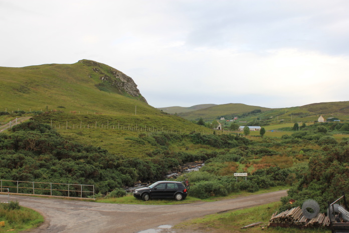
My parking spot, if it had of been a bit bigger there would have been a campervan on it already.
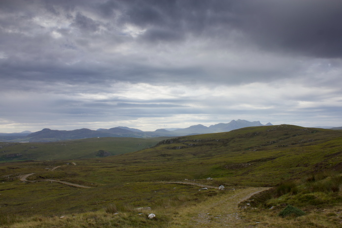
Having made sure I would be able to extricate the Golf from the verge on my return I set off along a farm track towards Ben Hutig and the crashsite of the Whitley. The weather on this day was a little overcast but it wasn't raining and the visiblity was good so there was canny views over the Kyle of Tongue to Ben Loyal and of the cliffs along the coastline.
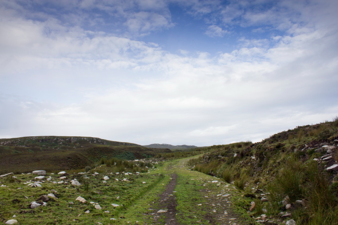
Above and below:-Nice farmtrack to follow which went about 2/3rds of the distance to the crashsite.
Once off the end of the farm track the going was still pretty easy with just a couple of burns to negotiate which were quite steep and deep the nearer the coastline they were, so I made a mental note to return a tadge further inland.
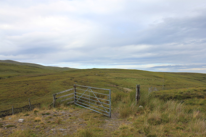
The end of the farm track, the Whitley crashsite is not too far from here.
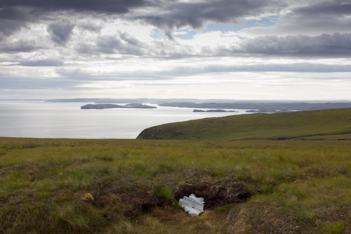
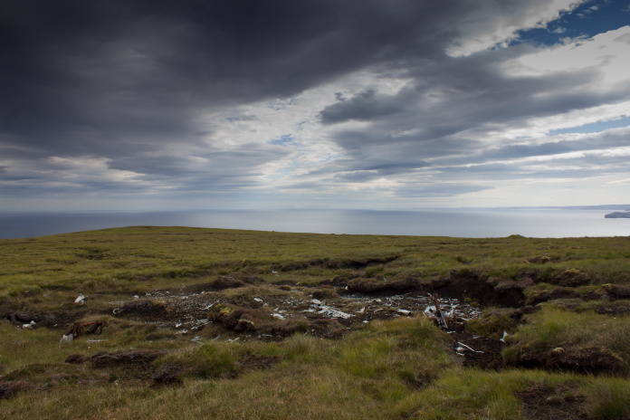
Approaching the area where Whitley BD678 crashed.
Although there is quite a lot of wreckage at this crashsite it was well hidden and impossible to spot until right on top of it. The first thing I came across were some windswept panels so I utilised the same tactics I used at another Whitley crashsite I'd visited* and walked into the wind until I came across the main bulk of the wreckage.
First bit of Whitley I came across, with some spectacular views along the coast behind it.
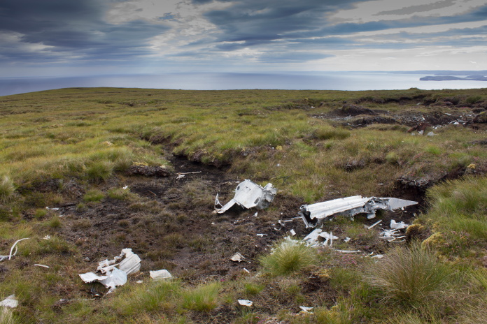
Above and below:-Crashsite of Whitley BD678.
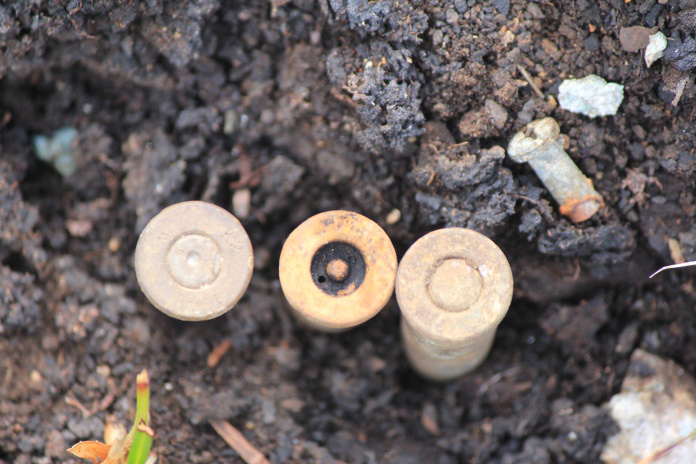
Above and below: .303 shell casings. Live round at the right, exploded in the fire(cooked off) centre and fired pre crash on the left. There was a lot of pre fired shells at this site.
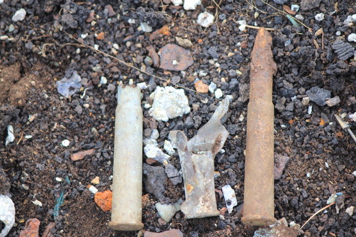
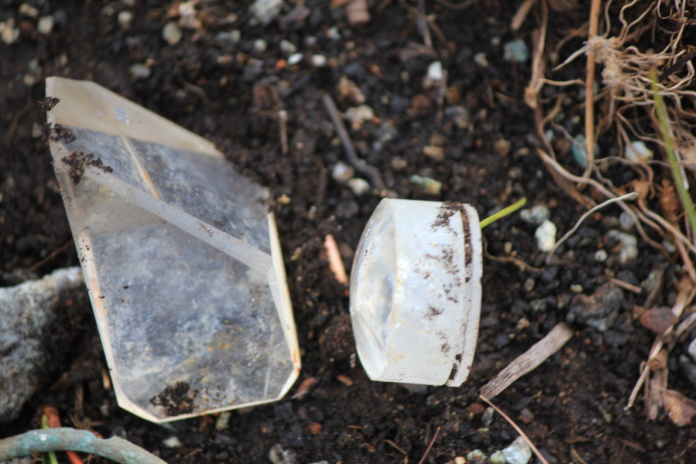
Prisms from an instrument such as a bombsight perhaps?.
After having a good look around the Whitley wreckage I considered taking a longer route back to the car via the summit of Ben Hutig, but instead I decided to save my energy and simply return the way I'd come as I had some longer walks to do in the next few days.
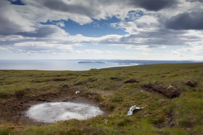
Almost back to the end of the farm track. The small Loch is 'Loch na h-Uamhachd'. Wouldn't fancy my chances of pronouncing that one correctly!
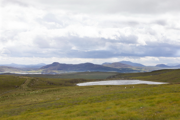
After finishing my walking on Ben Hutig I had to drive west along the north coast past Durness then south a little to reach the start of my Day 11 walk. I found a rather picturesque camping spot next to the Kyle of Durness which I had all to myself but as the day drew on the scourge of the campervan struck again as they started parking next to me one after the other. My lovely little camping spot became rather crowded so I continued down the road and found an even better spot which had superb views of Cranstackie across the Glen and as an added bonus was just too small for campervans.
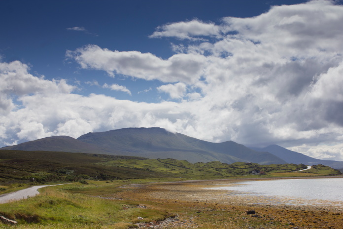
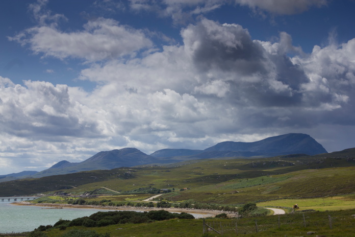
A scenic road at the top end of Scotland. This photo was taken at the camping spot I found beside the Kyle of Durness while on my way to the start of the next days walk on Cranstackie. The Mountain in the distance is Beinn Spionaidh with Cranstackie beyond it to the right with it's summit in the cloud.
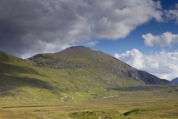
View of Cranstackie from my mkII Camping spot.