Time to go home.
Hawker Hunter XK151 on Keppoch
(Distance covered = 2.0 mile/Ascent =+281m)
Day 15 of my 2018 walking holiday and my second day on the Isle of Skye. My first day on Skye had been a total wash out after I suffered some attrocious weather and failed to find any sign of the crashsite I was looking for.
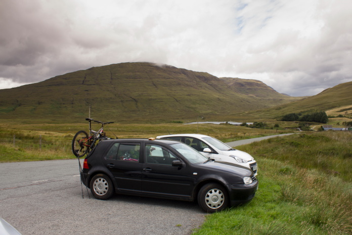
This day started off much better weather wise with patches of blue sky here and there and occasional glimpses of the sun. Parking proved to a bit troublesome but I eventually found somewhere about 300m east of where I needed to access the hill, but as this walk was only going to be a 2mile round trip that little bit extra was nothing to worry about.
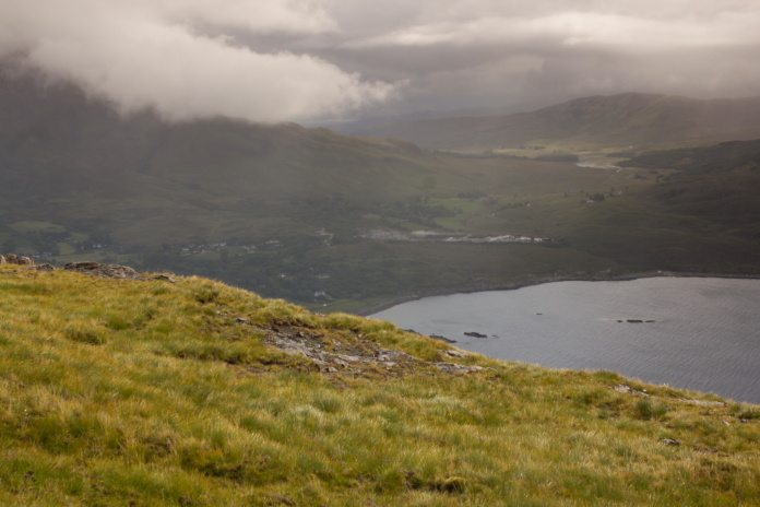
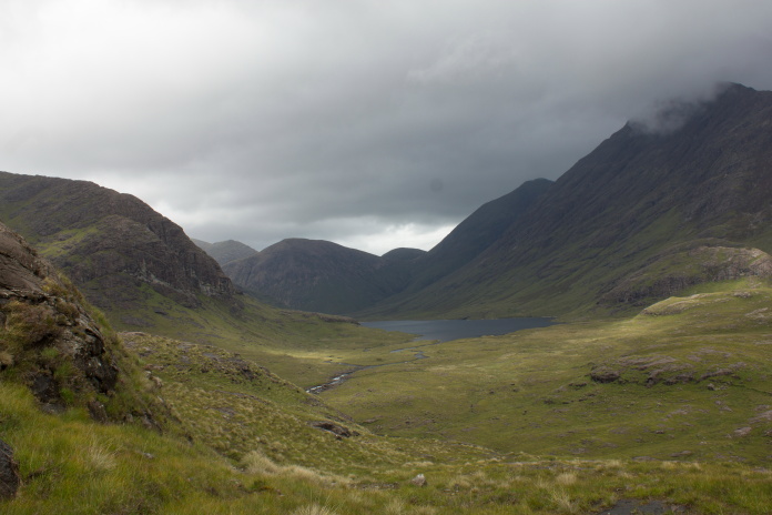
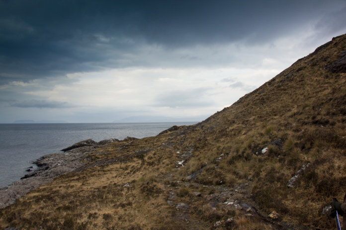
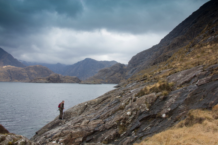
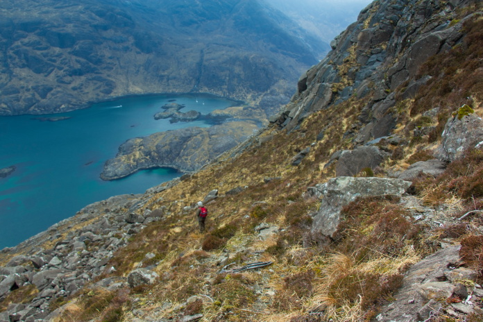
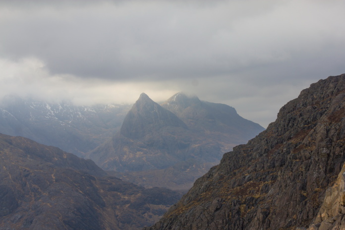
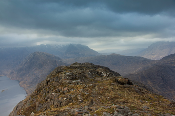
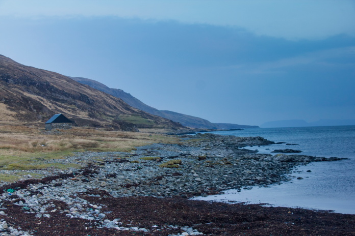
The Hunter crashed on the top of the cliffs in the distance at the right of the photo.
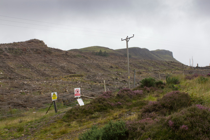
Having had a look at maps and satellite imagery before I came, the only
difficulty in reaching this crashsite appeared to be how to get up onto
the hilltop through the forest. On arrival I discovered this problem had
been removed for me, literally!
Sometimes walking through a recently felled forest can prove to be much harder work
than if the trees were still there but in this case there were caterpillar tracks from the bottom to the top which made the going very easy.
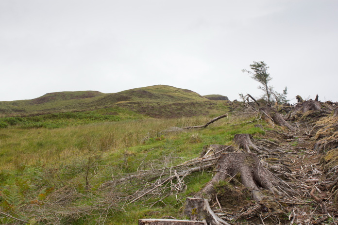
At the top end of the ex forest.
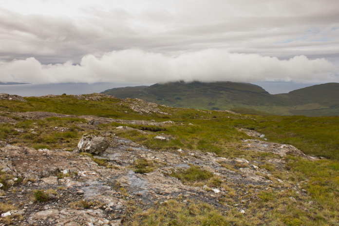
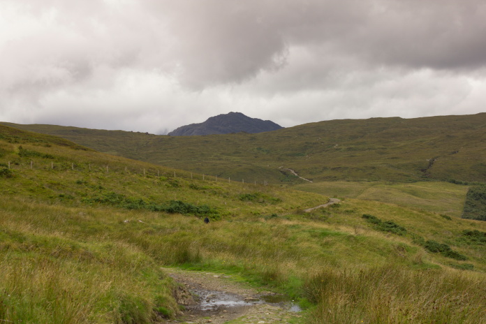
Once up and out of the top of the forestry it was a very easy and pleasant walk for the rest of the way up to where the Hunter crashed, and despite the surrounding landscape being shrouded in cloud and mist the hill I was on remained dry and was occasionally bathed in sunlight.
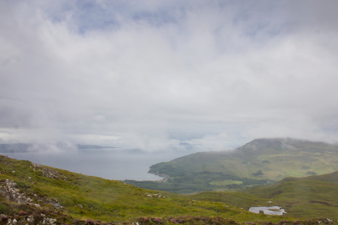
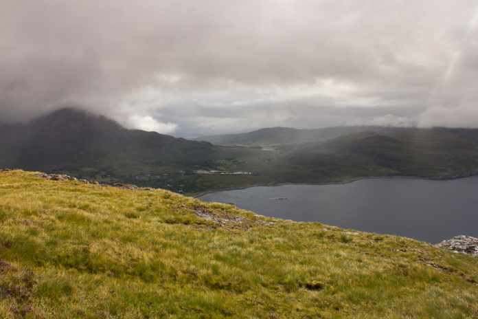
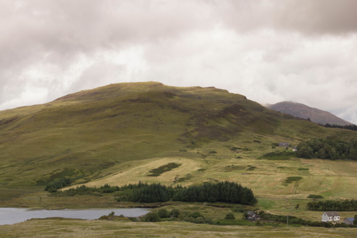
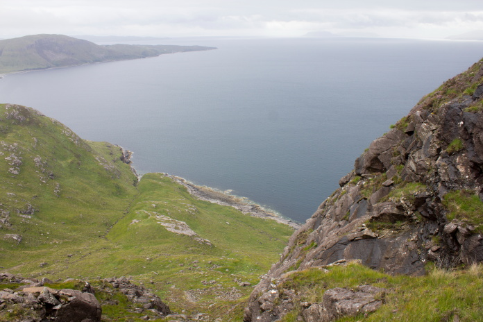
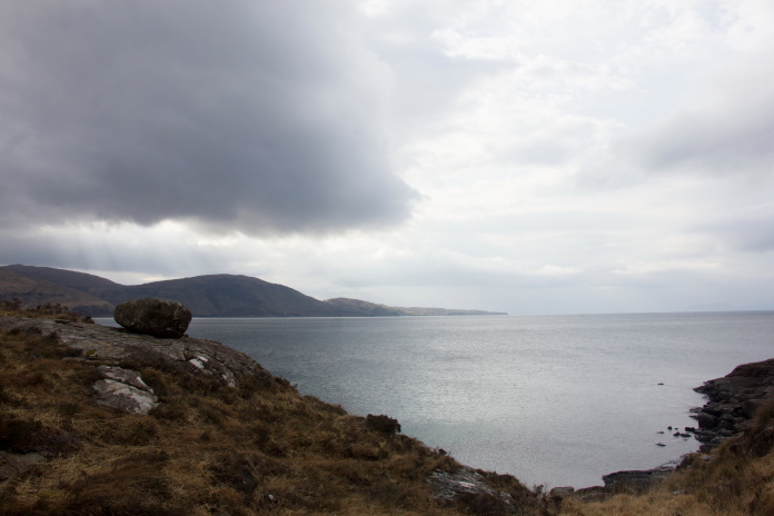
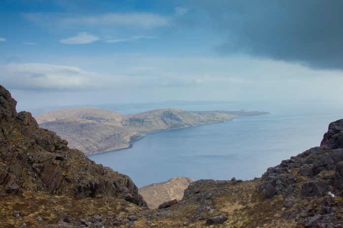
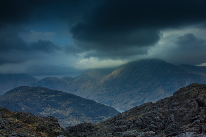
View south across Loch Slapin.
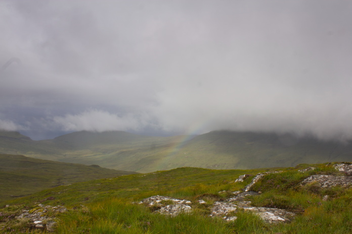
Rainbow off to the west.
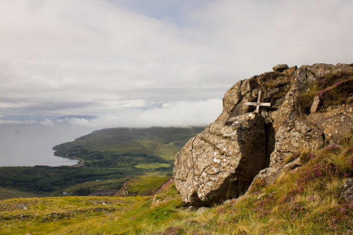
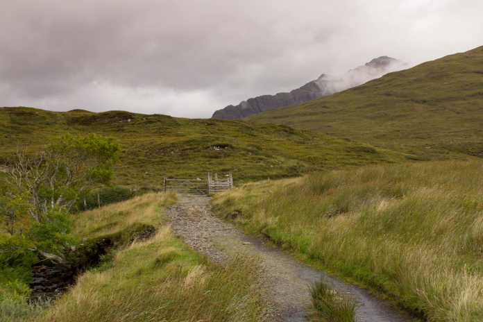
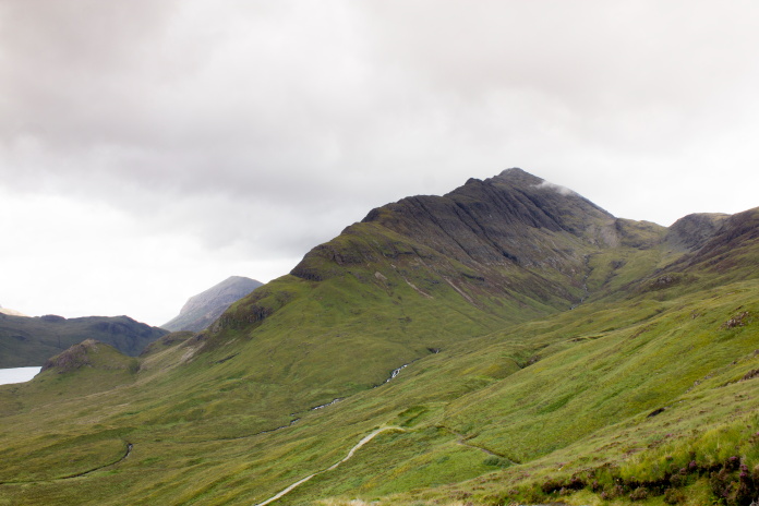
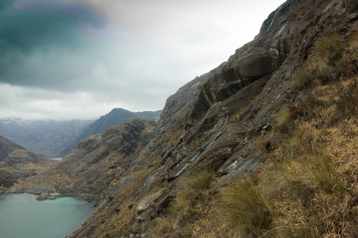
The Hunter crashed at the top of these vertical cliffs at the eastern end of
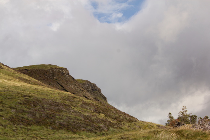
a small hill called 'Nead an Fhior-eoin' above Keppoch.
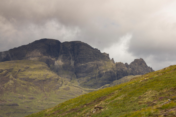
The scary looking slopes of Blabhein to the
north west of Keppoch.
above and below:- The impact scar where the Hunter hit the hill.
This crashsite was exactly where it was supposed to be so was an easy one to find. There is a scar containing some small fragment where the Hunter had first hit the hill then a little further to the south west is a memorial cross with some pieces collected at it's base. Continuing south west a couple of hundred metres beyond the cross was a rocky area with more small fragments scattered about. On a return visit to this site the following easter with Stuart Whittaker we would find a lot more wreckage including more turbine blades and a number of 30mm cannon shells.
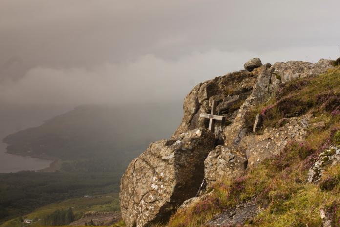
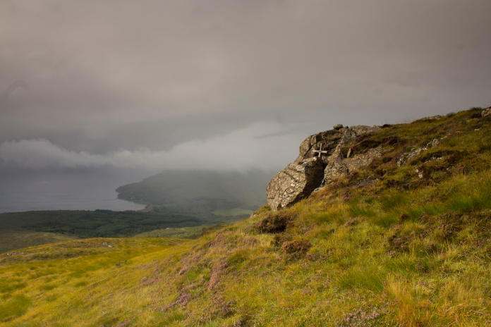
Above and below:- Memorial cross fixed in the rocks above Keppoch.
View of the cross taken from the impact scar.
While I was taking some photos at the crashsite the weather closed in a bit and I was subjected to a bit of a downpour, but after that the skies began to clear and the sun made an apearance. I returned to this crashsite with Stuart Whittaker during the 2019 Easter holidays and we found a lot more wreckage scattered for some distance from the impact scar and memorial cross.
Time for another photo of the cross in the sunshine.
Above and below-This rocky area to the south west contained more small fragments.
As I descended the hill back to the car the weather continued to improve, so as it was still quite early in the day I made the decision to continue on and do the walk I had planned on doing the following day to Sgurr na Stri. Sgurr na Stri is reported to offer some of the most spectacular views in the country from it's summit so I was keen to climb to the top in nice weather.
Nearly back to the car in now glorious
weather.
The start of the walk in to Scurr na Stri was a mile or so down the road and there was a good car park adjacent to it. The sunshine I had enjoyed on my walk to the Hunter crashsite had decided to stay on Keppoch so I set off walking along the landrover track to Camasunary in slightly more overcast conditions.
Plenty of parking at the start of this walk.
Landrover track to Camasunary.
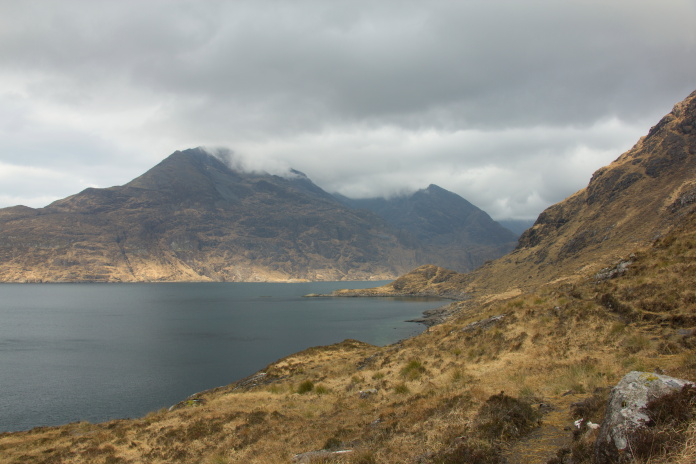
View back over to Keppoch, the Hunter
crashed at the top of the cliffs at the right hand side of the hill.
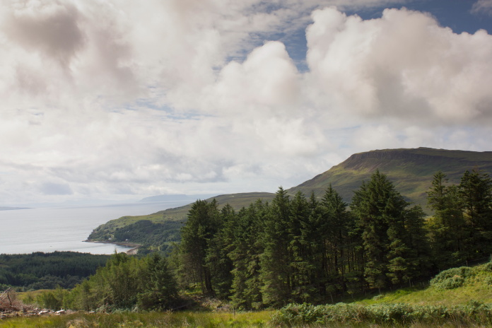
Once over this rise there were some
fantastic views of Camas Fhionnairigh Bay and the southern end of the
Cuillins including Sgurr na Stri.
Blabheinn.
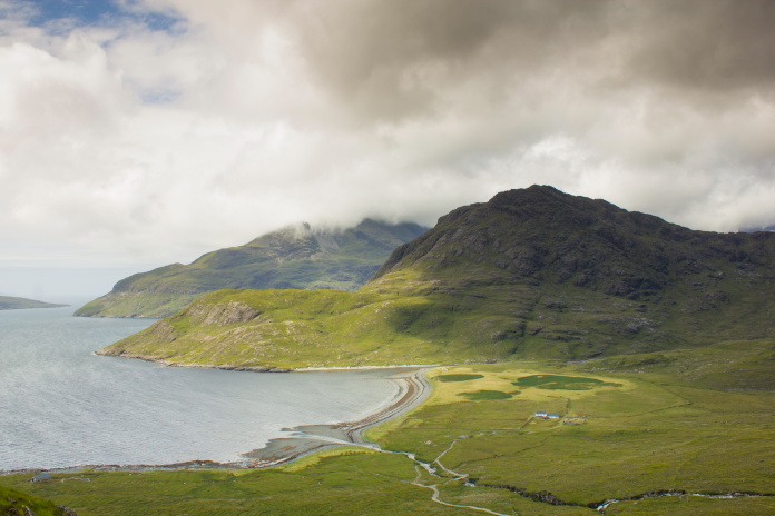
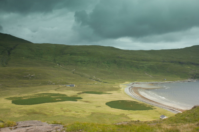
Camas Fhionnairigh Bay.
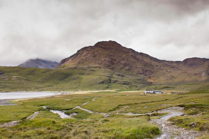
The lodges at Camasunary with Sgurr na Stri beyond.
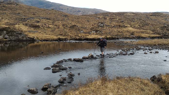
Although not the biggest of hills Sgurr na Stri still looked like it may prove a bit of a challenge, with the whole hillside being covered in rocks and cliff faces with no easy looking routes up to the summit. The first challenge involved in ascending Scurr na Stri however was a wetter one; crossing the Abhainn Camas Fhionnairigh burn without getting my feet wet.
Walking upstream looking for a place to cross.
There did use to be a suspension bridge across this burn but it had long since dissapeared, so the only options were to take my boots off and plodge over, or walk upstream to look for some stepping stones I had read about on some walk reports on the interweb.
This was the only thing I found which resembled 'stepping stones'. I did manage to cross here with only my left foot getting a little bit of a dunking.
Once over the water I made a rising traverse up some grassy slopes between the rocks until I reached two gullies which ran quite steeply up to the summit. I followed the most westerley gully uphill which although very steep in places was easily manageable with care.
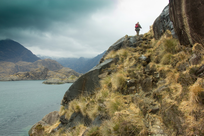
View back down to Camasunary on the ascent
of Sgurr na Stri.
 In
the gully, about half way up.
In
the gully, about half way up.
Just as I exited the top of the steep gully my 'good luck with the weather' metre well and truly ran out and I was subjected to gale force winds and large cold and horizontal rain which for want of a better word battered me into submission. I found a large boulder to shelter behind and waited in the hope the nasty bit of weather would pass but it didn't, it just kept deteriating.
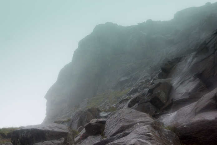
Not the best place to be in weather like that!
I sheltered behind a rock for a while to see if the poor weather passed but it just continued to get worse so I decided to beat a hasty retreat back down the way I'd just come up. I had noticed on the way up that there was a lot of black rock slabs that were very slippy, these were now all wet and consequently provided as much traction as a banana skin on a sheet of ice, so after slipping on my backside down one I made sure to avoid those.
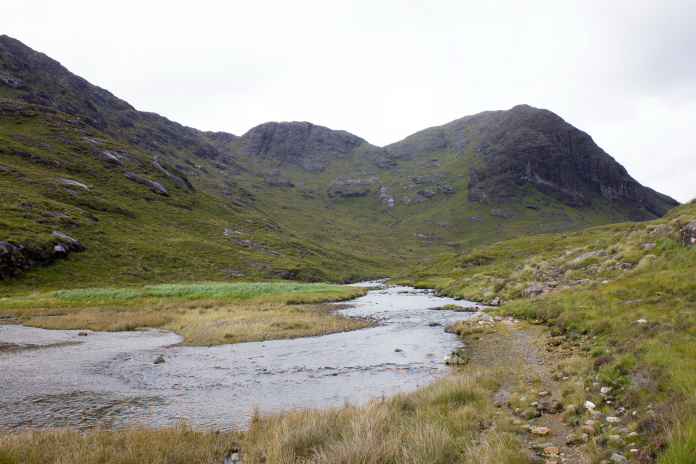
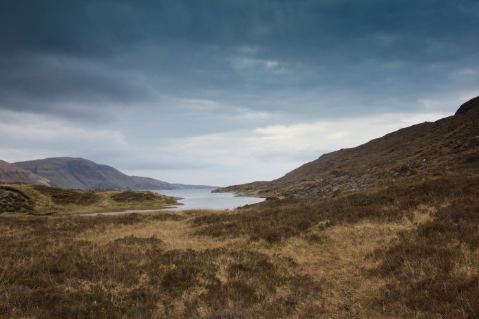
Safely back down to be rewarded with a view up the glen to Loch na Creitheach.
Sgurr na Stri part 2
In April 2019 I was back on Skye, but on this occasion I had Stuart Whittaker as company. We stayed in the Bothy at Camunasary the night before and on awakening found the weather to be quite promising so our fingers were crossed for getting to see the advertised spectacular views from the summit of Sgurr na Stri.
Back at the base of Sgurr na Stri in April 2019.
After just making it across the Abnainn Camas Fhionnairigh river with dry feet in 2018 my plan this time was to take some old boots to put on, just to ford the river. I would then put my hiking boots on and leave the old boots on the opposite bank to use on the return. On arrival at the same stepping stones I'd used the previous year it transpired a change of boots was not needed as the water level in the river was quite a bit lower. Just as well as my plan wouldn't have worked anyway because I'd left the old boots in the boot of my car!
A lot easier to cross this time.(photo
courtesy of Stuart Whittaker)
In 2018 I had ascended Sgurr na Stri from the east side, this time we were going up the west side to avoid going up the quite steep western gully I had used in 2018. To reach where we wanted to start our ascent of the Mountain involved a walk of about 1.5 mile around the shoreline below Sgurr na Stri. Thankfully though we would be turning uphill before we reached the infamous 'Bad Step'.
Heading south down the east side of Sgurr na Stri.
Making our way around Rubha Ban.
Turning north up the west side towards Rubha Bhuide which is the little
peninsula seen ahead.
As we made our way around the most southern point of the path and turned in a north westerly direction towards the western shoreline we were presented with our first glimpse of our objective high above us. Tantalizingly it was bathed in sunlight. Although there was a temptation to strike up the steep slope directly towards the summit we had to continue hugging the coastline north for quite a bit further.
The ascent of Sgurr na Stri looks
quite daunting from the east but around on the western side
it was foreboding, with the hillside being covered with rock
outcrops and no apparent route up to the top. We had to
cautiously explore several gullies before we found one that
lead to where we wanted to be.
Above and below:- Heading uphill, at least the threat of a dunking was now diminished!
It was quite easy going uphill once into this gully.
Traversing across to meet the top of the western gully.
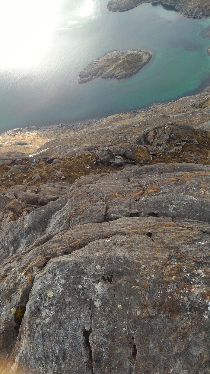
A photo Stuart took, looking almost vertically down to the sea it shows to good effect the
opportunities available to fall off a rock face.
After paying our respects to the crew of an American Jet that crashed here we continued up to the summit using the higher reaches of the western gully.
above and below:-Up the top of the western gully. I used the western gully in my attempt to reach the summit in 2018. It was comparatively easy going up here.
Imagine that view on a clear day.
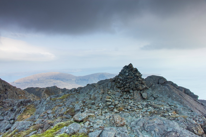
Cairn on the summit of Sgurr na Stri.
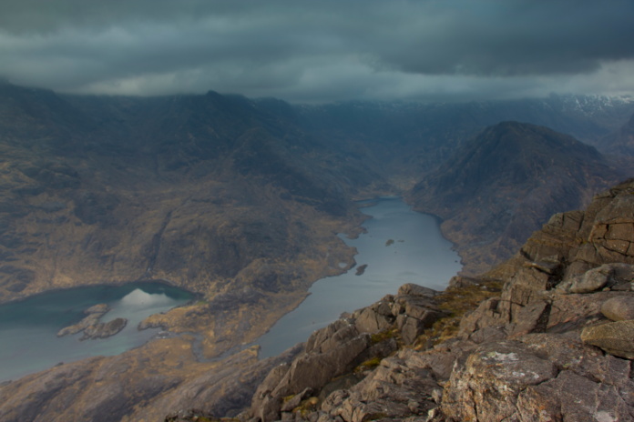
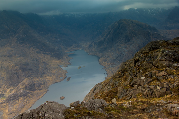
Above and next two photos:-Views from the top of Sgurr na Stri.
For our return route we continued north from the summit following a ridge before dropping back down to the river via a choire between Sgurr na Stri and Sgurr Hain. Although this route was a lot less 'ball clenching' it was a lot farther to walk, but the thought of a hot meal and hopefully a quieter nights sleep in the Bothy kept me motivated for what turned out to be a long slog down off the hill.
Route back down, it wasn't as difficult as it looks on this photo.
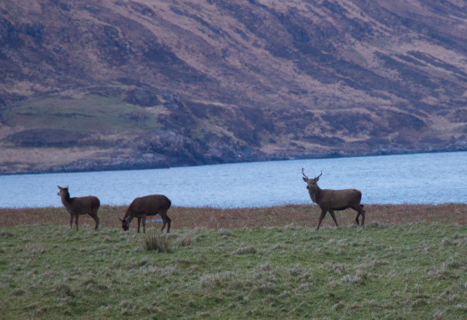
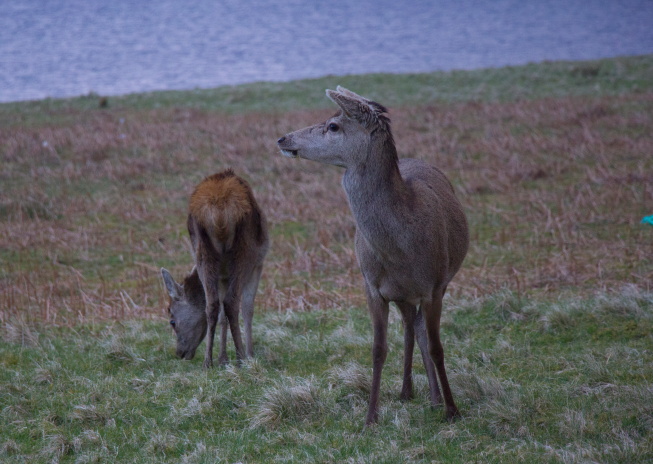
Above and below:- Grazing on the pasture next to the Hunting lodge, these locals seemed confident there were no stalkers in residence.
A welcome sight after a long day, and tonight we had it all to ourselves.