Zerr ist no Path!.
Boeing B-17 44-83325 on Ben Edra.
(Distance covered =
8.4 mile/Ascent =+982m)
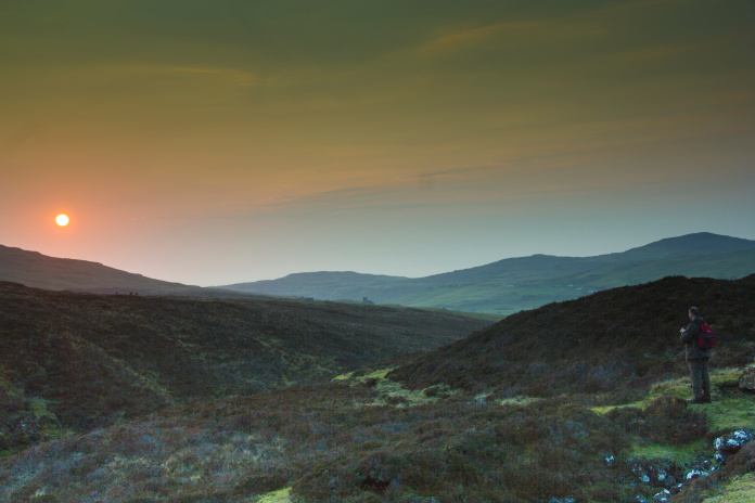
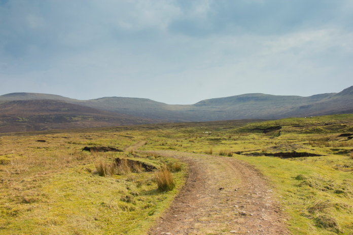
The last day of my weekend on Skye and a nice easy walk to use as a warm-down after our efforts on Sgurr na Stri the day before; or so we thought!
There were two choices of obvious routes for reaching this B-17 crashsite: a comparatively short but boggy route from the east or a longer but easier going route from the west, easier going if you don't count having to negotiate the Trotternish Ridge; twice!. We had chosen the shorter route but changed our minds as the longer route looked like it would be a nicer walk.
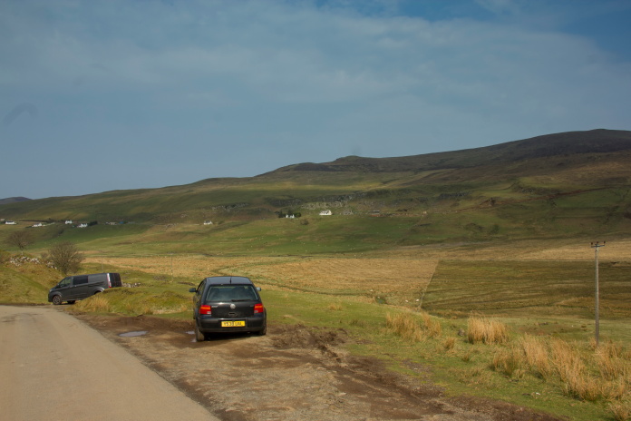
Parked up, just below Balnaknock.
On the drive up to Balnaknock we stopped off in Portree to hunt out some breakfast and found a nice cafe where I had a Sausage and Haggis Breakfast Roll and a cup of tea: my choice of sandwich content seemed to amuse the waitress but if I had been allowed a third choice there would have been black pudding in there as well.
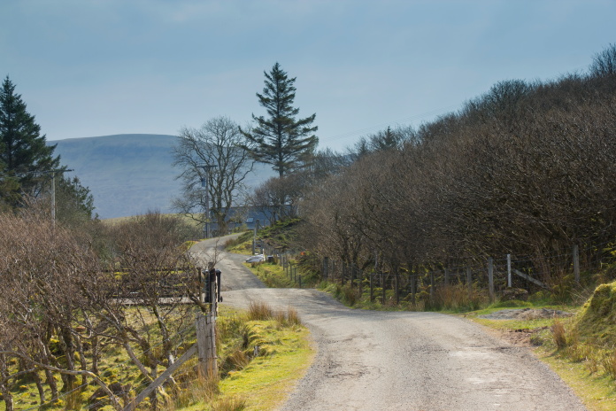
Start of the walk into Ben Edra.
The first obstacle of our walk was a farm; I don't like having to walk through farms and as we approached this one an angry looking little man approached us from the opposite direction shouting something about the path. We at first thought it was the Farmer telling us we couldn't walk through his farm but when he reached us we realised what we thought was a strange Skye accent was in fact German, and he was saying "Zerr ist no path", which he then elaborated on by adding "It iz just boogy".
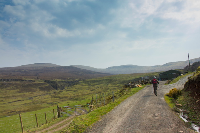
Continuing on our way after our encounter with the mad
German. Ben Edra is the bump on the far left
in the distance.
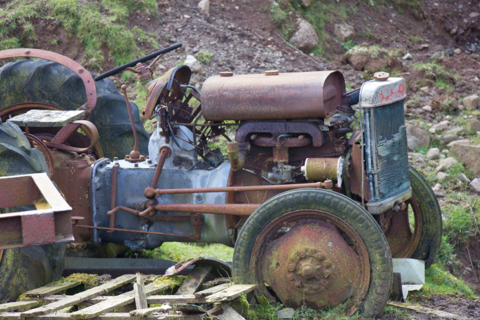
Haven't bagged an 'abandoned tractor' photo for a while!.
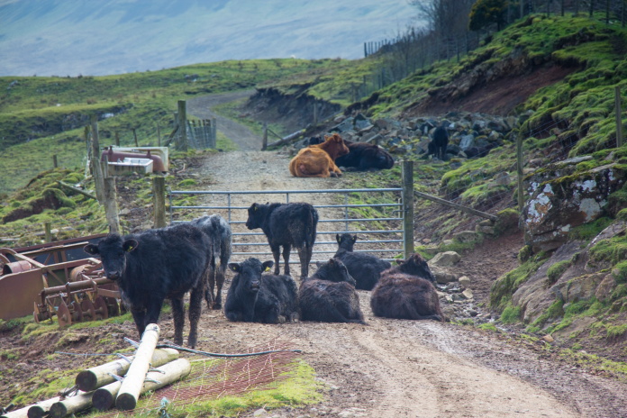
2nd obstacle, these weren't as angry as the German, who seemed to think we were responsible for the path to Beinn Edra going through a bog at the end of the farm track.
Our plan was to drop over the bealach between Beinn Edra to the far left on the skyline and
Beinn Mheadhonach to it's right.
Where the German gave up: there was actually a very good path up to Beinn Edra once over this 'Boogy' section.
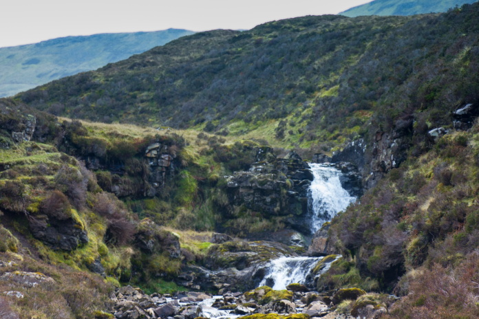
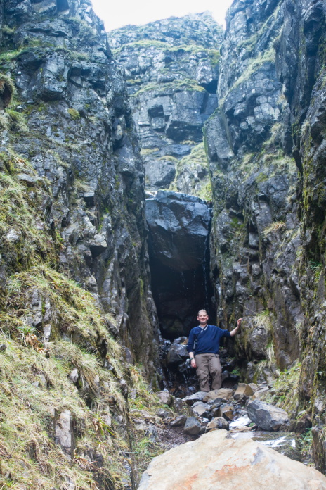
"Zerr ist no Bridge": Well actually there
was but we hit this gully a couple of hundred metres upstream from it.
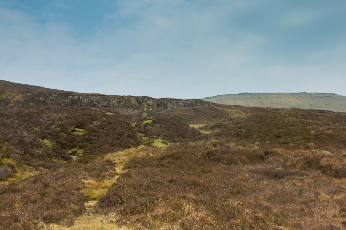
Very good path which made a beeline straight up onto the Trotternish ridge next to Beinn Edra.
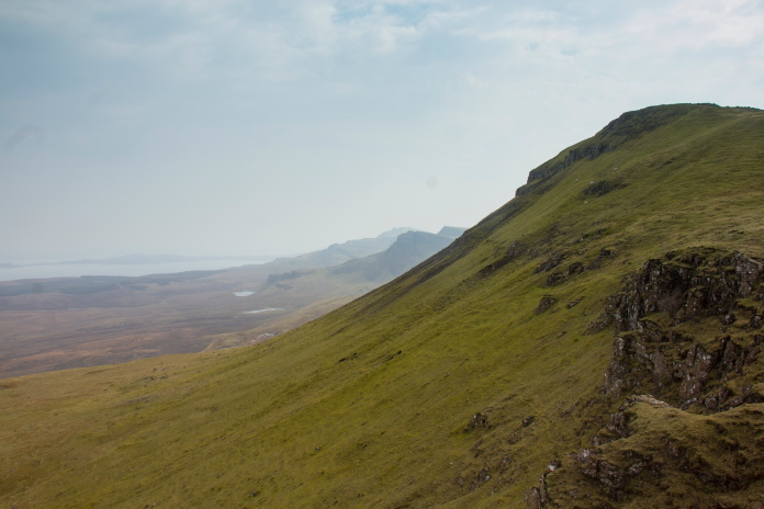
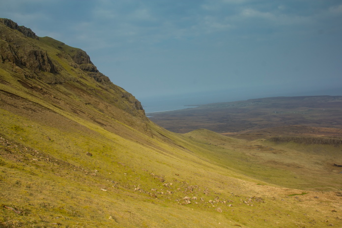
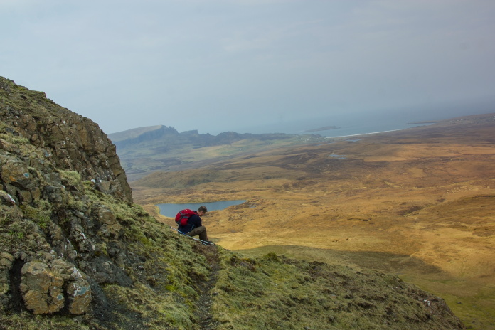
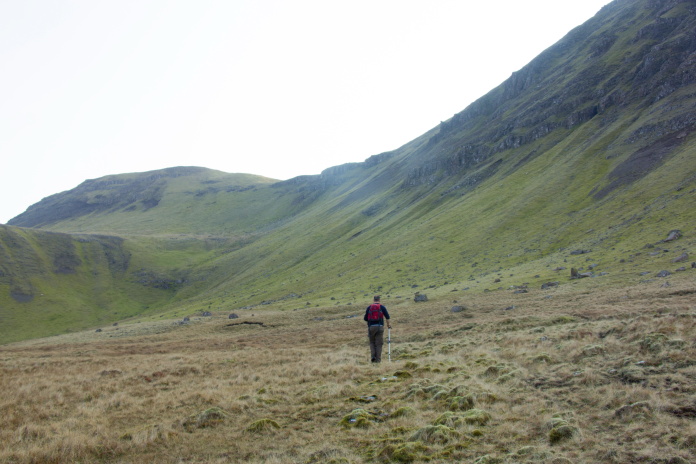
It was indeed a lovely walk in from the west and the going was very easy, but as we followed the path up onto the Trotternish ridge we were a little apprehensive about how difficult it may prove dropping off the other side to reach the crashsite. It was a wee bit of a relief when we reached the top and peeked over the ridge to be confronted by nothing more than a steep but easily manageable grassy slope on the other side.
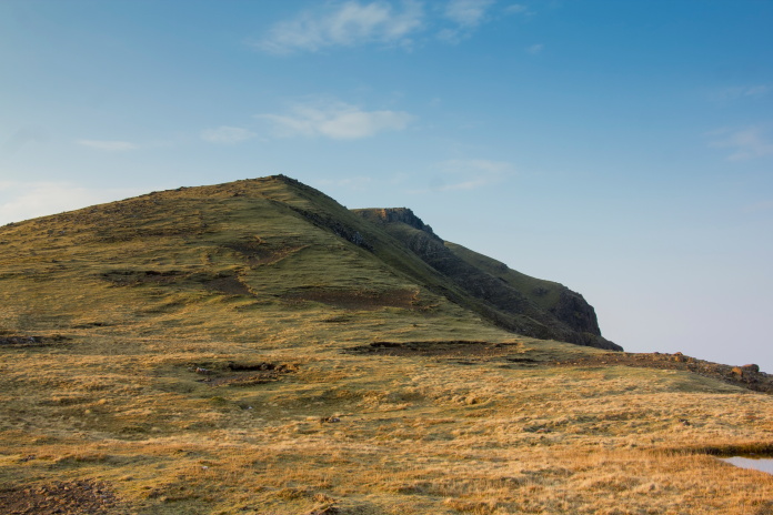
On top of the Trotternish Ridge and about to
find out what sort of challenge we would have to go down the other side.
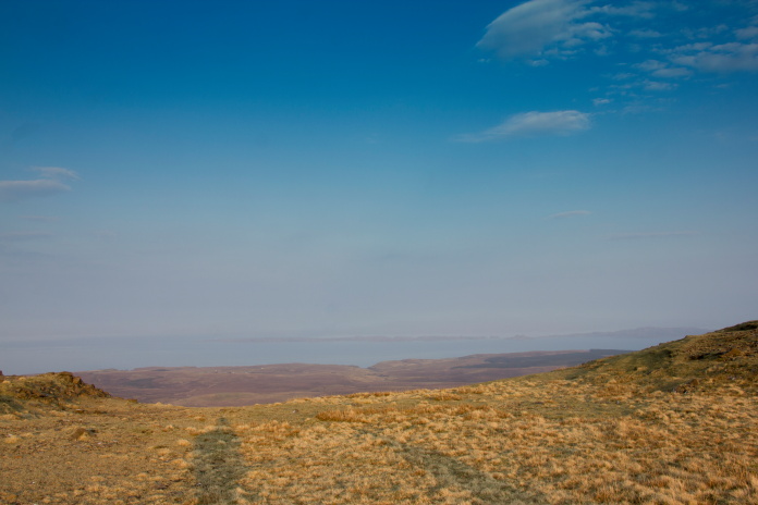
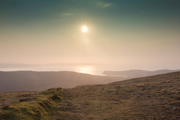
View north from the bealach between Ben Edra and
Beinn Mheadhonach
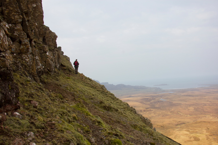
Our route down the east side of the ridge; a lot easier than we were expecting,
even though it was a lot steeper than it appears on this photo.
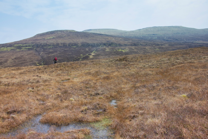
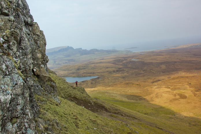
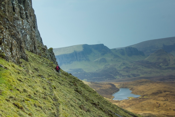
Once over the other side of the Trotternish ridge we had to head north for about 1km to reach the area where the B17 crashed; we decided to stay as close to the base of the cliffs below Beinn Edra as was possible, which was made easier by there being some nice sheep tracks to follow.
Above and next 3 photos:- Heading north around the base of the Beinn Edra cliffs.
The B17 had collided with a cliff face above a prominent gully below the Beinn Edra summit. By hugging the base of the cliffs as we made our way north we found ourselves in a good position to explore the gully in the hope of being able to climb it far enough to find the impact point; our hopes were dashed however by a rather large boulder which was well and truly wedged and had made a good job of blocking any chance of progressing further up the gully.
Stuart standing below the massive boulder which
thwarted our expedition up the gully.
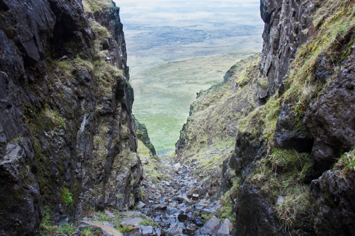
We found numerous small pieces of B17 in the gully but nothing further uphill from where this photo was taken.
It may have been possible to progress further up by exiting the gully and using terraces between the cliff faces but, as the rock was wet, slippy and loose we didn't even contemplate that course of action but instead retreated back down to have a look at the wreckage that had spilled out the bottom of the gully.
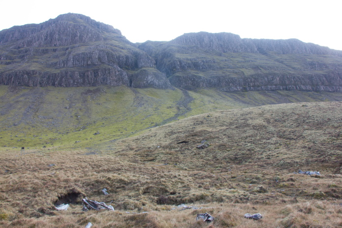
Supercharger from one of the engines:
wreckage is scattered on the slopes between this and the gully where the
B17 impacted, which can be seen in the distance.
Area where the Recovery Crew dragged a lot of wreckage and buried it.
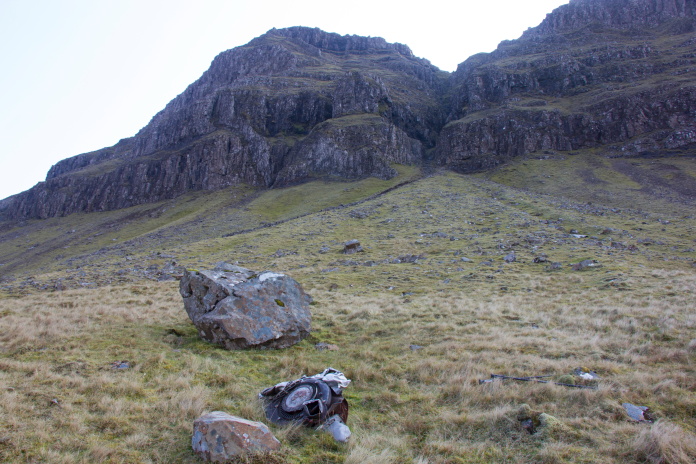
Beinn Edra summit is the bump on the left in the background: The B17
crashed into cliffs above the deep gully to the right of the summit.
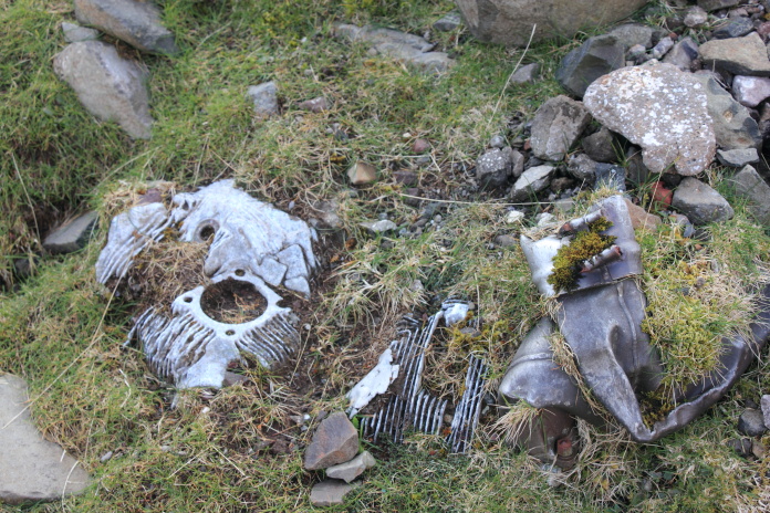
One of the engines. All four engines were present although two were badly broken up, one
has been completely buried by a rockslide and this one is almost buried.
After spending quite a bit of time looking for pieces and taking photos we had to set off for the steep slog back up onto the Trotternish Ridge. Although the thought of the climb back up was daunting at first, it proved to be easier than expected and quite enjoyable with some spectacular views to the east to enjoy; and we knew once we were back on the top it would be a lovely and easy walk downhill all the way back to the car.
Approaching the Trotternish Ridge from the other side.
Canny view over to the east.
Back on top of the ridge, looking towards Beinn Edra Summit.
Thoughts of nipping up to the summit were quickly dismissed.
Some nice views to look at as we walked back down the western side
as well.