BikeCycle.
Airspeed Oxford V3910 on Maol Taillier,
Hawker Sea Hawk WM986 nr
Leonach.
(Distance covered =
15.4 mile/Ascent =+522m)
CC19b had started off with a 'failed to find'(ftf) followed by a successful trip to a previously visited crashsite in the Monadhliath Mountains where we camped on the hillside. Day 3 we were headed off to look for two crashsites Stuart had been to before but I hadn't.
This walk would actually be better described as a bike ride as 95% of the distance would be covered on or bikes; either riding them or pushing them.
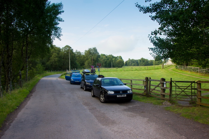
Parked up and ready to go at Dulsie Bridge.
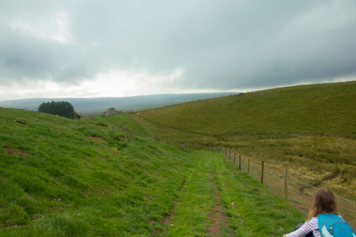
Off up the track to Lynemore.
Off down the track from Lynemore.
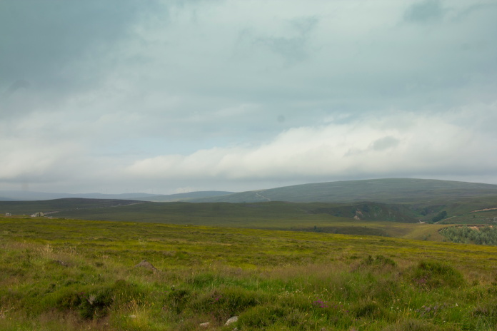
View across to Maol an Taillier from the
waterfalls near Lynemore.
It was thanks to Windfarm access roads and estate landrover tracks that we were able to utilise our bikes for most of the distance and both crashsites we were visiting were no more than half a mile from one of these.
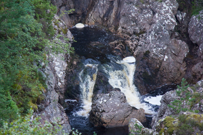
One of the waterfalls, which was in a deep
gorge and much larger than it appears to be on this photo..
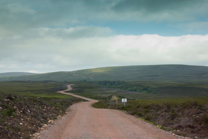
Onto a nice downhill section of windfarm access road
which took us towards Maol an
Taillier.
Just below Maol an Taillier at a place called Battanmaceachain were some ruined buildings which proved ideal for hiding the bikes while we ascended the last half mile to the first crashsite of the day on foot. The same ruins also proved ideal for having a rest and some bait on our return as well.
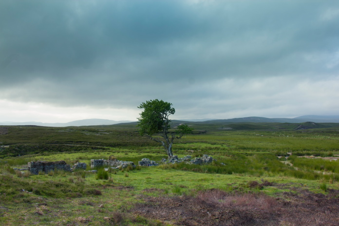
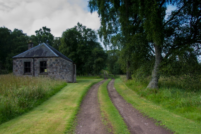
Ruins at Battanmaceachain.
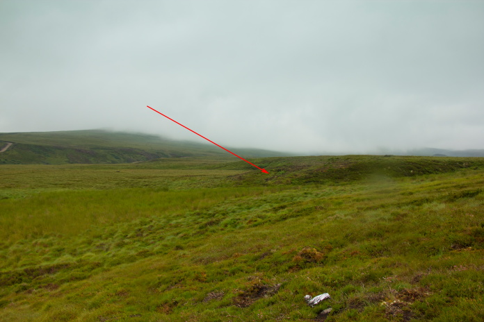
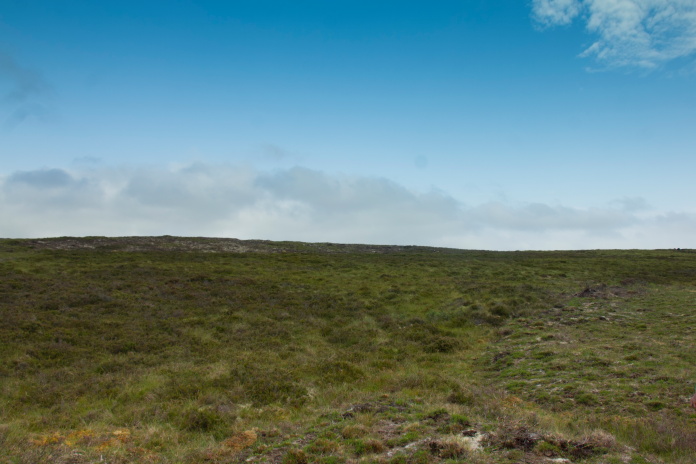 Approaching
the Oxford crashsite, which is in the bare area near the left of the
skyline.
Approaching
the Oxford crashsite, which is in the bare area near the left of the
skyline.
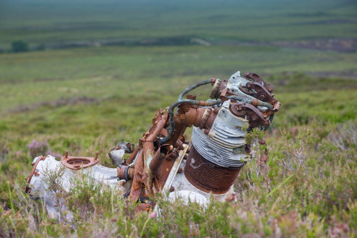
One of the Oxford's Cheatah engines.
I think I've lost count of how many Armstrong Siddeley Cheatah Engines I have seen at crashsites over the years but what ever the total is I could now add two more. As well as the engines there were lots of interesting small stuff still to be found which suggested this one is not visited by that many people.
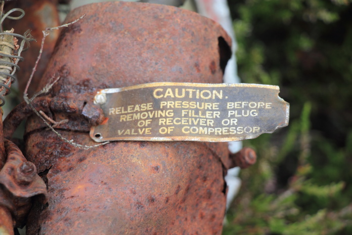
Something like this is usually stolen by
some moron who'll keep it in his shed or 'personal collection' until
inevitably it will end up being discarded.
To reach our second objective of the day we had quite a distance to pedal, which included a very long and straight stretch up onto the top of a hill called Carn a Gharbh-ghlaic which is probably as difficult to pronounce correctly as it was to push the bike up it.
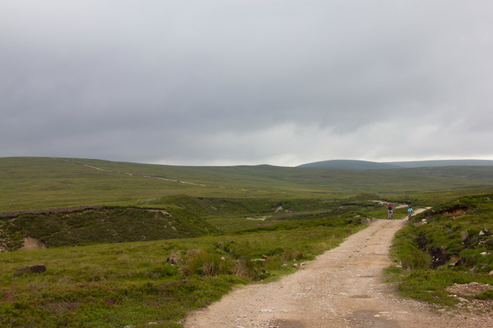
Back on the bikes for the long haul over to crashsite number two.
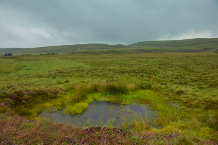
As we reached the top of Carn a Gharbh-ghlaic the heavens opened so once down the other side we sheltered in a Bothy for a while in the hope it would stop but it persisted until we were a good way into our return to the carpark. The now dismal weather had the effect of making the location of the Sea Hawk crash seem even more bleak and remote than it was already.
Above and below:-Where Hawker Sea Hawk WM986 dove into the remote boggy moor.
More wreckage photos.
When the rain eventually stopped the sun came out, but unfortunately so did the clegs; so if we stopped we were quickly pounced on by the little sh1ts! Good incentive to keep going even when I was suffering from my bikes hard saddle.
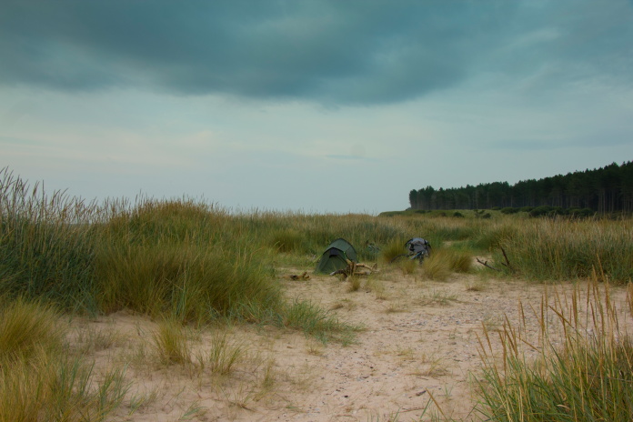
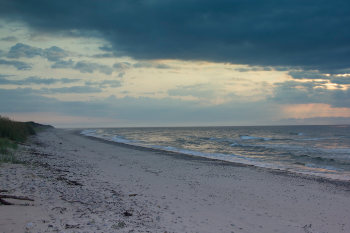
Our campsite for the night, in the dunes on Culbin Sands.