Windy but not quite a
Hurricane.
Douglas Dakota KG502 on Cold Fell
(Distance covered =
5.1 mile/Ascent =+348m)
For my first walk of 2019 I opted for a relatively easy and short one and also one that wasn't too far to drive from my home.
I'd planned to do this walk on a couple of previous occasions including one trip to the northern Pennines in 2016 when I rather over optimistically set my sights on visiting 8 crashsites in one day. I managed three, one of which was not this one.
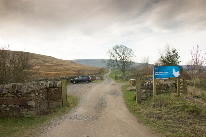
Parked up in Geltsdale carpark.
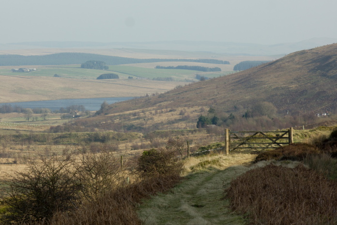
I was undecided whether to tackle this one from the north parking just south of Hallbankgate or from the west parking at a place called Jockey Shield. Both routes were about the same distance and both looked like they could be nice walks. I eventually went for the route from the north as it wasn't as far to drive. If I'd known at the time that a Hawker Hurricane had crashed south of the Dakota near to the route in from the west I would have taken that option. Never mind, one for another day!
above and below:-Bit of a wind blowing along this road to Howgill.
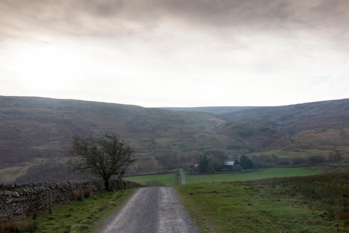
Howgill.
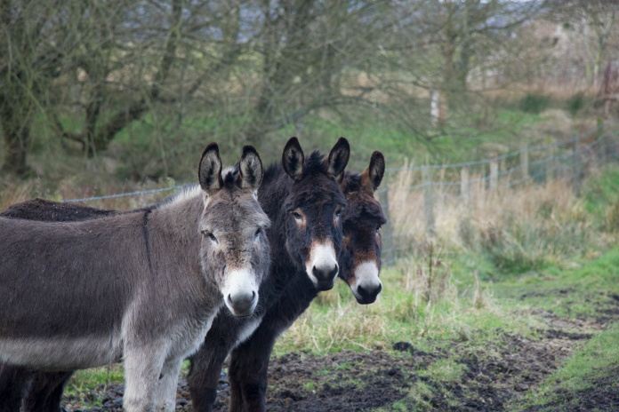
These three were definitely thinking "Who's this idiot!"
Still pondering why the idiot was walking through their field.
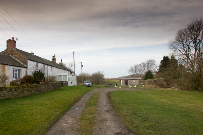
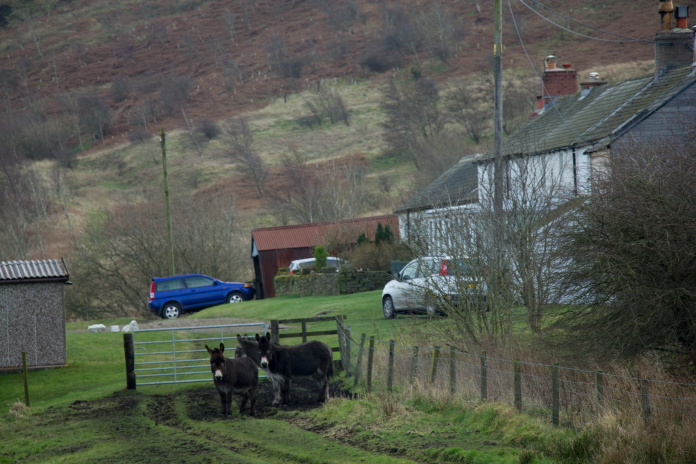
 In Scotland this would make a nice Bothy, in England it's a Donkey House.
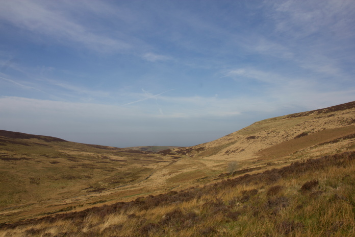
Once through Howgill I was sheltered from the very cold wind so it was pleasant going alongside the north western edge of Cold Fell and as the path turned to the south there was even some sunshine to enjoy.
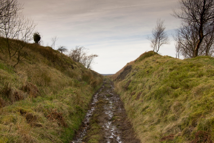
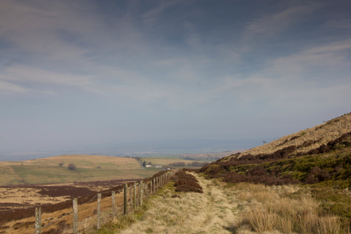
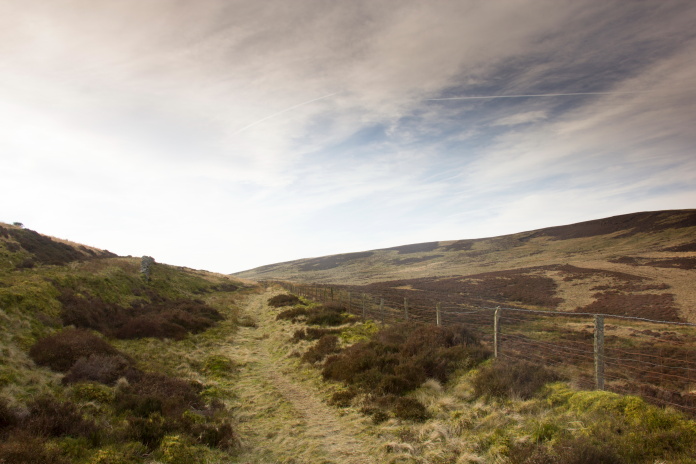
above and next two photos:-Track below the north western side of Cold Fell.
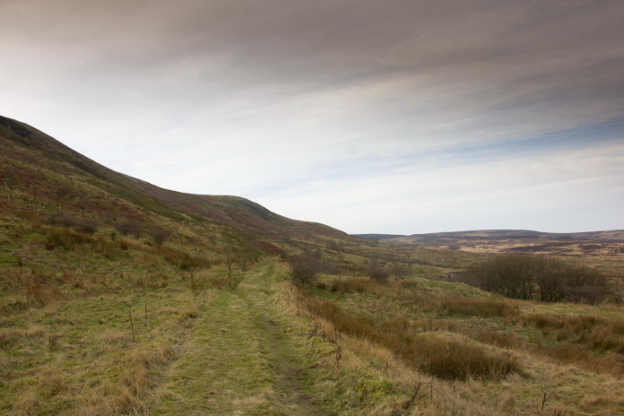
Turning south and into some sunshine.
Not long after entering the sunshine I had to take a left up a steep incline towards the Dakota crashsite. This also took me up out of the shelter and back into the wind. Although it had warmed up a little from earlier on it was still quite strong.
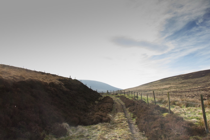
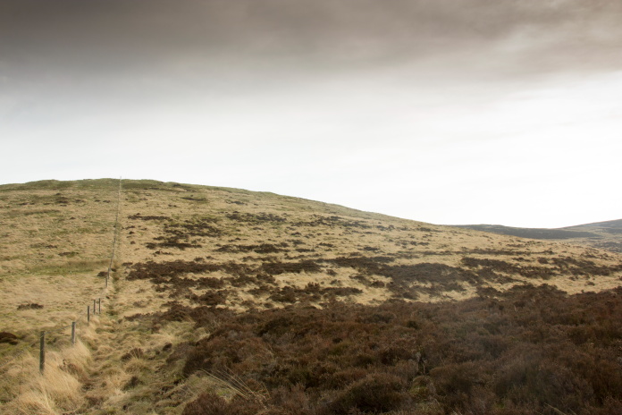
above and below:- I followed the fence on the left uphill onto Brown Fell.
If my navigating was correct the crashsite would be just over that next rise.
I knew the Dakota had crashed into a rocky area to the north west of Cold Fell in an area called Brown Fell. As I neared the location I could see two possible rocky areas so, as is always the case with me when presented with a 50/50 chance of getting it right, I got it wrong!
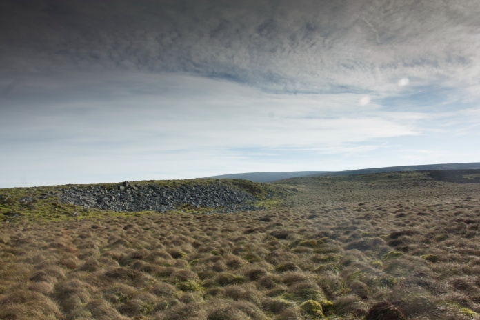
Approaching the 2nd and correct rocky area.
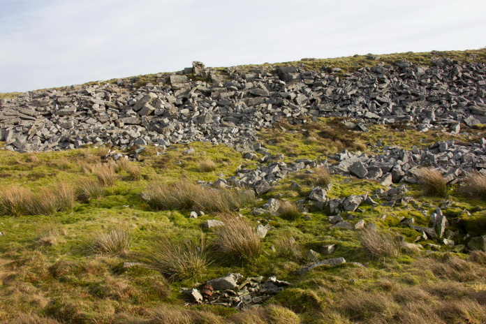 Collection of small pieces in the crater in the foreground. A plaque is fixed to the rock protruding over the skyline.
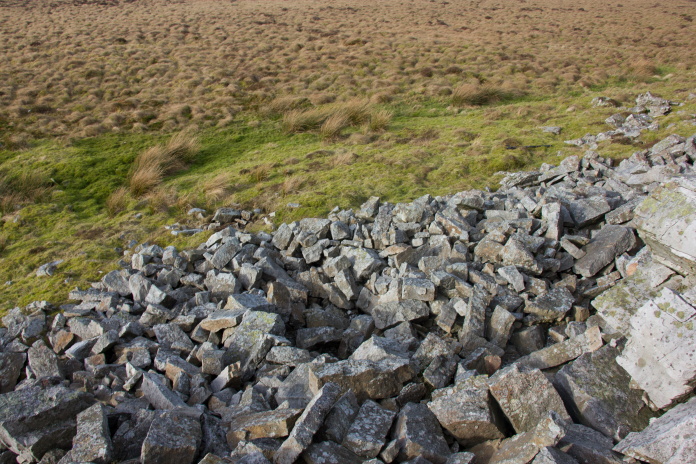
Crater in the rocks where the Dakota hit the hill, this contained small pieces.
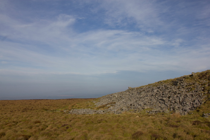
Looking north to the rocks where the Dakota crashed.
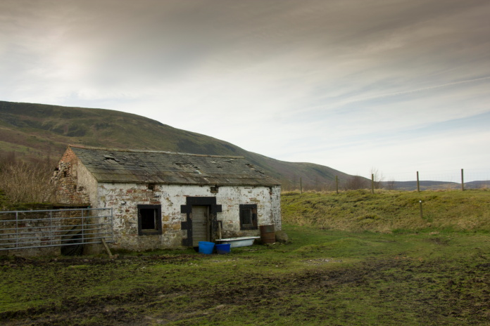
On my way up to Brown Fell I'd spotted a derelict building a little farther south so instead of retracing my steps back to the car I headed over that way to see if there was a photo opportunity.
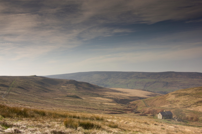
The old house at Gairs. The hill on the left
middle distance is the possible location of a Hurricane crash.
I could see through my binoculars from a distance that all the lower doors and windows of the derelict building were bricked up. As it wasn't a very picturesque ruin for a photo opportunity and I wasn't even going to be able to have a nosey around inside I abandoned my idea of going down to check it out and turned back on a route towards the car.
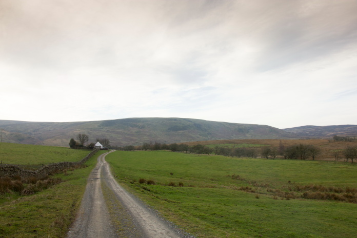
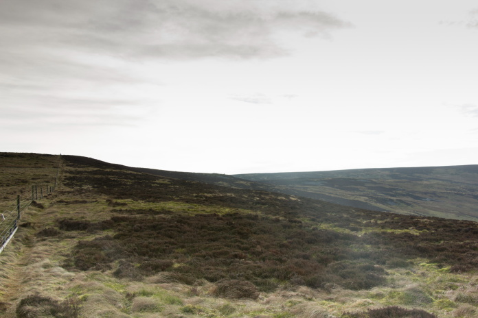
above and next two photos:- Nice sunny and sheltered walk back to the carpark.