A few scraps II
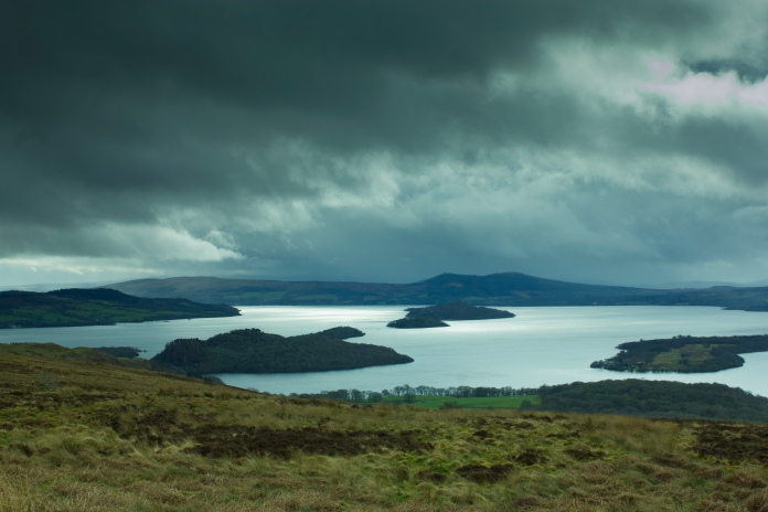
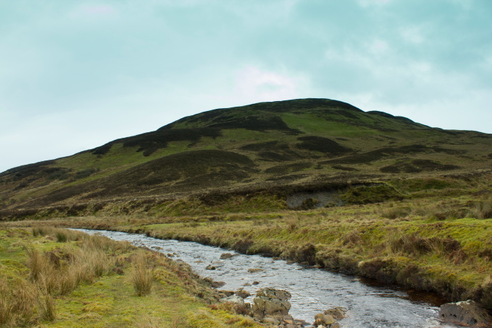
Avro Lancaster PB456 on Conic Hill
(Distance covered = 8.7 mile/Ascent
=+314m)
Second championships of 2017, this time in Paisley. I wasn't aware of the location of any other crashsites within range that I could visit that I hadn't been to already, other than a Fairy Swordfish in Clyde Muirsheil Park.
One problem with going to look for the Swordfish crashsite was I didn't have a grid reference, all I knew was it was in the vicinity of the old Calder Dam, so I didn't hold much hope in finding it. However just north of the old Calder Dam was an abandoned narrow gauge railway, which supposedly had tracks, points, bridges and an engine shed still in situ so checking out that could be my objective then I wouldn't be too disappointed when I failed to find any sign of the Swordfish.
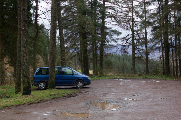
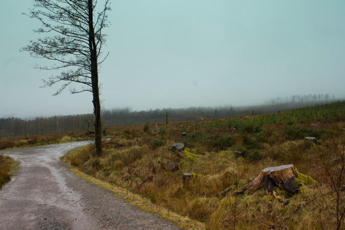
Blueberry Esmerelda Muffin II parked up in the Garadhban Forest above Drymen.
Objective sorted, route sorted, map sorted, then at the last minute I was given a map reference for a Lancaster crashsite on Conic Hill which was no where near as far up the road from Paisley as I thought, so I went there instead!
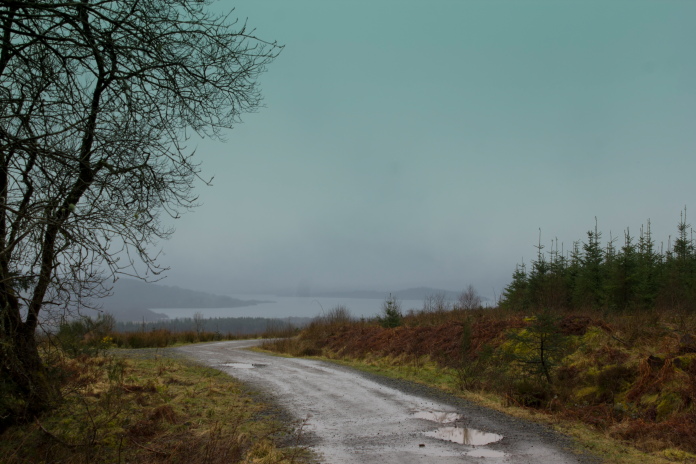
Setting off along the West Highland Way with glimpses of Loch Lomond through the clag.
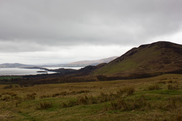
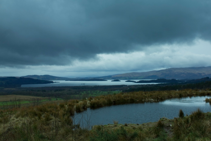
As well as being a crashsite I'd never been to before, reaching Conic Hill looked like it would be a very pleasant walk along part of the West Highland Way, and there was reported to be some spectacular views of Loch Lomond on offer as well providing the weather was kind.
Definitely a walk for a sunny today which this day was not!
I could have reached the crashsite by parking at Balmaha but this would only involve a walk of just over a mile, so instead I parked about four mile to the east of Conic Hill in a small forest carpark adjacent to the West Highland Way.
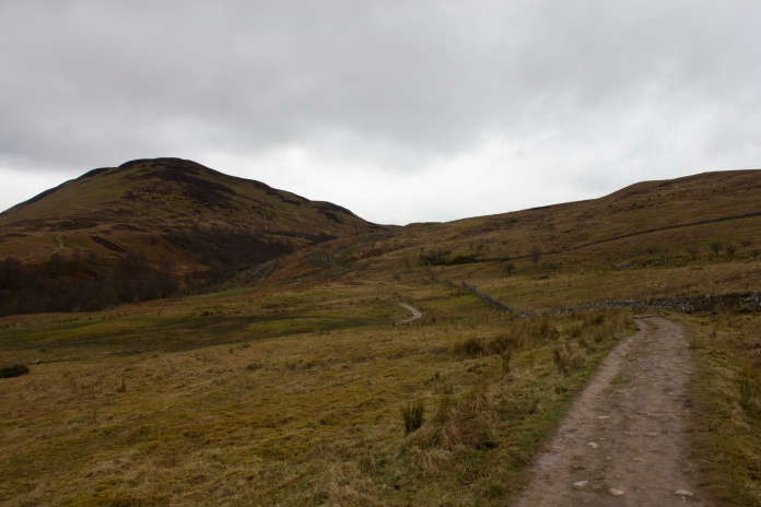
View over to Conic Hill which is hiding in a cloud.
My good luck with the weather doesn't seem to be working very well so far in 2017 as out of the three expeditions I've made up the Hills so far in the year I've had to use my waterproofs twice.
A mile into the walk and still chucking it down.
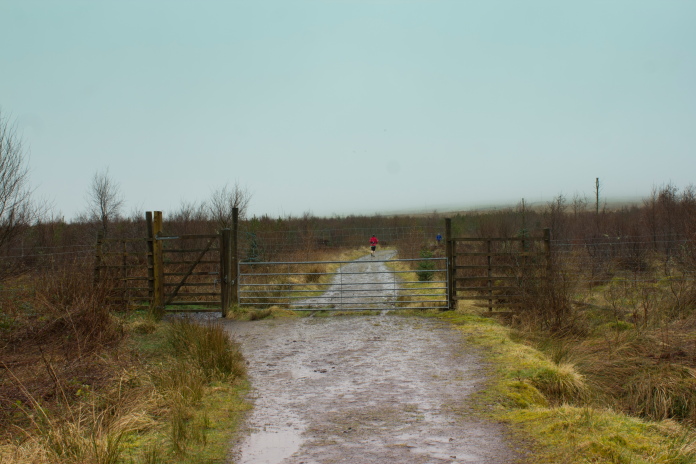
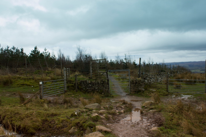
Luckily this Deer fence had a walkers gate
beside the locked main gate..
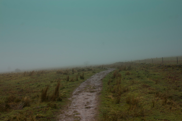
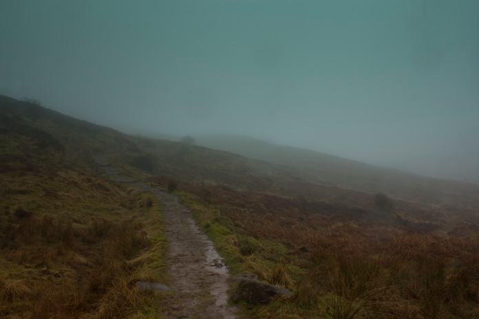
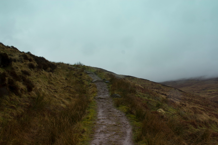
above and below:-Off up into the cloud.
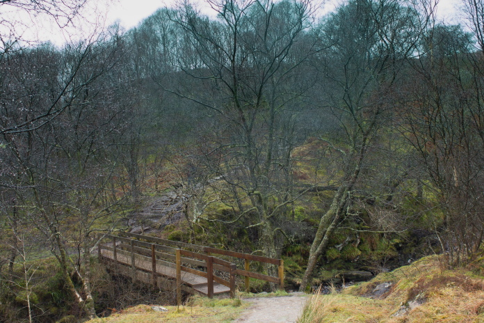
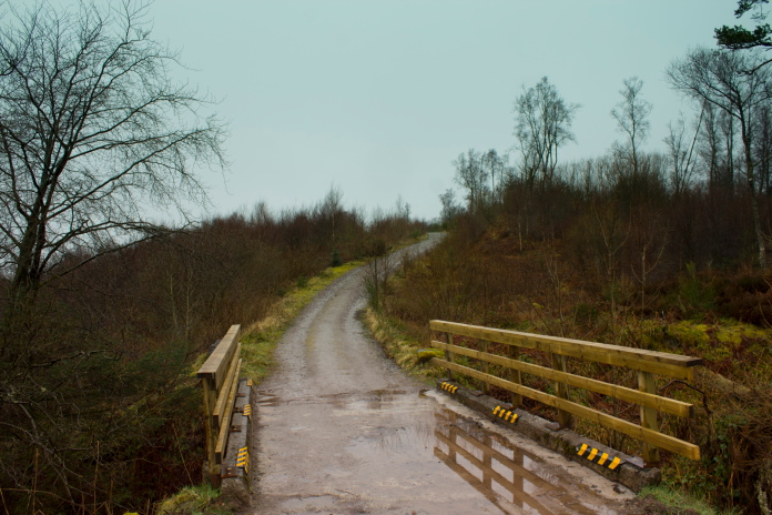
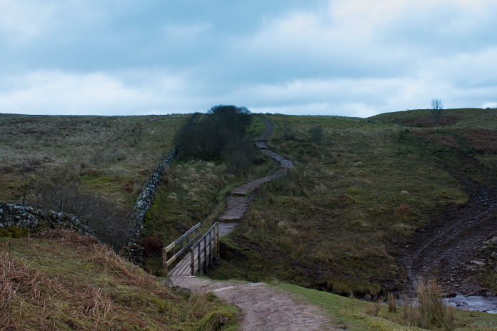
Above and below:-Once over the Burn of Mar the first steep section of the day was encountered.
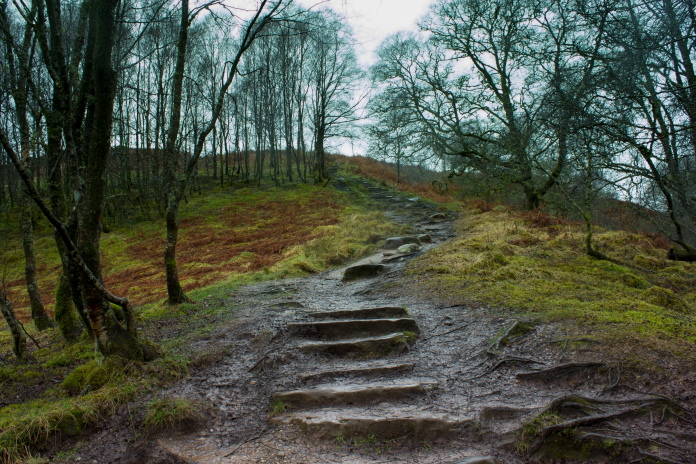
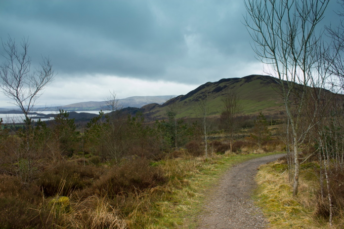
Above and below:-Up the eastern flank of Conic Hill and the clouds were starting to clear.
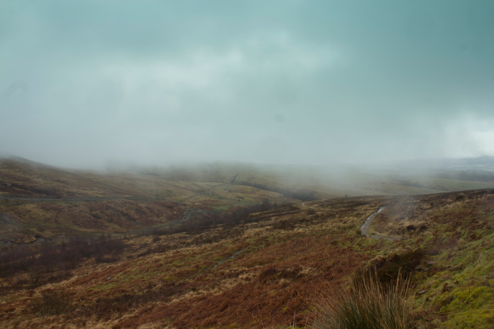
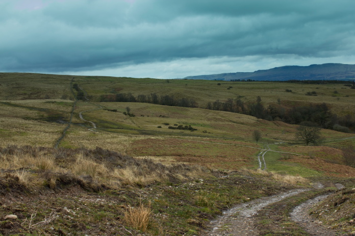
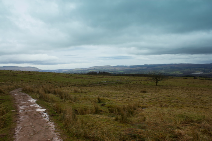
View back along the West Highland Way from the lower reaches of Conic Hill.
I noticed two things whilst walking along the West Highland Way, one was everyone else seemed to be running up the hill and the other was, on all the signs requesting that gates are shut and dogs are kept on a lead etc the name was spelt 'Conich' not 'Conic'.
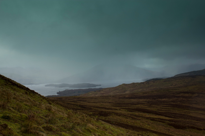
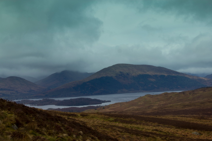
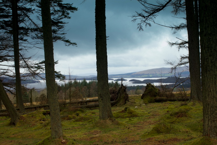
Imagine that view on a nice sunny day.
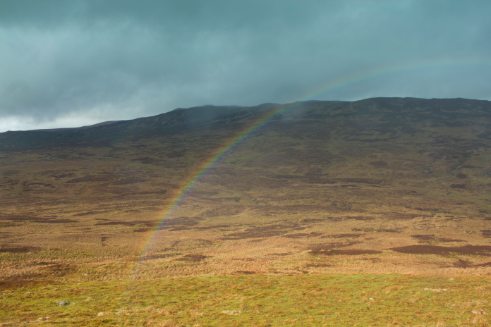
Just as I was about to head off cross country to reach the crashsite of the Lancaster I was subjected to one last very heavy downpour, which was accompanied by a rainbow, then the rain stopped.
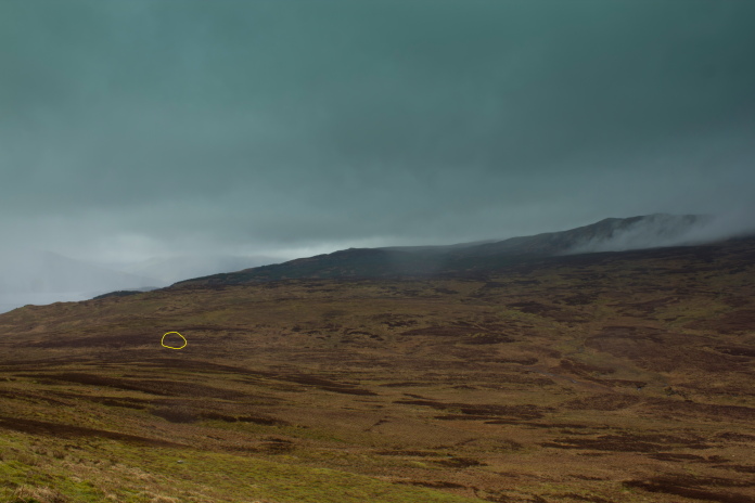
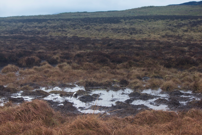
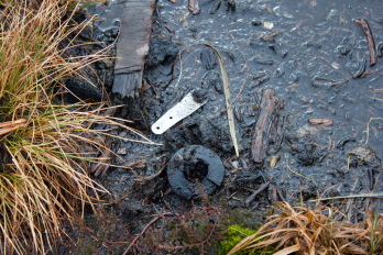
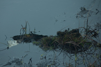
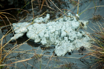
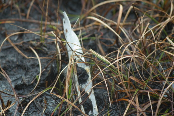
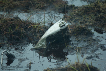
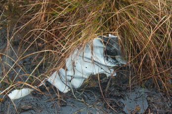
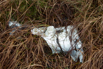
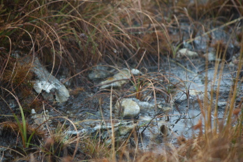
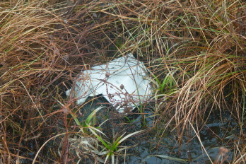
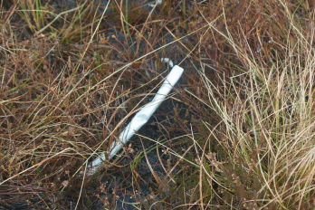
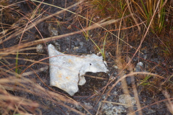
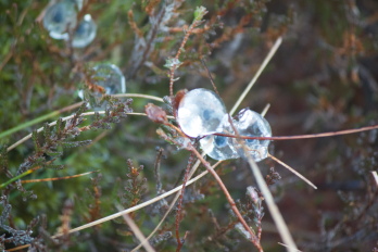
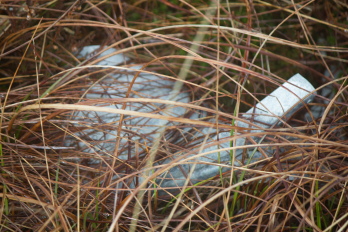
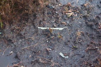
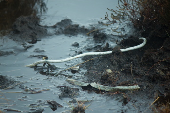
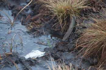
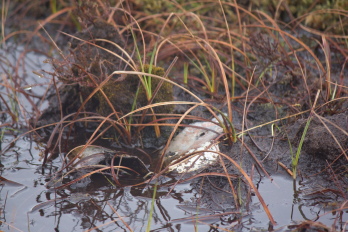
Above and below:-Location of the crashsite of Avro Lancaster PB456.
From the West Highland Way I could clearly see the scar on the hillside marking where the Lancaster crashed. The site has been dug a couple of times by an Aviation Museum who recovered two of the engines and a lot of other parts.
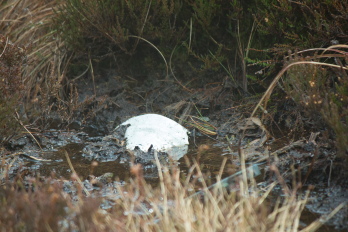
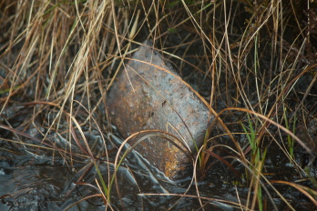
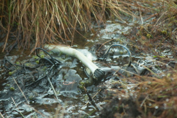
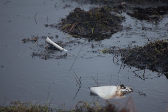
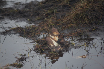
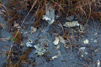
Above and next 25 photos:-Crashsite and small pieces of Lancaster PB456,(and some ice)
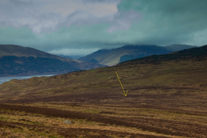
From the crashsite I could see what looked very like an area of wreckage about half a km off to the north east, of course I knew fine well it was going to be some of those annoying white rocks that look like aircraft wreckage from a distance but I went to have a look anyways. It was white rocks!
Still a canny view when the weather's sh1te!
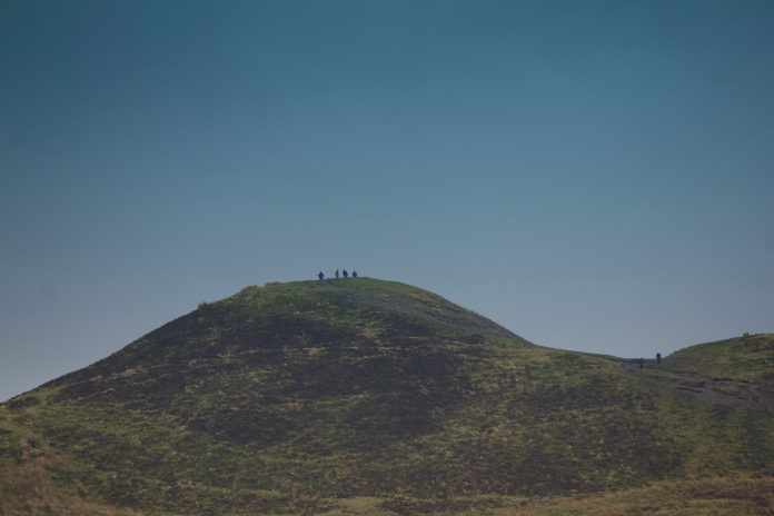
People on Conic Hill, probably wondering why the man in the distance is walking around in circles
in the middle of a bog!
I had entertained the idea of returning via the summit of Conic Hill then dropping down on the tourist path to Balmaha before walking back along to road to where it joined the West Highland Way for the last mile back to the carpark. After my unnecessary detour to check out that the white rocks were indeed white rocks I decided I wouldn't have time to do that, so would just have to go back the way I came.
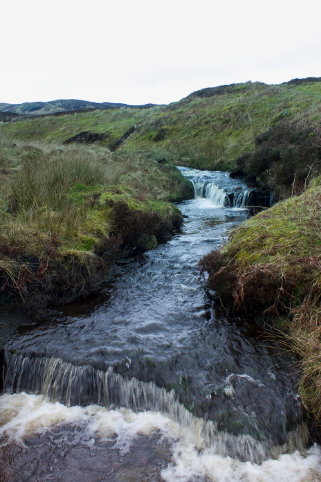
Only waterfall encountered today, 2nd in my list of crap waterfalls behind the one at Bluebell Woods.
Instead of going back over and up the hill to regain the path I figured it would be easier and quicker to just follow the Burn of Mar around the base of the hill. This plan worked fine until I came across a dam above a very deep gully, luckily a landrover track had been built to access said dam so I followed that for about 3 quarters of a mile to where it intersected the West Highland way.
Above and below:-Following the Burn of Mar back.
Nearly back onto the West Highland Way.
Once I was back onto the path I had to give it sixnowt to get back to the carpark as I had dawdled far too much looking at the views, taking photos and checking out white rocks, so I was in danger of being very late to pick up the girls from the competition.
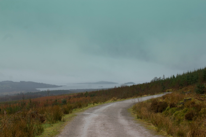
above and next 9 photos:-Wasting more time taking almost the same photos I took on the walk out only this time going in the other direction and with slightly better weather.
How many gates can you fit in one corner of a field.
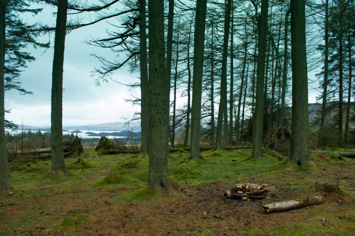
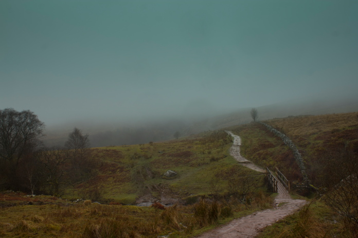
Above and below:-Number 20 on my nice places to have a picnic list, there's even a nice campfire ready to be lit.
Even though I was running well late I stood here waiting for the sun to peek out to take this photo.
It didn't!

Back at the carpark about 10 minutes after I
was supposed to be picking the Girls up!
By the time I arrived back at Paisley I was about 30 minutes late but I didn't get any earache because they were in a good mood as Heather had won the trophy for finishing 5th in the Line Up in a tough group that included the World Champion.