The Jet Set
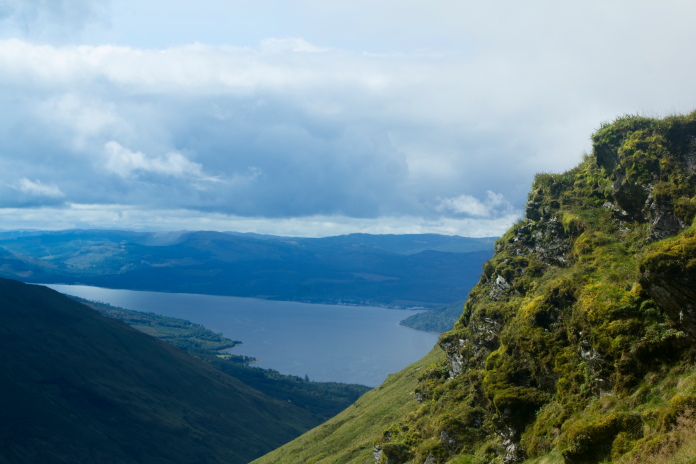
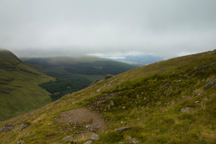
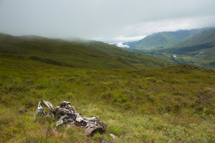
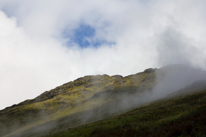
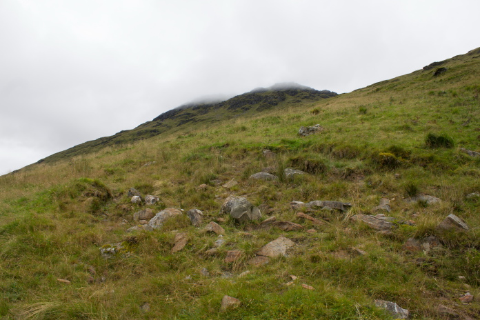
Sepecat Jaguar XX762 on Beinn a Chleibh.
(Distance covered = 9.0 mile/Ascent =+720 m)
NA F100 Super Sabre 55-3671 on Beinn Donachan.
(Distance covered = 6.8 mile/Ascent =+382 m)
PanaviaTornado ZE982 in Glen Kinglass.
(Distance covered = 2.2 mile/Ascent =+420 m)
It was the weekend of the 2017 World Championships at Cowal. We were staying at our usual place for the weekend, Drymsynie Hotel in Lochoilhead. This year though the family rooms where we usually stay were being refurbished, so our rooms were in the Castle.
The rooms in the Castle were rather grand with high ceilings, fantastic views out the windows over the Loch, four poster beds and luxurious robes for use after a bath or shower. We felt like we were living the lifestyle of the rich and famous for the weekend!. Some friends were also staying in the castle and they had offered to give the girls a lift down to the showfield in Dunoon and back again, leaving me free to go off walking!
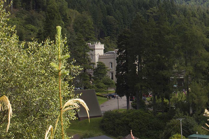
The Castle at Drymsynie.
If I'd had to drop the girls at the showfield and pick them up again at the end of the day, as is usually the case, then I would only have had time to go for a walk within about a 20 mile radius of Dunoon and I'd already visited the few crashsites in that area. Now as I no longer had these constraints I would be able to go a little farther afield and visit three crashsites that I hadn't already been too; all Jets!
Parked up and ready to go.
The first crashsite on my itinerary was an RAF Jaguar that had crashed somewhere on Beinn a Chleibh. I didn't have an accurate map reference but had an idea roughly where it was after seeing a photograph on the internet. My friend Stuart from Ireland had also given me a grid reference where he thought it might be after studying an aerial photograph he had acquired, so I had that to fall back on if I couldn't find it.
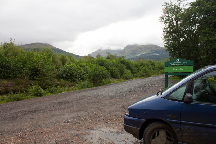
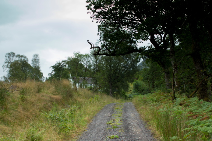
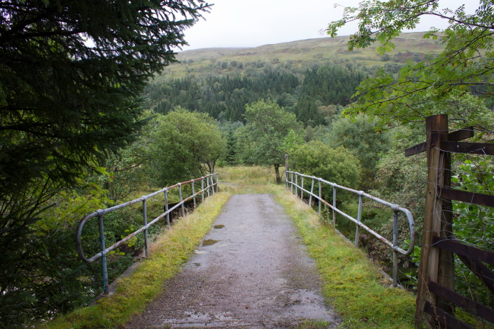
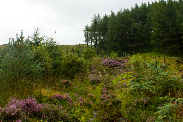
Off along the track towards Succoth Lodge.
I had the option of three routes I could have taken to access Beinna Chleibh, a very long walk in from Dalrigh in the east, a short walk in from the A85 to the north or a medium distanced walk by comparison from the west via Succoth Lodge. As the shortest route involved wading across the River Lochy then negotiating a railway line before a bog slog up through forestry I opted for the Succoth Lodge route.
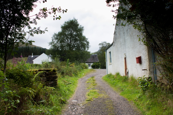
Above and below:- The buildings at Succoth Lodge, secreted away amongst the trees.
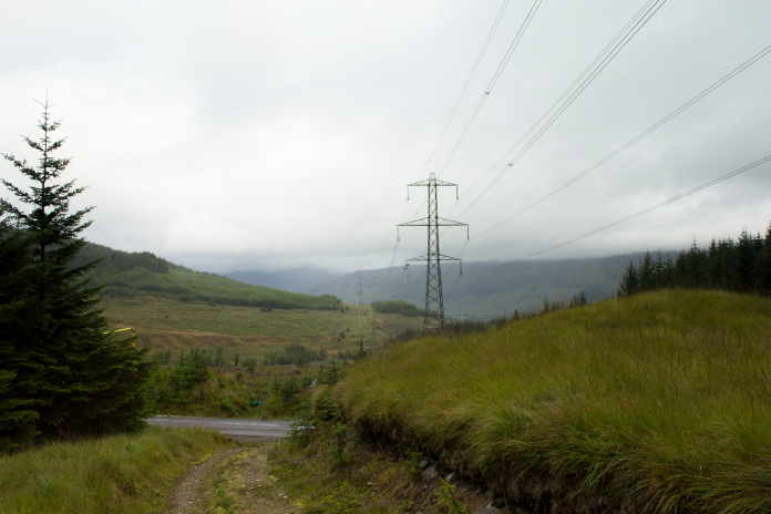
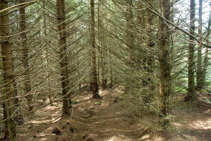
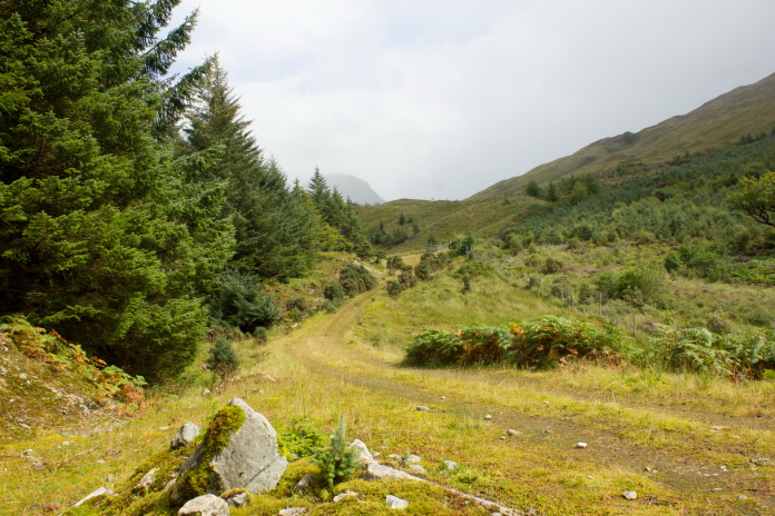
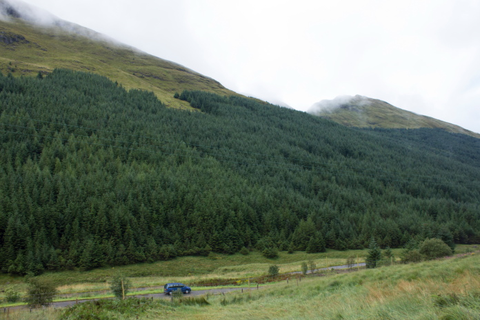
The route in from Corryghoil via Succoth Lodge also had the advantage of being on landrover tracks for most of the way with only a sort stretch 'off piste' which would involve following the line of some electricity pylons through a clearing in the forest.
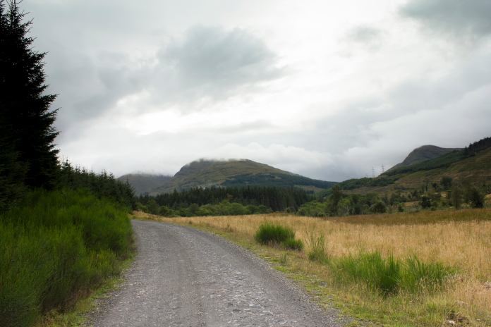
above and below:-Although a Landrover track was clearly marked on the map it wasn't so clear on the ground!
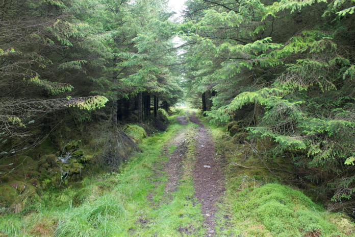
There was a Landrover track marked on my map that proceeded through Succoth Lodge grounds and continued on into the woods to intersect the line of pylons farther on. Once past Succoth Lodge however it was obviously little used, overgrown and very boggy in places, but it was less than a mile before it emerged from the trees and was replaced by a hardcored forestry road that wasn't marked on my map.
Above and below:- Another bonus was this track which went part of the way along the clearing through the woods.
The bonus Landrover track became a wet boggy and indistinct path part of the way along this clearing.
Once I'd followed the Pylons through the clearing I turned straight up the hill on the left and found the large crater made when the Jaguar crashed without difficulties, it turned out that the grid reference Stuart had given me was spot on!
About to pass the last pylon before exiting the boggy clearing, the Jaguar crashed up the hill on
the left.
Large and obvious crater on the lower slopes
of Beinn a Chleibh made by the Jaguar.
There was a few tiny fragment of the Jaguar all concentrated in the crater so it didn't take me long to take photographs then I headed off back down the hill and found a comfortable boulder to sit on and eat my sarnies next to a cairn beside one of the pylons in the Glen.
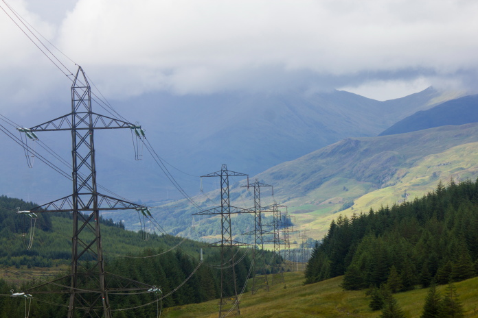
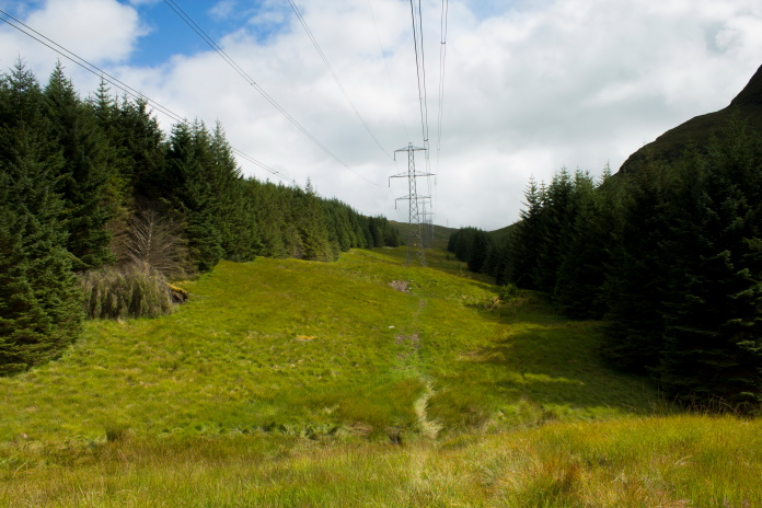
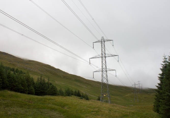
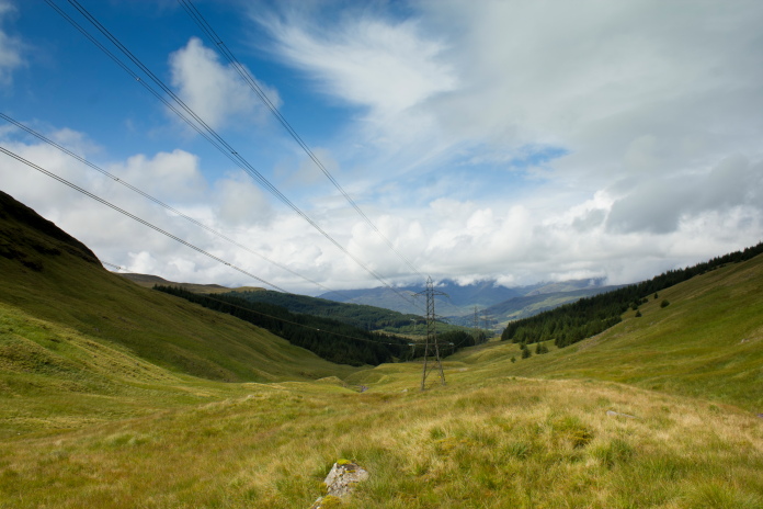
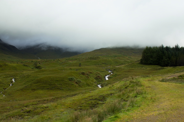
Above and below:-View along the line of Electricity Pylons which run through Gleann nan Caorann.
It was now a simple case of reversing my outward route but first I attempted a couple of alternate routes to avoid the boggy stretch through the clearing, one following the Allt a' Chaorainn Burn and one going through the trees, I ended up back on the boggy path.
Following the burn worked for a while until the bank became too steep.
Walking through the trees worked for a while until I encountered a massive soggy bog!
If I'd eaten this I probably could have floated back to the car chatting to a pink spotted elephant!
Not quite a tractor and not quite abandoned,
so no addition for my abandoned tractor list!
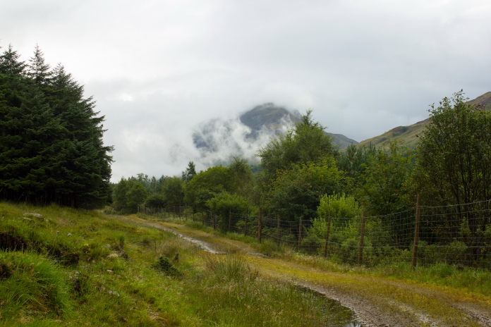
Back along the Landrover track to Succoth Lodge.
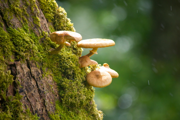
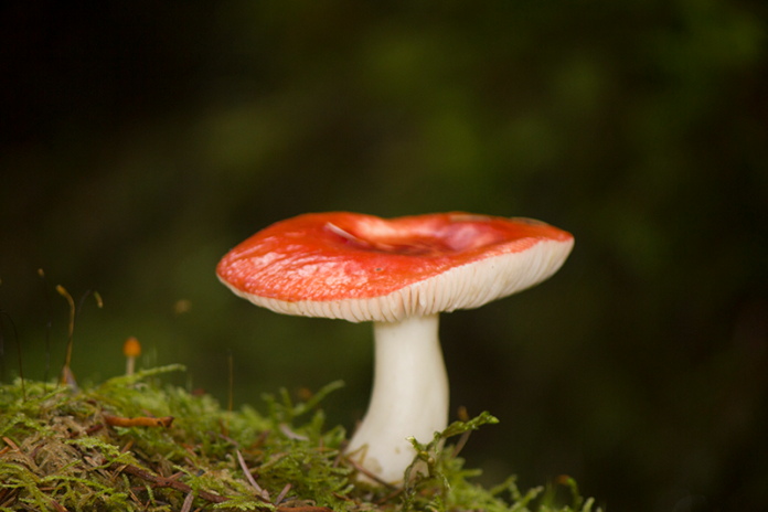
Thought I'd include this photo because I'm a
'Fun guy!'*
I was looking forward to a nice hot shower back at the hotel and then lounging around in one of the 'luxurious bath robes', crash on the bed and watching a bit of telly etc, but unfortunately the wife had the hotel room key and she was still down at the competition in Dunoon so I was going to be locked out of the room for at least two hours, luckily I must have looked like an honest sort to the maid so she let me in!
*--In case you didn't get the mushroom pun--'Fun Guy'='Funghi'
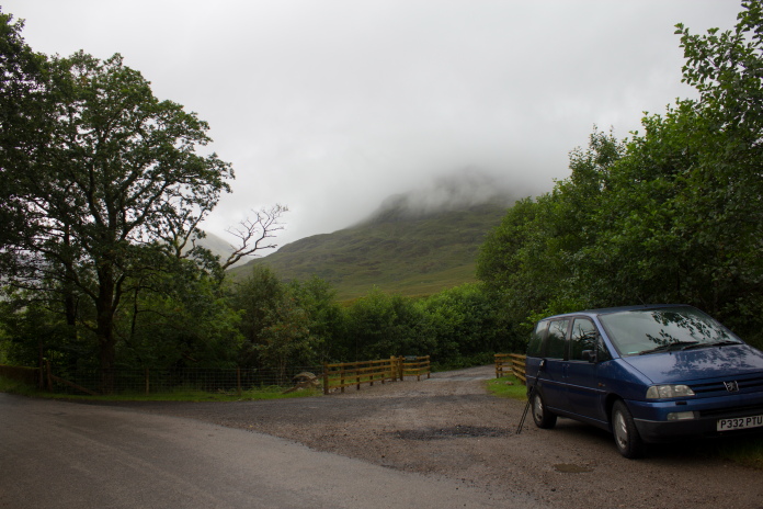
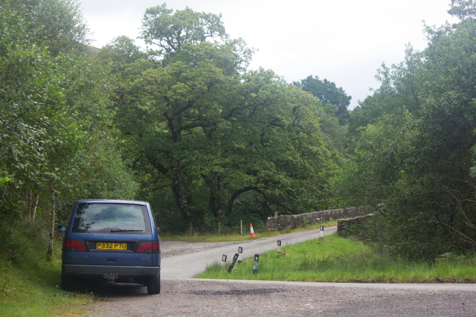
Parked up and ready to got for day 2, Jet 2
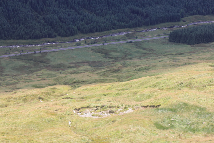
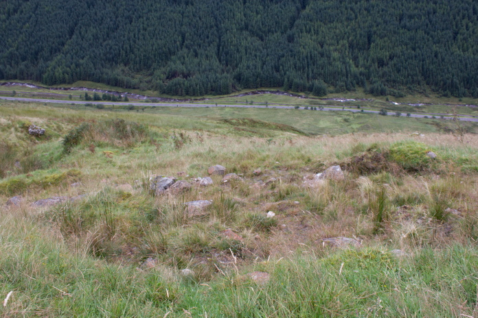
The following day I parked up at the entrance to Duiletter Farm, not far up the road from where I'd been the previous day, the target for today was an American F100 Super Sabre that had crashed on the lower slopes of Beinn Donachan.
The first mile of so was through a nature reserve.
This was going to be a lot shorter walk than the previous day and again most of the way was going to be on landrover tracks apart from the last 300 yards or so. The first mile along Glen Strae was very pleasant as it passed through a nature reserve, indeed the whole walk along Glen Strae was very pleasant with no hills to climb until I reached the forest below Beinn Donachan.
Duck Scarecrow in the nature reserve.
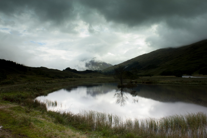
Nice wee Loch just past
Duiletter Farm.
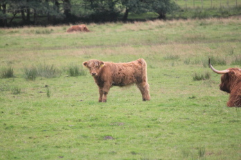
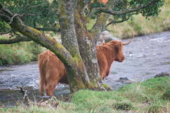
As I was walking along the north side of Glen Strae pondering how much of a problem getting across the other side of the quite wide looking River Strae was going to be, I encountered a more immediate problem! A herd of Highland cattle with rather enormous horns were gathered around the track I was following. One of them was standing right next to the gate I needed to be through having a chat with some younger coos on the other side of the gate. None of them were particularly bothered by my presence and none of them made any attempt to get out of my way so I had to inch past them hoping I didn't end up at the wrong end of a hoof or horn!
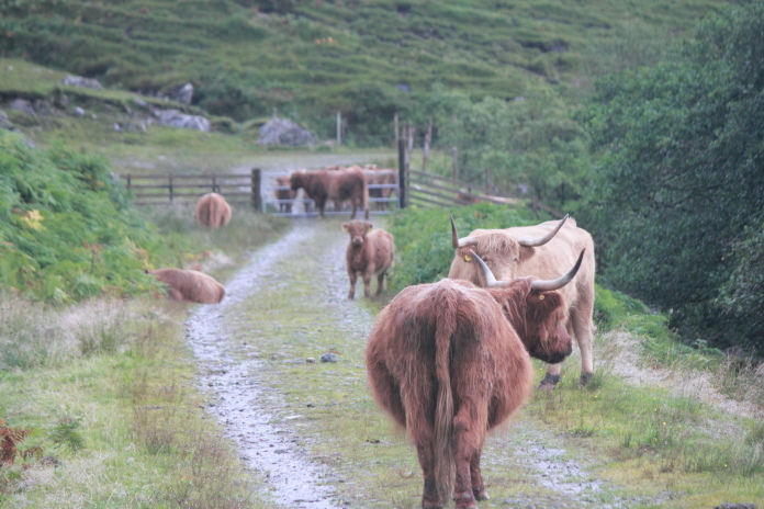
Highland Coos, luckily the only drama
queen was the little one!
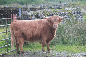
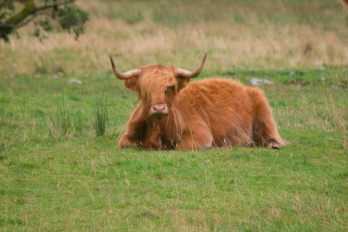
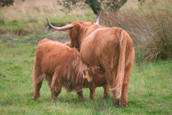
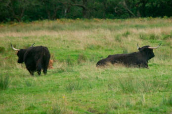
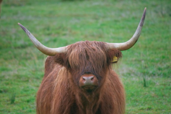
A Brief guide to Highland Cattle
| Big COO |
 |
| Little COO |
 |
| Lazy COO |
 |
| Hungry COO |
 |
| Black COO |
 |
| Shy COO |
 |
| Plodgin COO |
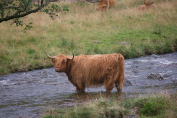 |
| Bad Hair Day COO |
 |
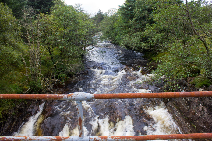
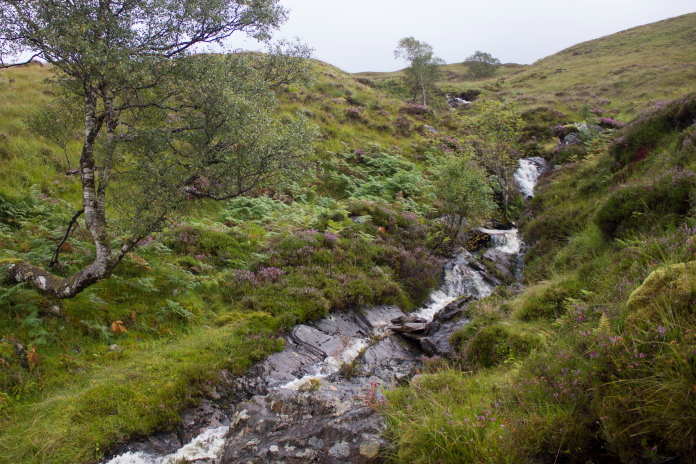
My reward for safely negotiating the herd of Highland Coos was a rather impressive waterfall, the ravine it was crashing into had a set of metal ladders fixed to the rock at its side, not sure if those were so people could go for a swim or just so someone could climb out if they fell in!
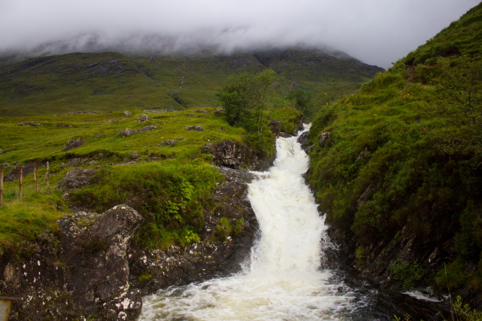
After the pool the water went under a bridge and down an even deeper ravine,
not really ideal for swimming!
above and next three photos:- 'Making my way along Glen Strae!', bit of poetry there!
After getting past the 'Coos' unscathed I still had to worry about getting across the River Strae but as the track dropped down beside the river and turned a corner I came across an ideal solution to the problem.
Above and below:- Phew!, As well as being wide, the river Strae was a bit fast flowing.
Now all I had to worry about was climbing up through that lot!
Walking up the steep track through the plantation of young trees was my version of the film 'Speed'; in that film a bus has been rigged with explosives that will blow up if it's speed dropped below 50mph, well luckily I didn't have to go 50mph and I wasn't in danger of blowing up but if I didn't keep walking quick enough I was quickly enveloped in a mist of nasty little midge intent on sucking my blood, well the female ones anyways, the male ones are vegetarians and don't bite. Still it was good incentive to get to the top.
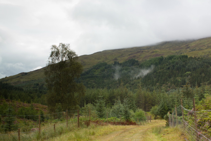
Above and below:- The midge track up through the plantation.
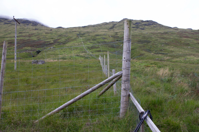
Always pleased to encounter one of these, especially when the deer fence is as flimsy as this one.
I decided to extend my 'Speed' experience by following this burn upstream for a while.
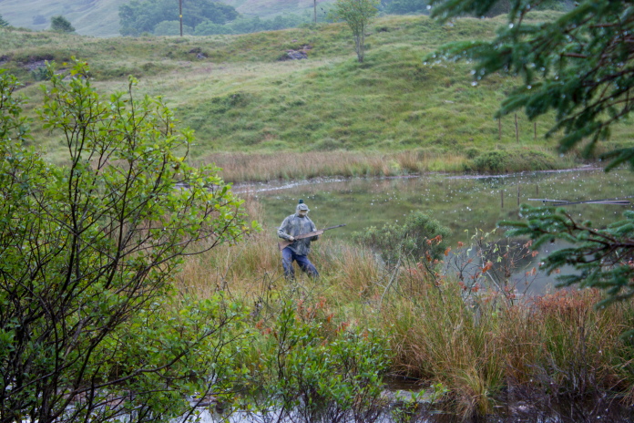
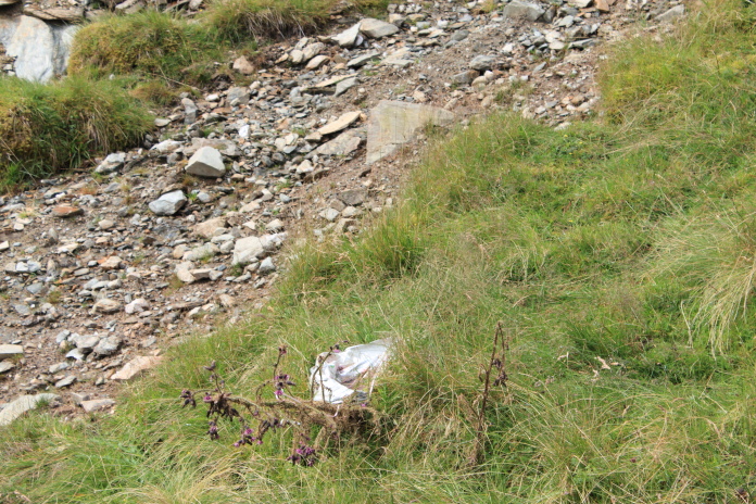
This crashsite was easy to spot even with a facefull of midge, as a piece of stainless steel was sticking up above the heather and glistening in the sun,(when it was out). All that was left is what looks like the very tailend of the jet with the remains of the tailplane still attached.
above and below:- Remains of F100 Super Sabre on Beinn Donachan.
Back down the track through the plantation, it was now later in the day and the midges had clocked off.
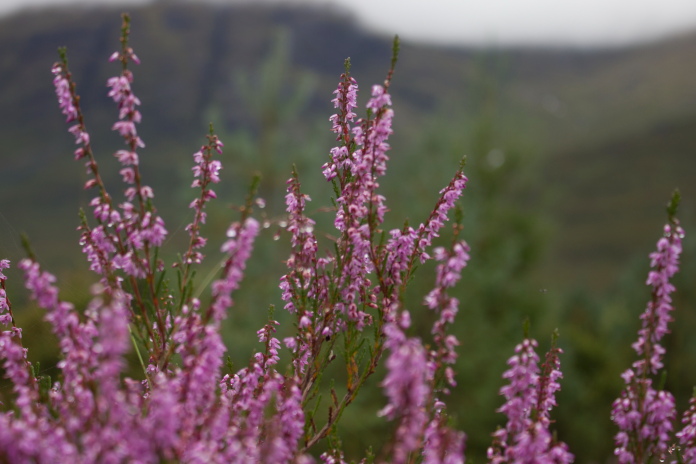
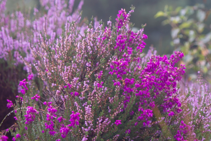
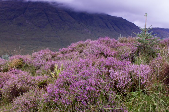
Above and next two photos:- Loads of purple heather and no midge!
above and below:-'Bait time', couple of photos taken from where I ate me butties.
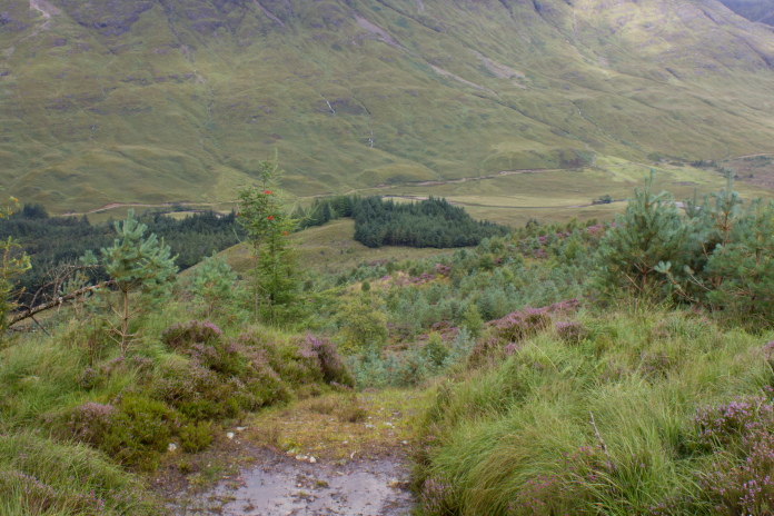
Again it was just a case of reversing my course to get back to the car and, as was the case yesterday on Beinn a Chleibh, the weather was a lot nicer on the walk back but today I had the room key.
The F100 was up the hill on the right above the trees.
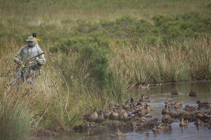
That's a #fail for the duck scarecrow then!
Always a welcome sight no matter how enjoyable the walk!
In July 2018 I returned to Glen Strae with Jim Kesson and Kat Chandler, the son and daughter of the F100 Pilot.(see here)
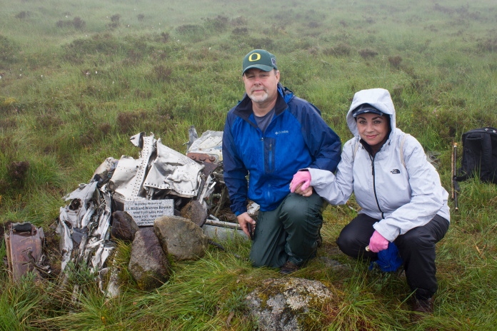
Jim Kesson and Kat Chandler at the crashsite
of their Dad's plane.
On the third day we had checked out of the hotel and were heading straight home when the competition had finished so although the girls had a lift down to Dunoon I had to meet them afterwards, so I didn't have as much time.
Blueberry Esmerelda Muffin II parked next to the
A83 in Glen Kinglass.
I did have plenty of time to go and visit the crashsite of an RAF Tornado that crashed near the road in Glen Kinglass, and the layby where I parked was also an ideal location to meet the girls on their way back from Dunoon.
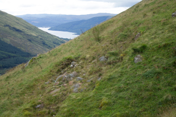
View of the steep slope above the A83 where the Tornado crashed, this photo is very misleading regarding the steepness of the ground.
This one gives a more accurate portrayal.
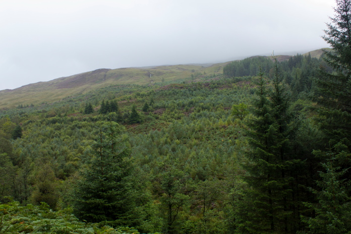
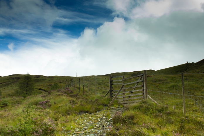
Although this crashsite is very near the road the ground is very steep, so it was going to take a little effort to reach, especially as I had an inaccurate grid reference which had me climbing twice as high as I needed to and searching an area just far enough away to prevent me finding anything.
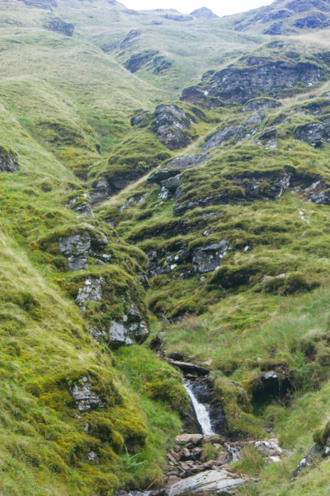
The hillside was covered in gullies like this which didn't make my search any easier.
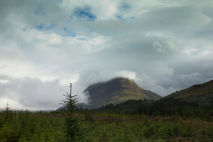
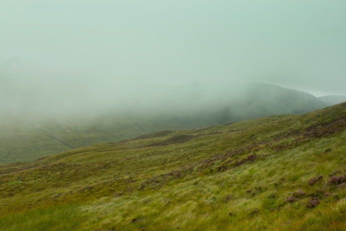
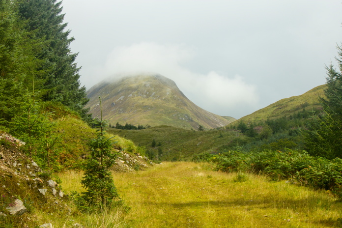
Binnein an Fhidhleir, the mist is pretty much covering the area where I searched.
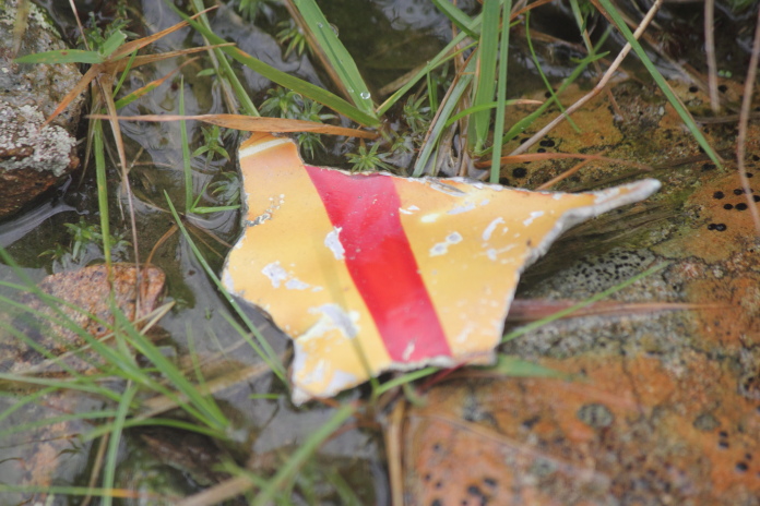
When searching the incorrect area of the hillside I did spot a likely looking scar which also had what looked like a piece of alluminium lying next to it which had me convinced I had eventually found the crashsite.
Above and below:-Scar with a piece of 'alluminium' lying next to it.
After the realisation that the scar had been caused by nothing more than
water erosion and the piece of alluminium was a deflated happy birthday
balloon, I decided I wasn't going to find this one and started off back down the hill.
On the way up the hill after I'd climbed over two deer
fences I'd realised it was an enclosure and if I'd walked 200 yards up the
road I would have been able to walk up the side of the enclosure therefore
avoiding the need to climb the deer fence(twice). So going down the hill I
aimed for the edge of the enclosure therefore avoiding the need to climb
the deer fence(twice) on the way down.
As Homer Simpson would say "DOH!"
As well as avoiding the necessity to unnecessarily climb two tall fences my downhill strategy also had another benefit, it lead me right to the scar that was made by the Tornado, quite a way down the hill from where I'd been searching.
above and next two photos:- The impact scar made by the Tornado above the A83 in Glen Kinglass.
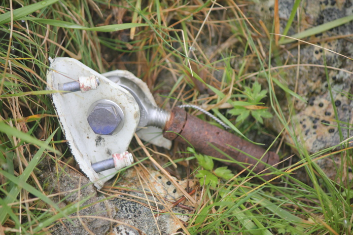
Above and below:-A couple of fragments of Tornado ZE982.
Although I'd walked a lot further than I'd needed to and climbed a lot higher I didn't really mind as it helped fill the time in and there was some spectacular views from higher up. After I arrived back to the car I still had a couple of hours spare so I was able to grab some zzzzz's before the drive home.