Craik Craic
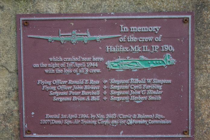
Handley Page Halifax JP190
on Muckle Knowe, Craik
Forest.
(Distance covered =7.0
mile/Ascent =+410m )
"Craik"=Small Hamlet near
Hawick in Scotland.
"Craic"=A term for news, gossip,
fun or
enjoyable conversation.
So now I've clarified the title the craic is the Girls had a lift to the West Park Monthly Competition in Denny,so my plan was to visit the crashsite of HP Halifax NR126 that came to grief on Wether Cairn in the Cheviot Hills. However after the competition they had decided they wanted to go to a Dance Show in Paisley and their lift had to come straight home, so couldn't take them; so my services were required after all. This meant however I could go somewhere we don't usually frequent, as long as it was more or less on the way from Blyth to Cumbernauld, where I was rendevouzing with the Girls at 5pm to take them to their show.
Parked up at Craik Forest Car park at 7.30am.
Halifax JP190 which crashed on Muckle Knowe in Craik Forest was an ideal alternative as it was more or less on the way, about half way and was probably a site I wouldn't usually get the opportunity to visit.
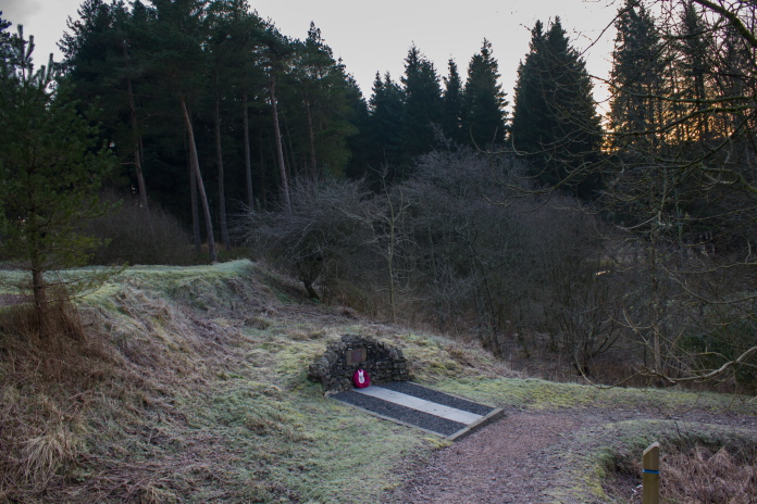
above and below:-Memorial to the Halifax crew, in the Car Park at Craik Forest.
When I parked up at Craik, the temperature gauge in the car was reading -6, this low temperature didn't seem to rise much during the day either but I wasn't bothered as it kept me nice and cool while walking and it also made the going easier, as all the mud had frozen. Later on I would also benefit from some nice photographs thanks to some blues skies, sunshine and the freezing temperatures.
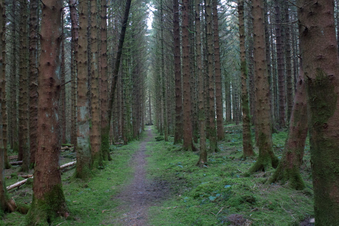
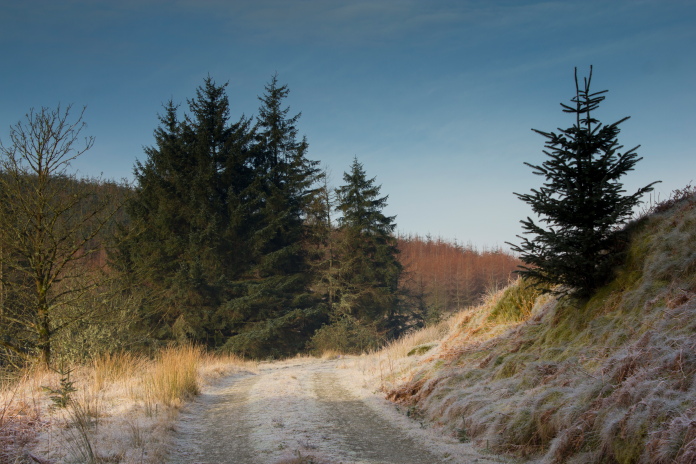
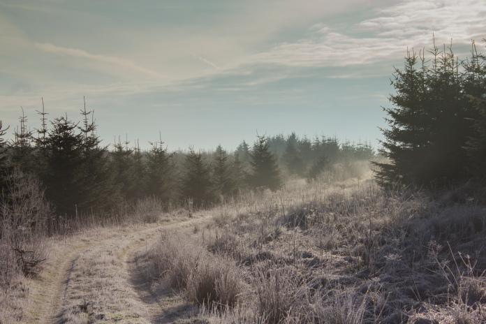
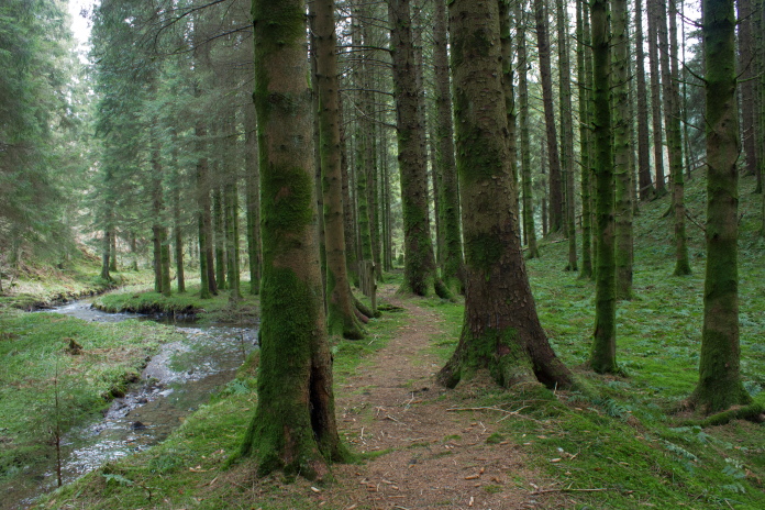
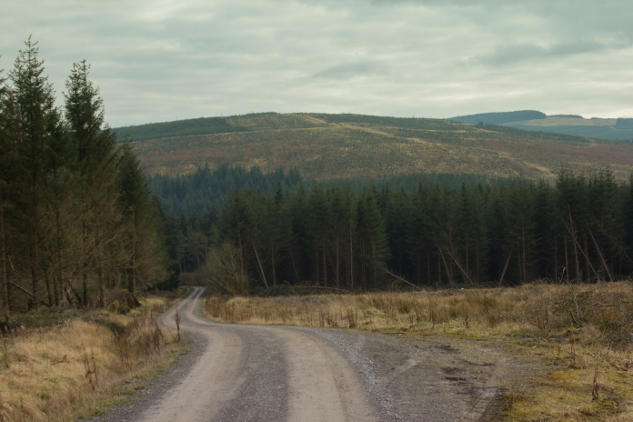
Heading off into the woods on a very fresh morning.
My start to 2016 had been very similar to my start of 2015. In 2015 my first hiking trip of the year had been to the crashsite of three Spitfires on a very windy Kings Seat Hill in the Ochill Hills. My second trip in 2015 had been to a Halifax in Keider Forest. My first outing in 2016 had been to look for the crashsite of a Ju88 on a very windy Linhope Rig in the Cheviot Hills and now my second outing was to a Halifax in Craik Forest.
It may have been freezing but I still had my shorts on!
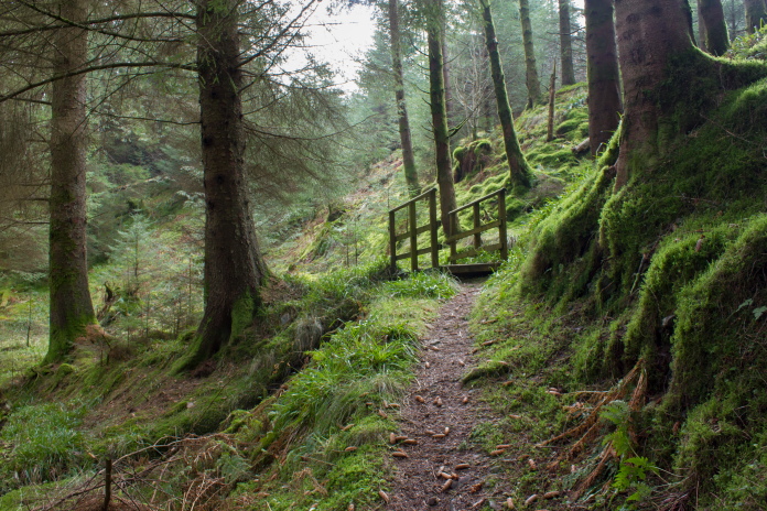
There were several colour coded trails around Craik Forest so for the first mile or so I utilised the Blue trail until I came to a crossroads, the blue trail went straight over but I turned left.
I left the blue Trail here to follow that track
which made it's way up between Knowbog Hill and Muckle Knowe.
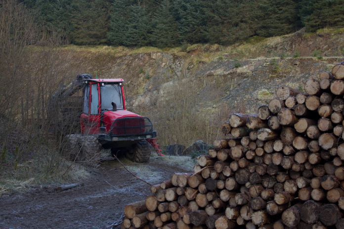
A couple of hundred yards after leaving the Blue Trail there was some signs warning of forestry work, but as I figured they would have had to be pretty keen to get out of bed so early on a freezing cold saturday morning to be at work already I continued.
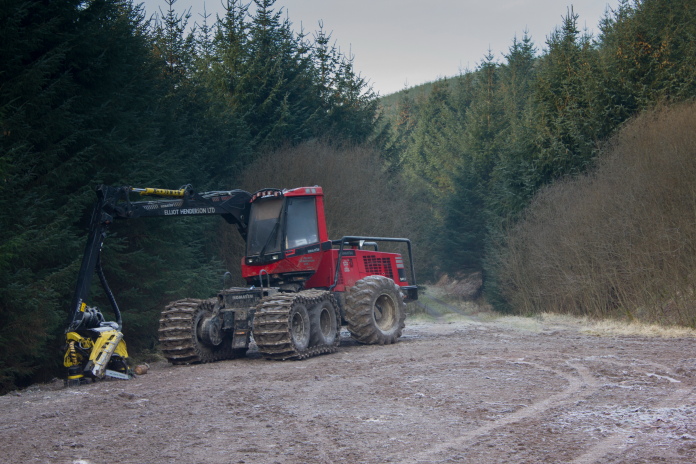
Above and below:-Two more abandoned tractors, well abandoned for the weekend anyways.
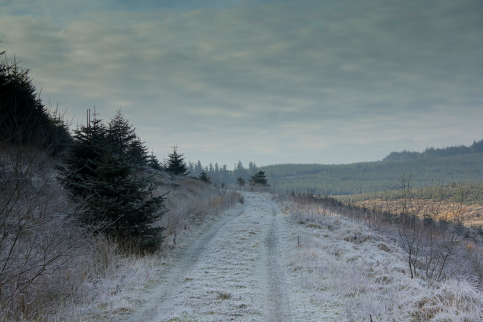
The path gradually gained height on the south side of Knowebog Hill before traversing a baelach between the two hills and descending down the north side of Muckle Knowe.
On the Baelach between Knowebog Hill and Muckle Knowe.
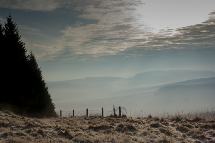
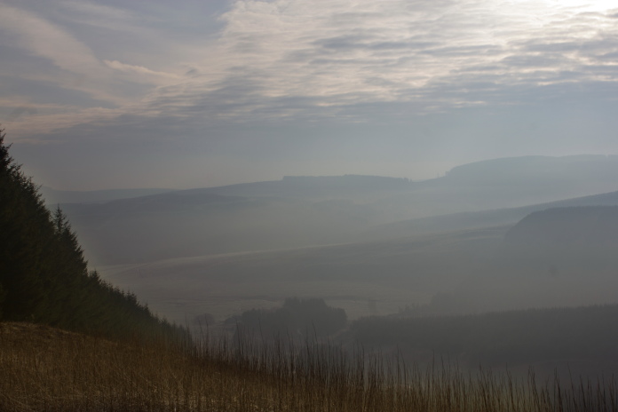
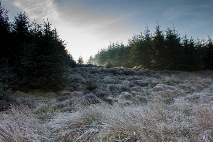
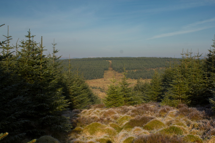
Above and below:-views south from the bealach
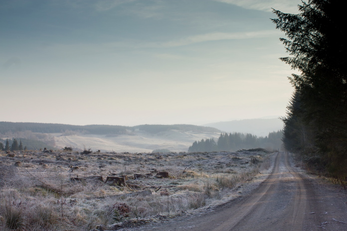
Once over the bealach the track contoured around and down the west side of Muckle Knowe where it was in the shadow of the Hill, out of the sun it was even colder.
Above and below:-The track turned down the west side of Muckle Knowe and out of the sunshine!
Walking along the western side of the Hill I was on the look out for a ride on my left, the Halifax was in the trees near the top of this,so I had to make sure I headed up the right one.
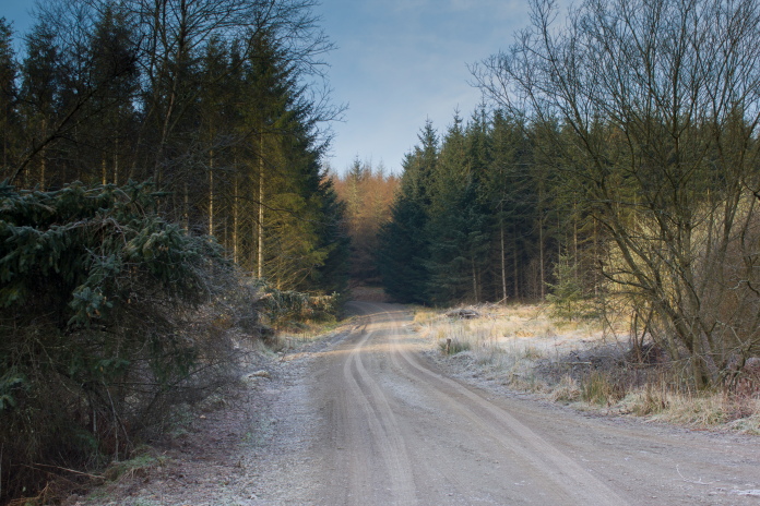
The ride which leads up to the crashsite, the sunshine at the top looked very inviting but did little to raise the temperature.
This crashsite could have proved a nightmare to find as it is surrounded by young trees with their thick foliage going right down to the ground, but luckily because it is right next to the forest ride it was very easy to locate. I've seen photos of this site taken in the 1970's when there was considerably more wreckage scattered over a much larger area. However the photos also show the crashsite surrounded by much more mature trees, so the trees must have have been felled and replanted since then, and most likely the site was tidied up when this was done, with a lot of the wreckage being either removed or buried.
The wreckage is visible from the ride.
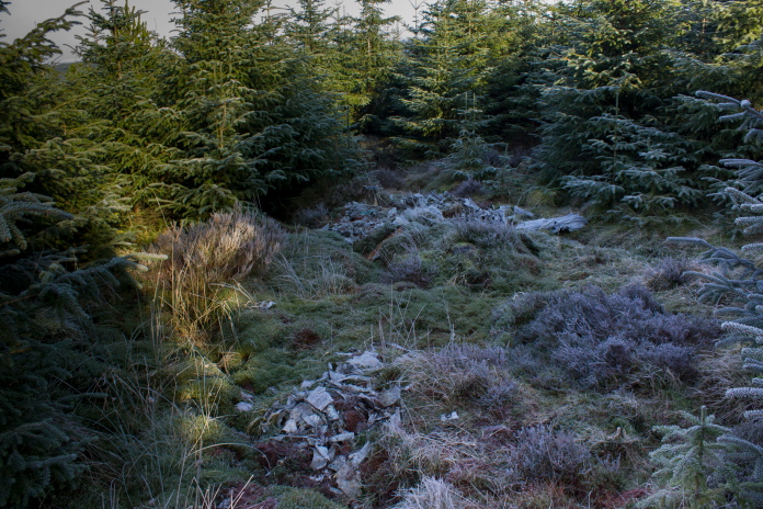
Most of it is buried, the two small collections of wreckage visible on the surface had the appearance of being the exposed tops of two burial pits.
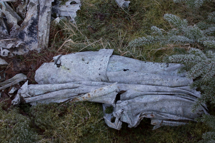
This crumpled panel was one of the larger parts.
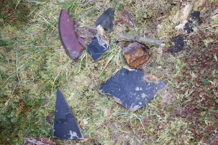
Someone had collected these pieces of perspex together nearer to the ride.
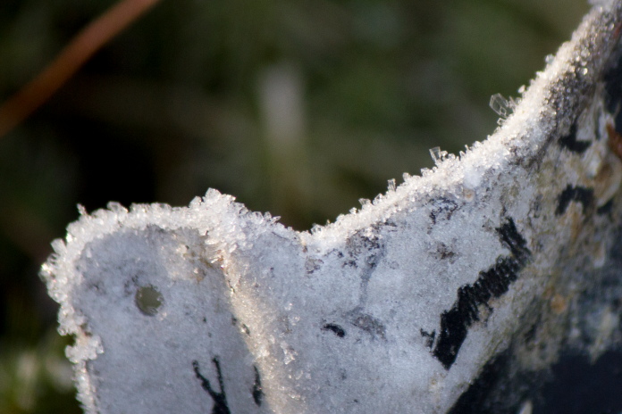
Very thick piece of perpex, painted black on one side.
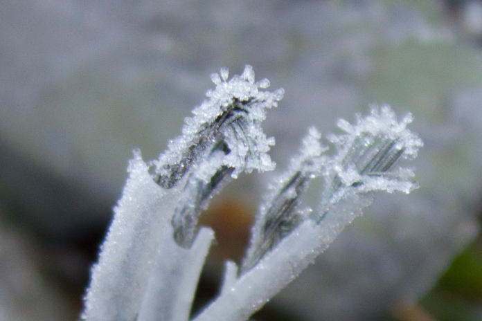
Frozen Wires from the Halifax wreck.
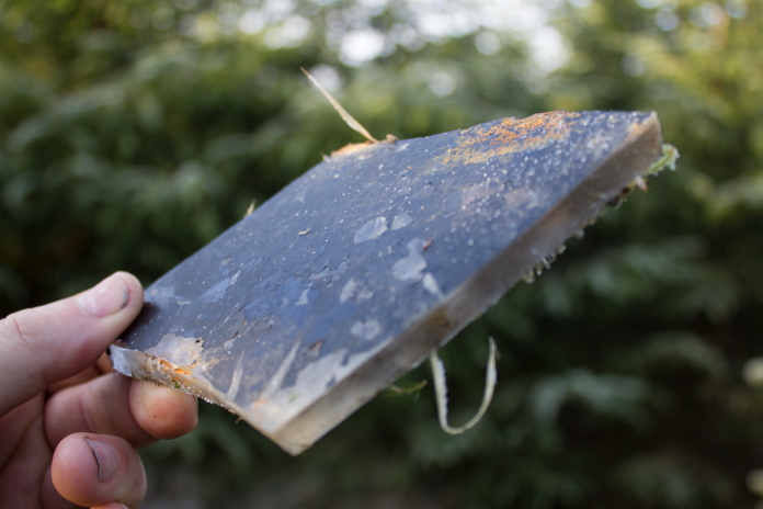
Ice crystals on a piece of Halifax alloy.
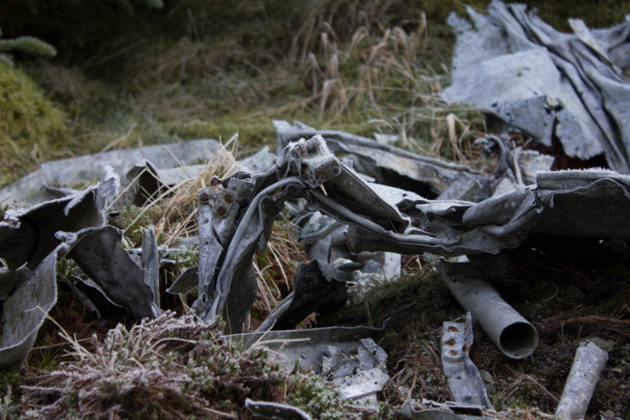
Some of the larger pieces lying on the surface.
At the top of the ride and back in the sunshine.
Halifax wreckage is in the trees to the left.
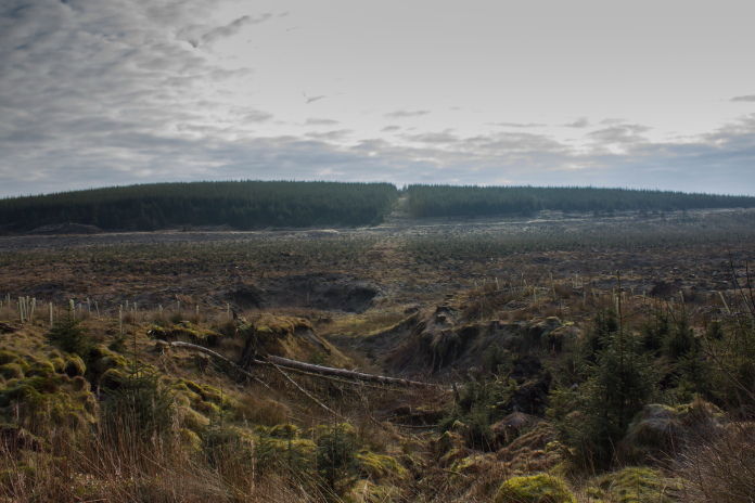
As the remains of the Halifax lie only a couple of miles from the carpark I had decided beforehand to extend my walk by following the track another half a mile past Muckle Knowe to an area called 'Red Scar'. At Red Scar it looped around onto the other side of the glen and returned via the north side of Knowebog Hill, so once at the base of the ride instead of turning right to return I turned left.
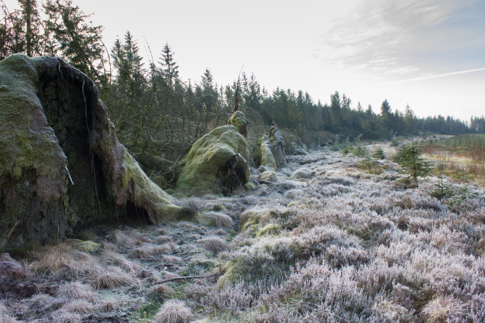
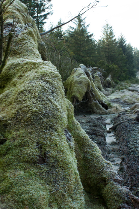
Above and below:- This wall of upturned tree roots stretched out for over half a mile.
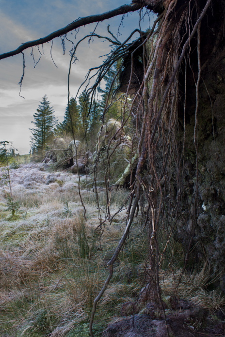
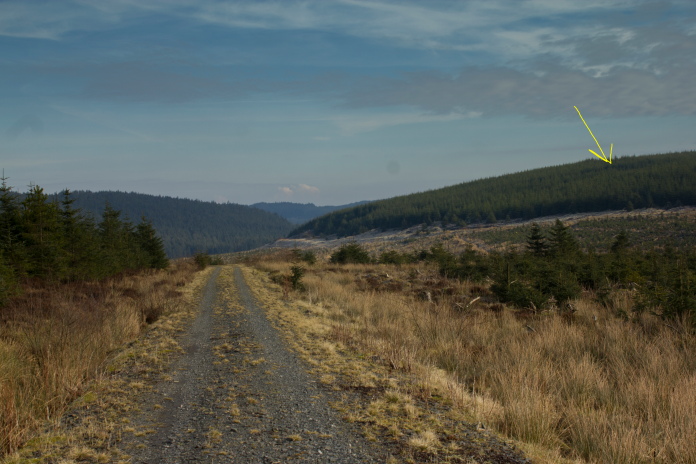
Returning down the other side of the glen,The yellow arrow points to the location of JP190.
Passing Tod Holes directly opposite the ride on Muckle Knowe.
The other side of the Glen was bathed in sunshine.
Knowebog Hill on the right , the track for
my return route followed the lower edge of the trees
Along the northern edge of Knowebog Hill looking back to Muckle Knowe.
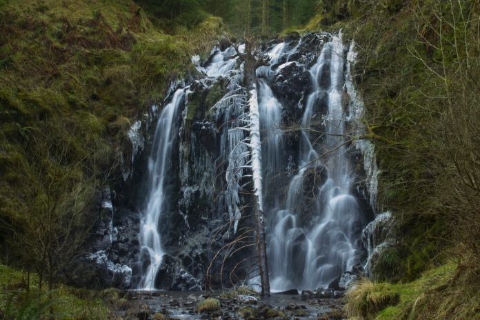
Another reason for making this walk into a circular route was to hunt out Wolfcleughead Waterfall, which lay in a ravine to the north of Knowebog Hill, after visiting the waterfall I could then pick up the blue trail again back to the carpark
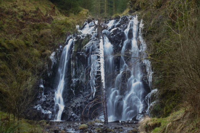
Above and below:-Knowing there was a waterfall I went prepared with a tripod so I could use a slow shutter speed to capture the waterfall.
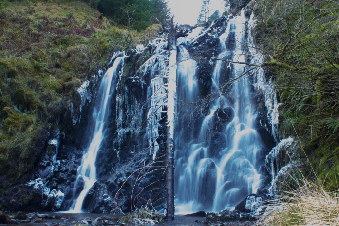
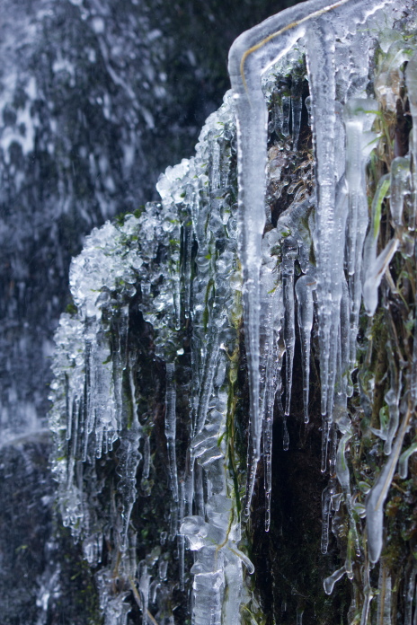
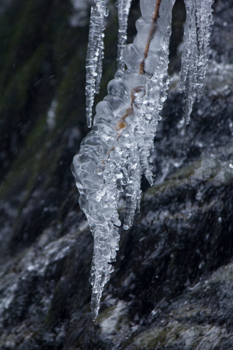
A bit of a bonus was all the icicles hanging off the edges of the waterfall.
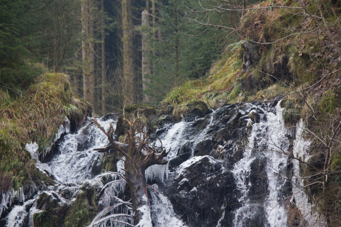
I bet the waterfall looked impressive when
that tree
trunk was washed over the edge!
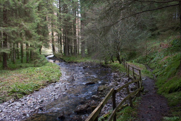
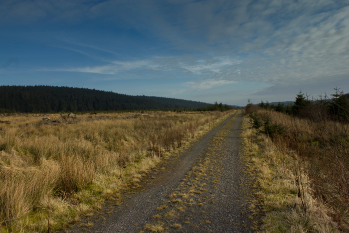
Above and next 2 photos:-Following the Blue trail alongside the Aithouse Burn.
Back on a forest track for the last half mile back to the carpark.
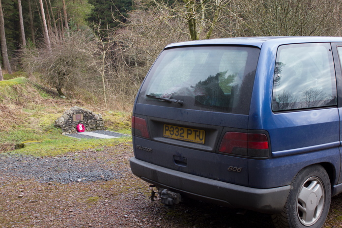
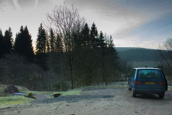
Blueberry Esmerelda Muffin II parked near
the Halifax Memorial
at a slightly warmer carpark than when I left.