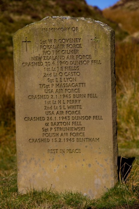
Sun, snow and Lightnings.
Lockheed P38 Lightning 23-12905 on Dunsop Fell,
Consolidated B24 Liberator 42-100322 on Burn Fell
and
Lockheed P38 Lightning 42-12928 on Baxton Fell.
(Distance covered =
8.15 mile/Ascent =+346m)
The second day of my first ever wreckhunting trip to the Forest of Bowland in the Easter holidays of 2021. The previous day I had completed a walk of just under 14 mile and visited 4 crashsites, today I was planning on visiting another 6.
As well as being my first time walking in the Forest of Bowland it was also my first time away in my new car, which had proven quite comfortable to sleep in the night before albeit a little on the chilly side as the temperatures had dropped to well below freezing during the night.
The new Shitroen parked up at the road end
above Slaidburn, the shiny area of the road was ice.
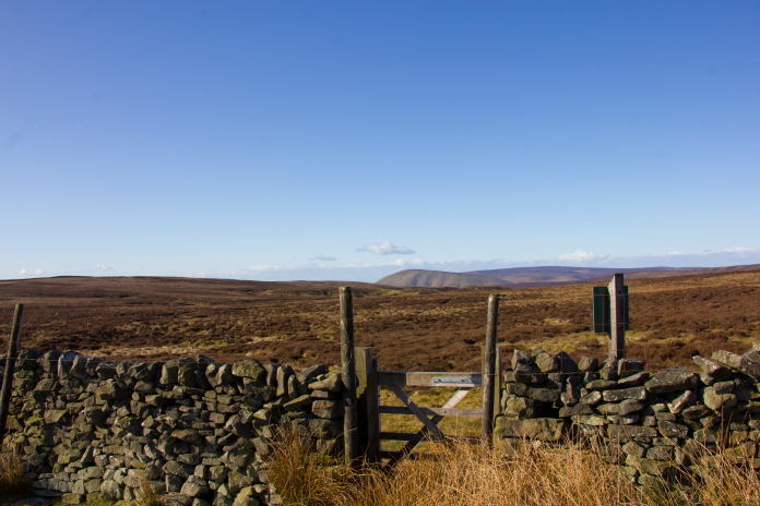
There was no where obvious to park on the lane where I wanted to start my walk but luckily the farmer came up in his Landrover to check on something and gave me permission to leave the car adjacent to one of his gates. I didn't have a definate grid reference for a couple of the crashsites I was going to look for so asked the farmer if he knew anything of them; although he could remember going up to see one of them with his dad just after it had crashed he couldn't remember which one it was or the location.
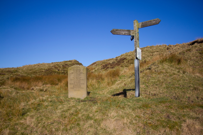
Above and below:-Another memorial stone near to where I parked the car.
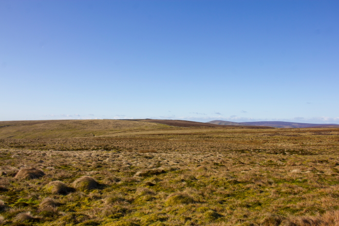
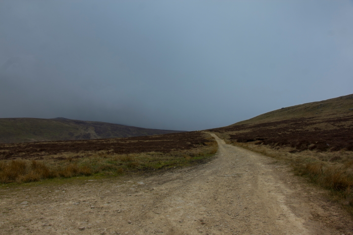
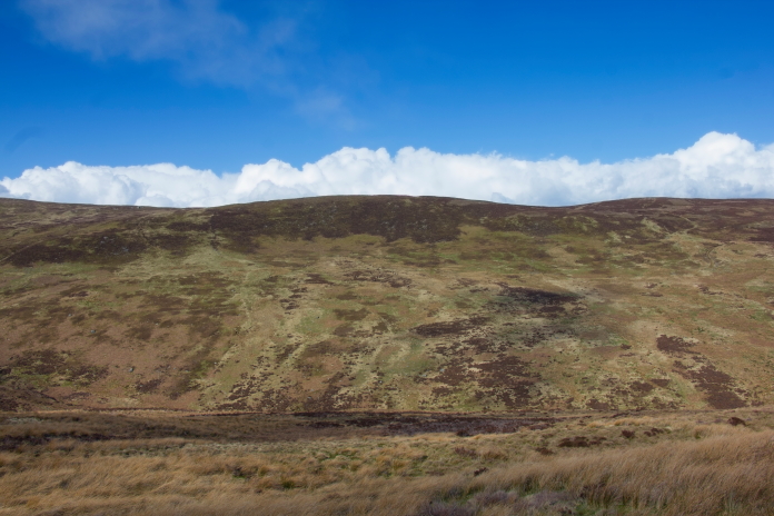
The first part of my route was up a well defined but eroded path that lead up to Dunsop Head. Once I reached Dunsop Head I would head south to where a B24 ended it's days near the summit of Burn Fell. Along the way I would pass the site of a P38 and the possible location of an AW Whitley.
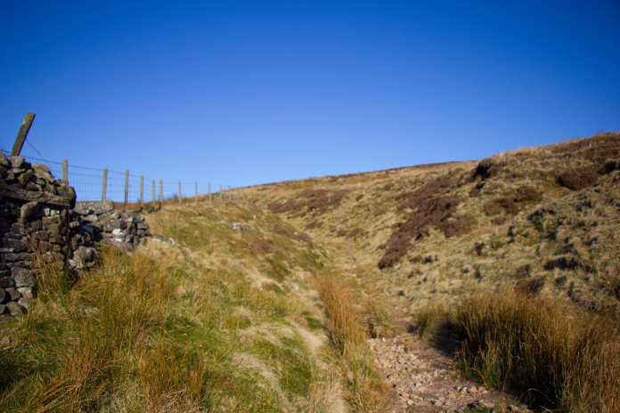
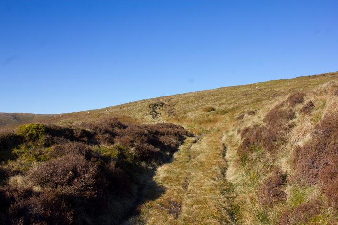
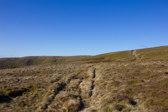
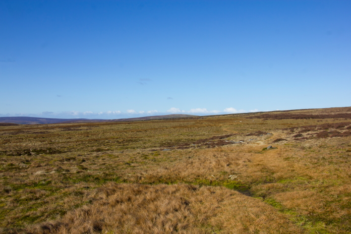
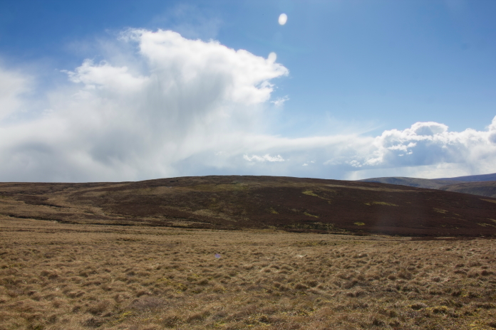
Above and next 3 photos:- Making my way up to Dunsop Head on a sunny but bitterley cold morning.
Arriving at Dunsop Head.
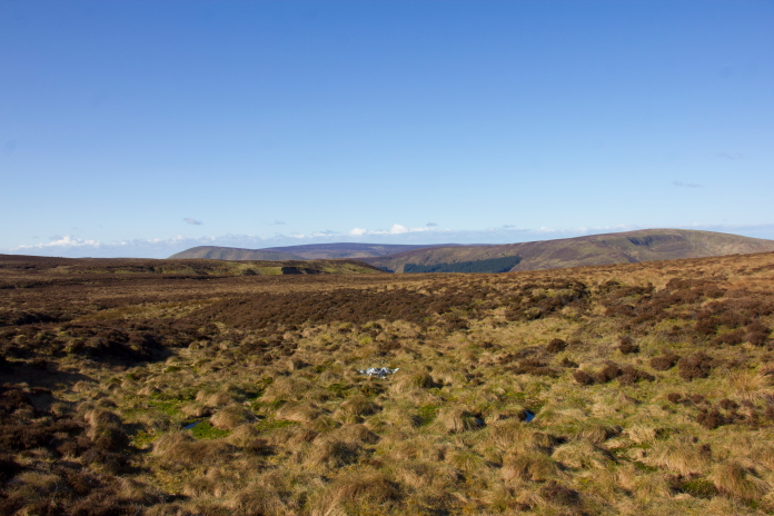
View from Dunsop Head across to Burn Fell, the summit of which is visible on the skyline just left of centre.
The remains of P38 42-12905 lie in a boggy hollow very near to Dunsop Head and consist of a small pile of twisted pieces. There are meant to be some other small collections of wreckage in the vicinity but after a quick search around I failed to find any of those.
After the P38 I headed over to a grid reference I had been given for the possible location of the crashsite of AW Whitley K9048. The person who gave me the grid refrence had also informed me the site had been "Hoovered up by an old school enthusiast", so I wasn't that hopefull on finding anything; I didn't find anything!
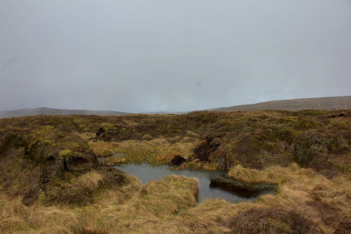
The area where I searched unsuccessfully for Whitley remains.
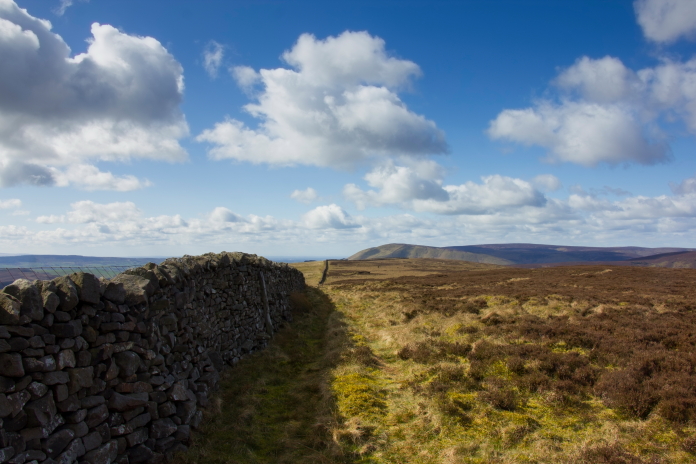
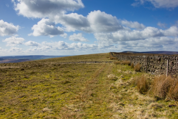
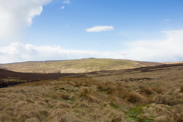
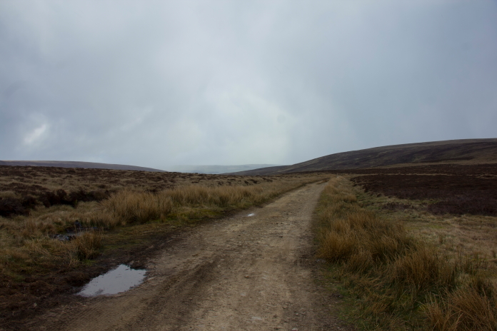
above and below:-Following the boundry wall along to the B24 site.
The crashsite of B24 42-100322 was very easy to find as there was a large scar lying right next to the wall that runs over Burn Fell from Dunsop Fell. There used to be some large sections of undercarriage at this one buit unfortunately they have now been removed.
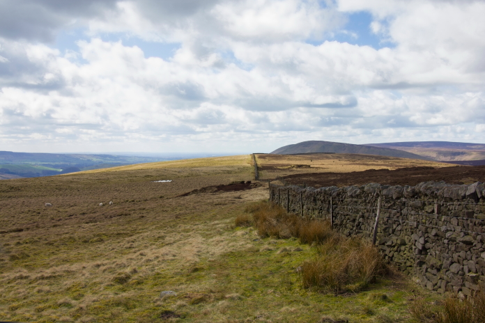
From the B24 I now had to backtrack along the wall to Dunsop Head again where I would continue following a fence north for a mile of so onto Baxton Fell where there was reported to be some subtantial remains of another P38.
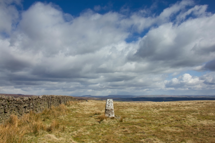
Passing the trig pillar on Burn Fell on my way back to Dunsop Head.
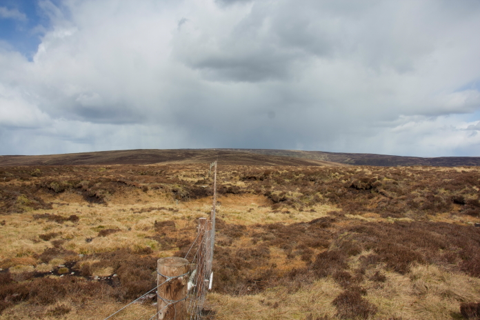
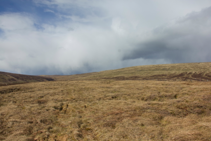
Long straight fence to keep me on track to Baxton Fell.
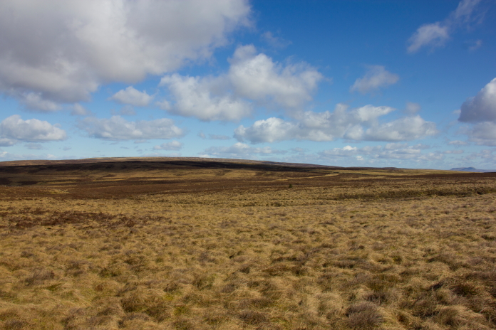
While making my way over onto Baxton Fell the weather took a turn for the worse and I got to enjoy several hailstone showers. It was at this point that I decided it might be a bit over ambitious to try and make it over to Wolfhole Crag where crashsite number 5 and 6 on my itinerary were located. Indeed the farmer I spoke to earlier had told me it would be a bit of a trek to make it over there and back.
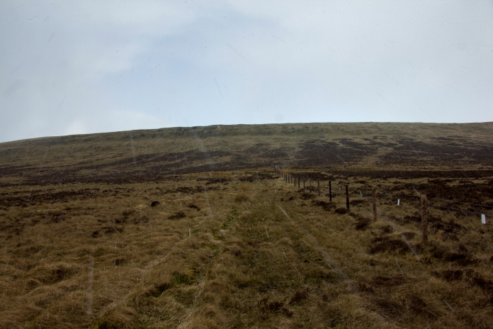
Where the long straight fence turned west
for a short distance I had to leave it and head off into the clag to look
for P38 remains.
Luckily the hailstones didn't hang around for long and the sun was soon out again, this made it possible for me to have a search around with the binoculors for bits of P38 and convinced I'd spotted some I started walking over to what turned out to be some metal shooting butts.
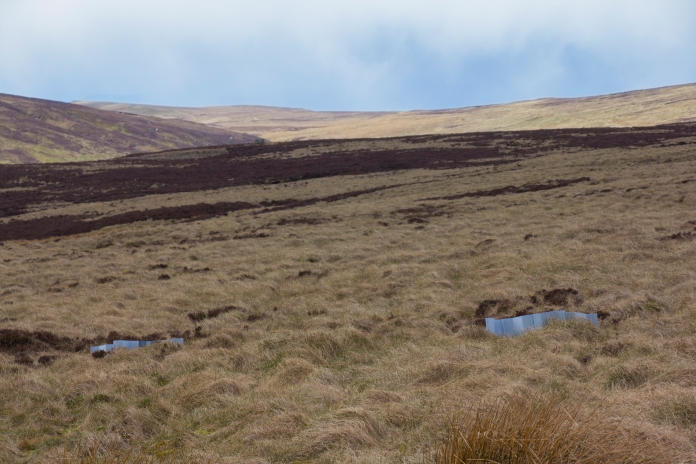
Shooting Butts on Baxton Fell.
After leaving the P38 site I continued walking north to intersect a Roman Road that was called the Hornby Road. As the sun was back out again I contenplated turning left when I reached this road and following it for a couple of miles to the north west to where I could pick up a track over onto Wolfhole Crags.
View back to Baxton Fell and the crashsite of P38 42-12928.
View over to Wolfhole Crags from Stony
Cleugh Head.
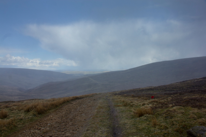
Almost at the Hornby Road. The storm clouds
are gathering again.
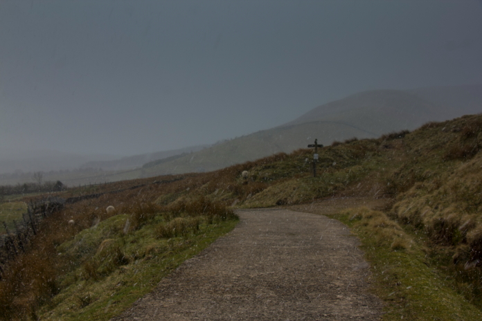
Snowing.
By the time I was standing on the Hornby Road it was bleezing it down with snow and Wolfhole Crags had been obliterated by the clag, instead of turning left therefore I turned right instead and started walking down the Hornby road back towards where I'd left the Shitroen.
above and below:-Left or right at the Hornby Road.
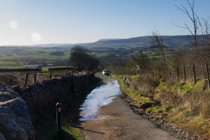
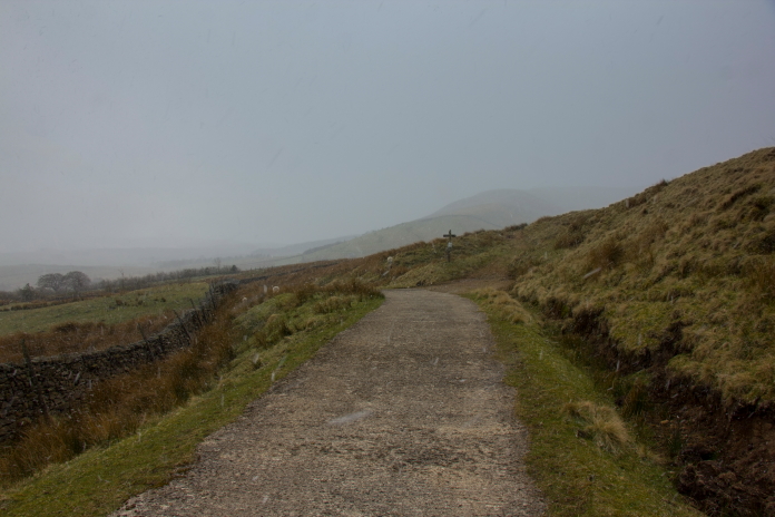
The road back to the car.
Sunny again.
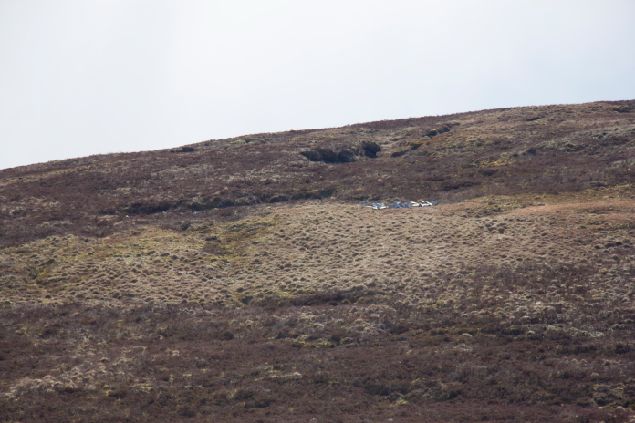
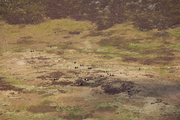
above and below:-The strange black and white objects on the hillside opposite on closer inspection turned out to be Belties.
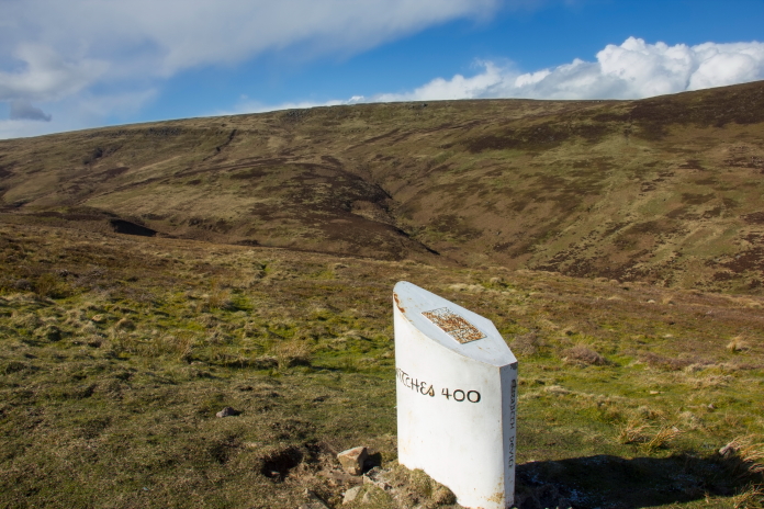
A memorial type stone but about the local witches.
above and below:-Snowing again.