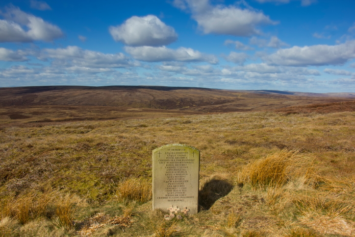
Stake Pye.
NA Mustang AP208 on Holdron Moss,
BP Defiant N1651 on
Hawthornthwaite Fell, Douglas C54 45-543 on Stake House Fell and Bristol
Blenheim BA246 on Bleasedale Moor.
(Distance covered =
13.7 mile/Ascent =+821m)
The Easter holidays of 2021 and the covid 19 restrictions were still ongoing, one of which being Scotland was closed. The previous year under similar circumstances I had enjoyed a few very enjoyable walks down in the Yorkshire Dales; this year I ventured a little bit further and made my first ever visit to the Forest of Bowland.
Although the area is called 'Forest of Bowland', there aren't actually that many trees; this is because a 'Forest' was originally the name for a large area of uncultivated land, which was usually preserved for Royal Hunting. Because the land was uncultivated, trees and scrub would be left to grow unhindered so over the years the definition of the name forest gradually changed to mean an area of trees. So when I set off on my walk to visit 5 crashsites it wasn't into a forest but up onto open grouse moorland.
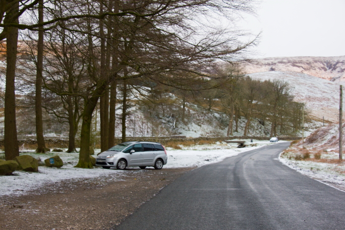
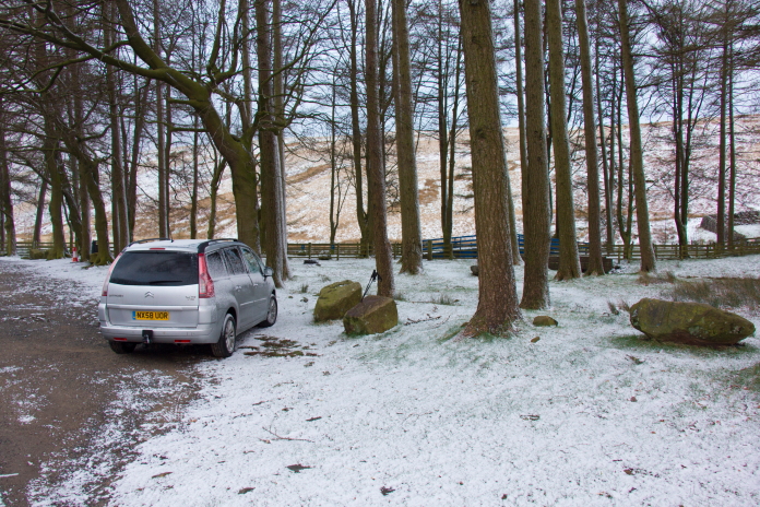
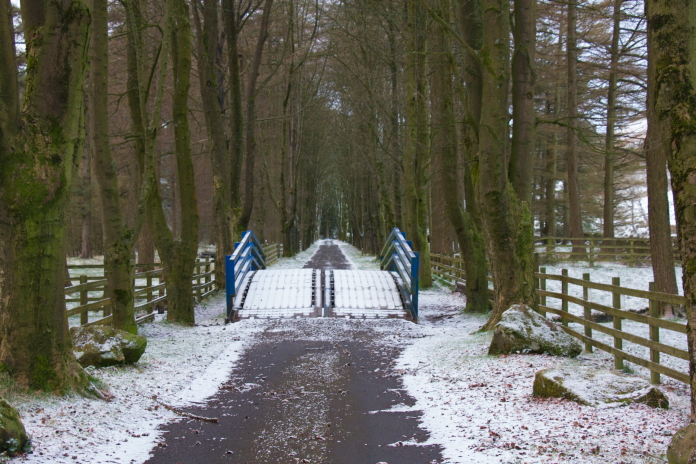
above and below:- My new campercar parked at the start of my walk, not as good as Blueberry Esmerelda Muffin II but infinitely better than the little black MKIV Golf.
The weather forecast was quite favourable so I had driven down during the early hours of the morning to get a very early start, arriving just before daybreak. Just as I was about to leave it started snowing and didn't stop until there was a good couple of inches lying on the ground. Thinking that was my days wreckhunting scuppered I set off down the valley with the intention of a least visiting the ruins of Langden Castle and perhaps acquiring some nice photos in the snowy conditions.
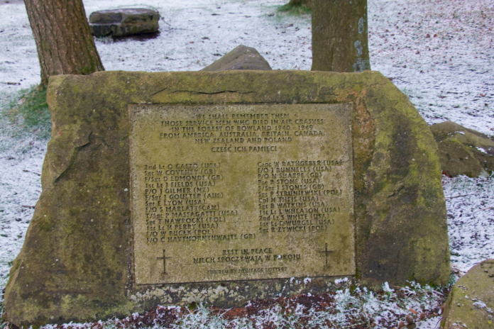
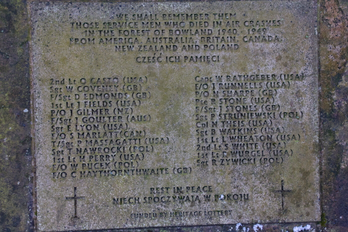
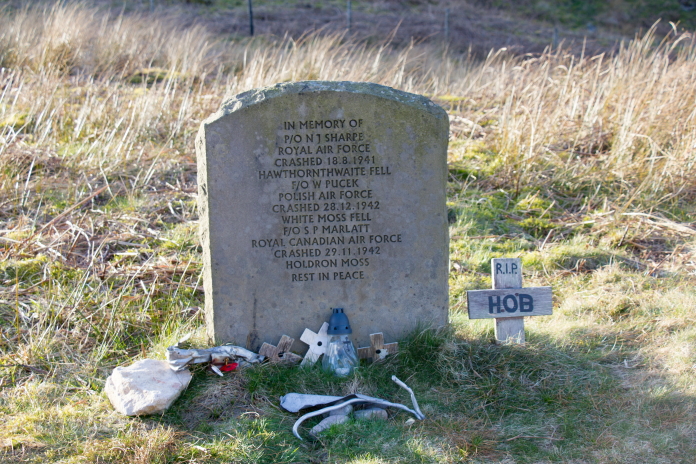
above and below:-A memorial stone next to the carpark, this is one of several dotted around the area.
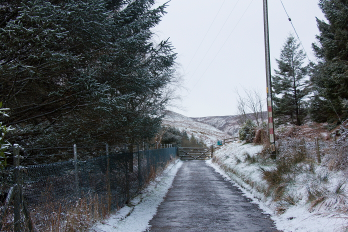
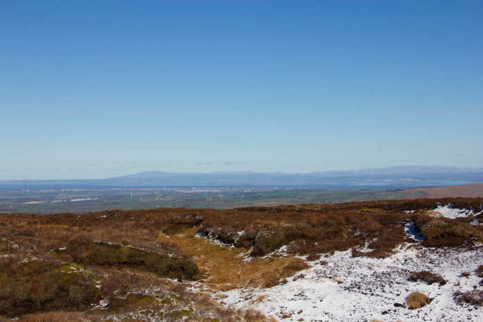
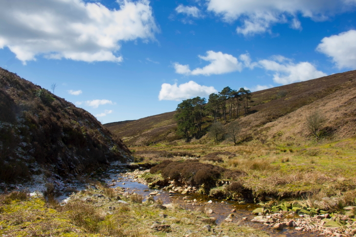
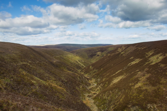
The first mile of walking alongside the Langden Brook proved to be very cold and quite bleak, but then the sun made an appearance, things warmed up a little and the snow began to melt. When I reached a track I needed to take which made it's way up the hill on my right towards the first crashsite on my planned route I decided to go for it in the belief the snow may have disappeared by the time I got there.
above and next two photos:- A bit cold and bleak for the first mile!
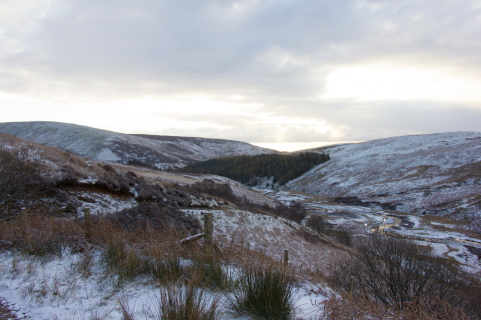
View back down the valley.
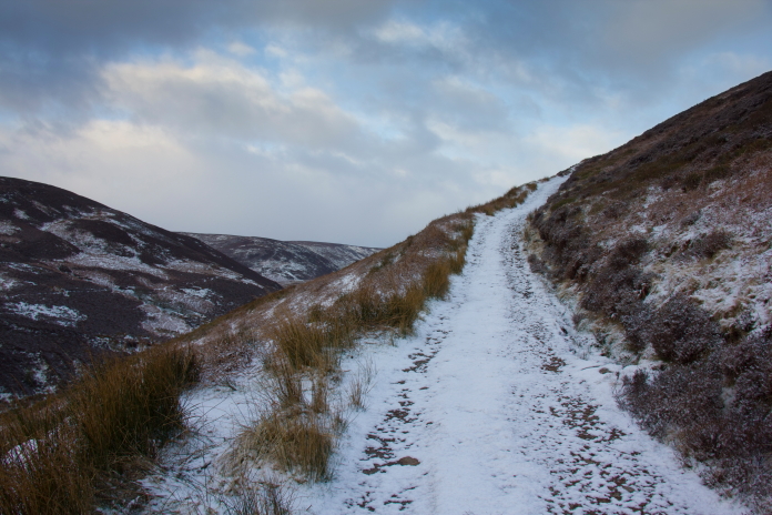
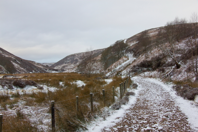
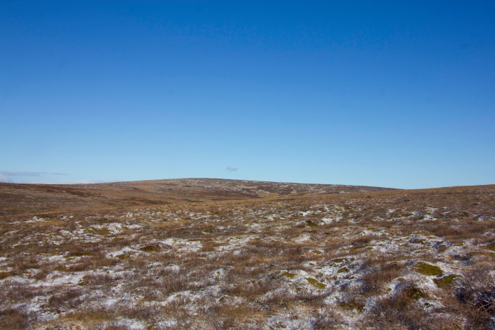
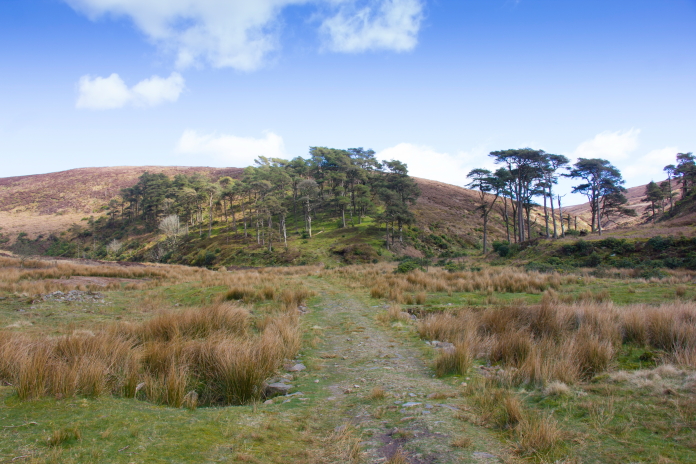
above and next three photos:-Making my way onto Holdron Moss as the sun begins to melt the snow.
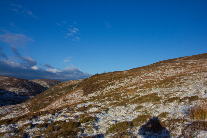
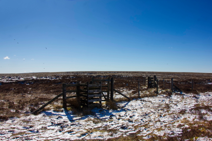
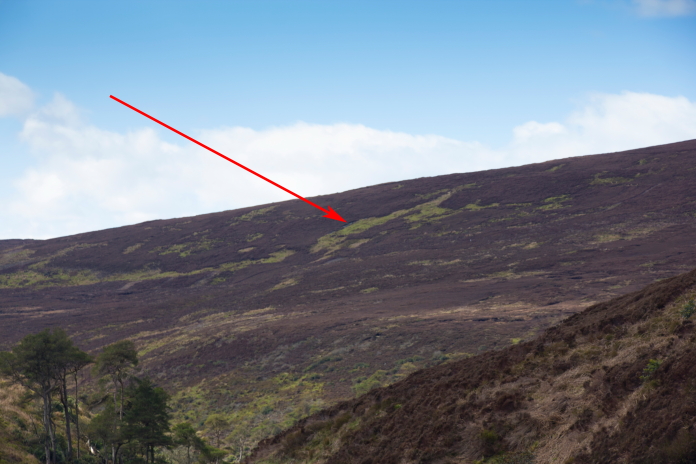
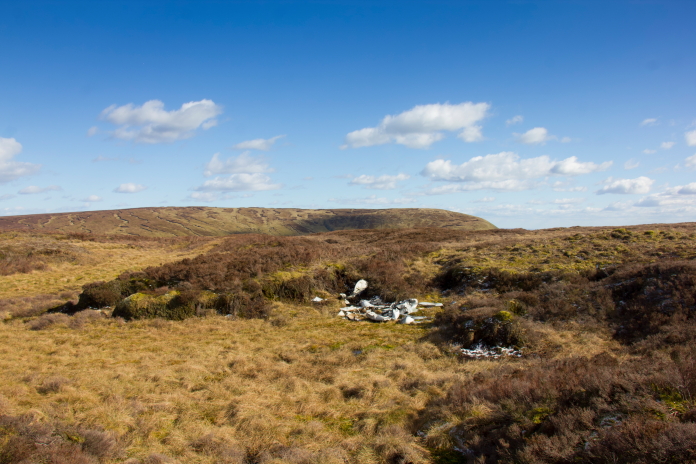
It wasn't very far to walk at all to reach the remains of an RAF Mustang that crashed on Holdron Moss, so by the time I arrived in the area there was still a covering of snow, but not enough to totally conceal the wreckage so I was able to find it quite easily.
Approaching the remains of Mustang AP208.
Crashsite on Holdron Moss.
After photographing what remained of the Mustang and of course paying my respects I had to decide whether to proceed on my planned route or call it a day because of the snow and return to the car, content that I had at least managed to visit one wreck.
Looking back down to the Mustang site.
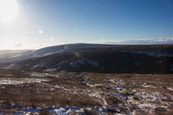
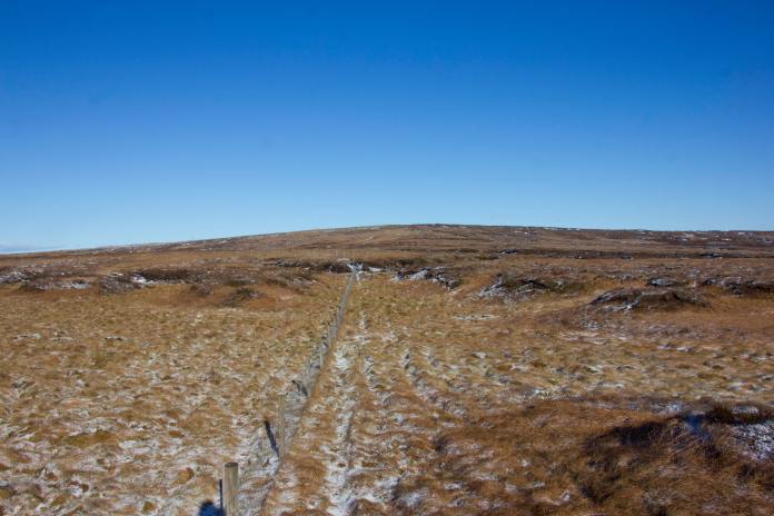
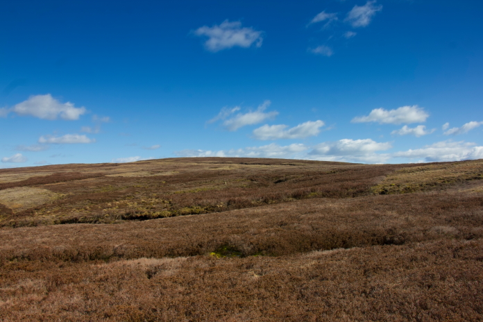
Hawthornthwaite Fell Top in the distance, my next objective lay over the other side of that.
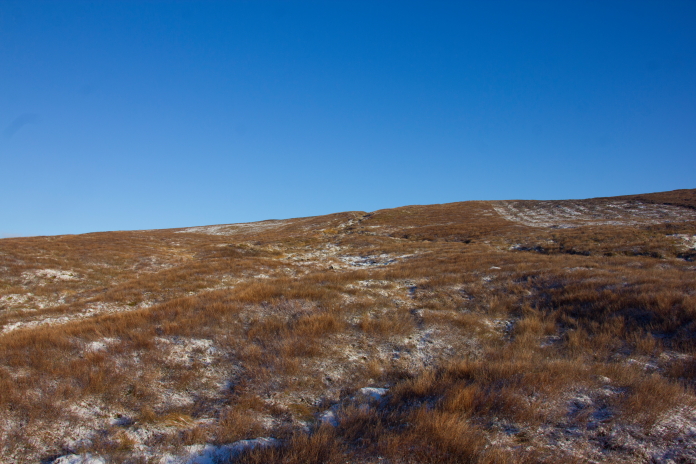
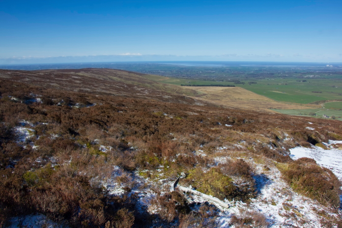
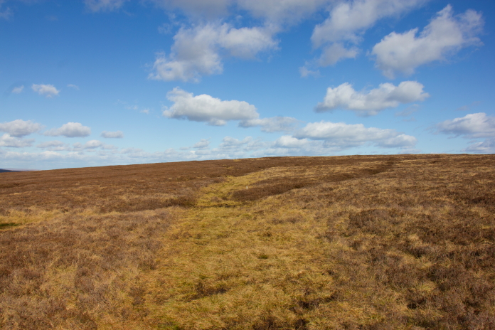
Although there was still a bit snow lying around it was melting rapidly in the sunshine so I set off towards Black Cleugh Head where I was pleased to find a comparitely easy going path that followed a fence, which went south initially passing an area called Lingy Pits, but then turned north west before eventually ending up on the large flat summit plateau of Hawthornthwaite Fell.
Approaching the summit of Hawthornthwaite Fell.
Wreck two on my route lay just over the other side of Hawthornthwaite Fell summit so my plan was to walk to the trig pillar on the top then take a compass bearing from that down to where the crashsite of Boulton Paul Defiant N1651 was marked on my map; although I now possess a gps I still prefer trying to find the sites the old fashioned way first.
On the summit, no sign of any trig pillar.
After walking across the summit plateau without coming across any trig pillar I figured it must have been hidden behind a peat hag or something, so I started backtracking a bit to look for it. It had actually fallen over and I had passed within feet of it as technically it was hidden behind a peat hag.
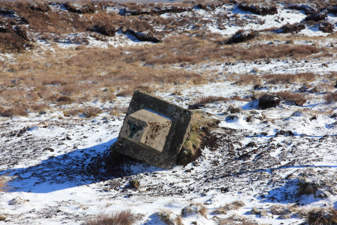
I didn't notice it walking from the other direction.
The area where N1651 ended it's final
flight.
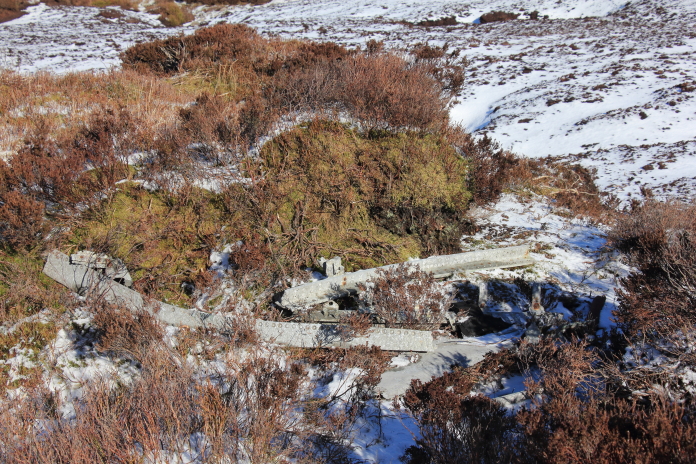
above and below:-Not much left at this site.
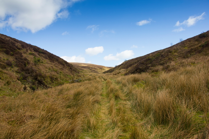
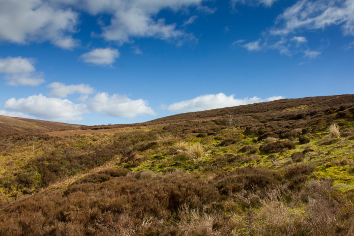
After the Defiant my next objective was 2.5 mile away across the moors, but to break the distance up a bit I was going to have a bit of a search on the way for any remains of Spitfire AD230 which is reported to lie on an area called White Moss.
Making my way across to White Moss
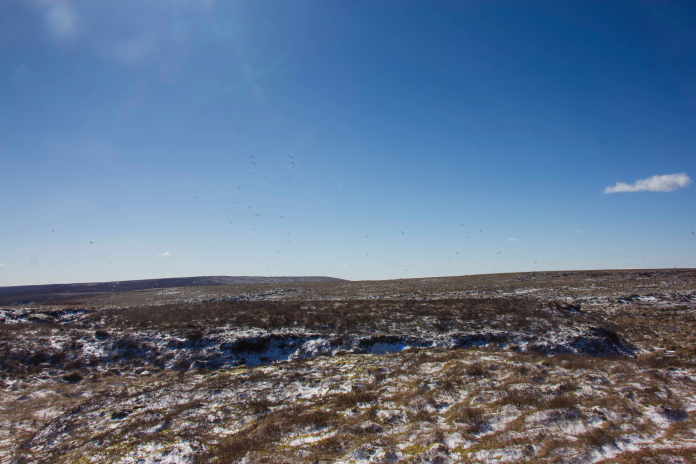
Passing the delightfully named area of Johnny Pye's Cleugh Top.
Just visible on the photo are some of the hundreds of Seagulls which were
roosting here and making a bit of a racket in protest of me disturbing
them.
The whereabouts' of AD230's final resting place has been the subject of several unsuccessful searches in the past so I didn't hold much hope of finding anything, but nonetheless I spent an hour or so searching around the grid reference I had been given just in case I got lucky.
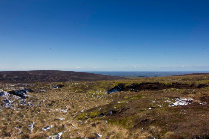
Above and below:-On White Moss searching unsuccessfully for any signs of AD230. The small patches of snow that were yet to melt didn't help.
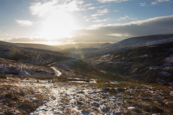
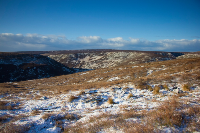
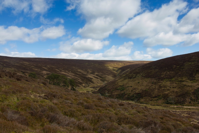
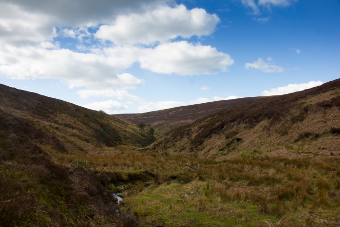
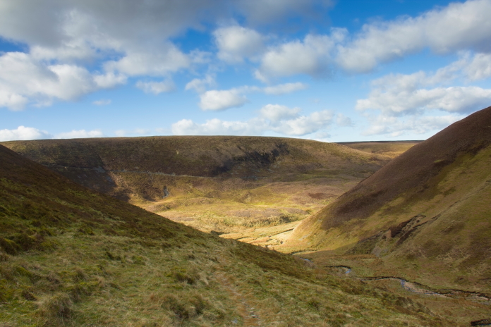
After my ftf on White Moss I still had about 1.5 mile to go to reach another crashsite which lay on the southern slopes of Steak House Fell. I had two options: Stay high and walk around the ridge then drop down, or drop straight down into the valley below, walk along that then climb back up to the crashsite. I initially chose the first option but after going a couple of hundred metres I changed my mind as the going was quite tough through deep heather and peat groughs.
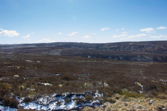
View across to Stake House Fell from White Moss.
Down in the valley of the River Calder.
View over to Bleasedale Moor from the lower
slopes of Stake House Fell.
The river Calder running from left to right with the East Grain burn joining it to the right of the photo. The East Grain burn was my chosen route to the top of Bleasedale
Moor.
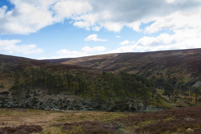
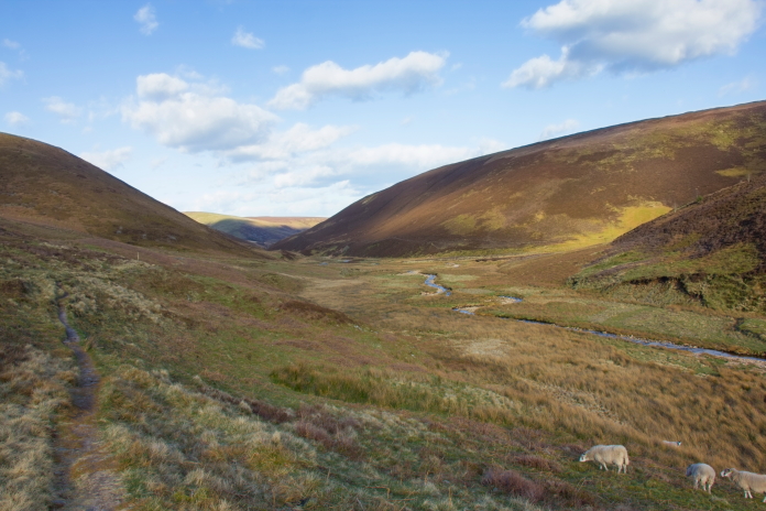
Dropping down into the valley proved quite hard going as well but once down there it was a very pleasant walk alongside the river Calder to reach the buildings at Arbour, where there was also a nice little track to follow back up the hill.
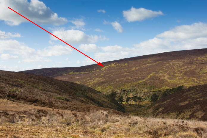
Approaching the crashsite of Douglas C54 45-543. Wreckage lies in the
light green area in the centre of the photo while the impact area is
uphill near the right of the photo.
Back down in the valley on my way to crashsite number 4 of the day.
Hauling myself up onto Bleasedale Moor from Arbour proved to be the hardest work of the day but I consoled myself with the fact that the C54 crashsite was the farthest point from the car so I was now on the return leg.
Following the East Grain Burn onto Bleasedale Moor.
above and next two photos:-View back over to the crashsite of C54 45-543.
above and below:-Tough going up onto Bleasedale Moor.
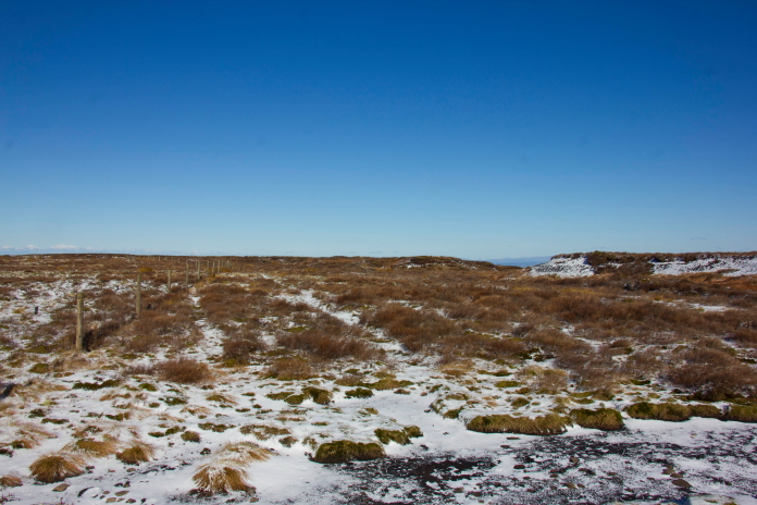
I was quite relieved when I reached a Landrover track that ran across the top of Bleasedale Moor, after walking along it for a distance I came upon another memorial stone and just over the other side of the track hidden behind a peat hag were the remains of Bristol Blenheim BA246.
above and below:-The memorial stone and Blenheim remains on Bleasedale Moor.
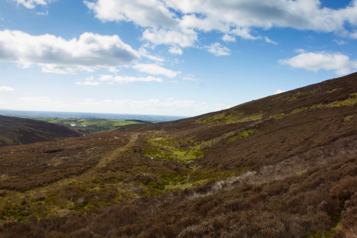
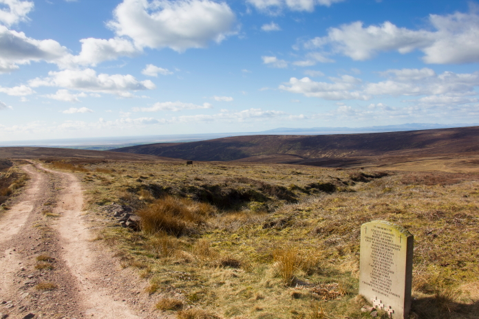
After the Blenheim I had intended to visit another site which lay about a mile as the crow flies to the south, but it was now quite late in the day and I still had a good few miles to walk back to the car so I erred on the side of caution and decided to leave that one for another day.
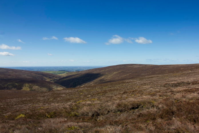
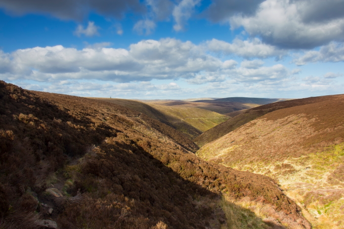
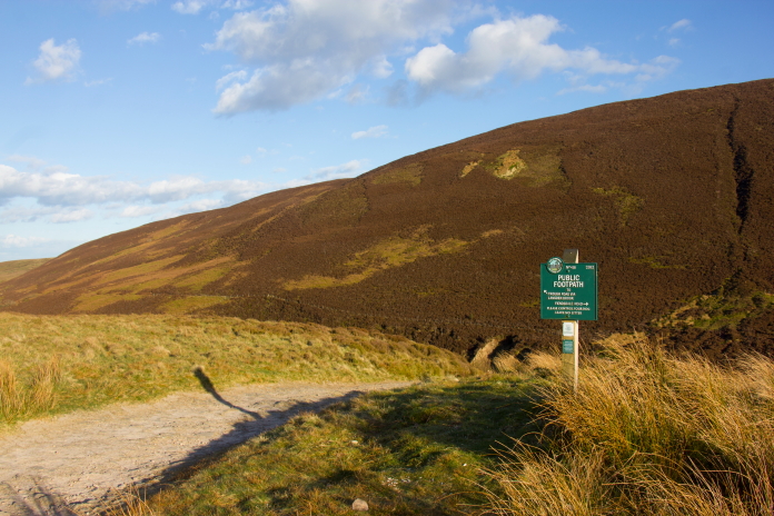
Walking across to Fiendsdale Head.
Arriving at Fiendsdale Head. I could have
taken the path on the right here to reach the crashsite of Dragon Rapide
G-ADEE but it would have involved a 3.4 mile round trip and 160m of ascent
to arrive back at this spot.
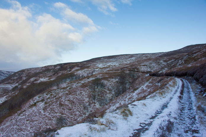
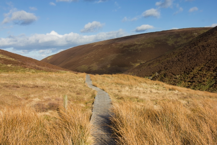
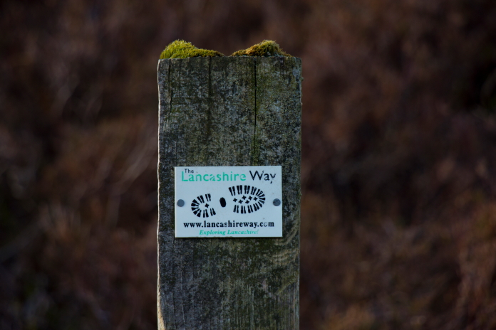
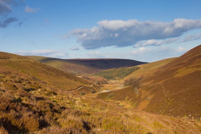
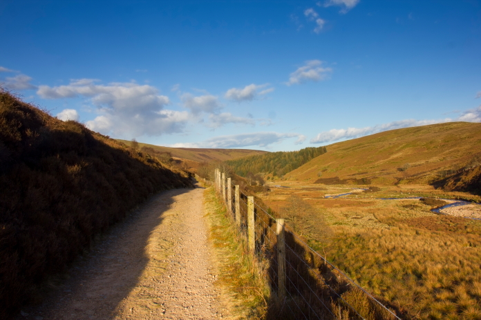
From Fiendsdale Head I was able to walk along the Lancashire way all the way down and it was now quite warm and sunny which made it quite an enjoyable 3.5 mile trudge back to where I'd parked the car.
above and next two photos:- Following the Lancashire Way down off the moors.
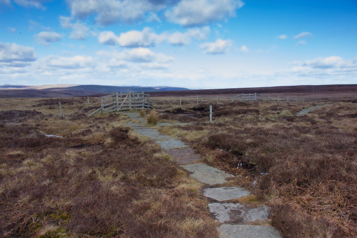
Above and Below;-Back alongside the Langden Brook on the lookout for the ruins of Langden Castle.
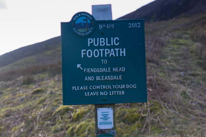
above and next 3 photos:- signposts and another memorial stone passed along the way.
Above and below:-Views down the Langden Valley, I could now add Langden Castle to my ftf list.
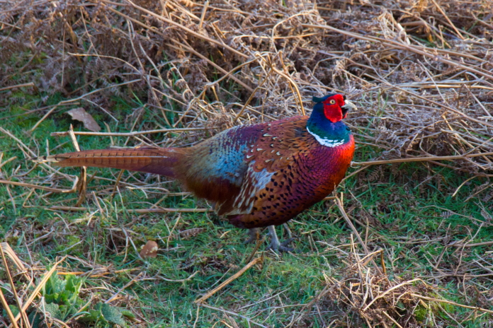
A pheasant.
Almost at the end of my first ever walk in
the Forest of Bowland.