No such thing as bad weather!
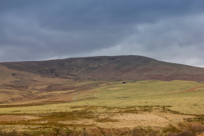
Junkers Ju88 E3+BH on Linhope Rig
and Hawker
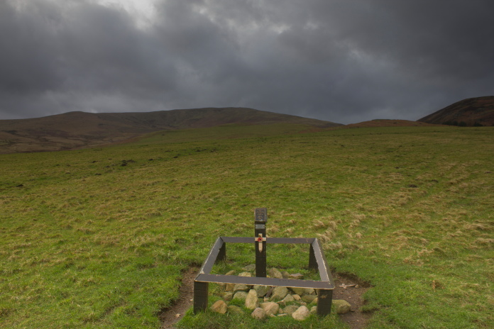
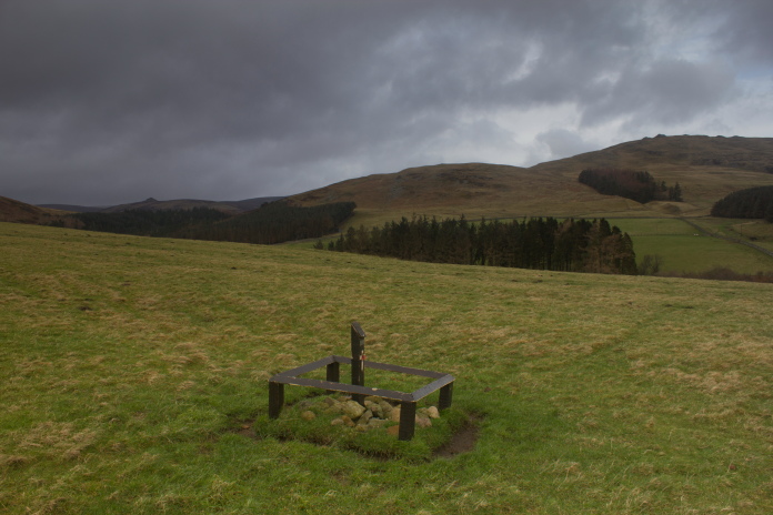
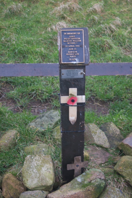
Hurricane N2522 on Meggrim's Knowe.
(Distance covered = 8.1mile)
The Girls had a lift over to the Monthly competition at Dumfries, the bad news was this deprived me of a Hiking expedition over that way, but the good news was it gave me the opportunity to head off into the Cheviot Hills.
As it was my first outing of 2016 and I had some new boots to rax in I chose an easy to reach crashsite to visit, a Ju88 that crashed on Linhope Rig in the Cheviots. There wasn't too much distance or altitude involved in reaching it so a bit of foul weather wouldn't matter too much either.
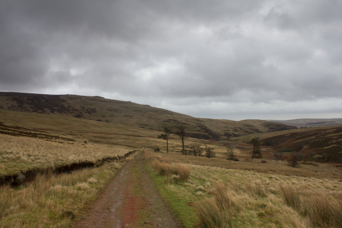
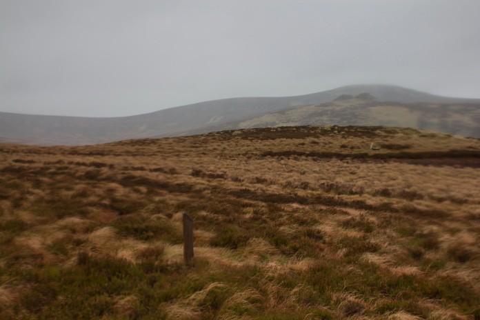
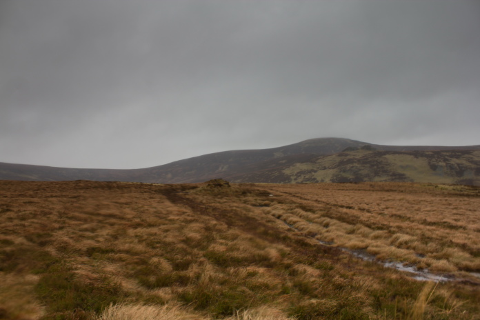
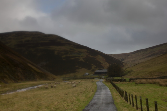
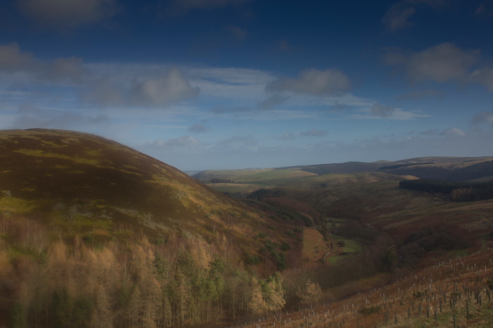
The private road to Linhope, Shill Moor is in the distance on the left and Ritto Hill on the right just above
Linhope.The photo has suffered some issues due to the high wind!
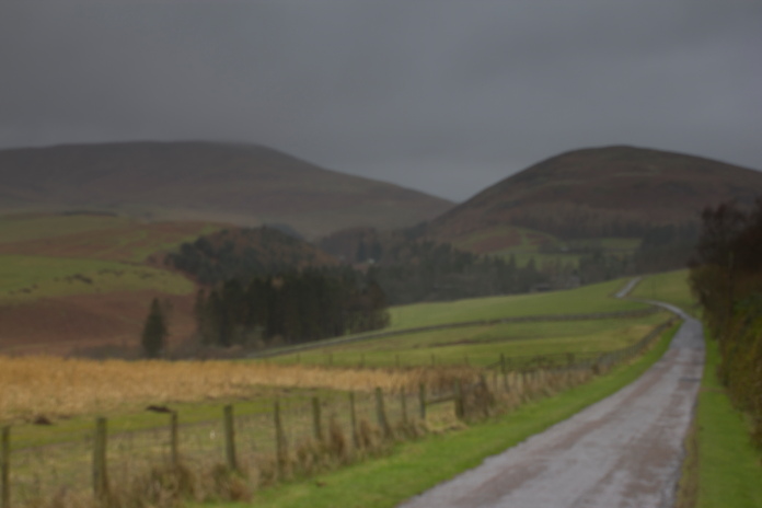
When I set off from Blyth the skies were clear and the sun was shining but as I drove up the A697 towards the Ingram Valley it deteriated gradually, by the time I parked the Pug at Hartside Farm it was raining and there was a fierce wind blowing.
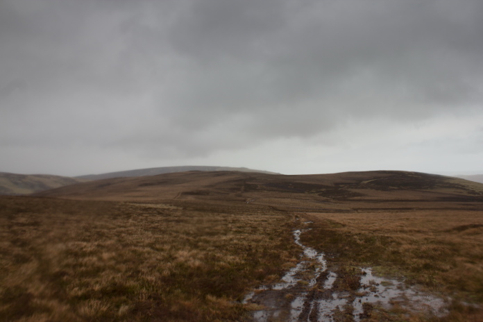
Passing above Linhope Spout with Hedgehope Hill off in the distance.
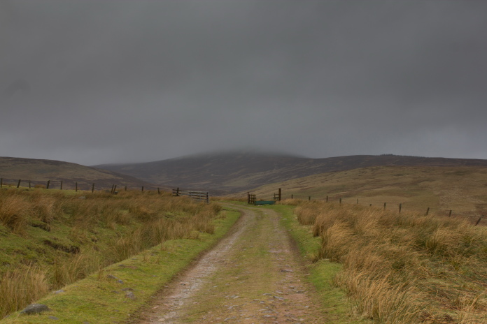
Once past Linhope Spout the track up the northern side of Linhope Rig was sheltered from the wind and was quite pleasant. The top of Hedghope Hill was covered in clag and Cheviot was completely obscured but Linhope Rig seemed pretty clear so I was confident I could find the crashsite despite failing to do so on a previous visit.*
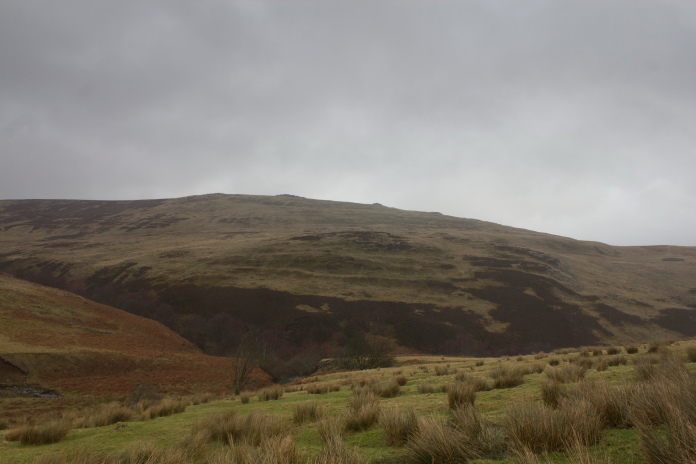
Looking over Linhope Spout towards Dunmoor
Hill
Almost a year earlier on an expedition up this area the weather was a lot better, with clear blues skies and sunshine and a smattering of snow lying around. I had successfully found the memorial for the crashsite of a Beaufighter on Hedgehope Hill, locating it quite easily despite it being in the middle of a wood, I then failed to find the crashsite of the Ju88 due to getting a bit complacent with the navigating. I had also failed to find both crashsites on several other occasions back in the 1980/90's as well as a Wellington on nearby Dunmoor Hill. Despite searching in the right areas I was never going to find them back there as there was nothing remaining on the surface and I didn't have a metal detector.
Dunmoor Hill in the distance on the left, where Wellington R1535
crashed.
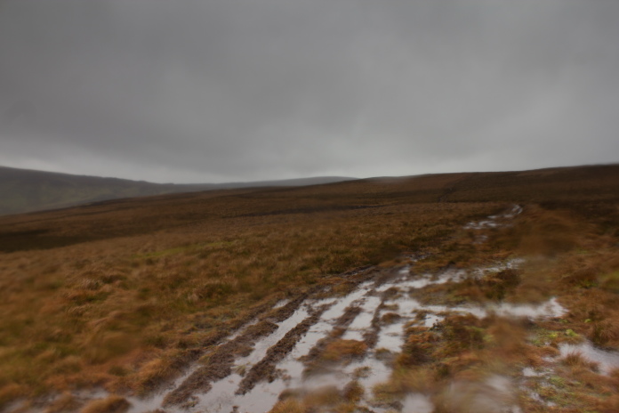
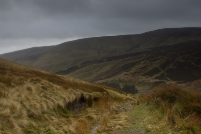
Walking up the valley to the north of Linhope Rig I decided; as the wind was bearable, and as it wasn't raining or snowing; that I would extend my walk once I'd found the Ju88 crashsite by continuing west along the top of Linhope Rig to High Cantle where I could drop down into the valley to the south of Linhope Rig to return to Hartside Farm via Meggrim's Knowe and the crashsite of Hurricane N2522.
Linhope Rig is on the left, once over the rise past the trees I was back into the ferocious wind!
By the time I reached the Hunting Lodge at the end of the track I was back into the wind and it had started to rain. I figured I would shelter behind the Lodge to have a bite to eat and put my waterproofs on, then decide on my course of action as the weather was deteriating further and my heels were beginning to suffer a bit from the new boots.
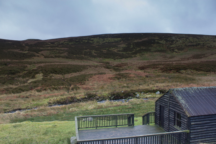
The Hunting Lodge below Linhope Rig, the crashsite of the Ju88 is just the other side of the small hillock near the left of the skyline.
The Hunting Lodge was divided into two rooms with a door at each end of the building for access, neither of which were locked, so I was able to sit inside in relative comfort, have a sandwich ,sort out my feet, put my waterproofs on and gaze out the window at where I needed to be.
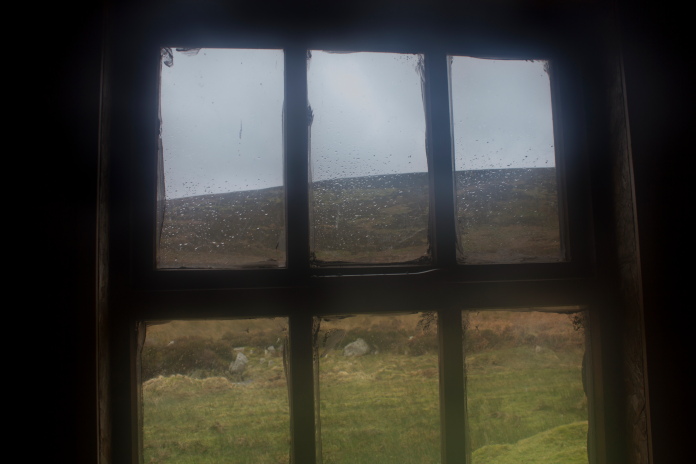
View of Linhope Rig from the Hunting Lodge.
Now I was kitted out with an extra pair of socks and some waterproofs the weather wasn't that big an issue any more so I headed off up the side of Linhope Rig towards the area of the crashsite.
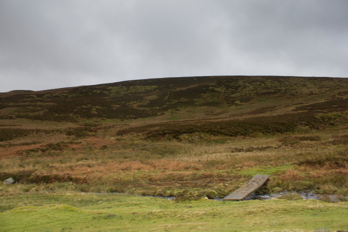
Exiting the lodge, the first obstacle;The Linhope Burn, was overcome by a
very
conveniently placed footbridge.Note
the small hillock to the left on the skyline.
In Chris R Davies' book called 'Almost Forgotten', he describes how a
shepherd who could recall seeing bits of the Ju88 in a sike near to a stone age grave,
had directed him to this crash site "Head for Linhope Spout and carry on
along the track to the Hunting Lodge. From here head straight up the
re-entrant in the hill opposite the Lodge; at the top you should find the
grave".(Re-entrant='an indentation or depression in terrain'.)
Remembering reading those directions in the book I headed up said re-entrant, at the top I could see a small hillock so
confusing 'Stone Age grave' with 'Stone Age burial Mound'
I headed for that. My mistake proved quite fortuitous as just on the other side of the small hillock was a marker post.
The marker post was hard to spot as it is not very big.
After surveying the area in 2018 ACIA confirmed that the JU88 didn't actually crash here but
further up the slope on the left of the photo.
JU88 panel anel possibly from a u/c or bomb
bay door. In 2018 ACIA found further peices to the north west including a
battery and pieces from the wooden propellors.
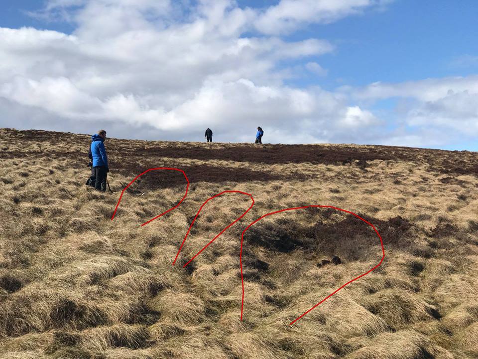
Members of ACIA surveying the crashsite of the JU88 on Linhope Rig
in 2018. The impact gouges made by the engines and fuselage are outlined in
red.(photo coutesy of Jim Corbett(ACIA))
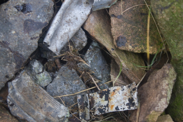
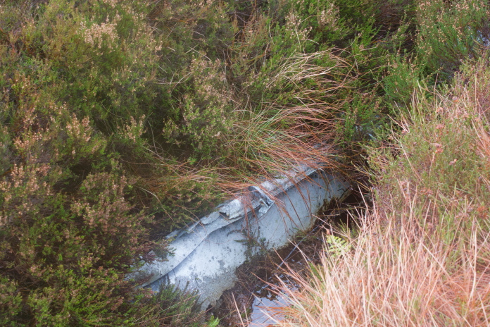
There is one piece of the Ju88 visible on the surface, it is a piece of a door from possibly the bomb bay or u/c , this piece was mentioned in 'Almost Forgotten' as a Shepherd remembered a school boy inscribing his name on it back in 1944, all I could make out because of the corrosion was a '2' and the '944' from 1944 underneath. There are further pieces buried to the north west of this panel where there are also impact gouges caused by the crash.
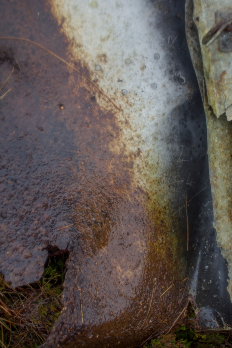
Inscription on the panel.
Two things at this crashsite showed obvious signs of suffering a battering from the weather, the marker post and my photographs, as the wind on top of Linhope Rig was very strong and it was driving the rain horizontally into me while I was battling to stay upright long enough to take some photographs.
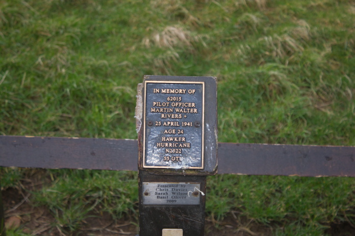
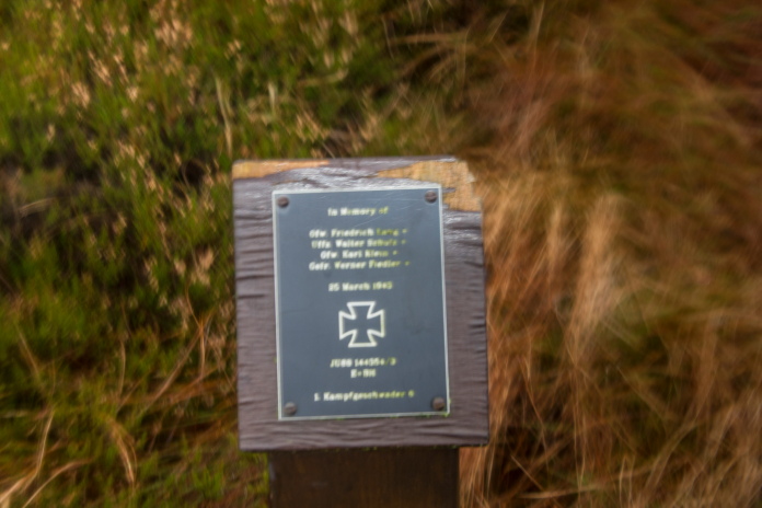 The names of the Ju88 crew on the marker post, weather beaten
and a bit blurry thanks to the wind and rain.
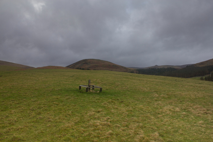
The area where the marker post and panel can
be found, with the small Hillock which I mistook as a burial mound behind, beyond that is the crags on Great Standrop
and beyond those is Hedgehope Hill.
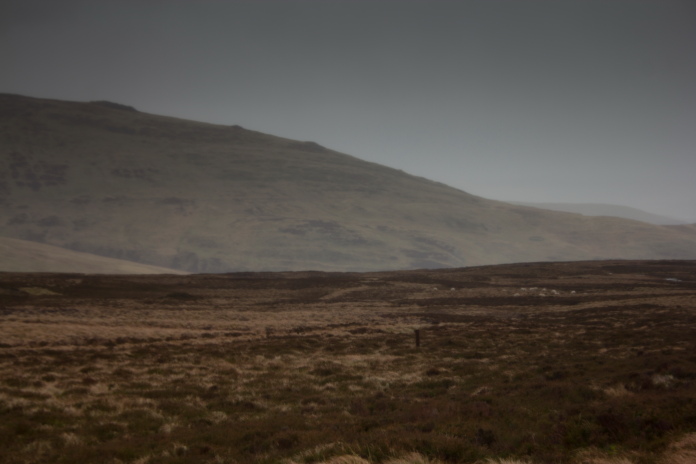
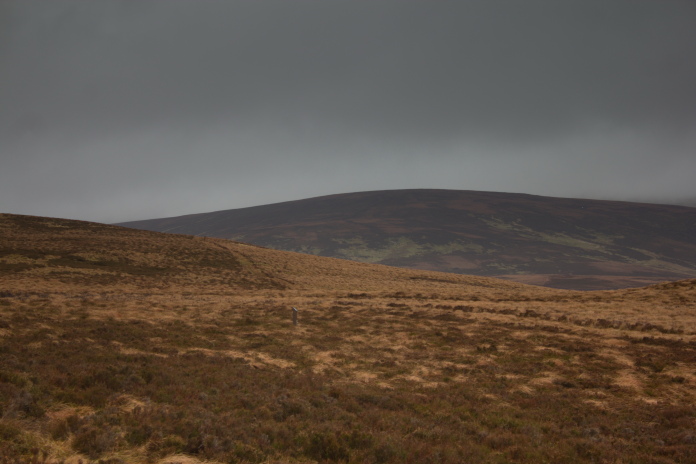
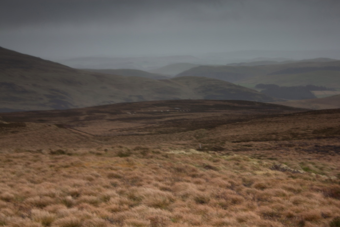
Looking east over the crashsite to the location of another crashsite on Dunmoor Hill.
Because of the gale force winds and driving rain the sensible thing to do now would have been to head east directly back to Linhope and subsequently the Car but I had new boots and new waterproofs so I was warm and dry and I needed the exercise after the Christmas break, so I headed west.
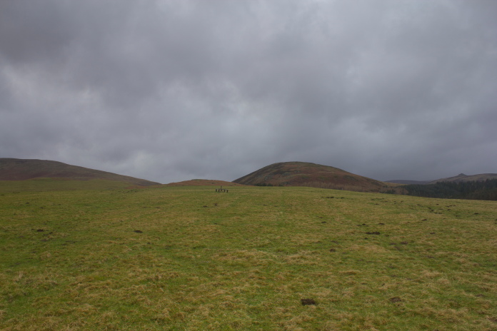
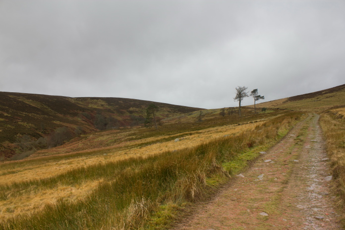
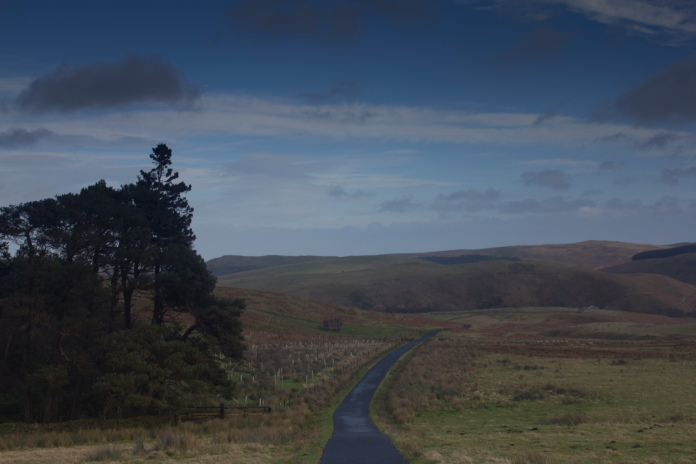
The path west to High Cantle.
After battling into the wind for a couple of hundred yards I came across Shooting Butt no7 which was a perfect shelter to have a sit down and enjoy some refreshments while contemplating if my decision to head west was prudent.
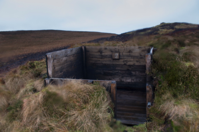
My address for the next 10 minutes would be
'Shooting Butt no7, Linhope Rig, Linhope, Ingram Valley, Northumberland,ne7
6brrr'
View from the front room of Shooting Butt No7.
Thinking that it may be sheltered down in the Valley of the River Breamish to the south of Linhope Rig and that it was probably just as far along the tops if I went east or west I continued on my planned route to the west, although going west was a little more difficult as it was into the wind .
 Walking into the Gale force winds and driving rain was
really not that unpleasant as my waterproofs were coping admirably as were
my new boots.
Walking into the Gale force winds and driving rain was
really not that unpleasant as my waterproofs were coping admirably as were
my new boots.
I possess a book called 'Mountaincraft and leadership' it contains quite a few handy tips and tricks such as how to work out which way is south without a compass and how to gauge the weather by the direction of clouds and wind. One snippet of wisdom it also includes was particularly relevant on this day, "There's no such thing as bad weather, just inadequate clothing". So thanks to my new boots and waterproofs I was really enjoying my hike across the top of Linhope Rig to High Cantle despite the best efforts of the weather.
Approaching High Cantle.
Once over the top of High Cantle the path drops rapidly down into the valley below and, as I had hoped, some shelter from the wind. Halfway down the decent the path crossed a farm track which wasn't crossing the contour lines as quickly, so I followed that but regretted not sticking to the path as the track lead right into High Bleakhope Farm at the bottom of the hill, which necessitated a small but tricky diversion.
Dropping off the western side of High Cantle.
Once around the farm and over the River Breamish it was an easy and pleasant walk along a metalled road for about 4 mile back to the car, plus a small diversion at Meggrim's Knowe to visit the Hurricane site.
Approaching Low Bleakhope Farm

Shill Moor on the right, High Cantle on the left and Linhope Rig dead ahead.
Much of the walk back along the road from High Bleakhope Farm was around the northern base of Shill Moor, back in the 1990's I wasted a whole day aimlessly wandering around on Shill Moor searching for the remains of Halifax NR126 which actually crashed on Wether Cairn a couple of miles to the south. The grid ref in HGWR was correct but the Hill had been incorrectly listed as Shill moor, the grid ref where the Halifax actually crashed and the grid ref where I searched on Shill moor are identical apart from the fifth digit which is a '1' on the actual location and a '5' where I searched. I had deduced incorrectly that the name of the Hill was correct so the fifth digit of the grid ref must be wrong, whereas I now know it was the name of the Hill that was incorrect!.
Along the side of Shill Moor towards Ritto Hill.
Walking along the 4 mile stretch of Road back to the car was pleasant enough weather wise but my feet were becoming a bit sore again. In hindsight doing a 9 mile trek in brand new boots was not the most sensible idea I've had but I figured I might as well get it over with and get them broken in which I did achieve at the cost of a couple of blisters on my heels.
Passing to the south of Linhope, nearly at Meggrim's Knowe.
Meggrim's Knowe, beyond the trees on the left.
I'd been to visit the Marker Post for the Hurricane crash before but the Farmer had been out shooting so I didn't manage to get up close as it's in an enclosed field near to the farm. I'm not sure if the crashsite is on open access land or not but as it was a Sunday I figured the Farmer would be more bothered if I disturbed him by knocking on the door to ask permission to enter the field than if I quickly nipped over to take some photos without being noticed.
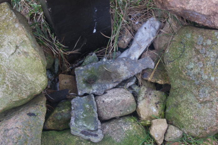
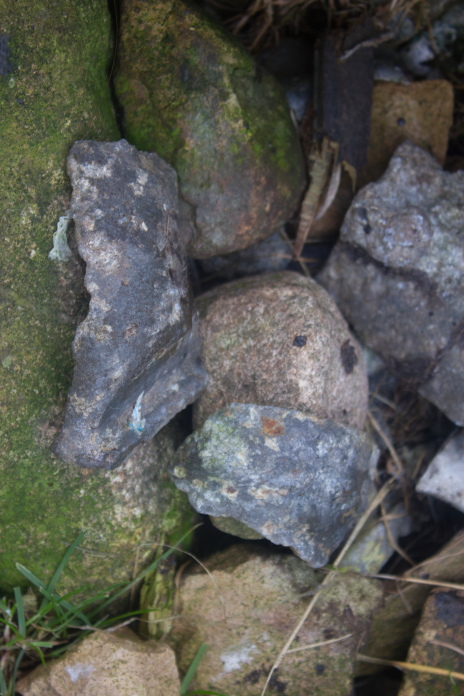
Above and next 8 photos:-Marker Post and fragments of N2522 that have been placed at its base. I think the local sheep have been having a chew on this one!