Bawbags
Handley Page Halifax LL414 in Glen Isla,
Armstrong Whitworth Whitley
Z6933 on Finalty Hill and Hawker Hurricane V6938 on the Bawhelps.
(Distance covered =
12.5mile/Ascent =+805m)
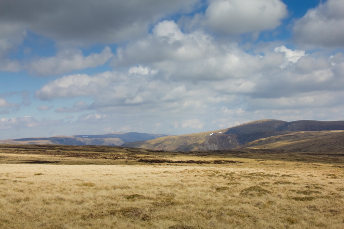
During April of 2021 I'd spent an enjoyable but rather cold weekend down in The Forest of Bowland where I'd managed to visit 7 crashsites; it was now the May half term and with the forecast of slightly warmer weather my plan was to spend three days in Scotland to go and look for another 7 crashsites.
Although I was hoping to visit 7 crashsites I only had accurate grid references for 4 of them. My two researchers, Stuart and Chris had given me grid references for two others that they had estimated from studying photographs found online. The third one was a Hawker Hurricane that crashed on some cliffs, and although I was in possession of a 6 digit grid reference it was highly likely it was only a partial reference that someone had filled in the gaps with zeros somewhere down the line, i.e. 23-72- had become 230720?.
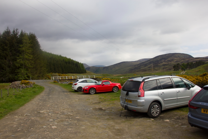
The Shitroen parked up at a sort of parking area just past
Auchavon in Glen Isla.
Even if the 6 digit grid reference I had for the Hurricane was correct it still meant a 10,000sq metre area to search and as it was on cliffs I wasn't too confident I would find anything at that one, but before worrying about that I had to walk up to the far end of Glen Isla to look for any remains of HP Halifax LL414.
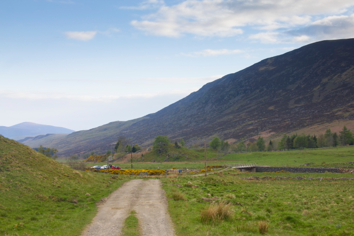
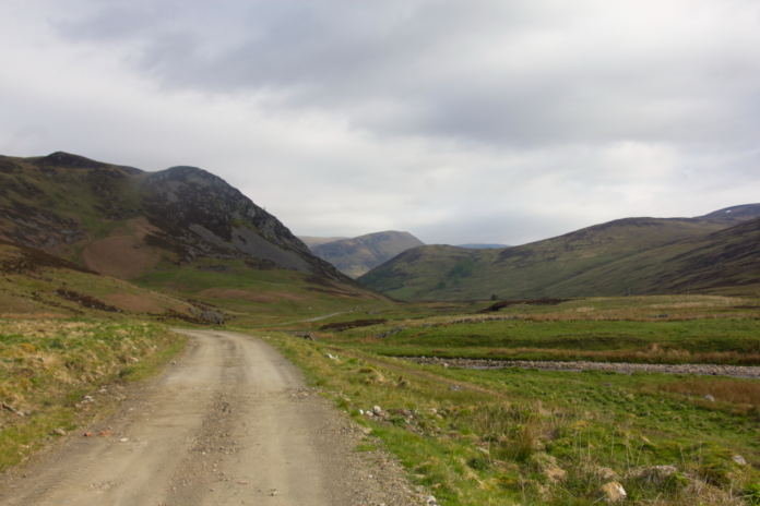
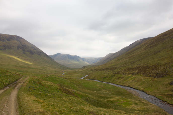
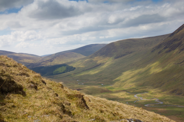
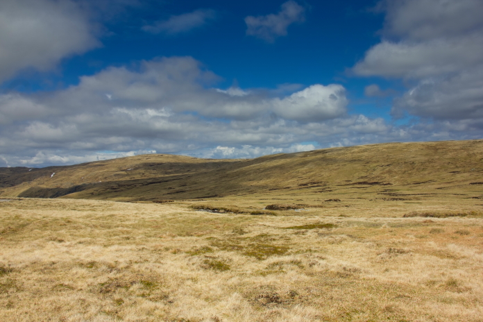
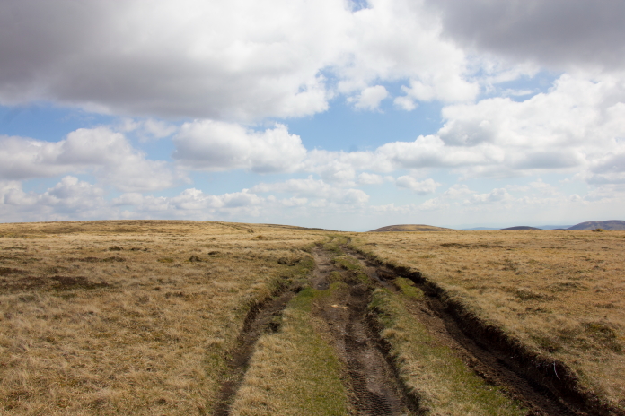
Above and next two photos:-Off up Glen Isla.
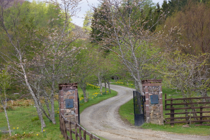
above and below:-Passing the entrance to Tulcan Lodge.
Halifax LL414 was one of the two sites Stuart and Chris had estimated the location of; although I also had a grid reference for this one it was, like the Hurricane, suspiciously like a 1km grid ref that some one had added zeros to. Because of that I didn't even bother looking at that location but instead went straight to the area where Stuart and Chris had worked out the wreckage lay.
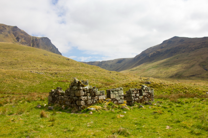
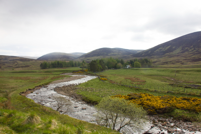
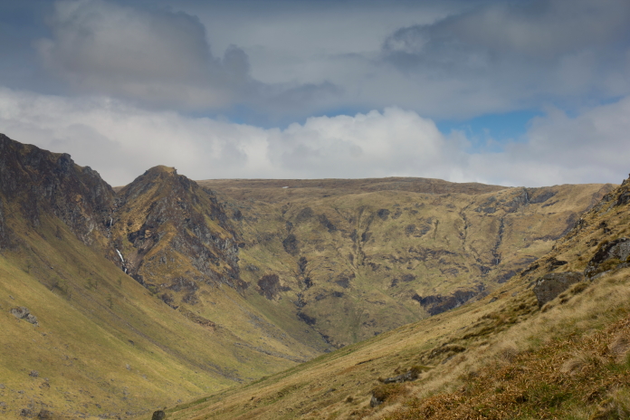
The Halifax remains lie on the slopes to the right of the burn.
I made the right decision in putting my faith in Stuart and Chris' estimated grid reference as it turned out to be only 100 metres from where the Halifax wreckage lay. There was a lot of interesting stuff at this one which suggested it's not visited by that many people, perhaps because the published grid reference for it's location is not too accurate.
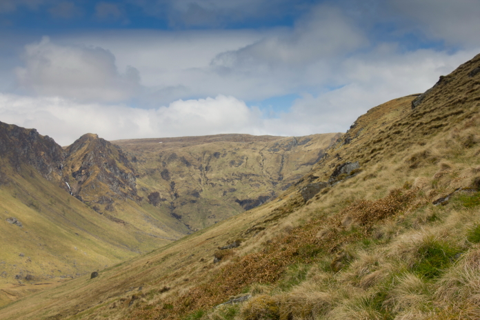
above and below:-I needed to be up the quite steep slopes on the right to reach my second objective of the day; the remains of AW Whitley Z6933.
After finding and photographing the Halifax site I continued up Glen Isla with the intention of making a rising traverse around and up into the Fean Corrie, which looked on the map anyways, to be the least steep route to reach the top of the ridge between Finalty Hill and Little Kilrannoch where the Whitley wreckage lay.
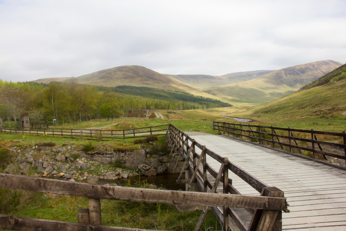
The Canness Burn, I failed to get across this with dry feet.
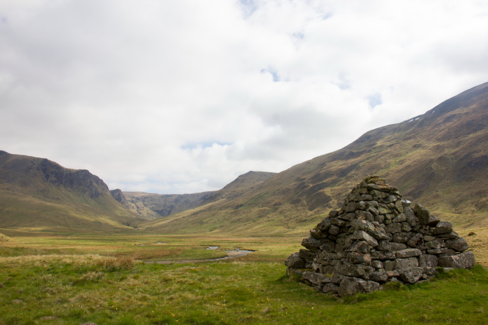
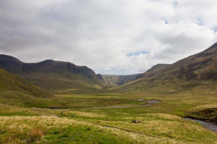
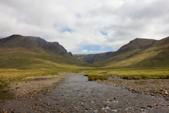
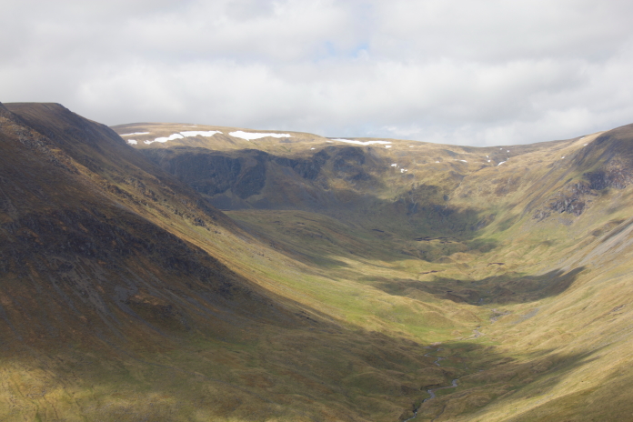
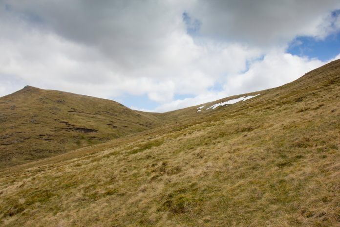
above and next 8 photos:-Stopping to take photographs provided a good excuse to stop and have a breather on the steep climb out of Glen Isla.
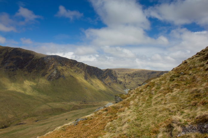
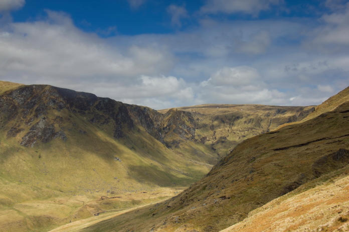
The climb up out of Glen Isla into Fean Corrie proved to be a bit savage and as is often the case I'd manage to time it perfectly so as to tackle it during the warmest part of the day. Once I was about halfway up however the contour lines spread out a little so the climb was a little less arduous and the going alongside the Fean Corrie Burn was quite easy.
Almost at the Fean Corrie Burn after a brutal climb out of Glen Isla.
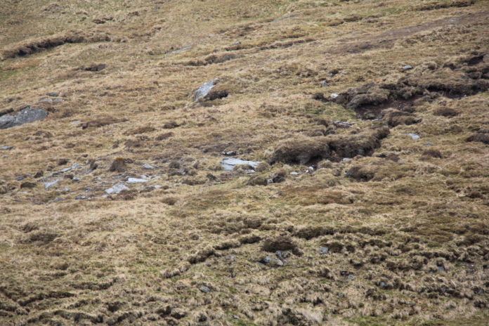
I managed to convince myself this was a
large lump of Whitley bomber; it was a flat slab of rock!
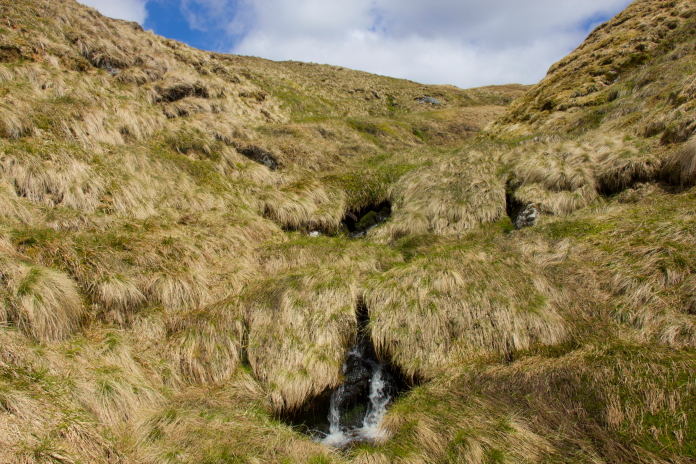
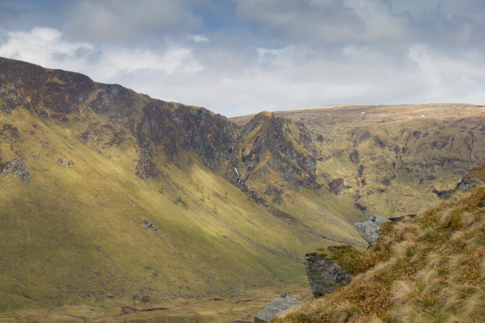
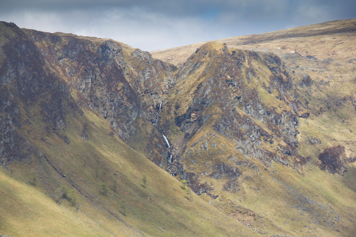
This stretch was quite pleasant but the waterfall was not the most impressive I've seen.
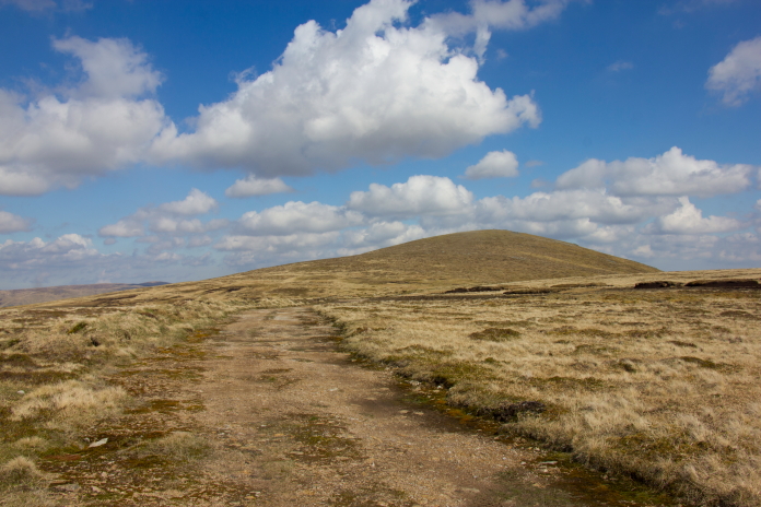
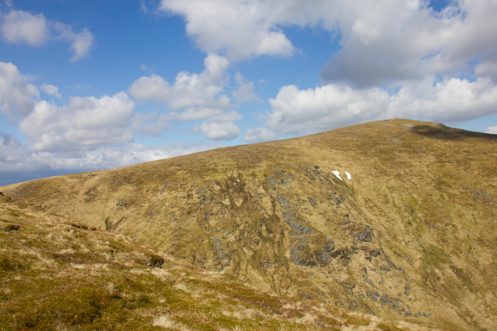
above and below:-Up onto the top at last.
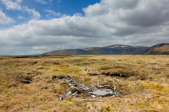
The crashsite of Whitley Z6933 on Finalty
Hill.
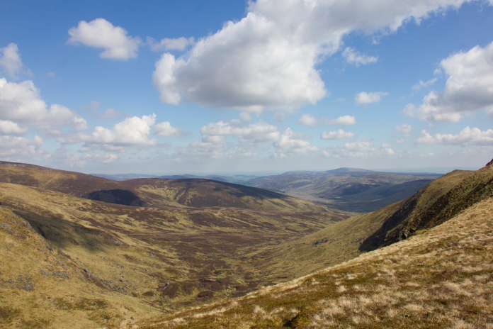
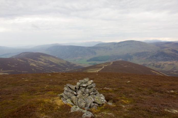
From the Whitley crashsite I headed south towards an area called Dun Hillocks, from there I planned on following a ridge down to the Bawhelps to have a look for the Hurricane. It was quite tough going underfoot over to Dun Hillocks but once passed there I spotted a landrover track that was going the right direction which wasn't marked on my map.
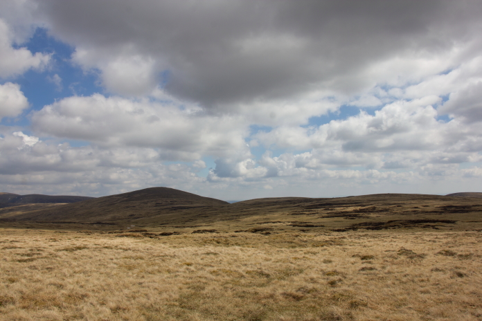
Heading over to Dun Hillocks from the Whitley.
Looking back to where the Whitley crashed.
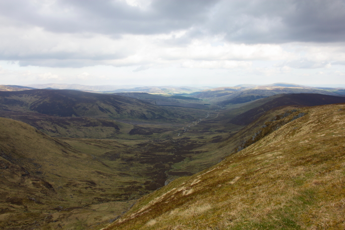
This landrover track was a bit of an unexpected bonus and I was able to follow it all the way over to the Bawhelps.
Passing just to the west of Mayar, I thought
at this point that the track was going up Mayar but it veered south just
before it got there.
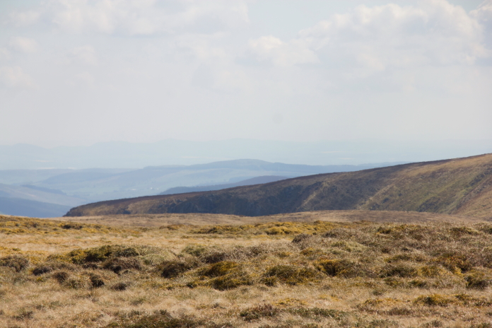
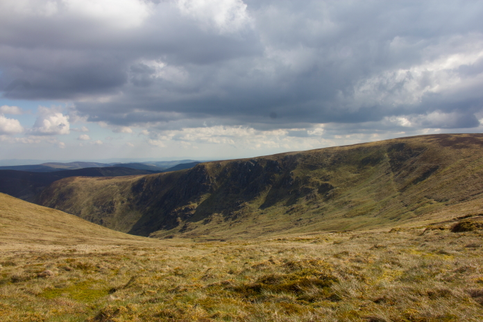
First glimpse of the cliffs on the Bawhelps.There's remains of a Hawker Hurricane on those somewhere.
View back to Mayar.
Before climbing up onto the top of Bawhelps I walked down the slopes a bit on the other side of the Doups burn which runs below it, with the intention of having a peruse with my binoculars to see if I could spot anything over on the cliffs.
The cliffs of the Bawhelps from across the
glen.
I failed to spot anything through the binoculars so had a sit down, a bit of a rest and some refreshments while I decided my next move: walk down to the base of the cliffs and search uphill from there or walk around to the top of the cliffs and try and spot something from above.
above and below:-walking around to the top of the cliffs.
As I was by myself and it was quite late into a long day of walking I decided it wasn't sensible to start climbing up cliffs looking for bits of aircraft wreckage so I settled on having a quick scout around the top of the cliffs, where I also failed to spot anything of interest.
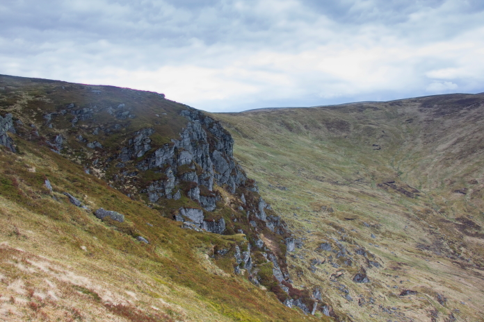
Even with an accurate 10 digit grid reference it would have been tricky finding anything on terrain like this.
Without such a reference it was impossible.
After a failed second attempt at finding this Hurricane site due to snow I eventually found it on my third visit (see here)
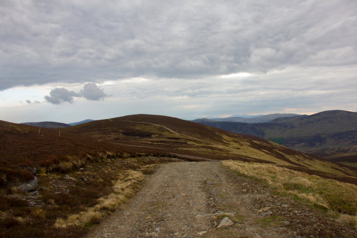
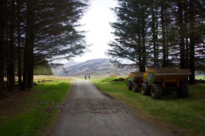
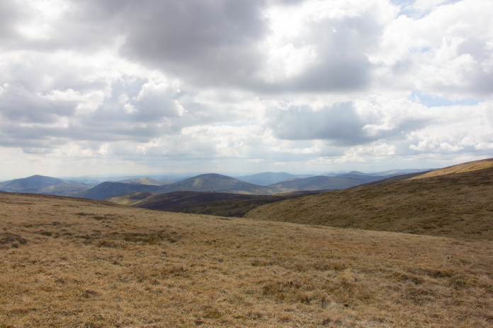
Off down the hill back to the car.
Thanks to inadvertently following another
track that wasn't marked on my map I got to visit the rather unspectacular
but I would guess infrequently visited summit of Mid Hill.
The track I should be on can be seen going over the next hill.
Above and below:-Nearing the end of a very enjoyable but tiring walk.