FTFs.
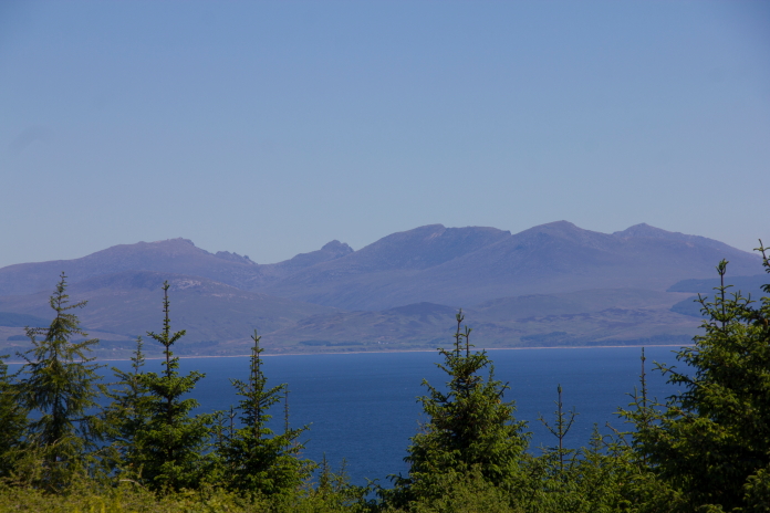
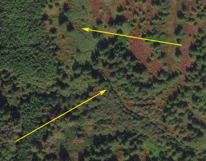
Avro Anson EF820 on A'Chruach
(Distance covered =
3.8 mile/Ascent =+228m)
In the summer half term of 2022 I managed to fit in a few days away to the Mull of Kintyre. On the drive over I picked Stuart up from Glasgow and we set off to tick a few lesser known crashsites off our to do list, some of which that we failed to get to or failed to find in 2017.
The first aircraft on our itinery was Bristol Blenheim Z6350, we had received some information from Alan Leishman of the Dumfries and Galloway Aviation Museum about the location of this crashsite and what remained on site, including a sketch that was made by a local showing where the wreckage could be found.
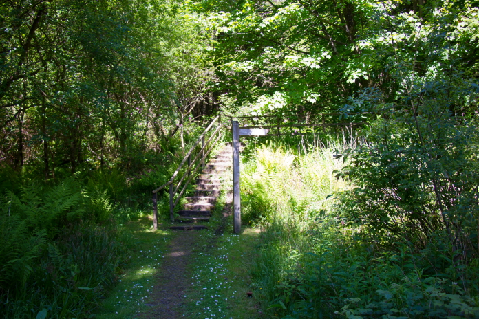
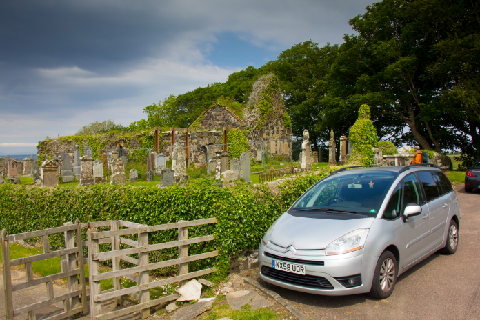 Parked
beside the little churchyard at Killean. beside the A83.
Parked
beside the little churchyard at Killean. beside the A83.
Setting off on what was to be going to be just short of an 8 mile walk.
Because we had so much information about the whereabouts of this crashsite we were fairly confident that we were going to find something without too much effort, so we had also made plans to go and look for the remains of an illegal whiskey still from the 18th century that was meant to lie below a waterfall not far from the Blenheim Crashsite.
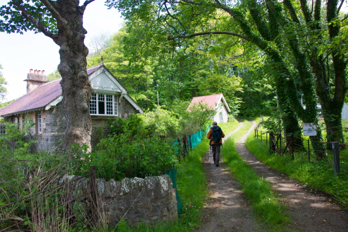
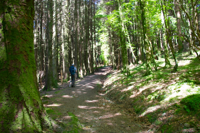
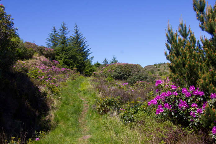
On the track towards the ruins of Braids.
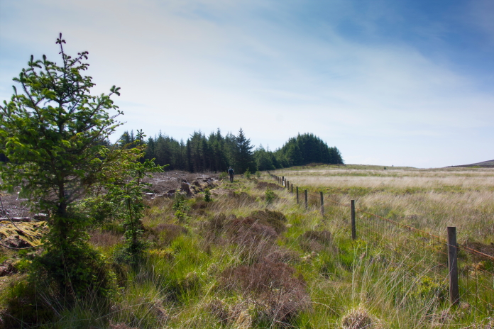
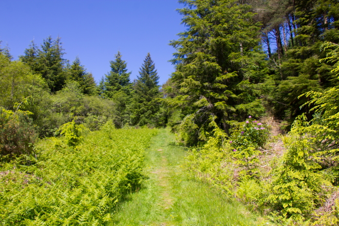
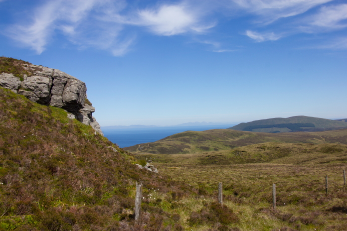
From the little Churchyard where we parked the car we were able to follow The Kintyre Way long distance footpath for most of the way, until we came to a ruined farmhouse called Braids; here we had to go cross country towards an area known as Creachan Rocks, which we could see in the distance. We were going to strike out as the crow flies over a pathless and boggy looking moorland but instead we skirted around the eastern edge of it as we spotted a forestry track which was going in the right direction.
According to the sketch and directions made by the local we should find remains of the Blenheim to the left of the rocks on the skyline.
Passing the ruins of Braids.
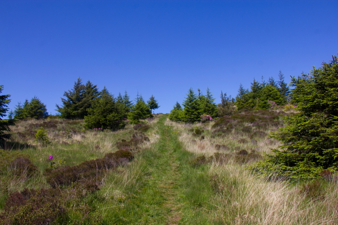
View north from the forestry track south of Braids.
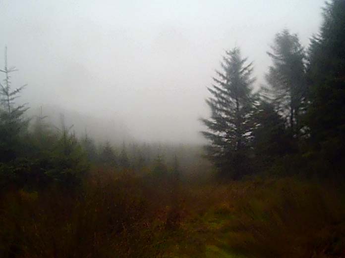
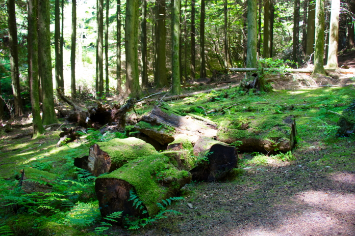
After the forestry track terminated we were able
to follow some harvester tracks.
When the Harvester track ran out we followed the fenceline between woods and moor.
above and below:-Approaching Creachan Rocks.
When we arrived at Creachan Rocks we were able to use a large rock known as 'Mare's Rock' to get our bearings. Mare's Rock was used by the Illegal 18th Century Whiskey Distillers as a lookout post because of it's prominant position overlooking the Glens. Despite being 100% certain we were in the right place however we were unable to find any remains of the Blenheim and because we spent so long searching we were left with neither the time nor the incliination to go and look for the remains of the Whiskey Still, instead we went to Cambletown to look for a Chippy.
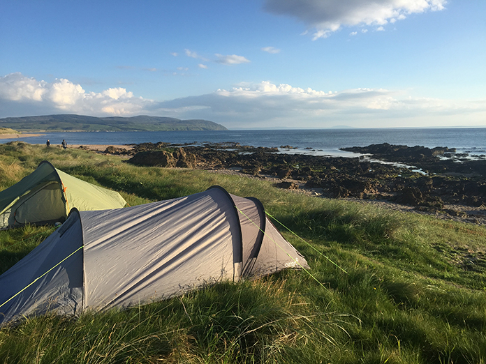
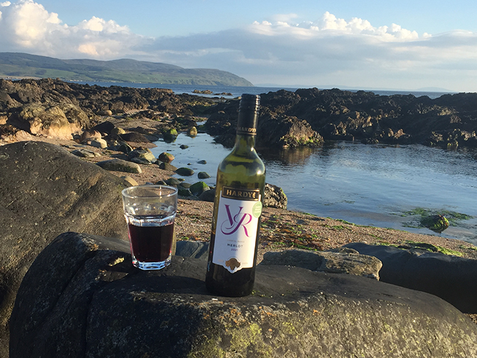
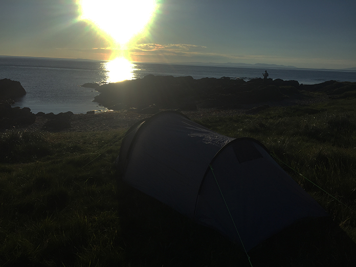
above and below:- Camping at Westport Beach, the best nights sleep I've ever enjoyed in a tent. Perhaps the bottle of VR helped!
After the best sleep I'd enjoyed in a long time in any sort of bed never mind a tent and a breakfast of beans, it was time to set off and have another look for a crashsite I failed to find on a rather wet day in 2017. Back then I'd searched around on the top of Earsach Hill in torrential rain and gale force winds for the final resting place of Vickers Wellington HX420; the weather on this trip couldn't have been any more different if it tried.
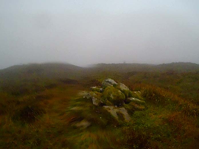 At
the cairn on top of Earsach Hill in 2017
At
the cairn on top of Earsach Hill in 2017
above and below:-Very different weather for my 1st and 2nd attempt to find remains of Wellington HX420.
As well as the weather being so dissimilar our route was entirely different as well, as in 2017 I had walked in from the west, starting at the southern end of Lussa Loch, this time we were walking in from the east starting at a carpark near Kildonan. This would turn out to be a much easier and more pleasant walk but perhaps that was just due to the lack of rain and gale force winds.
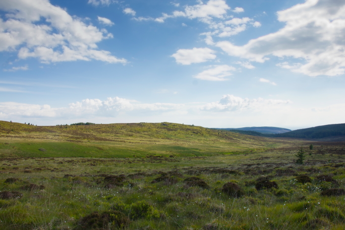
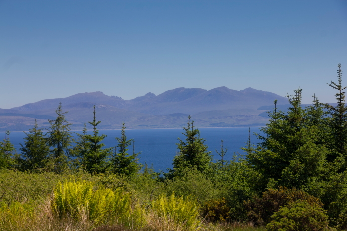
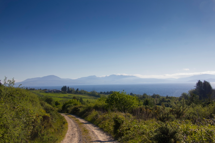
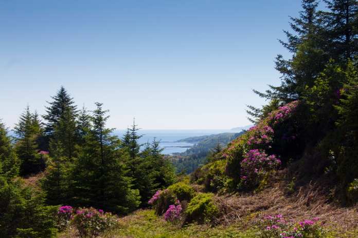
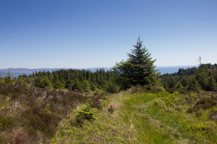
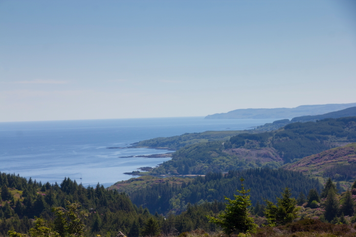
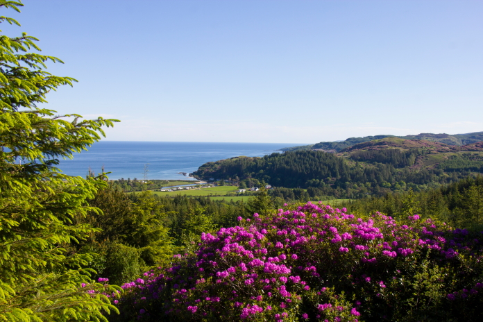
above and next 4 photos:- Lovely sunshine and some canny views.
On this occasion we wern't actualy going to be searching on Earsach Hill as Stuart had acquired a grid reference from Forestry records which was to the south on the slopes of a smaller hill called Maol a' Chuir. The Forestry Records listed it as the crashsite of an Avro Lancaster; which was a bit intriguing, but we summised if there was anything there it was going to be from the Wellington.
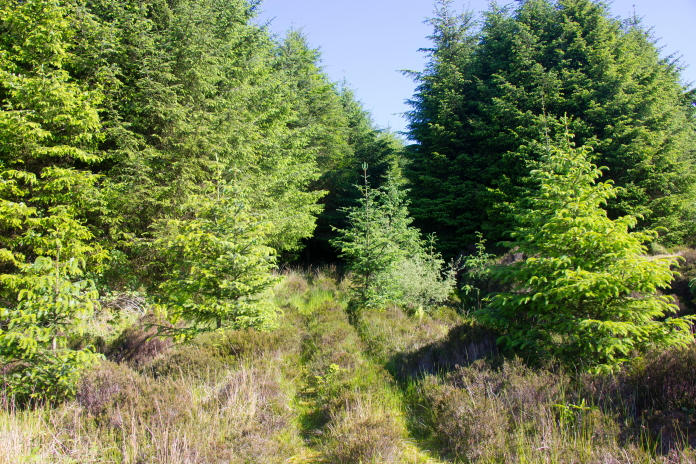
Heading up into the trees with fingers crossed for finding something.
At the grid reference: there was no sign of any pieces of Lancaster or Wellington.
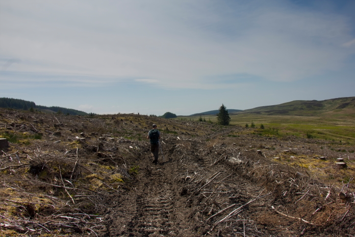
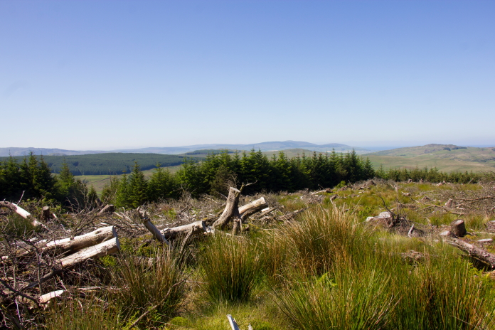
Any hopes we had of finding any remains were swiftly dashed when we reached the search area to find it was slap bang in the middle of recently felled trees. We still spent a bit of time rooting around but found absolutley nothing to suggest anything had happened there other than trees being chopped down!
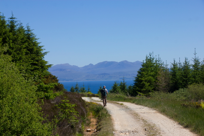
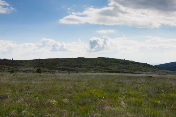
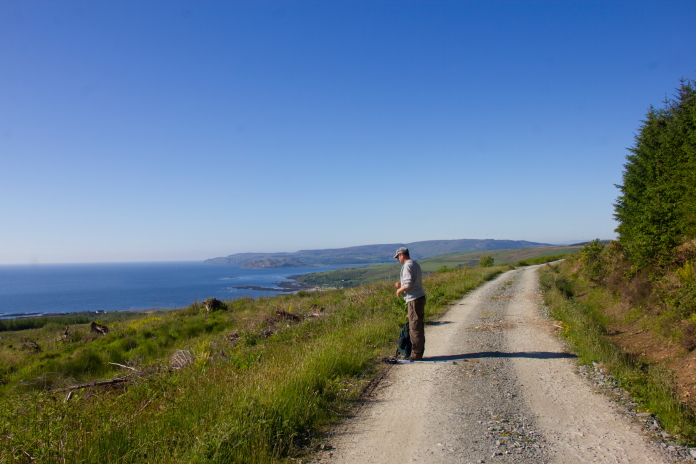
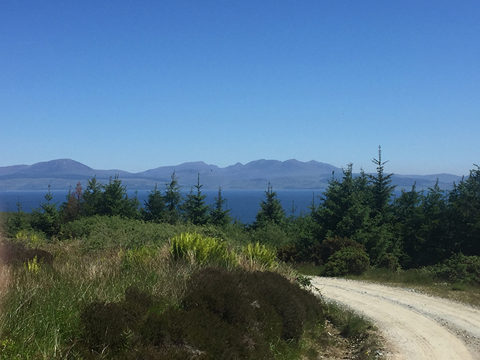
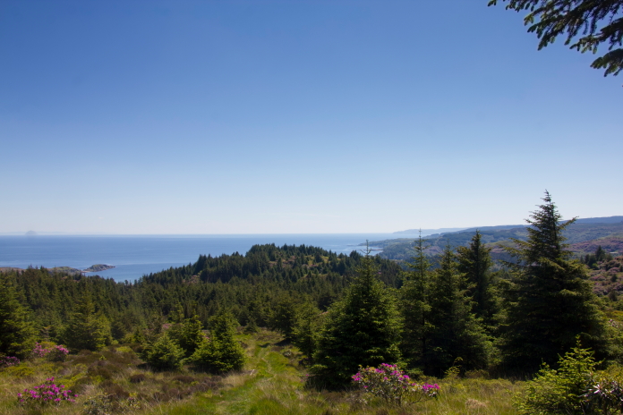
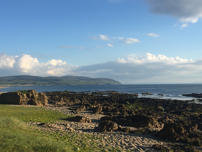
Above and next two photos:-At least we got to enjoy some fantastic views across to Arran on the trudge back to the car.
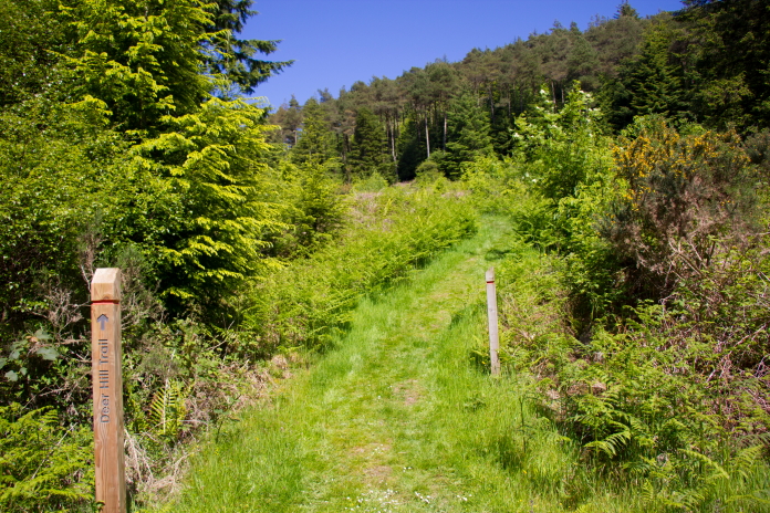
After completing our second FTF of the trip we set off a little further up the east coast of Kintyre to a place called Carradale, this was going to be the start of our third expedition, to search for Grumman Avenger FN867 that crashed on the western slopes of a hill called Cnoc nan Gabhar just north of Carradale.
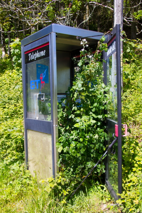
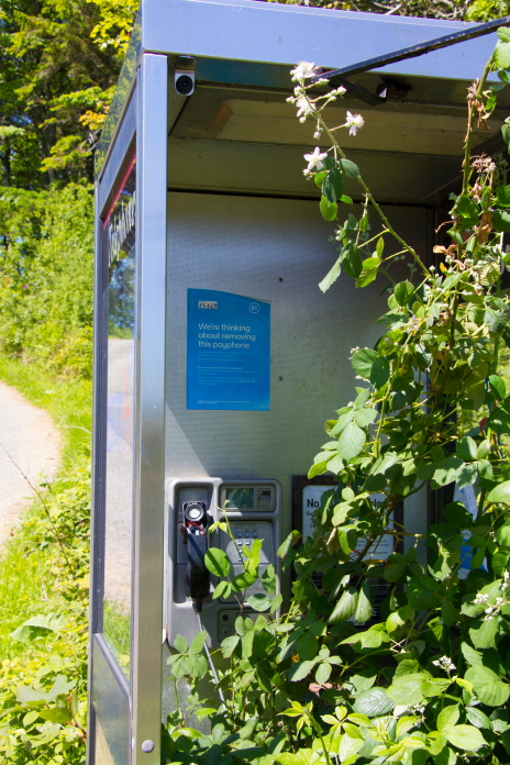
above and below:-Was going to phone the Missus, but!!
On arrival we didn't like the look of our planned start point and route so instead drove around the corner and parked in a carpark adjacent to a doctors surgery. From the surgery it was a short walk along the road to a little cafe, behind which was the start of a path which we were able to follow to the summit of Cnoc nan Gabhar.
above and next 14 photos:-Lovely path up to the summit trig of Cnoc nan Gabhar.
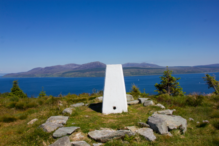
Once we reached the summit trig point we had a bit of a breather while enjoying the fantstic views across to Arran. We then headed west for about half a mile to our intended search area for the Avenger.
Looking across to the area where we hoped to find some remains of
an Avenger.
We had a good grid reference for the Avenger plus information that the Lorry tracks made by the recovery operations at the time of the crash could still be seen going up the hillside. A local farmer had also reported that an area of trees were felled to facilitate the recovery of the wreckage and that there were still pieces to be found.
Satellite image showing possible Lorry
tracks leading up to a clearing which was at the grid ref we had.
Although there appeared to be lorry tracks going up the hillside to a clearing visible on satelite images, we could find no trace of them on the ground. This was due to the area being very overgrown with extremely dense and very prickly bushes and young pine trees. We found absolutely nothing in the clearing as well.
A nice view on the way back to the car, scant compensation for yet another FTF!
above and below:-Back at Westport Beach for a second night, a couple more bottles of red wine before turning in ensured another goods nights sleep.
After another very restfull night at Westport beach and a canny fryup for breakfast the following morning it was off down to the Lighthouse carpark on the Mull of Kintyre. As well as going to have another look for the Anson crashsite we had missed in 2017 we were also going to revisit the Wellington crashsite as well, to do a bit of a survey with Stuart's new metal detector.
 Passing
above the Chinook memorial on the way to the Wellington site.
Passing
above the Chinook memorial on the way to the Wellington site.
Passing above the Neptune memorial.
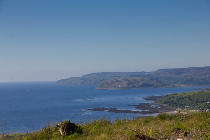
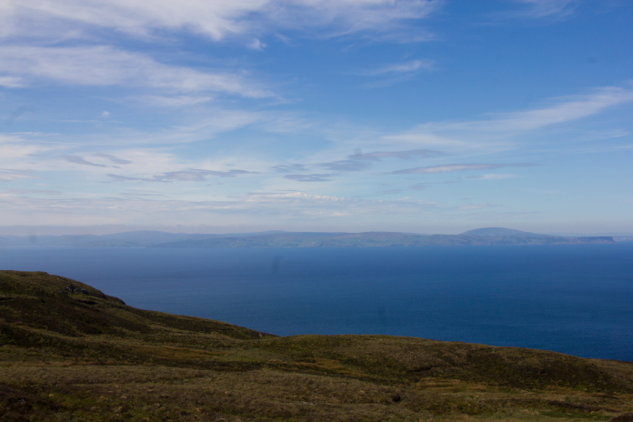 Northern Ireland in the distance.
 Approaching the crashsite of Vickers Wellington
LB137.
Approaching the crashsite of Vickers Wellington
LB137.
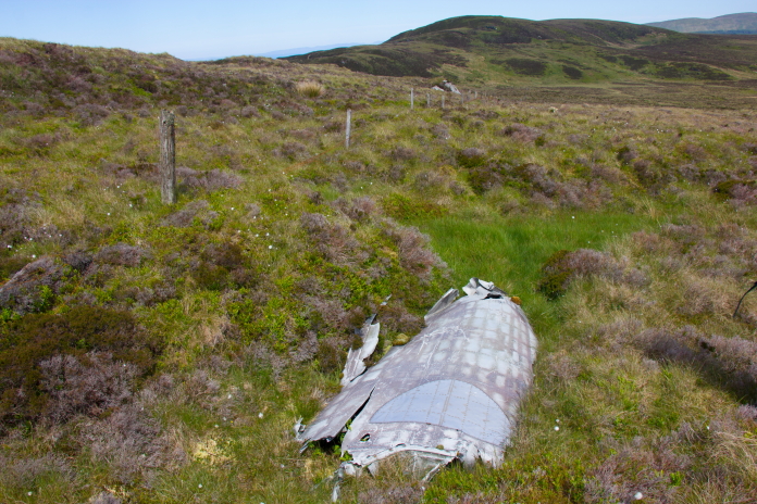
After surveying the area around the visibly Wellington wreckage that we first found in 2017, we were able to deduce where it had first hit the hill. A trail of pings on the metal detector lead us downhill to where we found a depression which was full of metal detector hits. There were no hits any further down the hill. Unfortunately we had neither the equipment, permissions or inclination to do any digging to confirm this for sure but were, nether the less, quite happy with the results of our little DIY survey.
above and next 3 photos.:-The scar where we believe the Wellington first impacted the hillside. Visible surface wreckage can be found just off the right of the photo above.
Above and below:-Looking over the visible wreckage towards the depression further down the hill, if our theory was correct the Wellington would have flown in this direction towards the camera.
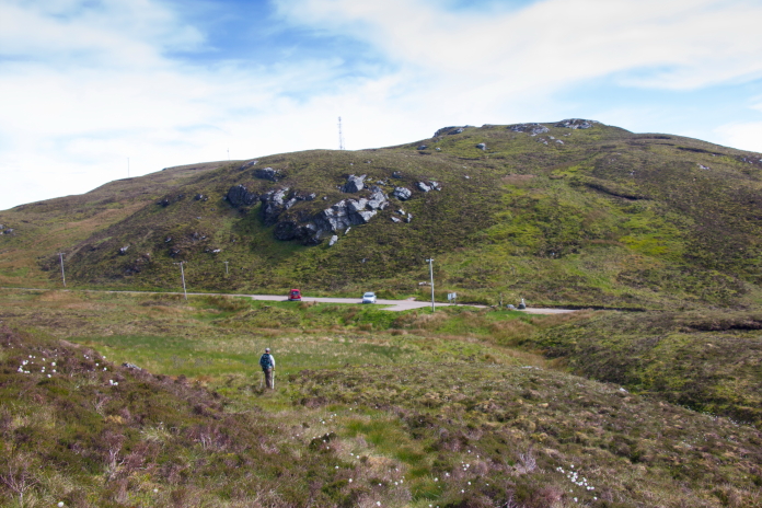
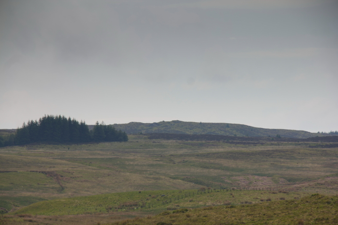
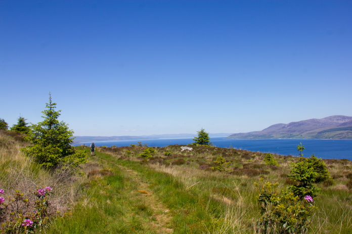
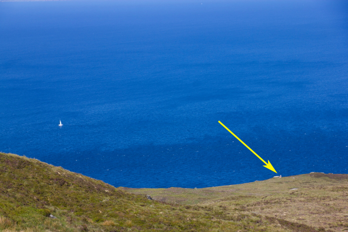
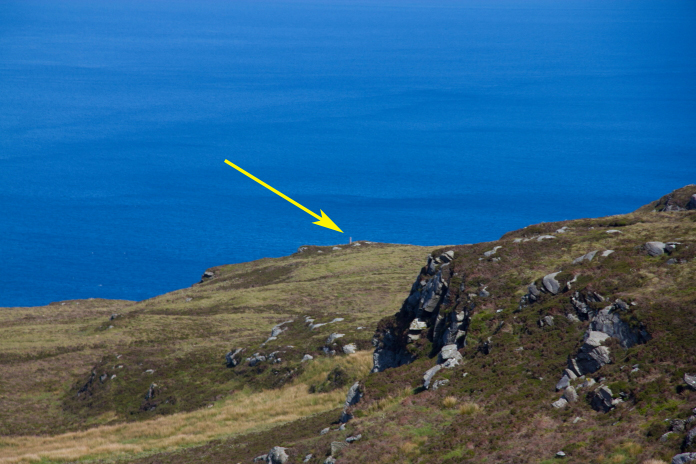
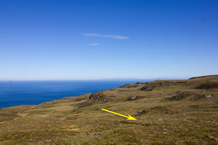
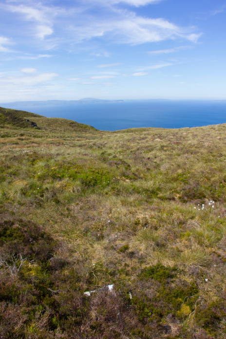
When we first visted the Mull of Kintyre in 2017 we had found 8 out of the 9 crashsites we had set out to look for; the one we failed to find was an Avro Anson that crashed on a hill called A'Chruach and that was the one we were hoping to find on this day.
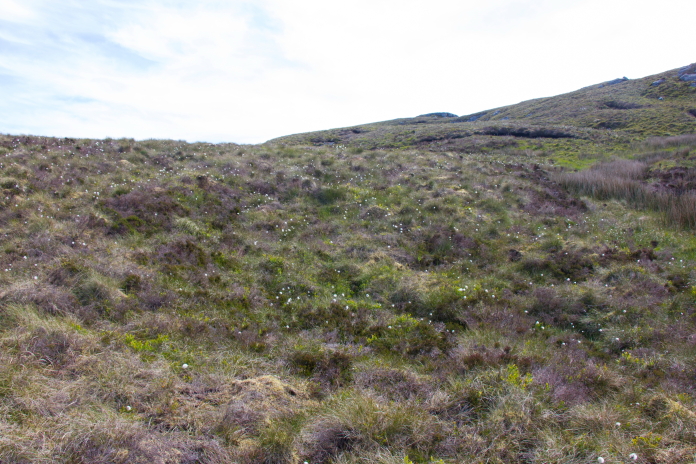
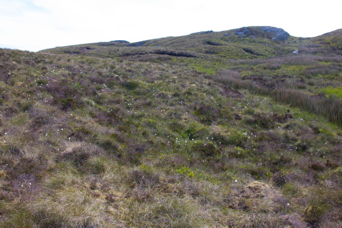
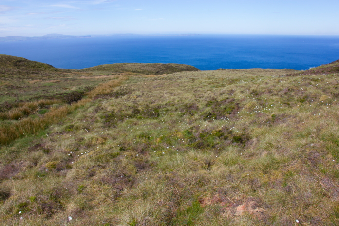
Making our way over to A'Chruach.
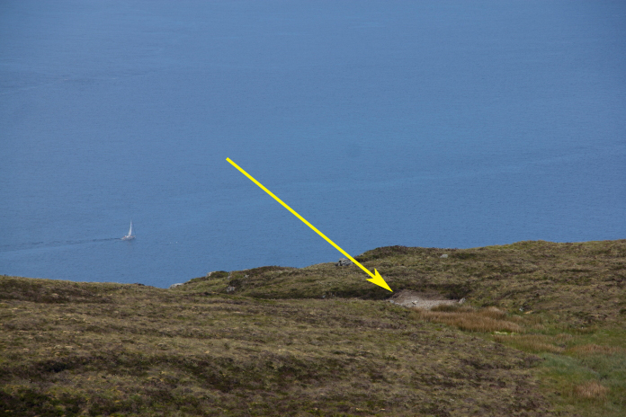
Large piece of Neptune fuselage quite a distance from the rest of the Neptune remains.
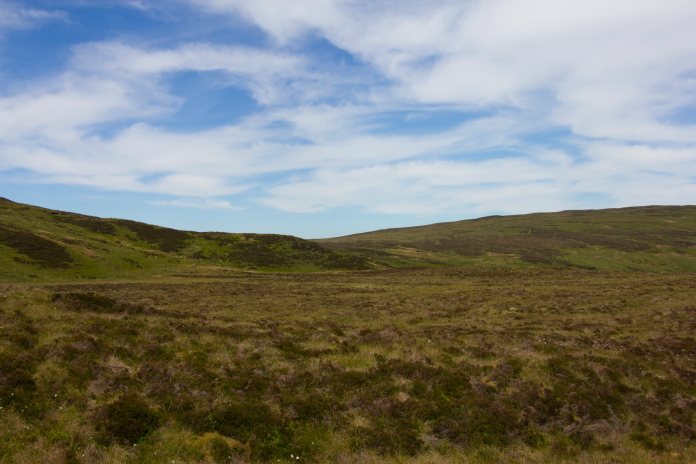
Approaching A'Chruach.
After we failed to find this site in 2017 I was given a 10 digit grid reference and a photo, so this time as well as now knowing there was something there to find we also knew exactly where to find it. Back in 2017 we had stood within feet of the pieces of Anson while we discussed whether to keep searching or to call it a day. If we had chosen to keep searching we would have found it, but we chose to call it a day as we still had 6 more crashsites to visit.
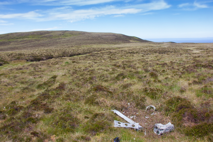
Some pieces of Avro Anson EF820 on A'Chruach.
Stuart walked up the gully in the basckground in 2017.
Passing above the Whitley crashsite on the walk back to the car.
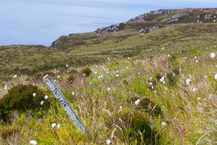
An old route marker to the Neptune site.