A few scraps
Avro Lancaster PD259 on Carn Icean Duibhe.
(Distance
covered = 18.0 mile)
Another championship in Inverness gave me the opportunity to visit one of the crashsites that I regret not visiting back in the 1990's , an Avro Lancaster in the Monadhliath Mountains.
Back in 1996 we spent a weeks holiday in a log cabin
beside Loch Lochy, just below Loch Ness. Our youngest son was just two at
the the time so my wife agreed reluctantly, after a bit of negotiation, that I could go
off on just the one wreckhunting trip.
I knew that Lancaster
PD259 had crashed in The Monadhliath Mountains not far from where we
were staying but it was listed in HGWR as only having small pieces
remaining, so I opted to go and see the wreck of Lancaster TX244 on Beinn Eighe*
instead.
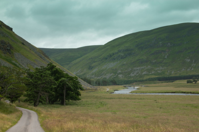
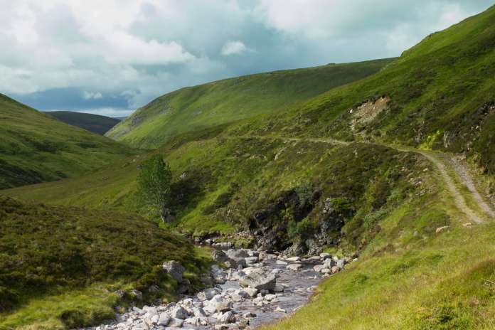
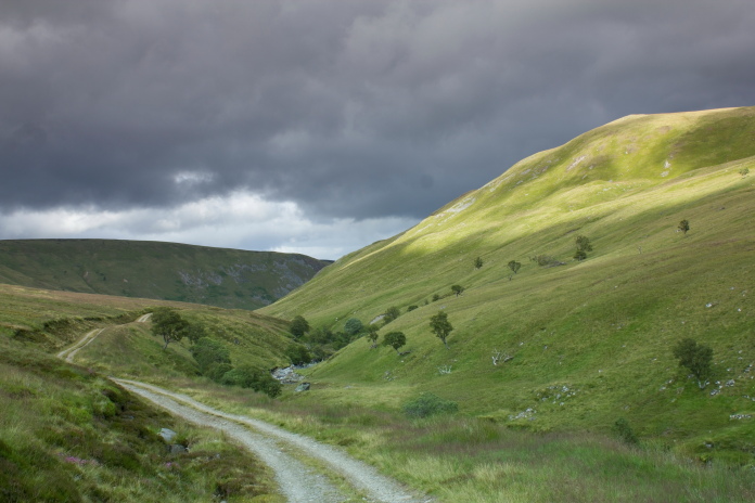
Driving along Strath Dearn.
After seeing reports and photos of recent recovery operations by the RAF from the crashsite of PD259 I could see that there had actually been quite a considerable bit more than some 'small pieces' left. Unfortunately according to some reports I'd read it would now seem that the site had been completely cleared. As the Lancaster had scattered over a large area I figured that regardless of how thorough the recovery operations had been there was bound to be a few scraps left lying around and as it looked like it would be a nice walk anyways I decided to go and have a look.
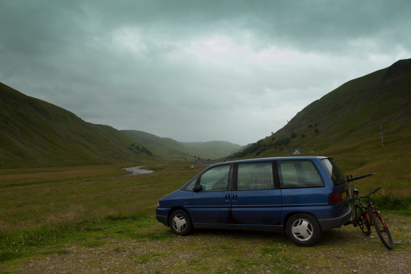
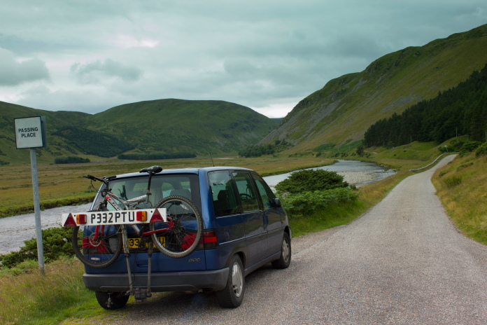
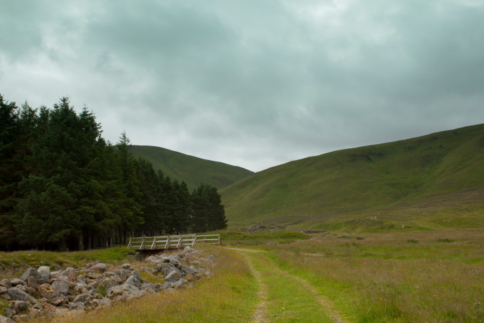
Parked in the carpark near the Old Coignafearn Lodge.
As it was quite a distance I took along the bike. My plan was to follow a Landrover track which made a 12.5 mile circuit through the Mountains before ending up back at the same place. This track passed within two mile of the crashsite, so I could follow it to the nearest point then ditch the bike, go and have a look for any pieces of Lancaster, then when I returned to the bike continue on the Landrover track to complete the circuit.
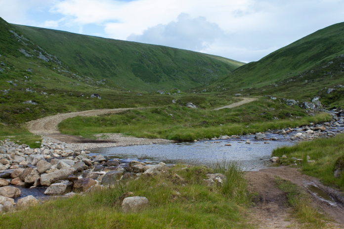
Cycling back down Strath Dearn to pick up
the start of the Landrover track.
I was undecided on doing the Landrover track circuit in a clockwise or anticlockwise direction but I could see from my map that if I went anticlockwise it would be a long gradual ascent on the way out followed by a shorter steep descent on the way back whereas clockwise would obviously be the opposite as in a short steep ascent followed by a long gradual descent. I figured as I would probably end up pushing the bike up the hill the shorter steep ascent would be less painfull, and the long gradual descent would reduce the risk of me going arse over tit!
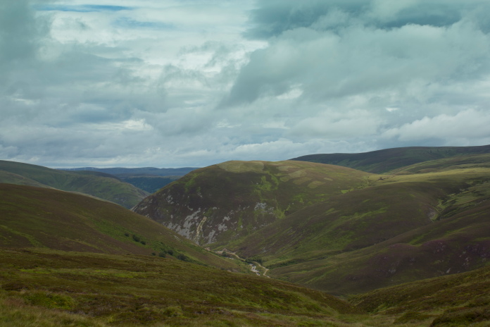
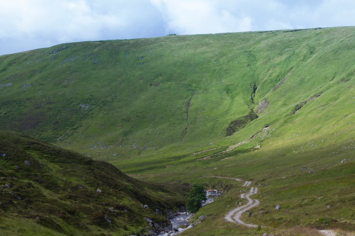
View from the road across to the aforementioned short steep bit.
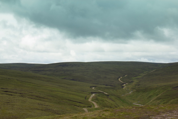
Once onto the baelach between Carn Mor (on the left) and Carn Easgainn Mor
(on the right), the hardest work of the day was done!
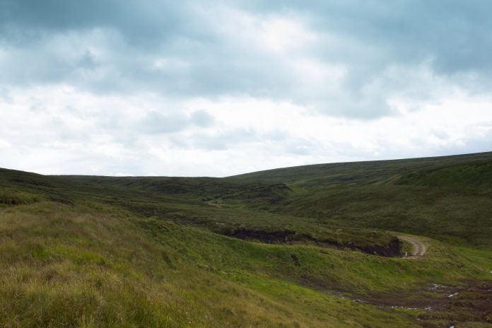
Approaching the ruins at Coignafeuinternich,
the inhabitants moved out because they couldn't pronounce the name!
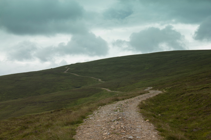
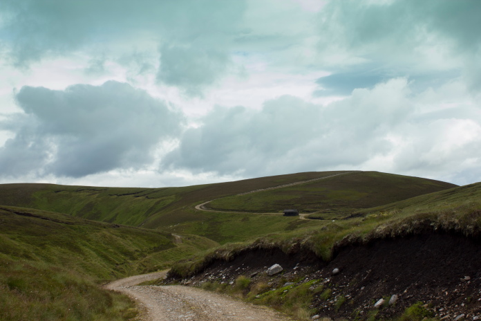
Zigzags up the side of a hill are never a good sign!
When I said the short steep ascent would be less painfull; I was wrong and the combined weight of my rucksack and of pushing the Bike meant I was, for want of a better word, knackered by the time I reached the first baelach.
This stretch was definately a good cardio workout!
Once over the baelach my legs and lungs had a chance to recover thanks to a half mile stretch that was slightly downhill this meant I could hop on the bike, after that it was up and down for a distance but nothing anywhere near as tortuous as the first climb.
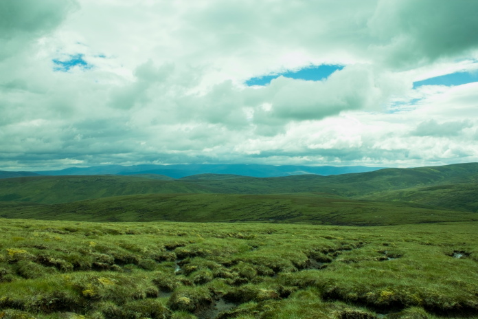
This stretch around the back of
Carn Easgainn Mor was easy going.
above and next two photos:-Views from Carn Easgainn Mor.
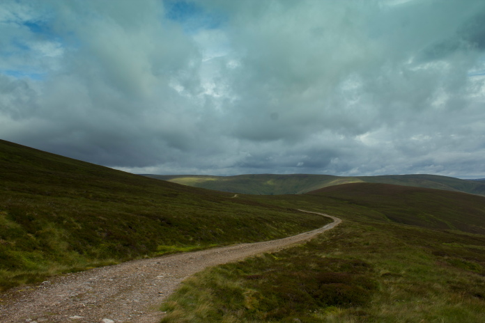
Next stretch over to Carn Choire Odhair.
Dropping off the southern side of Carn Easgainn Mor I passed a lodge used for shooting parties to have their picnics, circling just a few feet away from this was a massive Golden Eagle, I was nowhere near fast enough to get my camera out to take a photo so I can add 'Massive Golden Eagle in the Monadhliath Mountains' to my list of missed photo opportunities alongside the 'two Lancasters flying below Criffel'*** and the 'Vulcan flying over Hunt Law'****.
 View back to the Picnic Lodge and the now scarpered Golden Eagle.
Next on my agenda after failing to get a photo of the Eagle was to try and ride the bike across a small ford way to quickly which culminated in a rather impressive crash after the front wheel wedged itself in some boulders.
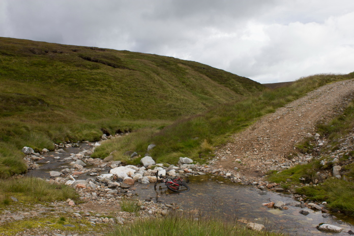
I left the bike lying in the burn for a
while to ponder the error of its ways while I had some refreshments on a
conveniantly placed log and admired the wounds I had acquired in the
crash..
After a little bit more upping and downing I eventually arrived at the north western slopes of Carn Icean Duibhe where I ditched the bike and headed off cross country towards the grid ref I had for the Lancaster.
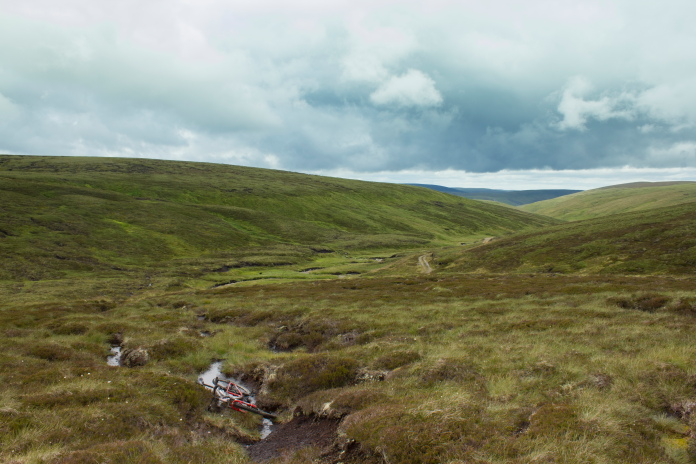
Where I ditched the bike, in a ditch!. 9
mile from the nearest road and hidden in a random ditch, but I still went
ahead and put the lock on it, well you never know someone might come along
looking for a bike to pinch!!
The going across Carn Icean Duibhe was not the easiest as it was all peat hags and gullies, so progress was slow. It took me an hour and a half to cover the two miles from the bike to the crashsite so I was starting to get into the all too familiar situation of running short of time.

Approaching Carn Icean Duibhe from the north
west.
If visibility had been poor I was planning on following a boundry fence that was clearly marked on my map. This fence went over the top of Carn Icean Duibhe then across to the east where it passed very close to the crashsite. When I came across the fence I was pleased the visibility was good because I might have walked right past it without realising. Never a good idea relying too much on fences for navigation.
above and below:- The boundry fence across Carn Icean Duibhe.
Over onto the south eastern side of Carn Icean
Duibhe, the crashsite is over the other side of the next small hill in the
centre of the photo.
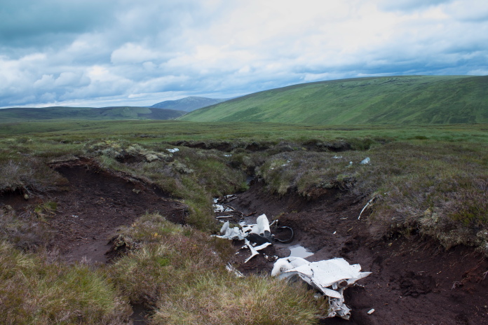
By the time I arrived in the area the crashsite should be it was 1:30pm, which was the deadline I had set myself for turning back to allow myself enough time to get back to Inverness for 5pm, which was when the competition was due to finish. I started to have a quick search around but could see nothing, so I was beginning to think that perhaps they had removed everything, and I was going to have to just settle for having a nice walk at least. After a quick recalculation with the time adding in allowances for it being all downhill on the way back, I allowed myself another half hour. I searched a bit more over to the east where I found a small piece of Lancaster sticking out of the heather and a few feet further on were some scraps lying in the peat.
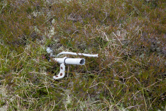
The first piece I found.
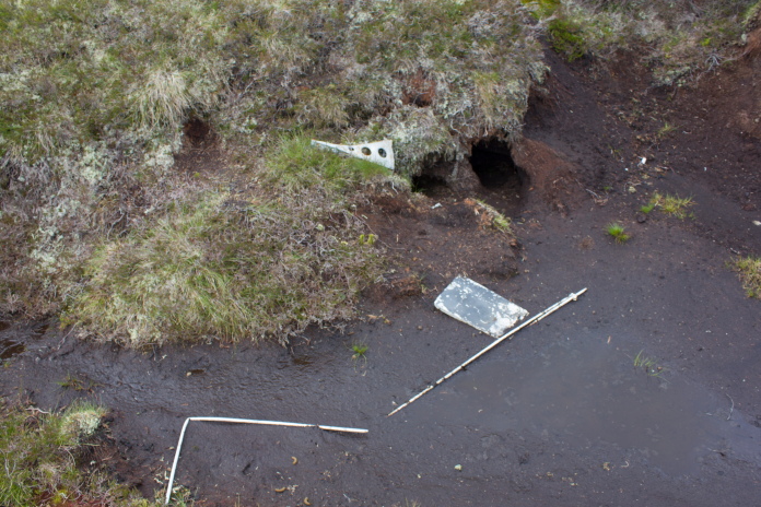
A few feet away were some more small pieces lying in the mud.
Happy that I 'd found something at least and I could add crashite number 118 to my list I prepared to head back to the bike but then noticed something sticking up from the heather another few feet further on.
OK, looks like I'm going to be late back to
Inverness.
(More Photos)
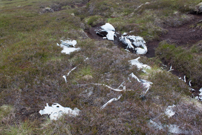
From this collection of wreckage which looked like it could of all originated from one of the Lancaster's wings; I could see other pieces scattered about in peat gullies nearby, and on checking them out I was spotting other pieces, so completely forgetting about the time I proceeded to hunt about photographying every piece I could find, the trail of wreckage lead me in a westerly direction where about a quarter of a mile away I found an even larger crater full of wreckage.
Above and below:- Some of the wreckage found scattered in the peat gullies.
For more photos of the wreckage in the peat gullies click here.
A few more scraps up there then!
This gully leading up to the large crater was also full of wreckage.(More
Photos)
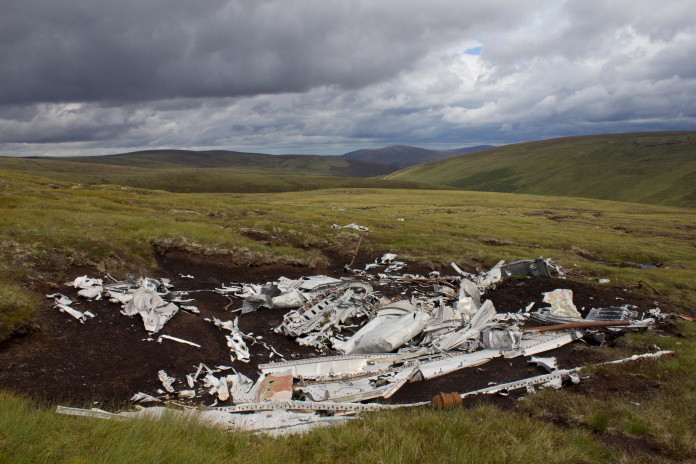
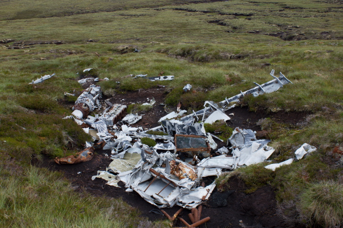
Above and below:- the large crater where the bulk of PD259 crashed
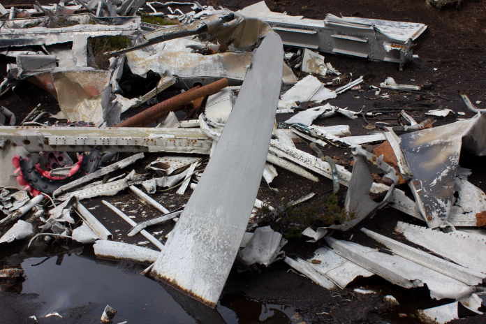
I am pretty sure there will be a Rolls Royce Merlin attached to the other end of this propellor blade.
For more photos of wreckage in this crater click here
Although I'd found a lot more wreckage than I'd expected I wasn't convinced I had found every piece as it is so well scattered. I couldn't afford any more time to search around as I now only had 1.5 hours to get back to Inverness, so considering it had taken me 4 hours from the car to the crashsite I resigned myself to the fact I was going to get some grief off the girls for turning up late to pick them up.
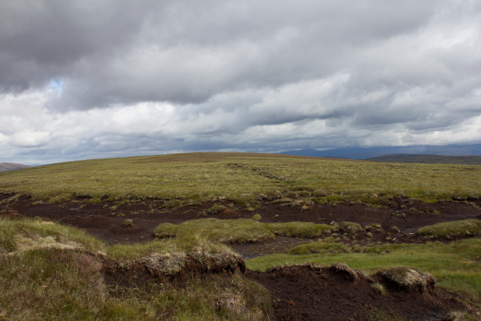
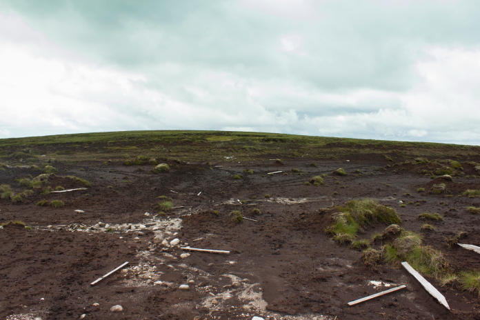
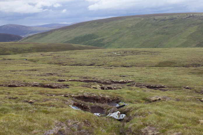
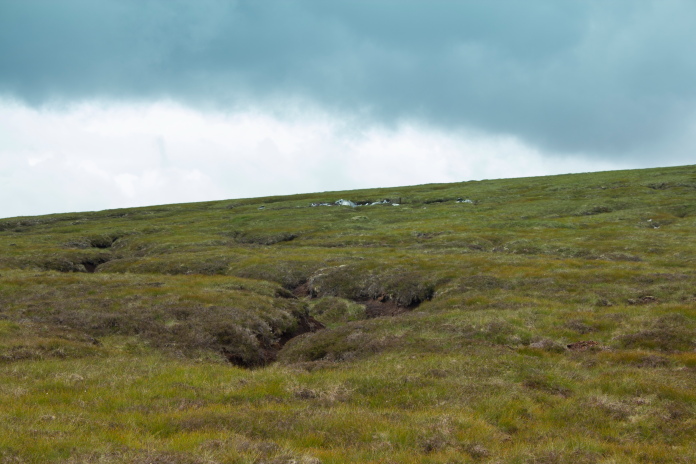
The small unnamed hill on the south eastern
flank of Carn Icean Duibhe where Lancaster PD259 crashed.
Although I was now really pushed for time I deduced I would make better progress if I stopped and had a bite to eat so I had a sit down in a very large peat gully in the baelach between PD259's hill and Carn Icean Duibhe. This bait stop happened to be in one of the few places there was a phone signal so I was able to let the girls know I was going to be well late. Turns out they wern't bothered as after Heather's competition was finished they were going into the next hall to watch some friends who were taking part in the Pre-Championships.
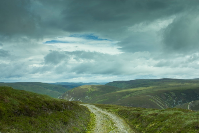
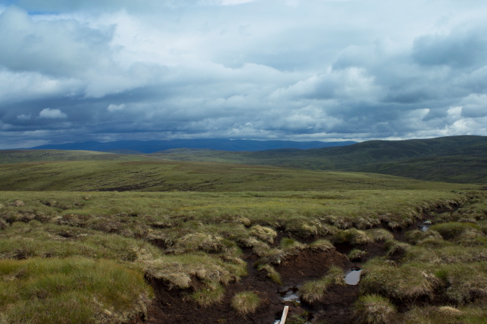
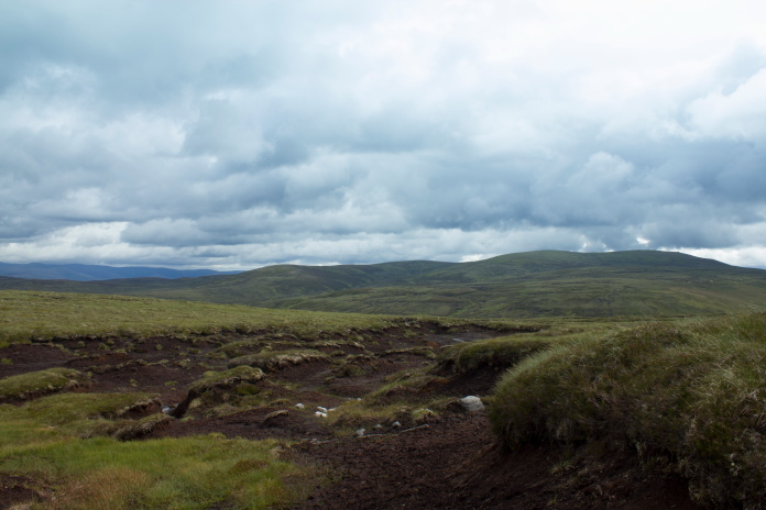 View south
from where I had my bait stop. The crashsite could also be approached from Kingussie which is about
8 or 9 mile in that direction.
View south
from where I had my bait stop. The crashsite could also be approached from Kingussie which is about
8 or 9 mile in that direction.
Once I'd managed to find the right ditch that I'd hidden my bike in, it was all downhill back to the car, well apart from a short uphill stretch to start with. As is always the case when I utilise the Bike it seems like a bad idea at first when I am pushing it up the hill but what is lost on the swings is always more than made up on the roundabouts so by the time I arrived back at Inverness I was only 1 hour late.
Back at the bike, once over this small rise it was all downhill.
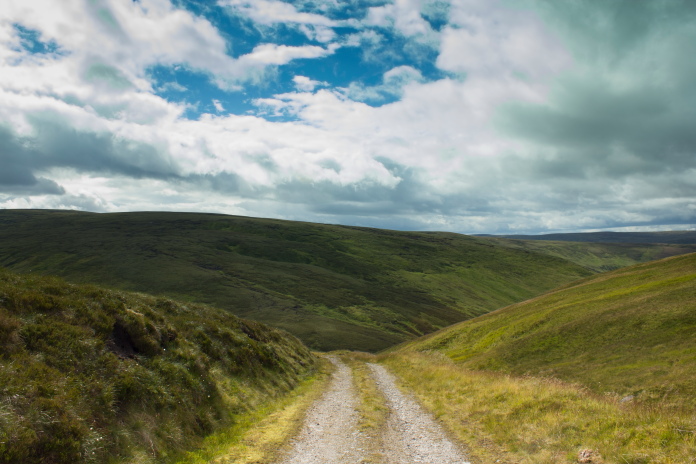
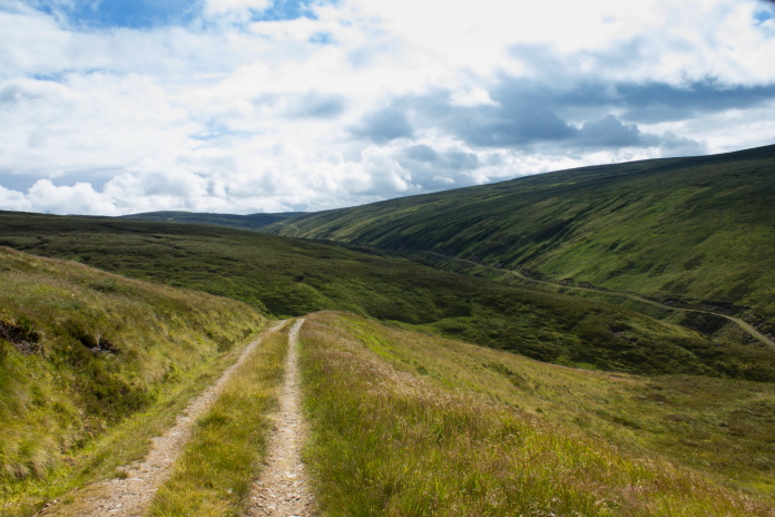
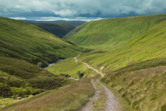
above and next 6 photos:-Lovely downhill gradient all the way back to the carpark.
Considering my previous encounter with a ford I should have known better than to try and ride over this one. At least my boots ended up nice and clean!
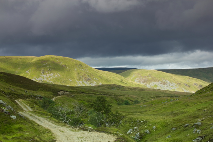
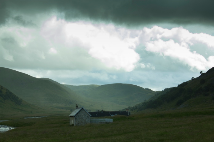
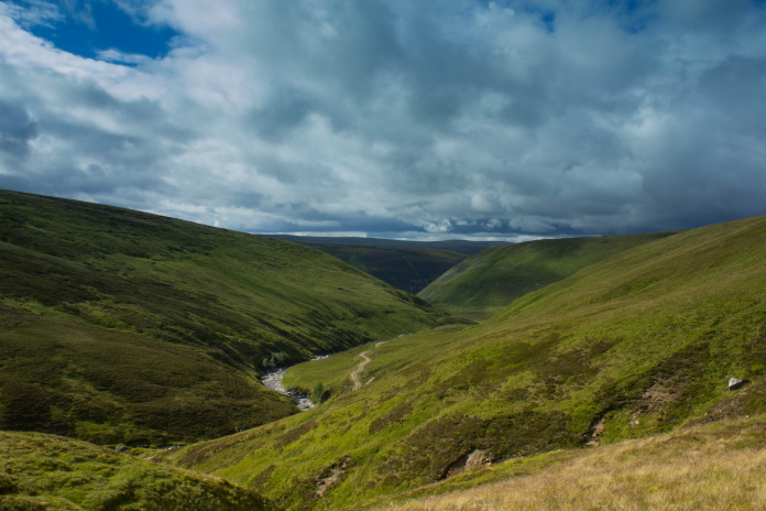
above and below:-Although it had been pleasant all day some storm clouds had now started to gather.
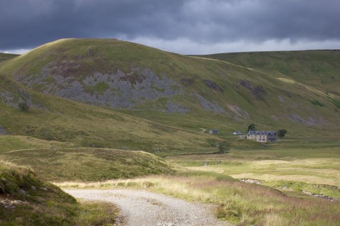
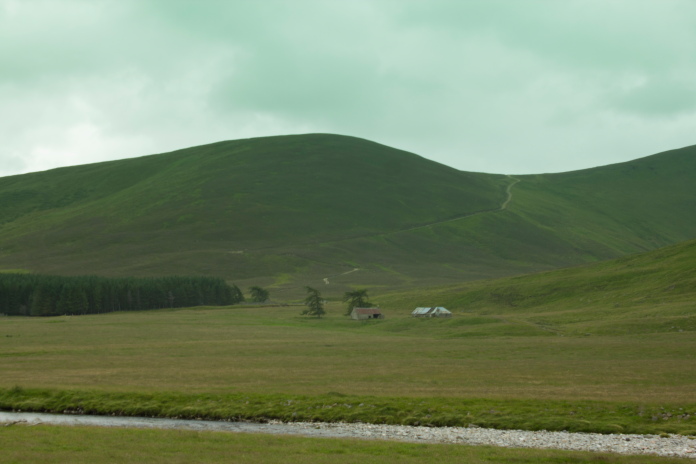
The new Coignafearn Lodge; when I win the
lottery I'm going to live in Birse Castle** and have this for my holiday
cottage.
Very long straight bumpy stretch, by the time I got to the other end of this I was suffering from vibration white finger!
The carpark is just the other side of the building in the distance.
8.5 hours later and back to where I started.