Hill Trek, The Next Generation.
Bristol Beaufort DX118 on Brownhart Law.
(Distance covered
= 1.1 mile/Ascent = +70m)x2
AW Whitley
P4952 at
Mesling Crags
(Distance covered =
1.45 mile/Ascent =+44m)
Supermarine
Spitfire P8193 in Houxty Woods
(Distance covered
= 0.62 mile/Ascent = +39m)
Hawker Hurricane KX190 on Steng Moss
(Distance covered
= 0.2 mile/Ascent = 0m)
(Distance covered = 0.2 mile/Ascent = 0m)
I was still struggling with my fitness after suffering numerous bouts of covid since it's first appearance back in 2020 and I was also a little overweight after the 2022/23 Christmas break. My first walk of 2023 was on the 29th of February when I hiked up onto Hart Fell near Moffat to look for remains of a Bristol Blenheim; I found it very hard work and I also managed to injure an Achilles tendon.
I decided to limit myself to some shorter walks to get my lungs, weight and Achilles tendon into better shape, and as there were several 'local' crashsites that I hadn't got around to visiting yet I made a plan to go and look for three of those which were all relatively short distances from the nearest road. Two of them were in the vicinity of Bellingham and one a little farther north on the perimeter of the Otterburn Army ranges.
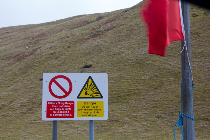
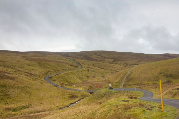
Best take notice of that sign then!
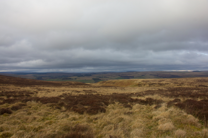
To start my first walk on this day I had to drive up the far end of the Coquet Valley and park in a small carpark near the Chew Green Roman Camp and the remains of the Medieval Village of Kemylpethe, neither of which I went to have a look at, instead I headed straight onto Brownhart Law to look for remains of Bristol Beaufort DX118.
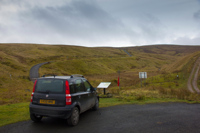
Above and below:-Amanda the Panda, parked up at Chew Green. On the other side of the small stream is the Otterburn Army ranges.
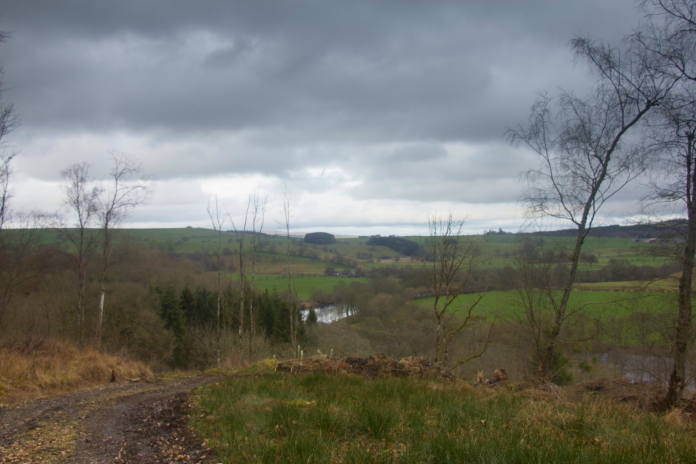
View down the Coquet Valley.
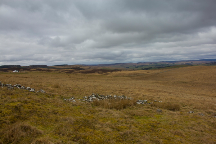
I was in possession of a 6 digit grid reference for the location of DX118's remains, and I also had a copy of a photo I'd seen on the interweb as a reference; trouble is the grid reference and the photo just didn't match up. A six figure Ordnance Survey grid reference means you still have a 10,000sq metre area to search, but I was well out of that 10,000sq metre area before the background of the photo even started to look similar to what I was seeing on the ground.
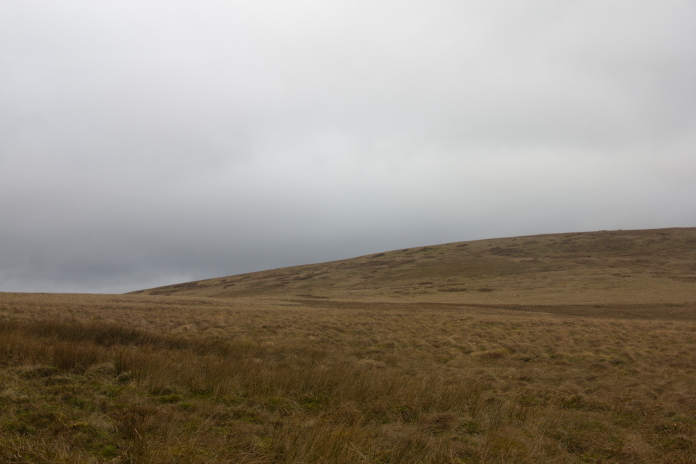
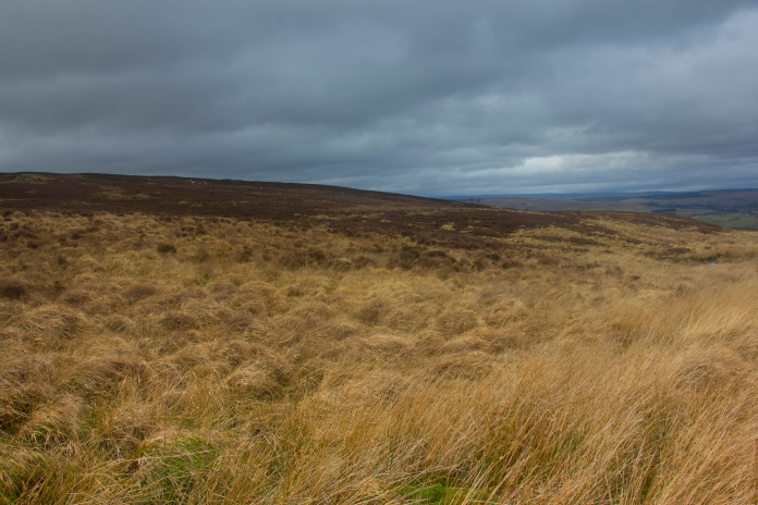
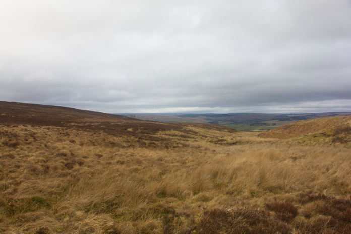
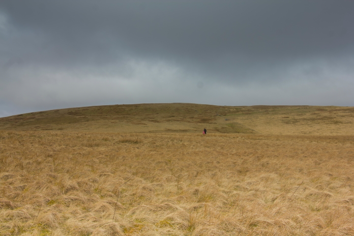
 Approaching the grid reference I had; I was to find out this grid reference was wrong.
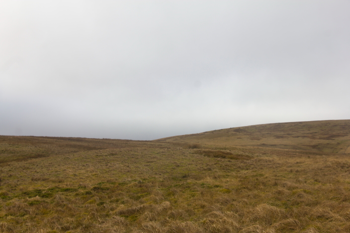
Above and below:-The Beaufort actually crashed in this area but despite a good search around I found nothing.
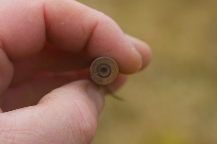
After scratching wandering around on the hillside for about 3 hours I came across a small scar containing several bullet cases, my initial thoughts that I had at last found the crashsite of DX118 were soon dashed however when I realised the bullet casings were not .303, so after that disappointment I chalked this one down as an FTF and set off back to the car to move onto crashsite number two. I was to find out later that this Beaufort was not armed as it was being ferried so there would have been no bullets on board anyways.
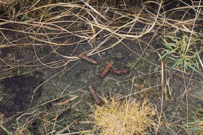
Above and below:-There were quite a few of these scattered around in this scar and another one a short distance down the slope. According to a quick google search they were 'Tank mounted machine gun blanks'.
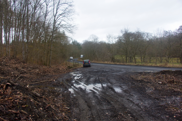
I knew there was going to be limited parking at the start of my next walk and I found out on arrival that I wasn't wrong. Luckily I was in the little Panda and there was just enough room to squeeze it onto the grass next to the gate at the start of the footpath I needed to follow.
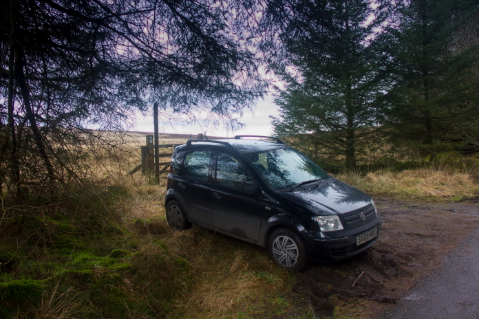
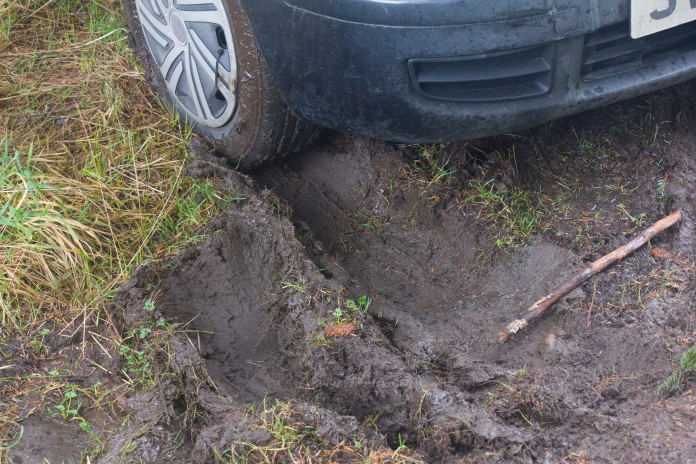
above and below:- I decided to not worry about being stuck in the mud until I got back from the walk.
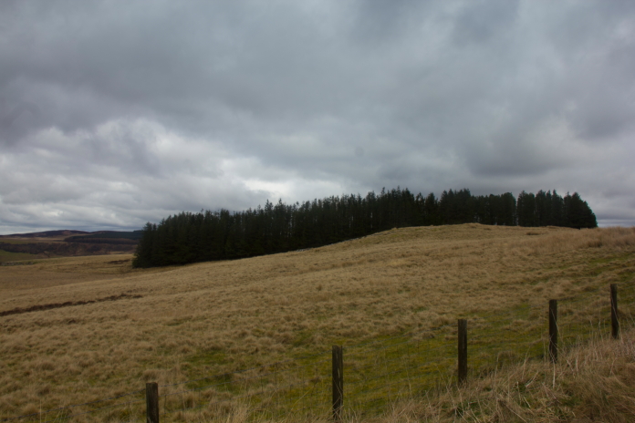
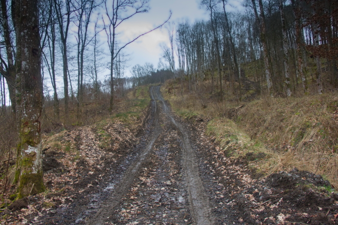
The footpath headed off roughly to the north east but I needed to be to the north west, so I only got to follow it for a short distance while I watched for the easiest looking going to head off piste in the direction of some rocky outcrops called Bell Crag. Once I reached Bell crag I would be in the vicinity of the crashsite of AW Whitley P4952.
On the footpath heading to the north east.
Off the footpath heading to the north west. Bell Crag can be seen on the left.
Approaching the Whitley crashsite.
There wasn't much left of the Whitley on the surface, just a few scraps of alloy but there was a lot of pings on the metal detector in the depression where the bomber had ended it's final journey. It would be interesting to have a bit dig to see what was left but as I neither had permission off the Landowner nor a permit from the MOD I again had to refrain from that activity. The metal detector did prove handy again for finding some bits that were on the surface but hidden in the vegetation, which was always my intentions when I acquired the detector.
above and below:- The area where P4952 met it's demise. The depression is just left of centre in the photo above.
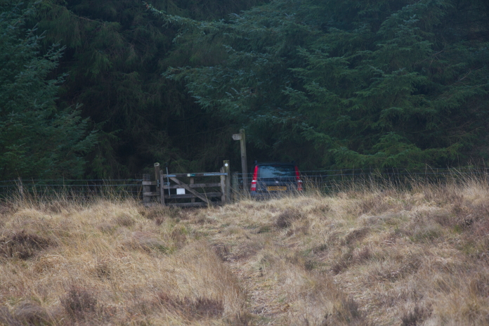
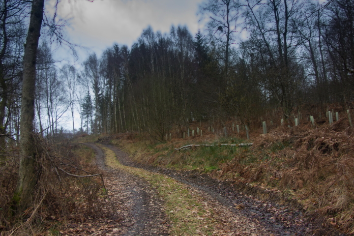
I had actually attempted to go and have a look for the third crashsite on my days agenda before, a Spitfire that had crashed in Houxty woods on the B6320 between Wark and Bellingham; on that occasion I had been pushed for time and finding somewhere to park near the start of the walk had been more problematic than what I had just experienced at Mesling crags, so I gave up before I even started. On this occasion I had more time, so I could find somewhere to park further along the road. It transpired however that I could park right next to start of the track that lead up to the Spitfire crashsite as they had been felling trees and as a bi-product had created a massive, albeit muddy parking opportunity.
 Amanda the Panda parked at the start of the
track into Houxty Wood.
Amanda the Panda parked at the start of the
track into Houxty Wood.
above and below:-A short but steep walk in Houxty Woods.
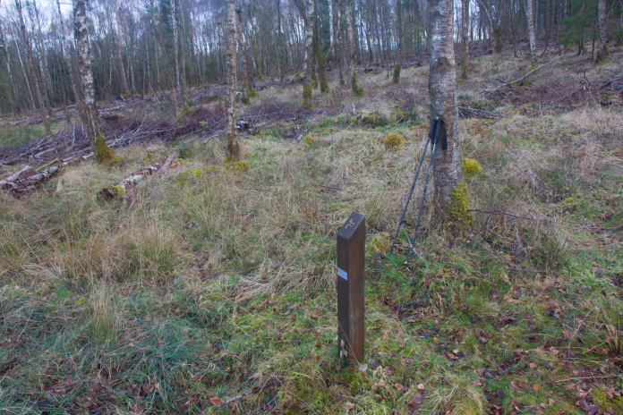
I failed to find any pieces of the Spitfire, but I did get a couple of pings on the metal detector (again no digging involved) and there was a marker post placed at the site, which meant this one didn't have to go down as an FtF. Unfortunately the post was in poor condition with the plaque missing off the top, it had also narrowly escaped being wiped out by forestry machinery.
above and below:-The marker post in Houxty Woods.
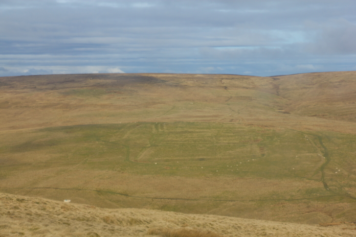
Several weeks later I returned to have another look for remains of DX118 on Brownhart Law, but this time I was in possession of a 10 digit grid ref thanks to Jim Corbett of ACIA, and also I had 2 extra sets of eyes to help me search, as my Son, and his son, aka my Grandson had come along on the expedition.
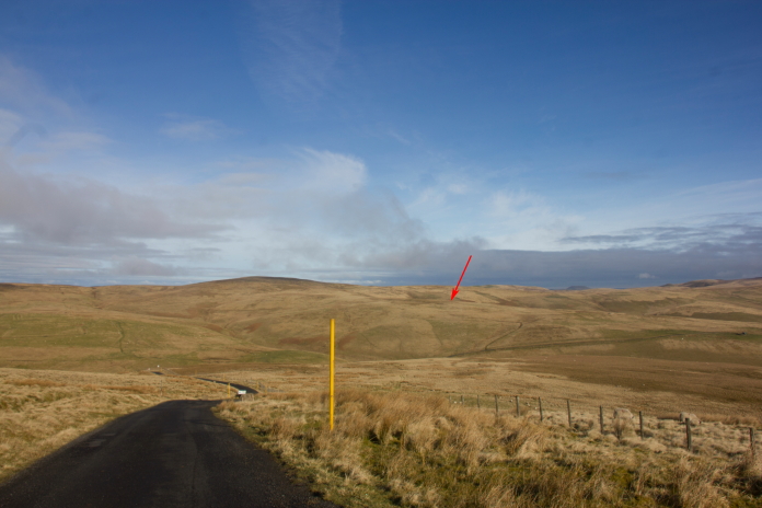
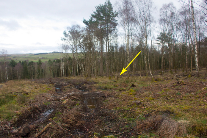
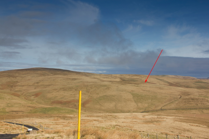
above and below:-Driving across the Otterburn Ranges towards Brownhart Law, the location of DX118's crashsite is arrowed.
On this occasion I also had a look at the remains of the Roman fort, although, only from a distance.
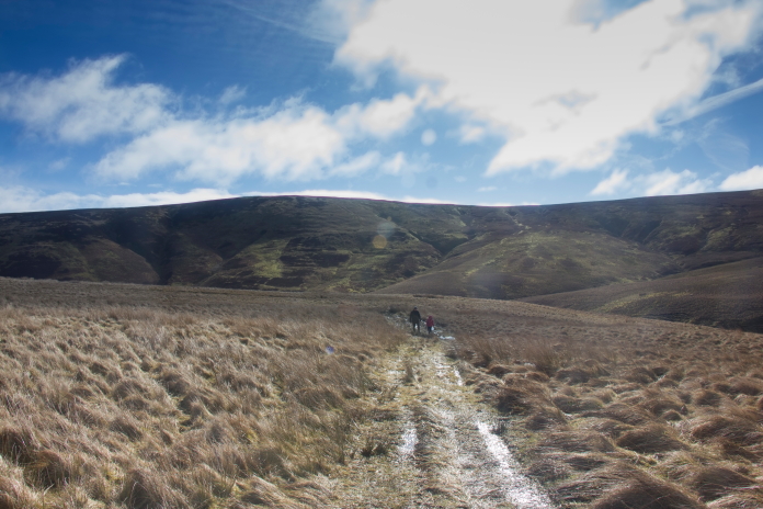
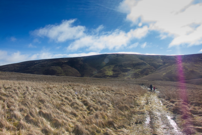
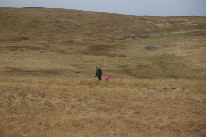
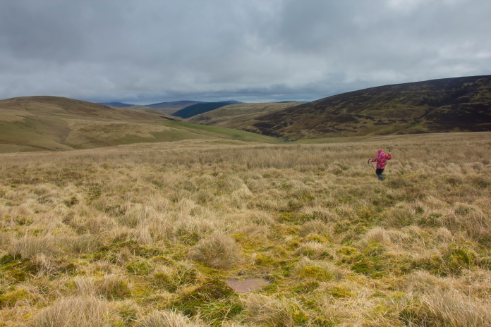
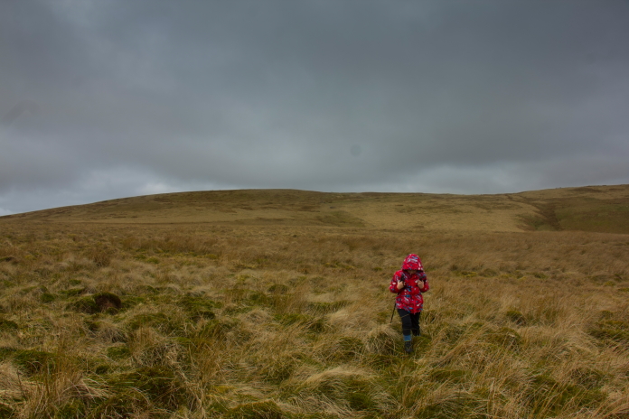
above and next two photos:-Stuart and Theo making their way, via every muddy puddle, up onto Brownhart Law.
above and below:-Stuart and Theo at the crashsite of Bristol Beaufort DX118.
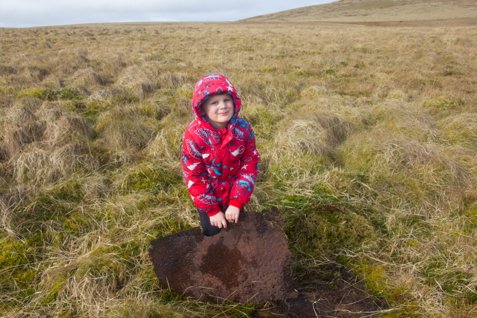
Theo holding a sizeable chunk of armour plating from DX118.
Motorcyclists driving along the top of Brownhart Law. Each to their own, but this activity does appear to be a little noisy and destructive.
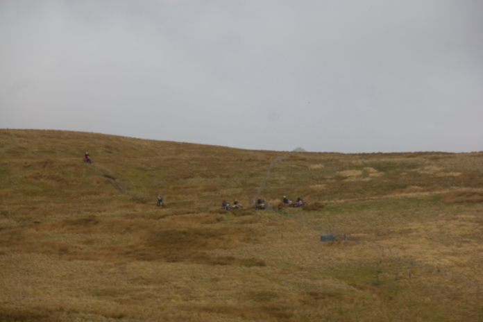
Above and below:-Theo searching for more bits of Beaufort. The lump of armour plate can be seen at the bottom of the photo above.
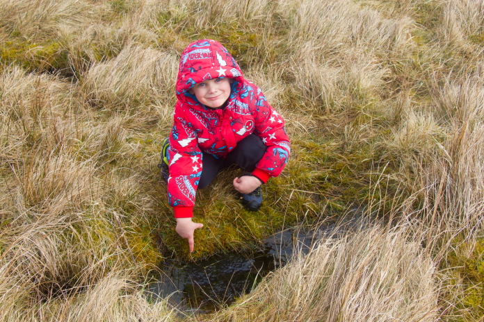
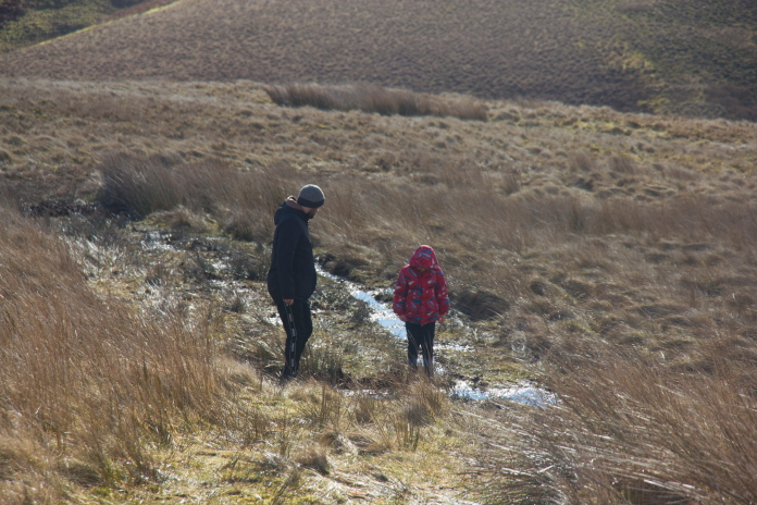
Another exciting find for
Theo, a puddle full of Frogspawn.
On our way home after finding the Beaufort site we called by Steng Law which is right next to a minor road near Elsdon. A Hurricane had crashed here during the war while engaged in a practice attack on an Army convoy. ACIA had in the past found several fragments of the Hurricane hidden in the undergrowth near the road but we managed to find nothing.
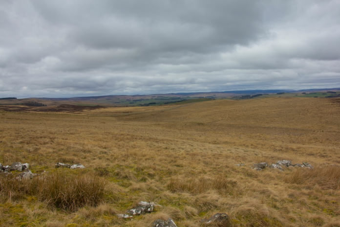
Above and next two photos:-Steng Moss, where Hurricane KX190 crashed.