
That'll do 2!
Panavia Tornado ZE858
(Stainmore)
(Distance covered =
0.7 mile/ Ascent = 26m)
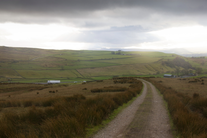
Curtiss Tomahawk AH744 on Red Gill Moss.
(Distance
covered = 5.2 mile/ Ascent = 160m)
In March of 2024 I eventually got around to paying another visit to the
Tomahawk crashsite I first visited in the early 1990's with my wife as
company*; on that trip we did find some of the wreckage but also missed a lot
of it.
A mile or so before arriving at the place where I was planning on
parking for my walk across to Red Gill Moss I stopped at a large
layby beside the A66 to have a quick look at another crashsite which was
only 100 metres from the road.
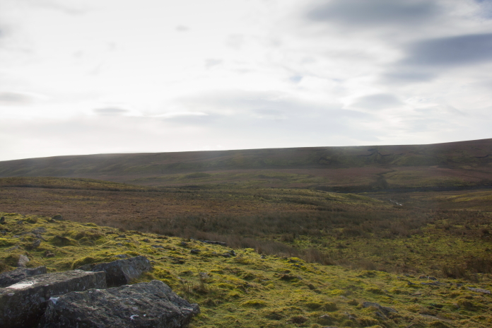
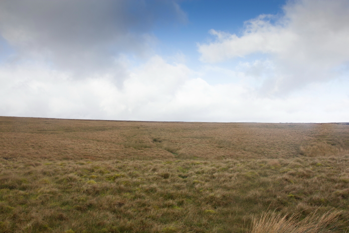
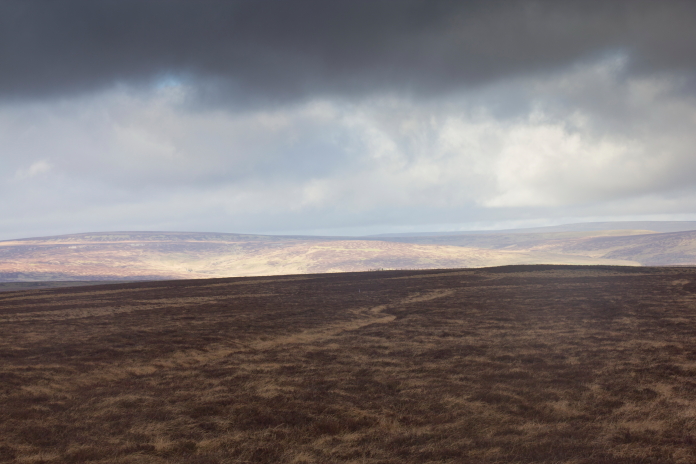
My first search area for this day.
As this crashsite was so near to the road I didn't bother changing into my hiking boots, instead I just sauntered down wearing my trainers, this turned out to be a bit of a mistake as although the terrain looked nice and dry and level from the road it was actually very wet and boggy. My feet were soon soaking wet.
At the grid reference I had.
I'd seen photos of this site on the interweb and I also had a grid reference but on arrival there was no sign of any wreckage or any burnt or disturbed ground. I did have my metal detector with me so at least I would be able to add this one to my 'Probable' list if I managed to get some pings on that.
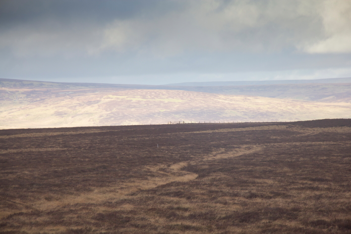
Looking back up the slope towards the busy A66.
A very short distance up the slope there was what
looked like it could be a gouge made by the Tornado as it crashed into the
ground, or possibly remnants of an infilled crater. I got some pings on
the detector at one end of this and managed to find a small bit of
wreckage hidden under some moss.
Possible Impact gouge or remnants of a crater.
I followed a trail of pings on the metal detector from here down to the
stream in the middle distance.
As I ended up finding a couple of small pieces of wreckage hidden in the vegetation as well as getting numerous hits on the detector I left this location with one more site to add to my 'crashsites found' list but also with very wet feet but
More crashsite
photos
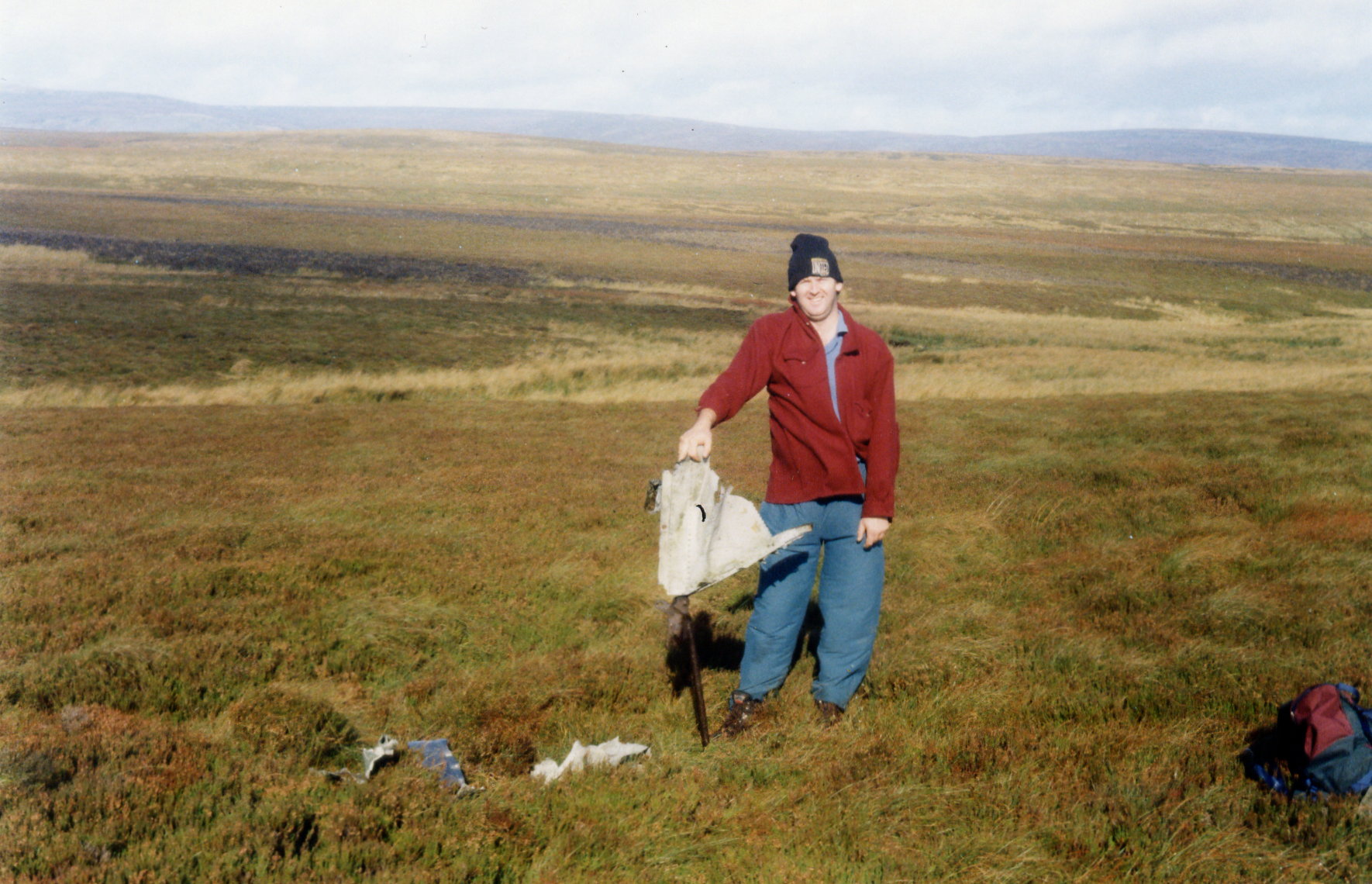
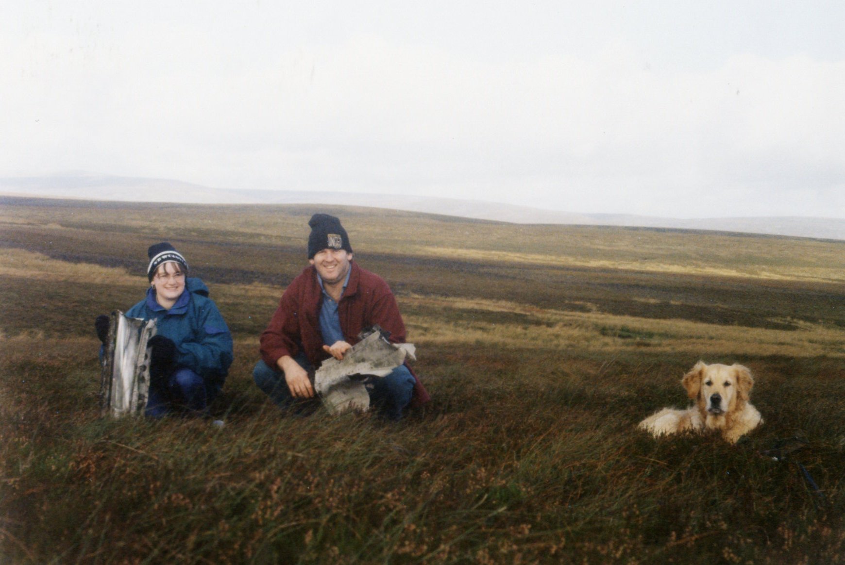
Next on the days outing was another visit to the Curtiss Tomahawk wreck on Red Gill Moss. I had previously visited this site with my wife about 30 years ago, back then we found some pieces of the Tomahawk but didn't find the main crater or impact scar.
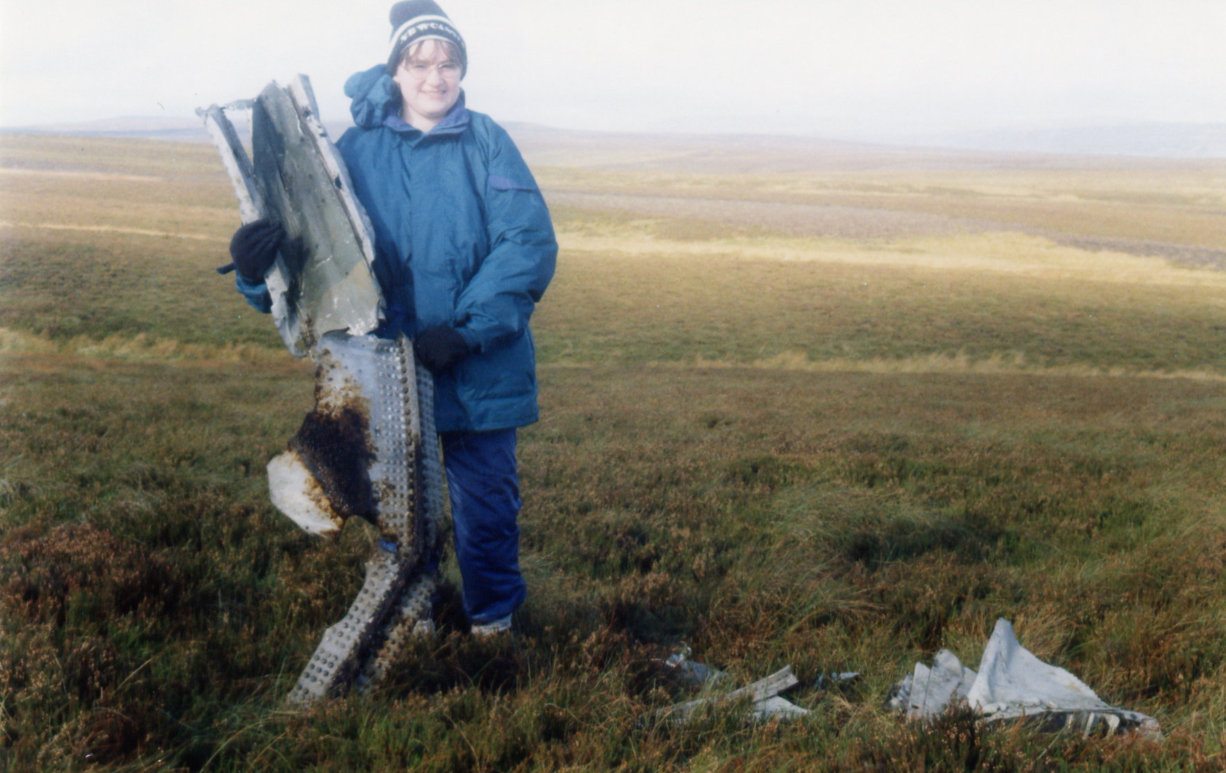
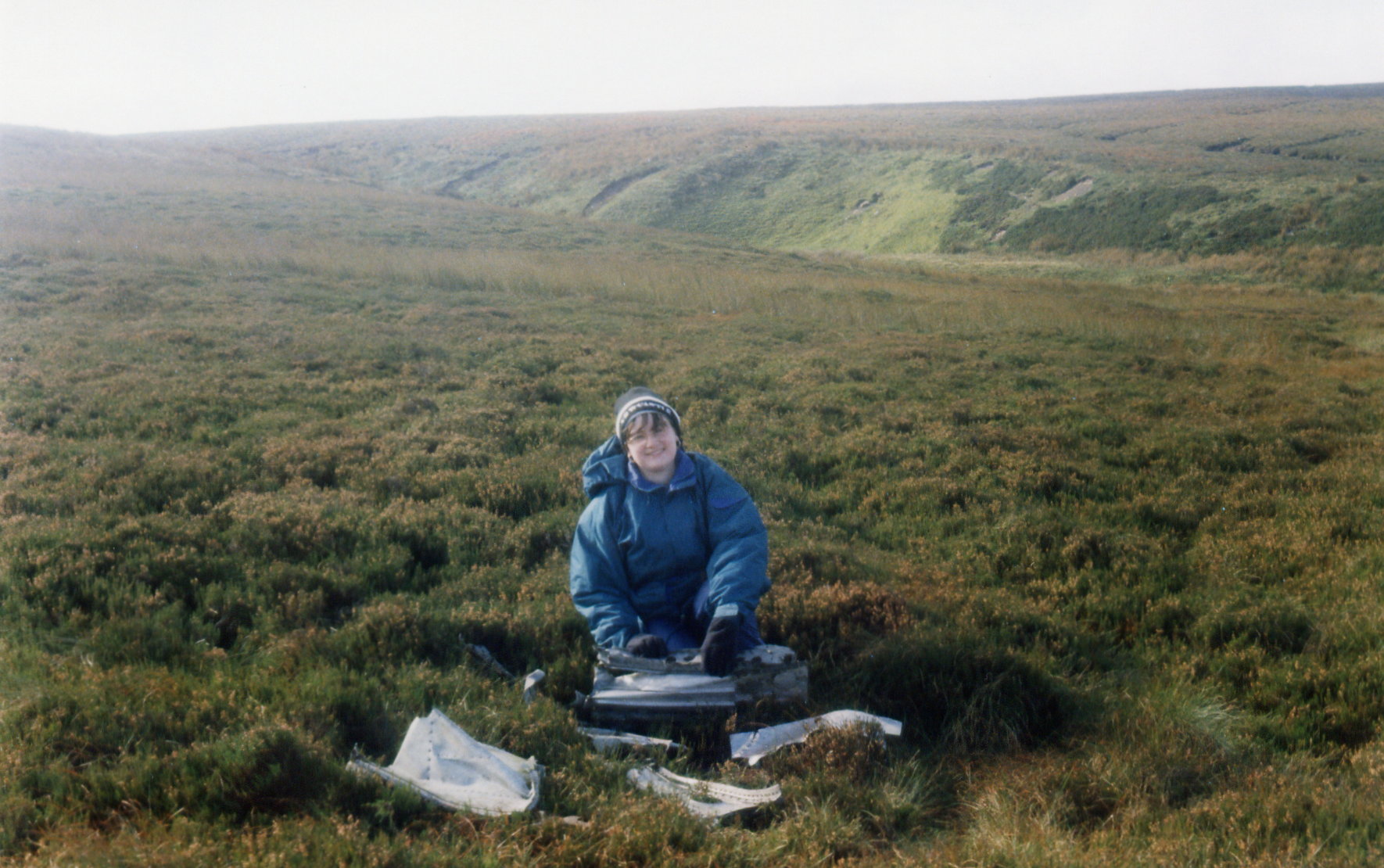
The missus holding a lump of Tomahawk back in the early 1990's
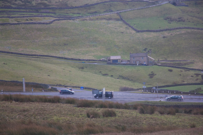
On the first visit to Red Gill Moss we walked in from Balderhead reservoir to the north of the site; this time I was walking in from the A66 to the south. The first of two initial problems I encountered was getting parked. There was a layby about 1 mile past where I was starting my walk but that would entail an addition of 2 mile of walking, instead I parked on a grass verge on a minor road that branched off from the A66 exactly opposite where I needed to be.
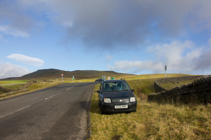
A nice steep incline on this road meant gravity would
come to my rescue should Amanda the Panda become stuck in the mud.
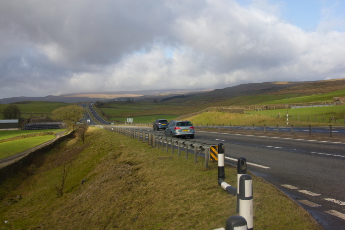
Second problem, crossing the very fast moving and busy A66 without getting run over.
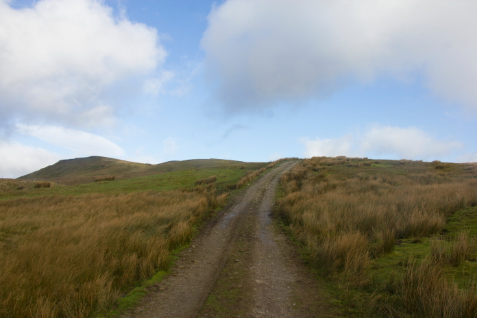
Once over the dual carriageway it was a pleasant trudge along a landrover track for the first couple of miles then another mile or so 'off piste' to reach Red Gill Moss. Back in the 1990's I was only in possession of a paper map and a 6 digit grid reference which I'd acquired from a small book called 'High Ground Wrecks and Relics' (HGWR) ; A 6 digit grid ref meant a 10,000sq metre area to search. On this visit I was in possession of a map plus a gps and a 10 digit grid reference which meant I would only have 100sq metre to search, and my wife was not with me this time, improving my chances of finding the main area of wreckage considerably.
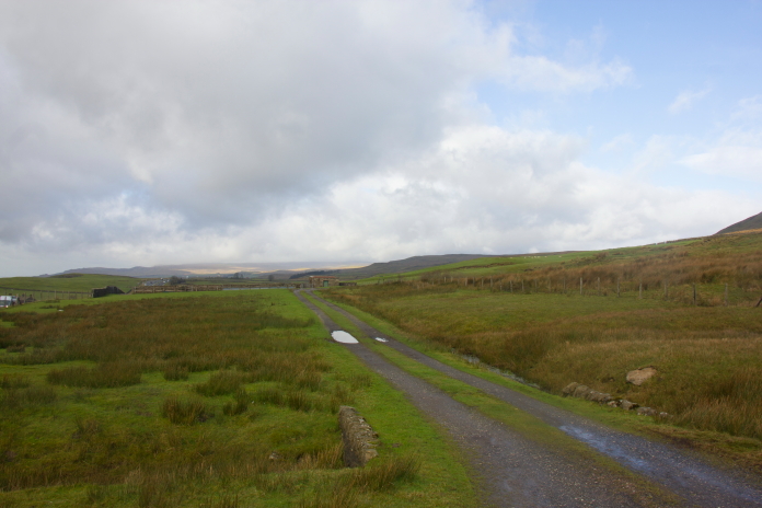
above and next two photos:- Makin my way along the landrover track.
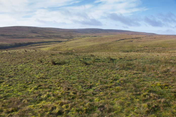
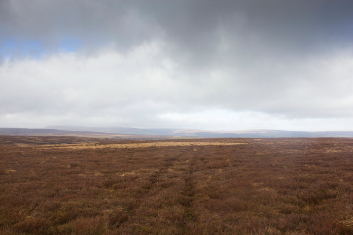
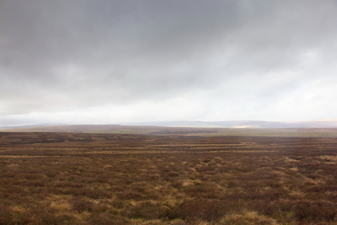
Looking across to Red Gill Moss from the landrover track.
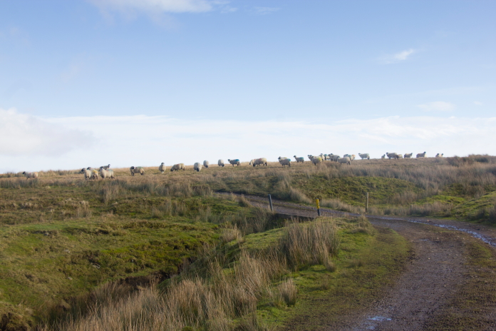
At this point on the track I was quite near to two other crashsites but I
was unaware of that at the time.**
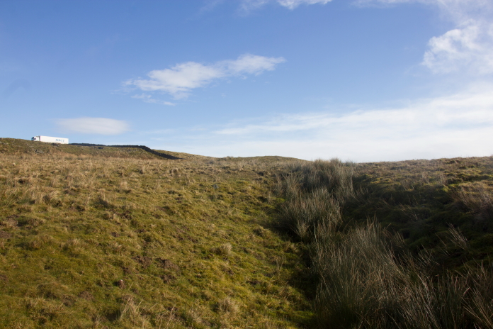
Once I reached a little cluster of shooting lodges the landrover track took a sharp turn to the left and went off in the wrong direction, so I had to leave it and follow a compass bearing over the featureless and boggy moorland. There was some feint quad tracks that I was able to utilise which made the going a little easier here and there but mostly it was bog and heather.
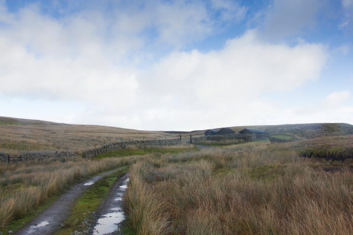
Approaching the hunting cabins.
above and next two photos:-Off piste over the moors.
A more substantial quad track which I followed even though it was going in slightly the wrong direction.
Above and below:- I followed the quad track to the gate in the distance then took another compass bearing to put me back on track to the Tomahawk site, the easier going made this quicker than going as the crow flies.
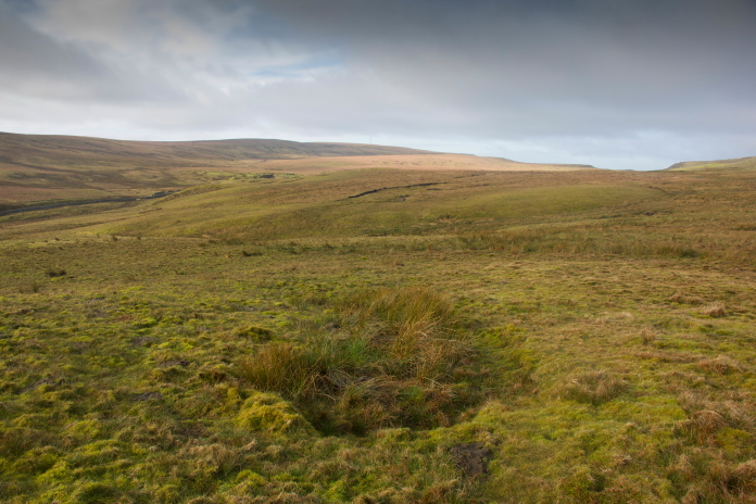
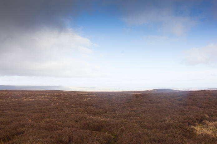
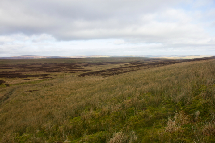
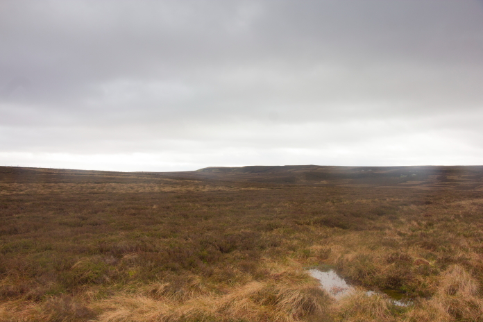
The area where Tomahawk AH744 ended it's final flight.
I found the crater and wreckage straight away this time and actually spent way more time searching for the bits we had found back in the 90's, whether they had been stolen or I was looking in the wrong place was hard to say for sure but for what ever reason I didn't find them.
Above and below:- Searching for the 1990's bits above and 3 photos taken in the 1990's below.
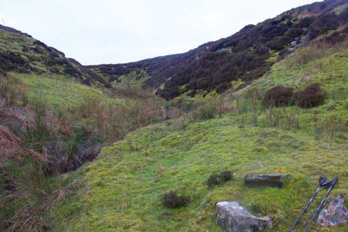
I sat on this rock to have some bait,
this gully can be seen in the background of the 1990's photo above
this one.
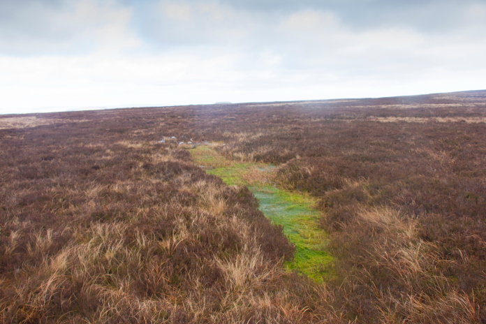
This long thin scar is where the wingtip of the tomahawk first struck the ground while it was in a steep bank to the left.
More crashsite photos
All that was left now was a trudge back over the moor to the hunting cabins followed by another trudge along the landrover track, before tackling the A66 again. I spent a long time stuck in the central reservation of that dual carriageway waiting for a big enough gap to cross. Even when I thought there was a big enough gap I still had to sprint across to avoid being wiped out by a very fast moving vehicle.
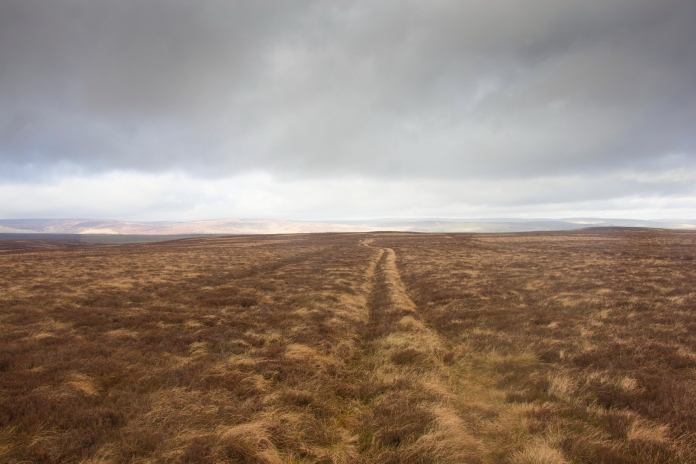
The way back.
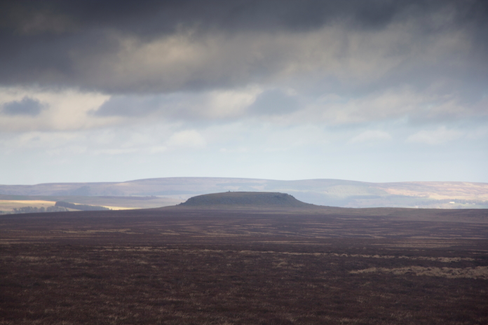
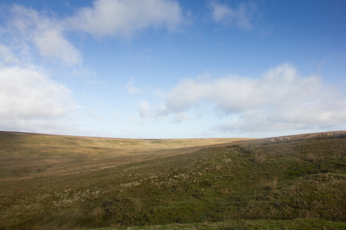
Strange bump in the middle of a flat moorland. I believe, if I've read the map correctly it is called Shacklesborough.
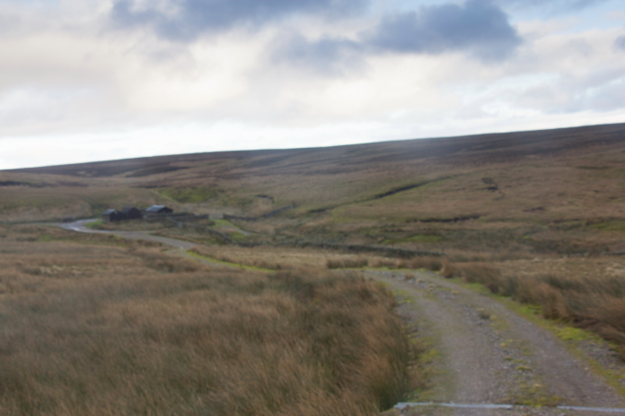
Approaching the Hunting cabins on the way back, the photo is a bit blurry as it was now very cold and very windy.
above and below:- Approaching the A66, it was quite dangerous crossing this.
*--First visit to Red Gill Moss. **--Other two crashsites