
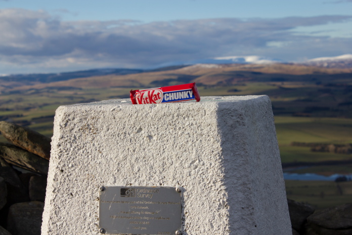
Big Guns, Scotch Eggs and a
KitKAt Chunky
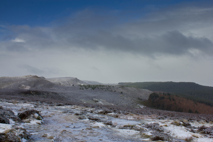
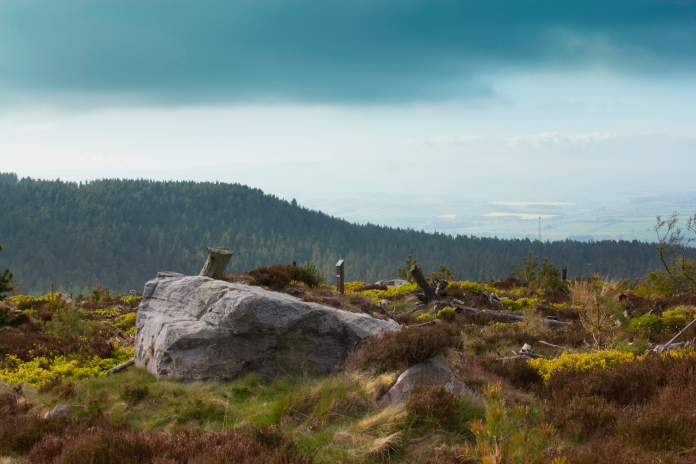
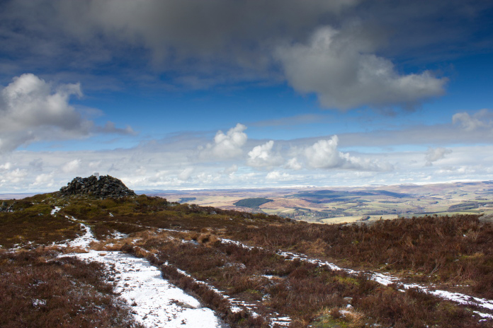
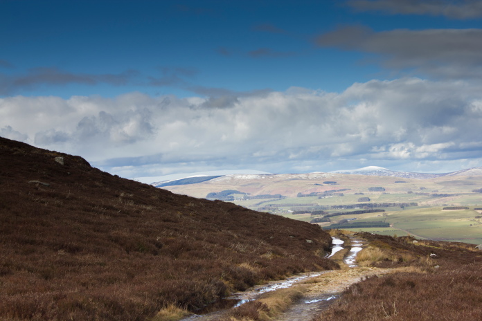
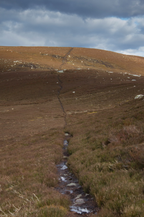
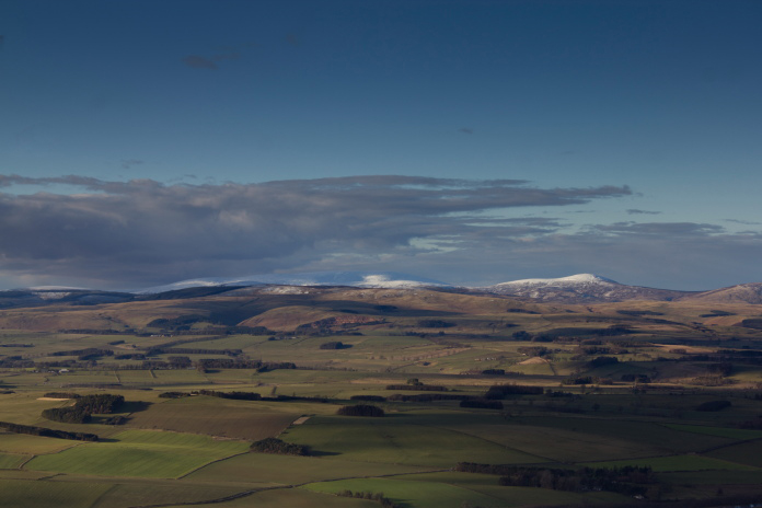
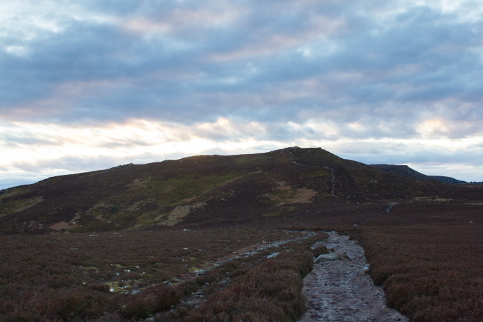
Hawker Sea Hurricane BW855 on Whitefield Hill.
(Distance covered = 12.0 mile/Ascent = +428m)
The Girls now had a regular lift over to the monthly competition in Dumfries leaving me at home to do whetever I wanted, which on this day was visiting some of the less well known crashsites in the Cheviot Hills.
Well to be more geographically accurate the crashsites I was planning on visiting were in the Simonside Hills just south of Rothbury. According to a list of crashsites I have there were four crashes in the hills just south of Rothbury, two Spitfires and two Hurricanes, so another attempt at beating my record of visiting three in one day was on the cards.
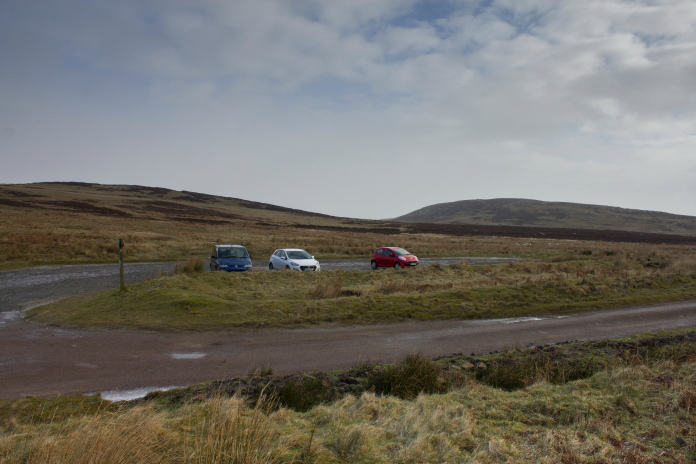
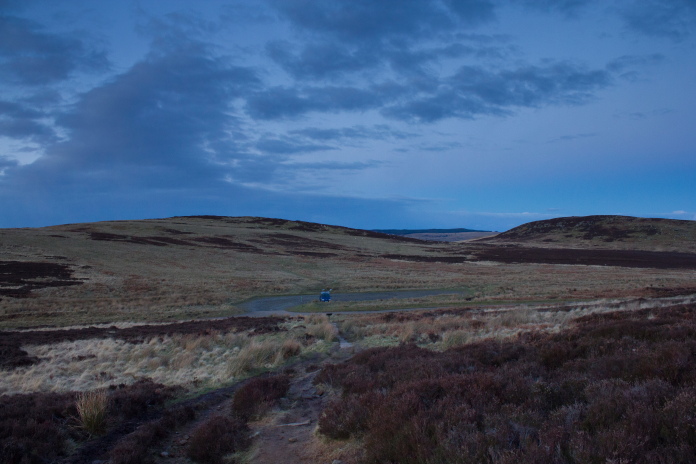
Parked up at the Lordenshaw carpark at 9am
with no time limit to be back!
The four crash sites I would be looking for in the order I would hopefully find them were; Hawker Hurricane V6868, Supermarine Spitfire mkXIV NH700, Hawker Sea Hurricane BW855 and finally Supermarine Spitfire R7202
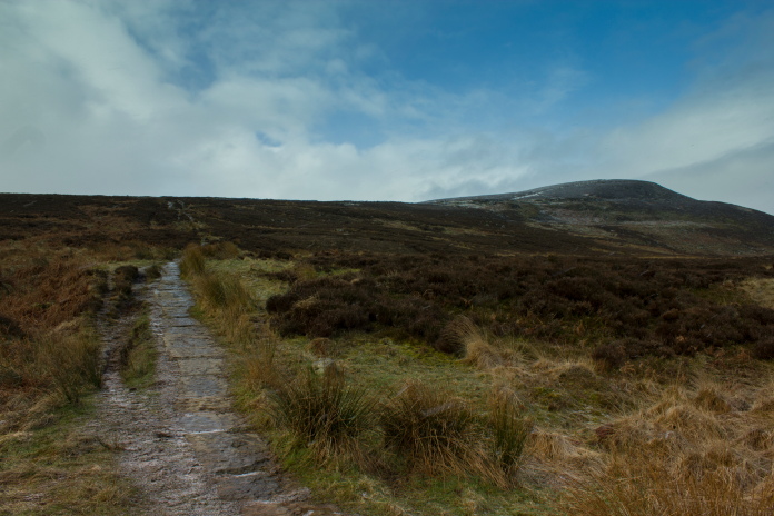
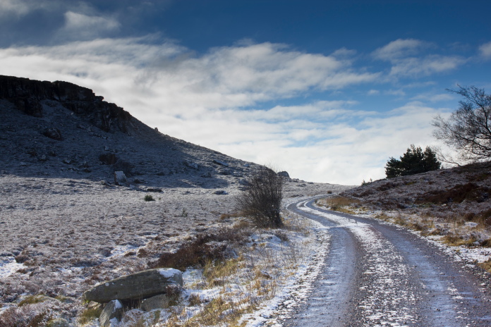
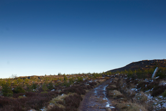
The ice covered paving slabs up onto 'The Beacon' were a bit treacherous to say the least!
The initial steep climb away from the carpark had been laid with large paving slabs to control erosion, this would normally make for very easy going but on this morning rain water had been running over the slabs and it had frozen.
Off the frozen paving slabs the going was a lot safer.
Any idea of beating my record had been scuppered before I even left home, as when I checked in one of my books the night before, I found out that Hurricane V6868 didn't crash at the grid ref I had, but in a field elsewhere in Rothbury and there was nothing at all to be found of it.
 View back down to the carpark from near the top of The Beacon.
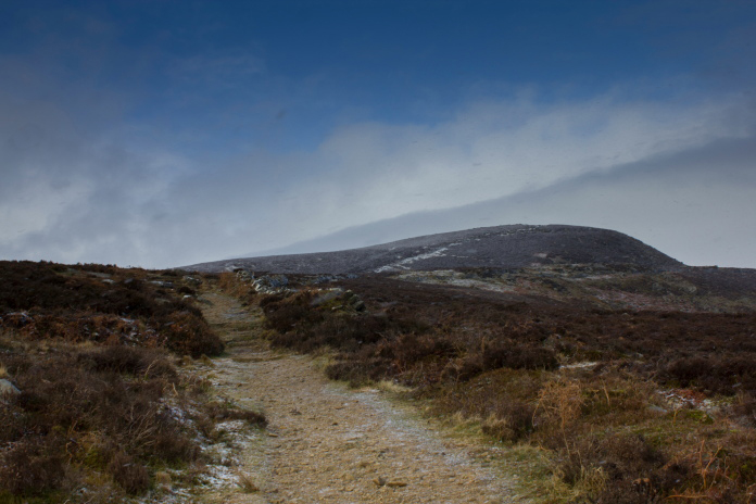
Going over the top of The Beacon it started snowing so I began contemplating just having a look for NH700 and leaving the other two for a later date as they were quite a distance away.
Standing at the area where I had V6868 marked on my map, I didn't bother looking here as I knew it wasn't
in fact where it crashed. NH700 crashed in the area of young trees on the
hillside dead ahead.
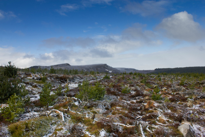
I had a very accurate 10 digit grid ref for NH700 that I was given by a Museum Group who had found parts at the site, I had used this to pinpoint the location on a satellite image so I was reasonably confident I would find the location. My confidence quickly vanished however when I arrived in the area to find it had been recently felled and replanted so any parts that hadn't already been buried or removed would certainly be covered in forestry debris which was itself covered in snow. Despite this I still spent about an hour searching around in case I got lucky. I didn't!*
Above and below:-The area below Dove Crag where Spitfire mkXIV NH700 crashed.
Above and below:-To take the photo above I stood on a large boulder, the same boulder that can be seen in the photo below, taken when I returned a year later*. The marker Post behind the boulder was placed at the crashsite after I visited the first time.
One unexpected bonus of wasting an hour looking for something I was never going to find, was that by the time I gave up the sun had made an appearance and the snow had started to melt. so instead of calling it a day I struck out on the long trek over to the other two crashsites.
 Passing below Simonside Crags.
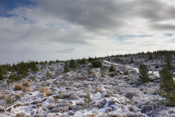
Once past Simonside I had to leave the Landy track and follow a path that went in almost a straight line for two miles over Tosson Hill to Whitefield Hill, the location of the next Hurricane. This would probably be a nice easy going path on any other day, but today I couldn't tell what was path and what was puddle and as my weight was now too much for the melting ice, if it was a puddle my foot was going straight through the ice into it.
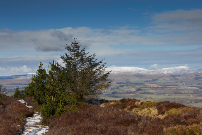
Snow covered Cheviot to the right of the tree.
The snow on the path made it difficult to spot the puddles some of which were deep, I
began avoiding any suspiciously smooth looking areas of snow.
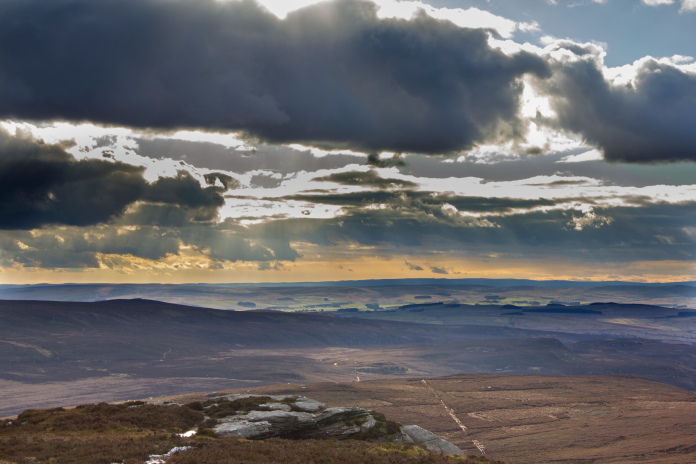
I sat for quite a while at the trig point on Tosson Hill, ate one of the Ploughman's Scotch Eggs I'd brought for my bait and admired the views to the north, up the Coquet Valley and across to the snow covered Cheviots. I could also hear a lot of thunder which I figured must be the Army letting off their big guns up on the Otterburn Ranges.
 Approaching the summit of Tosson Hill,or Scotch Egg Hill as I have rechristened it.
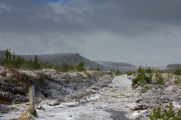
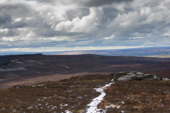
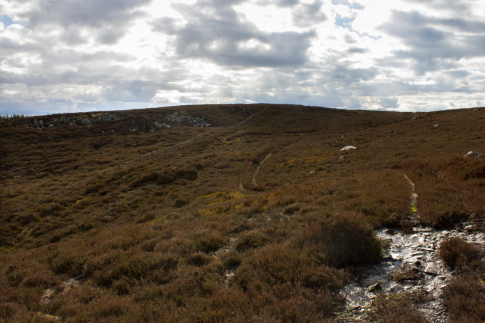
From Scotch Egg Hill I could see the path making a beeline over to the Shooting Hut on Whitefield Hill.
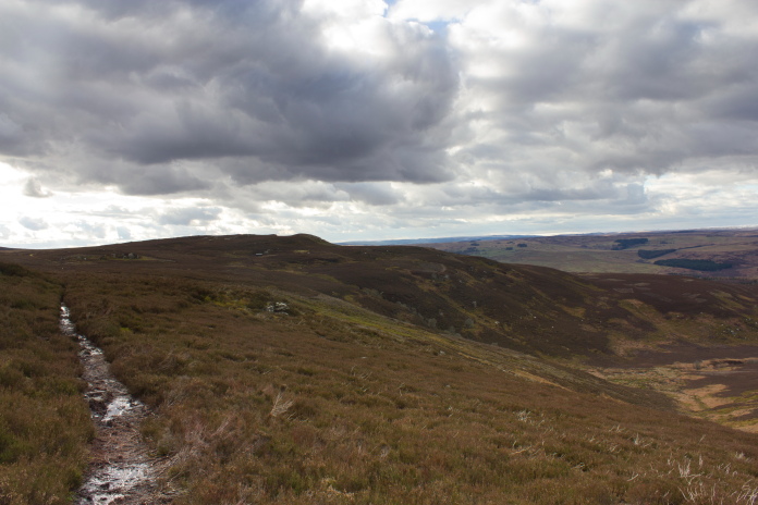
Above and below:-Path
from Tosson Hill over to Whitefield Hill,
the other Spitfire crashed on
the ridge to the right of the forest.
 Approaching
Whitefield Hill.
Approaching
Whitefield Hill.
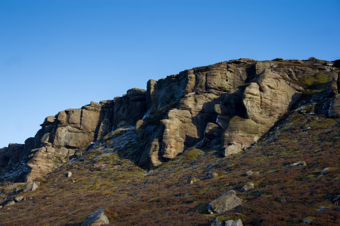
The Sea Hurricane crashed into a small crag not too far from the Shooting Hut, there's only a few tiny scraps left and they would have been very difficult to find in amongst the rocks, but again I had a 10 digit grid ref which I'd used to find the location on google earth.
On the track above the Sheiling, the crashsite is
not far up the hill to the left.
I'd printed off the image and I actually stood on the top of the hill and worked out the exact spot by comparing the shapes of each rock outcrop with the ones on the google earth image.
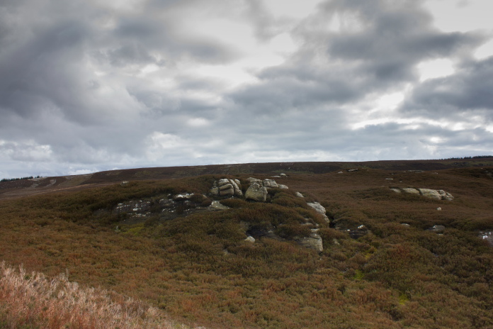
The rock outcrop where the wreckage lies, amazing to think I located it using a photo taken from space!
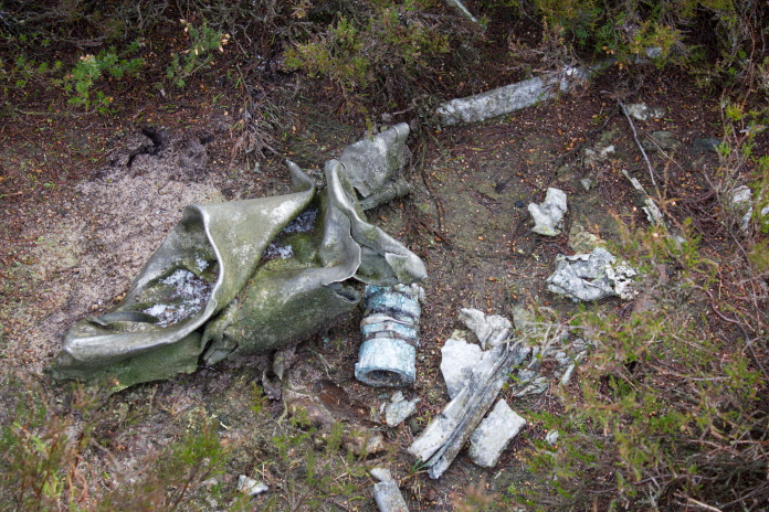
Above and below:-Small pices of BW855, not much but at least I found something.
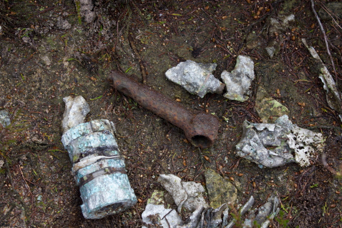
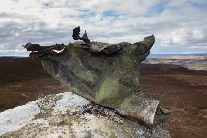
Above and below:-I might be wrong but I think this piece was a slightly crushed and battered exhaust stub.
From the Hurricane site it wasn't too far to Darden Rig, where the other Spitfire crashed. Unfortunately I only had a six figure grid reference for this one which mean't a 10,000 square metre search area, all of which was covered in deep heather. As there is reportadly only small pieces left here as well I think I probably would have stood more chance of finding something if I'd had a metal detector; which I didn't, so another one for the fail list!*
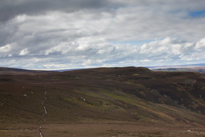
Darden Rig and the crashsite of Spitfire R7202.
On a returen trip I eventually found wreckage beside a large boulder just
off shot to the right.
I must have spent well over an hour here as well searching around in the heather, the pieces of Spitfire must have been very well concealed or had been removed. I don't seem to have much luck in finding Spitfire crashsites!
Start of the two mile trudge back across
Scotch Egg Hill.
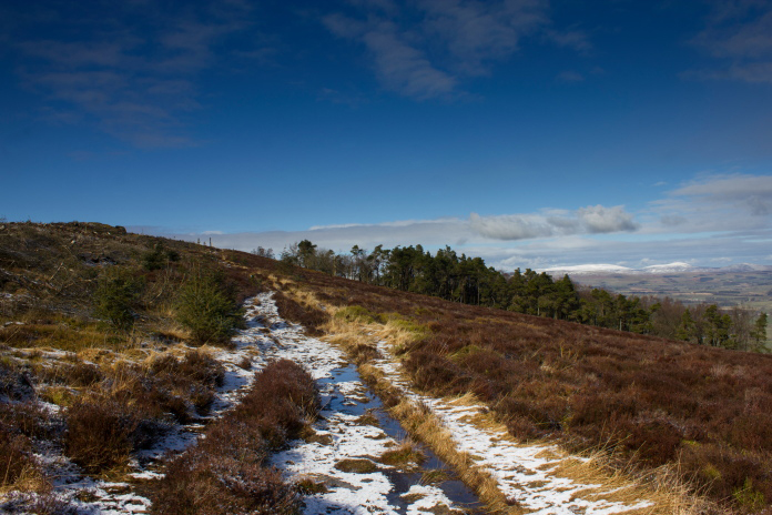
At least it was a nice straight path and the snow had now melted so I could see what was puddles.
Climbing past the crags onto the summit of
Scotch Egg Hill.
I had another long break at the Trig Pillar on Scotch Egg Hill, enjoyed my second Ploughman's Scotch Egg and my second look at the spectacular views. The Army were still making a racket up at Otterburn, they'd been at it all day so must have expended quite a few pounds worth of artillery shells.
In the absence of any waterfalls I have to find other subjects for my creative photography.
Sadly the subject of the photo did not make it home!
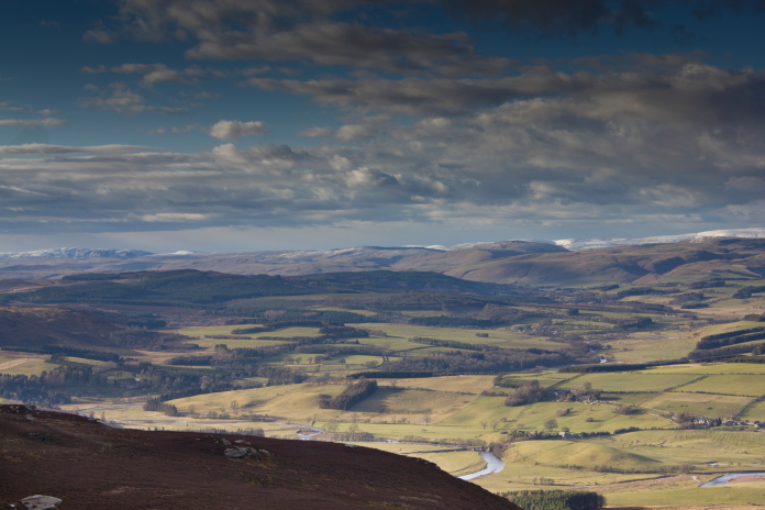
Above and below:-Views up the Coquet Valley and across to the Cheviots
When I reached the bottom of Simonside Crags on the way back I pondered whether to return the way I'd come, along the relatively flat Landrover track which ran along the base of the Simonside Ridge, or go up and back along the top, after changing my mind about fifteen times I eventually took the easy option .
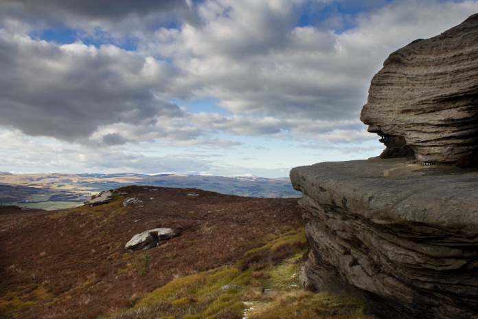
The crags below Simonside.
Above and below:-Passing the area where NH700 crashed , on the way back to the car.
Passing the area where V6868 didn't crash,
on the way back to the car
By the time I arrived back at the Lordenshaw carpark it was after 6.00pm and the temperatures had returned to what they were when I'd arrived in the morning. I had a little trouble removing my Hiking Boots as the laces had frozen rock solid.
Luckily the paving slabs must have thawed and dryed out during the day as they were no longer coated in ice.
*-I have since been back to the Simonside Hills and found pieces of NH700 and R7202.