AKOS
C47 42-93038 in Cairngarroch Bay.
(Distance covered =
2.0 mile/Ascent =+171m)
Heather was competing in a competition over in Stranraer, but she didn't need to be there until 12:30 which meant not much time for me to go up the hills wreckhunting, so instead I went to the beach.
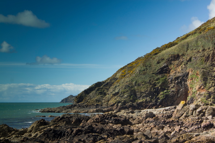
Only 9 miles down the road from Stranraer is Cairngarroch Bay, this is where an American C47 crashed into the cliffs in 1944, so an ideal site to visit to fill in my limited time.
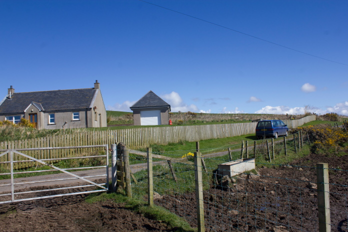
Parked up beside Heather Cottage above the bay.
The biggest navigational challenge today was not going to be finding the crashsite but finding the right country lane to park on. There was single track country lanes going off in all directions and my satnav had taken me down two dead ends already before it tried to take me through a muddy cow's field. In the end I had to do it the old fashioned way by following my road atlas, which itself wasn't too much help as not all the small lanes were marked on it.
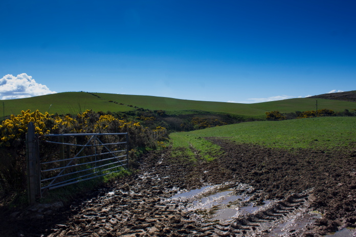
The first 100 yards through another muddy cow's field,
this time with no help from the satnav.
When I eventually found the right lane I then couldn't find anywhere to park that wouldn't restrict any of the farm access's but a friendly farmer passing in his tractor stopped and told me I could park on the grass lawn in front of a cottage which was right opposite the start of the track down to the bay.
Safely through the cow's field.
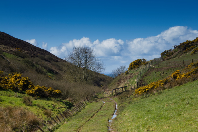
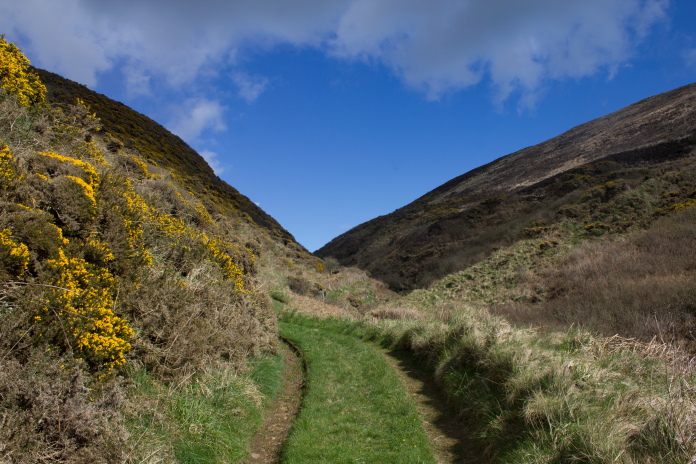
It seems whenever I got to look for the crashsite of a C47 I encounter cows*, in this instance however they were too busy munching on the grass and took no notice of me as I walked through their field. Once through the field there was a beautiful daffodil lined grassy lane leading right down to the bay.
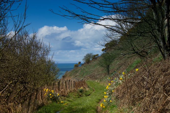
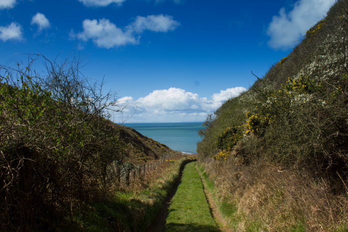
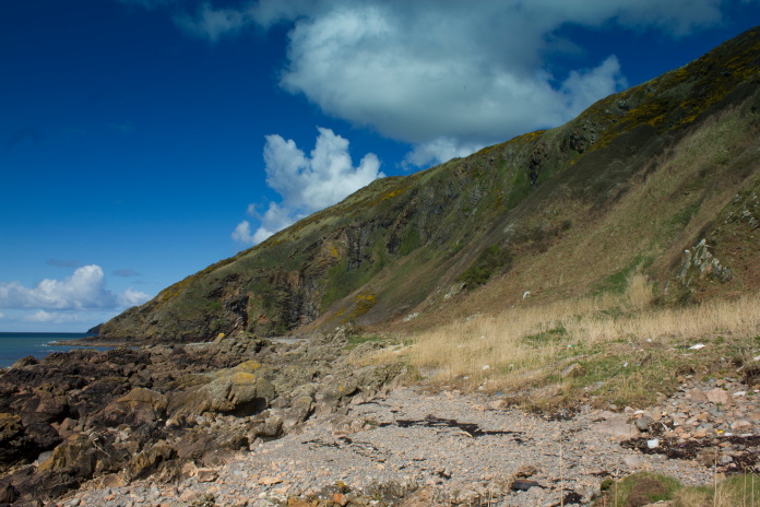
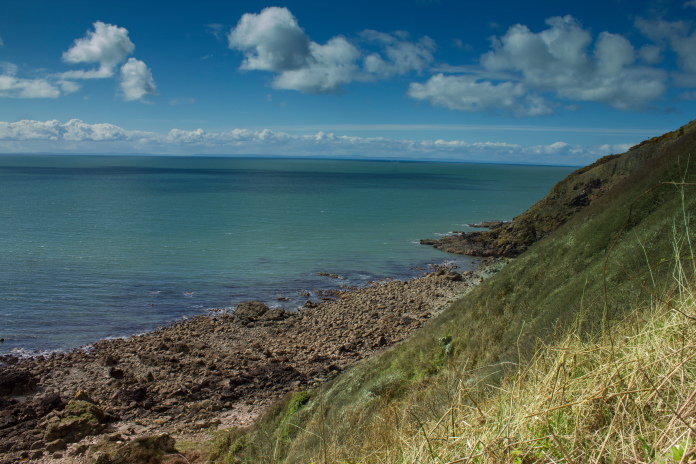
Above and below:-The walk down this lane was lovely, Northern Ireland can be seen in the distance.
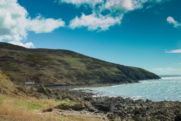
At the bottom of the lane about a mile from the road and at the southern end of the bay is a small Holiday Cottage and a caravan. The caravan looked a bit weather beaten and I wondered how it had not been swept away in a high tide.
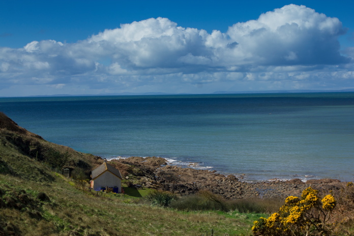
Imagine sitting beside the fire in this cottage with a hot drink(or an
alcoholic drink)
on a cold dark night watching through the windows as the sea crashed against the rocks during a storm.
Cairngarroch Bay would be an ideal place to visit if you enjoy beachcombing as the whole area was littered with flotsam and jetsam or as I would call it "all kinds of shit!" including about 20 trainers (all left foot unfortunately), hundreds of fish crates, thousands of plastic bottles(which all seemed to be in one specific area) a wheelie bin(with no wheels), quite a few car wheels and plastic wheels from kids toys and about four footballs. There was also a doll with no eyes that someone had made as creepy as possible by posing it in one of the gaps through the rock outcrops.
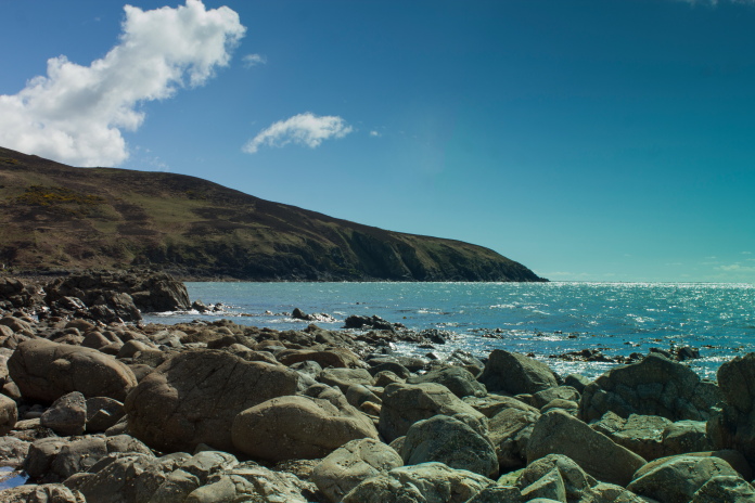
I'd read a couple of reports on the interweb about how difficult it was to access the northern end of the bay due to large rocky outcrops and that it could only be reached during low tide. I found these reports to be very innaccurate as you can easily walk through the gaps between the rocks or go a few feet inland and walk along some grass.
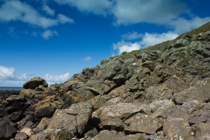
Although this looks impassable there was gaps to walk through.
Almost at the scene of the crash.
I've mentioned a few times about how I wouldn't have seen some of the spectacular views I've experienced if it wasn't for going to look for a crashsite. Another reason for visiting these crashsites is to help in a small way to raise awareness of these events some of which are all but forgotten about.
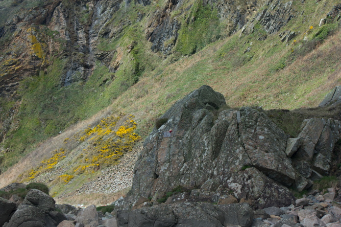
A memorial plaque is fixed to the small rockface just to the right of centre.
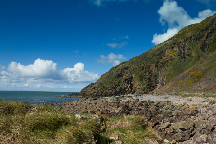
Everyone knows about the plane crash in Lockerbie but how many people know that prior to that the worst air disaster in Scotland's history happened in Cairngarroch Bay. Two Douglas C47 loaded with injured Soldiers from the D-Day landings were flying up to Scotland but were diverted to West Freugh Airfield near Stranraer due to fog. One clipped the top of the cliffs leaving two gouges in the soil, but continued to land safely at West Freugh, the other flying a few feet lower wasn't so lucky.
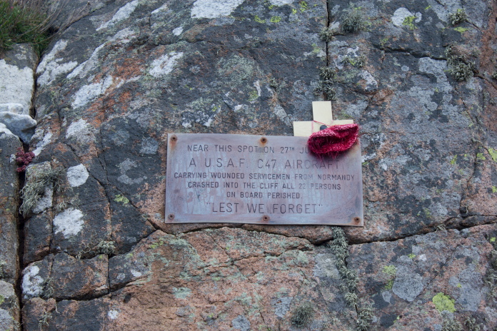
A memorial plaque fixed to a rockface below where the C47 hit the cliffs.
A piece of the C47 cemented to the rockface to prevent the sea or souvenir hunters having it away!.
Smaller pieces of metal have been placed on the rock by visitors,
someone had placed a rusty car wheel at the base probably thinking it was
one of the C47's wheel.
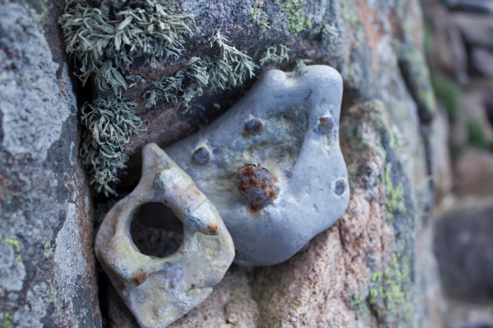
These fragments must have spent some time in
the water as they have been smoothed off and resembled pebbles
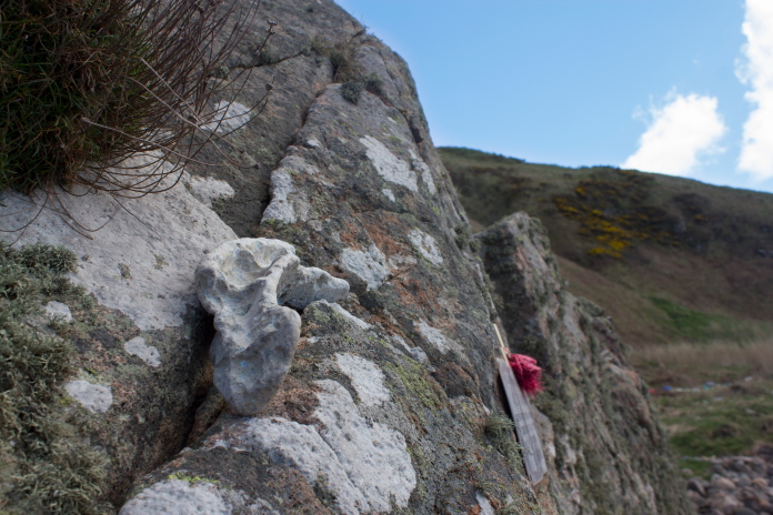
Another fragment of engine casing placed high up on the rock.
I didn't know exactly where the C47 had hit the cliff but I knew it was only 20ft from the top, so as I had plenty of time and plenty of energy I set off up the steep incline to have a look if there was anything up there.
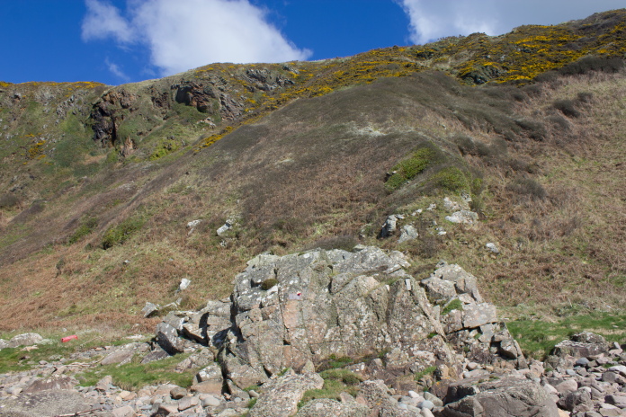
The rockface where the plaque is attached, the C47 hit somewhere behind this about 20ft from the top.
The steepness of the terrain didn't pose me any problems ,even though it was very steep, but as I was wearing shorts the brambles were having a bit of a laugh with my ankles and had even succeeded in drawing blood.
On my way up the cliff, this photo does a good job of showing how steep it was.
The steep incline and a mauling from the brambles didn't deter me and I continued upwards checking for any pieces of the C47 as I went but there was nothing. About 40 feet from the top I was finally defeated by some fierce looking thorny bushes that wouldn't have looked out of place surrounding Sleeping Beauties Castle. Even if I battled through those (which would have involved severe loss of blood), the area immediately above them was covered in gorse, which was also a bit prickly so I decided my chances of finding any bits of the C47 up there were as slim as my chances of finding Sleeping Beauty!
At least being 3/4's of the way up the cliff offered some nice views.
Back down onto the beach I figured I'd use up some more time by going along to check out the 'Red Cave'.
above and below:-Approaching the Red Cave.
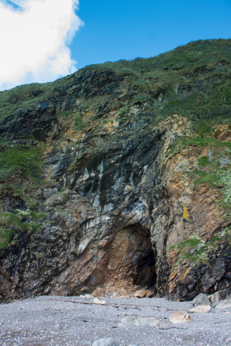
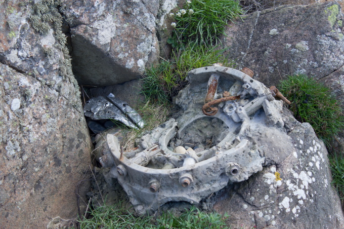
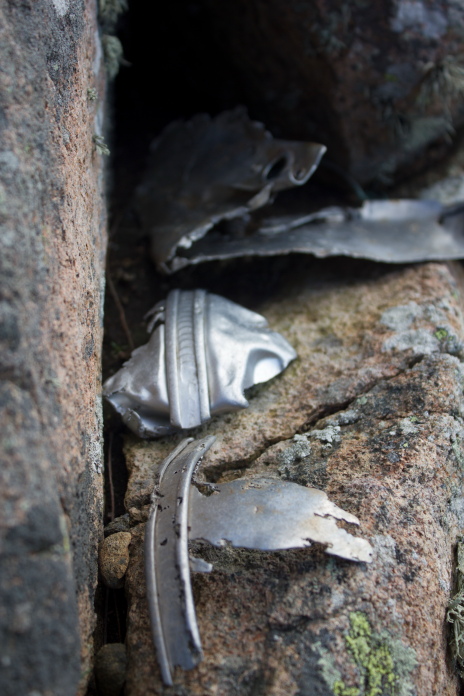
The Red Cave wasn't much of a cave as it only went in about 30 feet but it did look impressive from the outside. The inside of the cave was chokka with F+J or AKOS including something that looked like a lump of aircraft alloy but was shaped suspiciously like the rear diff from a car.
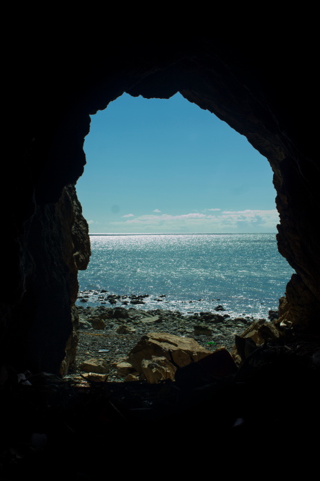
Views from inside the Red Cave looking out.
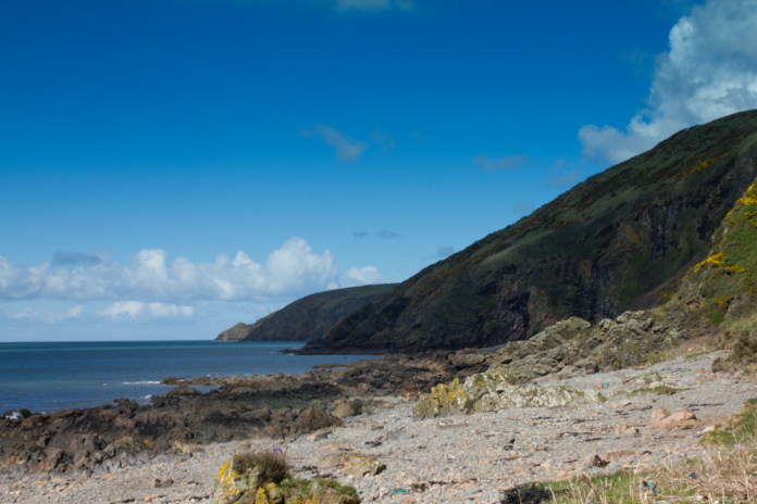
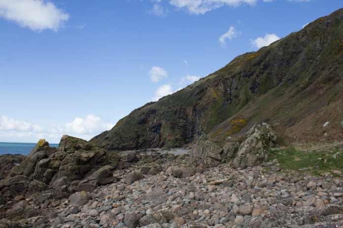
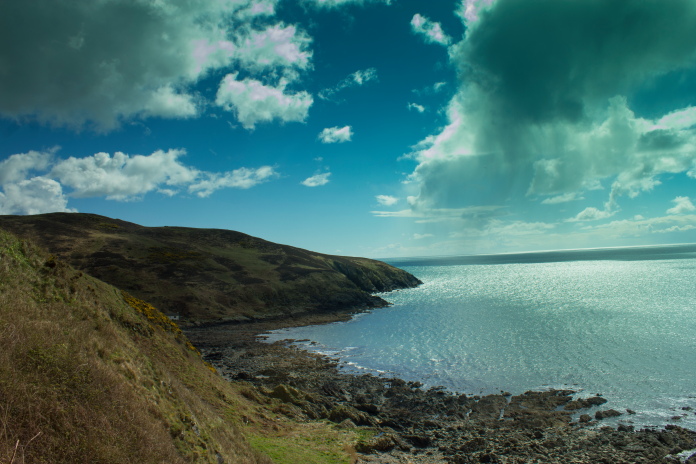
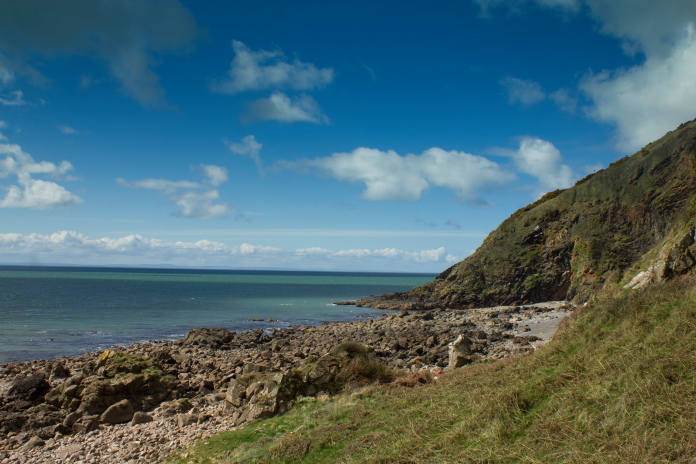
View south from the Red Cave end of the bay, the memorial rock being to the left of the
prominent rock middle distance.
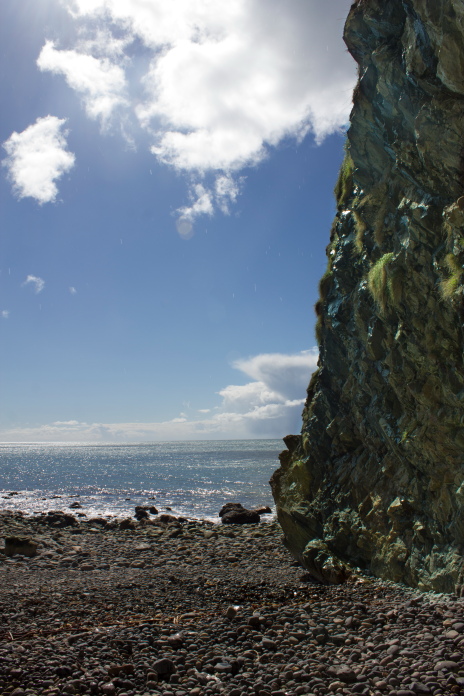
These boulders were like a naff version of the Giants Causeway.
One last shot of the memorial before I leave.
above and below:-Walking back along the grass to avoid the creepy doll!
I'd spotted a park bench on the way down in a little grassy layby beside the grassy track, so I headed for that to sit in the sun for a while and have me bait.
Back up the grassy lane.
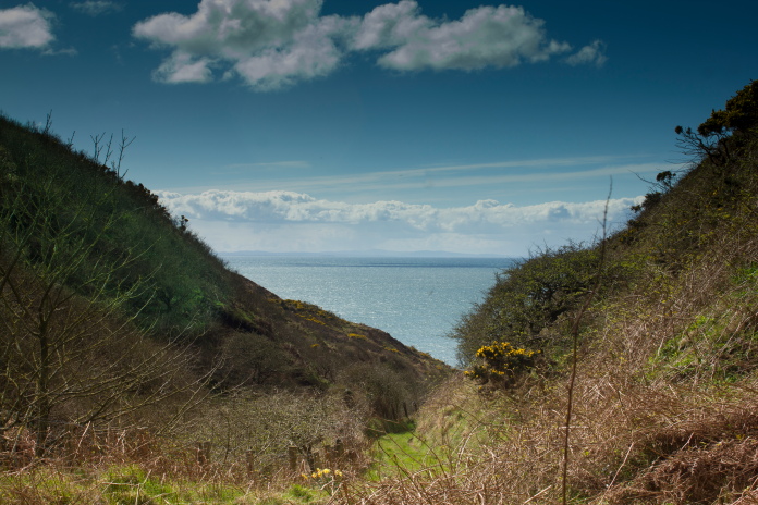
Nice view across to Northern Ireland from the park bench.
I did contemplate going back along the top of the cliff to have a look for the impact point from above but that would of meant a 'close encounter of the bovine kind', as well as crossing three very muddy fields with their associated barbed wire fences and passing very close to a large and busy farm.