
The Magnificent seven.
Douglas C-47 42-108982 and
Avro
Lancaster KB993 on Jame's Thorn,
Boeing B-29 44-61999 on Shelf
Moor,
Boulton Paul Defiant N3378 and
Blackburn Botha W5103 on Bleaklow,
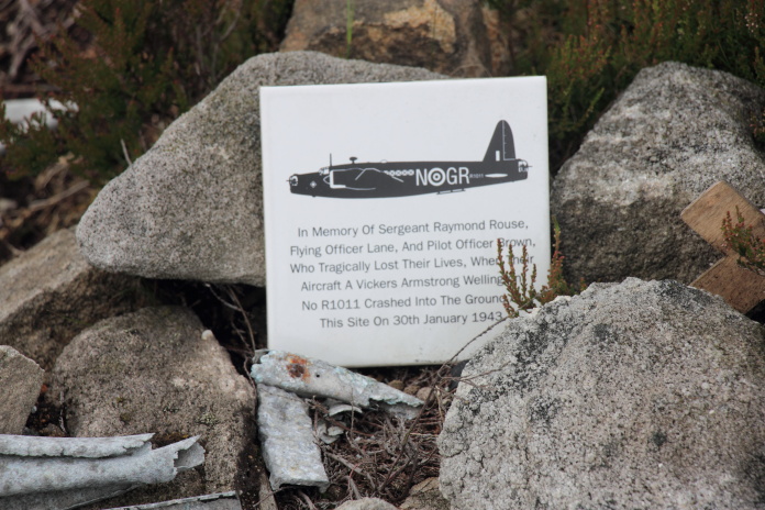
Vickers
Wellington R1011 on Birchen Bank Moss
and
Bristol Blenheim L1476 on
Sykes Moor.
(Distance covered = 14.0 mile/Ascent =+818m)
Heather was off to dance in a Tattoo on the Isle of Wight, I'd dropped her at Huddersfield to catch a lift the rest of way with another dancer, then took the opportunity to spend a couple of days walking in the Peak District.
I'd completed my 'dad's taxi duties the day before then completed a shorter walk to 5 crashsites on Tintwhistle Knarr*; today I was going to tackle a much longer walk as I was able to set off as early as I wanted and I had until 8pm, when I was due to pick Heather up again from Huddersfield.
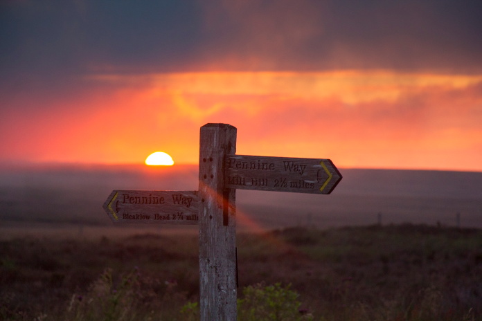
above and below:-Nice early start, even up before the sun!
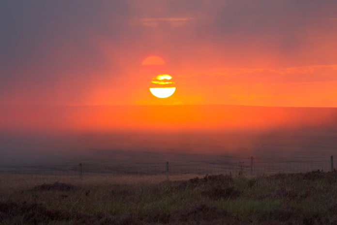
As I'd set off so early I was able to witness a rather spectacular sunrise which was reminiscent of a scene from The Lion King and gave me hope that the weather was going to be co-operative. As it turned out this was to be the only time I saw the sun until later in the afternoon as it promptly disappeared again behind a cloud.
The Pennine Way.
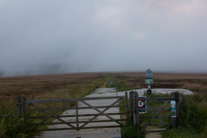
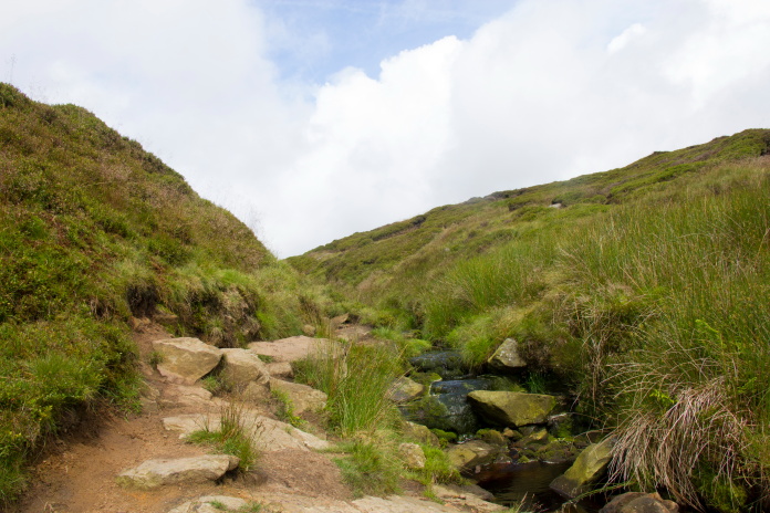
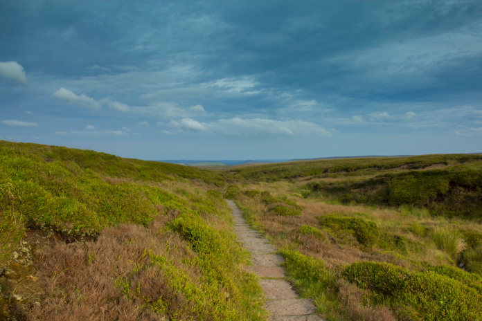
I started off walking along the Pennine Way, but not for long as I needed to follow another path called 'The Doctor's Gate path' which crossed the Pennine Way then headed off to the north west and passed below the bottom of Ashton Clough.
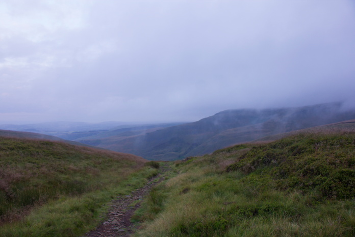
Above and below:-On the Doctor's Gate path.
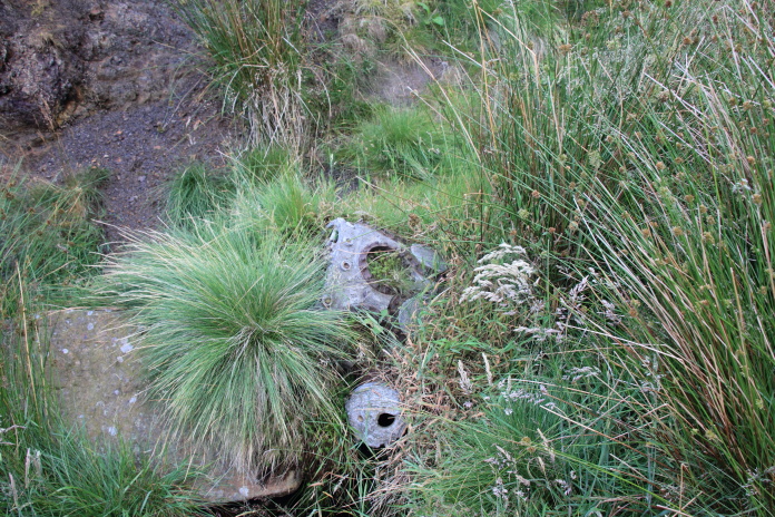
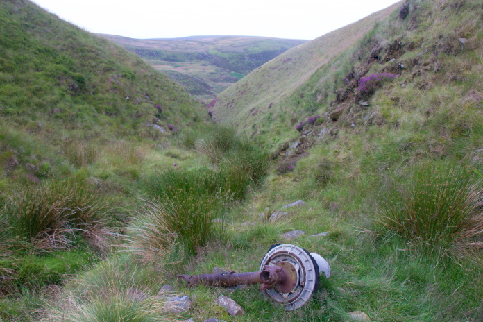
Scattered up Ashton Clough are some sizeable chunks of an American C-47 transport aircraft, including an engine, a large section of wing and some undercarriage parts. There used to be some of it's cargo here as well in the form of an Army Jeep but that has disappeared over the years.
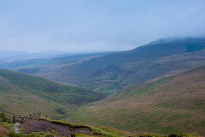
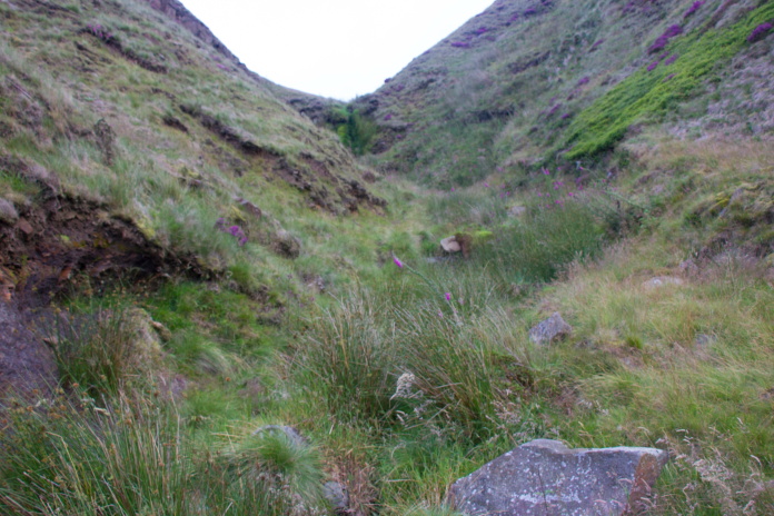
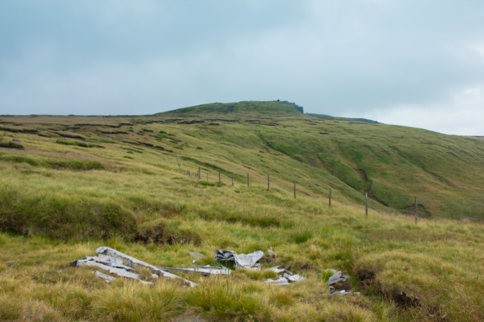
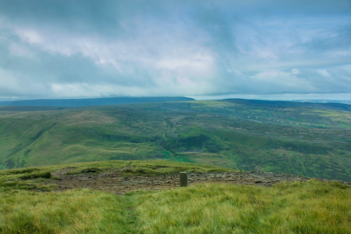
Jame's
Thorn, Ashton Clough is the gully running diagonally to the right from
just below the centre of the photo.
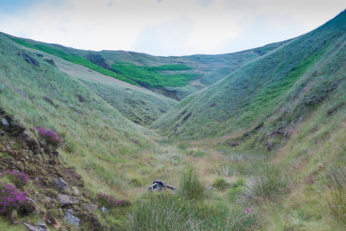
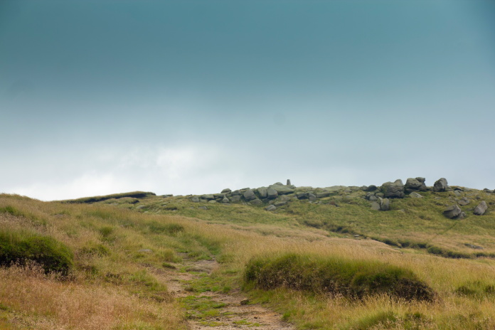
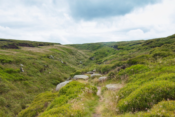
My plan was to reach the C-47 crashsite; which is near the top of a hill called Jame's Thorn, by walking up Ashton Cleugh. It looked quite steep and impassable from below but I knew that countless other people had taken that route and bits of wreckage were to be found in there so it had to be done!.
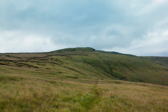
At the base of Ashton Cleugh. It looked quite steep and daunting from here!
The first bit to be found, not far from the
Doctor's gate path.
Indeed it proved to be very easy to walk up the bottom of the gully as the countless boots before me had worn a path for most of it's length and there were dangling carrots in the form of pieces of C-47 that took my mind off what would have been a bit of an uphill slog.
Above and below:-Another piece quite low down in the gully was one of the engines which is now almost buried.
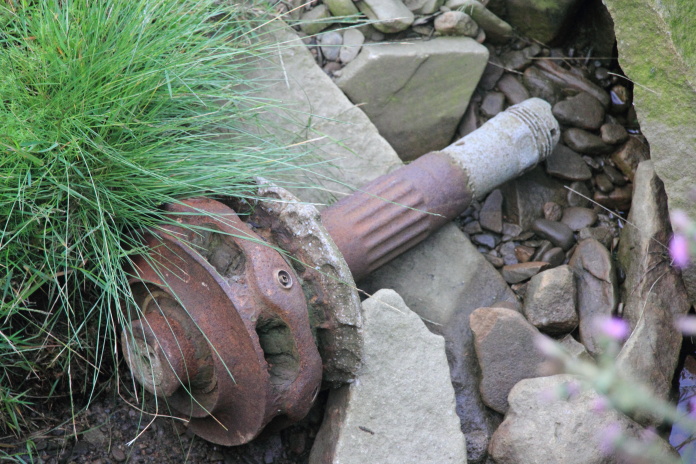
Part of a reduction gear lying at the base of a waterfall.
above and below:-One of the main undercarriage legs.
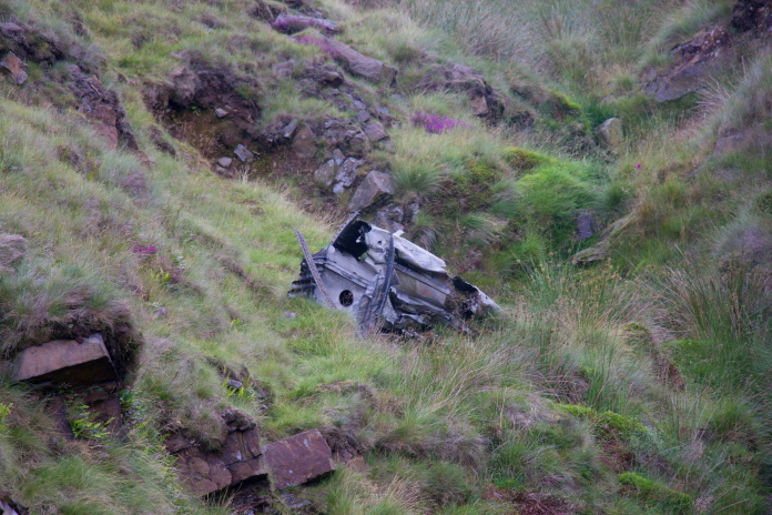
Above and below:-The leading edge of a partially buried wing section.
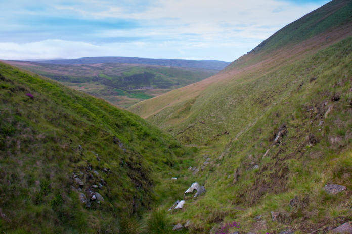
The trail of wreckage in the gully had either rolled or been pushed down there, most likely by the recovery crew at the time of the crash, the actual crashsite is much further up the hill. After passing a large lump of partially buried wing in Ashton Cleugh it was time to exit the gully and head straight up the quite steep slope on the left, passing another section of undercarriage on the way.
Exiting Ashton Cleugh.
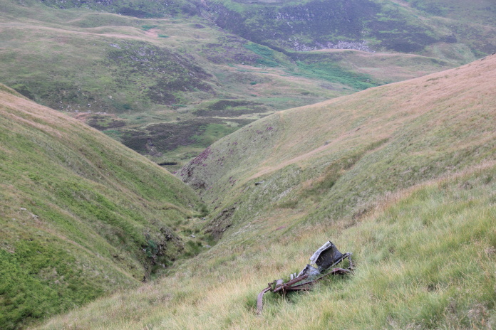
Unfortunately after passing the section of undercarriage above Ashton Cleugh there were no further 'dangling carrots' until the main crashsite was reached, so it was a bit of a blood pumping haul straight up the hill.
Main crashsite near the top of Jame's Thorn. The beginnings of Ashton Cleugh in the background with
Lower Shelf Stones beyond that in the distance.
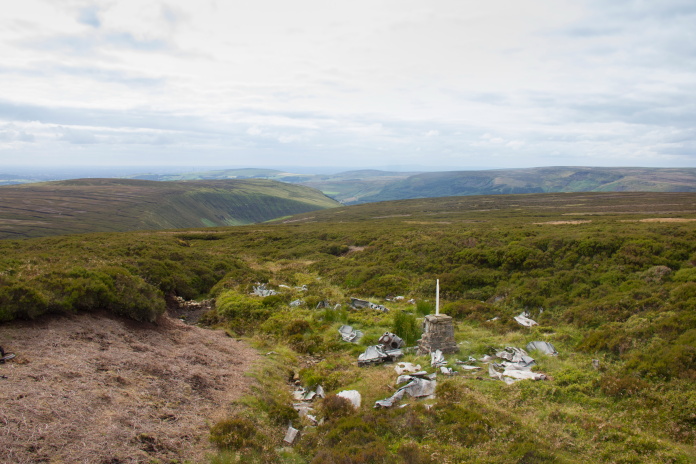
From the C-47 it was not far at all to reach the crashsite of an Avro Lancaster that also crashed on Jame's Thorn, and it was pretty easy to find as I just had to follow a path that has been worn between the two sites.
 On the path up to the Lancaster site
looking
back down to the C47 site which is beside the fence.
On the path up to the Lancaster site
looking
back down to the C47 site which is beside the fence.
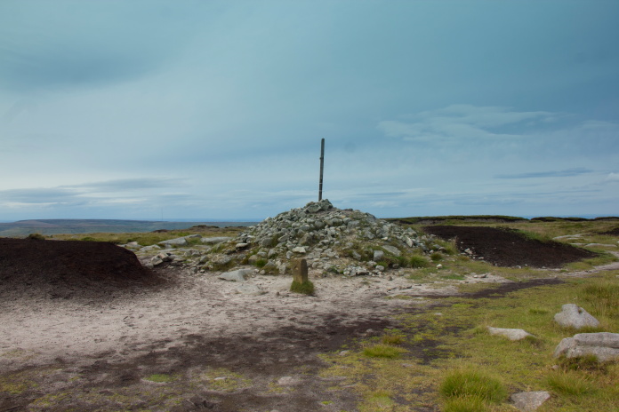
Approaching the Lancaster site. I at first thought the memorial was a trig point on the top of Jame's Thorn.
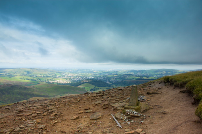
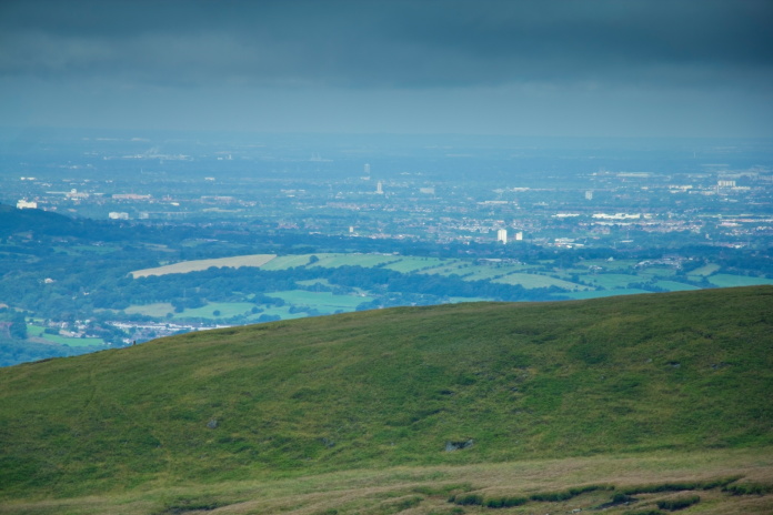
Above and below:-Magnificent views of the Manchester conurbations and Kinder Scout from the crashsite of Lancaster KB993.
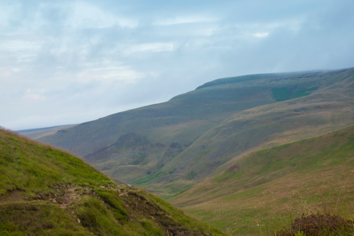
Once I was on the top of Jame's Thorn I didn't have many contour lines to cross to reach the remaining 5 crashsites on my 'to do' list for the day; and the next one on the itinerary was not all that far of a walk to reach either.
Heading off to crashsite no3. The rocks
visible on the skyline is Lower Shelf Stones.
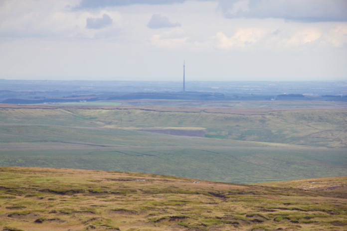
Canny view back over to Jame's Thorn
with Manchester in the distance.
The Lancaster memorial can just be made out on the ridge near the left hand side of the photo.
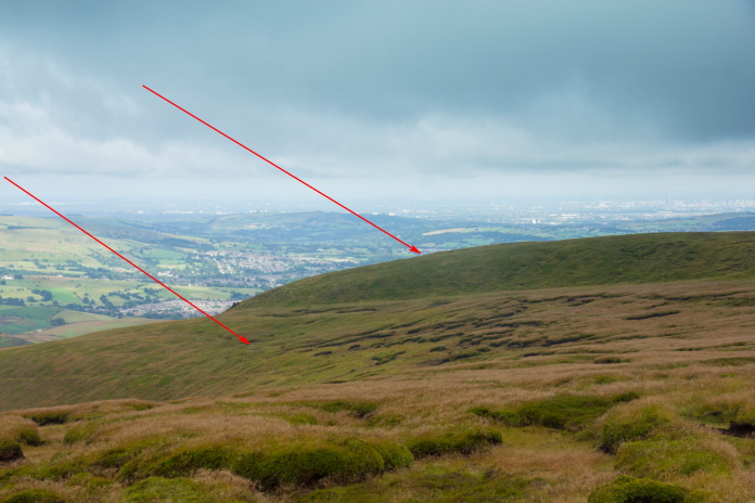
View from Lower Shelf Stones back over to Jame's Thorn. The left arrow is pointing to the C47 crashsite and the other the Lancaster.
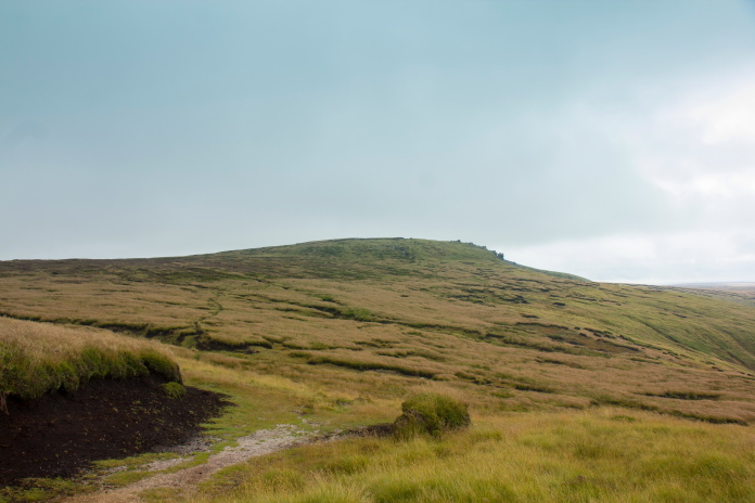
Approaching the trig point on the top of Higher Shelf Stones.
I used to think the Fairy Firefly wreckage on the top of Meikle Bin in the Campsie Fells near Glasgow must be the most visited in the country; but I would say the B29 on Higher Shelf Stones beats it hands down. The short time I was there taking photos there must have been over 30 other people who had also passed by to have a look, including a one legged fell runner who arrived well before the other 10 or so in his running group who had two legs.
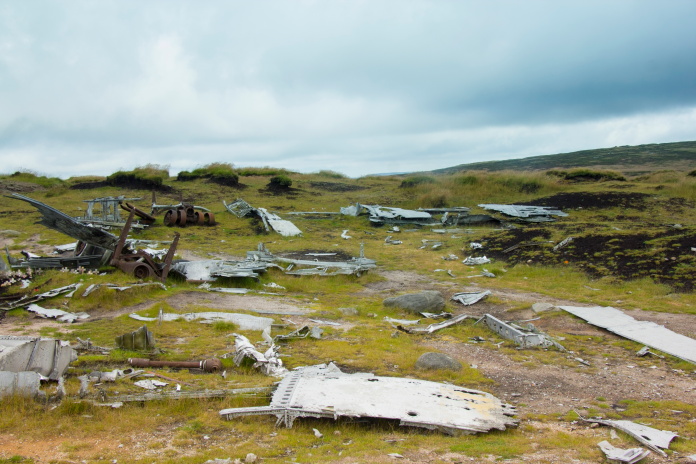
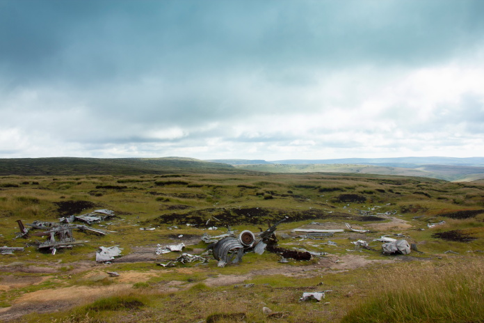
above and below:-B29 crashsite on Higher Shelf Stones.
If you're planning on visiting crashsites in the Peak District there's a very handy website called 'peakwreckhunters' that provides 10 digit grid refs for all the sites. As well as the main area of wreckage at this B29 the 'peakwreckhunters' site also listed grid refs for a couple of sizeable pieces several hundred metres away down the hill. I went and had a look for these as well but didn't manage to find them. Perhaps they were failed 'recovery' attempts and someone had been back and completed the theft, sorry 'recovery'! Or less likely someone had returned them to the crashsite?
View back over to Higher Shelf from near the
Peninne Way.
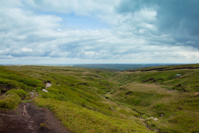
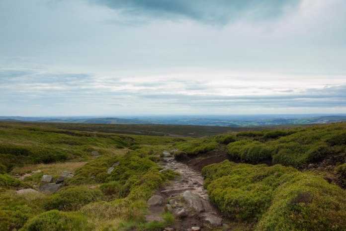
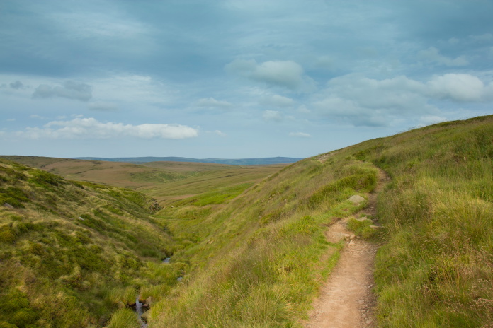
After the B29 my next objective was Defiant N3378 on Bleaklow, so I regained the Pennine Way somewhere in the vicinity of Hern Clough and struck off north towards Bleaklow Head. This one was a little farther to walk as it was about 2.5 mile from where I was, but there weren't many contour lines to contend with and I was really enjoying what was turning out to be a cracking walk.
On the Pennine Way, I became stuck behind a large group of walkers on this section so stopped to have some refreshments until they'd gone.
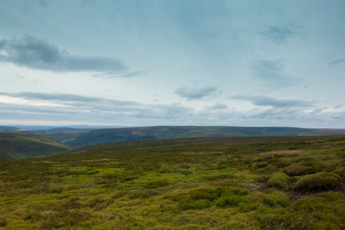
Bleaklow Head.
Finding the Defiant site could be tricky in poor weather, in fact on a clear day there were few features to aid navigation, so to make my life simple I followed a path that ran alongside 'Near Black Clough' until I was due west of where the crashsite was marked on my map, then headed due east.
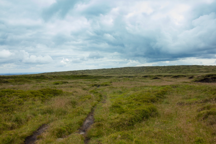
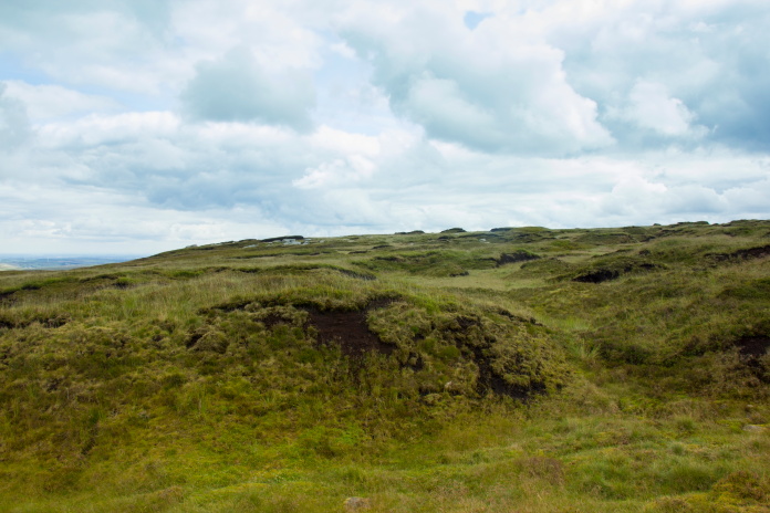
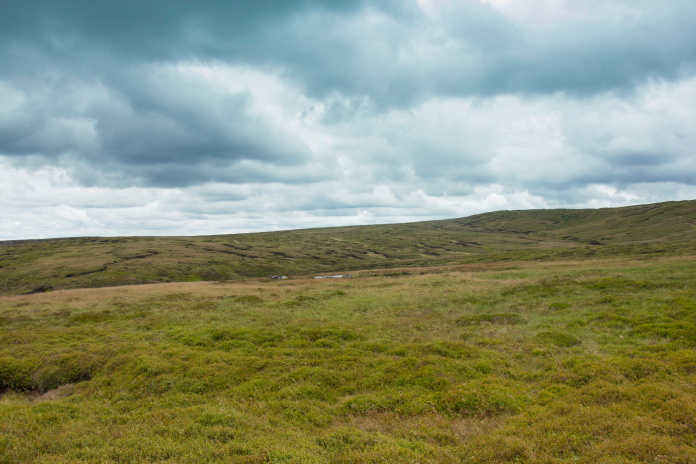
Featureless moorland on Bleaklow.
The path running alongside Near Black Clough.
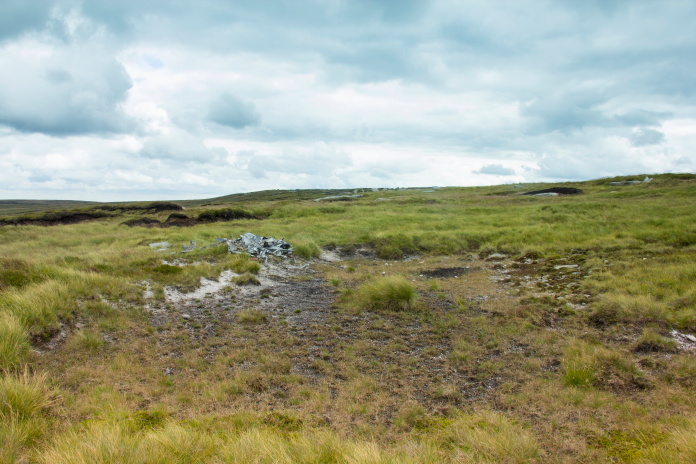
Deep peat groughs near 'Near Bleaklow
Stones'.
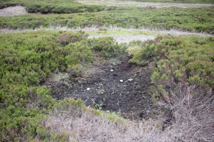
There used to be some large pieces of Defiant on Bleaklow including an intact tail section; but, like most of the crashsites in the Peak District(at least the ones I have been too anyways) it has been stripped of almost anything interesting or identifiable and what is left tidied into a neat little pile.
Defiant crashsite.
From the Defiant site on Near Bleaklow Stones it was possible to see some sizeable chunks of another wreck which was only half a km away on an area called Bleaklow Meadows. Before setting off over there I checked out a couple of other grid refs I had acquired from Peakwreckhunters where I found some smaller collections of Defiant wreckage.
Botha wreckage taken from the Defiant crashsite
with a zoom lens.
Who can guess how I kept on track towards that one?
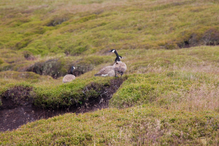 Some wildlife passed on the way to the Botha. These geese seemed to prefer walking to flying!
Arriving at the Botha crashsite.
I used to often miss photo opportunities of aircraft flying overhead because I had two lenses; an 18-55mm wide angle for scenery and a 75-250mm zoom; by the time I'd changed the lens the aircraft in question would have been long gone; a good example of this was a Eurofighter Typhoon that growled right over our heads while we were cycling in to a Sea Vampire wreck on Ben Klibreck in Scotland**. I now have an 18-135 lens which; although not as powerful as my other zoom, negates the requirement to keep changing lenses.
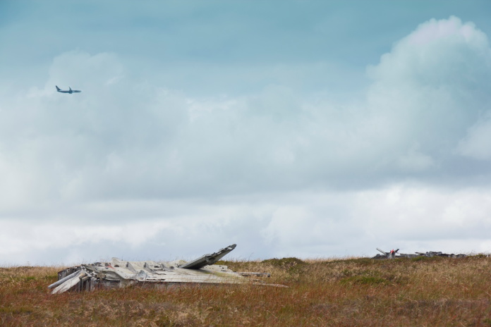
Ryanair 737 flying over Botha wreckage.
Before my trip to the Peak District, while planning my route, I was
constantly changing my mind on whether to include the Wellington on
Birchen Bank Moss or the Blenheim on Sykes Moor, both of them, either of
them, or none of them!
In the end I left the decision until I reached the
Botha, then I could take into consideration the weather, how tired I was
and how late in the day it was.
 Leaving the Botha and heading for the Wellington.
I took a compass bearing from the Botha site that took me to the Wellington site on Birchen Bank Moss as the crow flies. In hindsight this was not a good idea as it meant crossing back over Near Black Clough and as I was quite a way farther down the hill now, it was quite steep and quite deep.
About to cross Near Black Clough, the photo
does not do justice to how steep the sides were here.
The other side of Near Black Clough was more featureless moor interspersed with peat groughs, so I continued on my compass bearing and began counting steps. If I take moderate strides, every time my left foot hits the ground I have covered approximately one metre, so I needed to take 600 strides from Near Black Clough to put me in the vicinity of the Wellington wreckage.
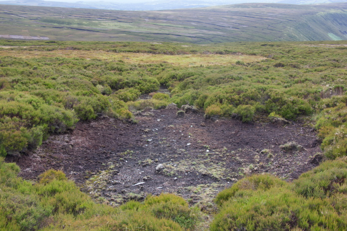
Where I ended up after 600 strides; not too
bad considering I was going up and down while crossing peat groughs!
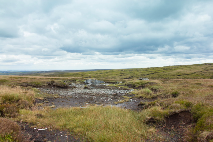
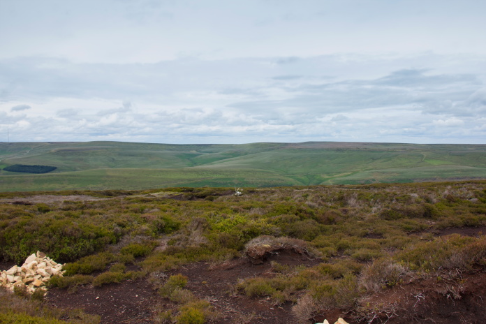
That's wellington wreckage at the centre of the photo.
From the Wellington it was another 2.5 mile to the next crashsite, but as it was now sort of on the way back to the car I decided to go for that one as well. Instead of going straight across back to the Near Black Clough path which would involve crossing all the peat groughs again I walked straight up one and rejoined the path a lot higher up the hill.
Off up a peat grough, it was quite easy going as it was a dry day.
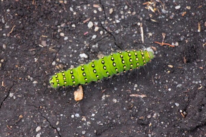
Random bit of wildlife photography.
Back on the path.
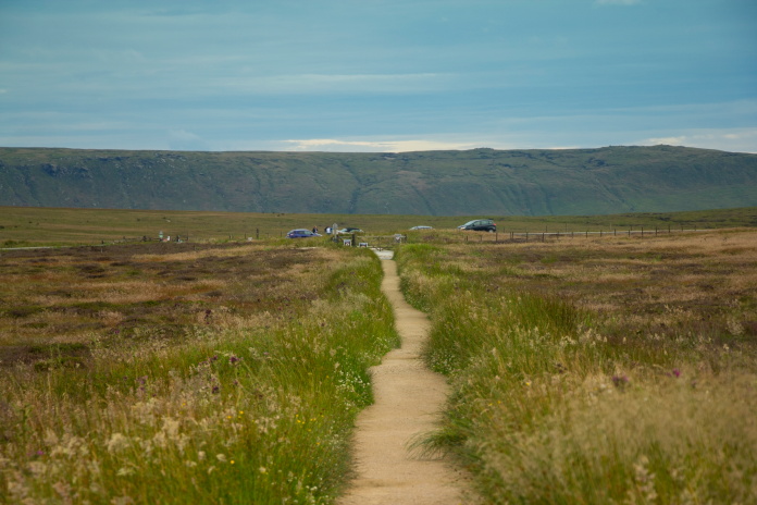
After walking back up the path alongside Near Black Clough for a while; instead of going all the way back to Bleaklow Head I took a shortcut across to the west to intercept the Pennine Way at the top of Wildboar Grain. I then used my counting strides method again as I left the Pennine way at a predetermined spot and struck off across more featureless moorland to find the Blenheim.
Back on the
Pennine Way alongside Wildboar Grain.
Sykes Moor, it's on there somewhere.
I was even more pleased with my navigation here as I walked straight onto a small scar containing some fragments of the Blenheim, a short distance downhill from this scar was another larger scar containing a few larger pieces and a sign pointing to the main site. Uphill from the first scar I found was the main collection of wreckage, and adjacent to that was a third even larger scar, also containing fragments.
Found this small scar first.
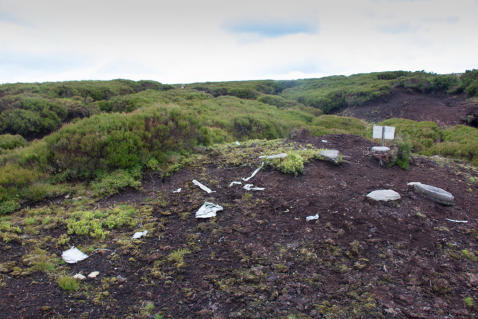
This scar was lower down the hill from the
first one I found..
Third scar higher up the hill from the first
one and adjacent to the main collection of wreckage. All three scars were in line which suggested to me,
could it have hit the hill where the sign is and bounced up the hill,
ending up here. Maybe's, maybe's not, who knows?
Main collection of wreckage.
While I was having a sit down and some bait(Geordie for 'one's lunch') at the Blenheim site prior to tackling the 3.5 mile trudge back to the car, two other 'wreckhunters' appeared. They were also doing the rounds of some of the wrecks in the area and one of them knew me as he'd been reading my webpages.
Back to Bleaklow Head.
After the Blenheim, navigating back to the car was easy as all I had to do was follow the Pennine Way. The weather was now very pleasant as well so the long trudge back to the car became quite enjoyable and finished off what had turned out to be a magnificent walk.
above and below:- Lovely weather for a stroll along the Pennine Way.
My record for visiting crashsites is 8 in one day on the Mull of Kintyre***; but to reach those 8 crashsites we had used the cars twice to relocate to new starting points to visit crashsites number 7 + 8. Today I had only visited 7 but covered a greater distance and had not used the car, so this one takes the record for the most crashsites I have visited in one walk!
I often say this but always a welcome sight no matter how good the walk has been.