Ice Cold in Penistone.
Vickers Wellington DV810 on Broomhead Moor,
Short Stirling
LJ628 on Margery Hill and
Hawker Hunter G-BTYL(XL595) on Brusten Croft
Ridge.
(Distance covered =
9.25mile/Ascent =+317m)
My second day of walking down in the Peak District on a weekend in July of 2021. As with most of my other trips to the Peak District I had dropped Heather off in Huddersfield so she could travel to a Dancing Event with some other Dancers, then I had taken the opportunity while I was down there to do a bit walking.
The previous day I had visited 7 crashsites on a very hot sunny day, but I had split them up into 6 separate walks, today my plan was to visit another 6, but this time all on one walk.
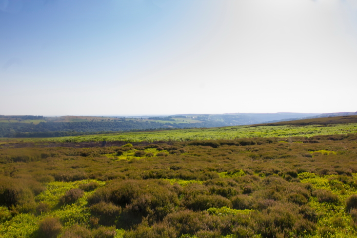
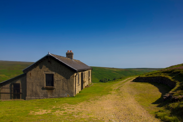
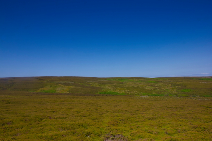
At the start of my walk on day 2 and looking like it could be another warm one.
The day before was a bit of a long one*, I didn't actually finish walking until 11:00pm. I then had the best nights sleep I've enjoyed in a long time and didn't wake up on the Sunday morning until 7:00am, so it was a later start than I like but I didn't have to pick Heather up from Huddersfield until 9pm so I still had plenty of time.
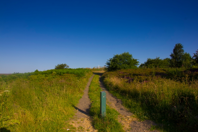
Setting off at approximately 7:30am and it was already really warm.
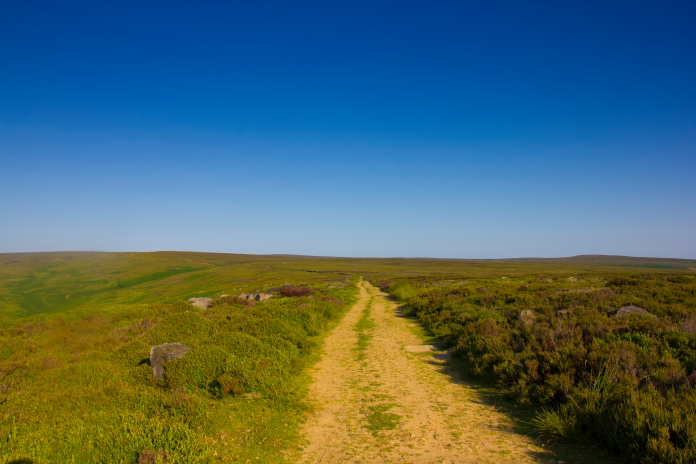
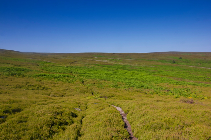
Along the Duke's Road path.
My first objective was only 1 mile from where I'd parked the car and to find it was a simple case of following the Duke's Road path to where it turned directly west, then walking directly north for 300metres. There was even a conveniently placed mast to help keep me walking north.
If I walked towards that mast for 300 metres I should find the remains of Wellington
DV810.
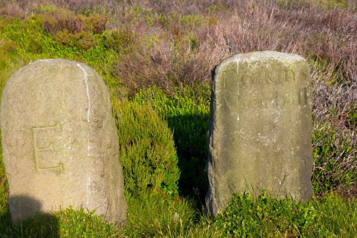
I thought at first these were grave stones and I was convinced the one on the right read "Fucking know it all"
After passing several more I realised they were actually boundary markers.
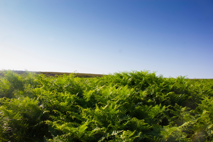
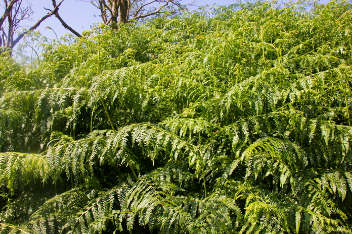
After walking north for 300 metres I didn't find any remains of a Wellington, instead I was confronted by a wall of very high bracken which made me think the first crashsite of this walk might turn out to be an FTF.
Not what I was hoping to find.
Despite initial impressions the Wellington crashsite actually proved quite easy to find as it lay in a small oasis of heather amongst a sea of tall bracken. There wasn't much Wellington left too see however, as like most of the sites in the Peak District it has suffered from the attentions of what I'll refer too collectively as 'Magpies'
Crashsite of Wellington DV810.
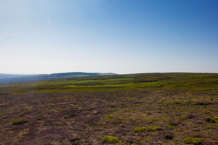
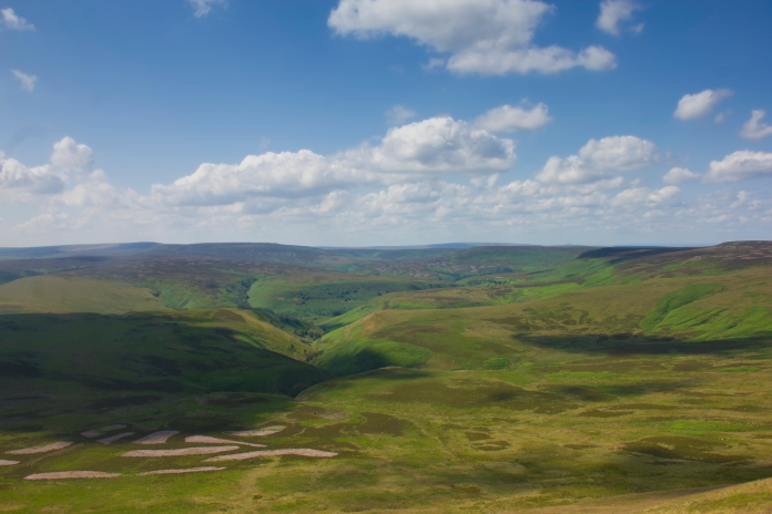
From the Wellington site I now had an almost two mile trek across the moor to have a look for remains of a Short Stirling that lay on the lower slopes of Margery Hill. Most of the distance across to the Stirling was pathless but after having a look on Satellite imagery before the trip I knew there was a path that ran from a shooting lodge for about half a mile in the right direction, so I made for that.
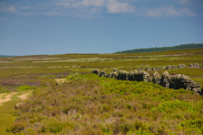
above and below:-Two views looking back to Broomhead Moor where the scant remains of Wellington DV810 lie.
The route over to the shooting lodge.
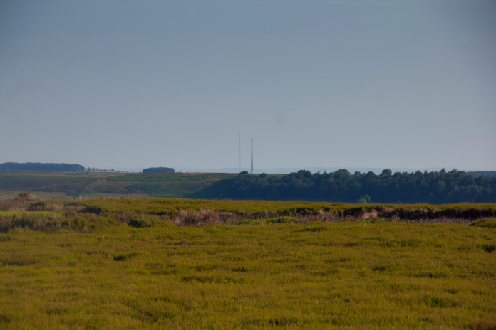
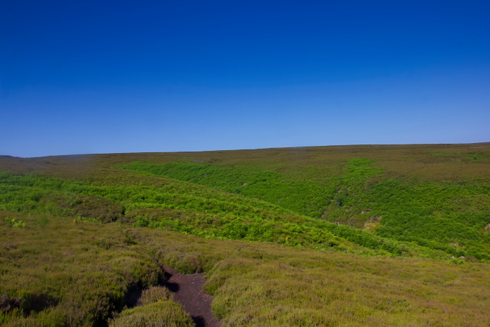
The view over to Margery Hill, the Stirling crashed in the area in the centre of the photo.
The shooting lodge beside the Side Head
Beck.
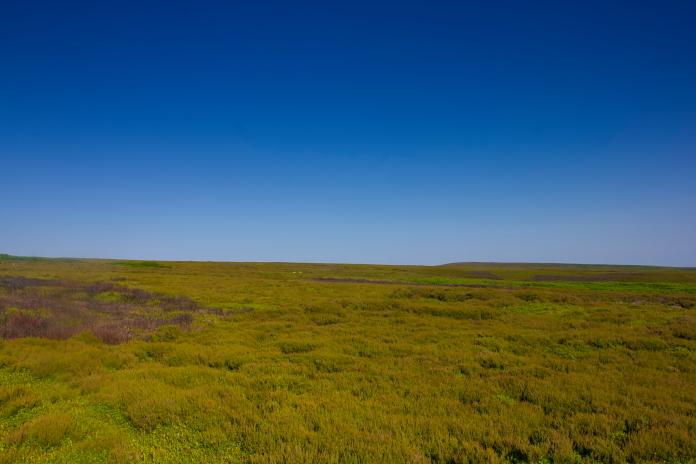
Although I could follow the path west for only just over half a mile it still made life a little easier and when after crossing a quite deep cleugh it turned to the south west and I had to leave it in order to continue to the west I still found the going quite easy thanks to large patches of heather that had recently been burnt off.
Following the path west.
above and below:-Crossing the cleugh that heralded the change in direction of the path.
Quite easy going across young heather, the
cleugh ahead contains some bits of Stirling.
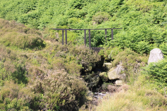
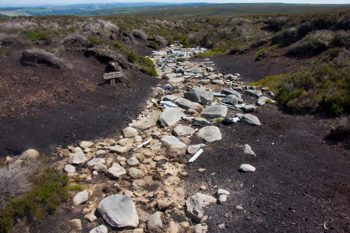
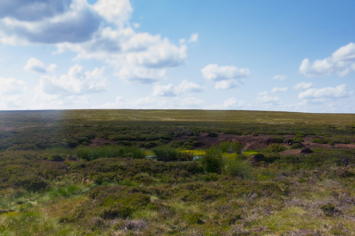
Before heading to the Stirling site I dropped into Stainery Cleugh to have a quick look for some bits of Stirling that were reported to be in there. In the cleugh it was very sheltered so it was extremely warm, probably best described as stifling. The cleugh was also full of tall bracken, but I was still able to find a couple of pieces of wreckage in there, but not I suspect all of it.
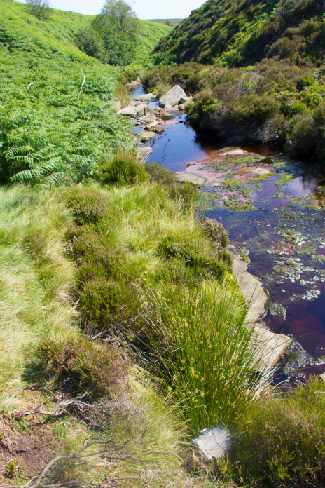
In Stainery Cleugh, not taking the
opportunity to refill my waterbottles here would be rued later on in the
day.
The second time on this walk I had been confronted with this view.
After doing battle with the tall bracken I managed to extricate my self out of the cleugh and was then able to start searching for other bits of Stirling wreckage. I had two grid references for this site which were meant to be either end of a wreckage trail that ran east to west. At the first grid reference encountered which was farthest to the east I was unable to find anything despite having a good root around in all the gullies. It wasn't until I reached the second grid reference that I started to find bits of Stirling.
Some bits of Stirling found at the western end of the supposed wreckage trail.
I thought the few scraps I initially found were all that was left as I knew a 'Recovery Group' had been here and removed a lot of the wreckage. I therefore figured they must of done a pretty thorough job of plundering the site and that was all I was going to find. After having a sit down and some refreshments I did one more sweep of the area and began finding quite a few more pieces to the west of the first few scraps I came across.
This gully still contained numerous fragments but it used to be full of large bits of the Stirling before the Recovery group had them away.
After the Stirling I had to endure a long hard slog up onto the summit of Margery Hill, it wasn't too hard going or indeed very steep but it seemed like it was because of the excessive heat. The day before the temperature gauge in the car had registered 38 degrees Celsius and I reckoned it must have been about that temperature on this day as well.
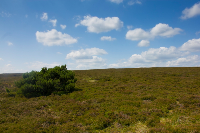
With the sun glaring down I suffered a bit of a mirage when I mistook this bush for the summit cairn of Margey Hill.
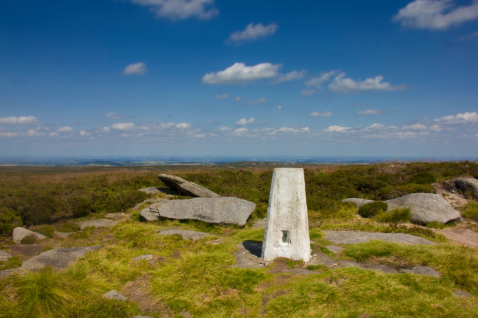
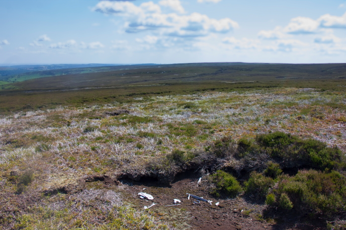
The actual summit of Margery Hill.
Despite humping along 5 ltrs of water by the time I hit the summit of Margery Hill I only had 300ml left. I was very hot and very thirsty, so although there were streams marked on my map to the north west of Margery Hill, where I was planning on going next, I didn't want to take the chance of them being dry which would condemn me to a 6 mile walk back to the car in roasting hot sunshine with no water.
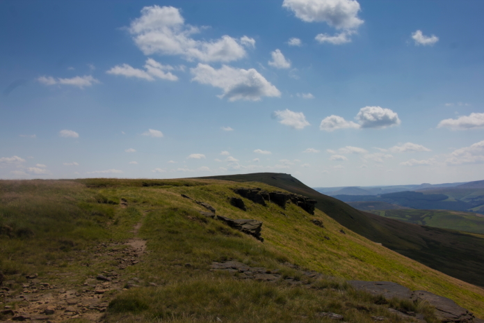
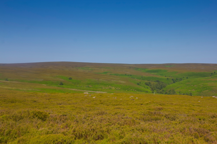
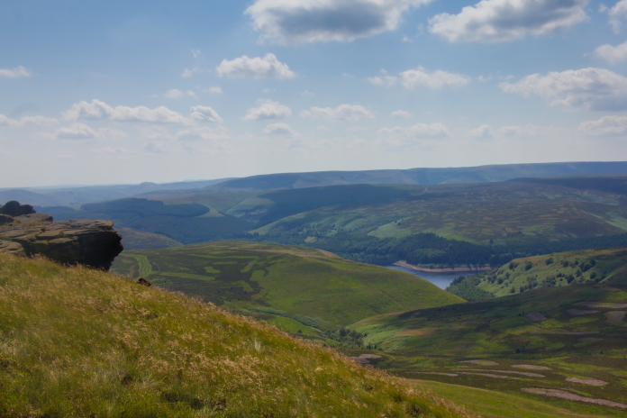
Heading south along Wilfrey Edge.
I spent a long time on the summit of Margery Hill pondering my predicament but in the end common sense prevailed and I aborted going to the three crashsites north of Margery Hill. Instead I started walking south on a route back to the car which went via the crashsite of a Hawker Hunter. By the time I reached the large crater on the moorland which marked the final resting place of the Hunter I had passed enough dry stream beds to console myself that I had made the right decision.
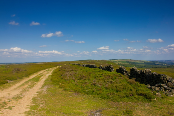
above and below:-Canny views to the west.
Despite my decision to cut the walk short I still had a 4.5 mile trek back to the car, but with the psychological advantage that I was walking back to the car and not further away from it. I followed a ridge south from Margery Hill until I was just south of an area marked as High Stones on my map, then when I was due west of the Hunter site I followed a course due east which would see me intercept the Dukes Road path just after passing the Hunter site.
1.5 mile in that direction would see me on the Dukes Road Path via the Hunter Crashsite.
Arriving at the crashsite of Hawker Hunter
G-TBYL
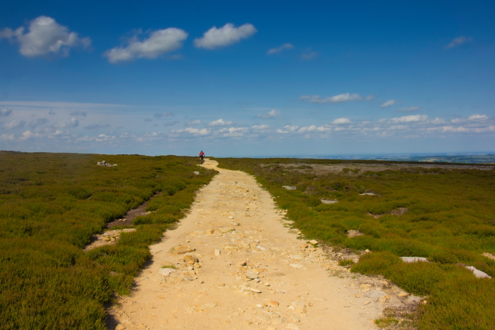
Back on the Dukes Road path as planned. The
guy ahead was on a bike #envious
By the time I was back on the Dukes Road path I was out of water and very thirsty, that combined with the dusty track and searing heat from the sunshine gave me a bit of an idea what it must be like being stranded in the Sahara desert or Australian outback. I did pass one stream that still had a trickle of water flowing but it was so peaty that it looked and tasted like pi55, not that I've drunk pi55 to know what it tastes like but I would imagine it would be similar to the flavour of the water out of that stream.
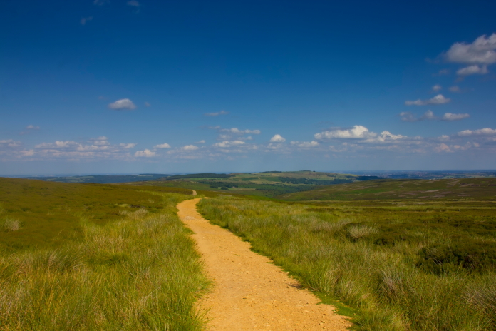
above and below:-Enjoying my Sahara Desert experience while walking back along the track.
Thoughts of glugging down loads of nice cool water once I reached the car were a good distraction from the heat and thirst but those thoughts were dashed when I arrived back at the car and opened the door to find the inside was akin to an oven on gas mark 10, consequently all the hoped for nice cold water inside was warm enough to take a bath in. I made do with pouring some over my head to cool off a little then made haste to find a shop to buy a much needed cold drink or two!
Just how I felt when I eventually got my
nice cold drink from the co-op in Penistone.