Speed 2.
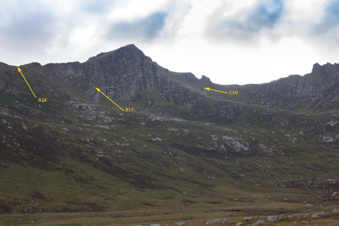
Consolodated B-24 Liberator
42-41030,
Boeing B-17G 42-97286(Skipper
"an" the Kids),
Lockheed C60 Lodestar 42-56014
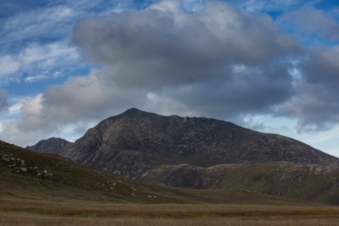
on Beinn Nuis
(Distance covered = 9.0 mile/Ascent =+1204 m)
Day three of my 2017 walking Holiday, the previous two days I'd spent visiting 3 crashsites in Glen Trool over on the mainland, then I'd caught the ferry over to Arran.
I had planned on parking beside Brodick Castle to start off my day 3 and day 4 walks to Beinn Nuis and Goatfell respectively but instead I opted to park in Glen Rosa as the initial approach into Beinn Nuis from there looked a lot more straight forward.
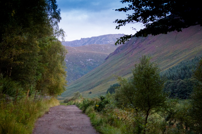
Early start along Glen Rosa.
By the time I drove off the ferry at Brodick the previous evening it was 9pm and already dark, so I drove up the narrow road to a small car park adjacent to Glen Rosa campsite and switched Blueberry Esmerelda Muffin II into 'camperpug' mode, I then had an early night with the intention of setting of walking at 5.30am the following morning.
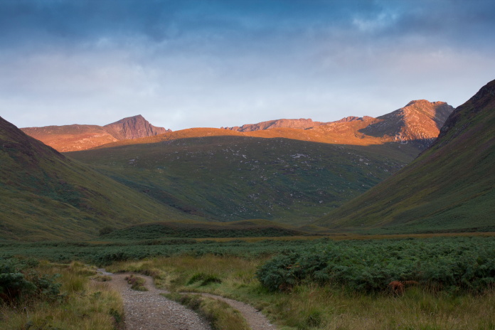
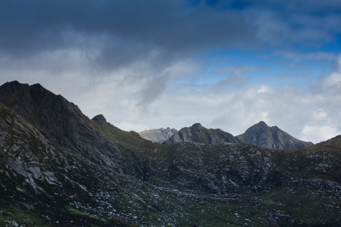
The sun rising over Beinn Nuis, Beinn Tarsuin and Beinn a Chliabhain.
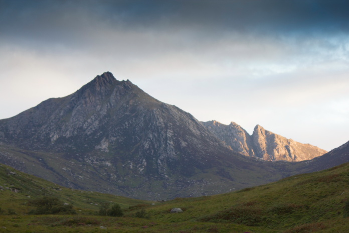 Cir Mhor with the 'Witches
Step' beyond and to it's right.
Cir Mhor with the 'Witches
Step' beyond and to it's right.
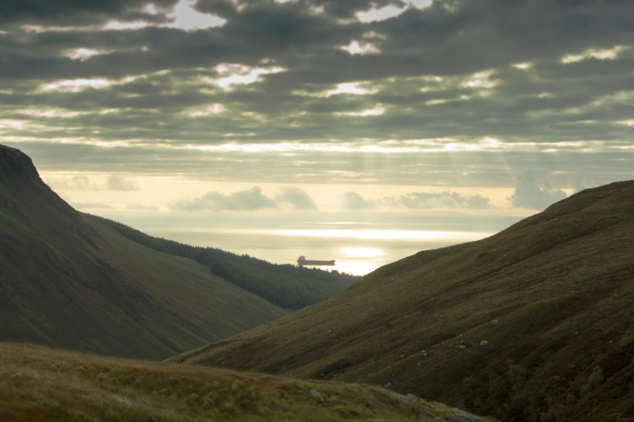
Walking along Glen Rosa at 5:30am was lovely and after half an hour or so the sun starting rising over the peaks at the far end of the Glen, it was starting to look like my good luck with the weather was going to last for a third day running!
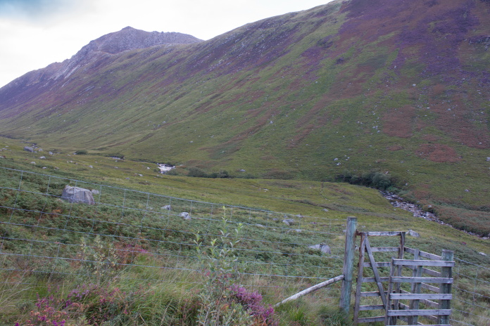 I christened this kissing gate the 'Fat Bastard tester'.
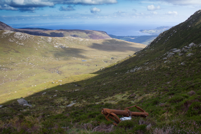
The peak in the distance is Goat Fell, the highest mountain on Arran; on
the steep heathery ridge below it's rocky summit is the crashsite of a
Bristol Beaufort.***
I christened this kissing gate the 'Fat Bastard tester'.
The peak in the distance is Goat Fell, the highest mountain on Arran; on
the steep heathery ridge below it's rocky summit is the crashsite of a
Bristol Beaufort.***
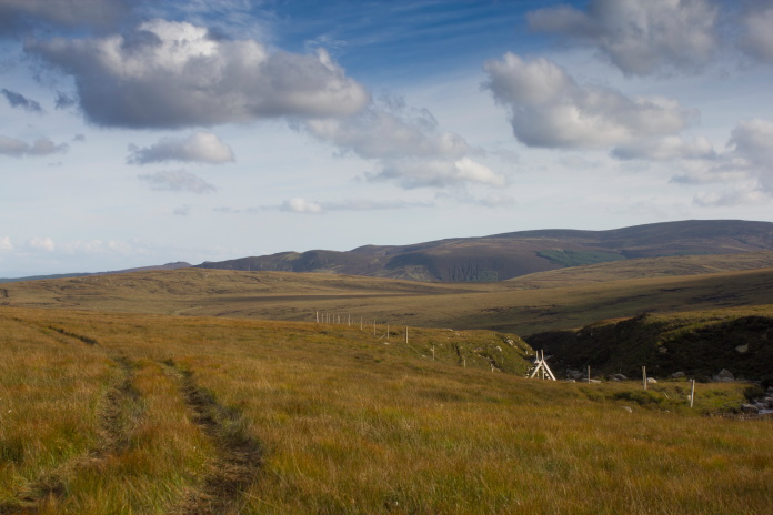
After walking along Glen Rosa for about a mile and a half I had to leave the well constructed footpath and head off uphill to the left, on a not so well constructed but adequate path that followed the Garbh Allt burn up and out of the Glen. Not far up this path was a deer fence with a kissing gate that I reckoned must have been put there to discourage anyone, who was perhaps a little bit overweight for hillwalking, to progress any further. I managed to squeeze through; just!
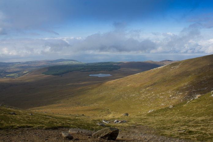
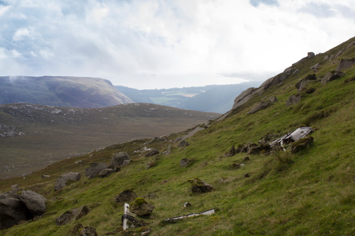
View down Glen Rosa.
After the initial steep climb out of Glen Rosa the ground levelled out a bit and fantastic views across to the Beinn Nuis horseshoe were on offer. This stretch of about a mile was very boggy and halfway across there was a very steep and deep ravine to negotiate, it was going to prove to be the worst mile of my holidays for being pestered by midge.
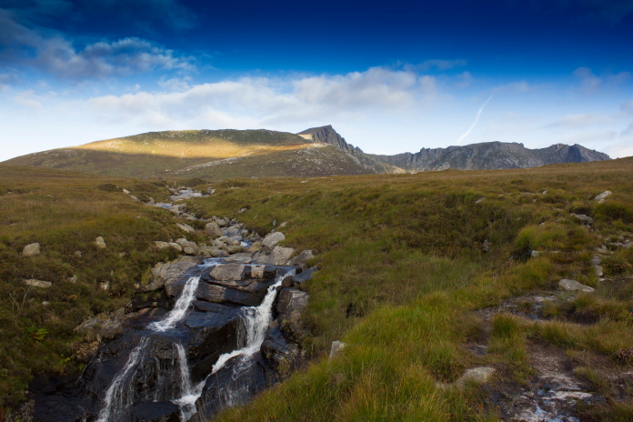
Bagged my waterfall photograph for the day!
I'm not all that bothered by midge, they don't bite me all that often and if they do it doesn't have much affect on me other than a short period of itching which soon goes away if I ignore it. That doesn't mean it's not annoying when there's loads of the little shits buzzing around my face trying to decide if I'm tasty or not. This was the case while walking across to Beinn Nuis. Midge can't fly very fast so if you keep walking fast enough they can't keep up, I'd used this tactic to great effect while visiting an F100 Super Sabre on Ben Donachan* and it was also working a treat on the way to Beinn Nuis until I had to cross a very steep gully, where like a tribe of Apache Indians using a canyon, they ambushed me in their thousands.
Midge Canyon.
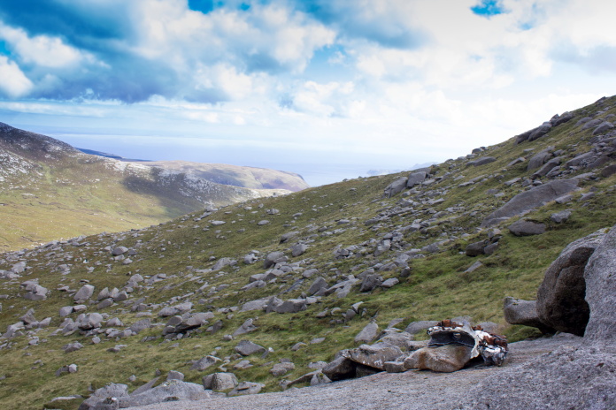
Things didn't improve on the midge front until I'd climbed high enough up Beinn Nuis to find a nice stiff breeze. As well as solving my midge problem the breeze was also very welcoming because up until then it had been very warm going. Because I'd set off so early, as well as some butties for my dinner I had also fetched along something for my breakfast, but because of the pesky midge I hadn't yet had a chance to eat it, so I found a lovely flat boulder to sit on which had some fantastic views of the peaks to the north and the coast and Brodick to the east.
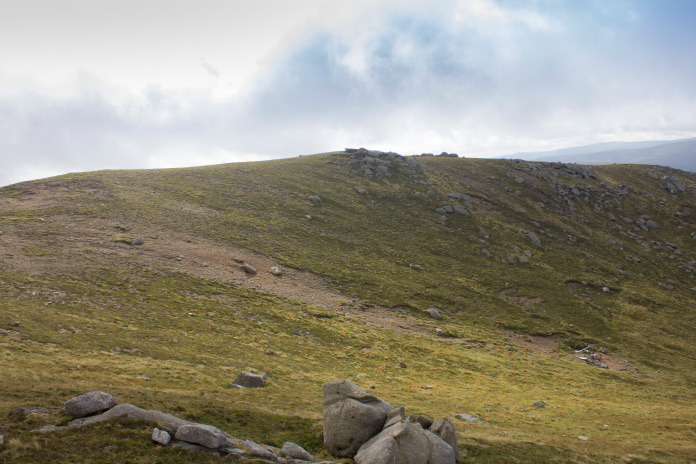
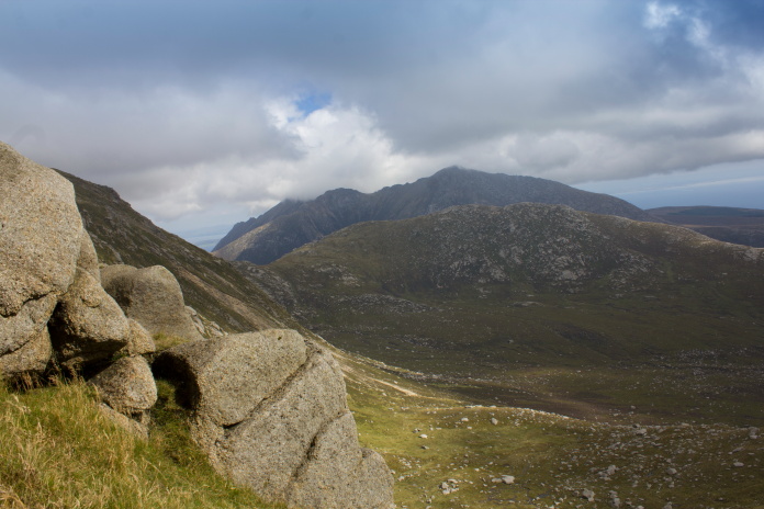
Canny views north on the ascent of Beinn Nuis.
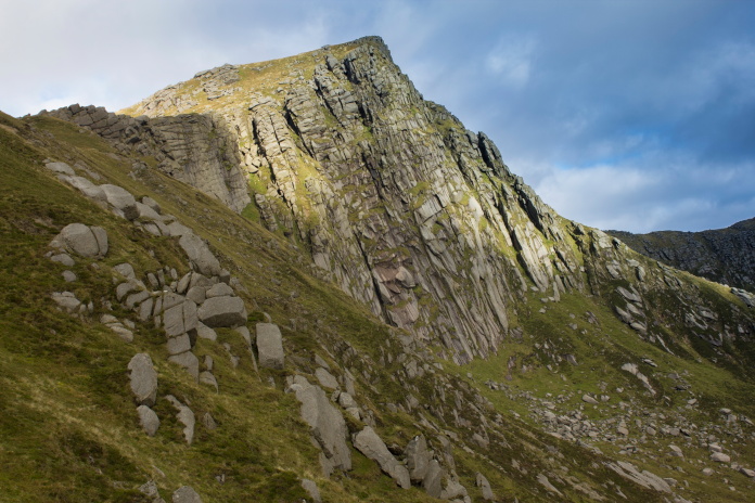
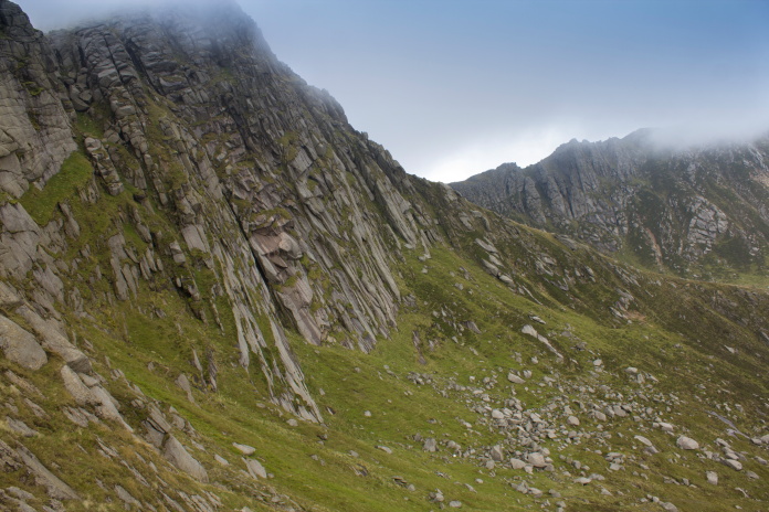
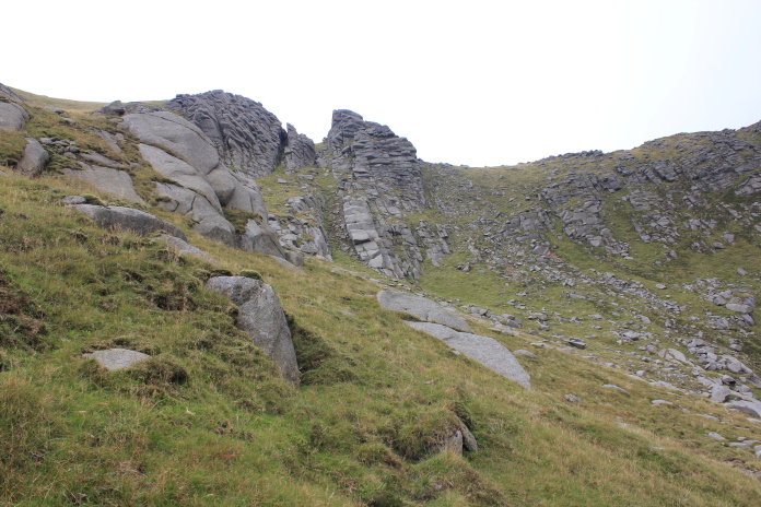
Beinn Nuis summit, crashsite number 2 on my days itinerary lies at the foot of the
cliffs.
My first objective for the day was the crashsite of an American B24 Liberator, it had impacted the less dramatic side of Beinn Nuis near the top of a ridge, ending up with some wreckage there and some going over the ridge and down the steep slopes into Coire nam Meann.
above and below:-B-24 wreckage in Coire Nuis on Beinn Nuis' more gentle side.
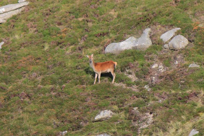
Because I didn't have my glasses on I mistook the white hind quarters of this for a piece of wreckage, it waited till I walked down the hill to check it out before it decided to run away.
The B24 flew in from right to left, hit the slope where the scar is at the centre, the front end then continued over the ridge on the left, the rest
burnt out in the scar before eventually being dragged down the hill
by the recovery crew and buried on the right.
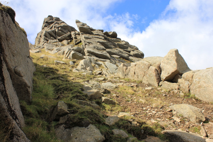
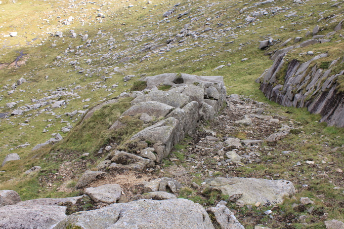
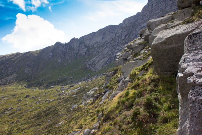
I was a little concerned at how steep the slope was on the other side of the ridge, I needed to be down to the bottom of it to reach crashsite number 2 and ultimately crashsite number three and the other pieces of the B24 I had just visited. I needn't have been concerned though as there was a path that took a less intimidating traversing course down to the base of the cliffs and actually lead right to the B17 wreckage. When I say 'less intimidating' I mean it wasn't so vertical as to be unmanageable.
 Making my way down the 'manageable' path to the base of the summit cliffs.
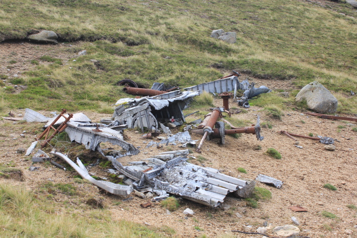
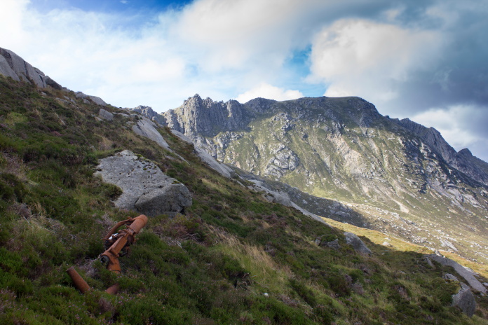
Above and next two photos:-Some pieces of B-17 'Skipper "an" the Kids' below the cliffs on Beinn Nuis.
above and below:-Although there's no way of knowing for sure, could these four dents in the rockface have been made by the B17's four engines? They were directly above the wreckage and I estimated about the right scale!
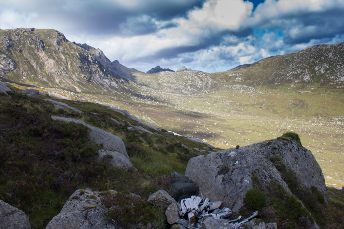
View back to the B17 crashsite in Coire nam
Meann, it hit the rockface on the right and wreckage is scattered in the boulder field below.
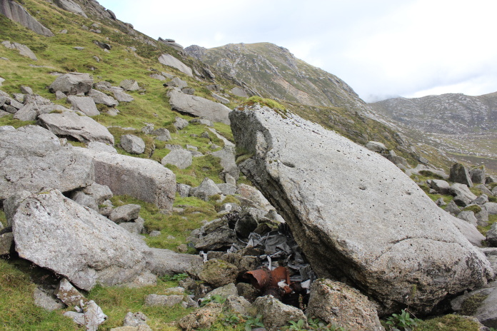
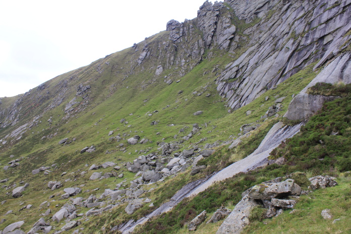
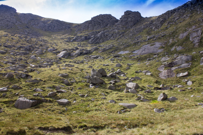
From the B17 wreckage it was a short walk around a ridge to the north around another smaller ridge and into a small separate coire to reach crashsite number three for the day, which was in a gully below a rock outcrop known as the 'Flat Iron Tower'.
Negotiating the ridge to the north of the B17 site.
The C60 crashed in the gully leading up between the two rock outcrops on the skyline.
The gully leading up to The Flat Iron Tower.

Above and below:-I deduced the C60 hit the rocks here as there was no wreckage any higher up than this point and there was a distinct gap in the stone wall on this side of the gully containing pieces of smashed stone and small pieces of aircraft wreckage . Wreckage is scattered down the gully on the right with a few pieces also being scattered down the grass and gravel on the left.
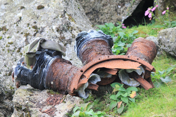
As well as there being quite a few small pieces of the C60 in the gully there was also a trail of what I would say were engine parts leading off down the hill, terminating in a waterlogged boggy area in the base of the coire. I would speculate that one of the engines had rolled off down the hill immediately after the crash, disintegrating as it bounced off boulders on the way down.
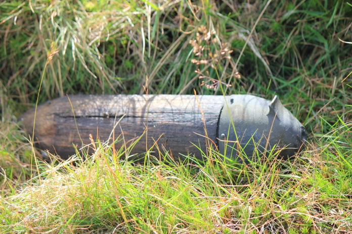
Would love to know what this part is?, it was made of wood with a rubber cap, answers on a postcard please.
There is a similar part to this at the Hudson crashsite on Glenouther Moor**, that part has been
identified as the engine control pullies from the engine firewall!
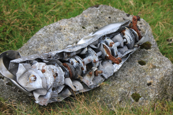
Inlet valve and detached valve seat in a broken piece of an engine cylinder head.
There were several pieces of cylinder head scattered amongst the boulders.
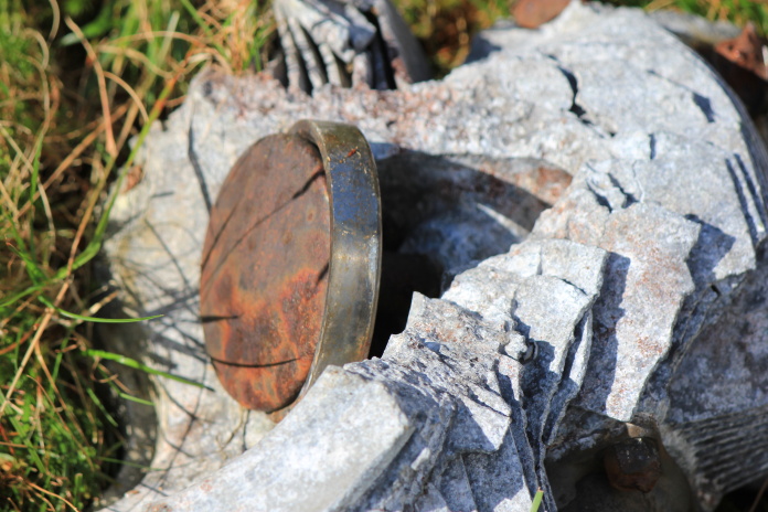
Piece of engine, lying on a boulder about halfway from where the C60 hit the hill and the bottom of the coire.
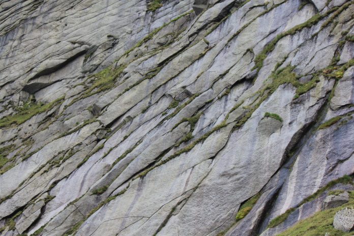
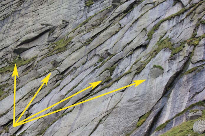
There were pieces of engine in the boulders
all the way from the gully near the top centre of the photo down to the
boggy area in the immediate foreground.
On my way back around into Coire nam Meann to look for the other pieces of B24.
Above and below:-One of the largest pieces of B24 on the eastern side of the ridge is the nosewheel leg. More wreckage photos
There was a lot of pieces of B24 scattered
for quite a distance down the slope and in 3 burns that were running off
the hill.
By the time I'd finished searching for bits of B24 in Coire nam Meann I was back down to the Garbh Alt burn, so I headed over to the other side of the Glen as I'd seen an ATV driving up there earlier so figured there might be a track over there to follow off the hill.
Taken from the other side of the Garbh Allt
burn this photo shows the location of the 3 crashes on Beinn Nuis, the B24
being just the other side of the ridge to where the arrow is pointing
although pieces can be found scattered down the slope below there on this
side as well.
Over 1km away from the crashsites and on the other side of the
Garbh Allt burn, this piece must have been dropped during recovery, can't
say for sure which of the three it came from but I have seen a photo of a
similar piece at another B17 crashsite.
Nice easy going on a Quad track, or should I say ATV track. Following this had the added bonus of bypassing midge canyon, seen on the right.