
The Three Peaks Challenge..
DH Dominie X7394 on Broad Crag,
Supermarine Spitfire SL611 on Ill Crag
and Piper Cherokee G-ASEK on Esk Hause.
(Distance covered =
8.4 mile/Ascent =+1385m)
I had planned on visiting the three wrecks on Scafell Pike on the same walk as visiting the three wrecks on neighbouring Scafell*. As that plan had proved to be a bit over ambitious on the day it was decided to leave the three on Scafell Pike for another day; this was that day.
My eldest Son Stuart had accompanied me on my Scafell expedition so he too wanted to come back to do the three on Scafell Pike. We set off really early with the thought of arriving at Wasdale Head, where we were starting this walk, before it became too busy. We drove into the carpark at 7-00AM to find our strategy had failed.
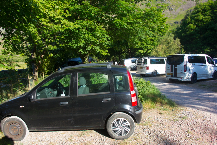
In the carpark at Wasdale Head, it was already chocca with cars, buses, minibuses and campervans.
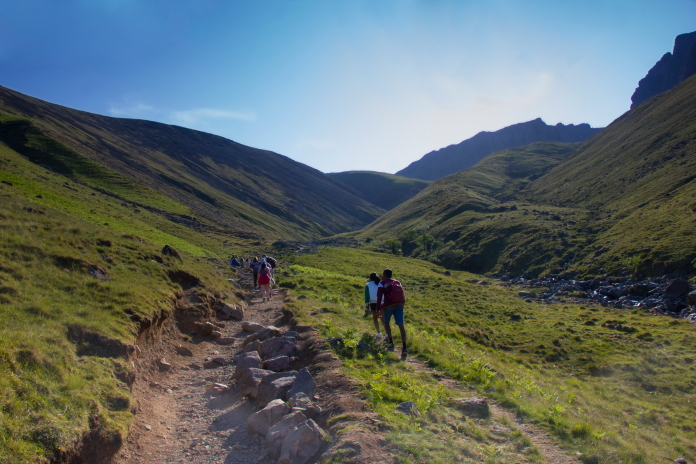
The reason the carpark was so busy and as we were to find out later, the footpath up to the summit of Scafell Pike, was the popularity of the Three Peak Challenge. The Three Peak Challenge involves climbing the highest mountains in Scotland Wales and England, namely Ben Nevis, Snowdon and Scafell Pike. Not only must the three Highest mountains be climbed to complete the challenge, it must be done in 24 hours. We had chosen to do our walk on what seemed to be the same day all the Three Peak Challengers had chosen to tackle England's Highest Mountain.
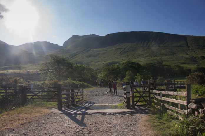
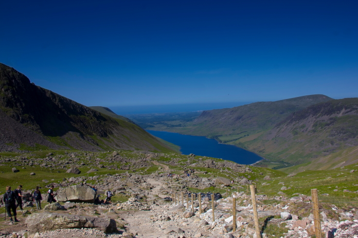
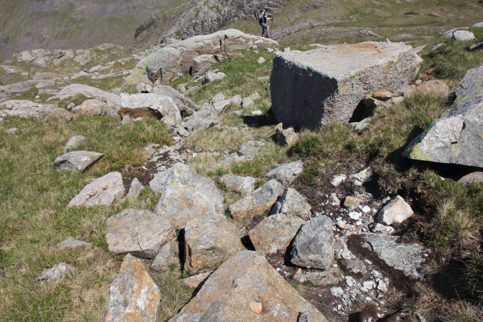
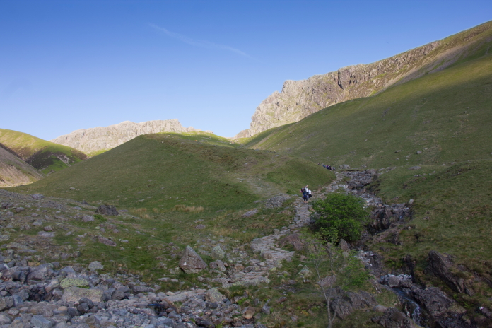
Above and below:-Setting off up the very busy tourist path to the summit.
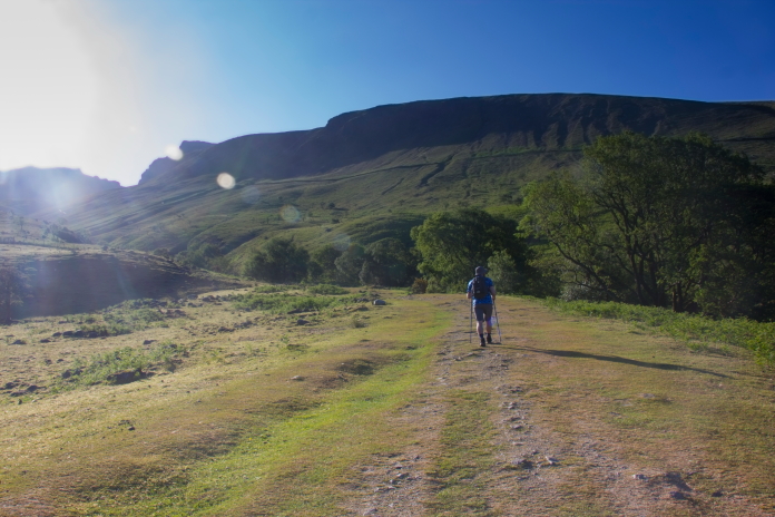
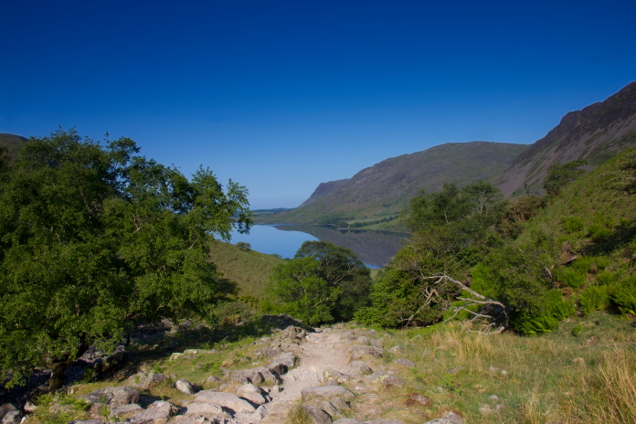
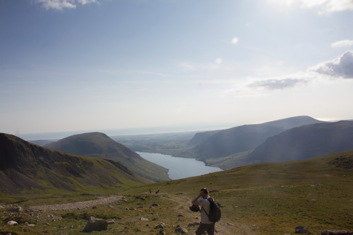
There were two routes I considered for ascending Scafell Pike, either starting out from Wasdale Head or from Seathwaite. I chose to use the Wasdale Head route as it was the shortest, but in hindsight I wish I'd chosen the Seathwaite route as it may not have been so busy and the views are reported to be much better; not that the views were bad walking up from Wasdale Head but for a lot of the way there was only the one view on offer, looking back over Wastwater.
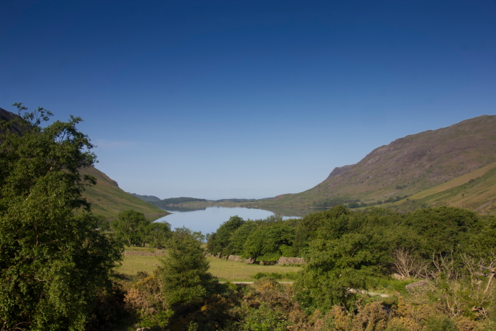
above and below:-The first of the spectacular views back over Wastwater we were to experience.
When we were on Scafell a few weeks earlier we did not encounter any midge, that was not the case on Scafell Pike where they were prolific on the lower reaches. Perhaps they were attracted here by the sheer volume of blood donors walking up and down the mountain all day. On Scafell we only encountered about 6 other walkers.
This stretch was particularly blighted by Midge.
Another view of Wastwater.
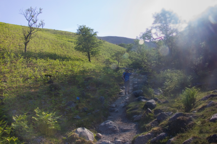
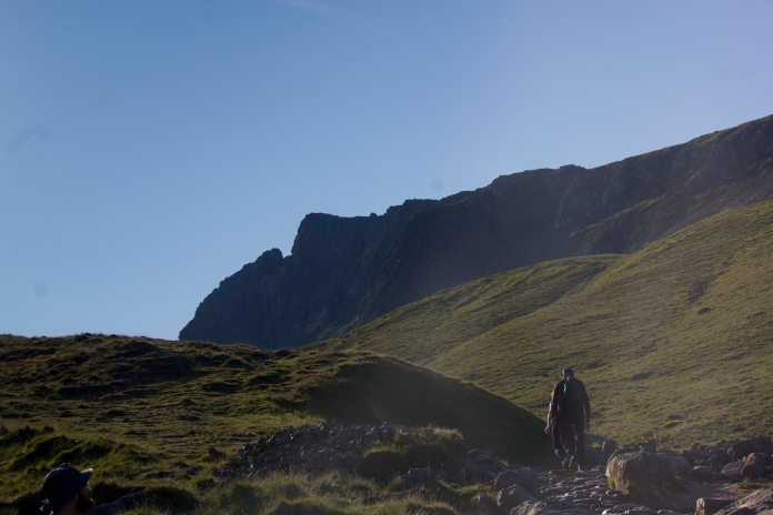
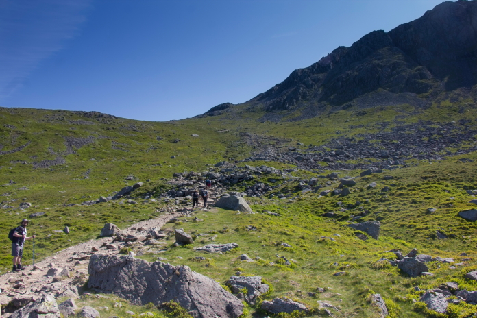
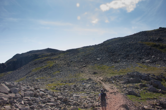
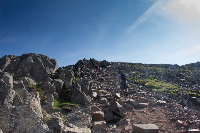
An upside of taking the Wasdale Head route was the navigating being very easy thanks to the well worn and well cairned tourist path that runs all the way up to the summit. A downside was, it became a bit of a monotonous slog, a little bit reminiscent of the tourist path up to Ben Nevis. This path wasn't quite as boulder strewn and didn't have as many zigzags but it did however have as many people on it, in fact a lot more.
The very well worn tourist path up to Scafell Pike.
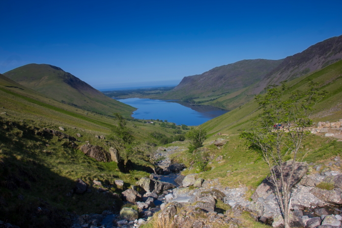
Another view back over Wastwater.
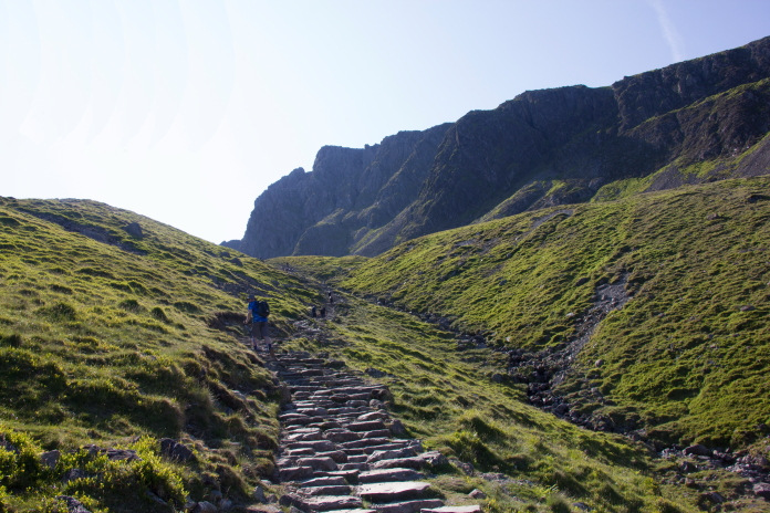
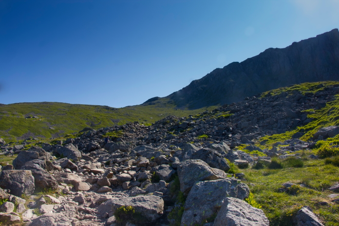
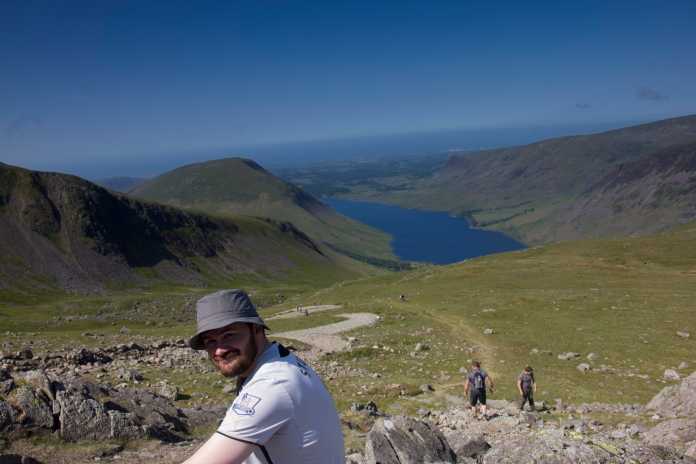
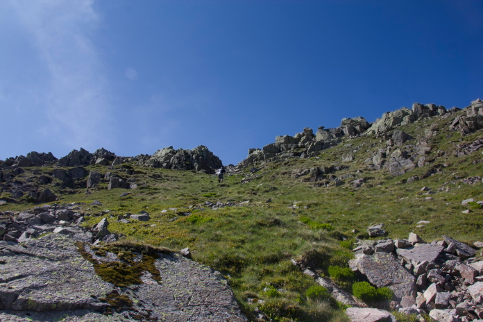
above and below:- Nearing the top of 'Brown Tongue' with Scafell Crag ahead.
Another view back over Wastwater. The family about to pass us had two small
children, their little girl was only 6yrs old.
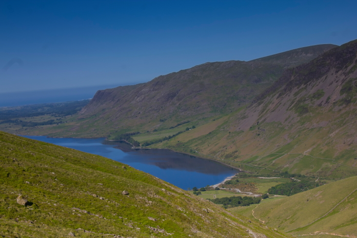
Yet another view back over Wastwater. For a
while it was the only view, but it is a nice view.
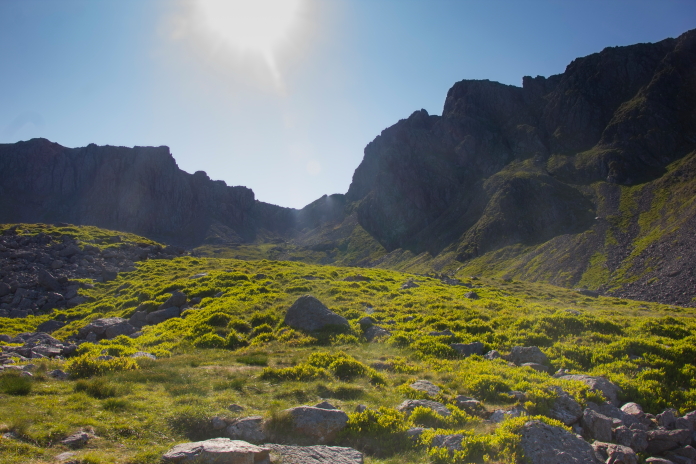
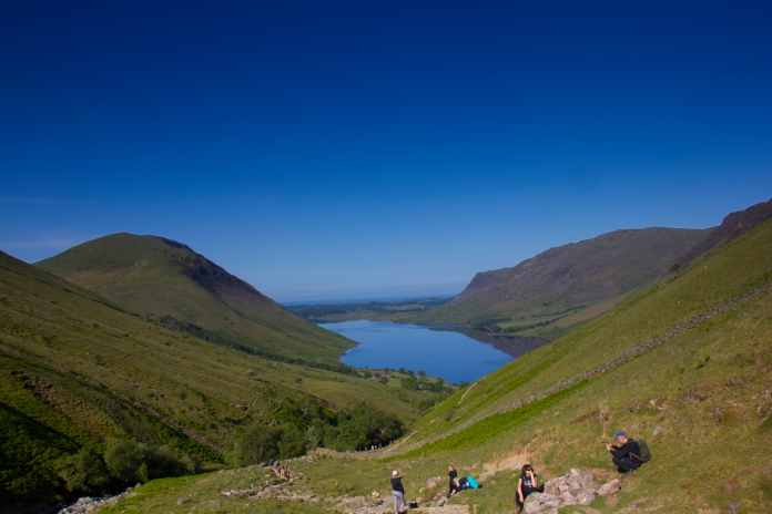
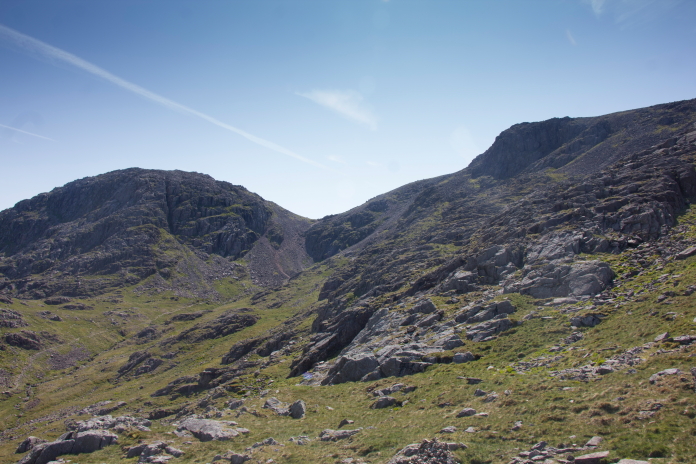
The gap between Scafell and Scafell Pike. If I'd have stuck to my initial plan we would of had to cross that, twice!
Above and below:-Crossing an area called Shallow Stones.
above and below:-Two more views of 'yup', Wastwater!
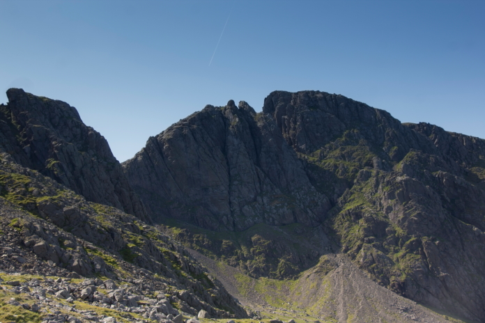
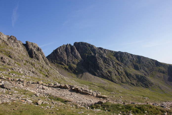
The northern cliffs of Sca Fell and the Lord's Rake.
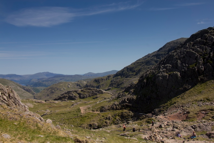
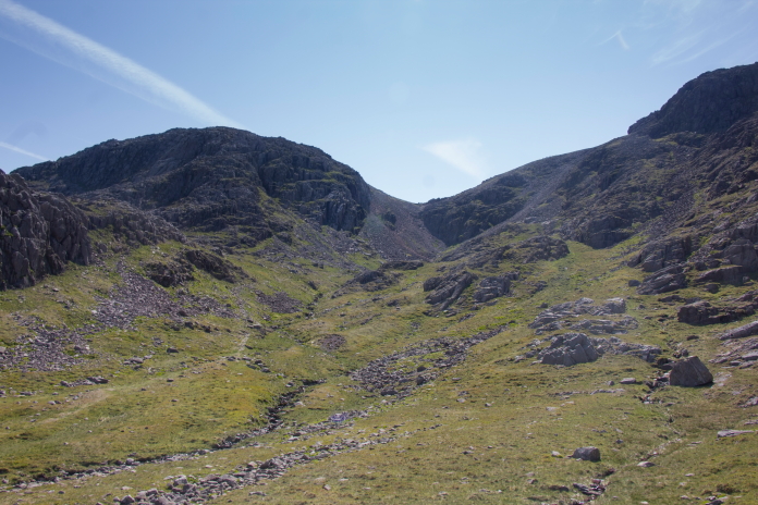
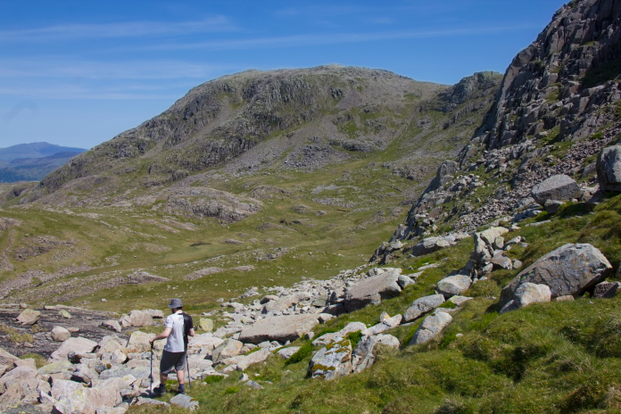
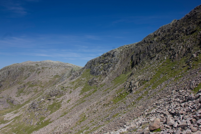
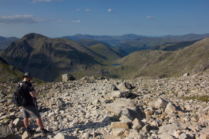
Once we were across Shallow Stones and up onto Lingmell Col we were able to switch from 'Tourist mode' into 'Wreckhunting Mode', so off we went in a different direction to everyone else. Lingmell Col also heralded the advent of several new views that didn't include Wastwater.
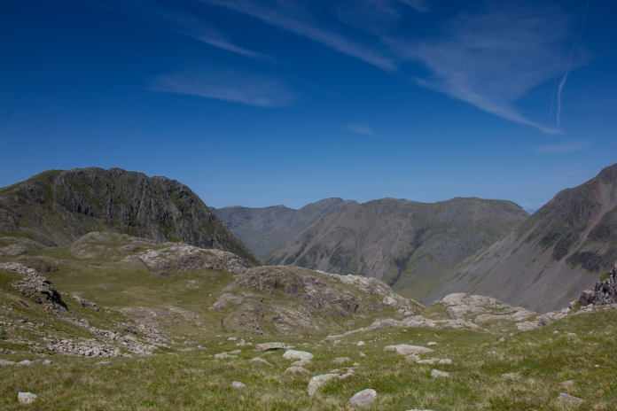
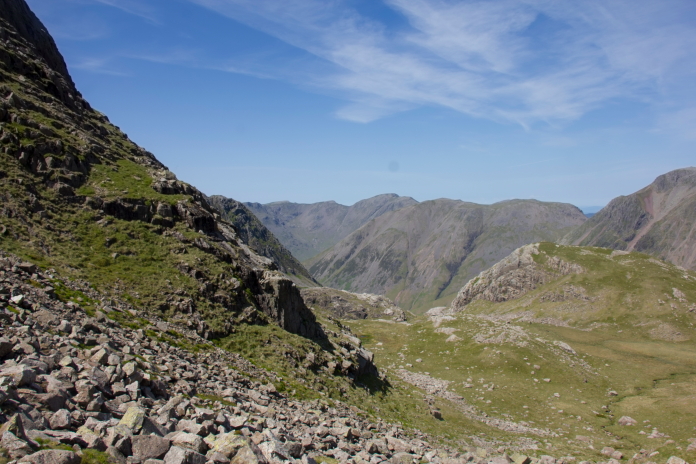
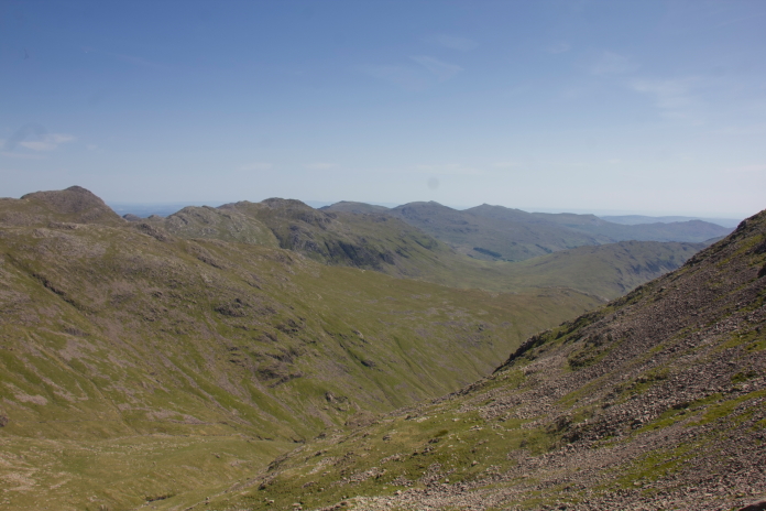
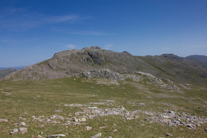
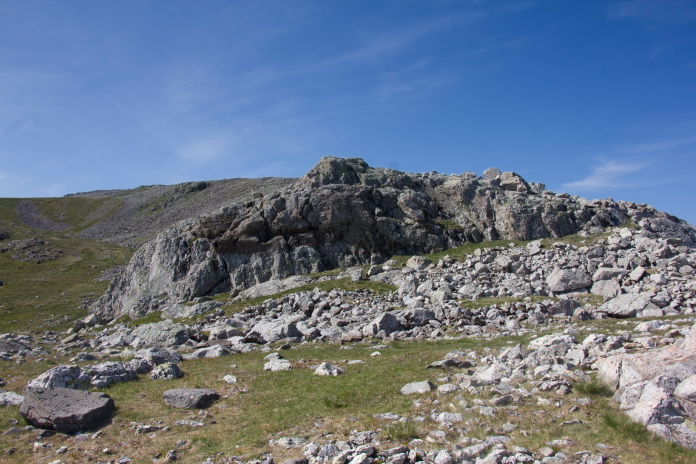
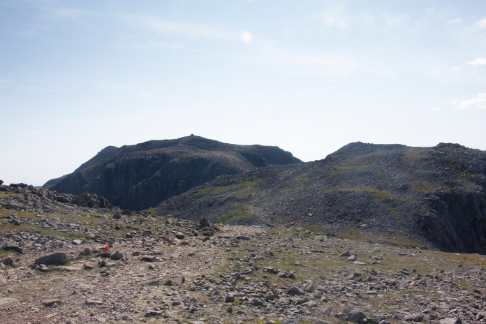
View across from Lingmell Col to Broad Crag on the right and
Great End on the left. The first crashsite on our agenda lies on the
crags below Broad Crag.
A closer view of the area where the remains of Dominie
X7394 lie.
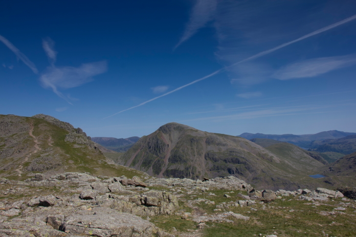
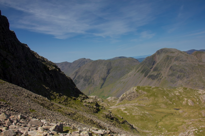
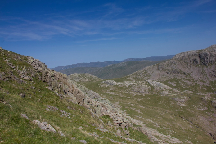
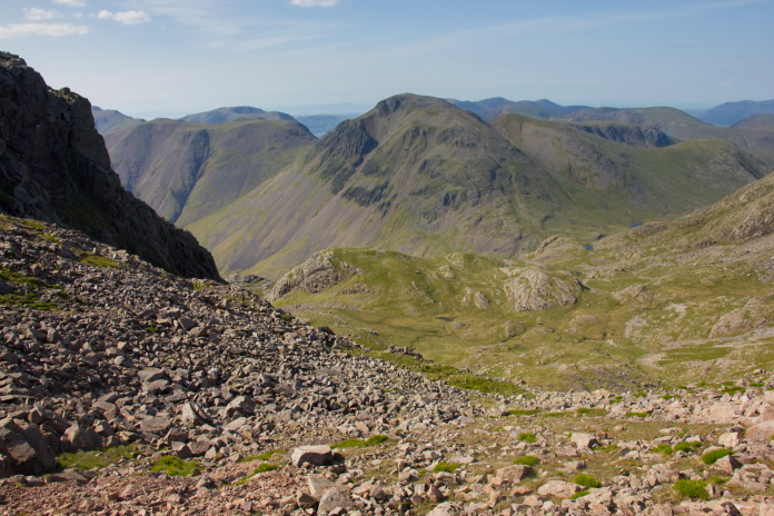
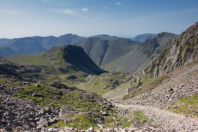
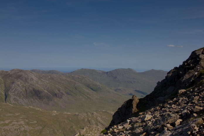
View north from Lingmell Col over to
Lingmell on the left and Great Gable in the middle distance. Styhead Tarn
and some of the route up from Seathwaite can be seen to the right of Great
Gable.
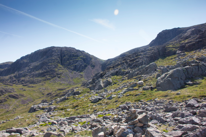
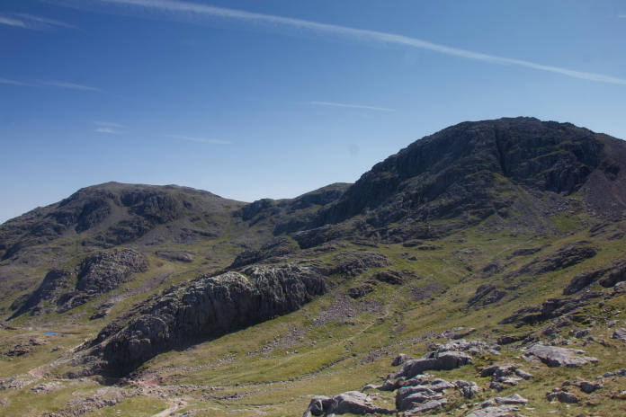
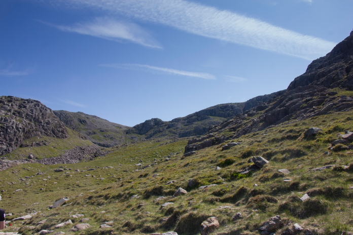
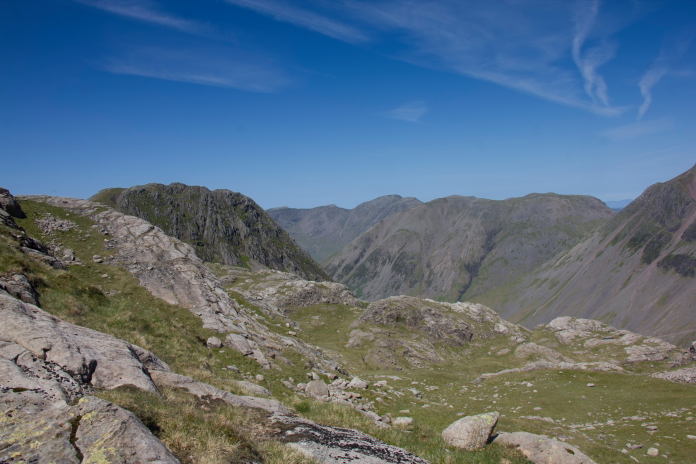
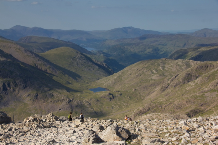
above and below:- Two views of the col between Broad Crag on the left and Scafell Pike, we would cross over the top of there later in the day.
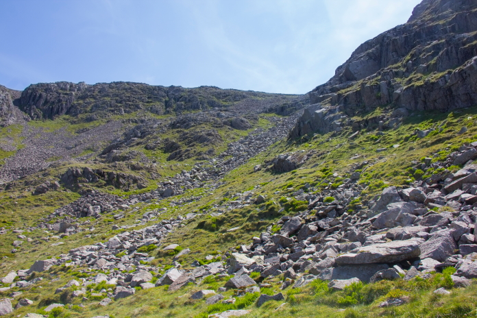
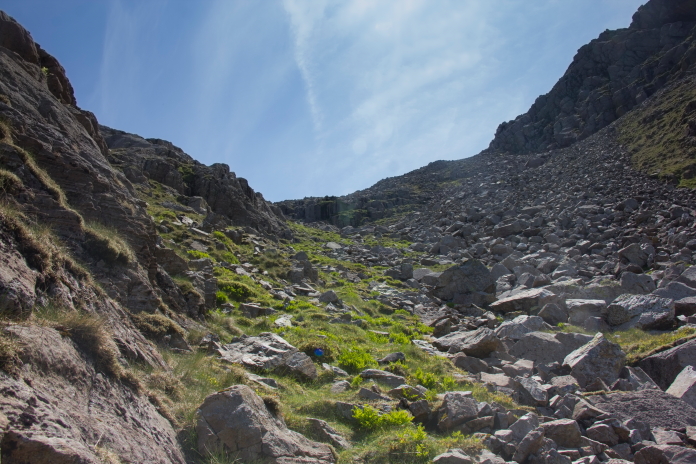
As there were numerous cliffs and ledges in the area of the Dominie crashsite I opted to play it safe and approach from below. Approaching from below meant dropping down into Greta Gill, which involved losing quite a bit of hard earned altitude. The path down to Greta Gill from Lingmell Coll was however a lot more interesting than the tourist path we had been on so far and very enjoyable, so it was no great hardship.
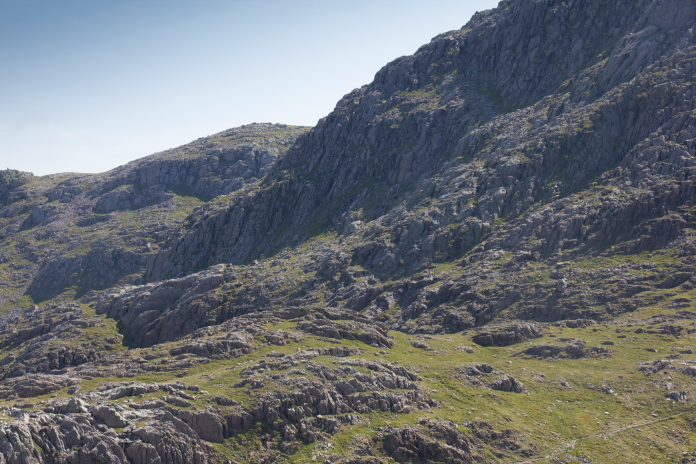
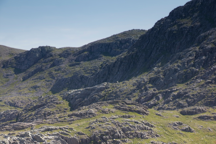
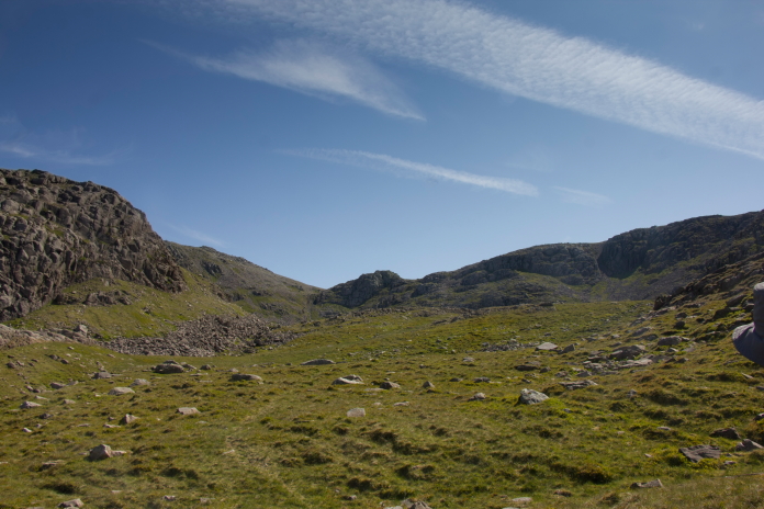
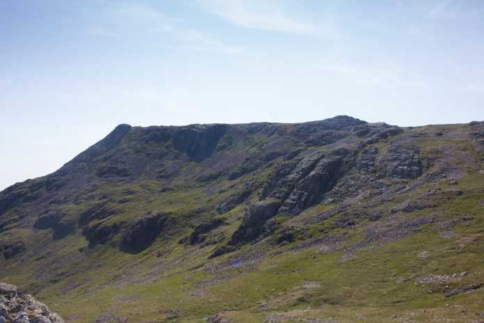
Some of the cliffs below Broad Crag,
approaching from below was definitely the better option.
above and next 6 photos:-Following the path down to Greta Gill.
As we reached the entrance to Greta Gill we met a group walking up to Scafell pike, they were without map or compass and were unsure of where they were and which way they needed to go to reach the summit. Luckily for them it was such a gloriously sunny day we were able to point out the paths on the mountainside that they needed to follow. We would be asked twice more during this walk for directions to the summit!
Although the most direct route, we didn't direct them up this path, instead we sent them off
up the path to the right that we had just walked down because that intersected the main tourist path,
then told them when they reached that to just turn left and follow the masses.
above and below:-Entering Greta Gill.
From a distance it looked like it could be quite difficult finding and reaching the Dominie crashsite, which it most probably would be if you descended to it from above, however walking into it from Greta Gill was surprisingly easy and to be honest a little disappointing challenge wise.
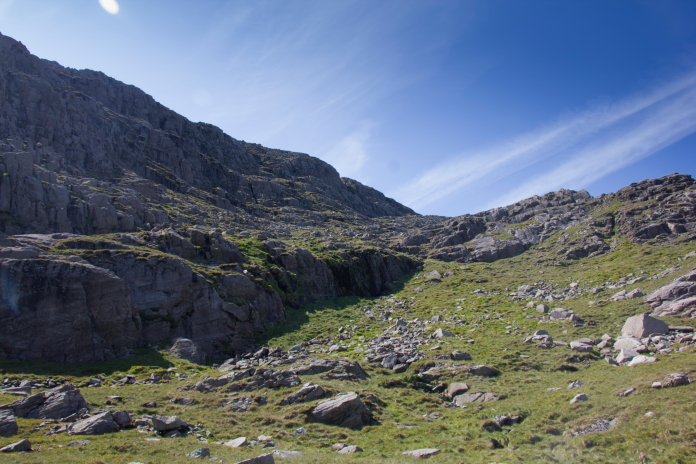
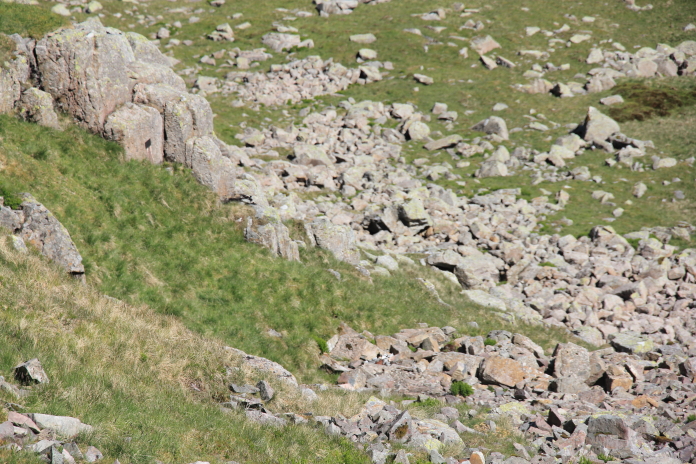
Almost at the site, there was no scrambling or rock climbing involved, just a bit of a grassy slope.
Above and below:- A couple of spectacular views to the north from Greta Gill.
The remains of DH Dominie X7394 lie amongst these boulders.
Above and below:-One of the Dominie's Gypsy Major engines.
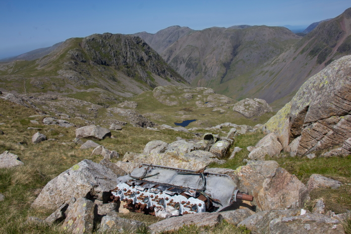
A little higher up the crags is the area where the Dominie met it's demise.
After photographing the remaining wreckage it was time to extricate ourselves from Greta Gill, we walked back downhill a short distance so we could see all our options before deciding to use the gully that ran up to the baelach between Ill Crag and Broad Crag although strictly speaking as we were in Cumbria it was a saddle not a baelach.
Descending back into Greta Gill from the site of the Dominie crash.
Looking for the easiest way out of Greta Gill onto Ill Crag.
Above and below:-Views back down into Greta Gill, the Dominie crashed around the corner to the left so to speak!.
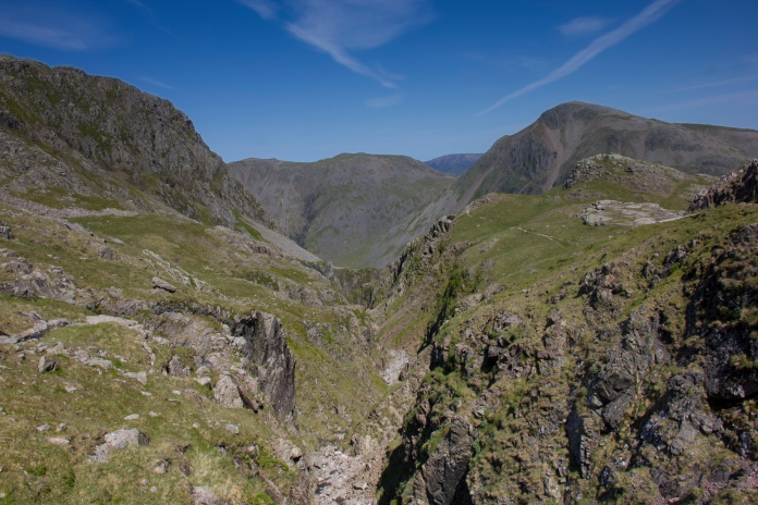
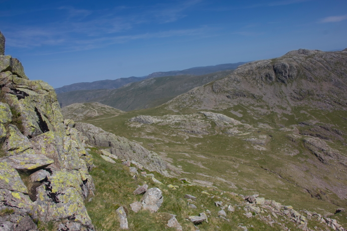
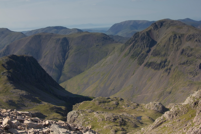
View north over Greta Gill to Great Gable.
above and below: A couple of photos looking along the ridge to Great End.
above and below:-Almost at the top of the gully.
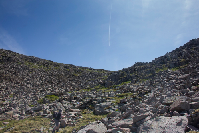
As I often manage to do we had tackled the steepest and hardest part of the walk at the warmest part of the day, so it was quite a relief when we emerged out of the gully onto another tourist path that is utilised by walkers approaching Scafell Pike from the east.
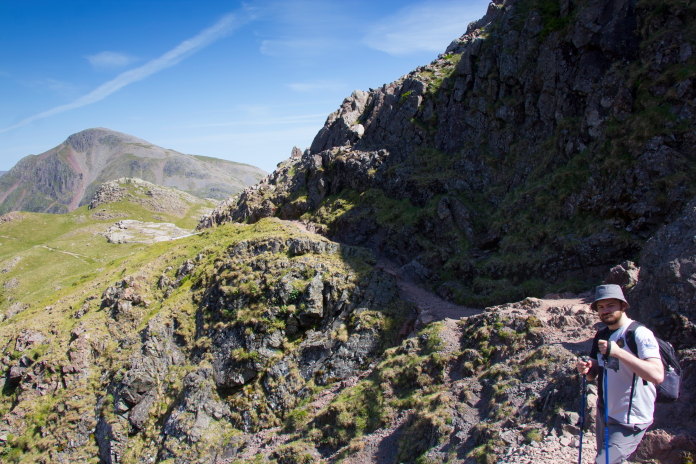
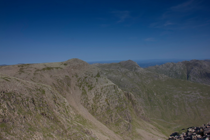
On the tourist path over the top of Broad Crag
and Ill Crag.
No sooner had we emerged from the gully on the north side of the path than we left it again and dropped down a gully on the south side. Stuart actually overheard two walkers on their way to Scafell Pike summit say "What the fu## are those two doing".
Above and below:-On the southern slopes of Ill Crag looking for pieces of Spitfire.
The southern slopes of Ill Crag were littered with boulders, small crags and rockfaces so I was worried that we might have a bit of a difficult search on our hands, but it turned out to be quite easy to locate thanks to a plaque attached to one of the small rockfaces that was placed there several years earlier by Aviation Historian and Author Dave Earl.
above and below:- I didn't initially spot any wreckage but was able to see the small Plaque that had been attached to a small rockface from quite a distance away.
There used to be a whole lot of this Spitfire remaining on Ill Crag including the Roll Royce Merlin engine but unfortunately this site had been extensively 'recovered' in 1996 with the aim of rebuilding the wreckage. Nothing seems to have come of this as is often the case with these so called 'recoveries'. Because of this there are only a few small scraps remaining at the site today.
Climbing back up to the top of Ill Crag.
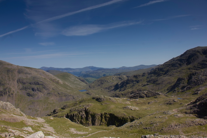
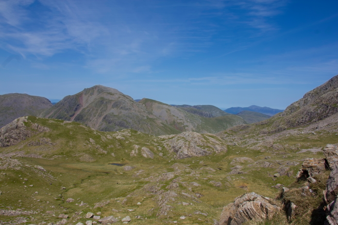
View over the crashsite of SL611 to our third objective of the day which lies beside the small hill in the middle distance.
Esk Hause with Esk Pike beyond. The third crashsite on our itinerary lies just the other side of the rock outcrop in the middle distance.
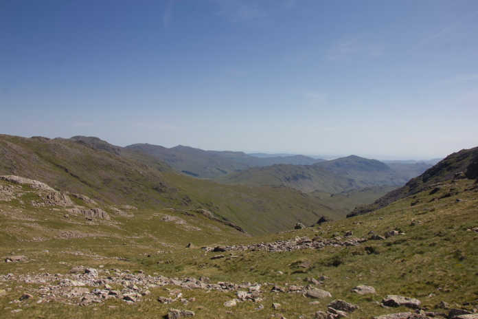
View down Eskdale from Esk Hause.
After flying up Borrowdale the Cherokee struck this rock outcrop and crashed in the foreground.
More crashsite photos. While walking over to Esk Hause from Ill Crag we were passed by a considerable number of fell runners, we also passed three Marshall Stations manned by Marshalls who were out monitoring the Fell race in case of accident or injury. After returning home and doing a bit of research into the circumstances of this crash I discovered the accident was discovered and reported by Marshalls of a Fell running Race.
 Above and below:-Two views of the
Spitfire crashsite on Ill Crag taken from Esk Hause.
Above and below:-Two views of the
Spitfire crashsite on Ill Crag taken from Esk Hause.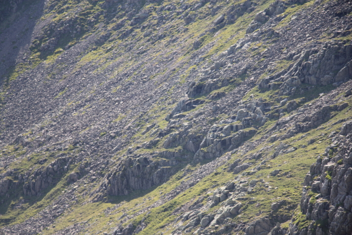 Once we'd finished photographing what was left at the Cherokee
site all that was left to do was walk back to the car. Trouble
is we were now quite a way down the wrong side of the highest
mountain in England, we could have walked around it but as I
had never been to the summit before we took the most direct
route which was back up and over the top.
Once we'd finished photographing what was left at the Cherokee
site all that was left to do was walk back to the car. Trouble
is we were now quite a way down the wrong side of the highest
mountain in England, we could have walked around it but as I
had never been to the summit before we took the most direct
route which was back up and over the top.
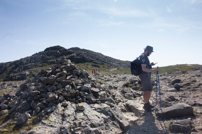
Stuart checking to see if he had a phone signal.
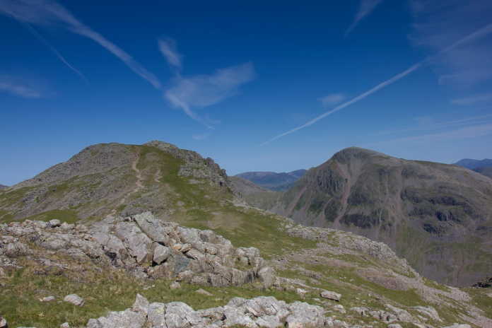
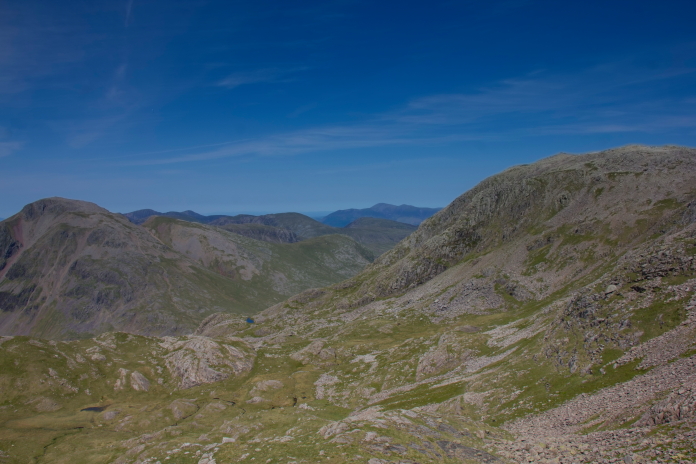
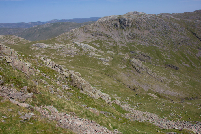
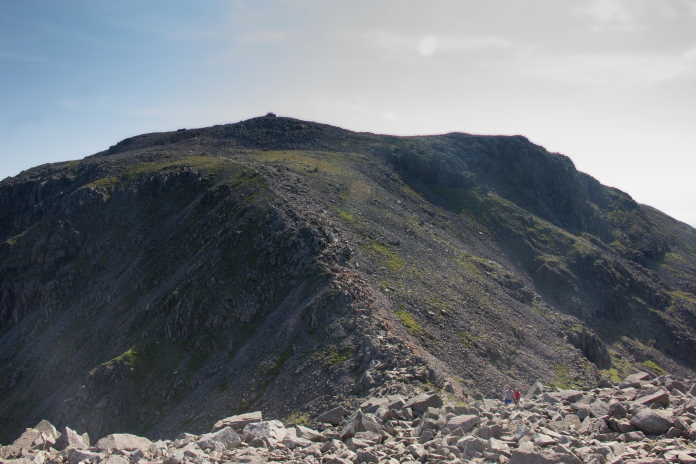
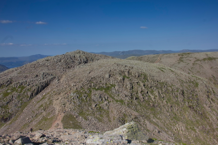
Back on Ill Crag with the summit of Scafell Pike off in the distance and Broad Crag to the right.
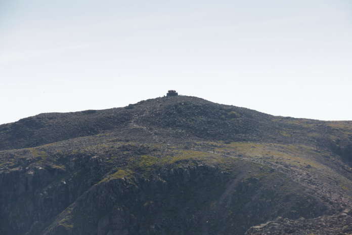
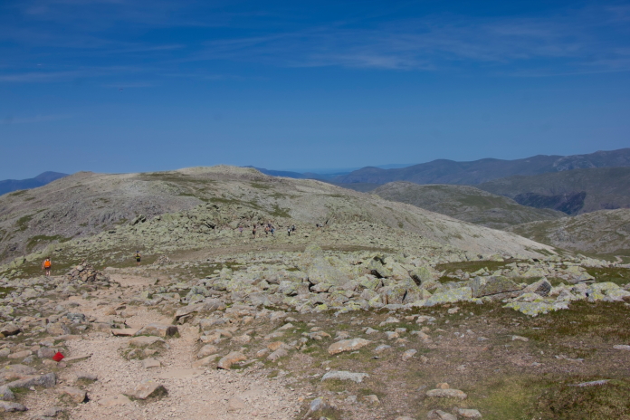
Zoomed in on the summit of Scafell Pike, notice the large amount of people standing on the summit cairn. Earlier in the day there was actually a queue waiting to get on there.
Another view north as we pass above Greta Gill again. As we were negotiating a large boulder strewn area on Broad Crag the path became a little indistinct so we followed three walkers we could see in the distance, as we overtook them we realised they had lost the path, so we turned right and walked uphill until we found it again. We were about to shout on them but luckily they had already decided to change course and follow us because if they'd continued on their trajectory they would have encountered some quite large cliffs.
Skirting around the summit of Broad Crag on our approach to Scafell Pike summit. The three walkers can be seen ahead.
Quite a daunting looking drop off followed by a steep ascent to Scafell Pike.
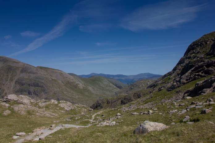
Looking down to Lingmell in the middle distance and the path we had followed earlier to Greta Gill.
On the final very steep ascent to the summit.
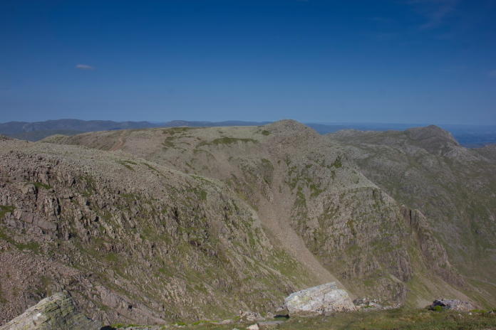
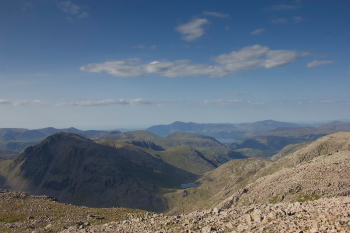
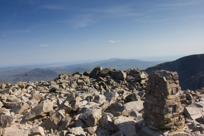
 above and next 7 photos:- Some views from the Summit of
Scafell Pike.
above and next 7 photos:- Some views from the Summit of
Scafell Pike.
 Now I had visited Scafell pike summit I could claim I'd
completed the 3 Peaks Challenge, but unfortunately I'd
narrowly missed out on the 24 hour time limit. I climbed
Snowdon first while at a Boys Brigade camp during the school
summer holidays of 1976 and had been to Ben Nevis's summit a
couple of times in the interim years, so as I reached Scafell
Pike summit on 3rd June 2023 at 7:10pm it had taken me just
under 47 years to complete.
Now I had visited Scafell pike summit I could claim I'd
completed the 3 Peaks Challenge, but unfortunately I'd
narrowly missed out on the 24 hour time limit. I climbed
Snowdon first while at a Boys Brigade camp during the school
summer holidays of 1976 and had been to Ben Nevis's summit a
couple of times in the interim years, so as I reached Scafell
Pike summit on 3rd June 2023 at 7:10pm it had taken me just
under 47 years to complete.
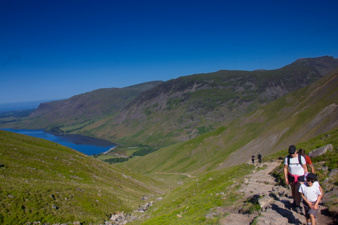
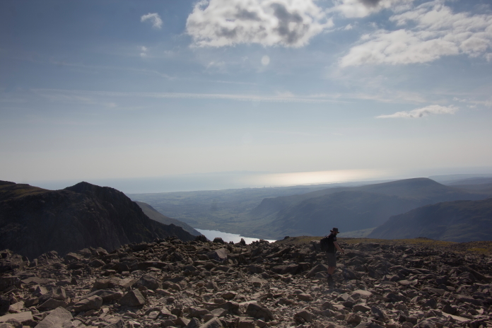
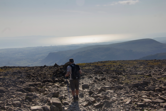 above and next 5 photos:-Descending back down the tourist
path after a cracking days hillwalking.
above and next 5 photos:-Descending back down the tourist
path after a cracking days hillwalking.
*---Expedition to Scafell.