Wink, wink!.
Bristol Blenheim L1252 on Staple Moss
(Distance covered =
6.95 mile/Ascent =+369m)
Another trip down to the Pennines to finish off a walk I'd started a couple of weeks earlier but had to cut short because of the weather.
Not too long a walk this one so I decided to extend it a bit by going off to check out a waterfall that was marked on the map; but first I needed to find the crashsite of a Bristol Blenheim that had actually crashed just before the second world war in 1938.
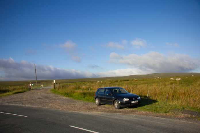
Parked up on the side of the B6276
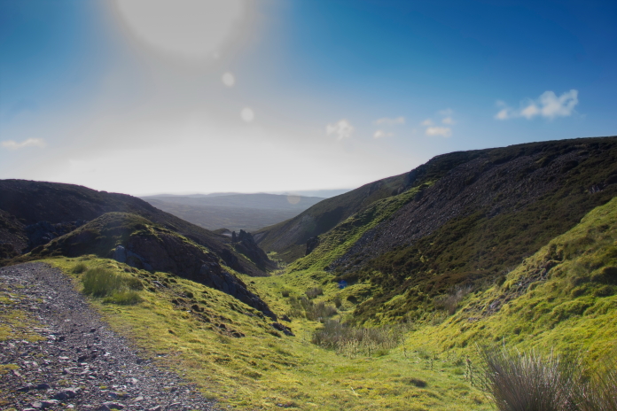
My original route a few weeks earlier had been to the Stirling crashsite on Mickle Fell then walking east to the Blenheim on Staple Moss, after that I was going to walk down a public path that ran above Hargill Beck down to the B6276. Today, because of difficulties parking at the end of the Hargill Beck path I chose to park a mile or so to the west and walk in along some landrover tracks instead.
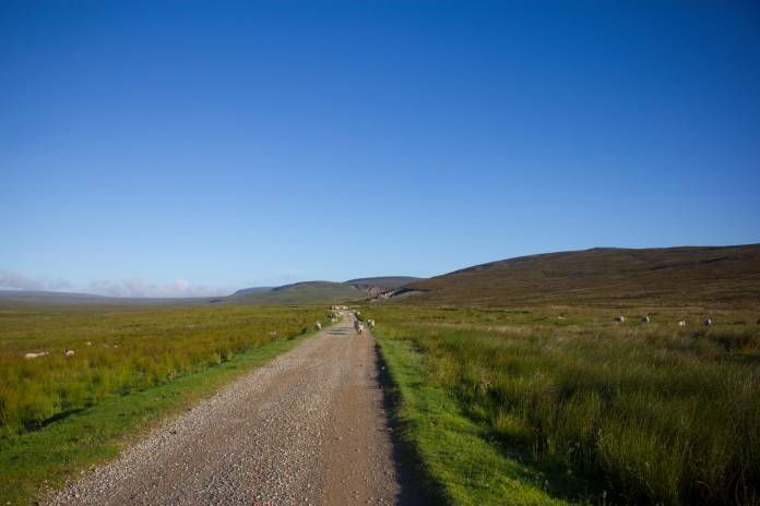
above and below:-Good landrover tracks heading towards Closehouse Mine.
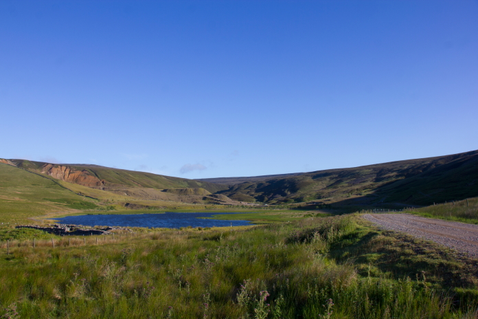
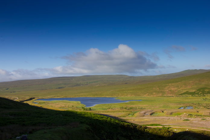
Although the route along the landrover tracks was longer it was easy going and passed some interesting things on the way including Fish Lake; which you would presume had to be full of fish, and Closehouse Mine.
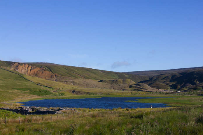
above and below:-Fish Lake.
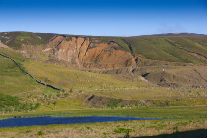
Closehouse Mine.
Fish lake and the surrounding area is not open access land so on reaching a gate at it's southern end I of course didn't continue a couple of hundred metres to another landy track that branched off to the right back into open access land and went up the side of a hill called Standards. Instead I of course hopped over the fence so I was out of the private land and walked along the other side through the quite deep heather and bracken to reach the other track!
above and below:- Fish Lake from the base of Standards, the other side of the fence in the foreground above is private land.
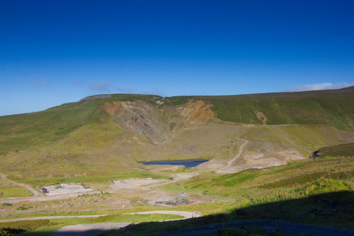
Nice view across to the now disused Closehouse Mine.
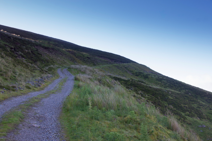
Steep path up the side of Standards.
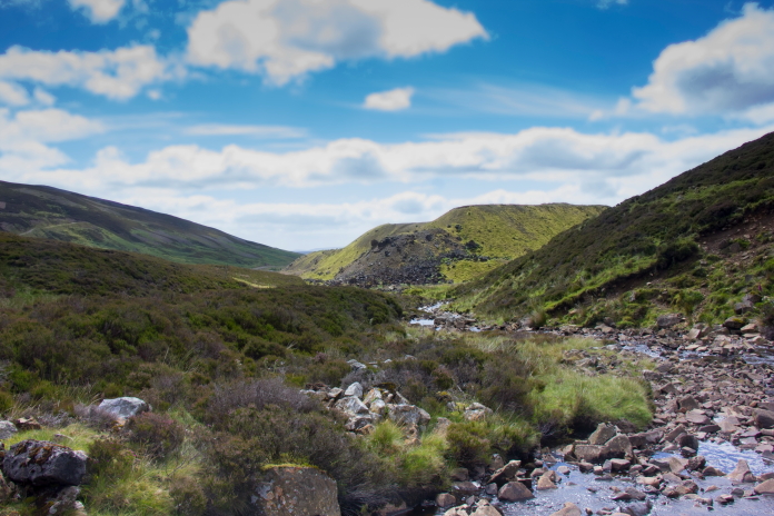
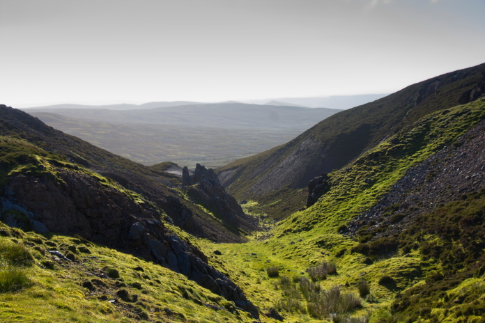
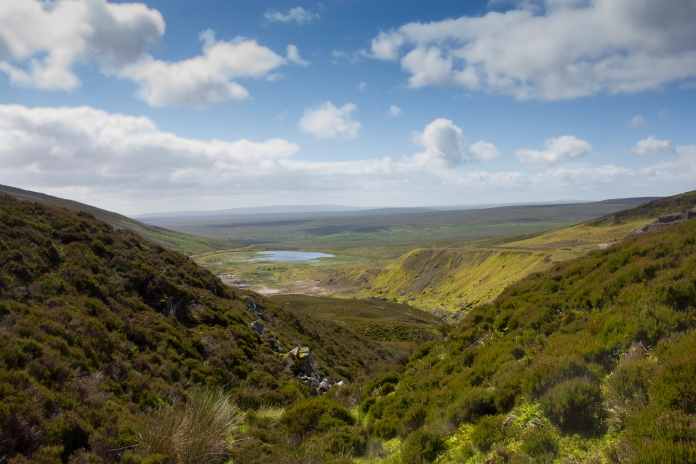
Just up thet gully somewhere is Arngill
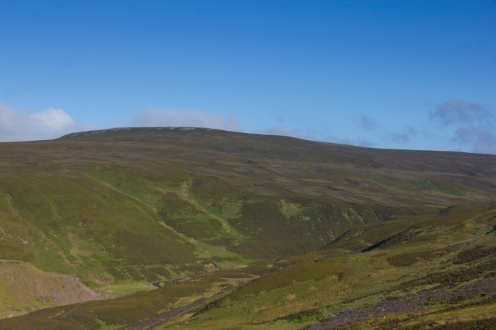
Force Waterfall. In the distance is the eastern flank of Mickle Fell.
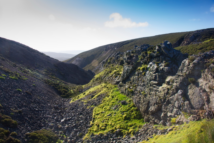
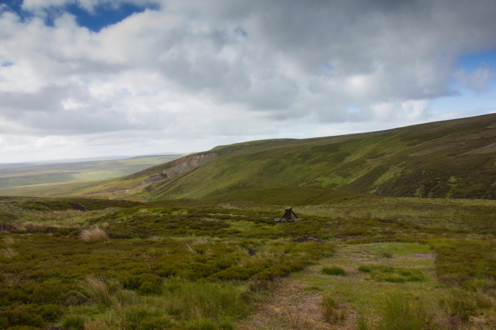
At the top of the path up the side of Standards were some impressive crags and gullies called Standard's Shap, one of which provided me with some shelter from the quite stiff breeze that had manifested itself once I'd reached the top of the hill. Out of the chilly breeze it was quite pleasant so I sat in the sunshine for quite a while and enjoyed some breakfast.
above and next 2 photos:-Standard's Shap.
From Standard's Shap it wasn't too great a distance along a track which passed some shooting butts. The track was constructed out of a mixture of plastic sheeting and duck boards presumably to prevent vehicles from becoming stuck in the soft peat. The Blenheim wreckage was not far at all from this track.
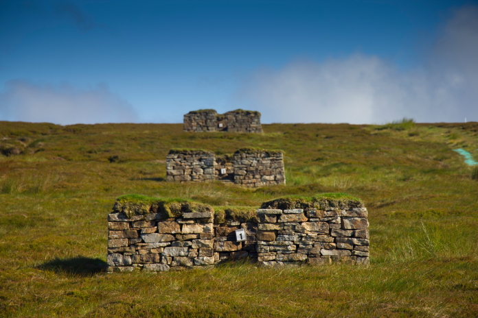
Shooting Butts no 1.2 and 3
on Staple Moss.
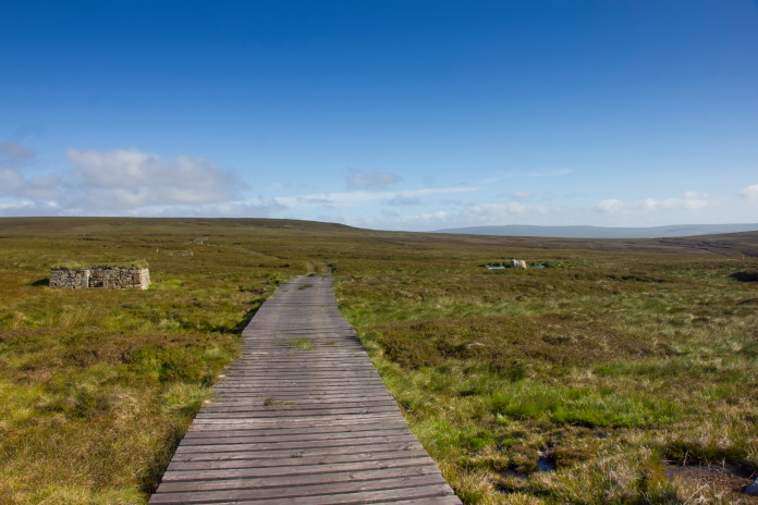
A duck boardy bit. The Blenheim remains lie
over to the right.
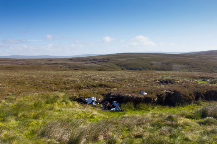
Some of the remains of L1252 on Staple Moss.
More wreckage photos. After having a bit of a search around for bits of Blenheim I decided I'd found everything that there was to be found so headed off to the west to see if I could find the waterfall that was marked on the ordnance survey maps.
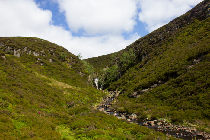
Heading over Staple Moss towards Arngill Force.
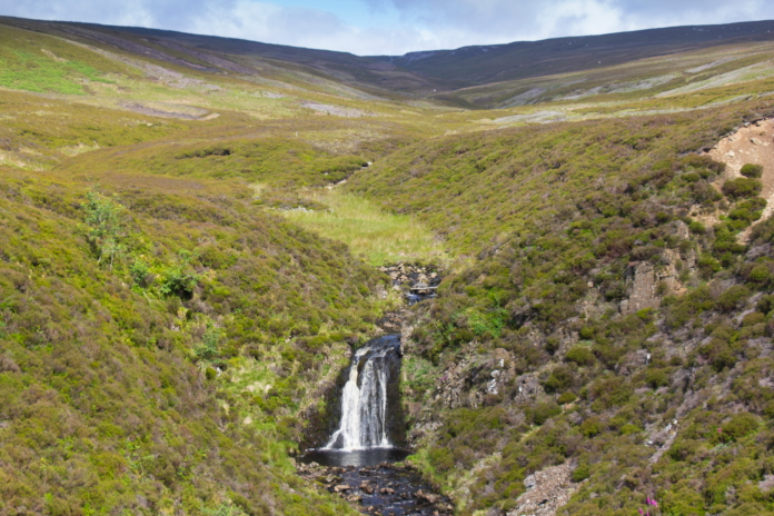
A nice waterfall but is it Arngill Force?
Let's have a look down here!
There it is.
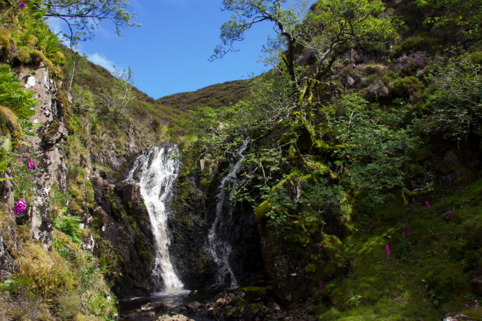
Arngill Force, because of it's location it isn't overun by tourists and litter.
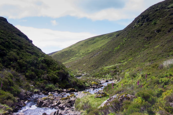
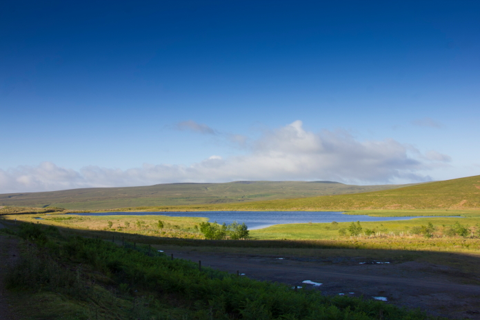
above and below:-Back down the Arngill Beck to Closehouse Quarry and Fish Lake.