
The Curse of the Happy Birthday
Balloon
Supermarine Spitfire R6606
(Distance covered =
10.5 mile/Ascent =+370m)
I'd been given a grid reference for a Spitfire crashsite to check out in the Pentland Hills. A Highland Dancing Championships in the Meadowbank Stadium in Edinburgh gave me the opportunity I needed.
An Aviation Archaeology expert once told me that after 70+ years all the crashsites with something visible on the surface had most probably already been found. As the Spitfire crashsite I was going to look for hadn't already been found, the chances were high that I wouldn't find it either, but it looked like it would be a nice walk so off I went!
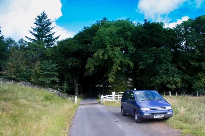 Parked up near
Baddinsgill Farm.
Parked up near
Baddinsgill Farm.
As well as looking like it might be a nice walk it also looked like it might be nice weather as I parked up near Baddinsgill Farm and set off walking. I passed a couple of locals as I walked along the metalled road through the farm so I asked them if they'd ever come across or heard of anybody finding any Spitfire wreckage in the area but although interested that a Spitfire had crashed in the nearby hills they knew nothing.
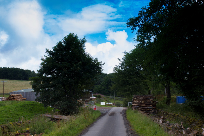
Approaching Baddinsgill Farm and Lumbar
Mill.
There is some car parking spaces marked out at the entrance to the Lumbar Yard but not knowing that I had parked about half a mile back down the road beside a cattle grid. The road continued until it reached some cottages at the southern end of Baddinsgill Resevoir where it was replaced by a rough gravel track.
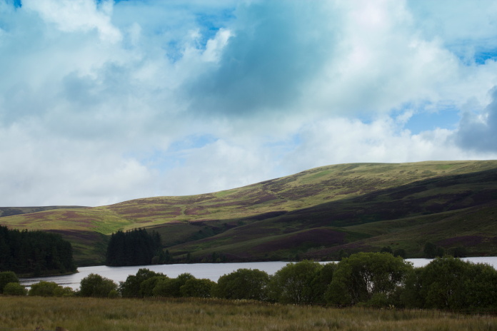
Baddinsgill Resevoir with Grains Head beyond.
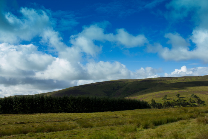
Past Baddinsgill resevoir, the track is also the route of the 'Thieves Road' and 'Cross Borders Drove Road' footpaths.
I wasn't on the Thieves Road very long before I took a left turn onto a nice grassy track that contoured around the southern end of Muckle Knock before turning to the north west and heading straight for West Cairn Hill.
Byrehope Mount taken from the junction where
I turned left on the Thieves Road.
View down the Baddinsgill Burn towards Baddinsgill Farm.
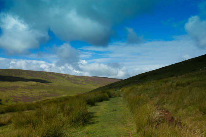
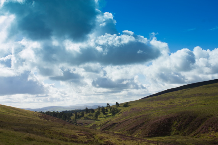
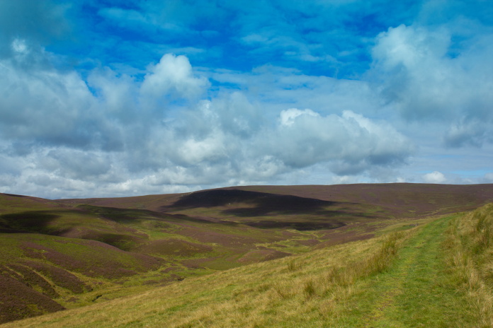
above and next two photos:-Contouring around Muckle Knock.
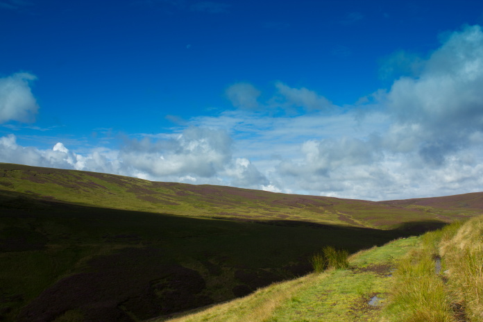
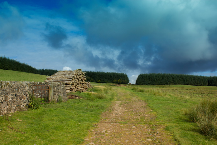
According to my map the grassy track I was now following didn't go all the way to the top of West Cairn Hill but stopped about a mile short of the summit, that didn't make any difference to my walk as I needed to leave the track about half a mile before it's terminus and head west towards Wolf Crags once I reached an enclosure that contained a ruined farm building.
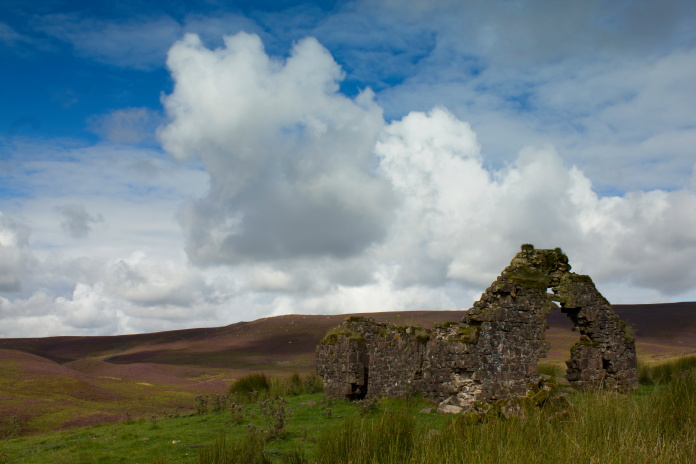
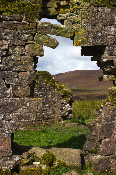
Above and below:-The ruin with White Crag Hill in the distance, Wolf Crags is up the head of the Glen on the far left.
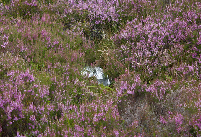
Despite having a good search around the grid reference I had for the Spitfire crash I found absolutely nothing, and one 'Yahoo I've found it' moment was scuppered when I approached what looked like a piece of metal lying in the heather to find it was nothing more than a deflated happy birthday balloon. That had happened to me before when searching for a crashsite on Limestone Know near Carter Bar, and it would happen again when visiting a Tornado crashsite in Glen Kinglass*.
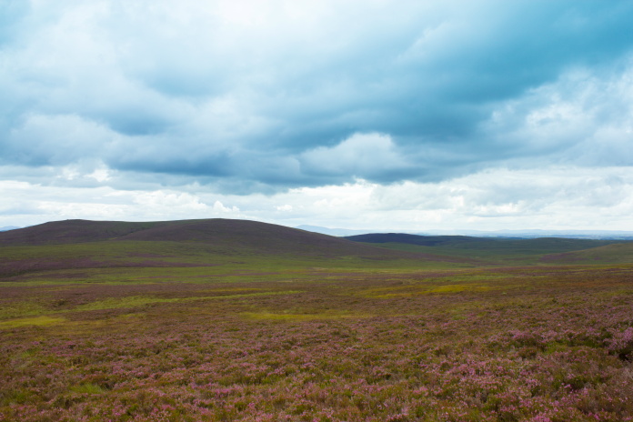
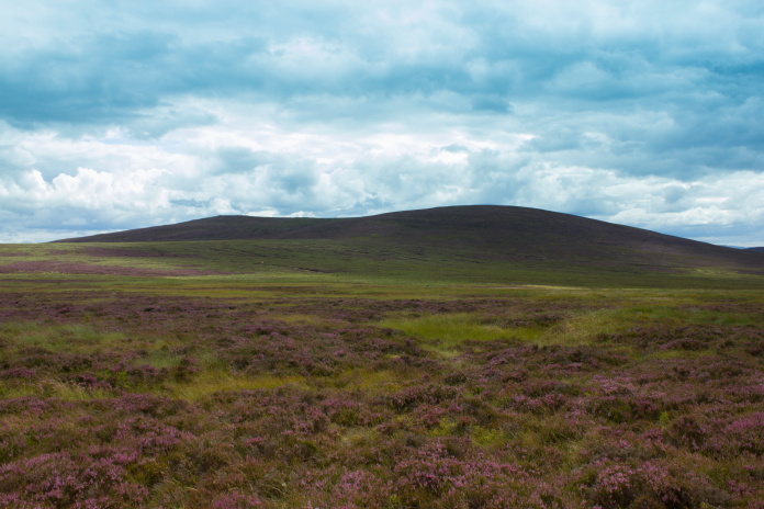
Above and below:-Area near Wolf Crags where the grid reference I had put the crashsite. There was nothing to be found on the surface here.
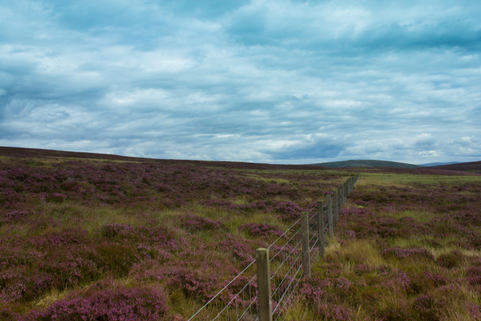
General consensus seems to be it's over in that direction somewhere on the other side of a boundry fence which intersects this one.
Above and below:-Depression in the ground where I spotted what looked like a piece of metal but turned out to be a deflated happy birthday balloon.
My two predictions had turned out to be correct, I didn't find any sign of the Spitfire crashsite but it had been a very nice and enjoyable walk so I wasn't too dissapointed. It also means I've got somewhere to go next time Heather's at a competition in Edinburgh so I can have a search further to the east.
