A Sneaky Peak.
Consolodated B-24 Liberator 42-52003 on Mill Hill.
North American F86 Sabres XD707 and XD730
on Kinder
Scout/Black Ashop Moor
(Distance covered = 7.5 mile(map) 12.5 mile(fitbit)/Ascent = +445m)
Heather had entered the first Highland Dancing Championships of 2018. As this championships was the 'South Florida' Championships her and her mam were flying over to Florida to spend the week, and they wanted me to drop them off at Manchester Airport. Just along the road from Manchester Airport is the Peak District, so I saw an opportunity to sneak in some wreckhunting in an area I'd never previously visited.
Blueberry Esmerelda Muffin II was suffering from a dodgy clutch so we had to travel down to Manchester in Heather's car. After passing her driving test Heather had started using our son's old Saxo. Previously known as the 'Fag Wagon' it had now been renamed 'Sid' by Heather.
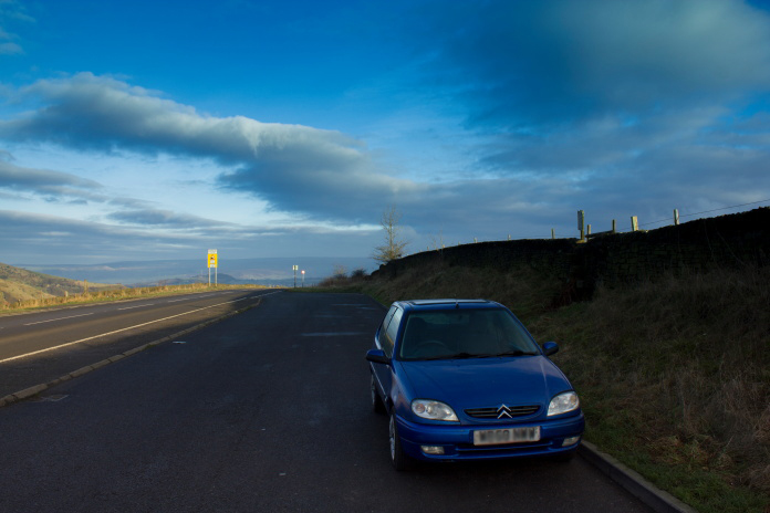
Sid the Saxo parked in the very large layby on the
A624 near Chunal.
As it was only the second week of January I
wasn't confident that the weather was going to be kind so I planned several
routes, ranging from the easiest which was only a couple of miles to one
which was over 12 mile, then when I got down to Manchester I could decide
which route to do depending on the weather and if there was any snow on the
higher ground.
After dropping the girls off at the Airport
I estimated it was going to
be about 10:30am by the time I drove over to the start of my walk, so
although the weather was nice I couldn't do one of the longer walks as I
only had about six hours before it became dark so I opted for a walk of
about 7 mile.
Walking across Chunal Moor, certainly didn't expect sunshine!
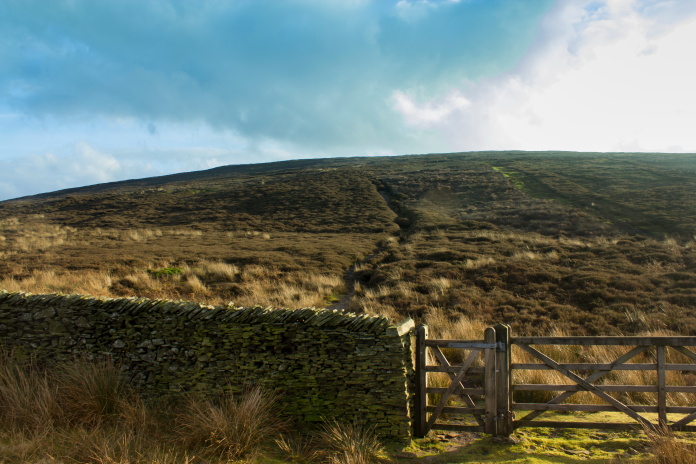
After parking in a massive layby on the A624 just north of the Grouse Inn I set off across Chunal Moor towards a hill called Harry Hut. There was a nice well used footpath to follow and after passing Harry Hut this path joined another one coming up from Hollingworthhead Farm which was paved.
above and below:-Approaching Harry Hut
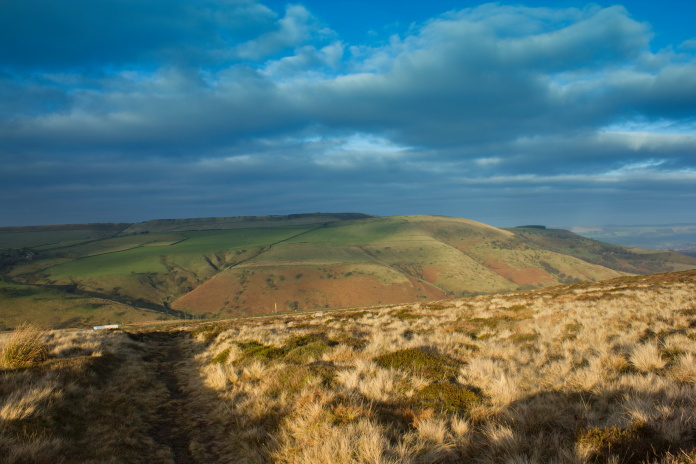
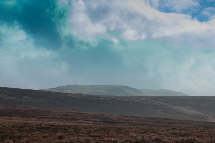
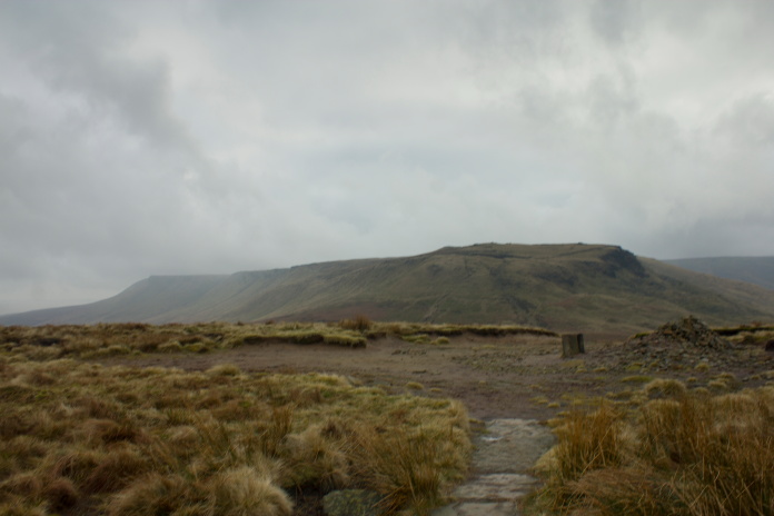
On the summit of Harry Hut. Mill Hill is on the skyline just right of centre and Kinder Scout is to the right of that off in the distance.
Kinder Scout. The two Sabres flew in from
right to left, hit the Kinder summit plateau on the right side with debris ending up
scattered over the top and down to the bottom of the left side.
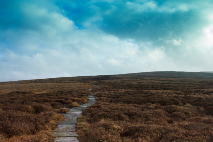
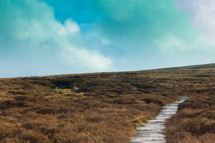
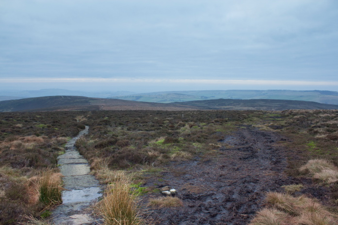
On to the pavement, nearly to Mill Hill.
There wasn't much navigating involved in reaching the first crashsite of the day as it lay just feet from the nice paved path I was now following. It also wasn't too great a distance so I reached it in well less than an hour.
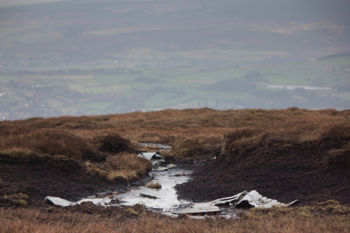
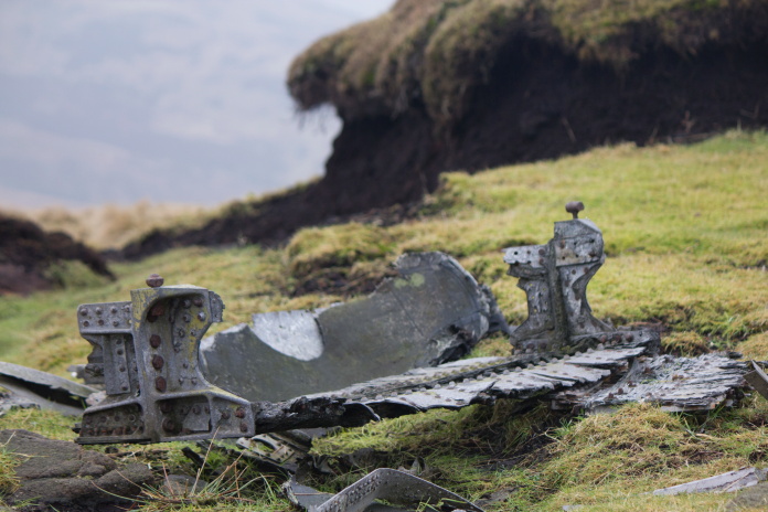
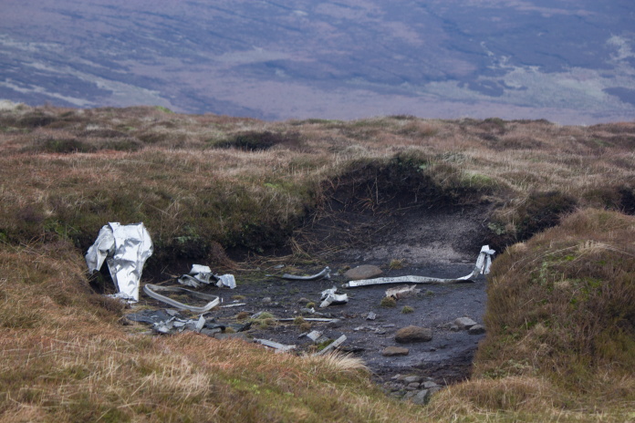
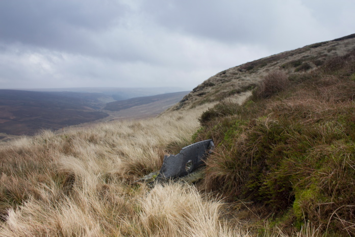
above and below:-Pieces of B-24 lying in a gully right next to the path to Mill Hill.
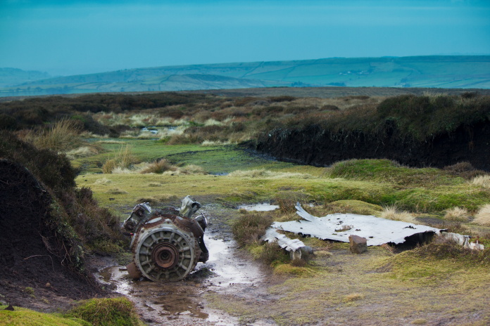
The remains of an engine and some chunks of wing lie in a gully right next to the path and about 100m away is another larger area of debris where there is a large lump of wing and the remains of two more engines. All of the cylinder heads were missing from the engines, some may have corroded and fallen off but as there was none lying nearby by it's more likely the work of the magpies.
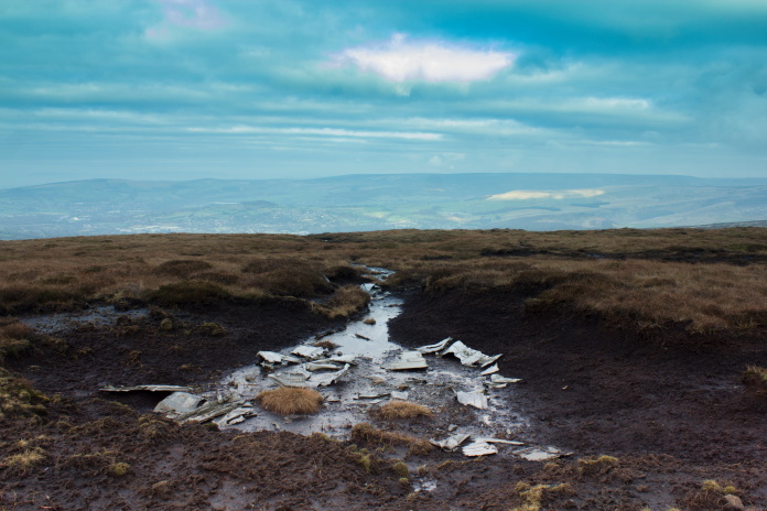
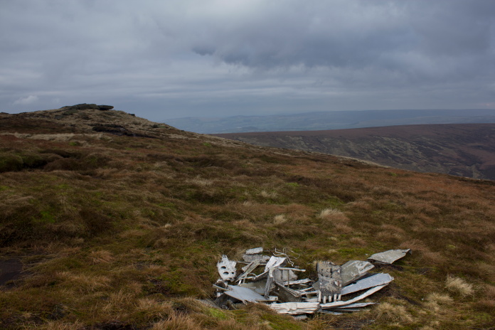
Above and below:-Large scar on Mill Hill containing bits of B-24.
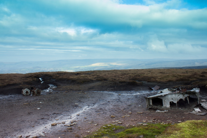

Big lump of wing with remains of an u/c leg.
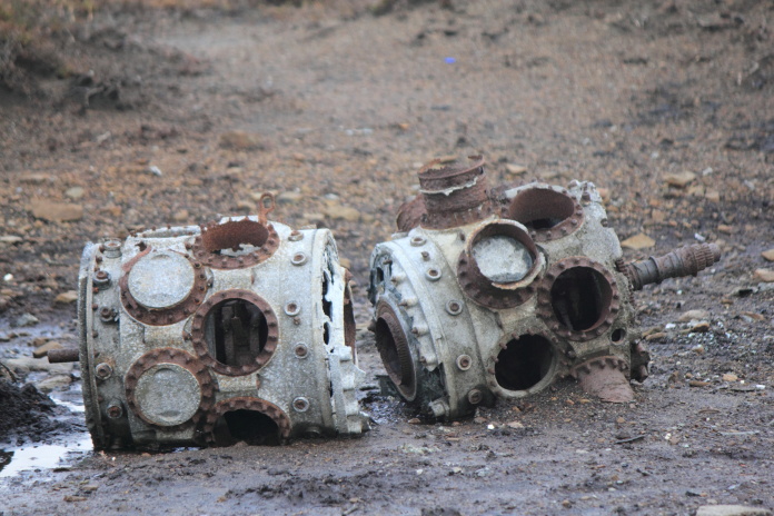
Two very 'stripped' engines.
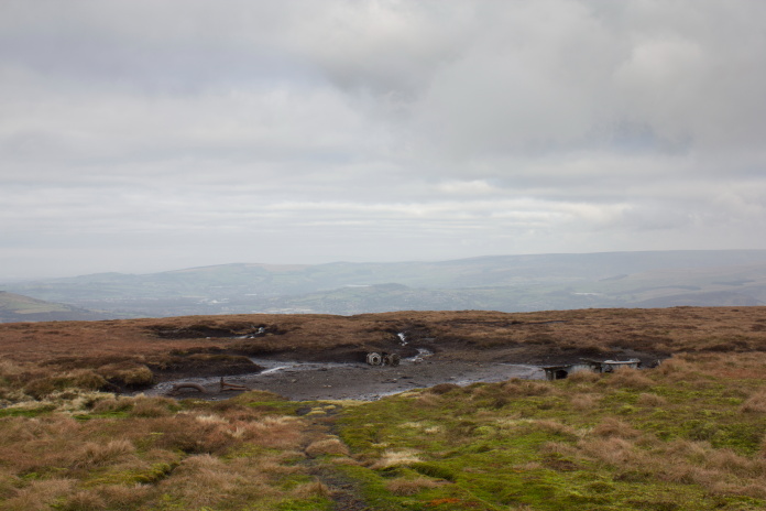
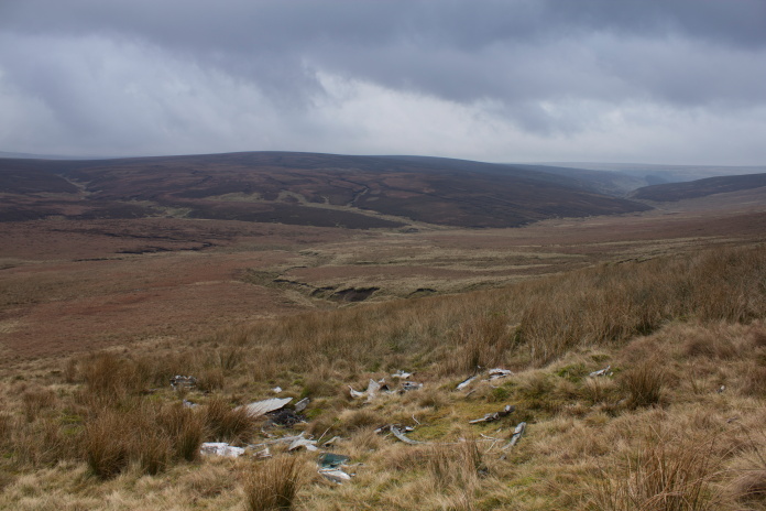
Above and below:-A smaller area of wreckage near the large crater.
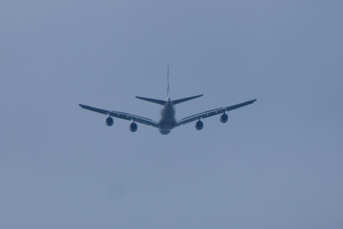
This A380 came close to knocking me hat off!
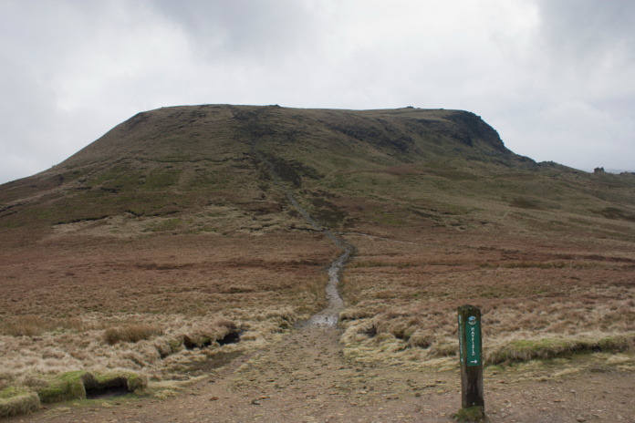
After visiting the B-24 crashsite I rejoined the nice paved path and followed it to the top of Mill Hill where it joined the Pennine way before continuing up and over the western end of the Kinder Scout summit plateau. This path as it goes over the summit plateau also passes very close to the spot where some pieces of the two Sabres are to be found.
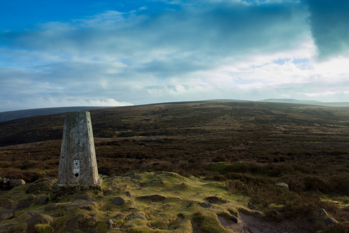
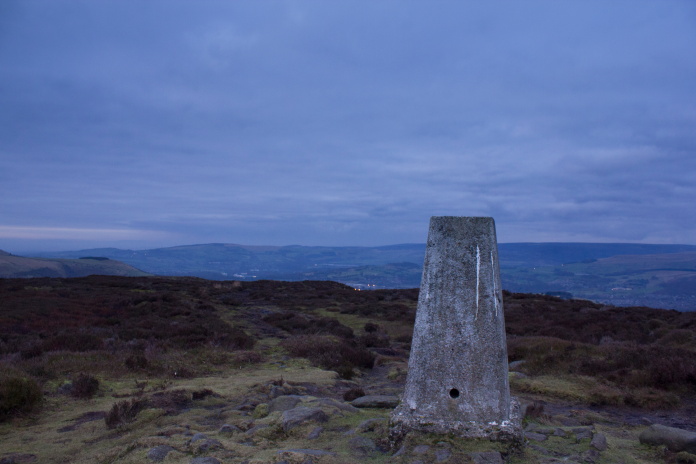
The summit of Mill HIll and the Pennine Way
with the Kinder Scout plateau in the distance.
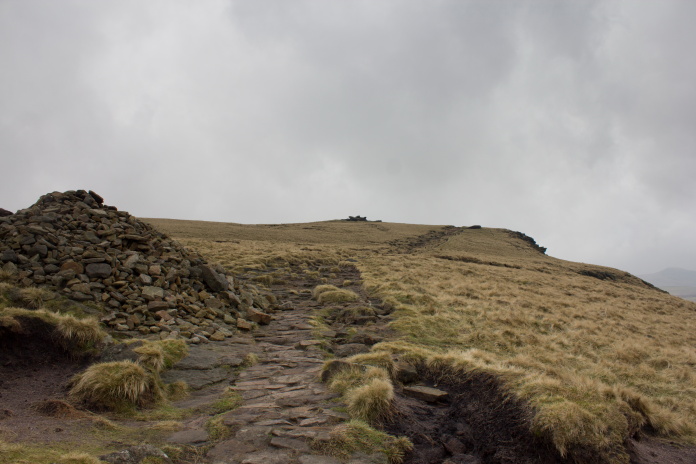
A short steep haul up onto the top of Kinder Scout.
On top of Kinder Scout.
Above and below:-This piece of Sabre is very close to the Pennine Way on the top of Kinder Scout.
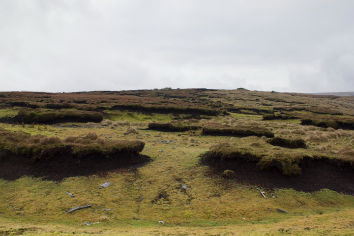
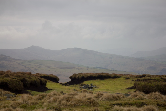
Above and below:- The peat hags to the north of the Pennine Way are littered with fragments of the two Sabres.
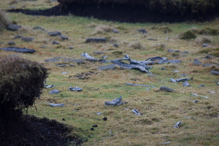
Bits of wing, wreckage is scattered
for some distance in a northerley direction from the Pennine Way across
the summit plateau and down onto Black Ashop Moor.
Very handy should you get lost up here!
Above and below:-two areas of wreckage nearer the northern edge of the summit plataeu.
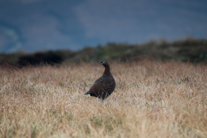
Random bit of wildlife photography.
Above and below:-Two more areas of wreckage on the northern edge of Kinder Scout
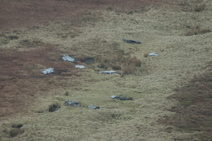
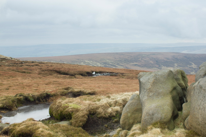
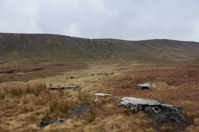
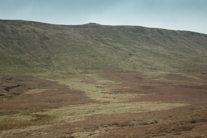
Large pieces of both Sabres lying on Black
Ashop Moor, taken from the top of Kinder Scout with my zoom lens.
Above and below:- Descending down onto Black Ashop Moor from Kinder Scout.
Another area of wreckage on the slope below Kinder Scout.
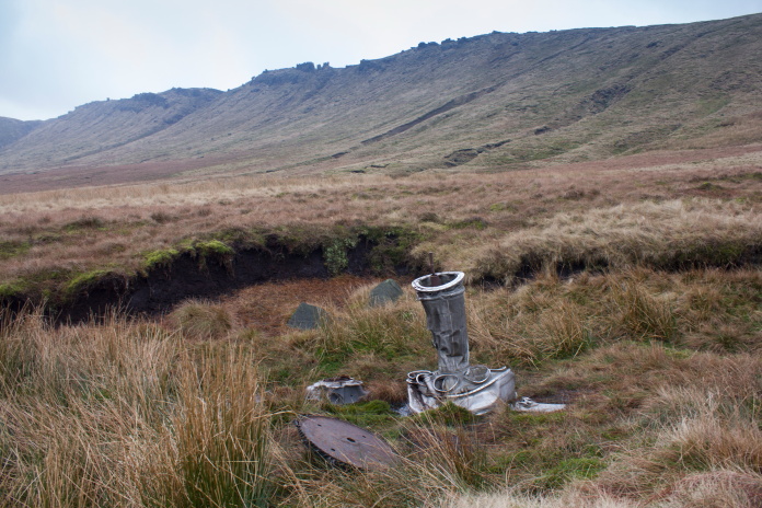
Remains of a jet engine from one of the
Sabres.
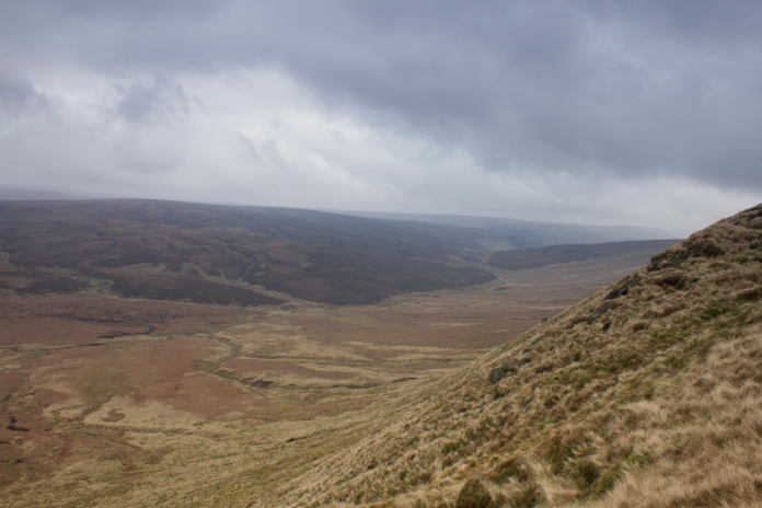
Looking back along the direction of the trail of wreckage which starts on the other side of the
high ground in the background.
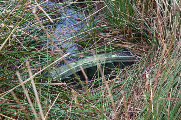
Remains of the engine from the second Sabre, almost buried and well hidden in some reeds. It is about 1km
away from the first piece of Wreckage I found beside the Pennine Way.
As usual it had taken me way too long hunting around finding and photographing the myriad of pieces of Sabre that were scattered far and wide, so by the time I came across the engine from the second Sabre, lying almost buried about 1km away from the first piece I had found; it was highly likely that I would end up walking some of the way back to the car in the dark. At least though I didn't have to go back up onto the top of Kinder Scout as the second Sabre engine was not far away from another path called the 'Snake Path' which I could follow west to where it intersected the Peninne Way between Kinder Scout and Mill Hill.
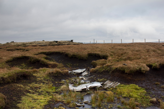
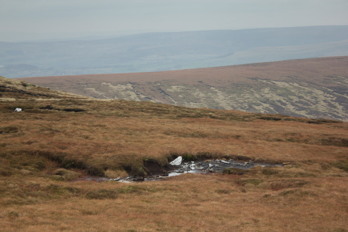
View of the pieces of Sabre on Black
Ashop Moor taken from the
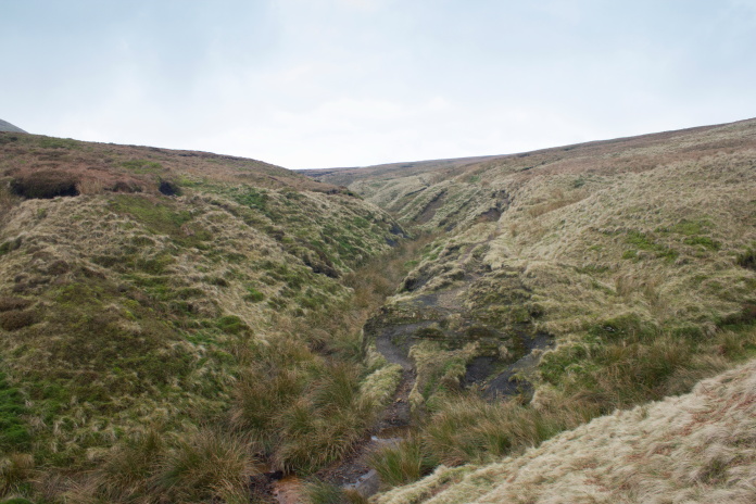
Snake path which runs alongside Ashop Cleugh to the south of the wreckage.
After being caught out in the pitch black before on the aptly named Black Fell in Cumbria* I had acquired a headlamp (a lamp you wear on your head not one from a car)which I now carried in my rucksack in case I ever found myself in that situation again. Therefore I wasn't worried about it becoming dark so was in no real hurry and stopped for some bait in a sheltered spot on the snake path.
I was however pleased to be past this section of the snake path
before
it became dark.
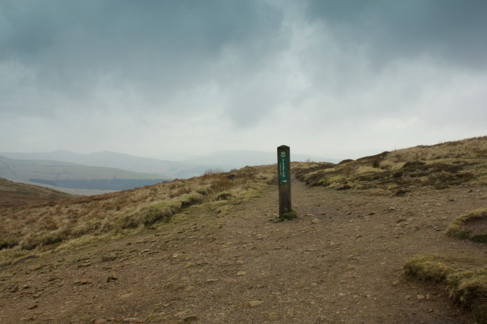
Where the Snake Path intersects the Pennine Way, very easy going
from here all the way back to the car, even if it did get dark.
As I was walking along the paved path back over Mill hIll I noticed a small memorial plaque attached to a rock adjacent to the B-24 wreckage, I didn't have my reading glasses so couldn't make out what it said so thinking it was to do with the crash I took a photo. It was actually placed there in memory of a member of the Peak District Mountain Rescue team who had died at that spot while on his way to help someone who was in trouble, so well worthy of a mention anyways!
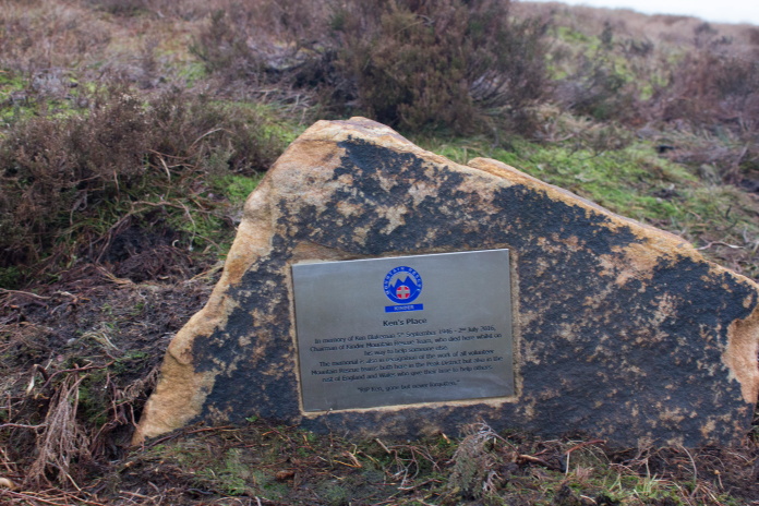
The plaque reads:-
Ken's Place
In memory
of Ken Blakeman 5th September 1946 - 2nd July 2016,
Chairman of Kinder
Mountain Rescue Team, who died here whilst on his way to help someone
else.
The memorial is also in recognition of the work of all volunteer
Mountain Rescue Teams both here in the Peak District but also in the rest
of England and Wales who give their time to help others.
"RIP Ken,
gone but never forgotten."
I cheated a little here, on the way out I placed three stones where the path
from the carpark met the paved path from Hollingworthhead Farm, so that I wouldn't miss it if the weather was shitty on the way
back!
I was back onto Harry Hut on the way back before the light started to fail noticably so I wasn't going to need the help of my new headlight. I had however been able to utilise another device I had recently acquired, a fitbit. According to the fitbit by the time I arrived back at the car I had done 25,000 steps and covered 12.5 mile, 5 mile more than the distance I worked out the walk had covered using a map, this is because the fitbit was counting all the numerous diversions to check out bits of wreckage or to avoid boggy ground or going up and over or around peat hags etc, probably much more accurate than working it out on a map.
Back onto Harry Hut.
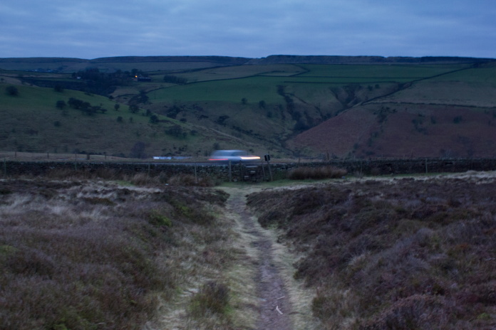
I was back at the car at 4:30pm, just as it became dark, so I was able to make use of my new headlight after all to see what I was doing as I got changed. I then had the 3 hour drive back home to look forward to but as I'd had such an enjoyable walk and because the weather had been so kind I decided to head down to the Edale Valley instead, sleep in the car, and set off really early for another sneaky walk the following day**.