Another Sneaky Peak.
Handley Page Heyford K6875 on Broadlea Bank,
DH
Dragon Rapide G-ALBC on Edale Moor, Avro Anson N9853
on Edale Moor, Vickers Wellington W5719
at Grindsbrook Cleugh,
Vickers Wellington X3348
and
Handley Page Halifax HR727 nr Ringing Roger
(Distance covered =
10.0 mile(map) 17.5 mile(fitbit)/Ascent =+780m)
Heather was dancing in the Central Florida Highland Dancing Championships, so when they told me I had to drop them off at Manchester Airport at 8-00am on a Friday morning I hatched a plan to go for a walk in the peak district before driving home.
I don't get the opportunity very often to visit the Peak District, in fact I should say I've never had the opportunity to visit the Peak District. So after dropping Heather and her Mam off at Manchester Airport I had an opportunity and decided to make the most of it. After having a very enjoyable walk to visit the crashsites of a B-24 and two F86 Sabres* I decided not to drive home but instead catch some zzz's in the car then set off really early the following morning for another walk.
At the base of Broadlee Bank looking back to Upper Booth.
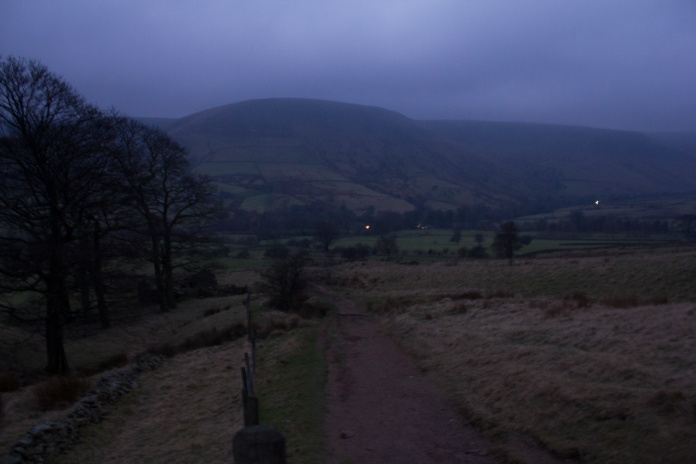
I set off so early on Saturday morning that I was 1.5 mile into my walk before it became light enough to take any photos. Because it was so early it was also very very cold, because of this I was very reluctant to leave Sid the Saxo as I was quite warm and cozy thanks to Heather leavng a couple of blankets in the car which she'd fetched along in case she wanted to have a sleep on the way to the airport.
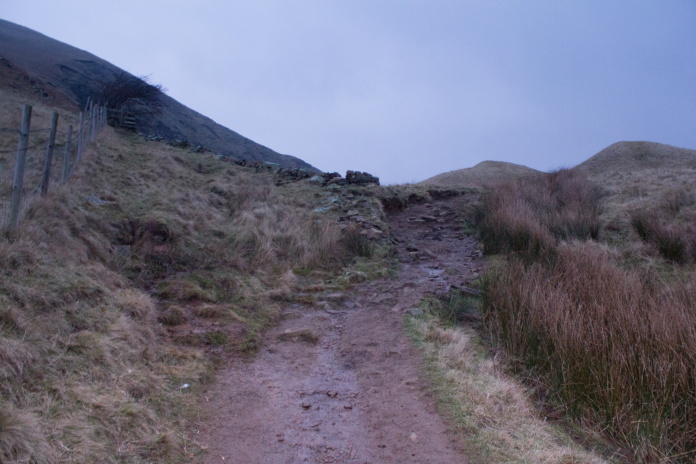
Once I turned left at this wall it was straight up the side of Broadlee Bank.
The first crashsite on my itinerary was less than two mile from where I'd parked the car but to reach it I had to gain almost all of the altitude involved in my route, and most of it was in the space of a quarter of a mile. This did have the benefit of getting me nice and warmed up again.
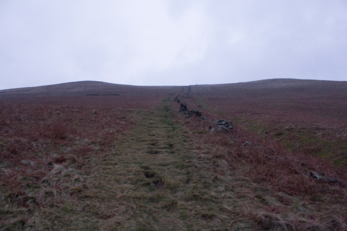
A bit of a steep climb up onto Broadlee Bank.
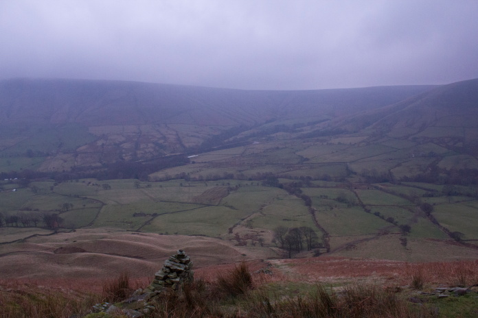
Halfway up, the car is parked in the trees halfway up the left side of the photo.
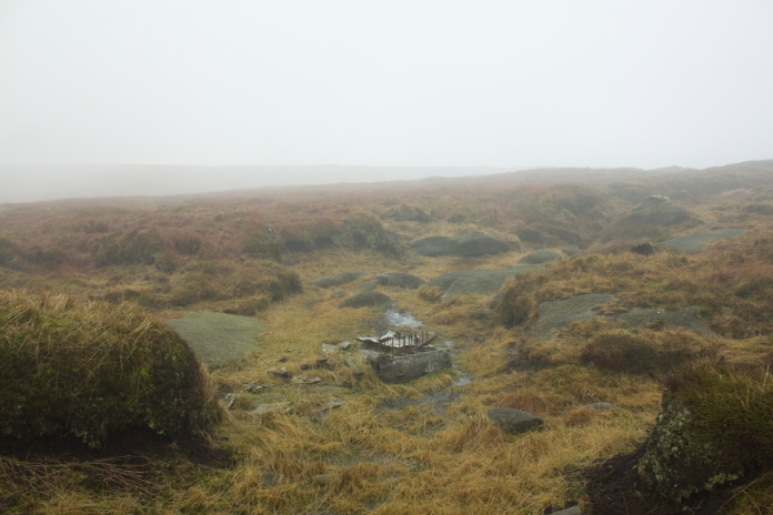
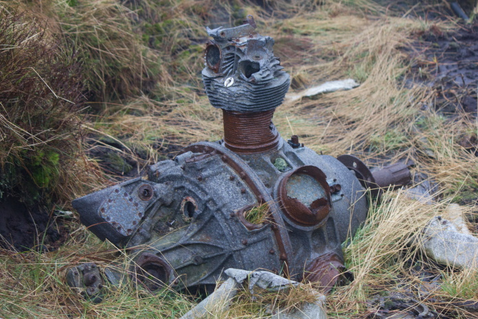
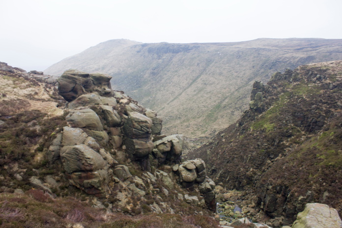
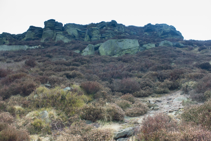
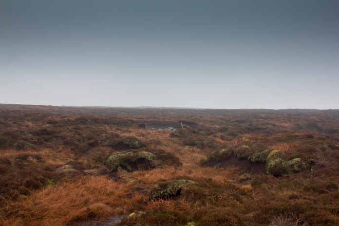
Of the six crashsites I was going to visit I figured the Anson and Dragon Rapide on Edale Moor might prove the hardest to reach and to find, the Heyford crashsite on Broadlee Bank proved very easy to locate as despite there only being a few fragments left they lie in a large crater and are very close to the path.
Above and below:-Crashsite of HP Heyford K6875 on Broadlee Bank.
The wall in the background was demolished by the crashing Heyford and never rebuilt.
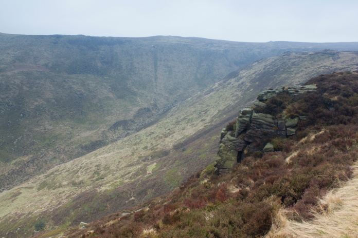
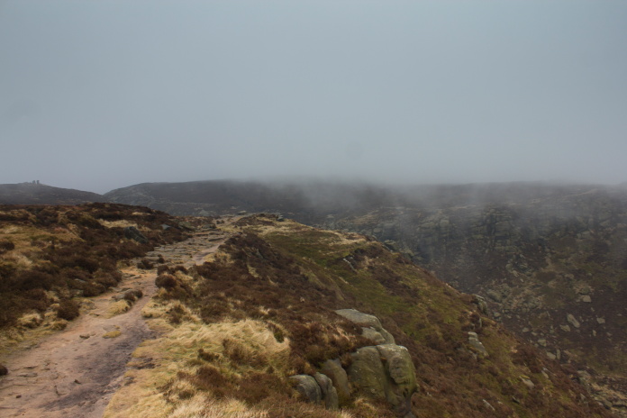
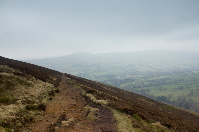
After the steep slog up onto Broadlee Bank the hard work was done for the day as the rest of my walk was going to be on relatively flat ground on the southern edge of the Kinder Scout plateau, apart from the steep descent at the end but that would be downhill.
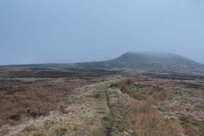
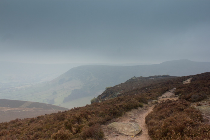
Heading across to Grindslow Knoll from the Heyford crashsite on Broadlee Bank.
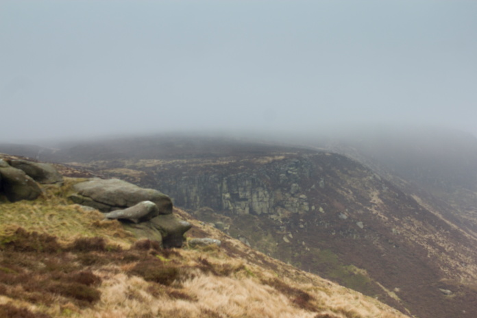
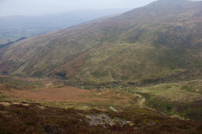
The weather on this day was not quite as nice as on my walk the previous day, but although it was very cold with low cloud loitering over the higher ground it remained dry.
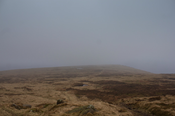
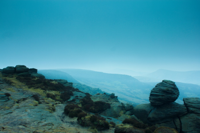
View back to the top of Broadlee Bank, the Heyford wreckage is just to the left of the highest point.
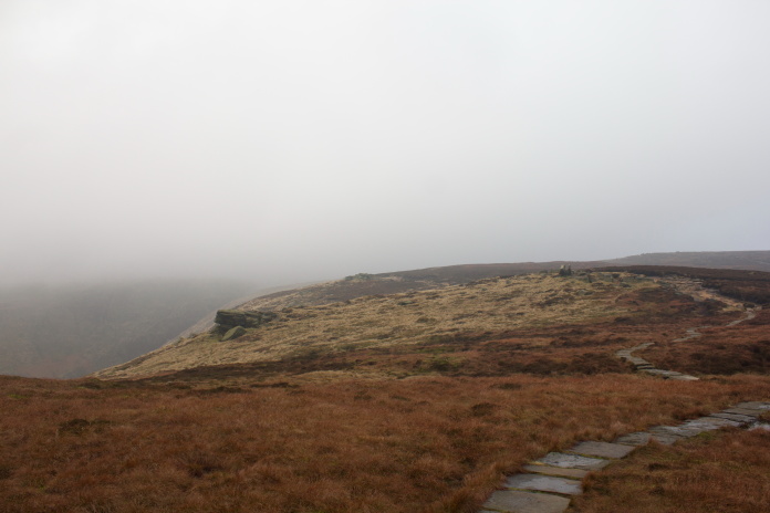
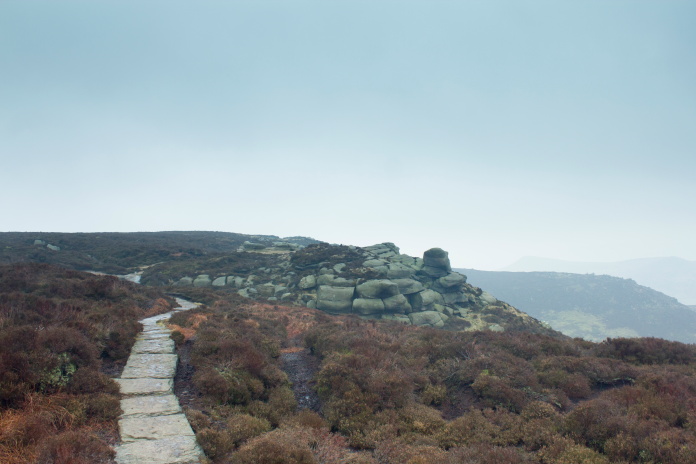
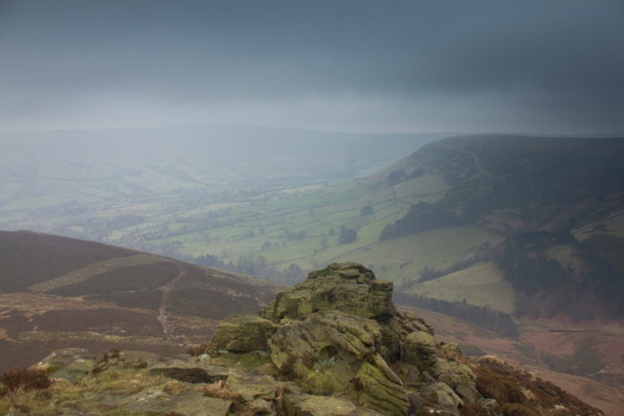
A nice pavement to follow and it's not even the Pennine Way.
Once the path I'd followed up from Broadlee Bank intersected a very well used path that ran around the southern edge of the Kinder Scout plateau I had to head off cross country over Edale Moor to find the Anson and Dragon Rapide. Instead of making a beeline for the Anson crashsite I decided to follow the well used path to the east for a bit to where it turned north to avoid a deep ravine.
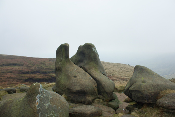
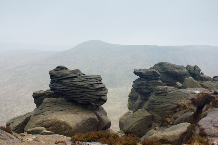
Strange shaped rocks at the path intersection, carved to resemble dinosaur bones by strong winds.
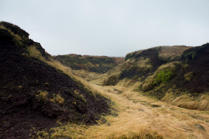
After heading north up the western side of the deep ravine the path, having found a suitable place to cross, turned south and went back down the eastern side of the same ravine. I continued north at that point as this enabled me to follow a stream up to the Dragon Rapide crashsite which I knew lay amongst some boulders, so should be easier to find than the Anson which lay hidden in a gully.
The point where the path turned north.
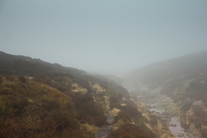
Above and below:-Following the stream.
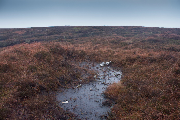
I'd expected it to be tough going and very boggy across Edale Moor but there was a reasonably good path that also followed the course of the stream, so I reached the Dragon Rapide crashsite very easily, although I did have to search several groups of boulders before I found the correct one.
At this point I was equal distance from the Anson which was up a gully to the left and the Dragon Rapide which was over the rise on the right.
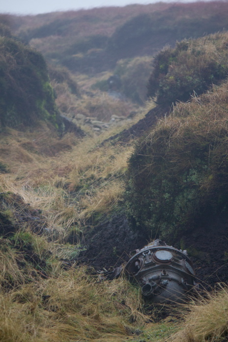
Above and below:-Not much left at this one either.
The wrecks in the Peak District seem to be well known about, well visited and well stripped by the magpies, at least that appeared to be the case with the ones I visited. One advantage of the area being so popular was there seemed to be paths leading to everywhere. There was no path however from the Dragon Rapide site over to the nearby Anson.
The going over to the Anson crashsite.
I estimated the Anson wreckage was about half a kilometre from the Dragon Rapide, it was going to be difficult to locate in the deep peat groughs so I took a compass bearing and began counting my steps as I knew every time my left foot hit the ground I'd have covered roughly one metre.
Both engines and some small pieces can be found up this gully.
Above and below:-The remains of both of the Anson's Cheetah engines, out of the 18 cylinder heads one has survived.
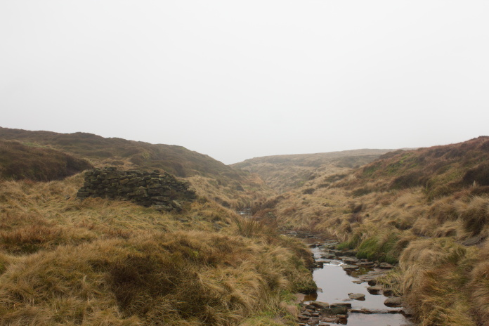
Finding my way back to the stream was made easy by just following this massive peat grough.
Once back at the main footpath I followed it down the east side of the ravine then after it turned back in an easterley direction it would be a short walk to crashsite number four of my route.
Above and below:-Back down the other side of the ravine.
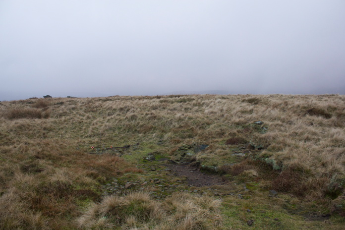
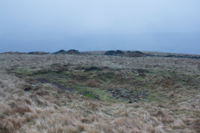
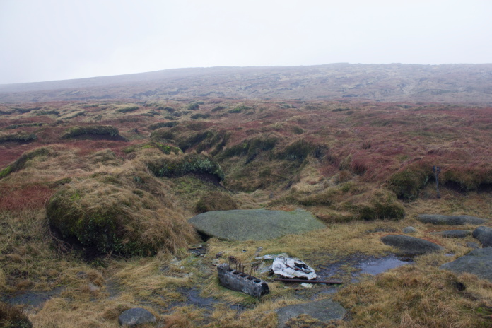
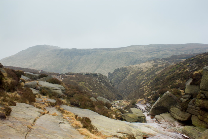
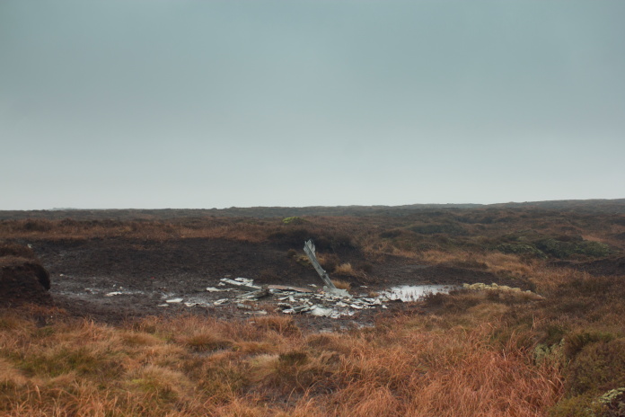
The fourth crashsite was a Vicker Wellington that was very close to the path but on extremely steep ground just below a rockface. I could see the location from quite some distance away and it began to look like it might be a bit tricky to find, but as I arrived at the point where the path passes above the cliff I could see a small collection of wreckage lying next to a scar below the cliffs.
The Wellington crashed just below and to the right of the cliffs.
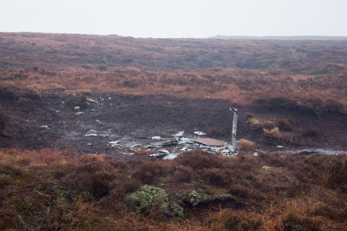
Above and below:-Fragments of Wellington W5719.
Scar caused by the crash. The path passes above the rocks in the background.
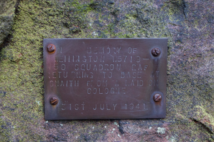
Small plaque attached to the rockface above the crashsite.
View of the crashsite from above with Grindsbrook Cleugh in the background.
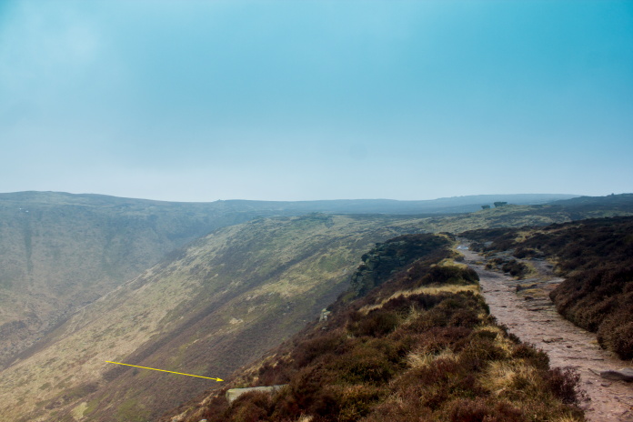
View of the crashsite taken from the path.
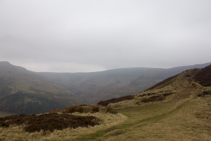
From the Wellington I had just over a mile to walk along the top of the cliffs to an area called 'Ringing Roger', not far from there was another Wellington wreck, which itself was very close to the remains of a Handley Page Halifax.
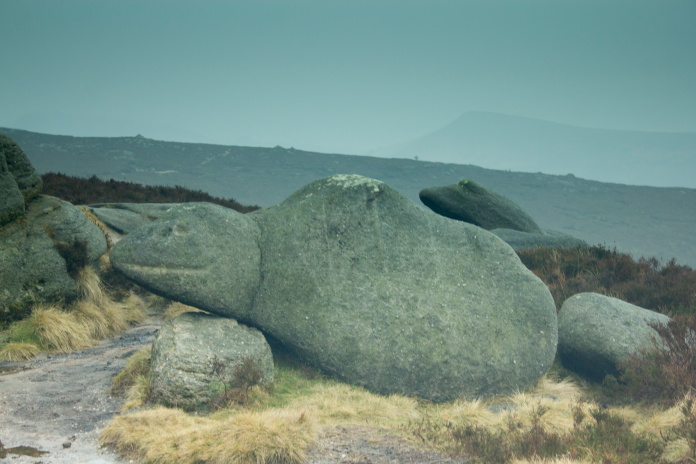
Above and next 3 photos:- Passing more wierd shaped boulders while walking along the path towards Ringing Roger.
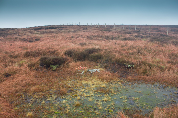
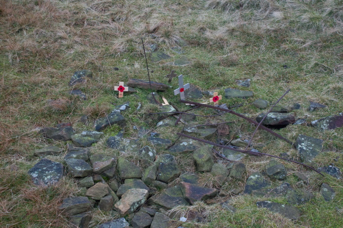
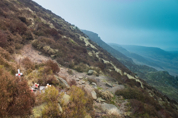
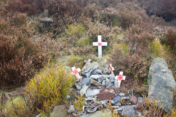
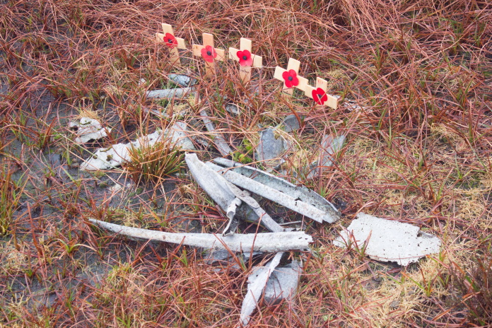
Above and next two photos:-Sparse remains of Wellington X3348. There were 6 crew members on this Wellington and they all survived the crash, so the 5 remembrance crosses suggests someone has mistaken this crashsite for the nearby Halifax where 5 of the crew did perish or possibly another Wellington that crashed about one mile from here where 5 of the crew were also lost!
Above and below:-Approaching the Halifax crashsite.
above and below:- Main area of wreckage from Halfax HR727.
The main area of the Halfax wreckage was easy enough to find, but I had seen photos of some other smaller collections of wreckage on the internet so I started making ever increasing circles around the wreckage in an attempt to find the other bits. As I was on my third circle I bumped into a member of the Peak District Mountain Rescue Team who was out training. Having noticed that I was walking around in circles he enquired if I was OK, when I explained what I was doing he told me there was more pieces of the Halifax to the south of the main area, so I abandoned my circular search pattern and concentrated looking to the south instead. Although I found some other bits it turned out the bits I had seen photos of on the internet were to the north.
A small area of wreckage I did find to the south.
Although I didn't find much to the south what I did find was all in a line travelling north to south so I did contemplate continuing on that line but to the north of the main area of wreckage instead, but the icy cold wind and failing light persuaded me otherwise. I instead continued south until I rejoined the path and struck out back towards Ringing Roger to find the path down to the village of Edale.
On the well trodden path heading towards Ringing Roger.
On top of Ringing Roger.
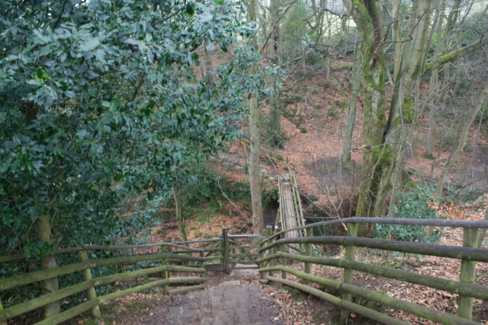
Above and next two photos:-The path down to Edale.
When I reached a gate into a field near the bottom of the Hill I had to stop and take off about 3 layers off clothing as the difference in temperature down here to the top of the hill was quite considerable, mainly due to the lack of wind chill. I still had over 2 mile to walk back to the car but it was all low level once I reached Edale and most of that on Pennine Way pavement.
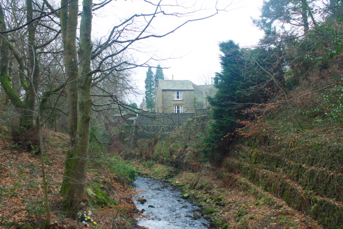
Above and below:- Nearing the
Village of Edale.
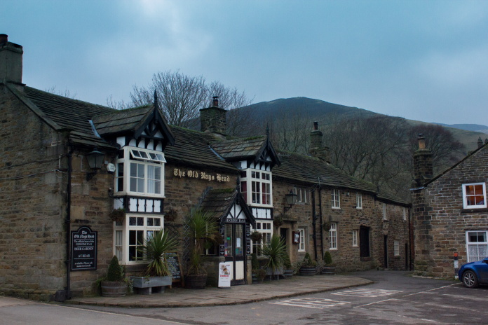
The thought of nipping in there was tempting but unfortunately I had a 3.5 hour drive home to look forward to.
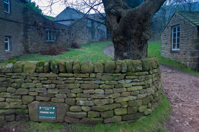
Above and below:-I didn't realise until I happened across the sign that this was the start of the Pennine Way.
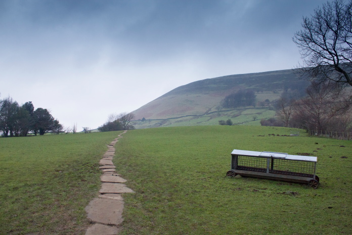
Pennine Way pavement, I must have passed about 20 people on this bit of path, I wonder how many thought I was starting off on the 256mile walk to Kirk Yetholm.
I've now walked 2 mile at the start of the Pennine Way and 8 mile at the finish, just got the 246 mile in the middle left to do now. Well to be more accurate the 240 mile in the middle as I've also walked about 6 mile of Pennine Way on my various visits to crashsites in the Northern Pennines.
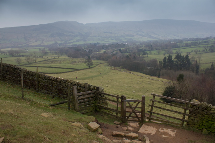
Back to the wall at the base of Broadlee Bank.
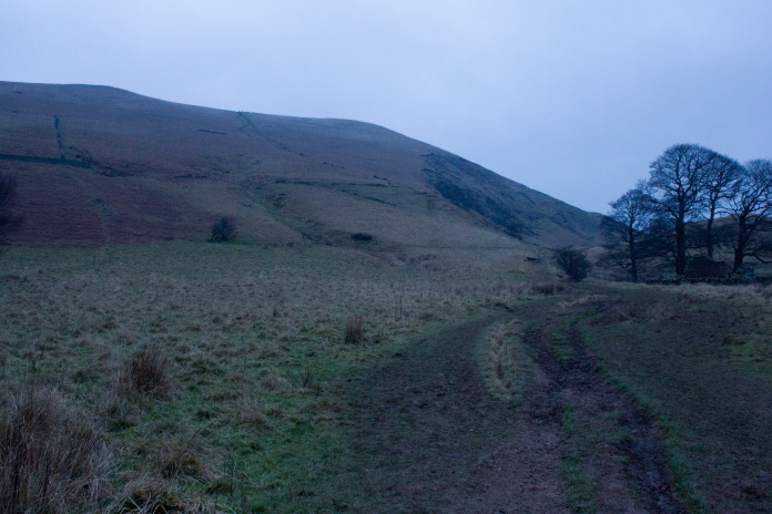
Broadlee Bank on the left, I couldn't take this photo on the way out as it was too dark.
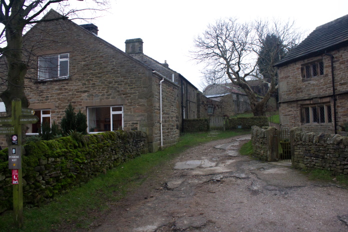
As well as taking some photographs of my route to visit crashsites I also usually take one of where I parked the car, today I couldn't as it was pitch black, so I figured I'd take one when I returned then just stick it at the beginning. Unfortunately by the time I returned to the car it was pitch black again so the last photo I took was passing through Upper Booth Farm.
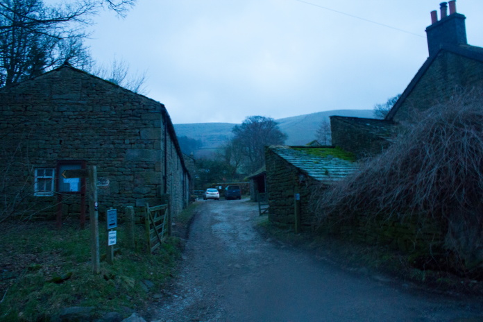
Upper Booth, the Pennine Way goes right through the farmyard. It was a lot darker than it appears on the photo by the time I was back here!