
The Longest Day.
NA P51 Mustang 44-72181 on Castleshaw Moor
(Distance covered =
2.24mile/Ascent =+94m)
Fairy Barracuda MD963 on Close Moss
(Distance covered =
1.2mile/Ascent =+73m)
Boeing B-17 43-37667 on Meltham Moor
(Distance covered =
2.50mile/Ascent =+121m)
Consolidated B-24 42-94841 on Twizzlehead Moss
(Distance covered =
1.40mile/Ascent =+26m)
Gloster Meteor RA487 on Hagg Side
and
BP
Defiant N1766 on Rowlee Pasture
(Distance covered =
3.86mile/Ascent =+284m)
DH Vampire WA400 on Strines Moor
(Distance covered =
0.36mile/Ascent =+22m)
Heather was off to dance in the Isle of Wight Tattoo with the White Rose Dance Group, she was going to travel down with the White Rose organiser, Catherine. Catherine lives near Huddersfield; Huddersfield is right next to the Peak District. Well you can figure out where this is going!
The weather forecast for the weekend of the Isle of Wight Tattoo was looking really good so I planned a couple of good long walks, well to be more exact, 1 good long walk split into 6 shorter walks on the Saturday and one long walk on the Sunday. As the girls were catching the early Isle of Wight Ferry on Saturday morning we had to be at Catherine's house at 7-15am which meant leaving our house at 5:00am. After dropping Heather off at Catherine's house I was up onto the moors and ready to set off walking by 8-00am.
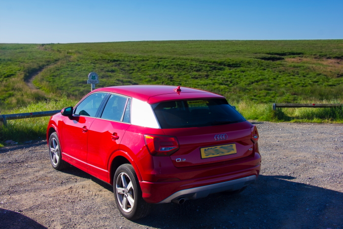
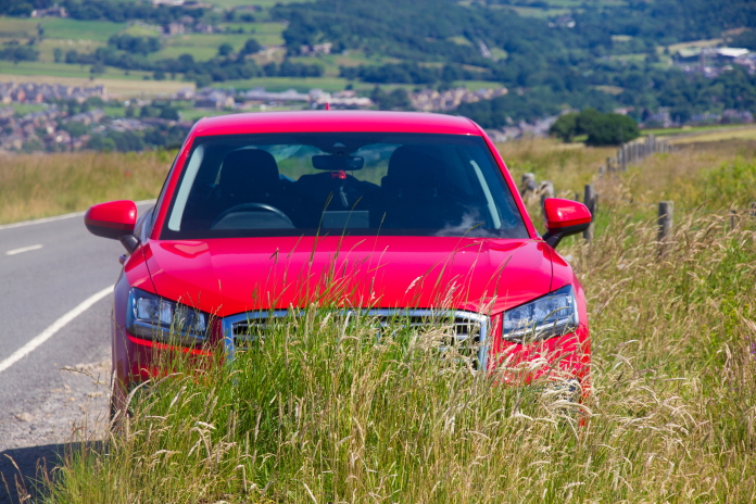
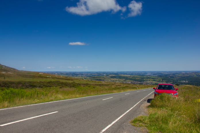
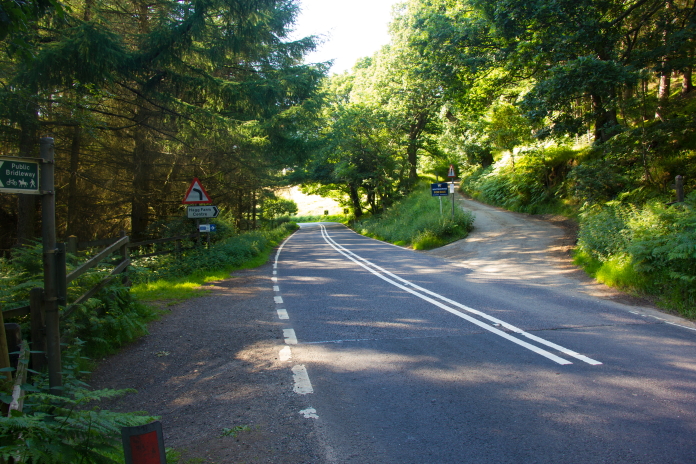
Heather's new car, an Audi Q2, parked at Haigh
Gutter on the A640.
When I found out Heather wanted me to drive down to Huddersfield with her I incorrectly deduced I wouldn't have much time to do any walking on the Saturday so made plans for just one walk to a B-17 on Meltham Moor, I then noticed a Fairy Barracuda had crashed not too far away and very near to the road, so I incorporated that into my plans as well in case it transpired that I had enough time. I eventually ended up with 7 crashsites on my 'To visit' list for Saturday with the idea being to just keep going to the next one on the list until I ran out of daylight.
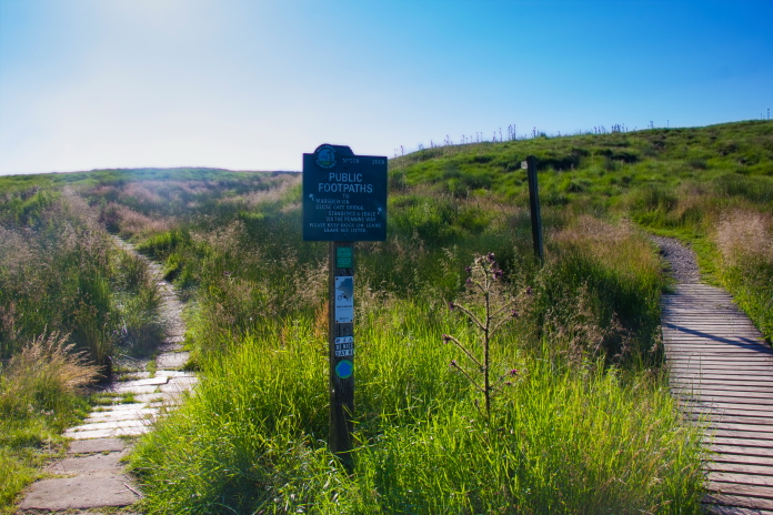
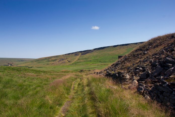
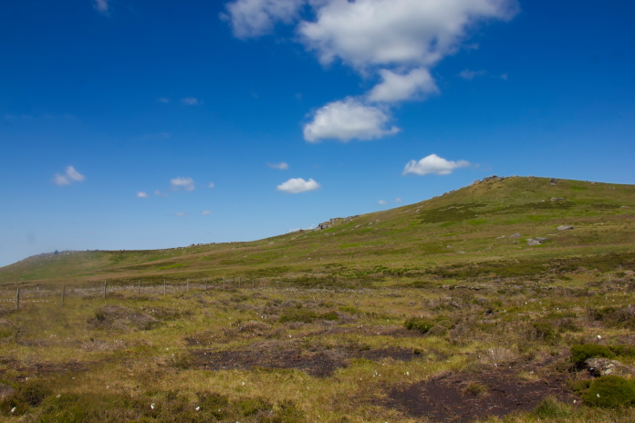
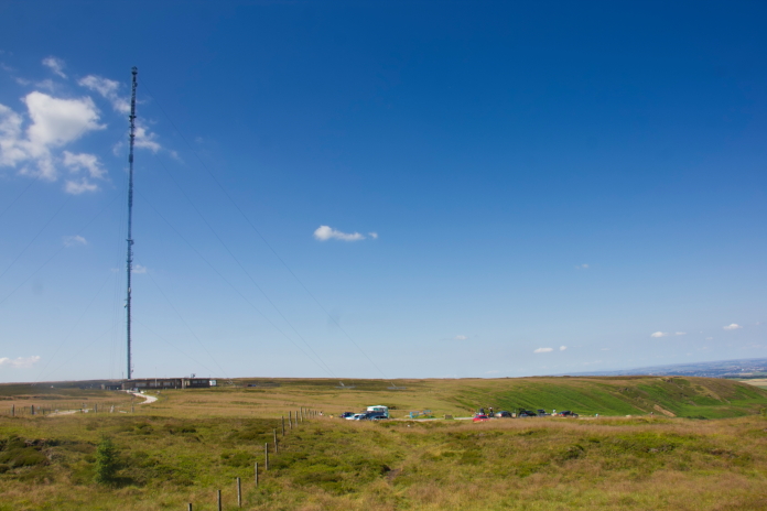
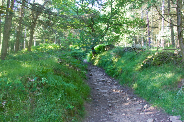
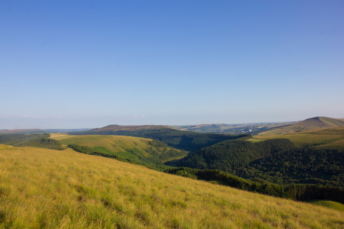
Off over the moors to crash site number 1 of the day.
Although the Meltham Moors B-17 was first on my list I rejigged the order a bit to minimise the distance I spent driving, so my first walk was to an American P51 Mustang called 'Sunny VIII' that crashed on Castleshaw Moor.
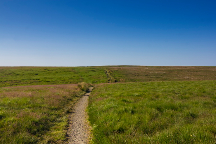
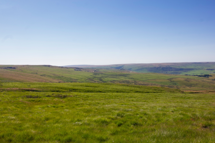
above and below:-Walking across Haigh Gutter Moss towards Northern Rotcher.
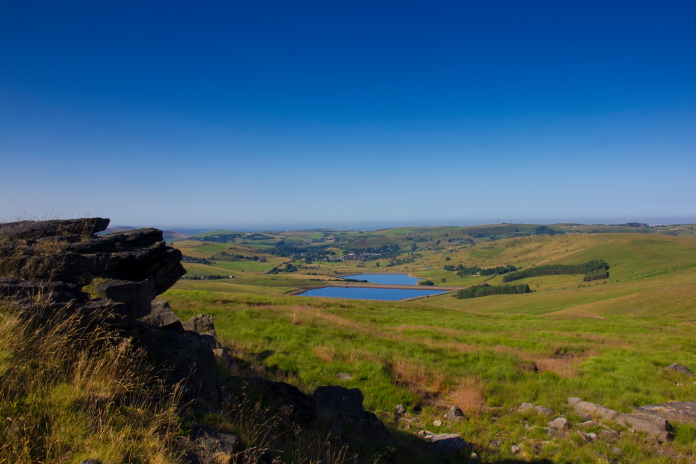
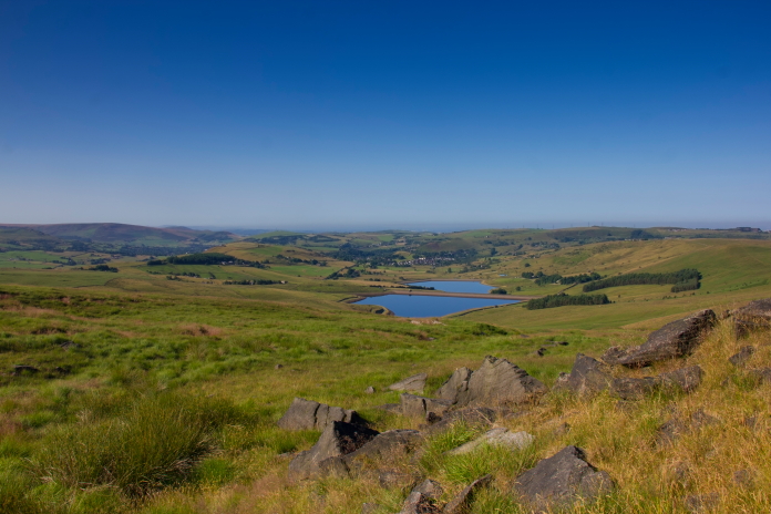
View across to Castleshaw upper reservoir
from Northern Rotcher..
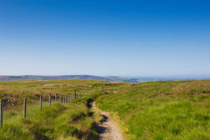
above and below:-Walking across to Castleshaw Moor from Northern Rotcher.
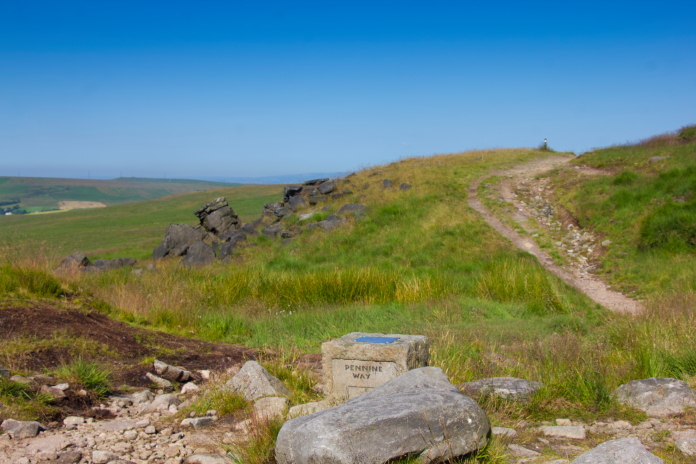
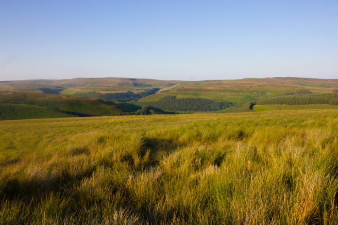
Most of this walk was very easy going along the Pennine Way apart from the last 300 metres or so across to the P51 wreckage, which was very tough going through long tussocky grass which was hiding numerous opportunities to pick up an injury or at least faceplant into a hidden bog. Thankfully I managed to negotiate it unscathed and found the P51 remains with little difficulty despite there being very little left to see.
above and below:-The area where Sunny VIII's remains lie.
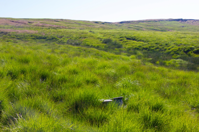
Scant remains of P51 'Sunny VIII' on Castleshaw Moor.
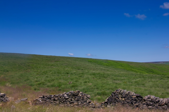
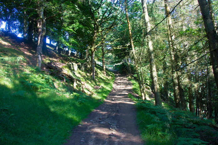
More crashsite photos. On regaining the Pennine Way after visiting the P51 site I could of turned right and continued along it for another 1.75 mile to reach crashsite number two on my list, but then I would have had a 2.5 mile return leg back to the car so, as that one was only about half a mile from the A62 I took the lazy option, turned left, walked back to the car and drove around.
 above and next two photos:-Making my way back over to the Pennine
Way.
above and next two photos:-Making my way back over to the Pennine
Way.

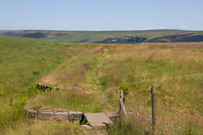
Parked beside the A62 next to Redbrook Reservoir. It was such a short distance from the A62 to the second crashsite that I didn't take the rucksack, just the map, my camera and a bottle of water. As well as being a short distance there were also very few contour lines to cross and with paths to follow right up to the crashsite it didn't take very long at all to reach it..
 above and next 4 photos:- walking up onto Close Moss.
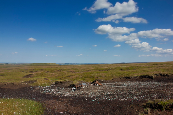
Remnants of Barracuda MD963. More crashsite photos.
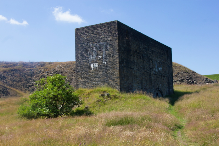
 This was an air vent for the railway and canal Tunnels that ran
underground here.
This was an air vent for the railway and canal Tunnels that ran
underground here.
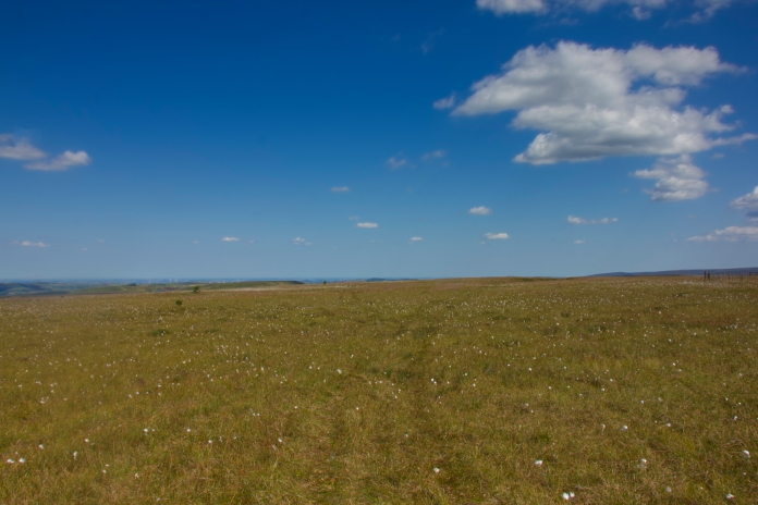
This walk didn't take long.
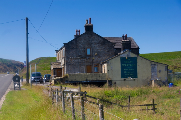
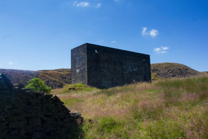
Because it was such a scorching hot day I was tempted to go in here and re-enact the bar scene from the movie 'Ice Cold in Alex'. It was however not open.
 above and below:- Parked up on the Wessenden Head Road above
Meltham, ready for walk number 3.
above and below:- Parked up on the Wessenden Head Road above
Meltham, ready for walk number 3.
 Parking was very limited at the start of my third walk of the day but
I managed to squeeze Heather's new Audi Q2 onto a sort of a layby about
1/4 of a mile down the road from where I wanted to be. It was now very
very warm, indeed the temperature gauge in the car was reading 38
degrees Celsius. The heat was making walking very tiring.
Parking was very limited at the start of my third walk of the day but
I managed to squeeze Heather's new Audi Q2 onto a sort of a layby about
1/4 of a mile down the road from where I wanted to be. It was now very
very warm, indeed the temperature gauge in the car was reading 38
degrees Celsius. The heat was making walking very tiring.
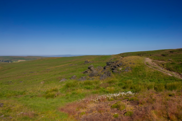
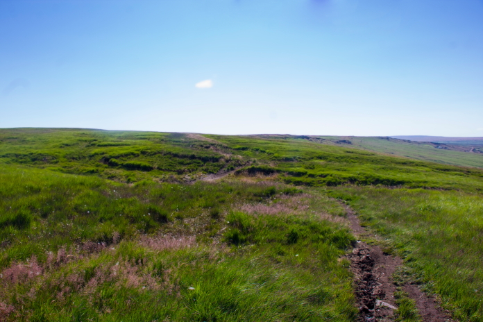
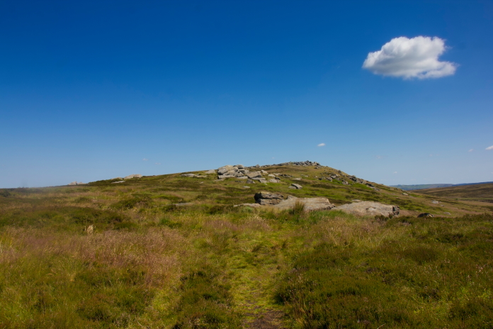
The small peak of West Nab; although small I still went around it instead of over the top.
 above and below:- Walking along the ridge to the west of
High Nab.
above and below:- Walking along the ridge to the west of
High Nab.
 The B-17 crashsite I was going to visit is on a rifle range, although
I'd written to get permission to enter the range I figured
the best approach to the site would be to walk down a gully, thus keeping
myself off the skyline and out of sight.
The B-17 crashsite I was going to visit is on a rifle range, although
I'd written to get permission to enter the range I figured
the best approach to the site would be to walk down a gully, thus keeping
myself off the skyline and out of sight.
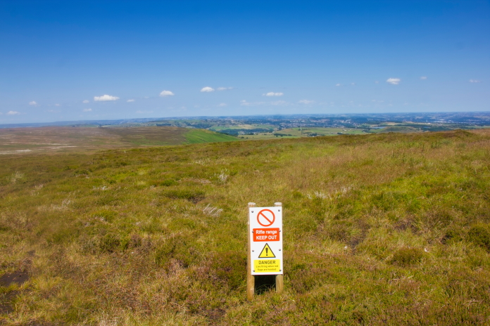
The perimeter of the Gun range, although the actual gun range was about a mile away this was the edge of the overshoot area. It is advisable to seek permission before going to see this crashsite. I followed the perimeter of the gun range around to the west until I came to the head of the gully which contained the remains of the B-17, I then followed that downhill to the crashsite. In the gully sheltered from any breeze it was even warmer.
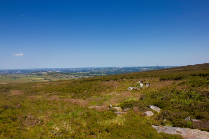
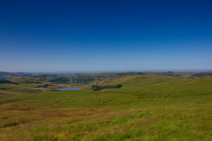
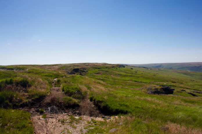
Arriving at the remains of B-17 43-37667. More crashsite photos. Walking back to the car seemed like a lot farther than it actually was, mainly due to the intense heat which was proving to be a bit of an energy sapper. I walked back along the ridge but this time I went up onto the summit of West Nab, where I found a large boulder under which I sheltered from the heat for a while before descending the last 300m down to the road.
Approaching the summit of West Nab on the way back. Doing several shorter walks instead of one large one was proving to be a very successful tactic on this day, as every time I had to move the car to the start of the next walk I was able to stick on the A/C to cool down, put on a fresh shirt and drink plenty of fluids. Walk number 4 was some unfinished business from the previous year when I had done a walk starting at Holm Moss Mast intending to visit 5 crashsites*. I made it to 4 but had to abandon the fifth one due to very inclement weather.
above and below:- Setting off to visit the remains of B-24 42-94841 in slightly better weather than my previous attempt.
 This walk was only 1.4 mile there and back but again because of the
heat it was hard work and upon arriving back at the car I felt like
I'd walked a lot further. Annoyingly I've found out since my visit to
this crashsite that there are some more bits a bit further down the
hill. I would normally have a good search around and find bits like
that but today I was so hot and uncomfortable I didn't, so I missed
them!
This walk was only 1.4 mile there and back but again because of the
heat it was hard work and upon arriving back at the car I felt like
I'd walked a lot further. Annoyingly I've found out since my visit to
this crashsite that there are some more bits a bit further down the
hill. I would normally have a good search around and find bits like
that but today I was so hot and uncomfortable I didn't, so I missed
them!
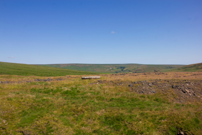
Nearing the B-24 on a featureless bit of moorland.
Main B-24 site near Holm Moss Mast. More crashsite photos.

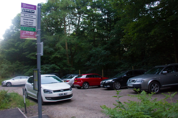
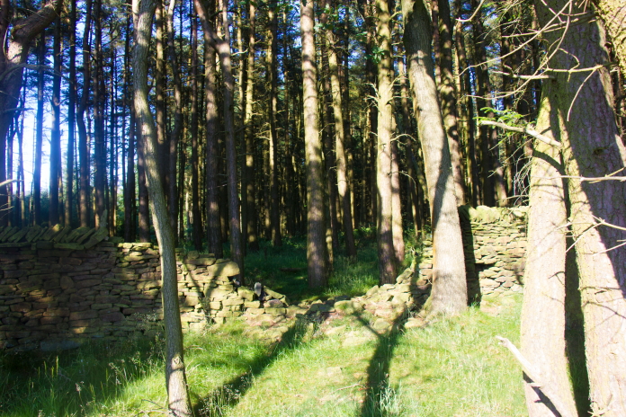
Knowing which direction to walk back to the car park was quite easy here. I had a bit of a longer drive to reach the start of walk numbers 5 and 6 and I also had to pass through the town of Glossop, this provided me with the opportunity to acquire some ice cream and a nice icy cold drink, which set me up nicely to tackle what was going to be the longest walk of the day, to two crash sites just west of Ladybower Reservoir. After Glossop I had to drive along the Snake Pass passing the point where the road is crossed by the Pennine Way. The verges either side of the gate to the Pennine Way were rammed full of cars which were spewing out a steady procession of People, most likely heading off to the crashsite of B-29 'Over Exposed'**. Over Exposed has become a bit of a Tourist Attraction and is unfortunately now living up to it's name!
 above and below:-The start of walk 5, I was hoping the going would
be a bit cooler in the shade of the trees.
above and below:-The start of walk 5, I was hoping the going would
be a bit cooler in the shade of the trees.
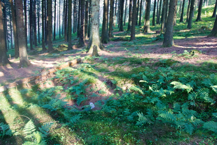
 above and below:-The path up past Hagg Farm onto Hagg Side was a
little cooler but still very warm.
above and below:-The path up past Hagg Farm onto Hagg Side was a
little cooler but still very warm.
 As I emerged out of the woods and back into the sunshine I had to
decide whether to go left and visit the Defiant wreck on Rowlee
Pasture first or go right and look for the Gloster Meteor remains that
lay in the woods on top of Hagg Side. I decided on doing the Meteor
first as it was in the trees plus it was now late afternoon so things
might start cooling down a bit by the time I set off up Rowlee pasture
where there would be no shelter from the sun.
As I emerged out of the woods and back into the sunshine I had to
decide whether to go left and visit the Defiant wreck on Rowlee
Pasture first or go right and look for the Gloster Meteor remains that
lay in the woods on top of Hagg Side. I decided on doing the Meteor
first as it was in the trees plus it was now late afternoon so things
might start cooling down a bit by the time I set off up Rowlee pasture
where there would be no shelter from the sun.
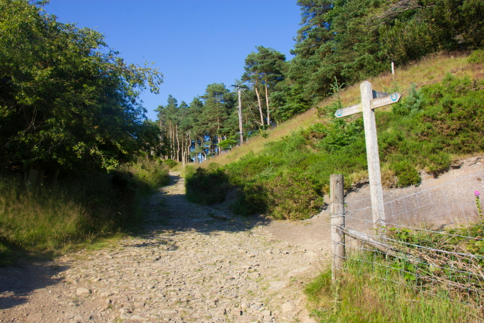
Left here for the Defiant or right for the Meteor.
The Meteor is in there somewhere. I usually like to find crashsites just using the map and compass, but as it was now getting quite late in the day and I still had two sites left on my list to visit I decided to save time and use my GPS. Trouble is my GPS does not work so good under tree cover so it had me scrambling around in a thick area of brambles and fallen trees before I gave up on it and used the gps on the iPhone instead.
 Crater in the woods where the meteor crashed, containing a few
bits.
More crashsite photos.
Crater in the woods where the meteor crashed, containing a few
bits.
More crashsite photos.
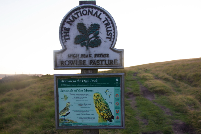
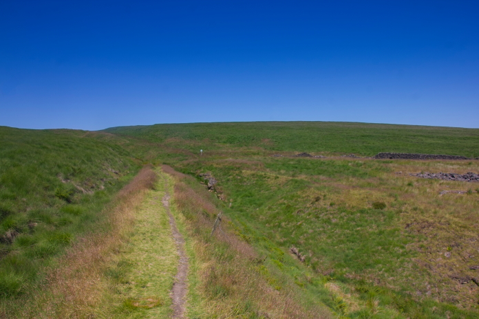
Above and below:-Onto Rowlee Pasture, my plan had worked as it was now considerably cooler.
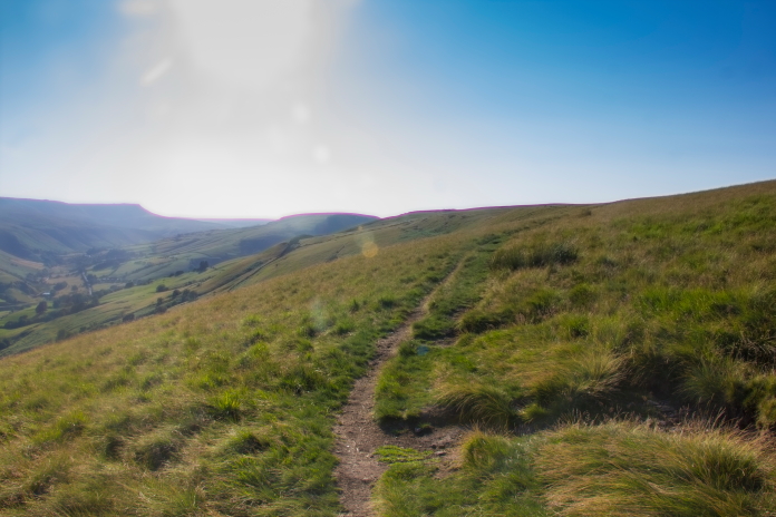 There was a nice path to follow up to the top of Rowlee Pasture but the last half a mile from there over to the remains
of the Defiant were very reminiscent of the first walk of the day to the P51,
i.e. deep tussocky grass and hidden bogs.
There was a nice path to follow up to the top of Rowlee Pasture but the last half a mile from there over to the remains
of the Defiant were very reminiscent of the first walk of the day to the P51,
i.e. deep tussocky grass and hidden bogs.
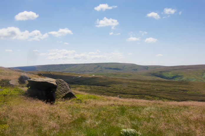
View down the valley from the top of Rowlee Pasture.
The remains of the Defiant lie in a large boggy hole, caused partly by the crash and partly by the efforts of a recovery group digging out the Rolls Royce Merlin engine. More crashsite photos.
 above and below:-Much more enjoyable weather on the descent of
Rowlee Pasture.
above and below:-Much more enjoyable weather on the descent of
Rowlee Pasture.
 By the time I walked back to the car then moved it up to the start of
walk number six it was beginning to get dark, but as walk number six
was to a crashsite that was a mere 200 metres from the road I was
still able to go and have a quick look.
By the time I walked back to the car then moved it up to the start of
walk number six it was beginning to get dark, but as walk number six
was to a crashsite that was a mere 200 metres from the road I was
still able to go and have a quick look.
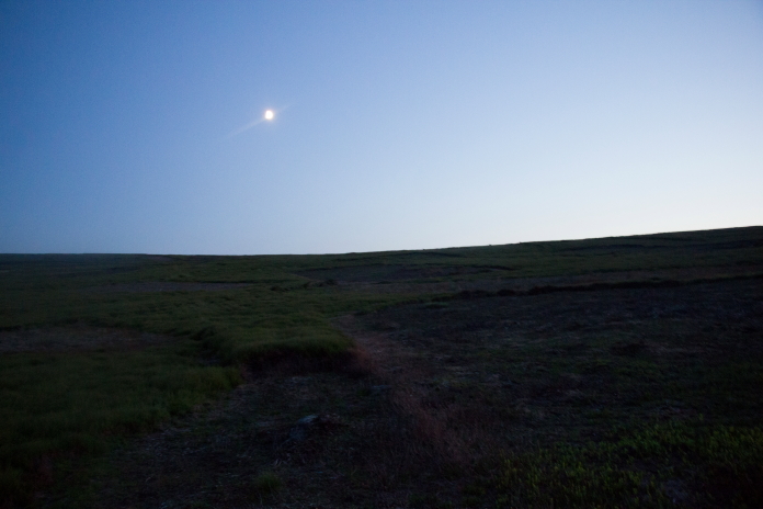
Approaching the crashsite of DH Vampire WA400
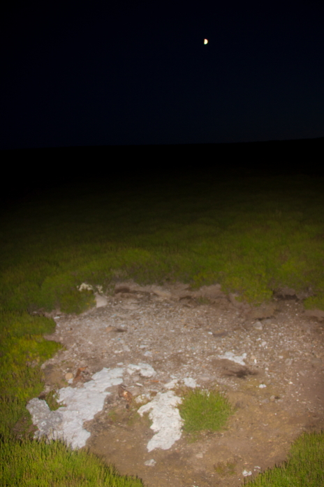
Probably the only photo of a crashsite I will ever take with the moon in the background. More crashsite photos. There was very little left at the Vampire crashsite which was just as well as nighttime had descended by the time I found it, so it was pretty difficult acquiring any descent photos of any remains. By the time I'd moved the car a couple of miles north to the start of my walk for the following day it was 11:30pm, so I had been on the go for 18.5 hours. A very long but very enjoyable day of walking despite the heat and it was finished off by probably the best nights sleep I had enjoyed in a very long time.
 *--1st visit to Holm Moss.
**-B-29 'Over Exposed'
*--1st visit to Holm Moss.
**-B-29 'Over Exposed'